
Average annual temperature
25.9 °C
Average of the twelve monthly means
Phou Xieng Thong National Protected Area
National Park
·
Thailand
Photo © Wanchana Tharaphon
Photo © Wanchana Tharaphon — CC BY-SA 4.0 — Source: Wikimedia CommonsABOUT
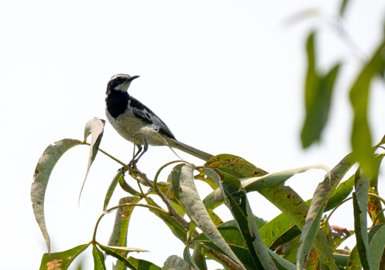
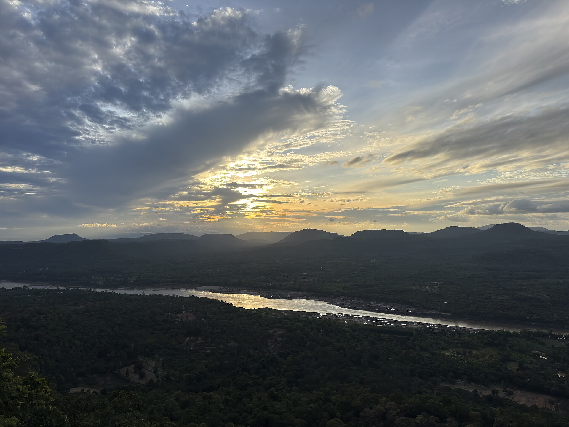
Where the Mekong River defines the border between Thailand and Laos, the forested plateaus of Phou Xieng Thong rise in rippling waves of limestone and sandstone, their slopes cloaked in a mosaic of tropical deciduous woodland, mixed dipterocarp forest, and bamboo thickets. This mountainous national park in Khong Chiam District straddles the transition zone between the drier northeast and the more humid regions to the south, creating a landscape of exceptional botanical richness. Seasonal waterfalls cascade through narrow gorges during the monsoon months, while permanent streams support pockets of gallery forest that harbour birds of prey, forest raptors, and the small mammals typical of Southeast Asian upland woodland—civets, flying squirrels, and nocturnal ground-dwellers that emerge when dusk falls across the canopy. The park's elevated terrain and mixed forest composition attract migratory waders during passage seasons, while resident woodland songbirds and insectivorous species maintain year-round populations in the dense mid-storey vegetation.
For wildlife photographers and birders, Phou Xieng Thong offers a compelling blend of accessibility and wilderness character. The park's network of trails ranges from easy riverside walks to more demanding ridge hikes, all of which traverse habitat types that shift visibly with elevation and exposure. Late autumn through early winter brings the clearest skies and most comfortable temperatures for extended field work, while the monsoon season transforms the landscape into a gallery of cascading water and intensified bird activity as migrants pass through. The relatively modest visitor infrastructure means that patient observers often find themselves alone in pristine forest, particularly along the quieter tributaries of the Mekong where light filters through the canopy at angles ideal for photography. Local guides with intimate knowledge of seasonal wildlife movements and trail conditions are essential for maximizing encounters, and the park's position on a major migration corridor ensures that visiting during passage periods offers unpredictable but rewarding opportunities.
WILDLIFE
COMMUNITY
0
Community observations
No community observations yet — be the first to log a sighting here.
Natural environment
Phou Xieng Thong National Protected Area
Warm throughout the year, with rainfall patterns shaping the seasons.
Usual climateTropical savanna with dry winterLowland · Upland
Average elevation
238 m
Lowland
Climate pattern
Tropical savanna with dry winter
Main environment around this hotspot
A year of temperatures
Monthly means, with the coldest and warmest highlighted
Monthly minimum · December 23.0 °C Monthly maximum · April 28.4 °C
Global temperature scale
−40°−20°0°20°40°
Terrain and elevation
238 m · LowlandAverage terrain elevation estimate across the hotspot; the figure does not represent its highest summits.
Elevation scale
238 m
02,0004,0006,0008,000m
Lowland