Batang Gadis National Park
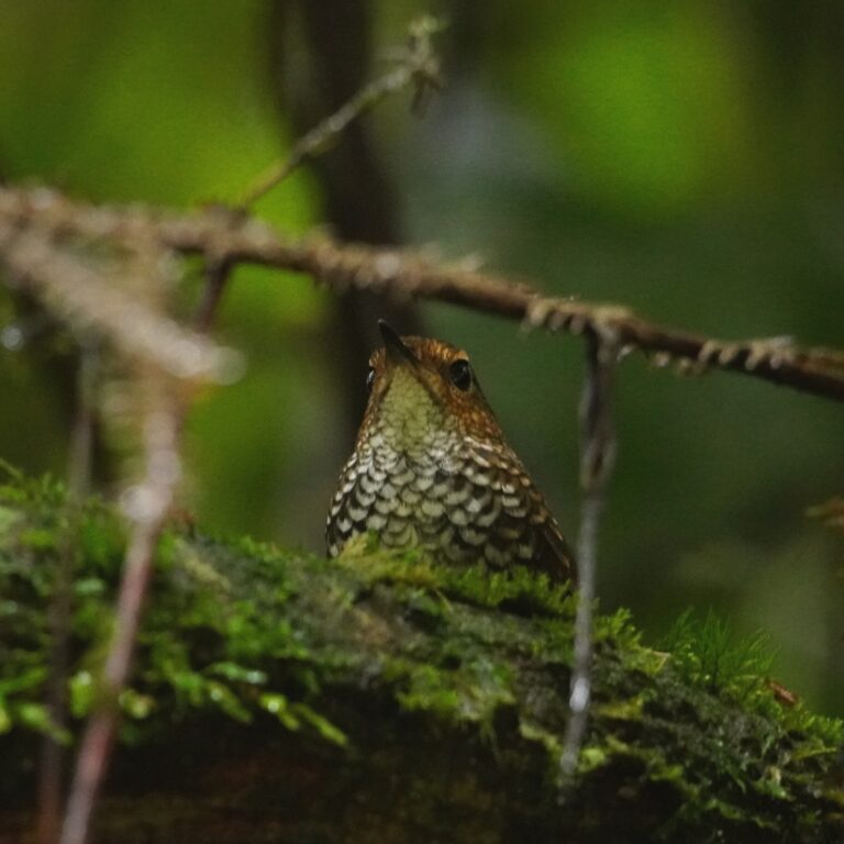
Photo © Lo2asinamura
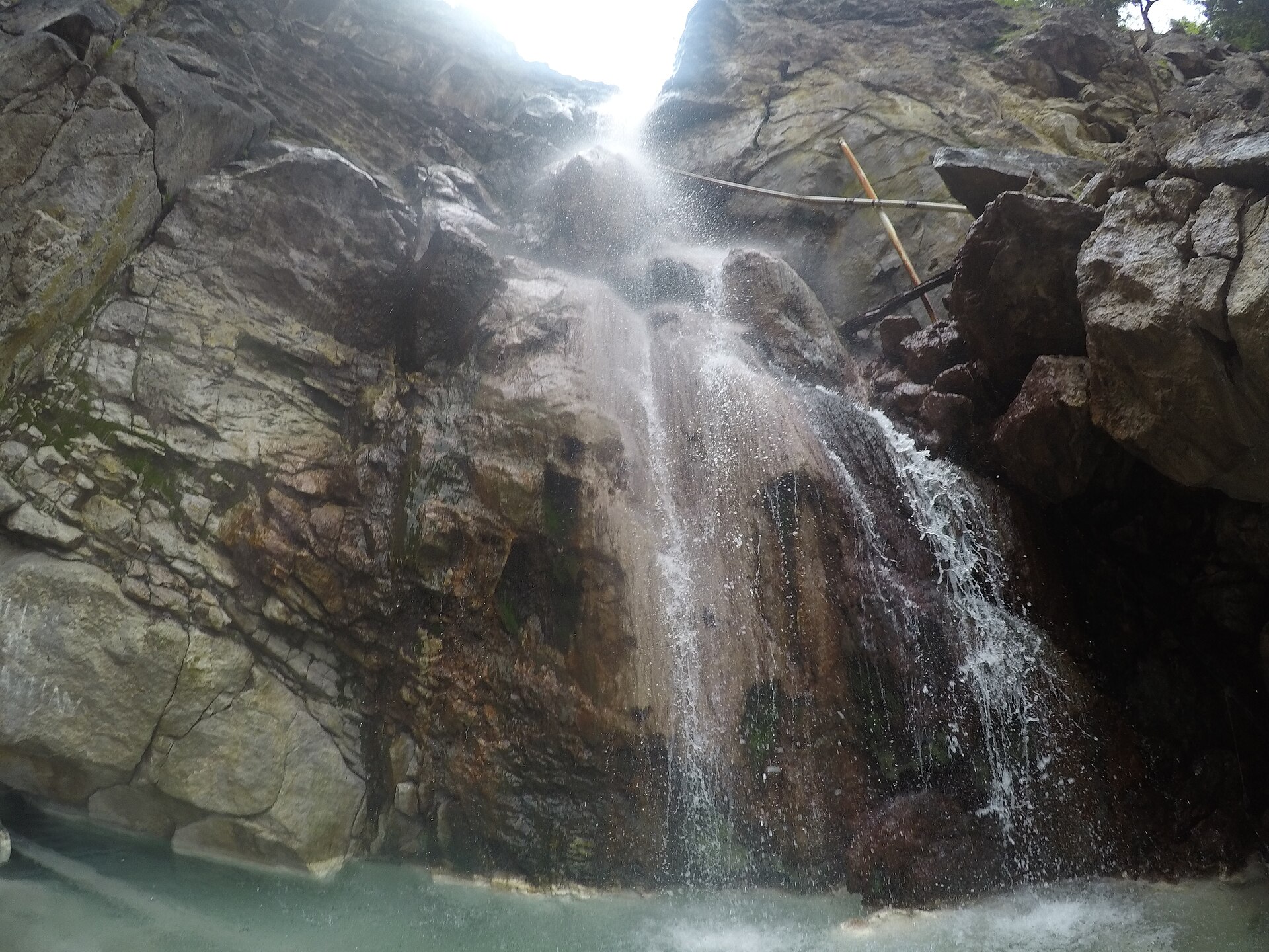
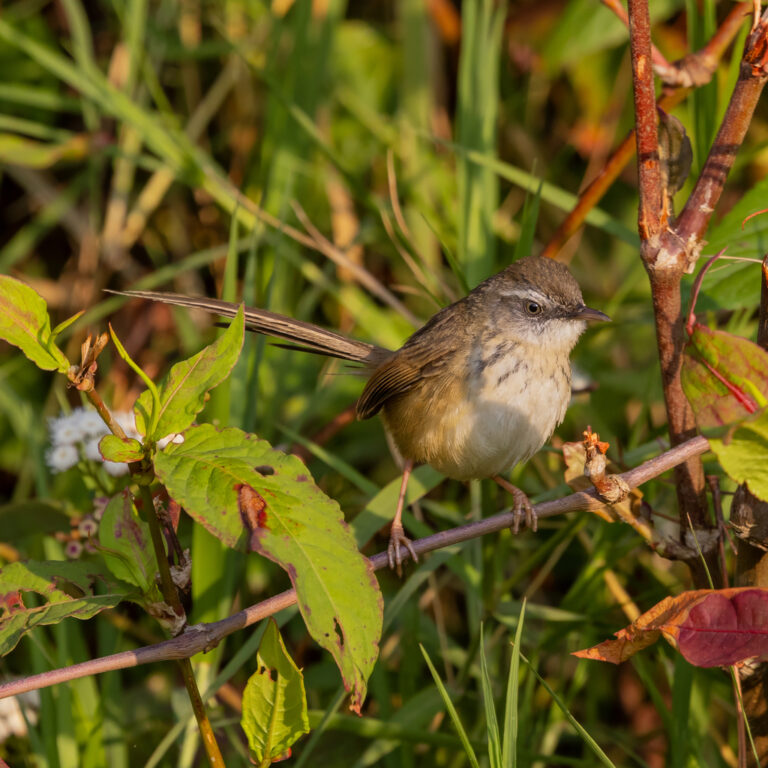
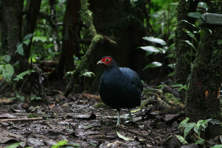
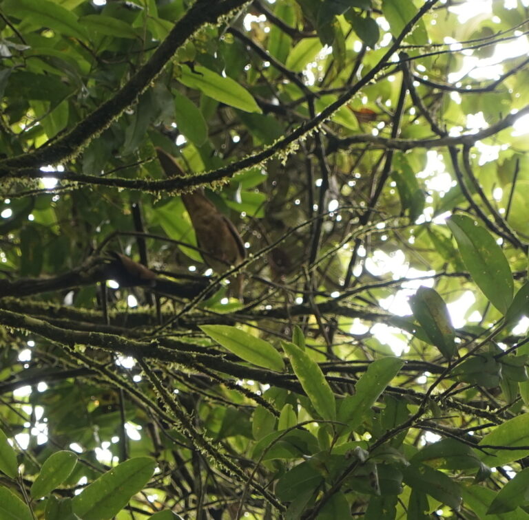
Photo © Lo2asinamura — CC BY-SA 4.0 — Source: Wikimedia CommonsSteep ridges and river valleys carved through North Sumatra's equatorial interior define Batang Gadis National Park, where monsoon forests cloak almost 3,960 square kilometers of mountainous terrain. This protected landscape straddles the Mandailing Natal region at elevations that climb from lowland riverine zones into montane forest, creating a mosaic of habitats that support the full spectrum of Sumatran forest wildlife. The Batang Gadis River itself remains the ecological artery of the park, its rushing waters threading through canyons lined with dipterocarp and mixed hardwood forest. Primary forest canopy shelters troops of primates, small forest mammals, and nesting birds of prey that hunt the forest edges and clearings. Amphibians thrive in the perpetual humidity and countless tributary streams, while nocturnal insectivores and small carnivores work the leaf litter and lower vegetation layers. The park's remoteness and topographic complexity have kept large sections relatively unexplored by scientific surveys, meaning faunal inventories remain incomplete—an indicator of both its conservation importance and the genuine wildness that persists within its boundaries.
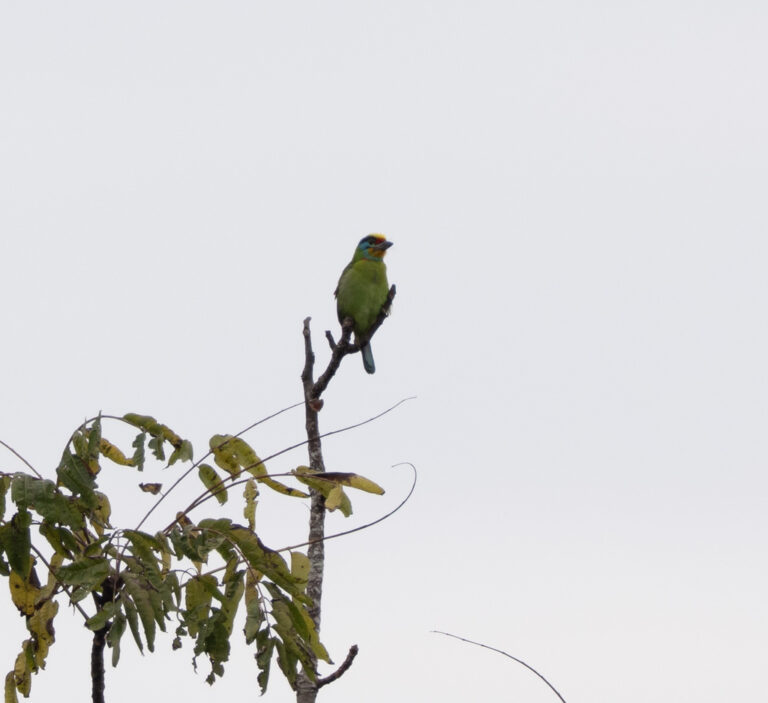
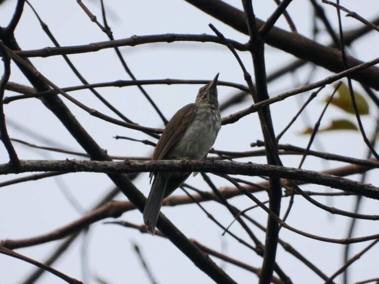
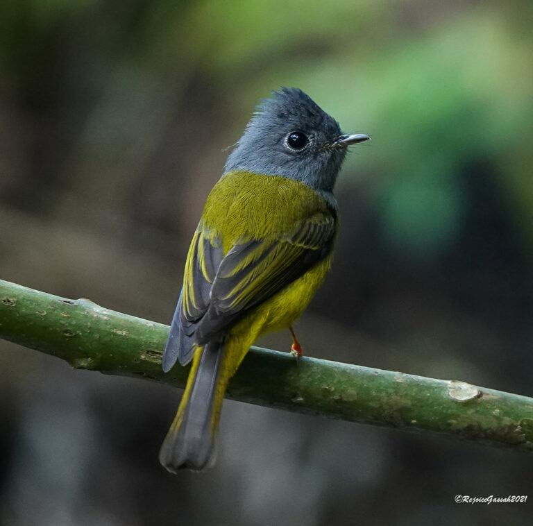
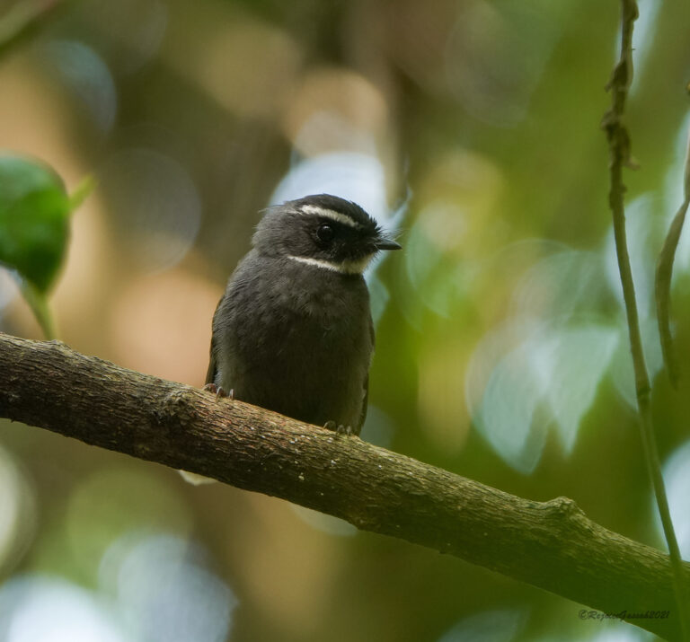
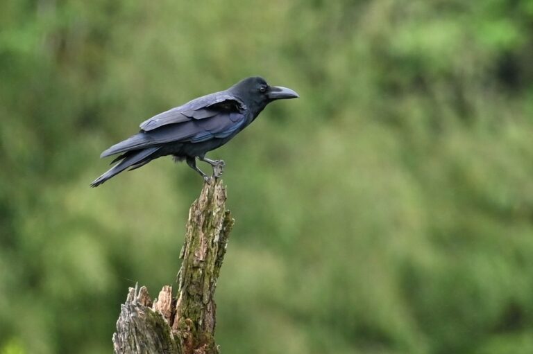
For wildlife photographers and biologists seeking authentic Sumatran forest, Batang Gadis rewards patience and physical stamina in equal measure. Birdwatchers will encounter woodland songbirds, forest raptors, and hornbills moving through the canopy, with light conditions best during early morning hours when mist clings to the ridges and canopy activity peaks. The wet season (September to March) swells the river and activates breeding cycles across the herpetofauna, though dry-season months (June to August) offer more stable trekking conditions and clearer skies for photography. Access remains challenging—the park's lack of developed infrastructure is deliberate, designed to limit pressure on its ecosystems—making a guided expedition with local naturalists essential both for safety and for interpreting the forest's ecological layers. Those willing to venture into this remote corner of North Sumatra encounter a landscape where human presence feels incidental and forest rhythms remain authentically intact.
No community observations yet — be the first to log a sighting here.
Batang Gadis National Park
Warm throughout the year, with rainfall patterns shaping the seasons.
A year of temperatures
Monthly means, with the coldest and warmest highlighted
Terrain and elevation
1,103 m · UplandAverage terrain elevation estimate across the hotspot; the figure does not represent its highest summits.
Upland