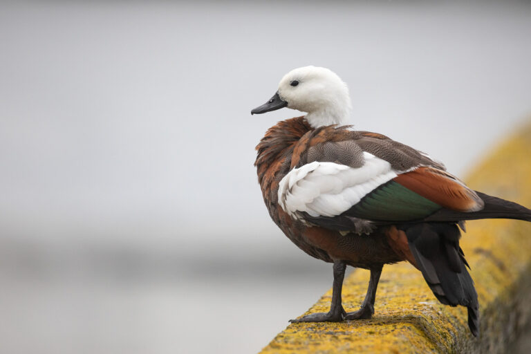
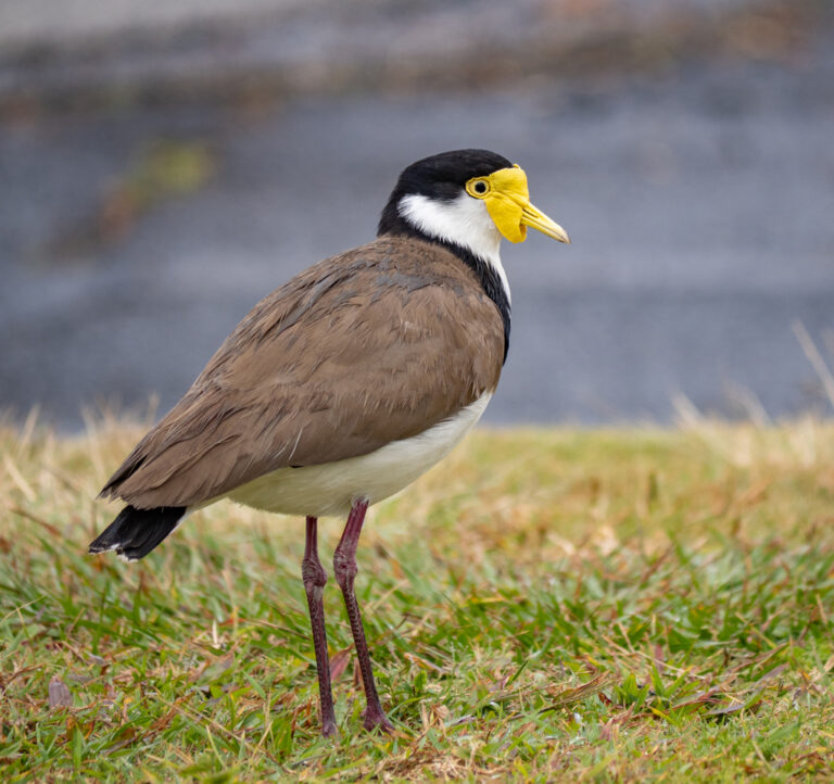
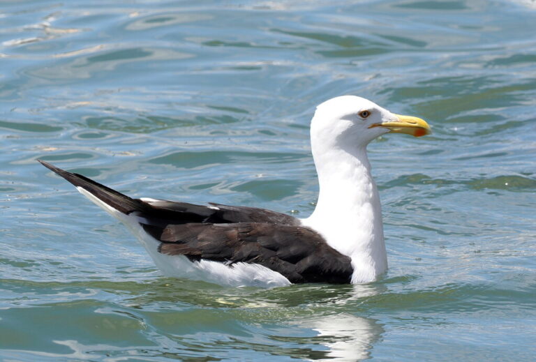
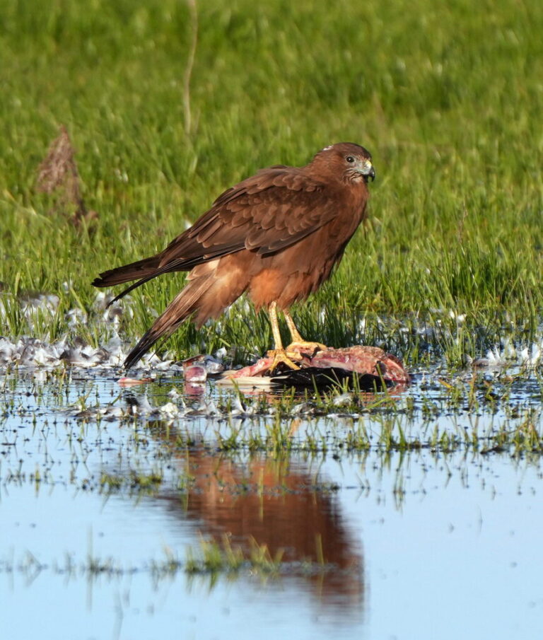
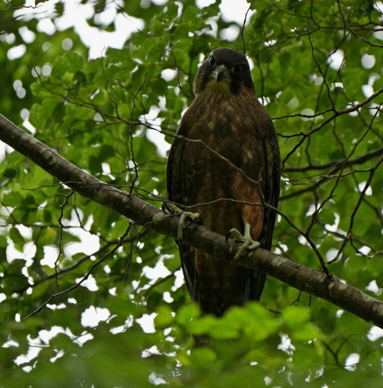
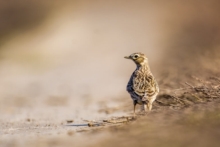
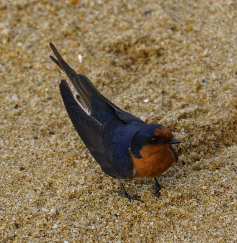
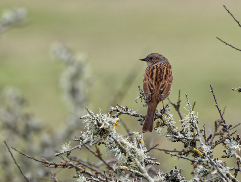
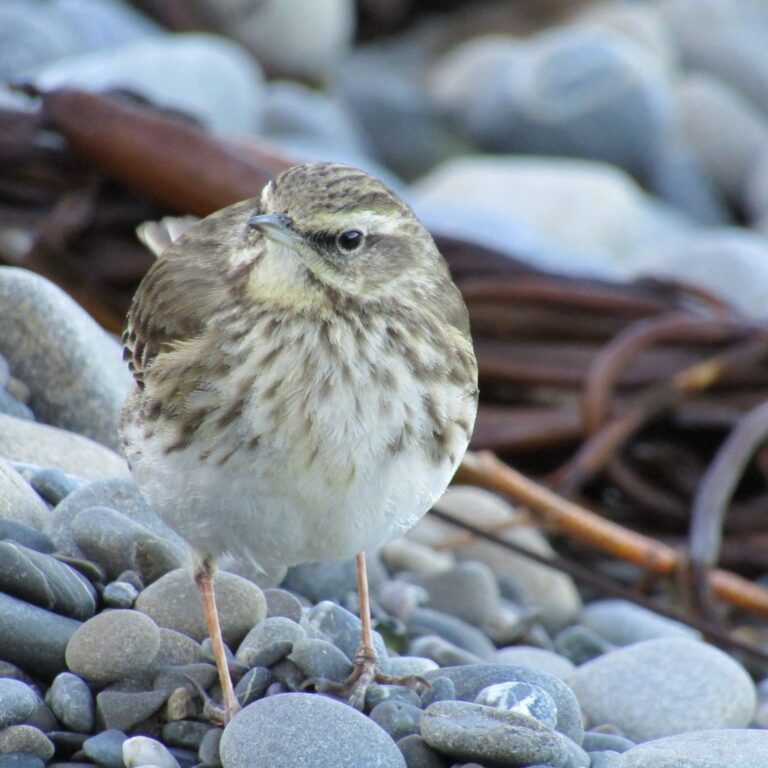
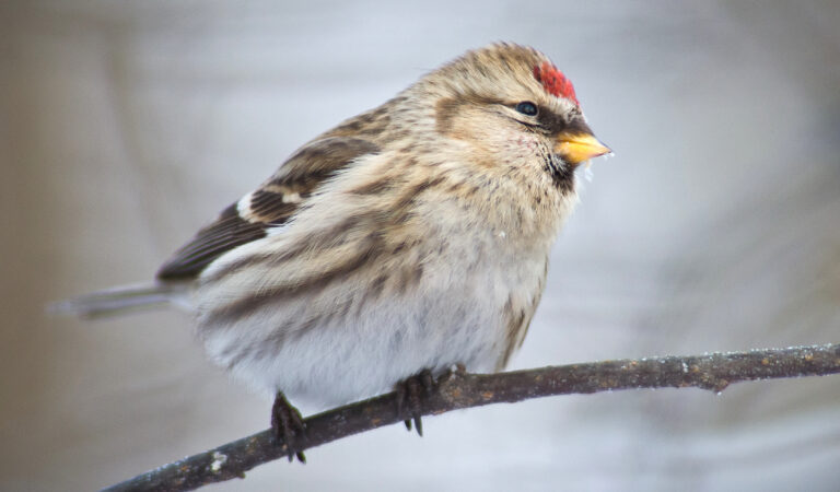
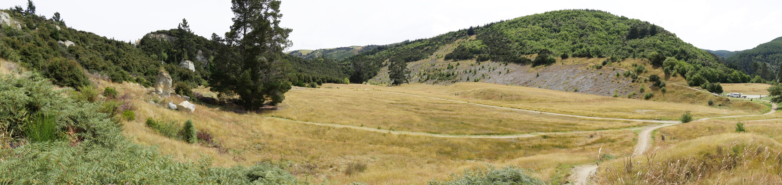
High above the Taieri plains, where tussock-covered ridges roll toward the Rock and Pillar Range, a quiet upland world of cushion bogs and snow-tussock grassland opens across the horizon. This is a working highland landscape shaped by cold, wet weather and persistent wind rather than by any dry season, and its wetlands act as a vast natural sponge, releasing water slowly into the streams below. The vegetation tells the story: golden tussock, rust-red cushion plants, flax and patches of montane shrub, threaded by dark peaty pools and slow seepages. Wildlife here is defined by habitat rather than spectacle — secretive wetland birds and waterfowl around the bogs, raptors quartering the open tops, hardy passerines in the shrub and tussock margins, and small introduced and native mammals moving through the cover at dusk. It is a place to read the land slowly.
For photographers and birdwatchers, the appeal lies in that restraint and in the light. Early mornings bring long shadows across the tussock and mist lying in the hollows; late afternoon turns the grassland amber and picks out the textures of cushion plants and peat. Spring and summer are the productive months for nesting wetland birds and for the flush of alpine flowers, while autumn and winter offer cleaner air, snow-dusted ridges and a starker, more graphic landscape. Access is by upland tracks and farm roads, so visitors should expect rough going, sudden weather changes and a need to respect working farmland and fragile bogs. Bring binoculars for scanning the open tops and a long lens for the shy birds of the wetlands — and give the place the patience it rewards.