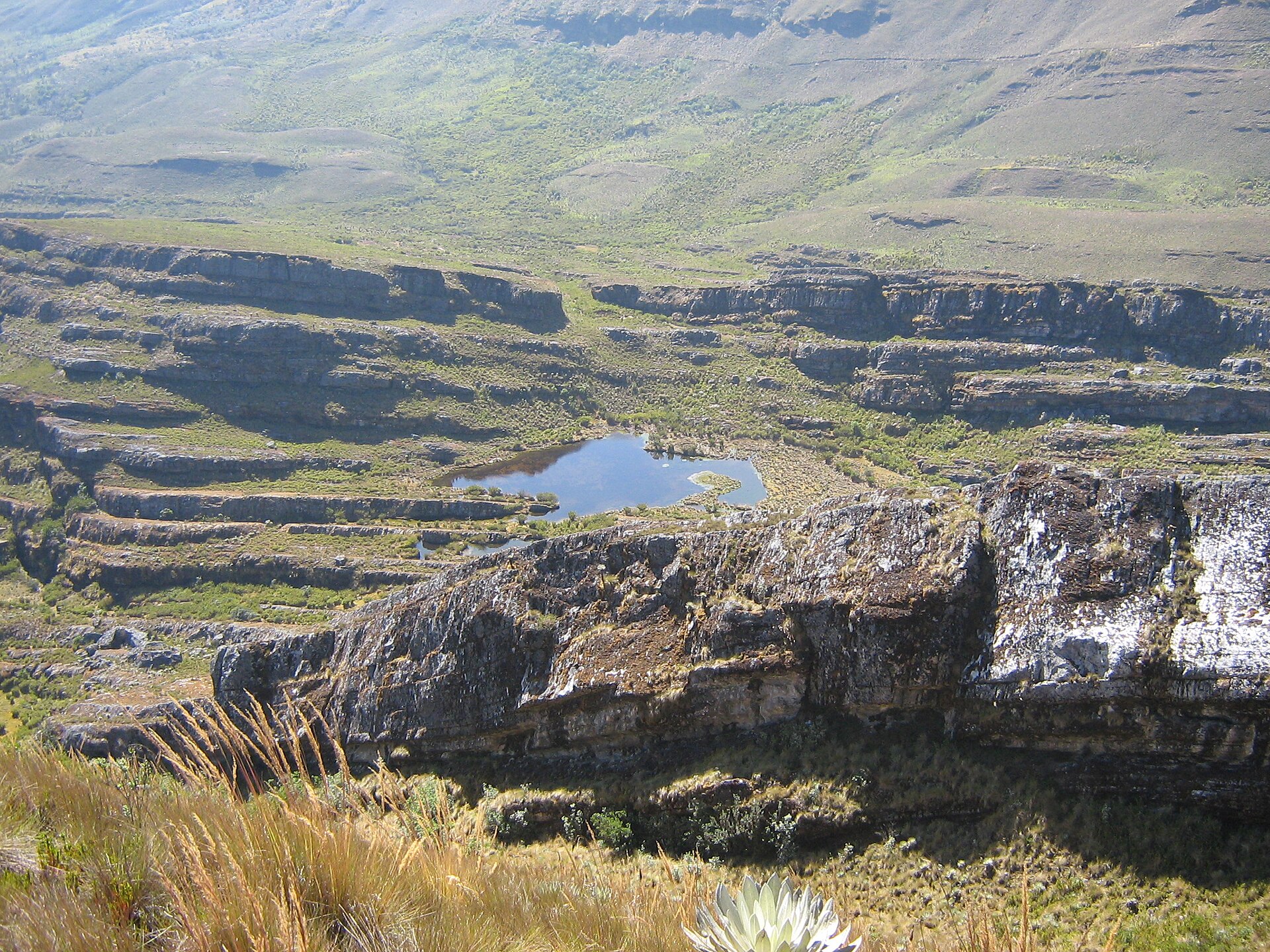
Average annual temperature
11.7 °C
Average of the twelve monthly means
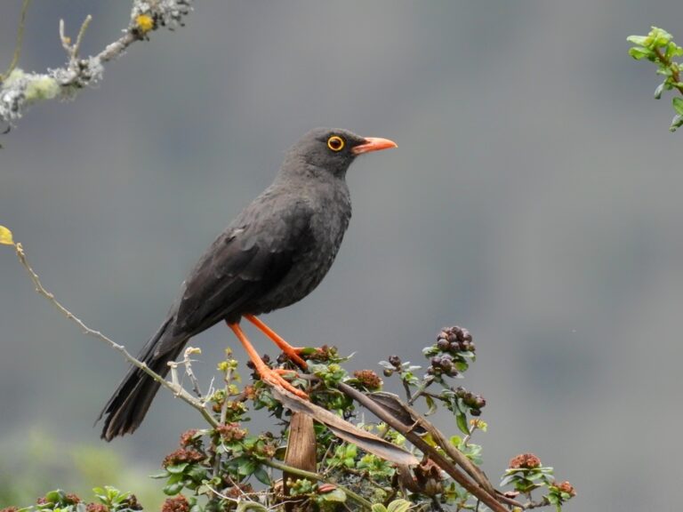
Turdus fuscater
♥
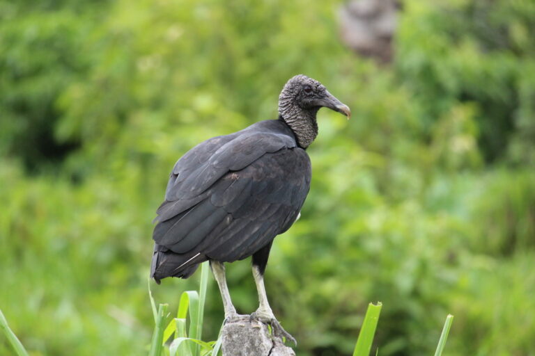
Coragyps atratus
♥
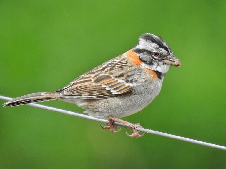
Zonotrichia capensis
♥
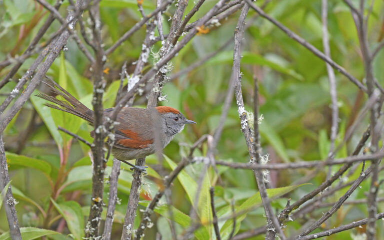
Synallaxis subpudica
♥
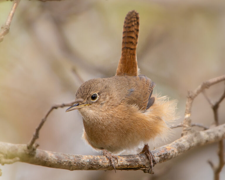
Troglodytes musculus
♥
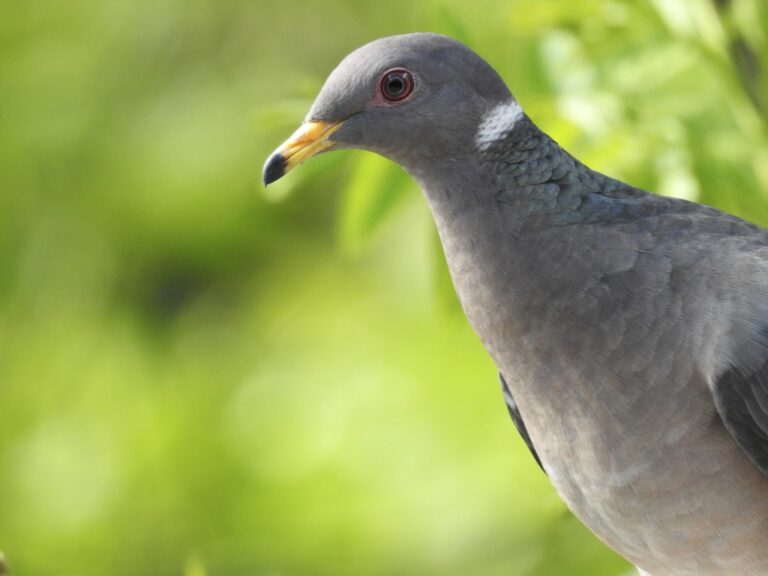
Patagioenas fasciata
♥
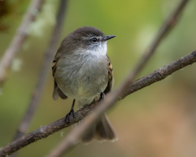
Mecocerculus leucophrys
♥
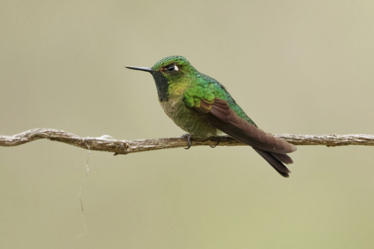
Metallura tyrianthina
♥
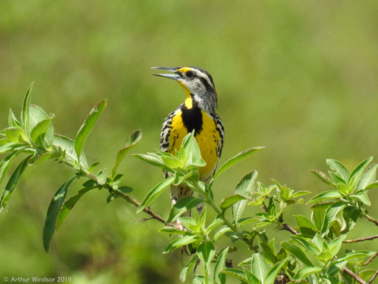
Sturnella magna
♥
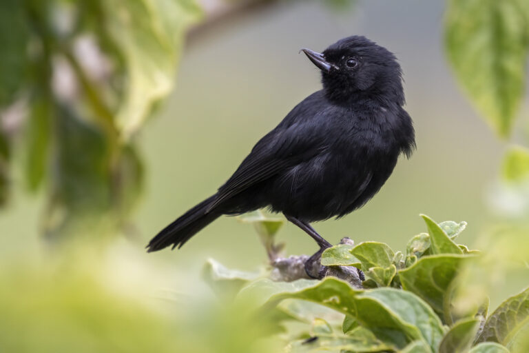
Diglossa humeralis
♥
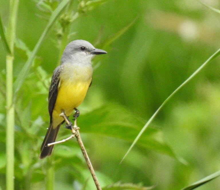
Tyrannus melancholicus
♥
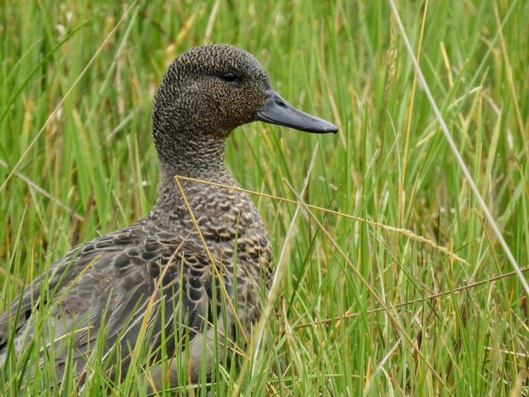
Anas andium
♥
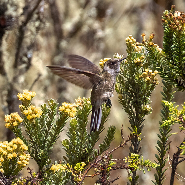
Oxypogon guerinii
♥
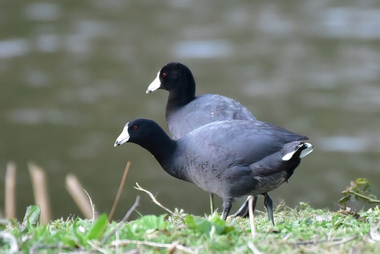
Fulica americana
♥
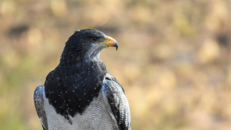
Geranoaetus melanoleucus
♥
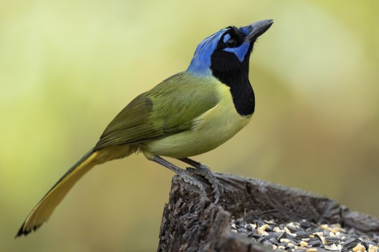
Cyanocorax yncas
♥
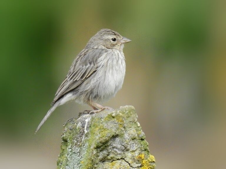
Geospizopsis unicolor
♥
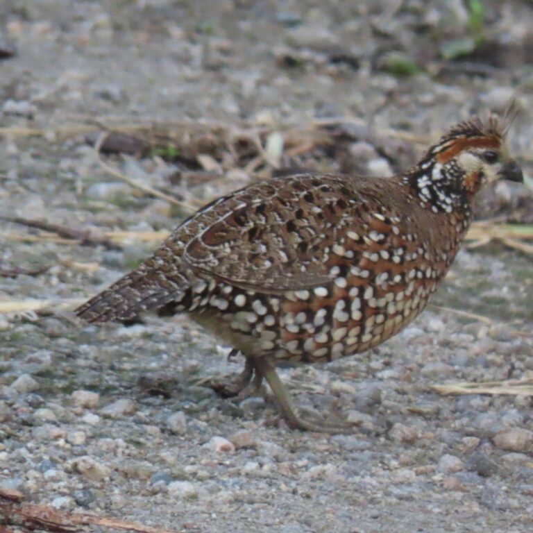
Colinus cristatus
♥
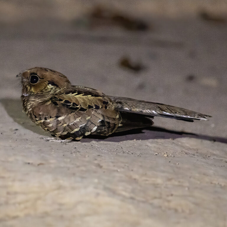
Nyctidromus albicollis
♥
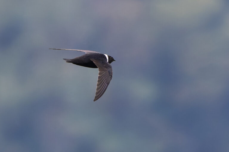
Streptoprocne zonaris
♥
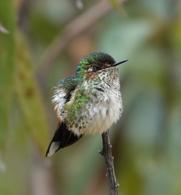
Ramphomicron microrhynchum
♥
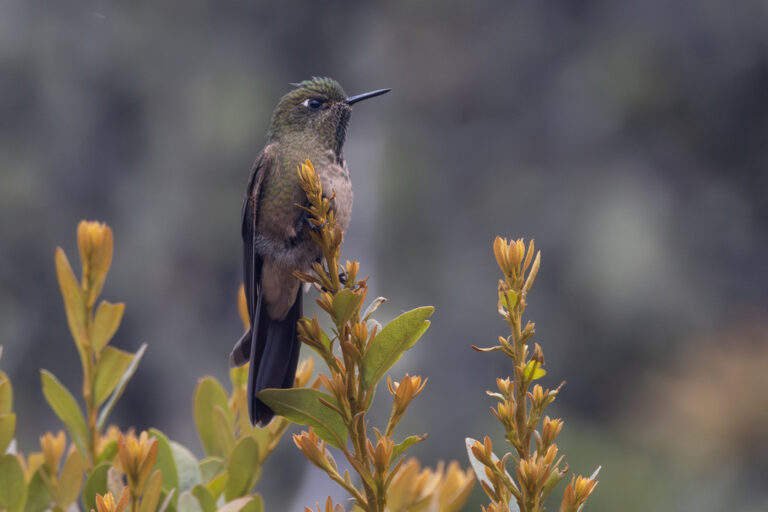
Chalcostigma heteropogon
♥
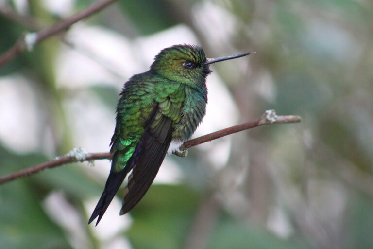
Eriocnemis vestita
♥
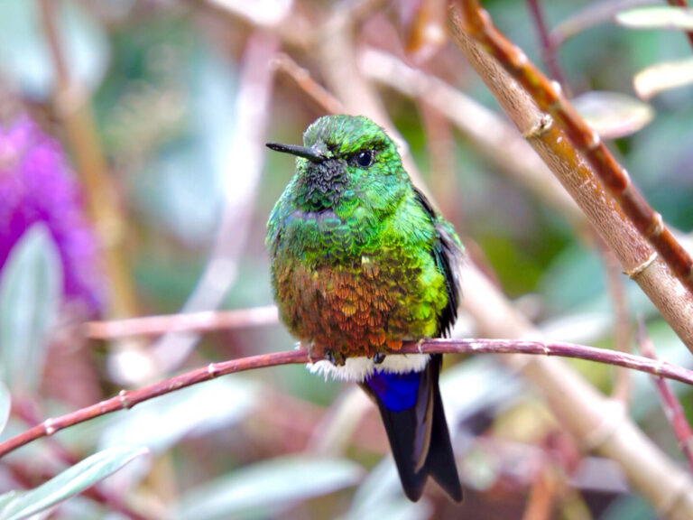
Eriocnemis cupreoventris
♥
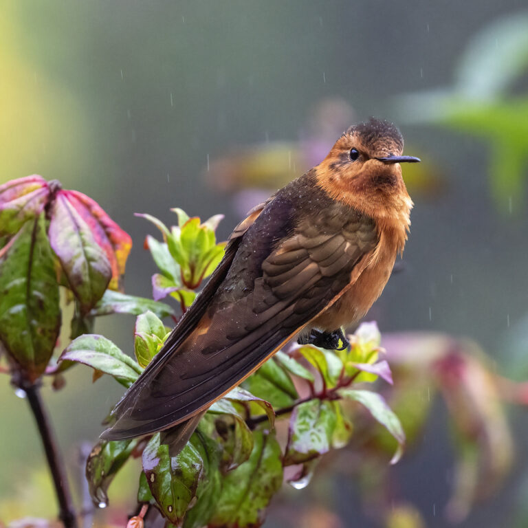
Aglaeactis cupripennis
♥
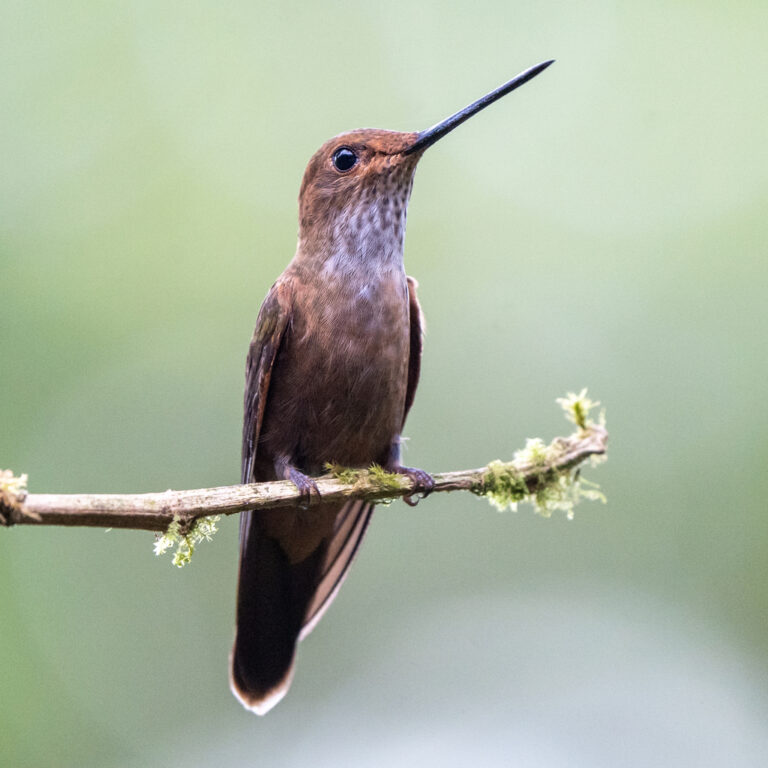
Coeligena coeligena
♥
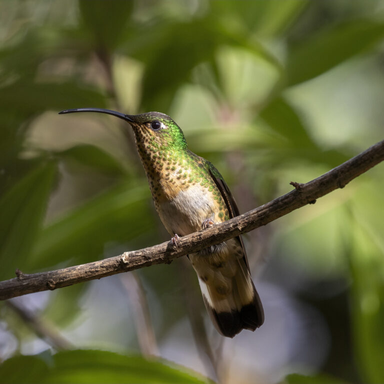
Lafresnaya lafresnayi
♥
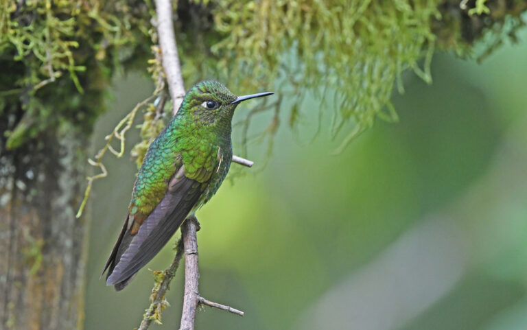
Boissonneaua flavescens
♥
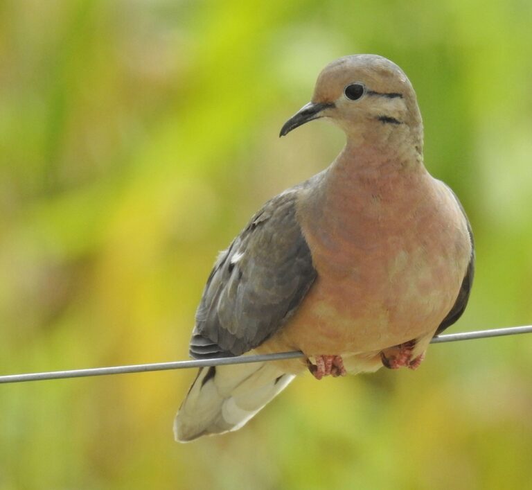
Zenaida auriculata
♥
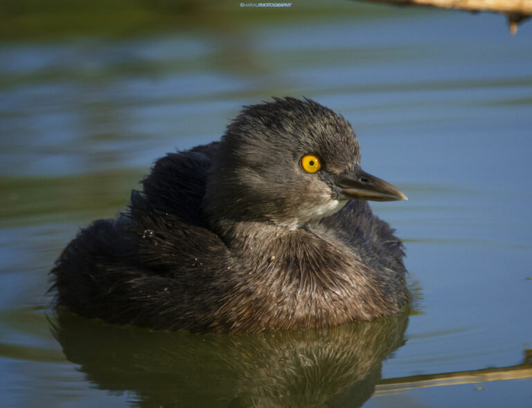
Tachybaptus dominicus
♥
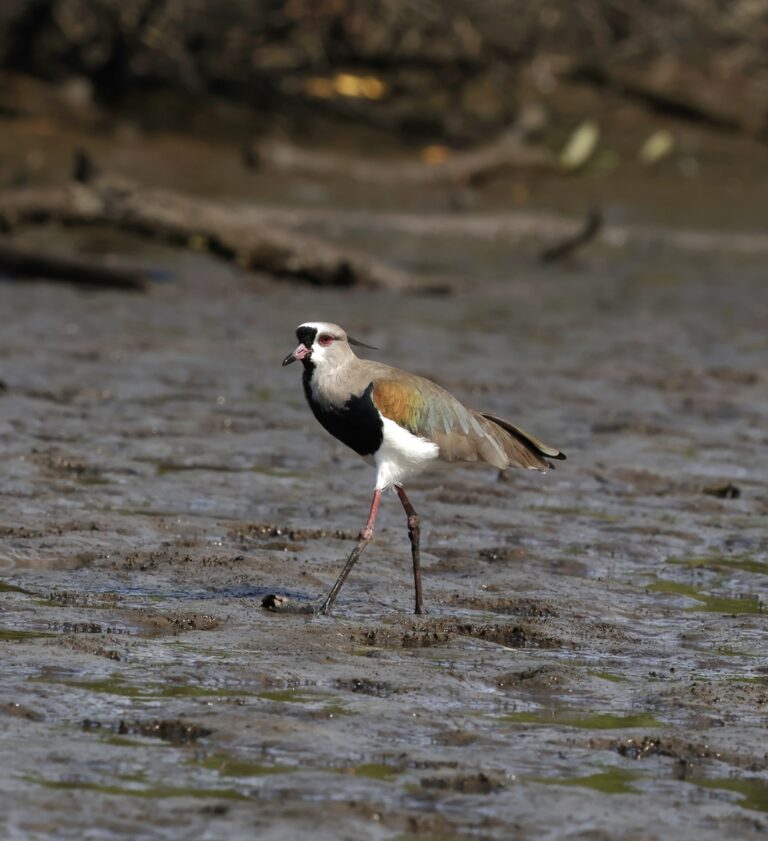
Vanellus chilensis
♥
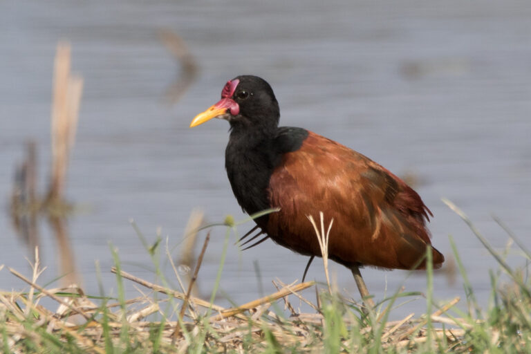
Jacana jacana
♥
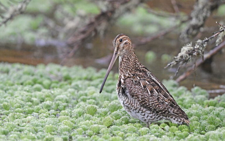
Gallinago nobilis
♥
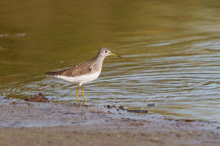
Tringa solitaria
♥
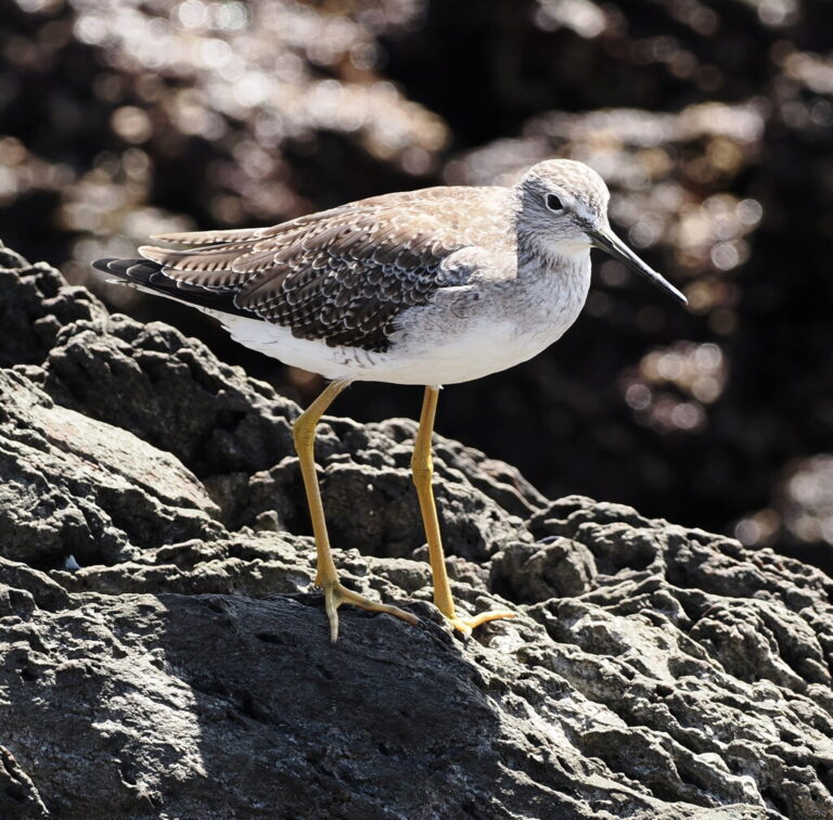
Tringa melanoleuca
♥
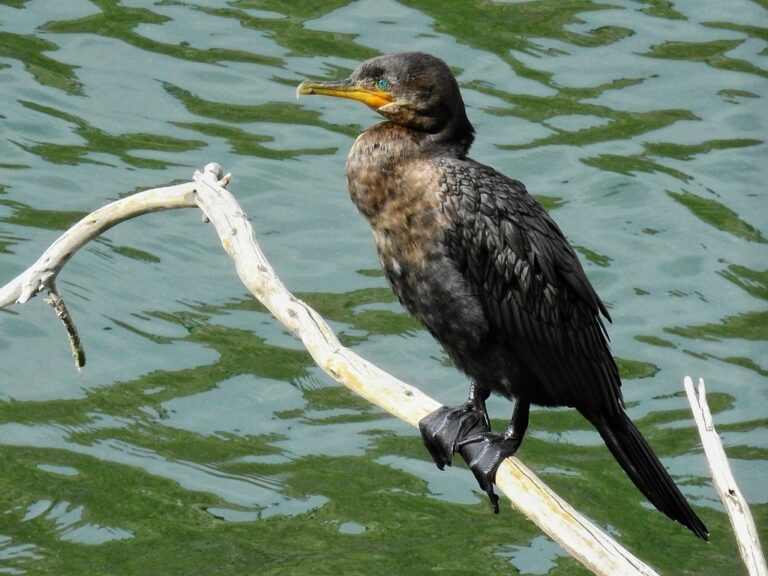
Nannopterum brasilianum
♥
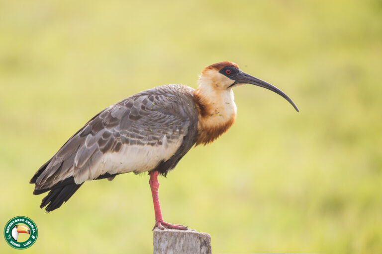
Theristicus caudatus
♥
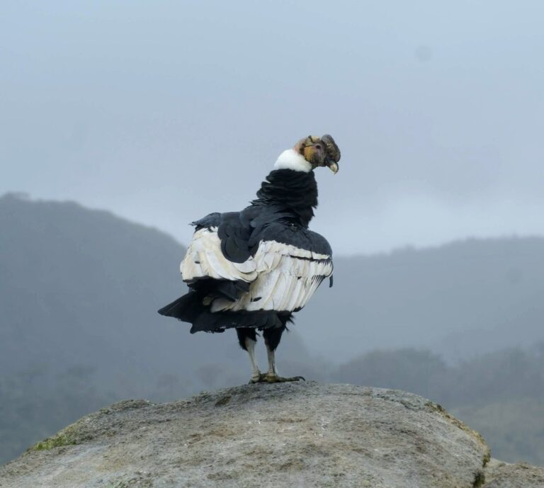
Vultur gryphus
♥
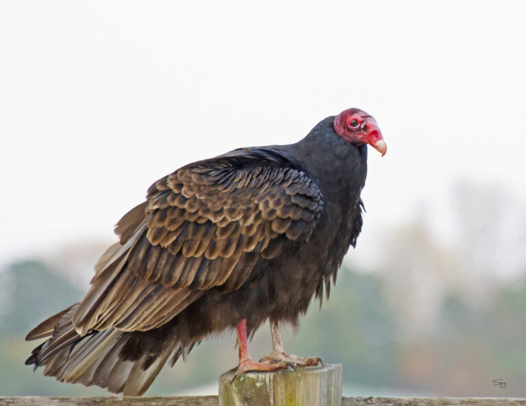
Cathartes aura
♥
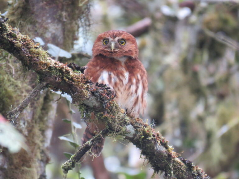
Glaucidium jardinii
♥

Colaptes rivolii
♥
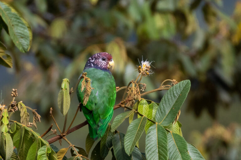
Pionus tumultuosus
♥
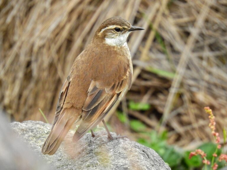
Cinclodes albidiventris
♥
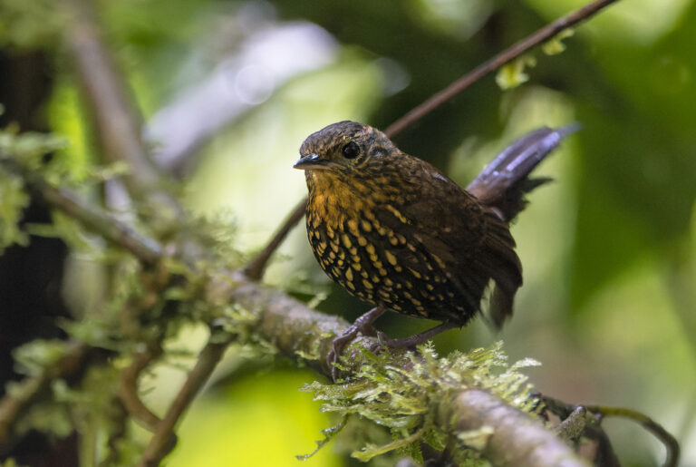
Premnoplex brunnescens
♥
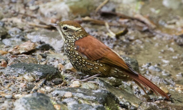
Margarornis squamiger
♥
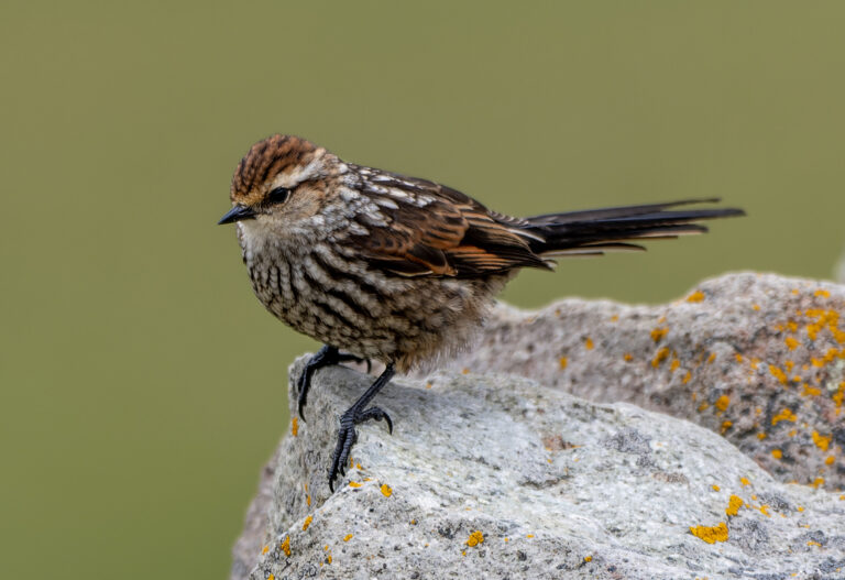
Leptasthenura andicola
♥
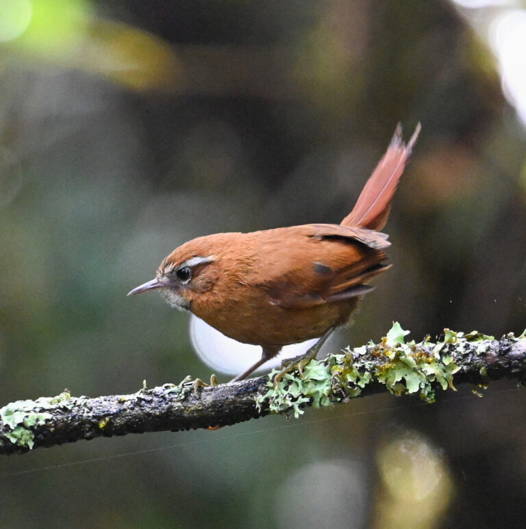
Hellmayrea gularis
♥
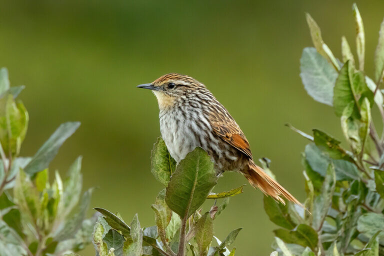
Asthenes flammulata
♥
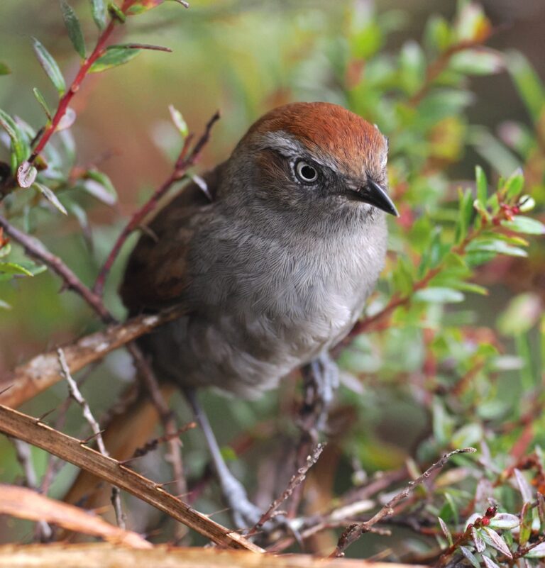
Asthenes fuliginosa
♥
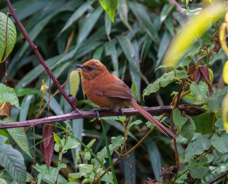
Synallaxis unirufa
♥
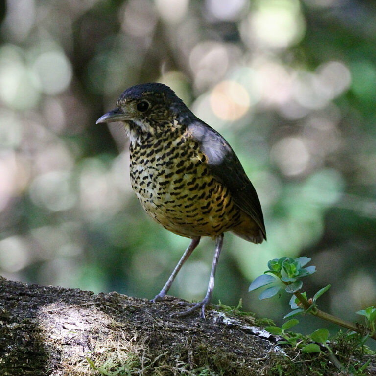
Grallaria squamigera
♥
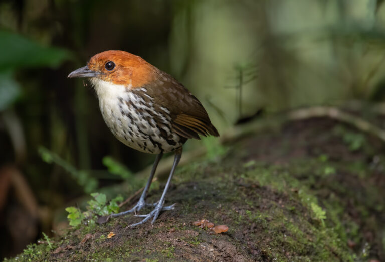
Grallaria ruficapilla
♥
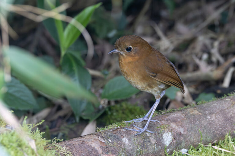
Grallaria rufula
♥
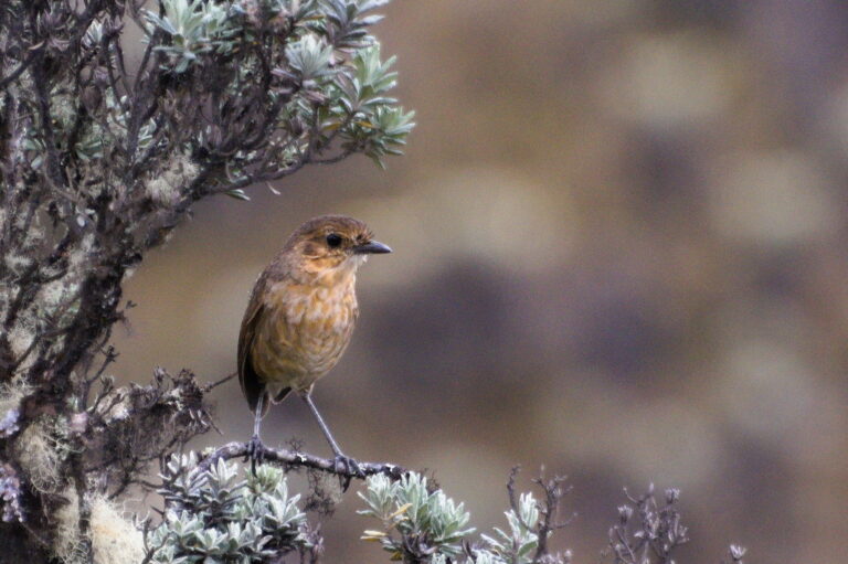
Grallaria alticola
♥
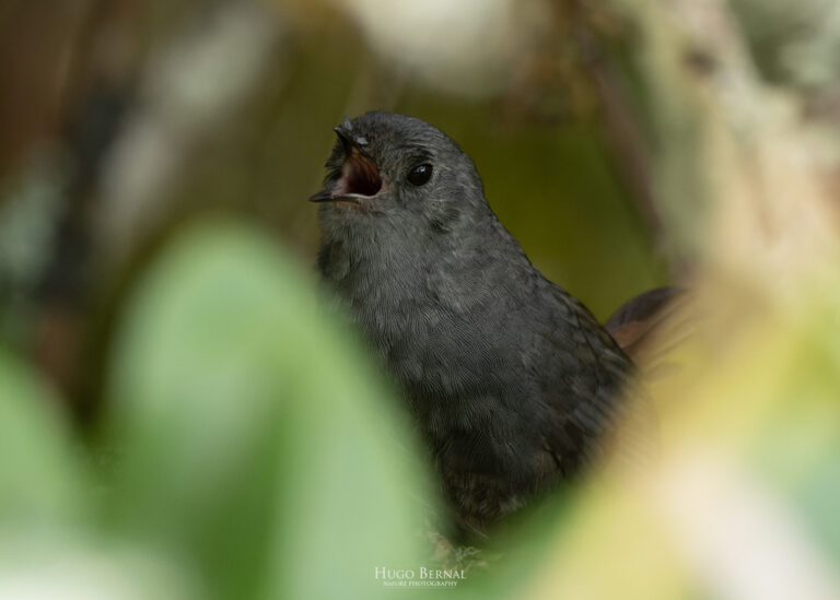
Scytalopus griseicollis
♥
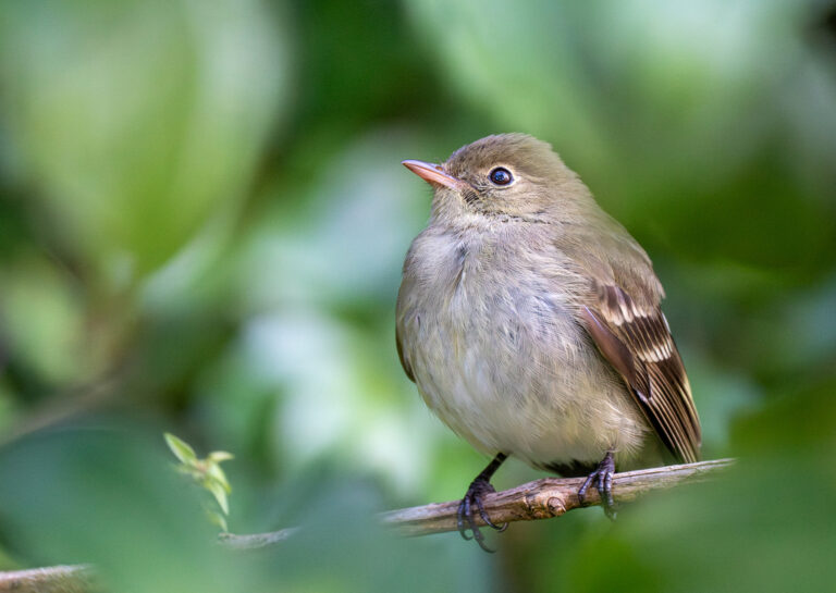
Elaenia frantzii
♥
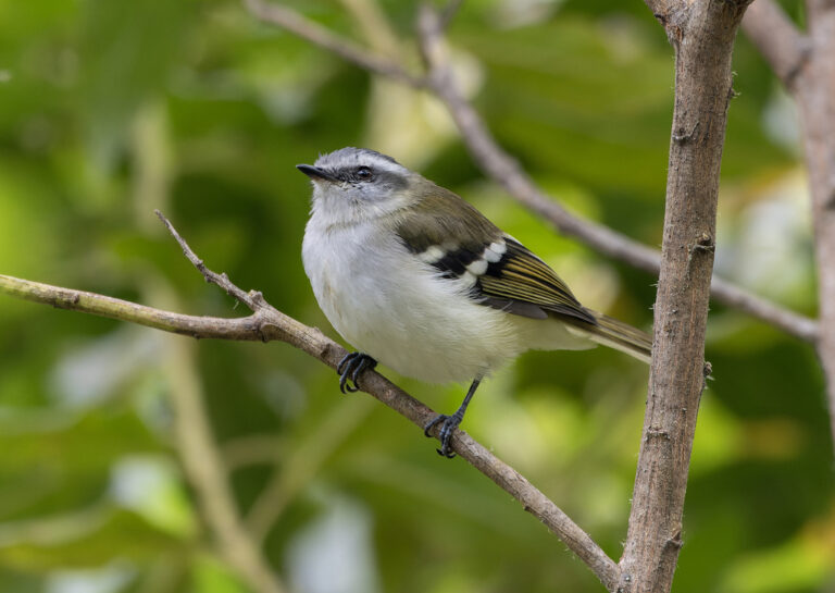
Mecocerculus stictopterus
♥
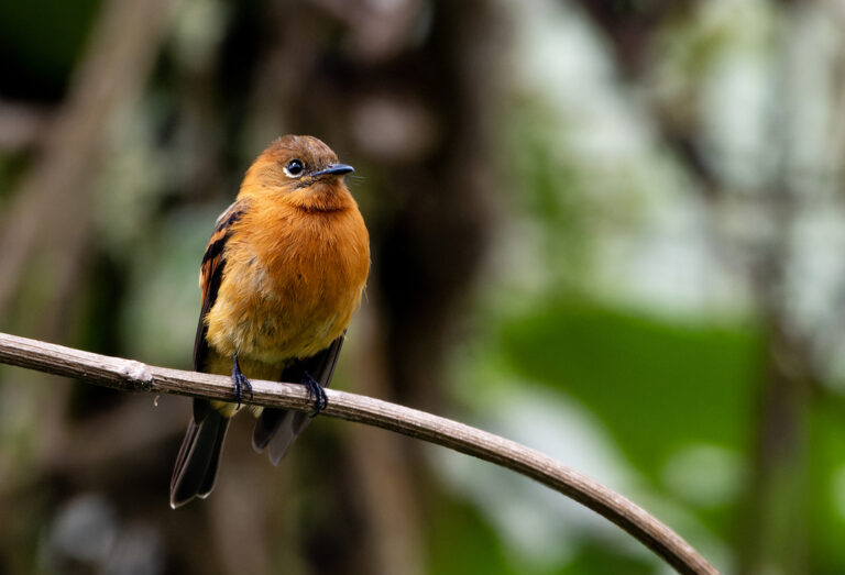
Pyrrhomyias cinnamomeus
♥
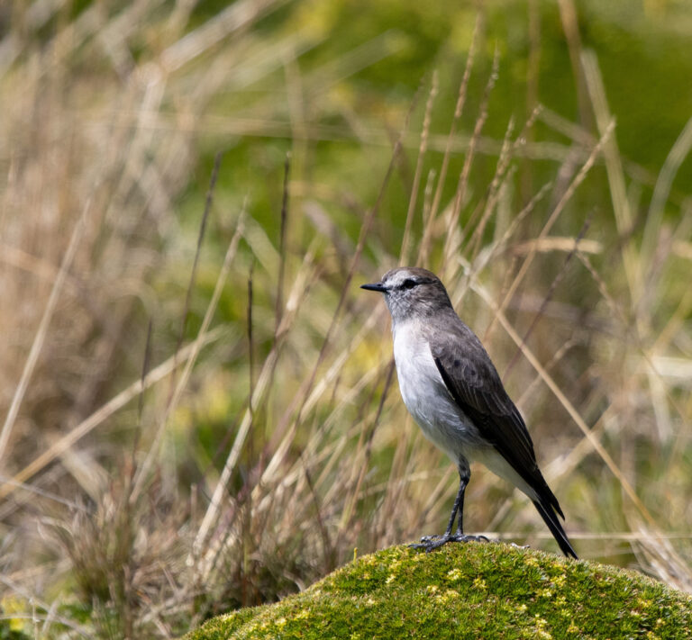
Muscisaxicola alpinus
♥
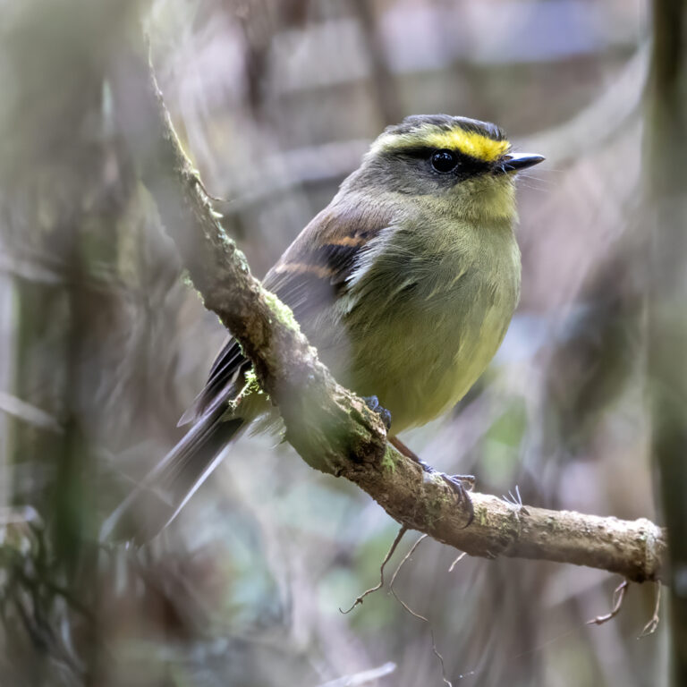
Silvicultrix diadema
♥
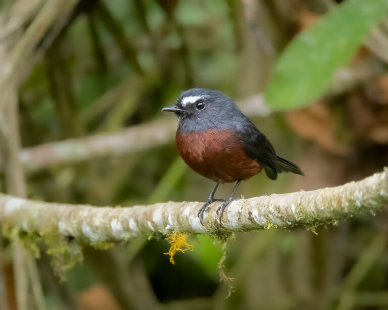
Ochthoeca cinnamomeiventris
♥
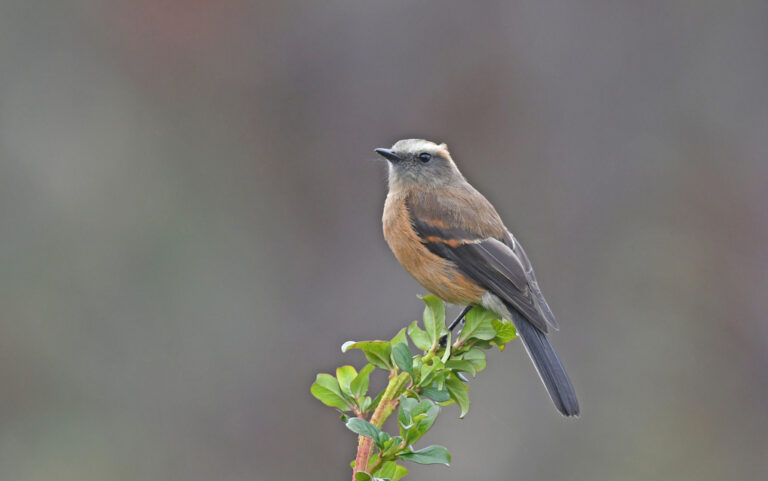
Ochthoeca fumicolor
♥
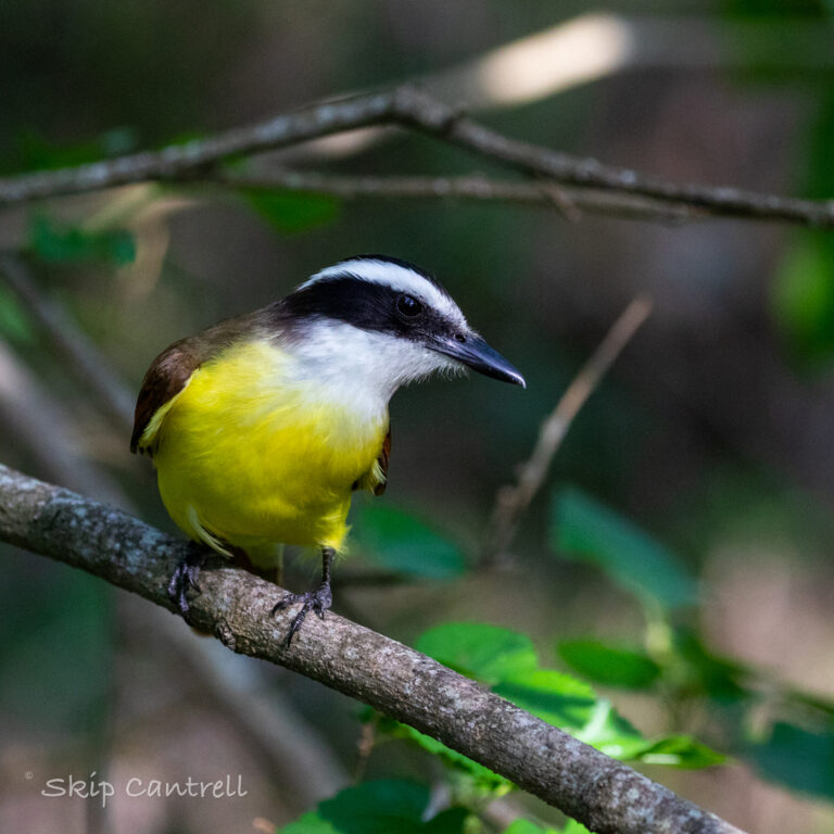
Pitangus sulphuratus
♥
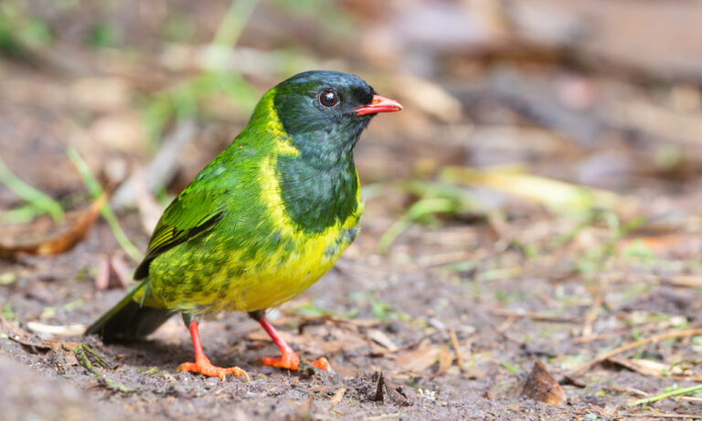
Pipreola riefferii
♥
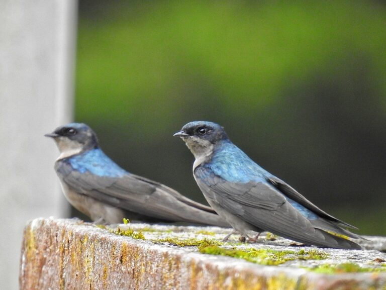
Orochelidon murina
♥
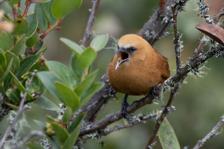
Cinnycerthia unirufa
♥
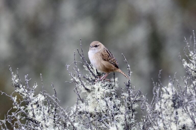
Cistothorus apolinari
♥
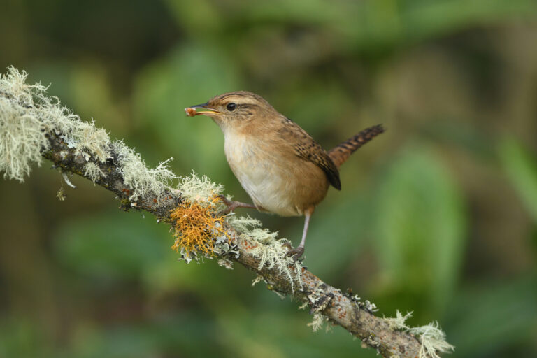
Cistothorus platensis
♥

Henicorhina leucophrys
♥
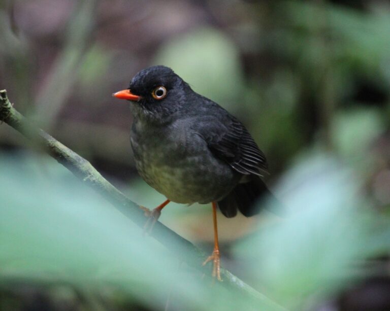
Catharus fuscater
♥
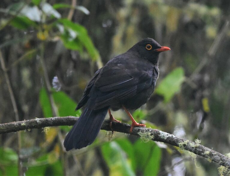
Turdus serranus
♥
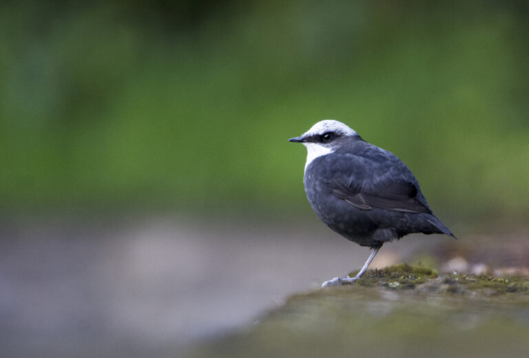
Cinclus leucocephalus
♥
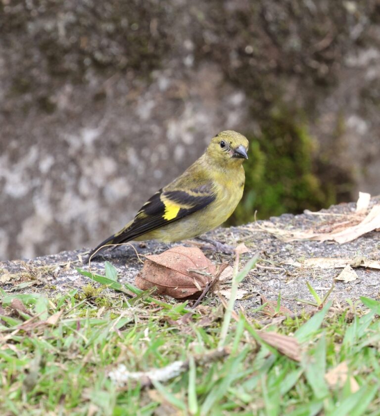
Spinus spinescens
♥
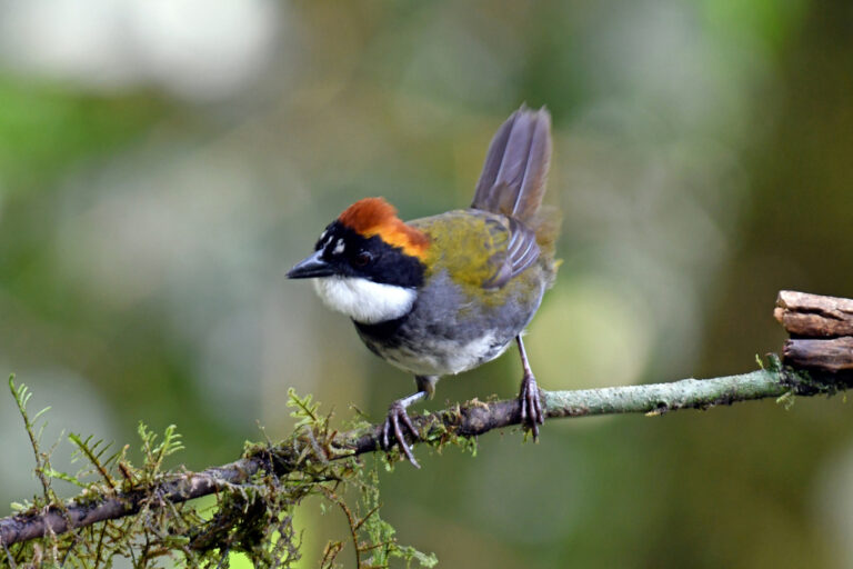
Arremon brunneinucha
♥
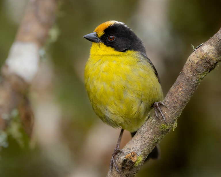
Atlapetes pallidinucha
♥
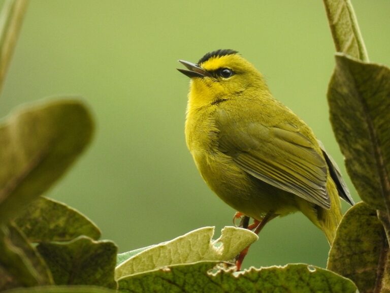
Myiothlypis nigrocristata
♥
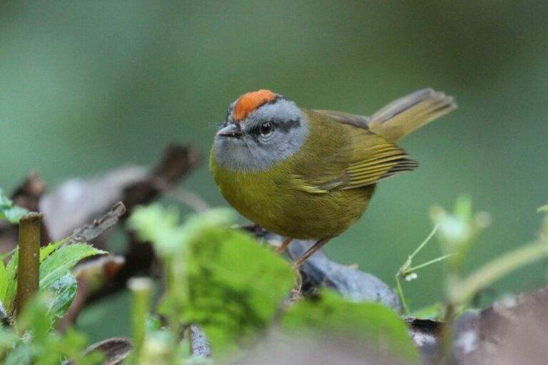
Myiothlypis coronata
♥
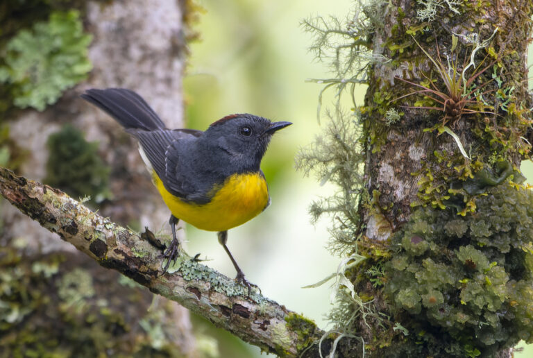
Myioborus miniatus
♥
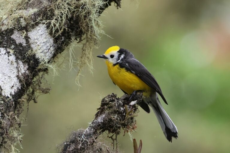
Myioborus ornatus
♥
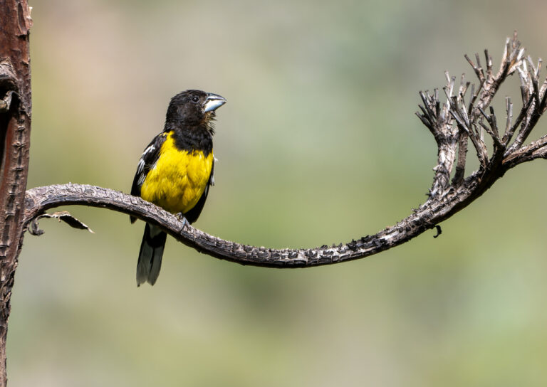
Pheucticus aureoventris
♥
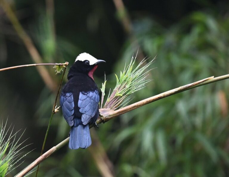
Sericossypha albocristata
♥
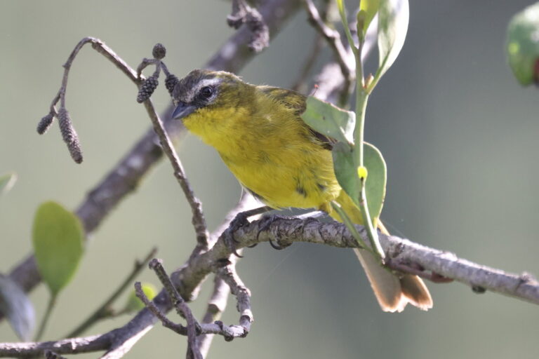
Thlypopsis superciliaris
♥
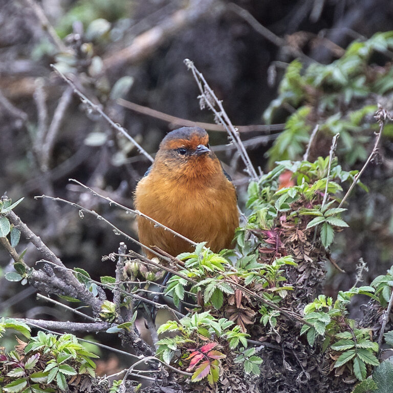
Conirostrum rufum
♥
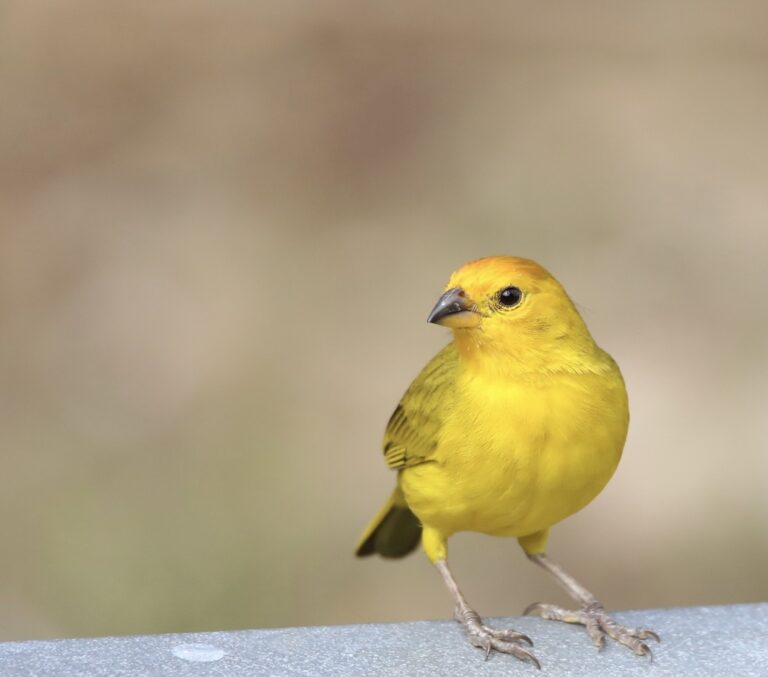
Sicalis flaveola
♥
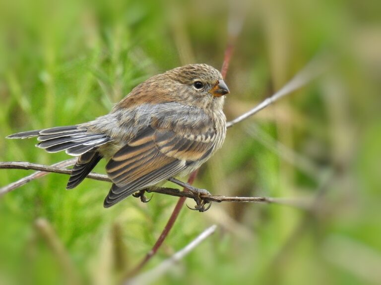
Catamenia analis
♥
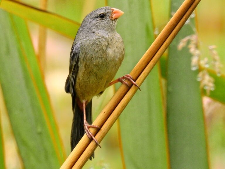
Catamenia inornata
♥
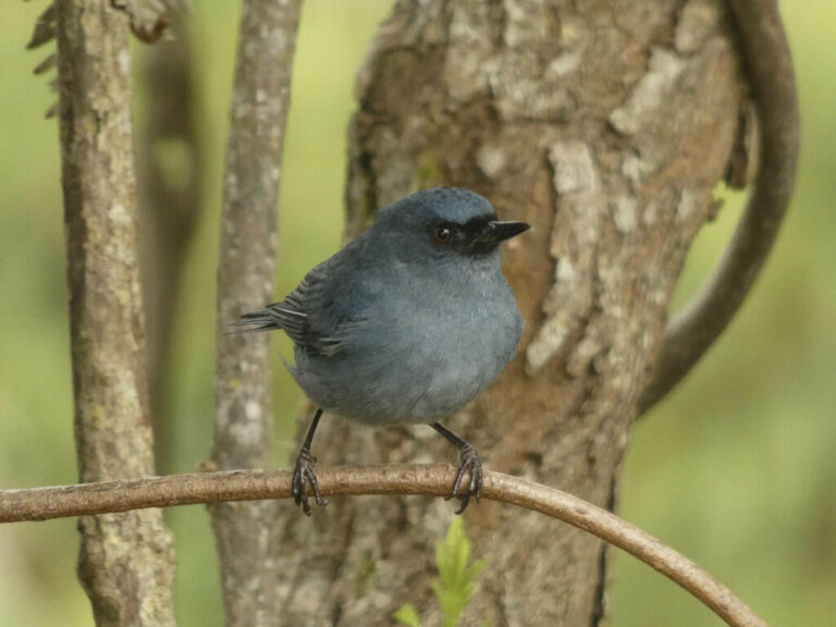
Diglossa caerulescens
♥
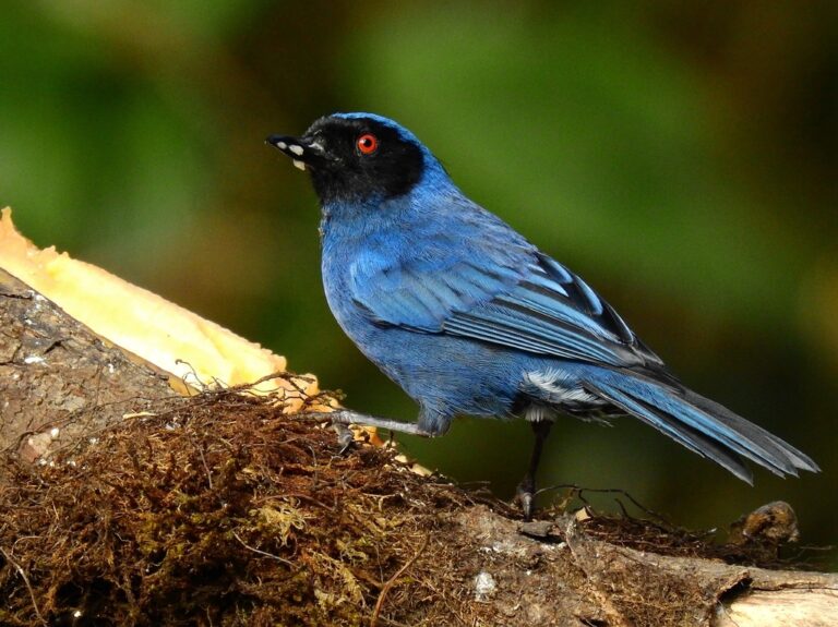
Diglossa cyanea
♥
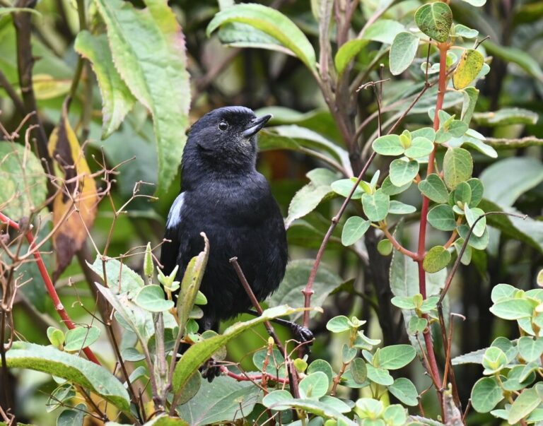
Diglossa lafresnayii
♥
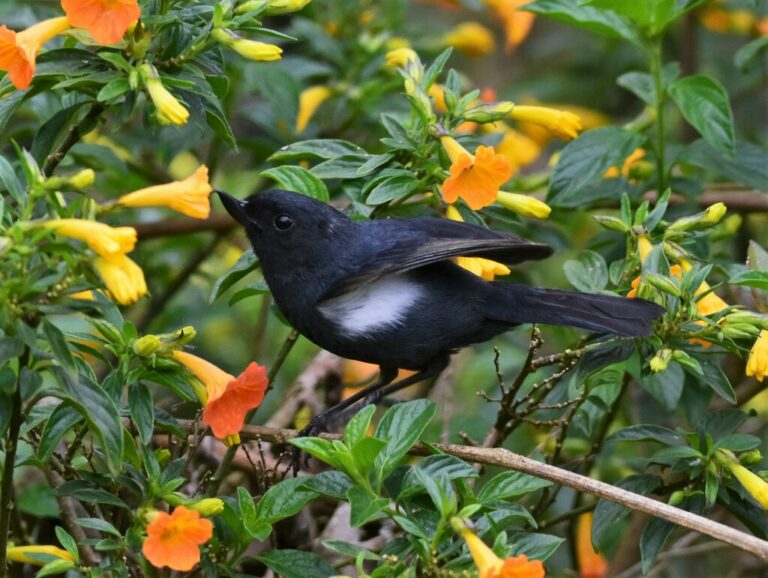
Diglossa albilatera
♥
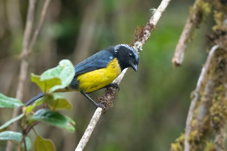
Dubusia taeniata
♥
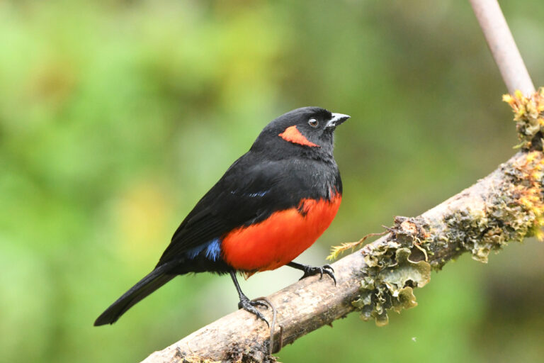
Anisognathus igniventris
♥
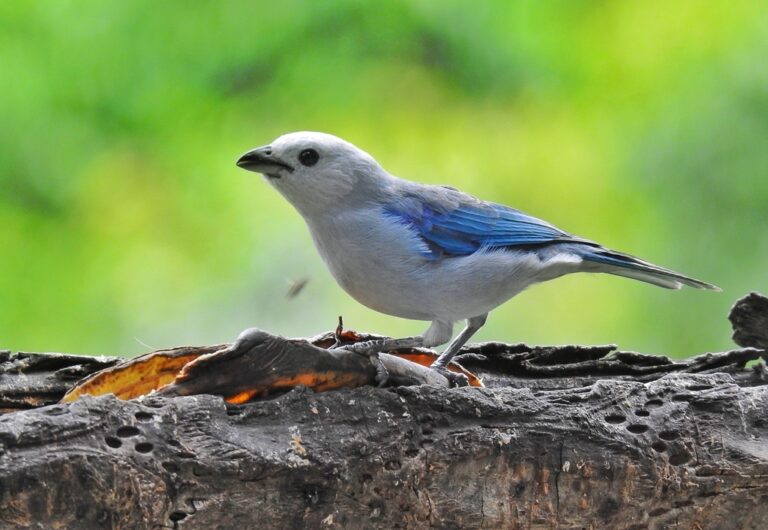
Thraupis episcopus
♥
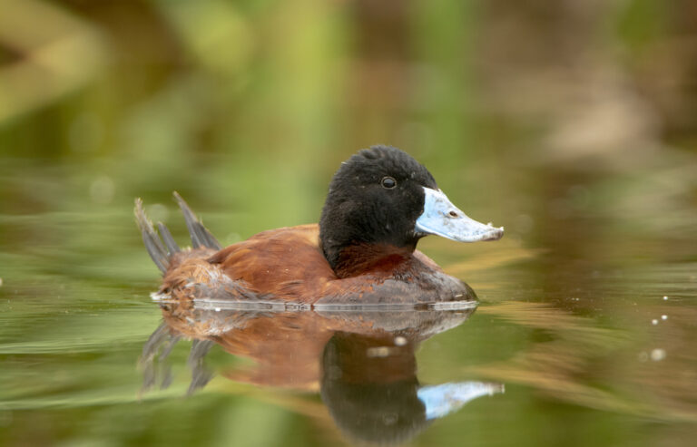
Oxyura ferruginea
♥
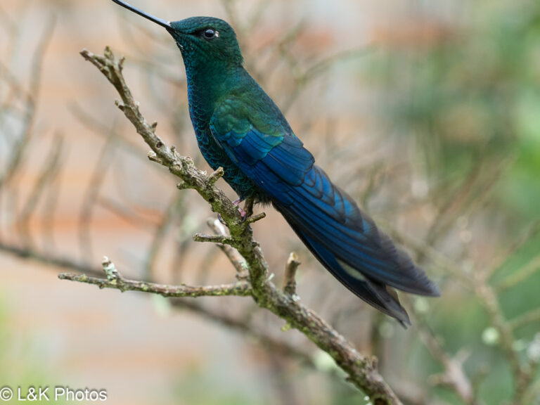
Pterophanes cyanopterus
♥