Average annual temperature
4.4 °C
Average of the twelve monthly means
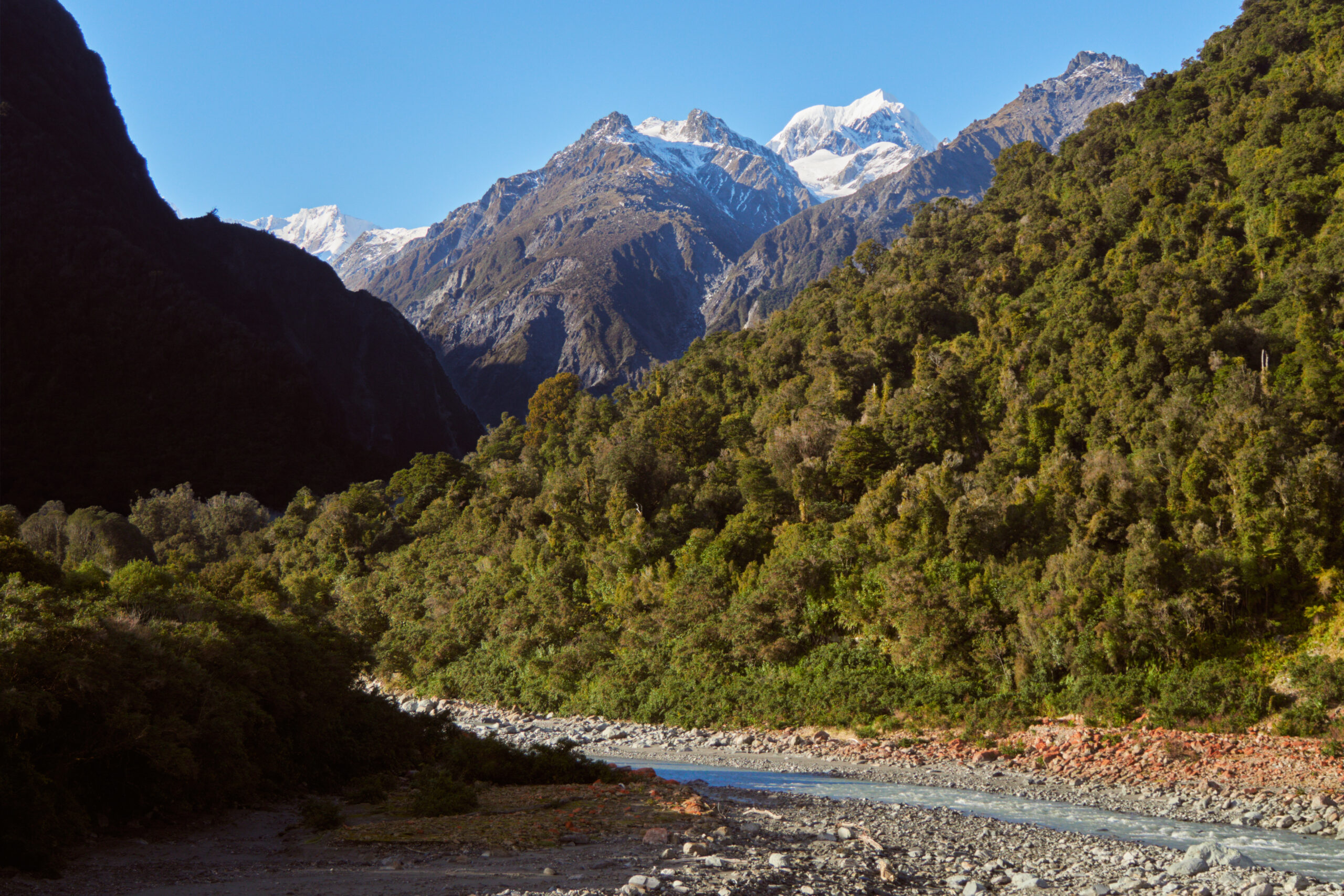
Westland Tai Poutini National Park
Photo © lumoplank
Photo © lumoplank — CC0 1.0 — Source: Wikimedia Commons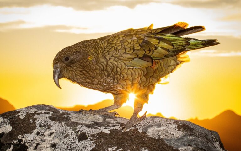
Nestor notabilis
♥
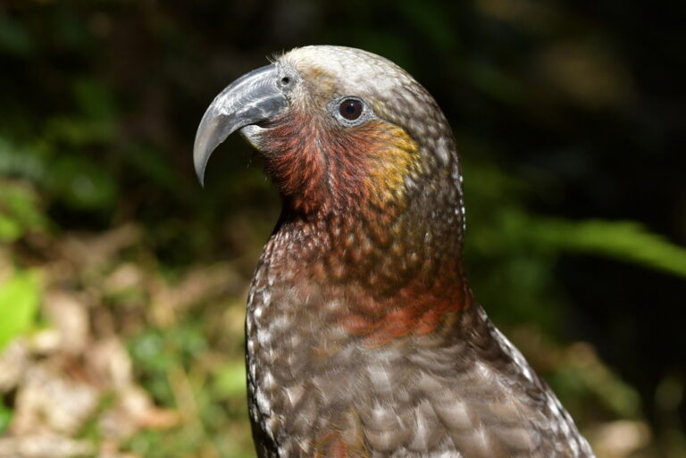
Nestor meridionalis
♥
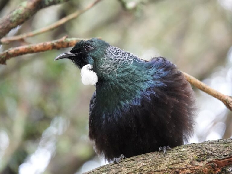
Prosthemadera novaeseelandiae
♥
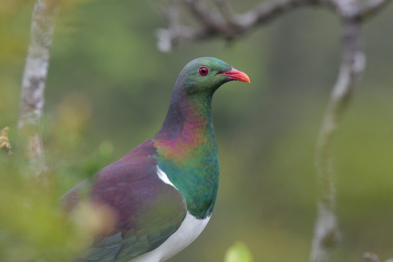
Hemiphaga novaeseelandiae
♥
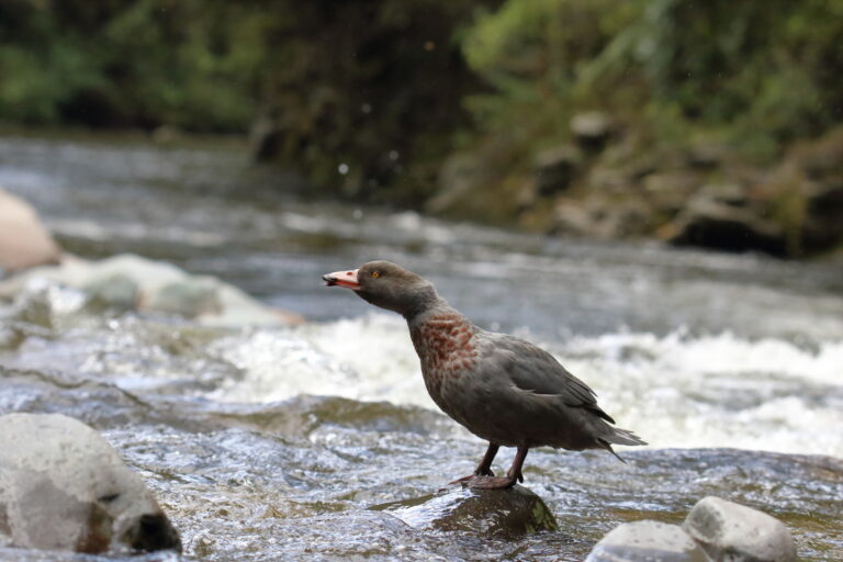
Hymenolaimus malacorhynchos
♥
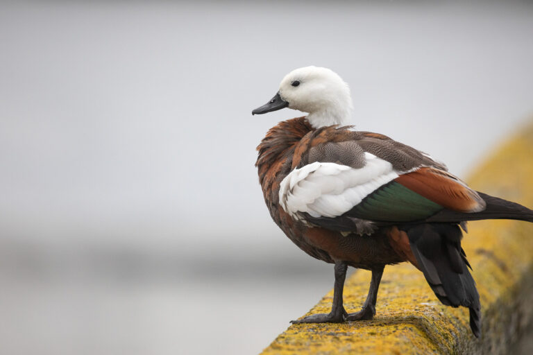
Tadorna variegata
♥
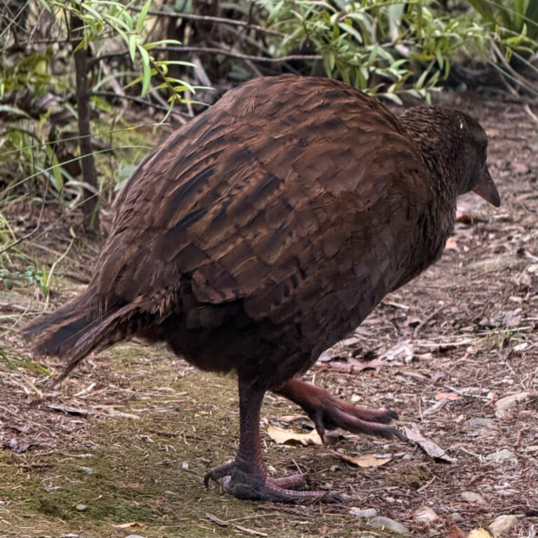
Gallirallus australis
♥
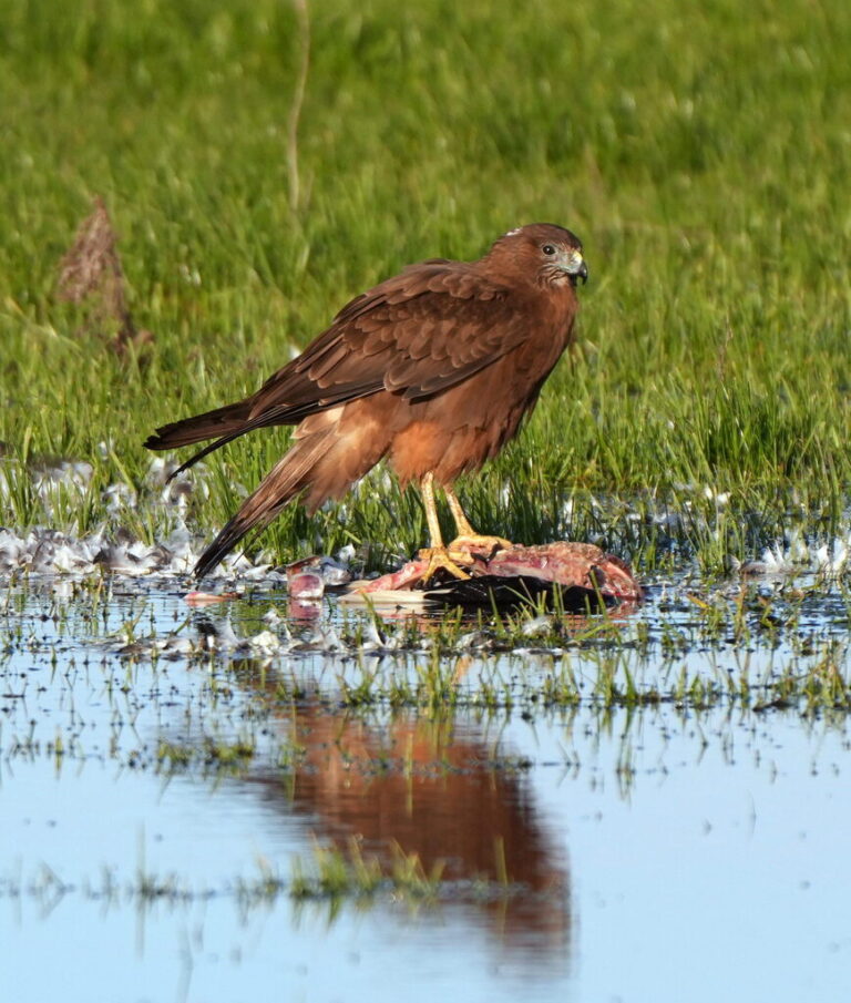
Circus approximans
♥
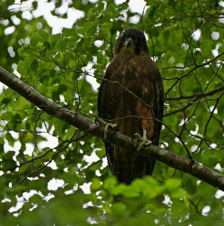
Falco novaeseelandiae
♥
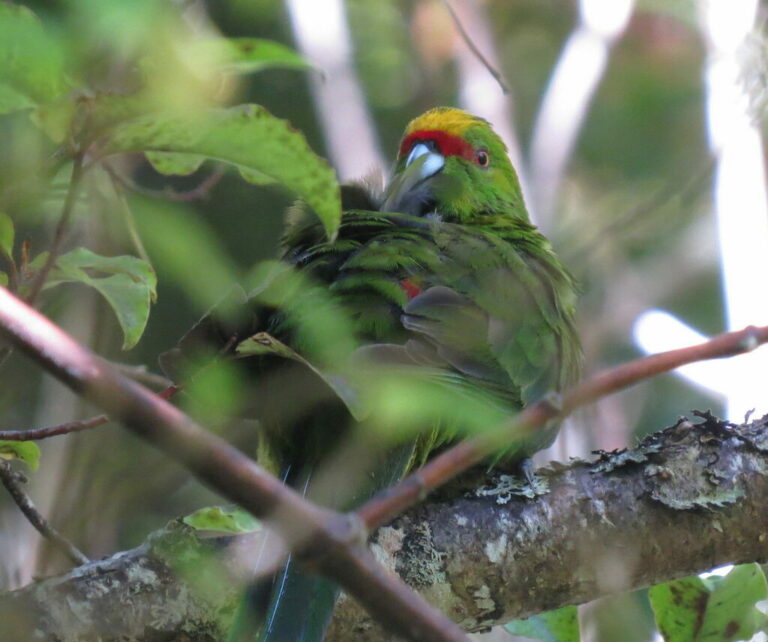
Cyanoramphus auriceps
♥
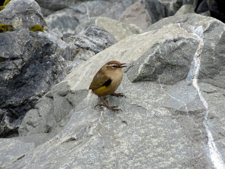
Xenicus gilviventris
♥
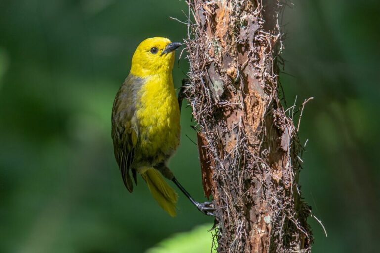
Mohoua ochrocephala
♥
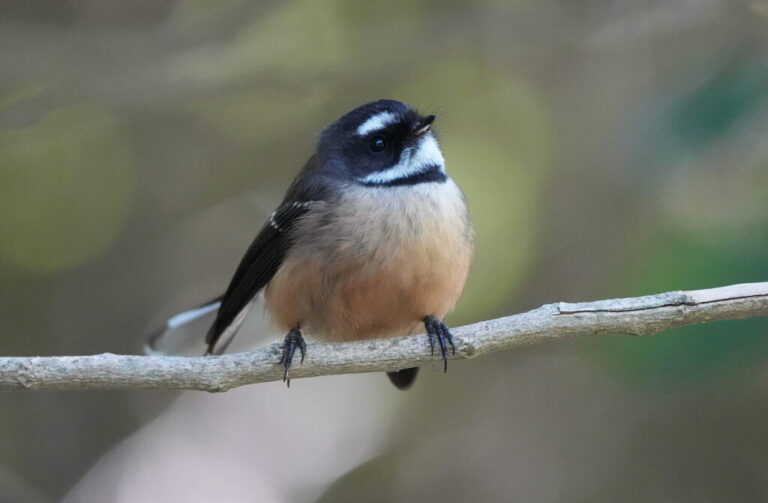
Rhipidura fuliginosa
♥
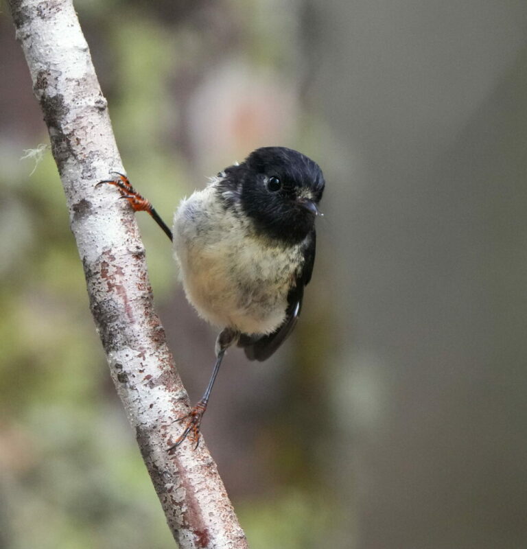
Petroica macrocephala
♥
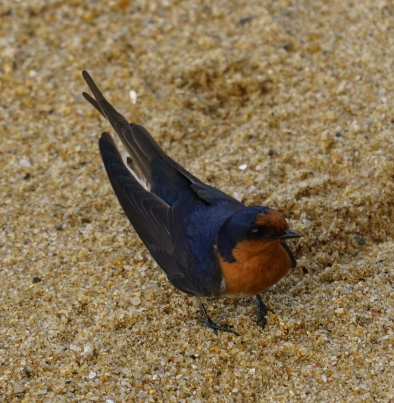
Hirundo neoxena
♥
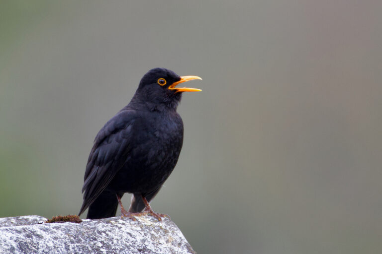
Turdus merula
♥
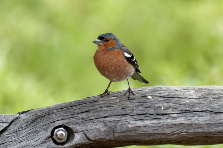
Fringilla coelebs
♥
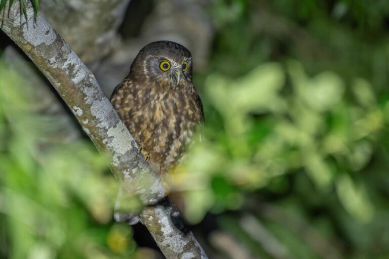
Ninox novaeseelandiae
♥
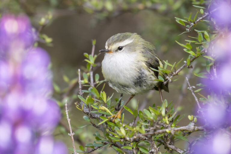
Acanthisitta chloris
♥
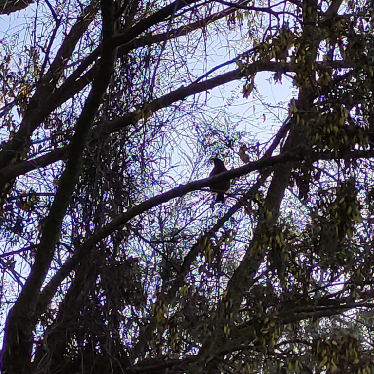
Anthornis melanura
♥
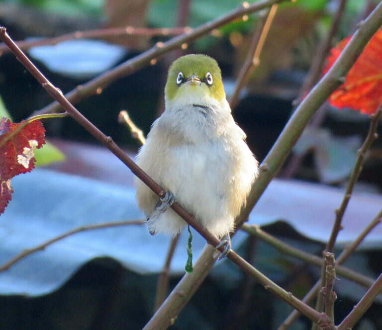
Zosterops lateralis
♥
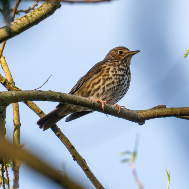
Turdus philomelos
♥
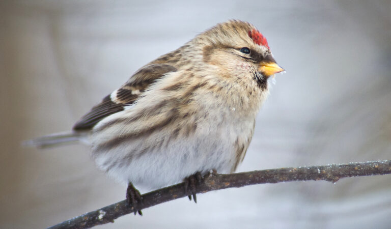
Acanthis flammea
♥
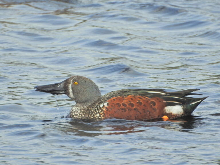
Spatula rhynchotis
♥
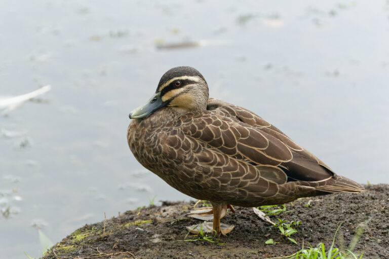
Anas superciliosa
♥
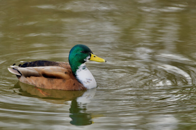
Anas platyrhynchos
♥
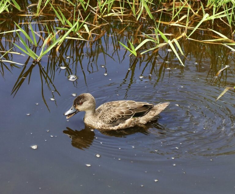
Anas gracilis
♥
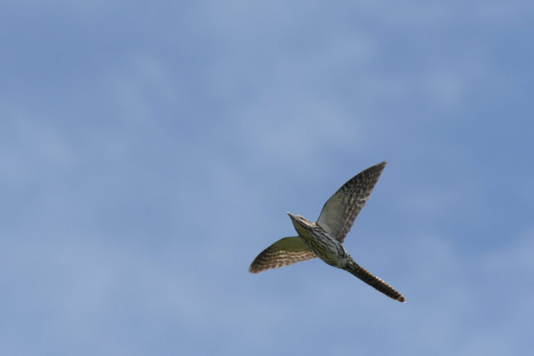
Urodynamis taitensis
♥
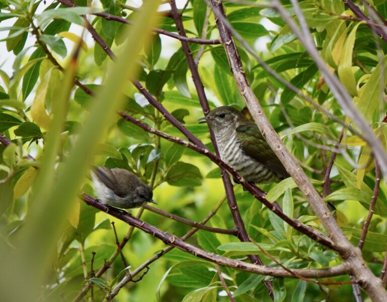
Chalcites lucidus
♥
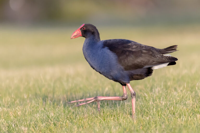
Porphyrio melanotus
♥
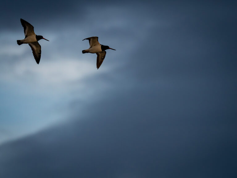
Haematopus finschi
♥
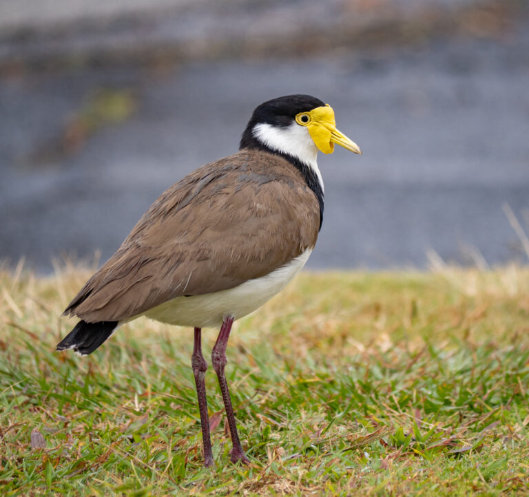
Vanellus miles
♥
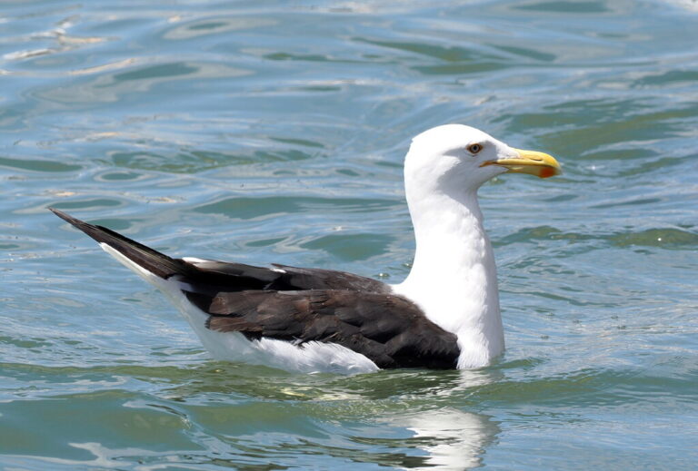
Larus dominicanus
♥
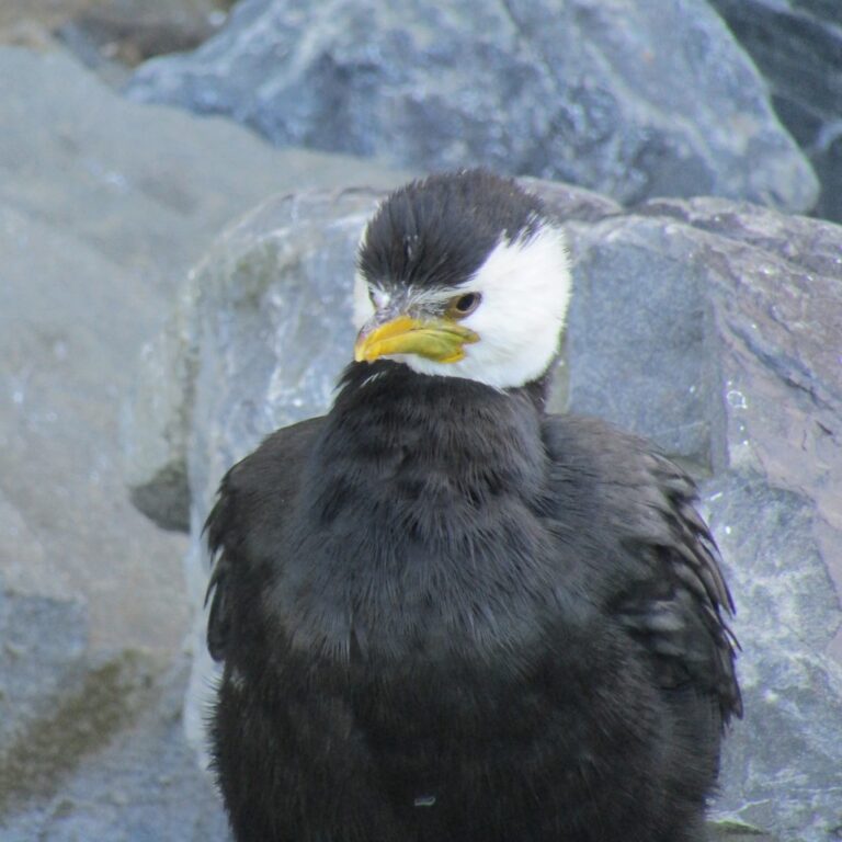
Microcarbo melanoleucos
♥
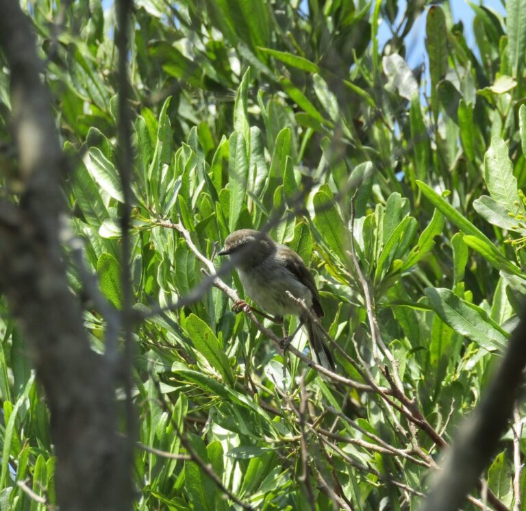
Gerygone igata
♥
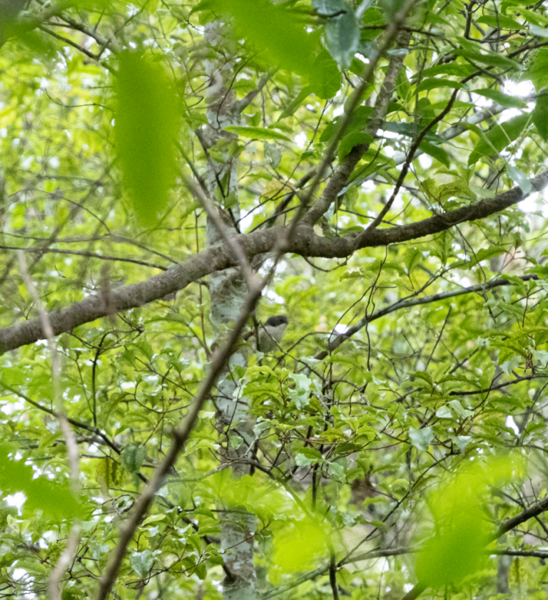
Mohoua novaeseelandiae
♥
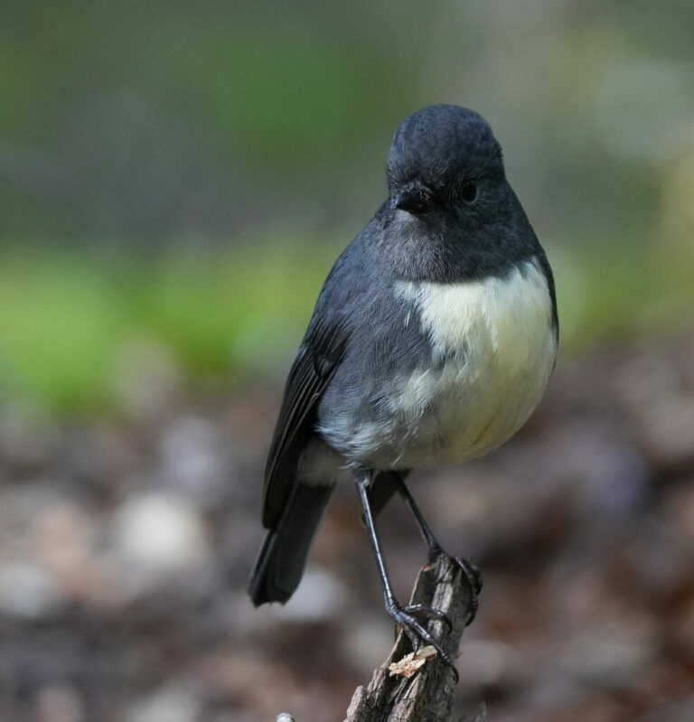
Petroica australis
♥
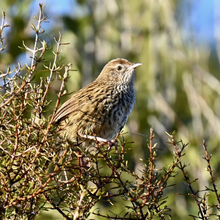
Poodytes punctatus
♥
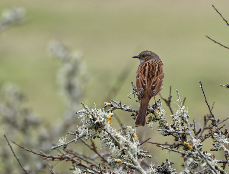
Prunella modularis
♥
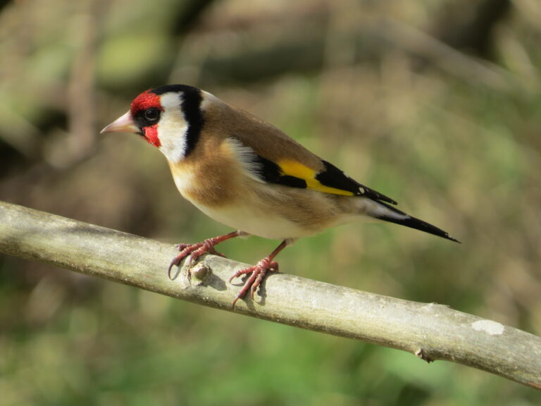
Carduelis carduelis
♥
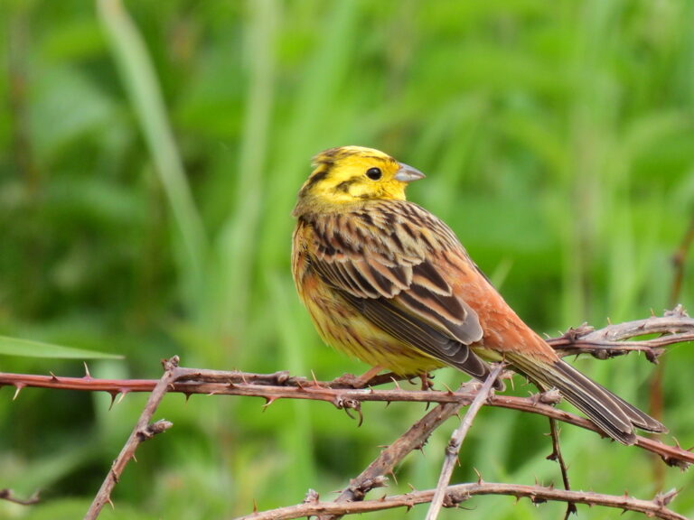
Emberiza citrinella
♥
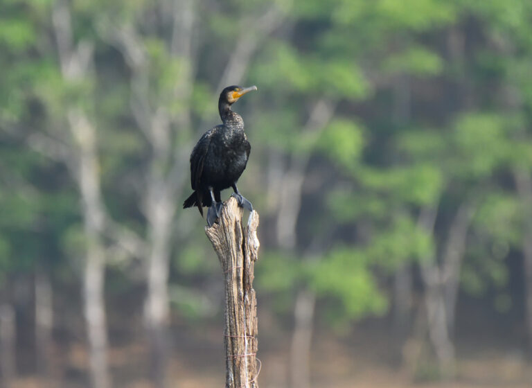
Phalacrocorax carbo
♥
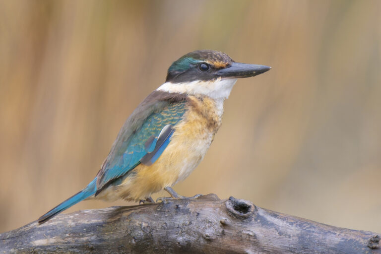
Todiramphus sanctus
♥
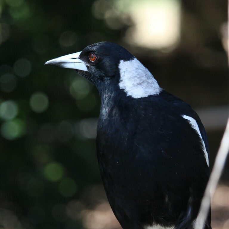
Gymnorhina tibicen
♥
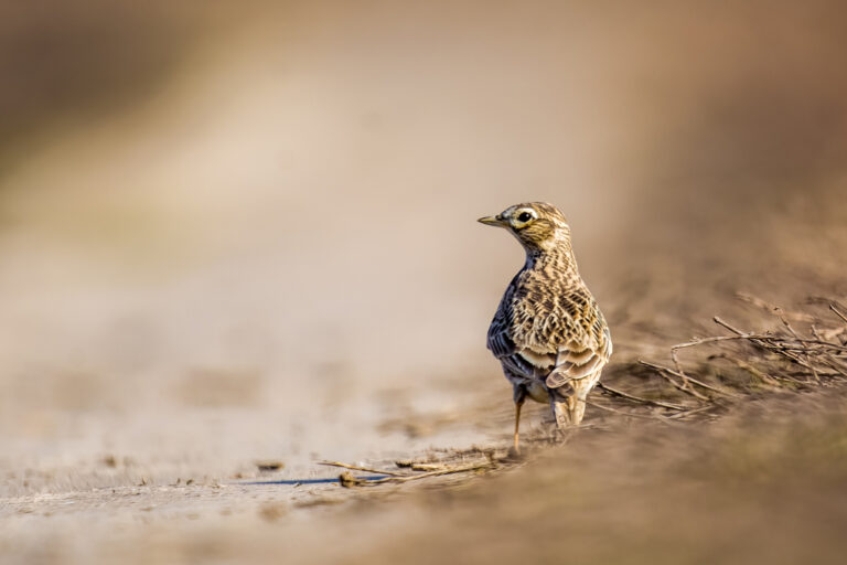
Alauda arvensis
♥
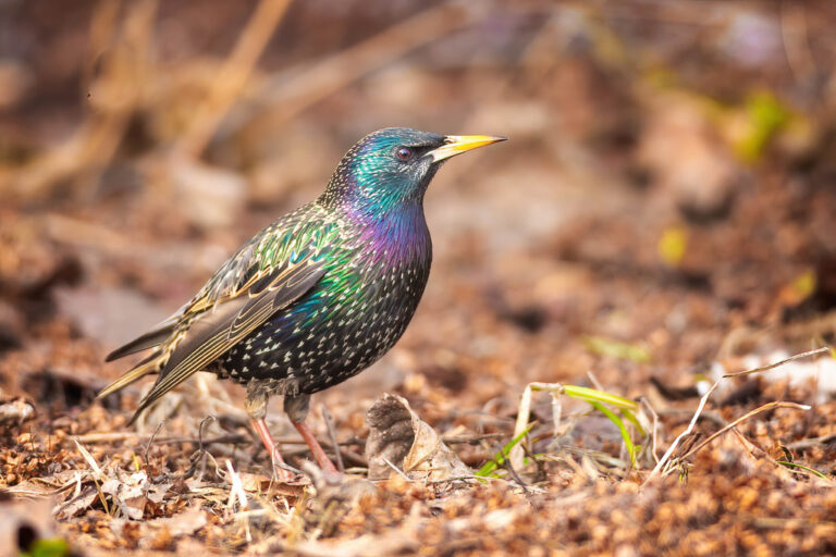
Sturnus vulgaris
♥
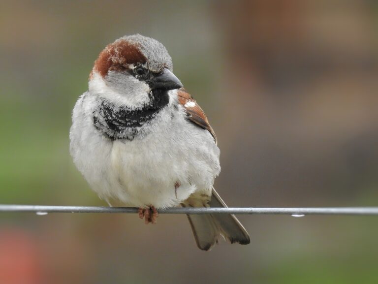
Passer domesticus
♥
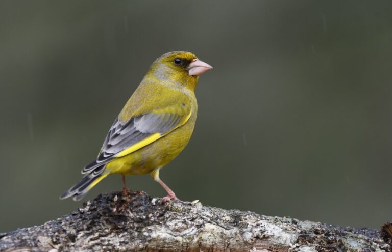
Chloris chloris
♥
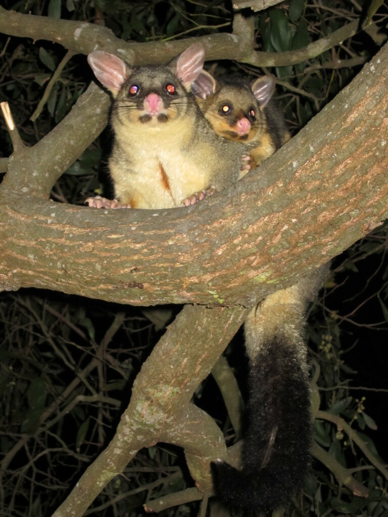
Trichosurus vulpecula
♥
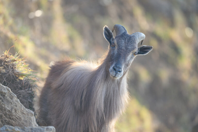
Hemitragus jemlahicus
♥
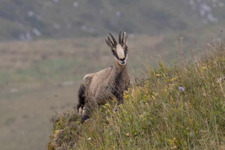
Rupicapra rupicapra
♥
Cervus elaphus
♥