Average annual temperature
22.1 °C
Average of the twelve monthly means
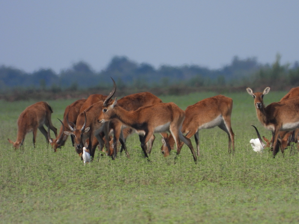
Bangweulu National Park
Photo © Michael Bakker Paiva
Photo © Michael Bakker Paiva — CC BY 4.0 — Source: iNaturalist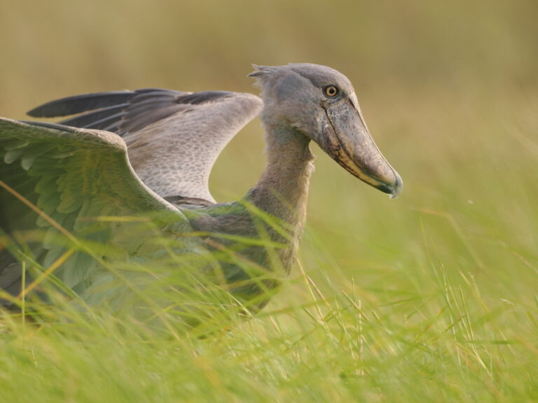
Balaeniceps rex
♥
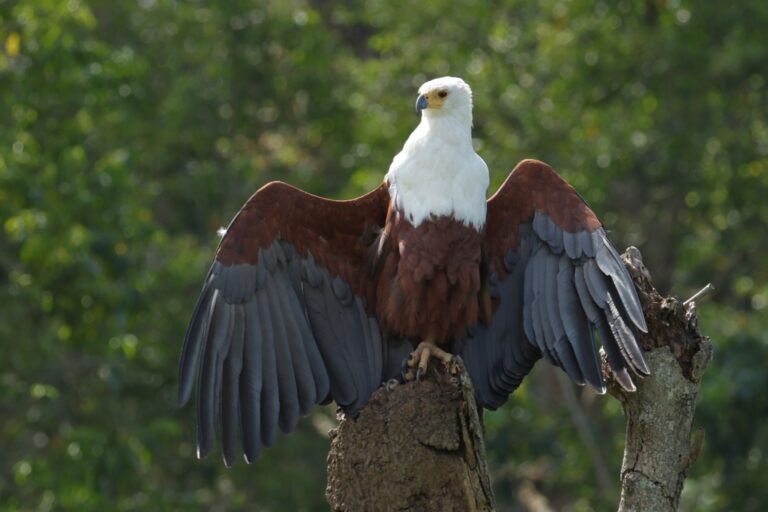
Icthyophaga vocifer
♥
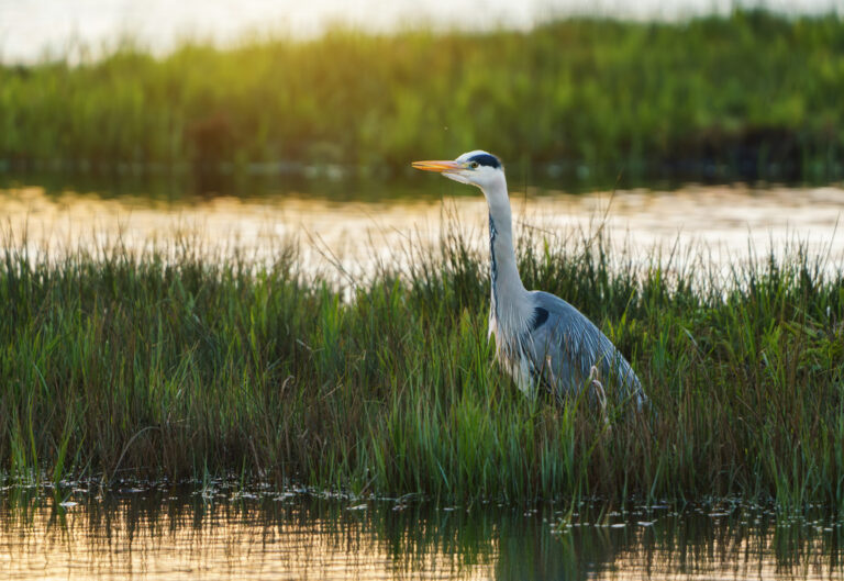
Ardea cinerea
♥
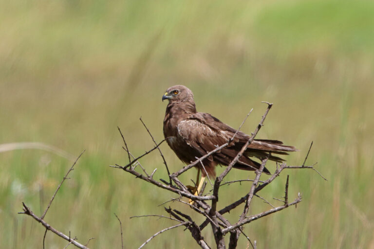
Circus ranivorus
♥
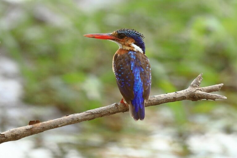
Corythornis cristatus
♥
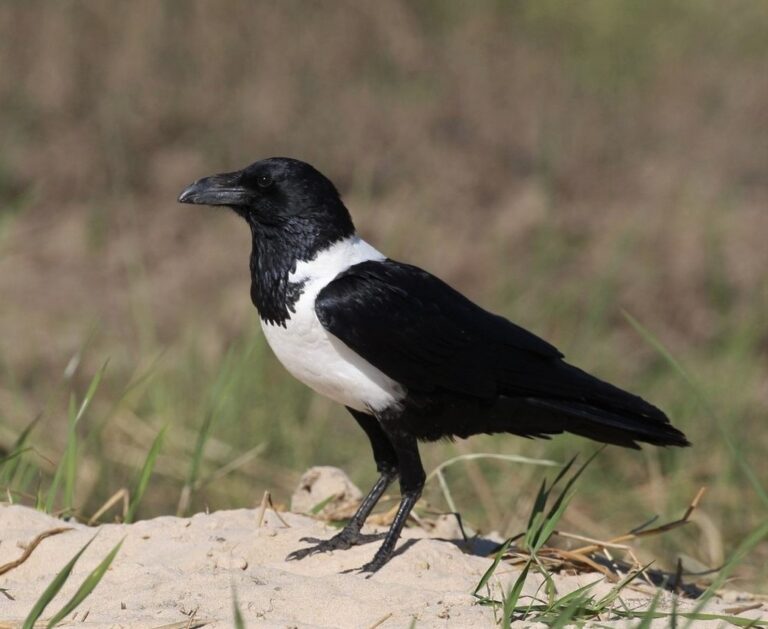
Corvus albus
♥
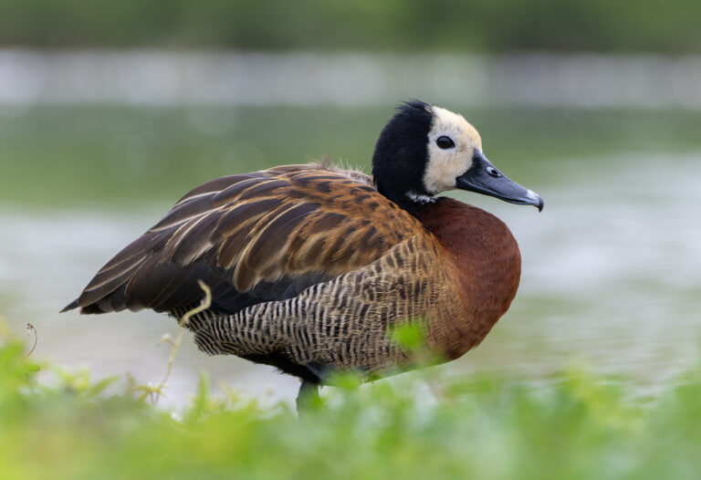
Dendrocygna viduata
♥
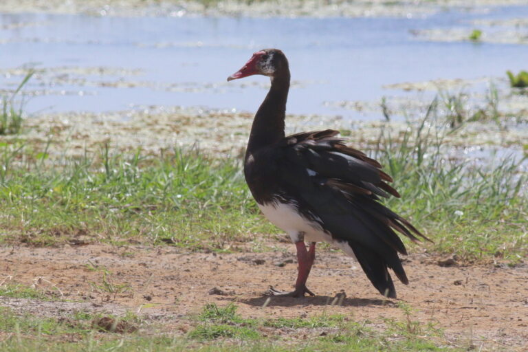
Plectropterus gambensis
♥
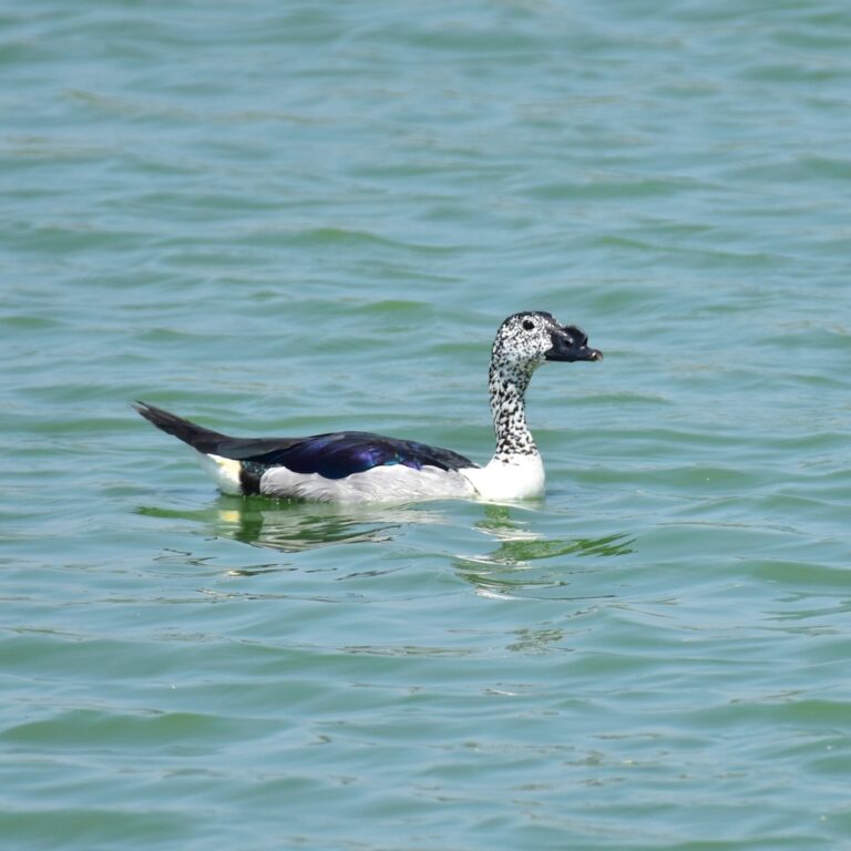
Sarkidiornis melanotos
♥
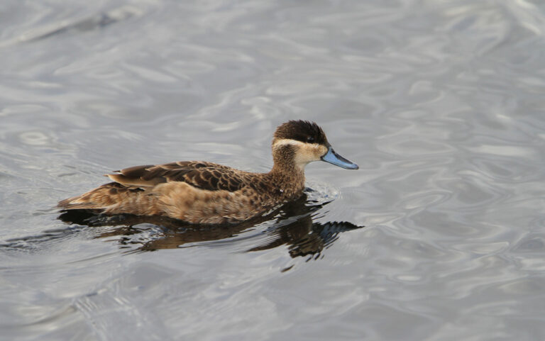
Spatula hottentota
♥
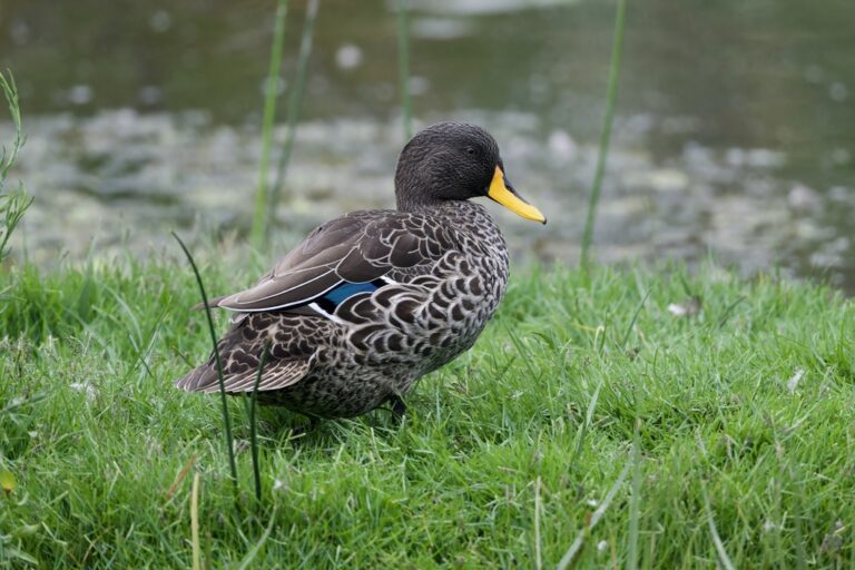
Anas undulata
♥
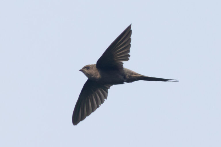
Cypsiurus parvus
♥
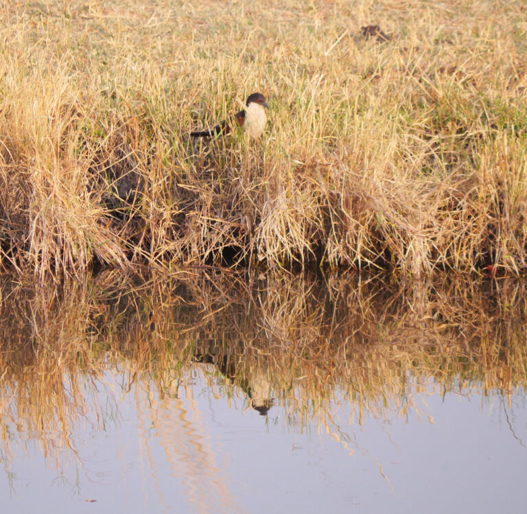
Centropus cupreicaudus
♥
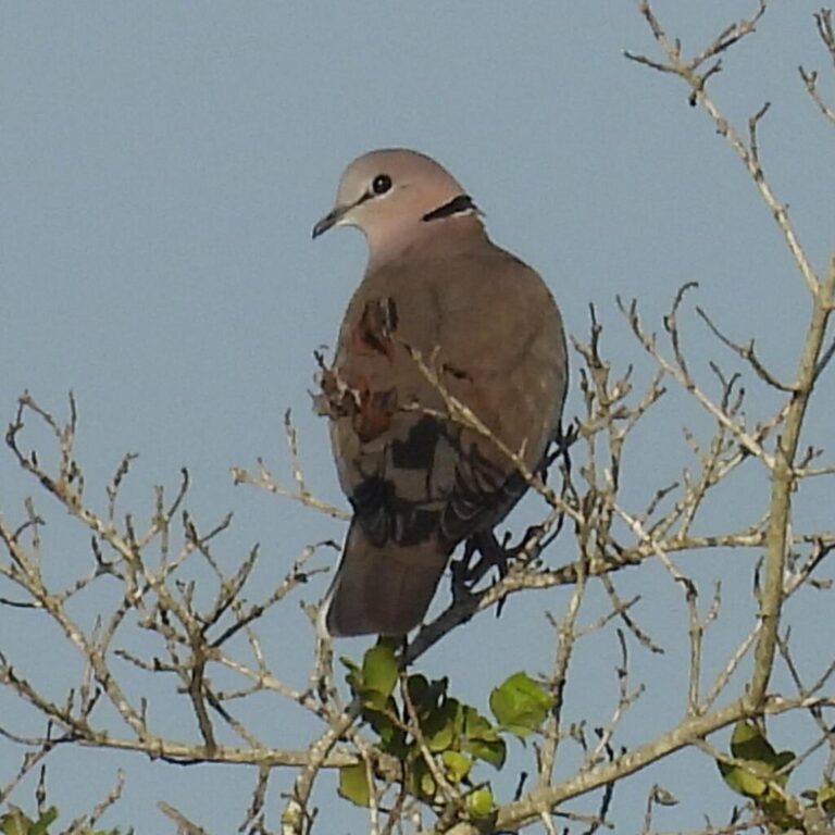
Streptopelia capicola
♥
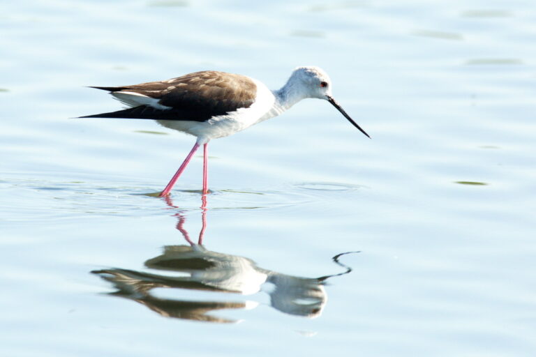
Himantopus himantopus
♥
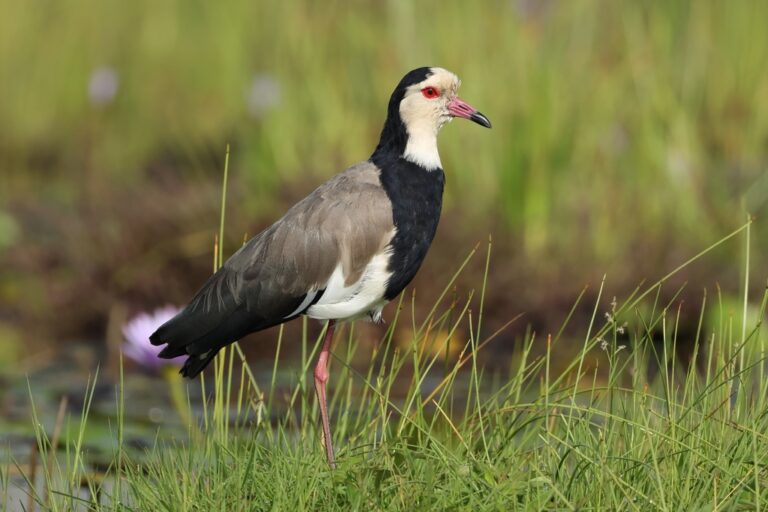
Vanellus crassirostris
♥
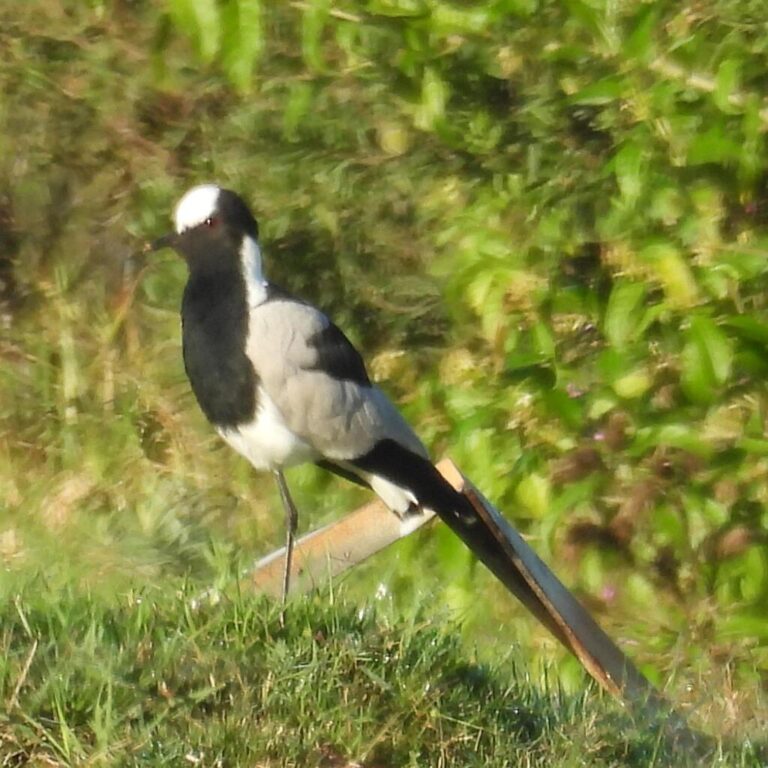
Vanellus armatus
♥
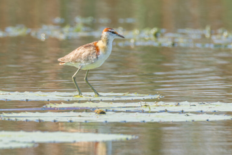
Microparra capensis
♥
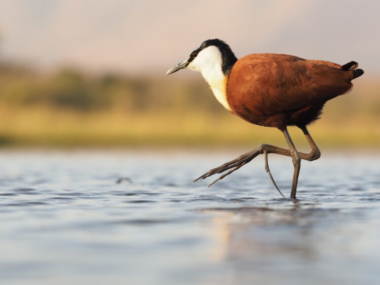
Actophilornis africanus
♥
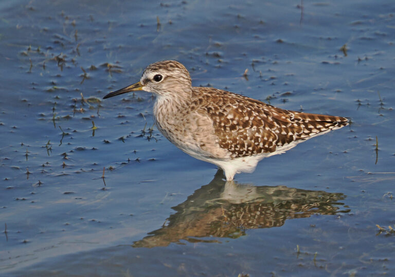
Tringa glareola
♥
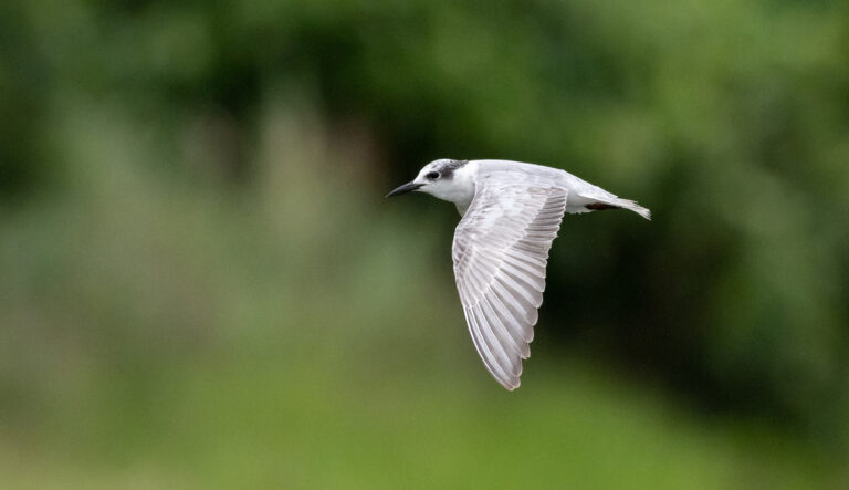
Chlidonias hybrida
♥
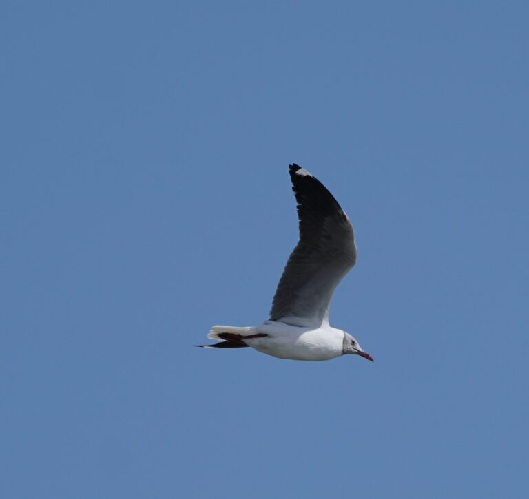
Chroicocephalus cirrocephalus
♥
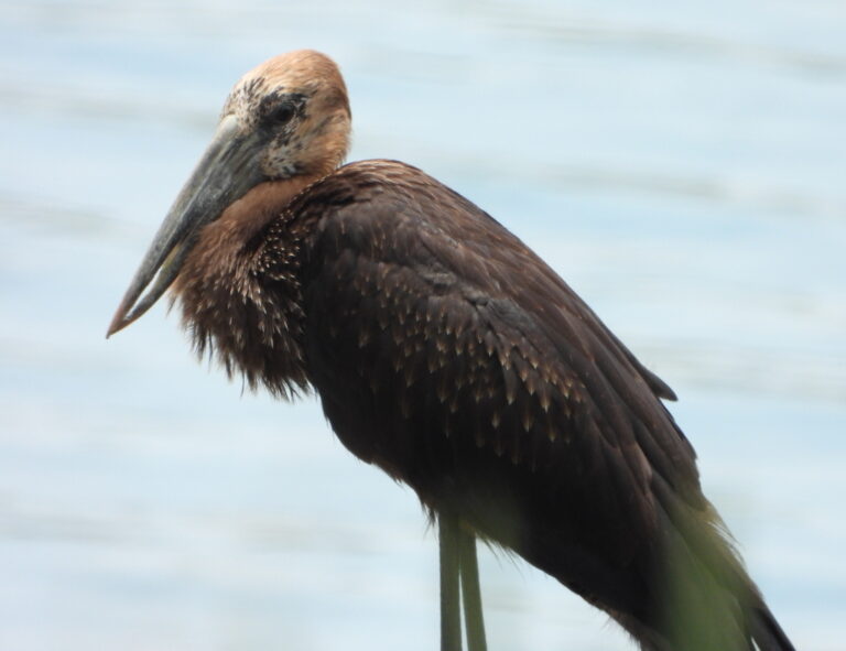
Anastomus lamelligerus
♥
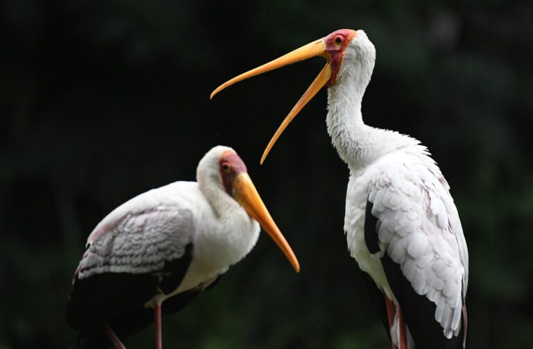
Mycteria ibis
♥
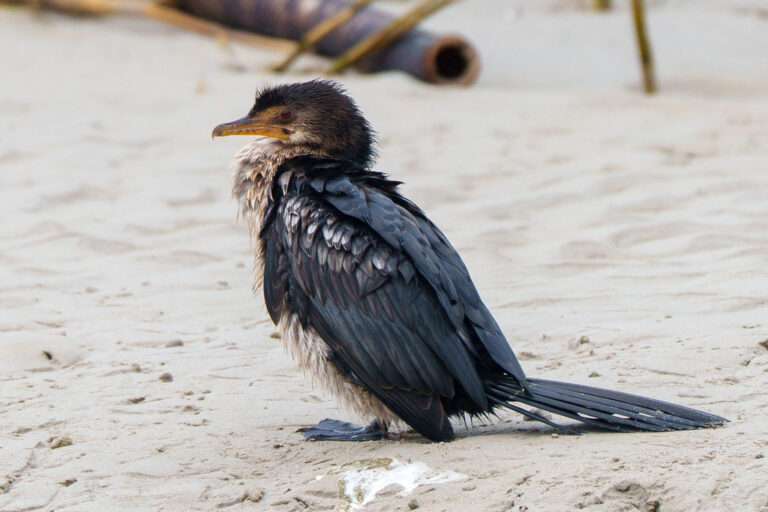
Microcarbo africanus
♥
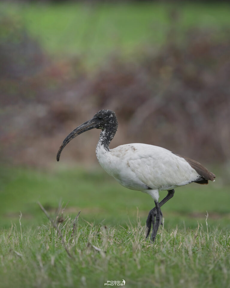
Threskiornis aethiopicus
♥
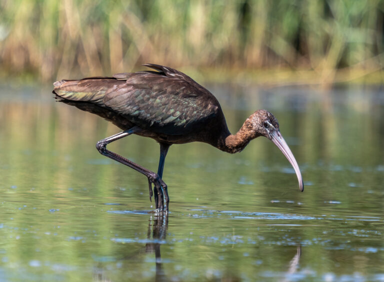
Plegadis falcinellus
♥
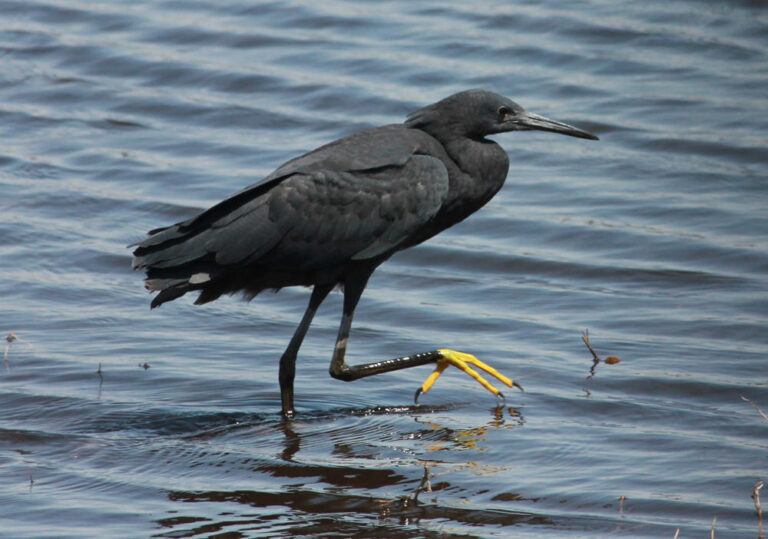
Egretta ardesiaca
♥
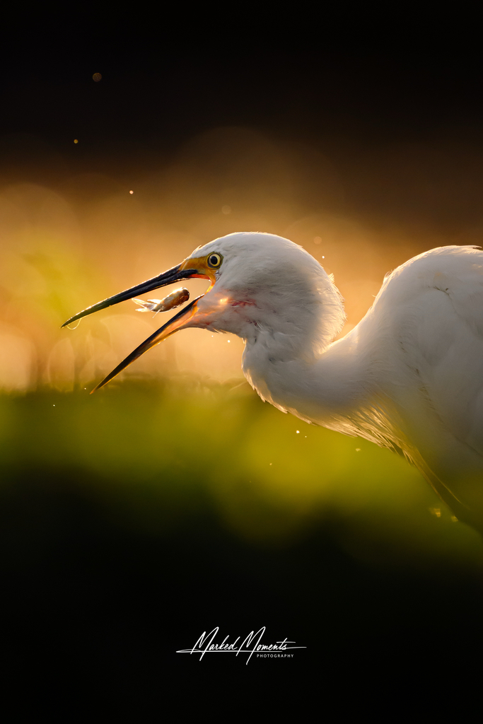
Egretta garzetta
♥
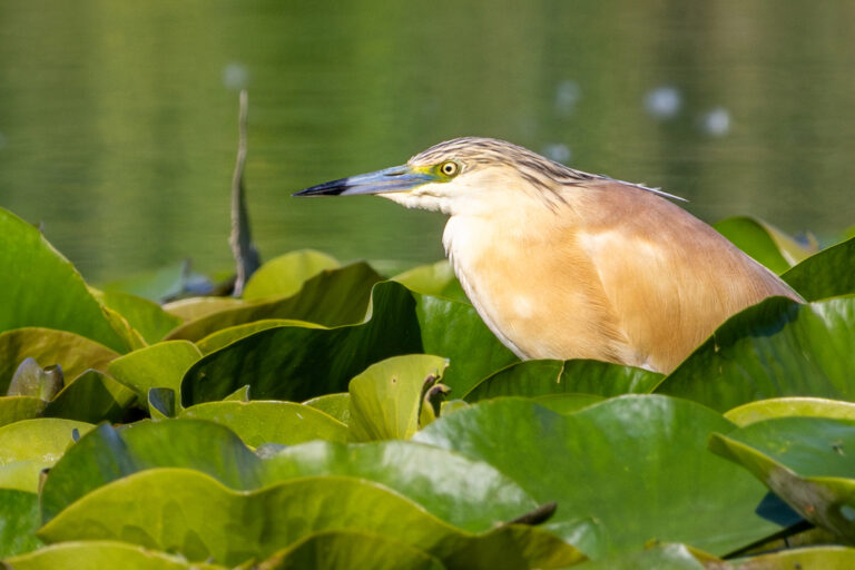
Ardeola ralloides
♥
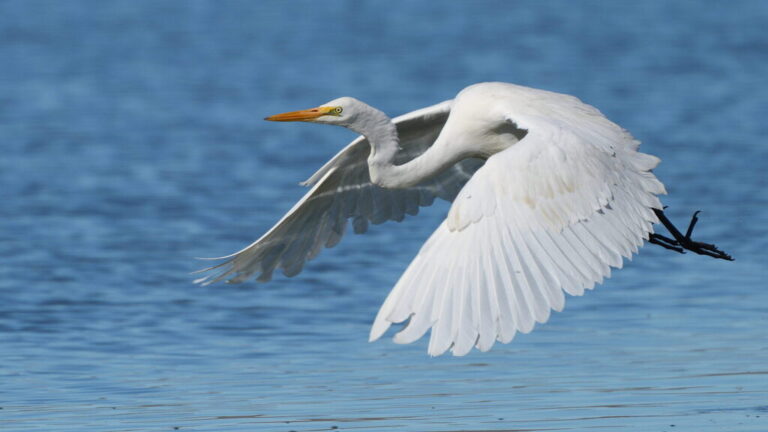
Ardea alba
♥
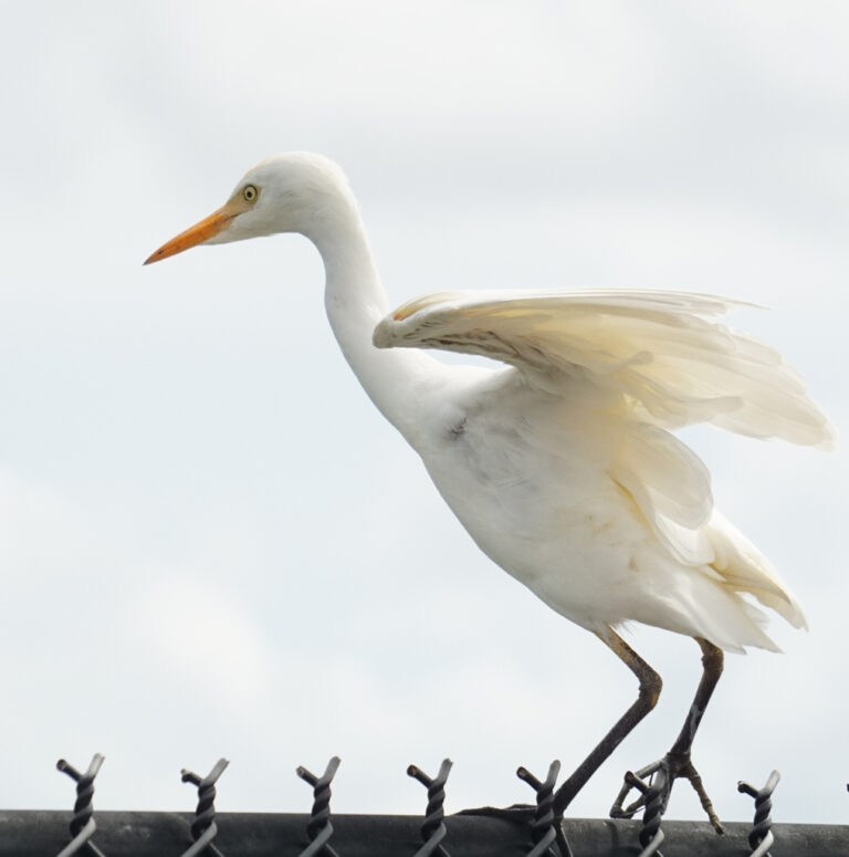
Ardea ibis
♥
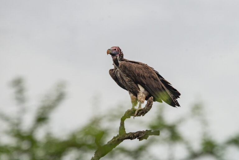
Torgos tracheliotos
♥
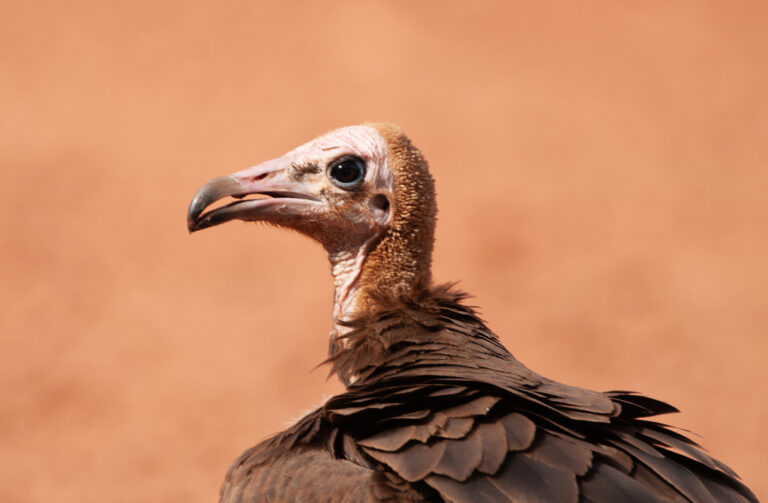
Necrosyrtes monachus
♥
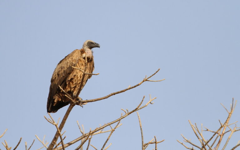
Gyps africanus
♥
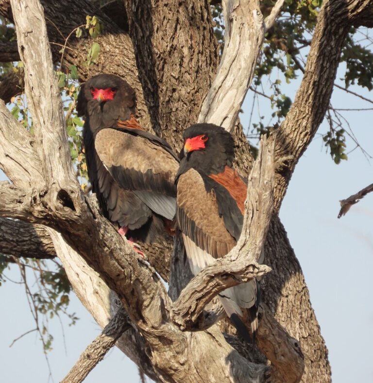
Terathopius ecaudatus
♥
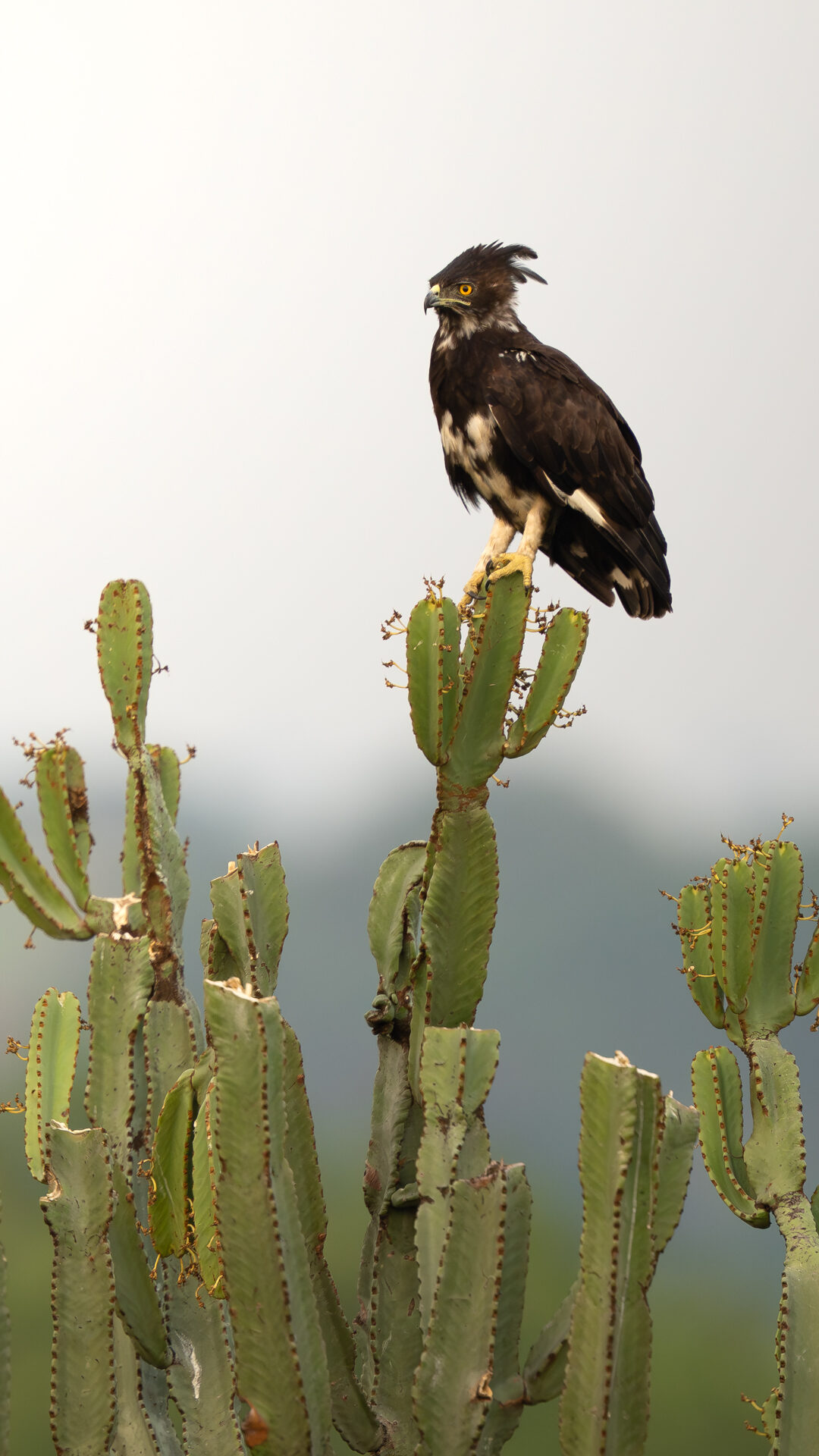
Lophaetus occipitalis
♥
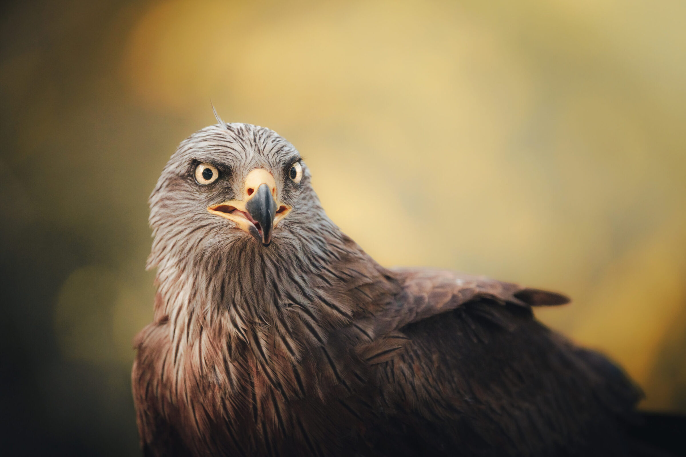
Milvus migrans
♥
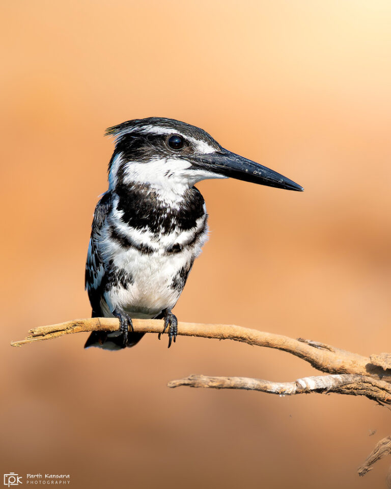
Ceryle rudis
♥
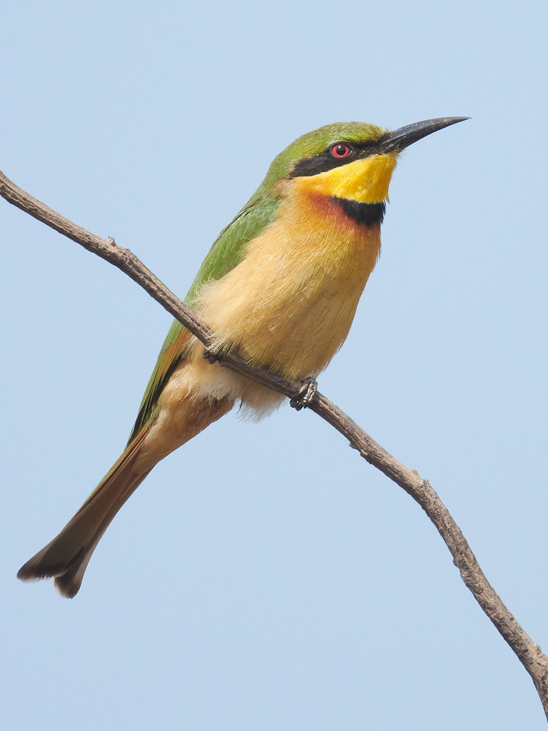
Merops pusillus
♥
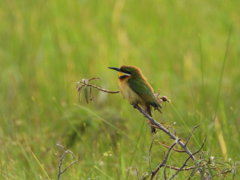
Merops variegatus
♥
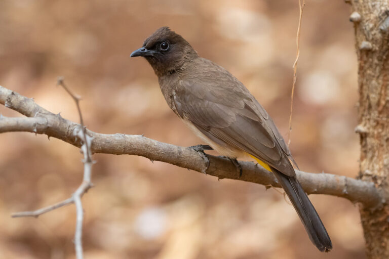
Pycnonotus barbatus
♥
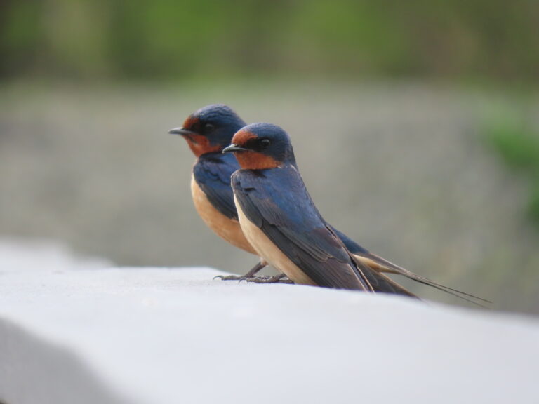
Hirundo rustica
♥
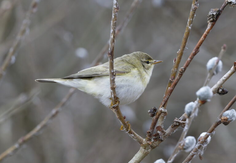
Phylloscopus trochilus
♥
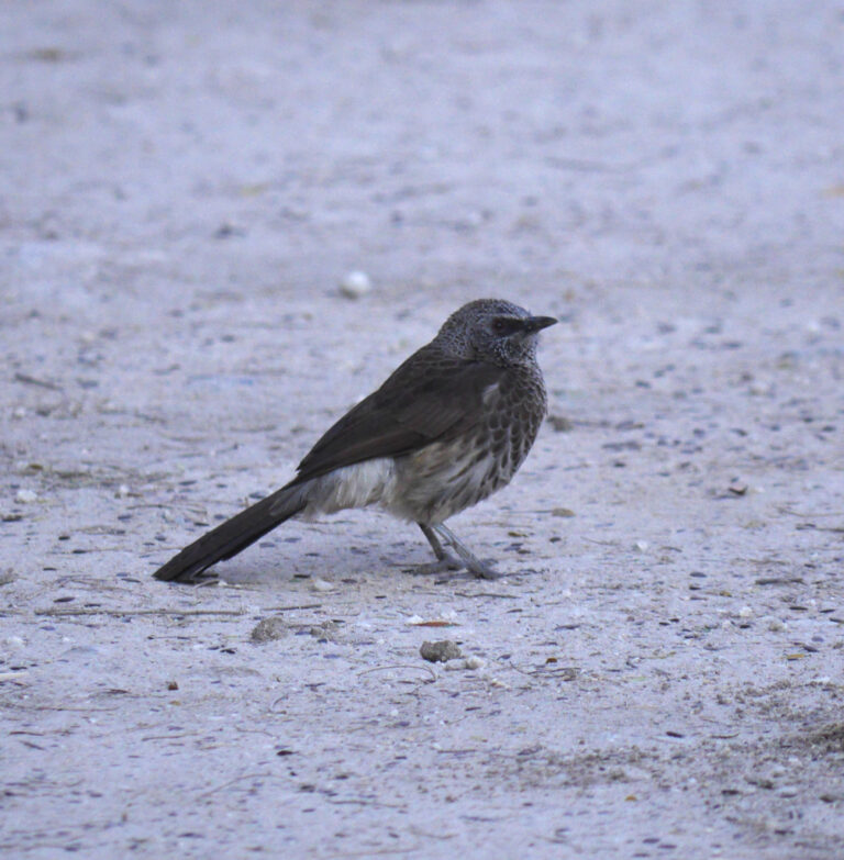
Turdoides hartlaubii
♥
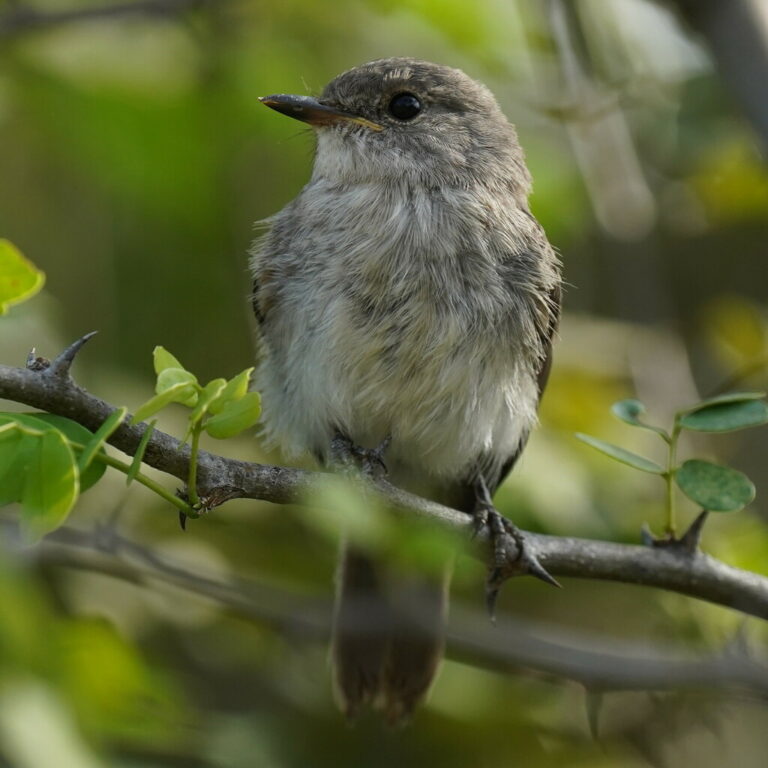
Muscicapa aquatica
♥
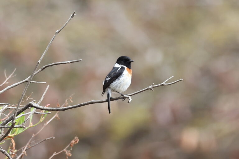
Saxicola torquatus
♥
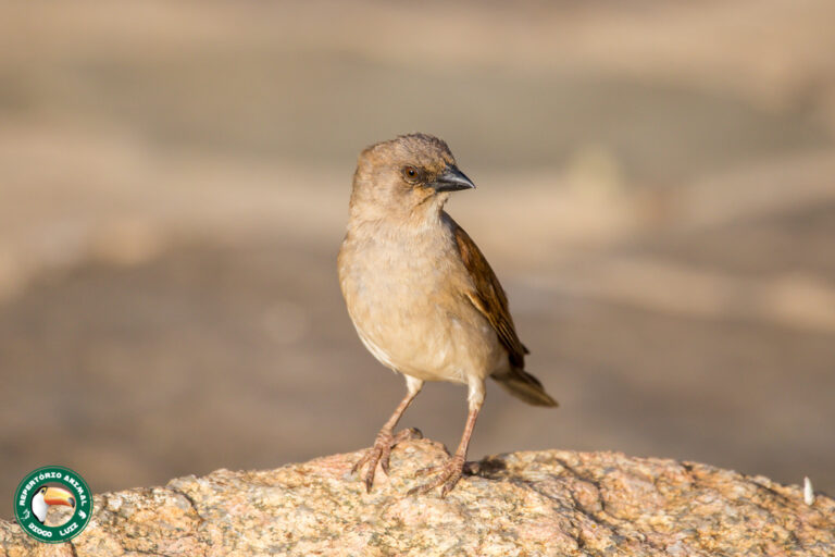
Passer griseus
♥
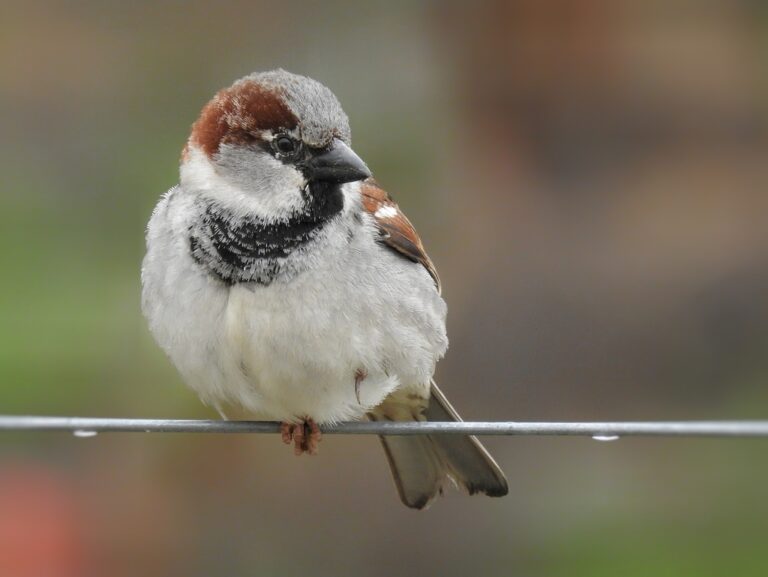
Passer domesticus
♥
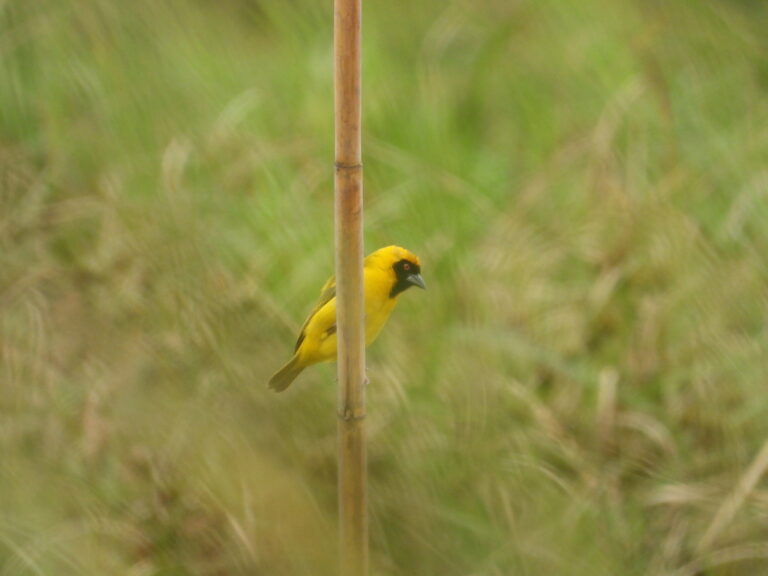
Ploceus katangae
♥
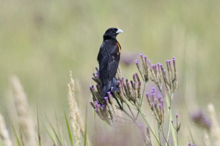
Euplectes axillaris
♥
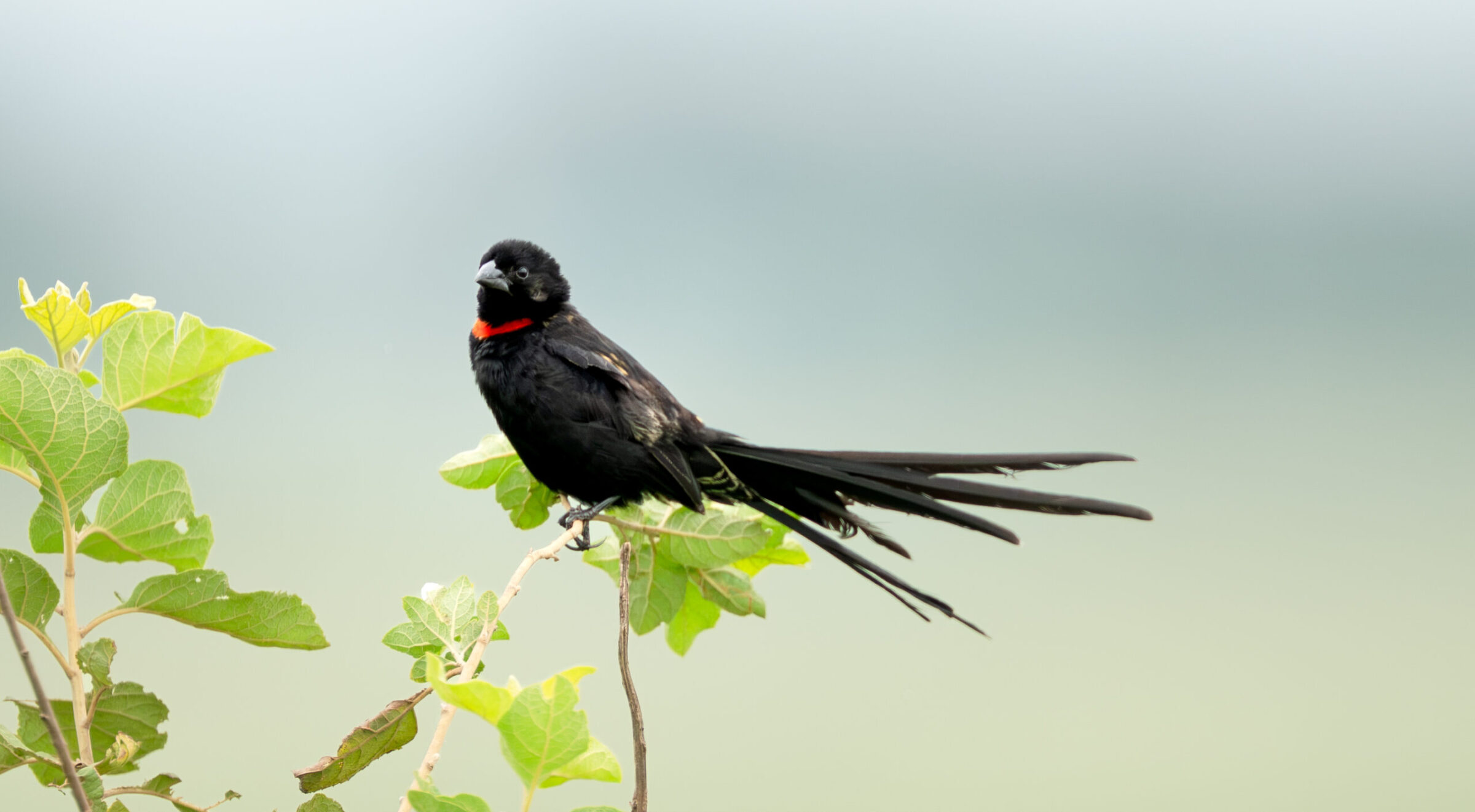
Euplectes ardens
♥
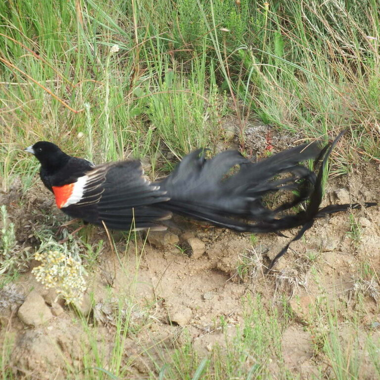
Euplectes progne
♥
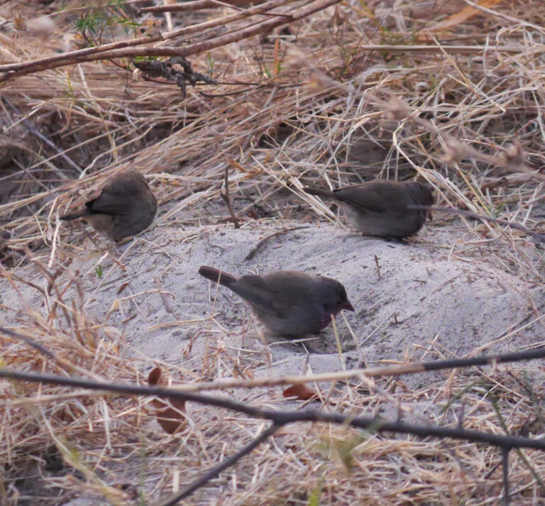
Lagonosticta nitidula
♥
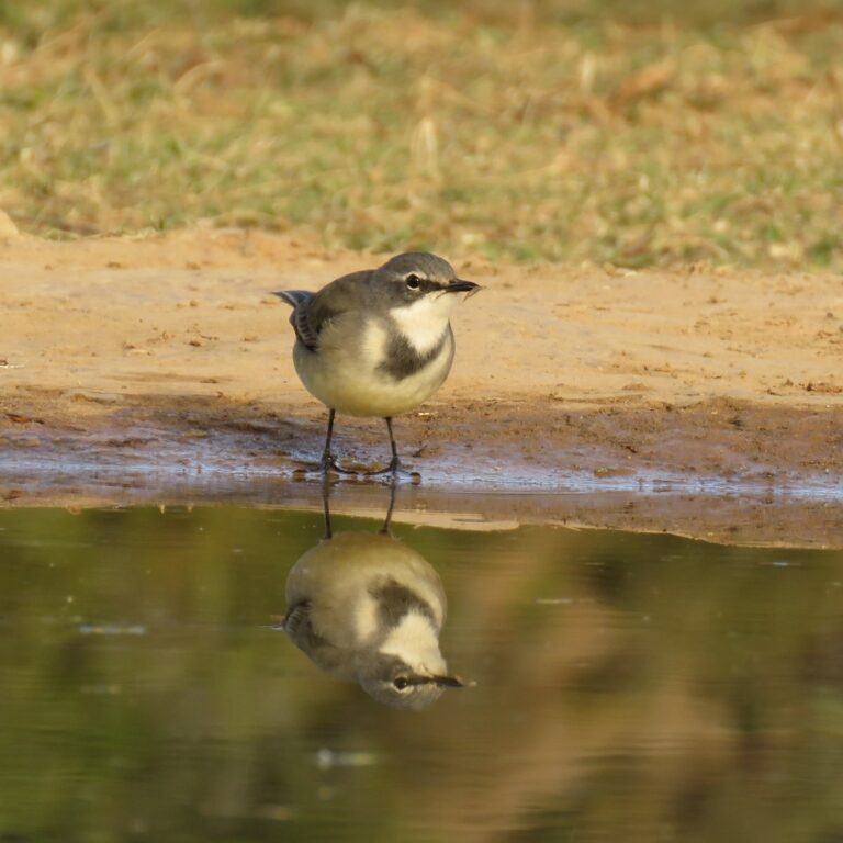
Motacilla capensis
♥
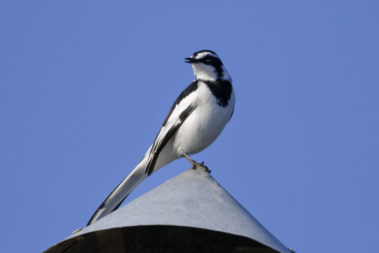
Motacilla aguimp
♥
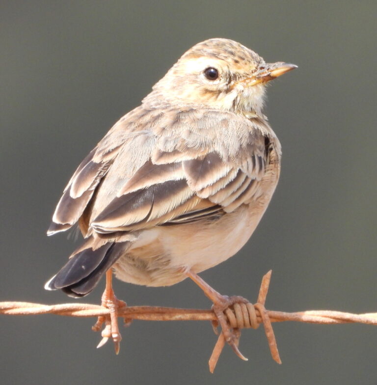
Anthus cinnamomeus
♥
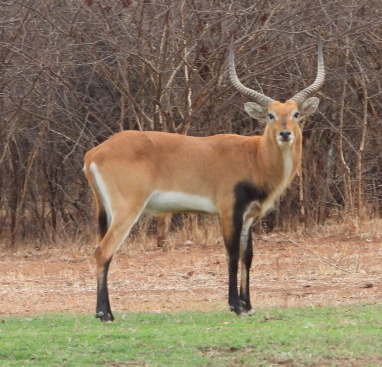
Kobus leche
♥