Average annual temperature
10.1 °C
Average of the twelve monthly means
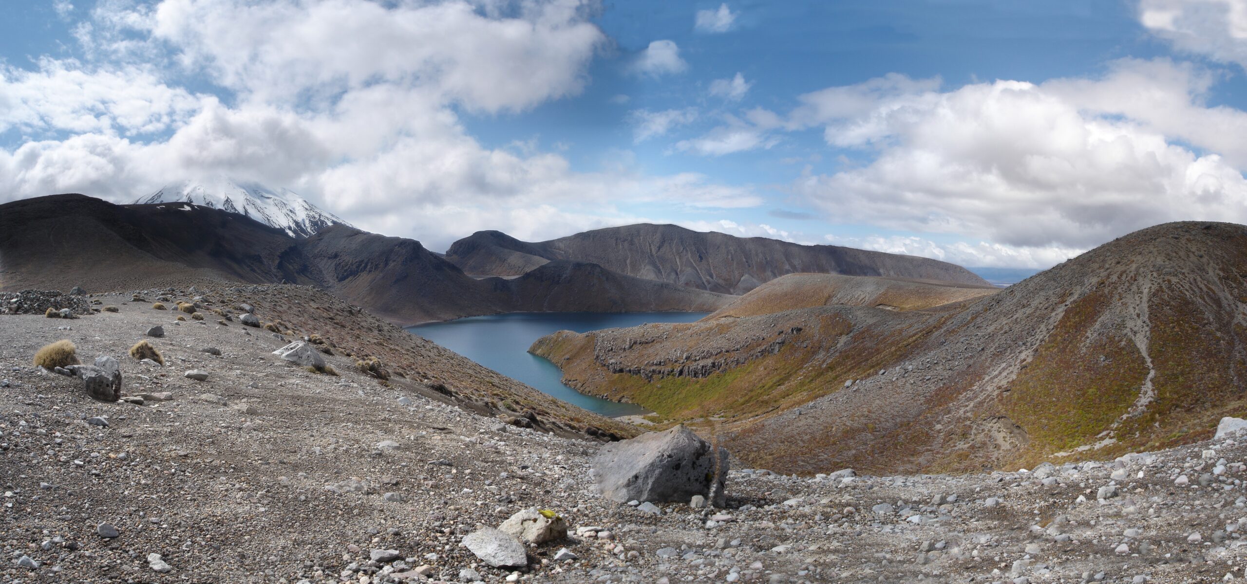
Tongariro National Park
Photo © Arne Hückelheim
Photo © Arne Hückelheim — CC BY-SA 4.0 — Source: Wikimedia Commons
Website
nationalpark.co.nz
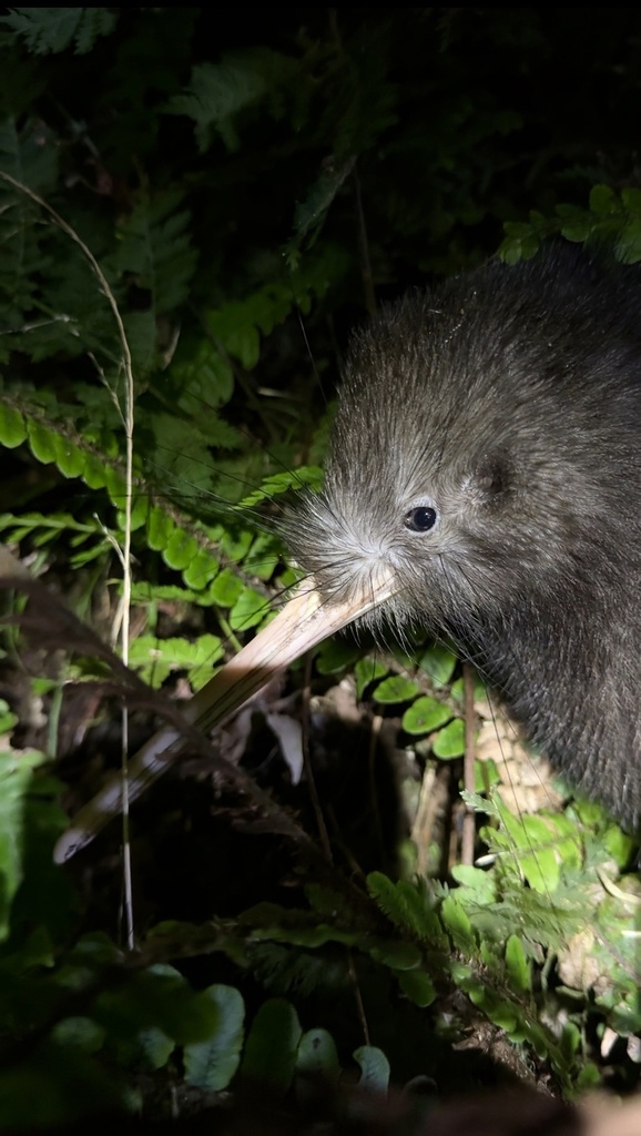
Apteryx mantelli
♥
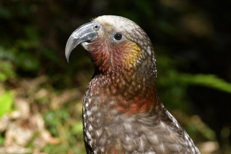
Nestor meridionalis
♥
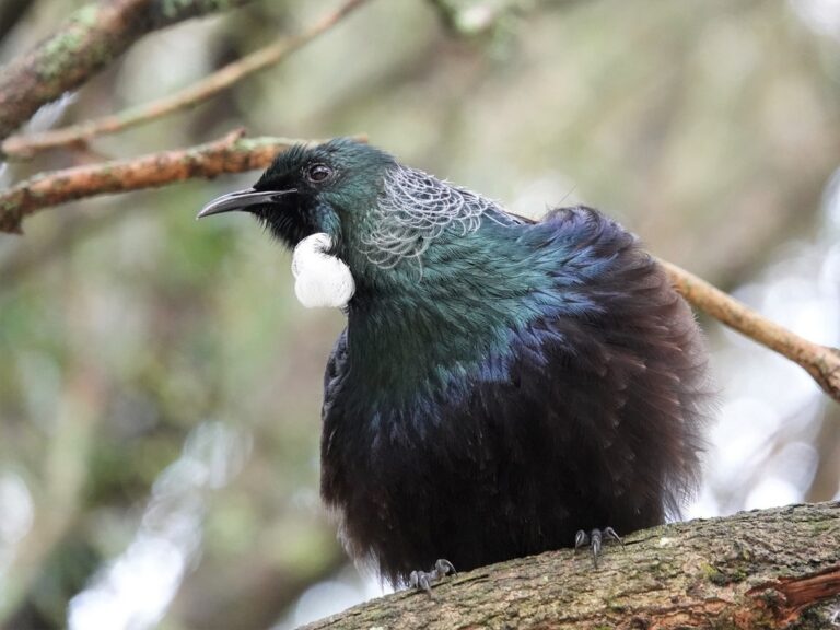
Prosthemadera novaeseelandiae
♥
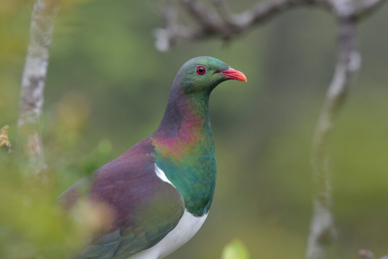
Hemiphaga novaeseelandiae
♥
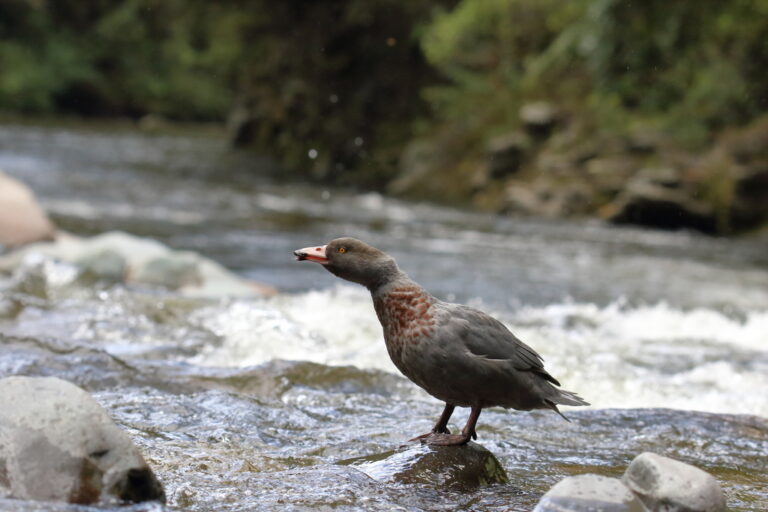
Hymenolaimus malacorhynchos
♥
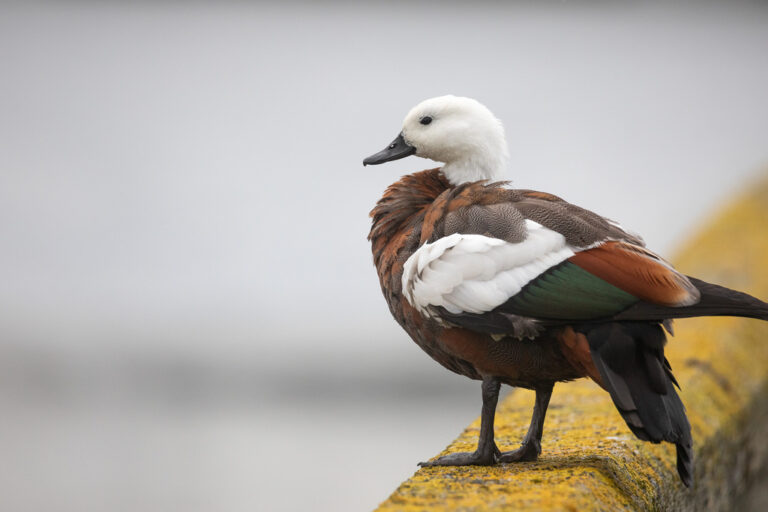
Tadorna variegata
♥
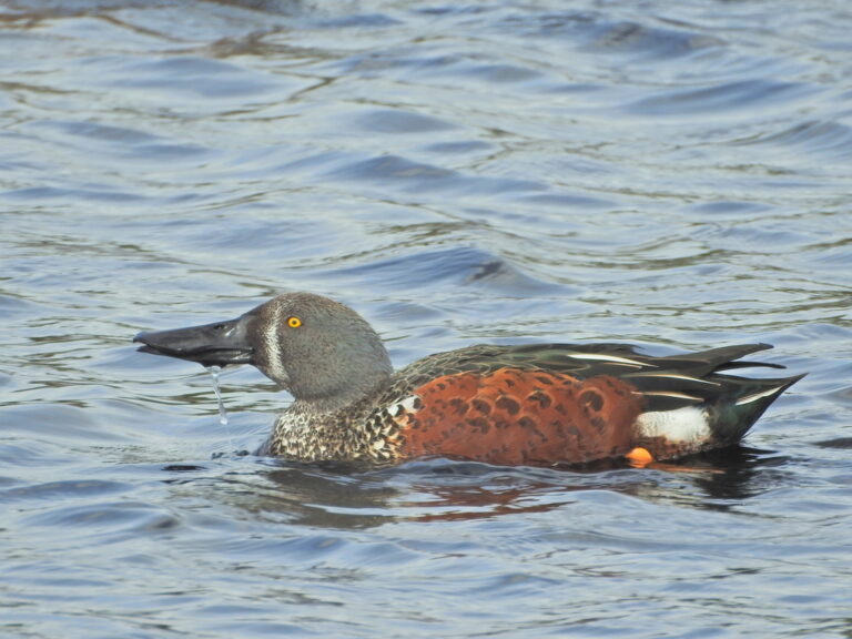
Spatula rhynchotis
♥
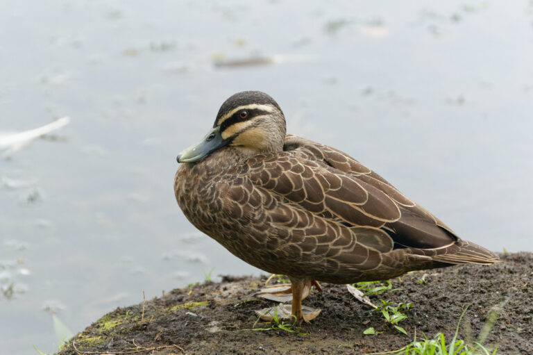
Anas superciliosa
♥
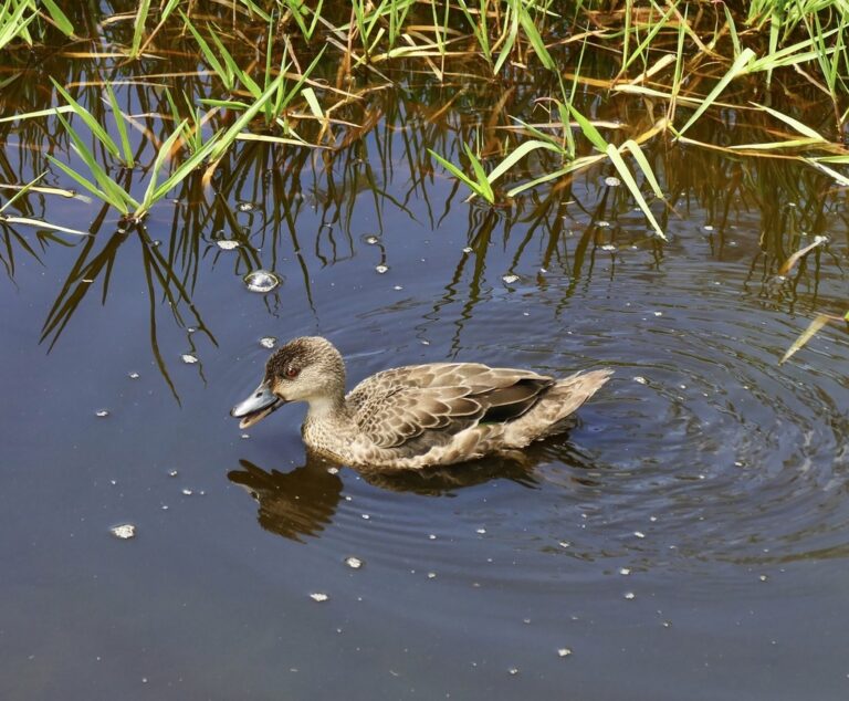
Anas gracilis
♥
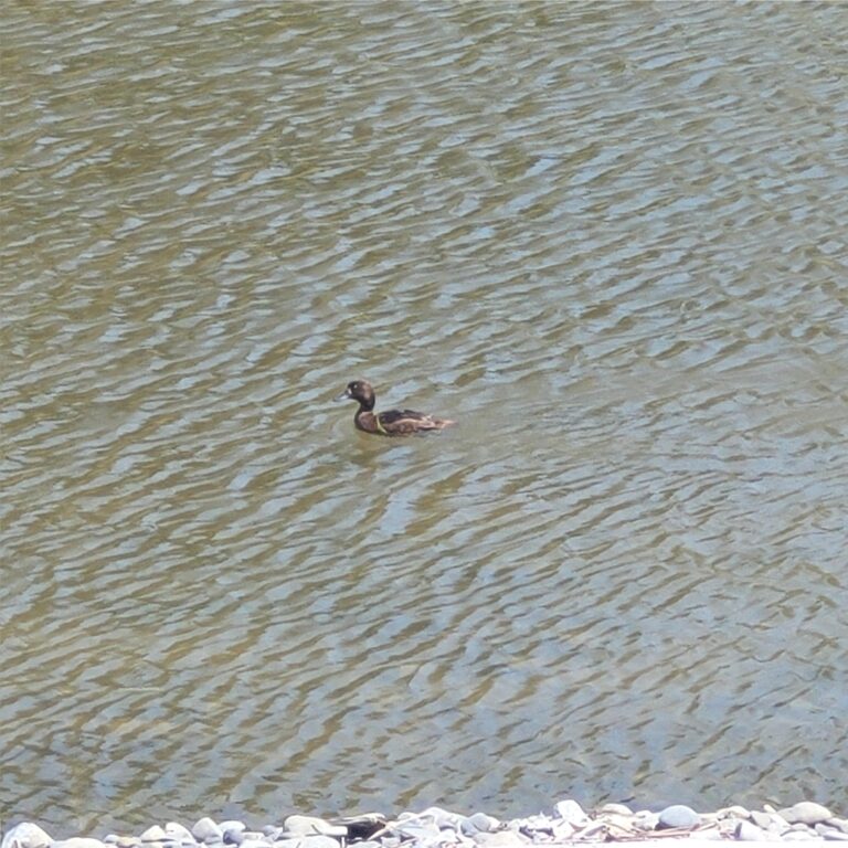
Aythya novaeseelandiae
♥
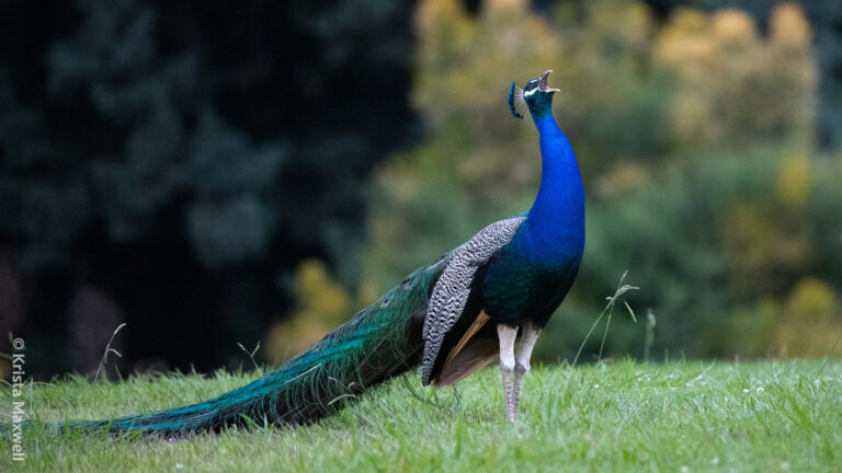
Pavo cristatus
♥
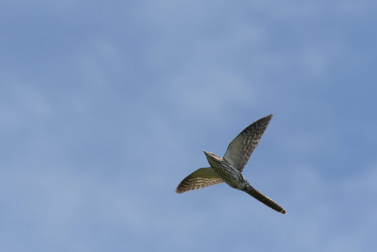
Urodynamis taitensis
♥
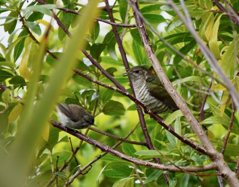
Chalcites lucidus
♥
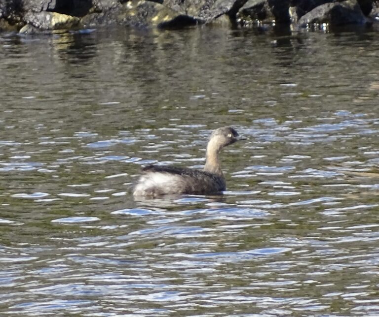
Poliocephalus rufopectus
♥
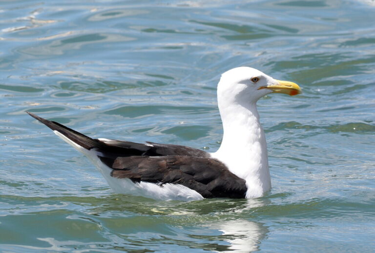
Larus dominicanus
♥
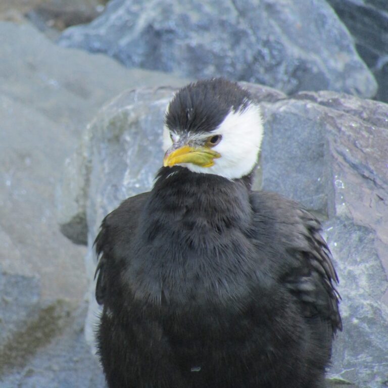
Microcarbo melanoleucos
♥
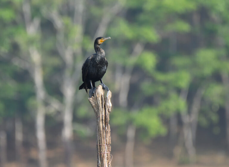
Phalacrocorax carbo
♥
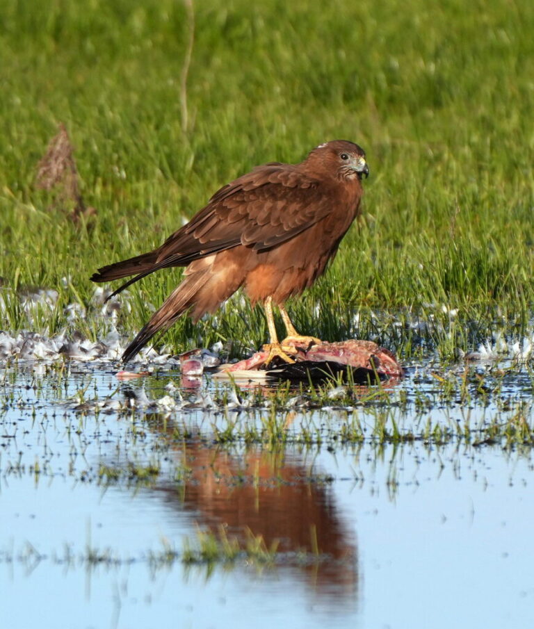
Circus approximans
♥
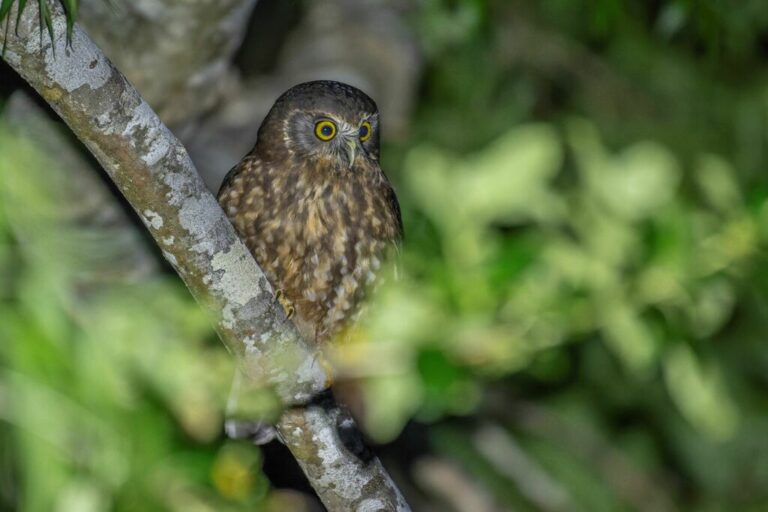
Ninox novaeseelandiae
♥
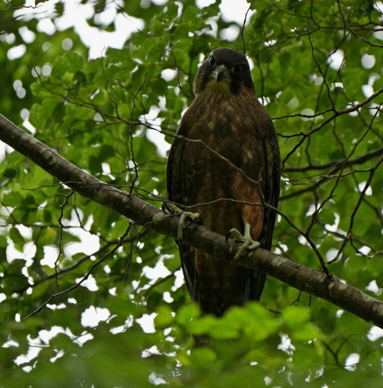
Falco novaeseelandiae
♥
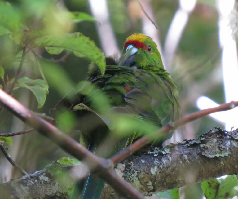
Cyanoramphus auriceps
♥
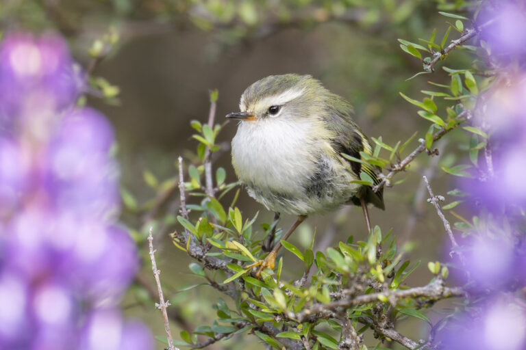
Acanthisitta chloris
♥
Anthornis melanura
♥
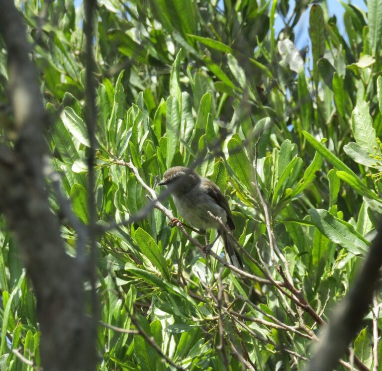
Gerygone igata
♥
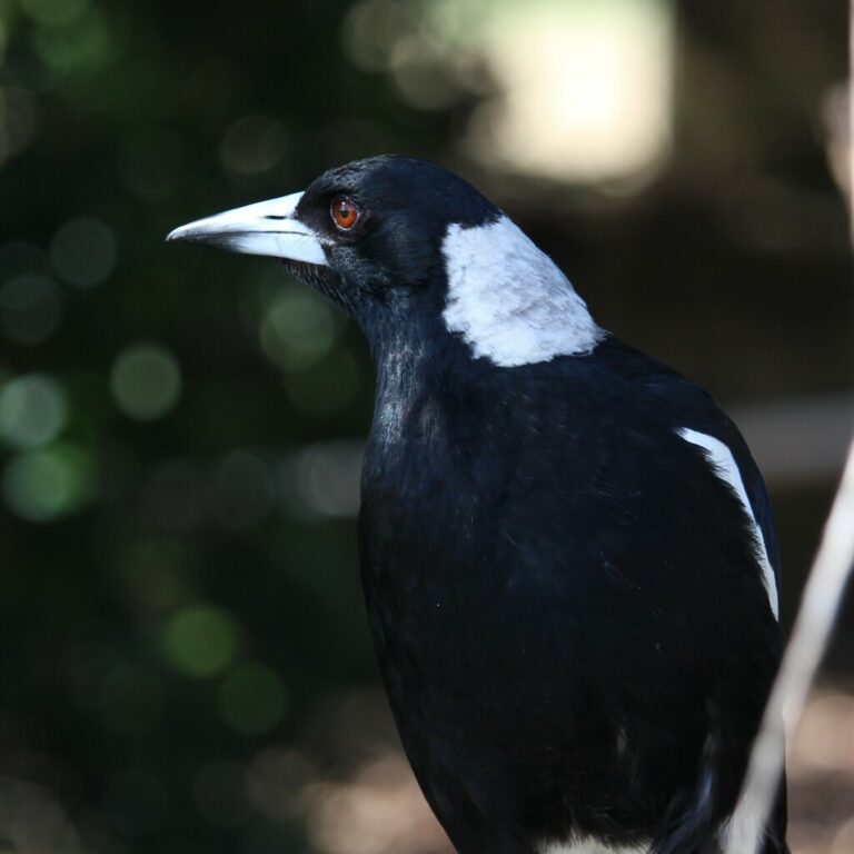
Gymnorhina tibicen
♥
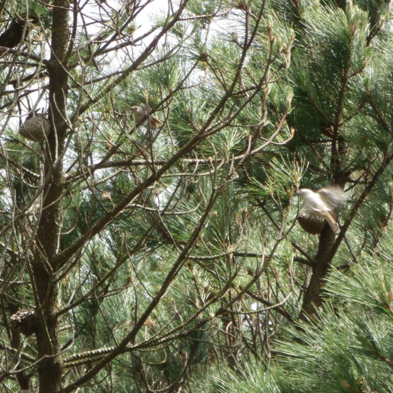
Mohoua albicilla
♥
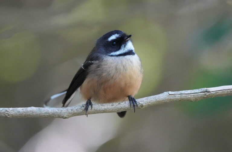
Rhipidura fuliginosa
♥
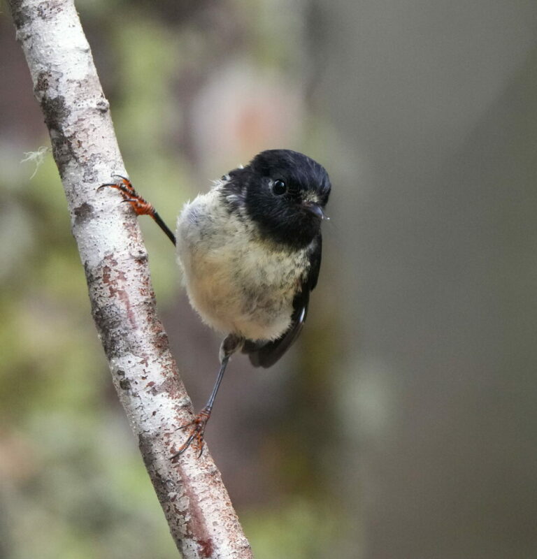
Petroica macrocephala
♥
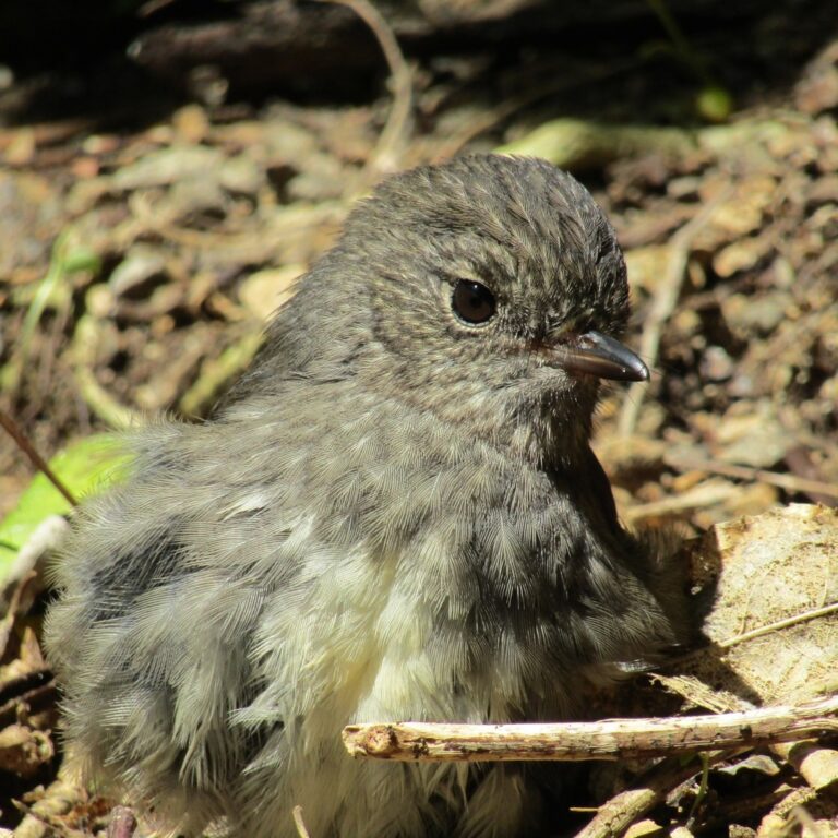
Petroica longipes
♥
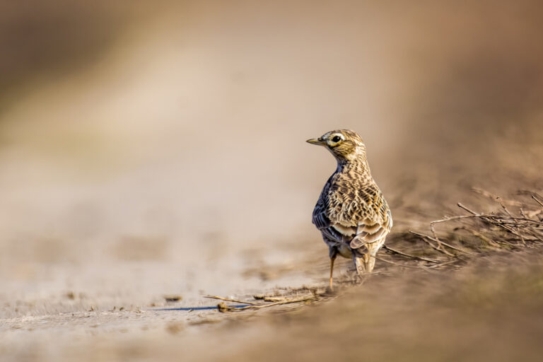
Alauda arvensis
♥
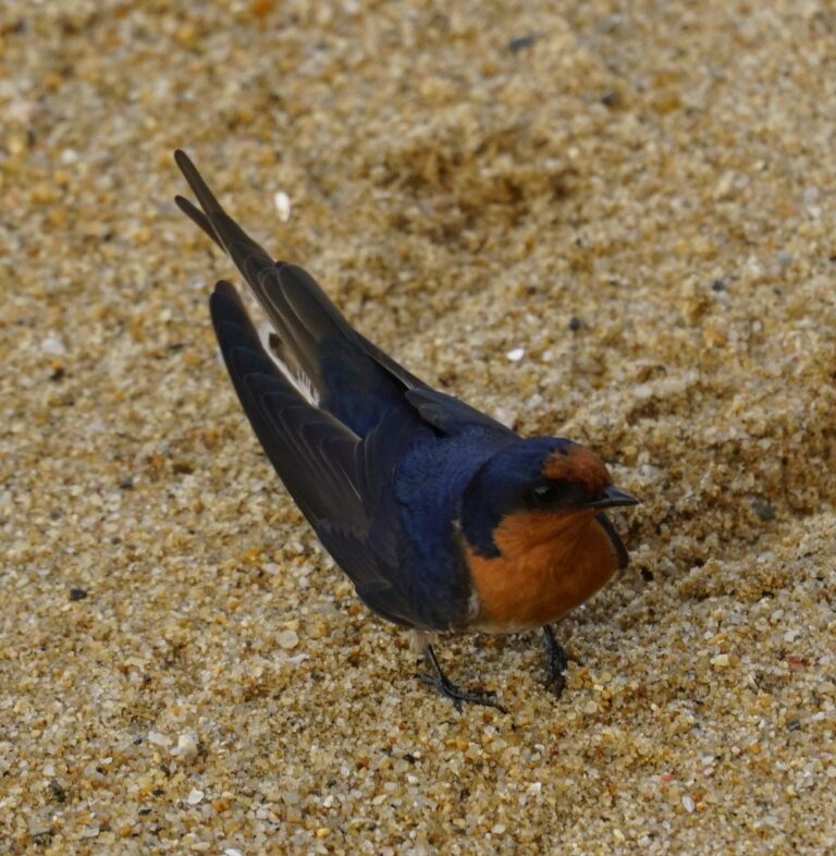
Hirundo neoxena
♥
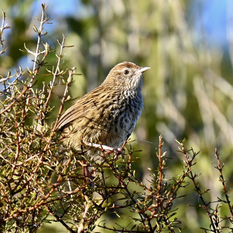
Poodytes punctatus
♥
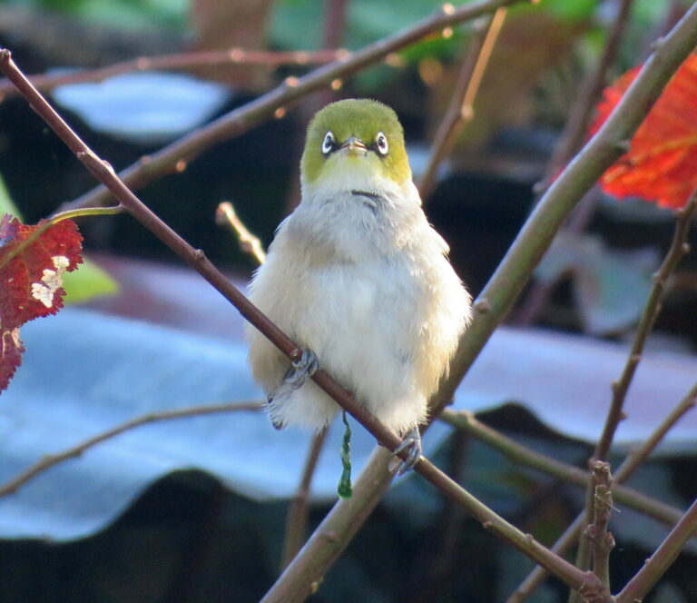
Zosterops lateralis
♥
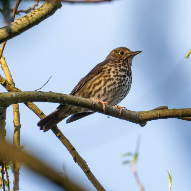
Turdus philomelos
♥
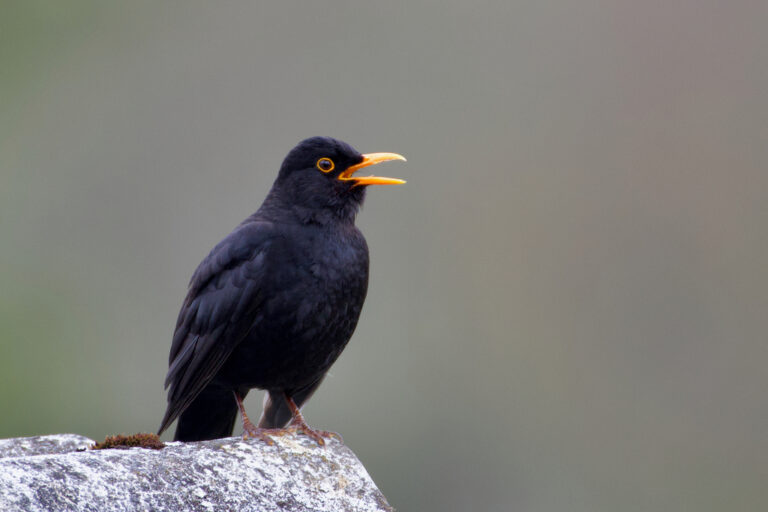
Turdus merula
♥
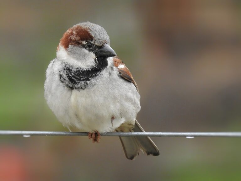
Passer domesticus
♥
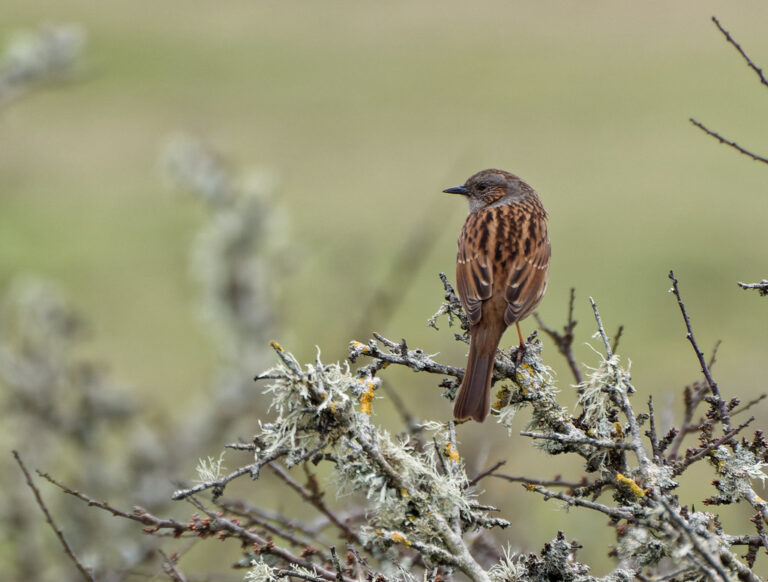
Prunella modularis
♥
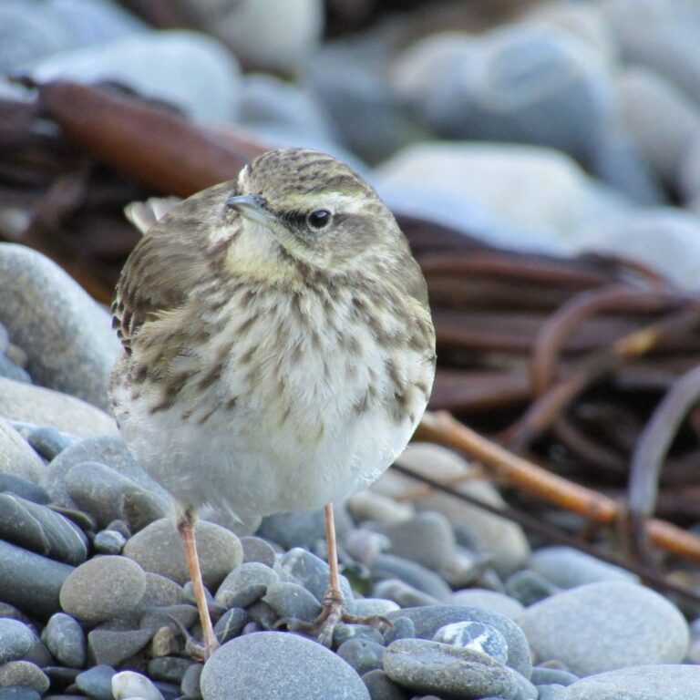
Anthus novaeseelandiae
♥
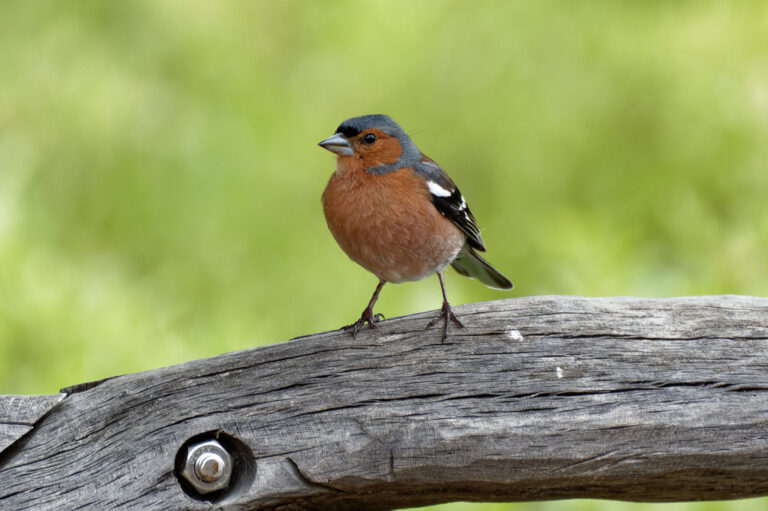
Fringilla coelebs
♥
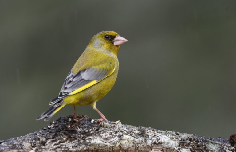
Chloris chloris
♥
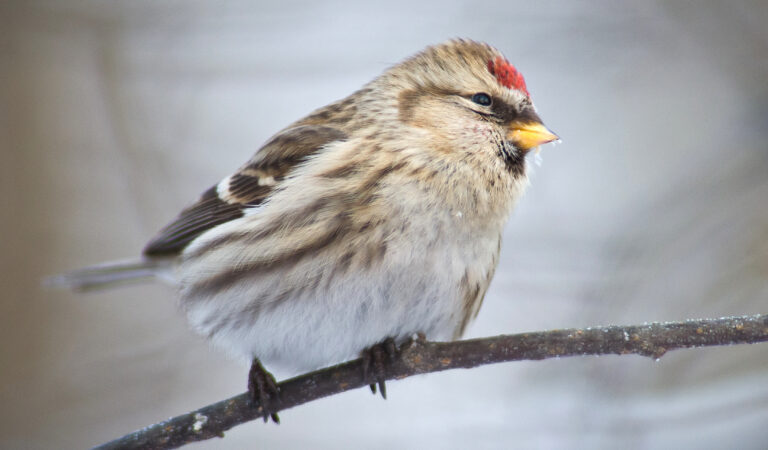
Acanthis flammea
♥
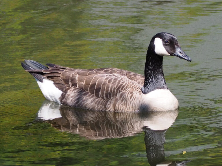
Branta canadensis
♥
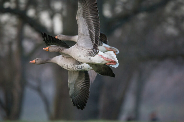
Anser anser
♥
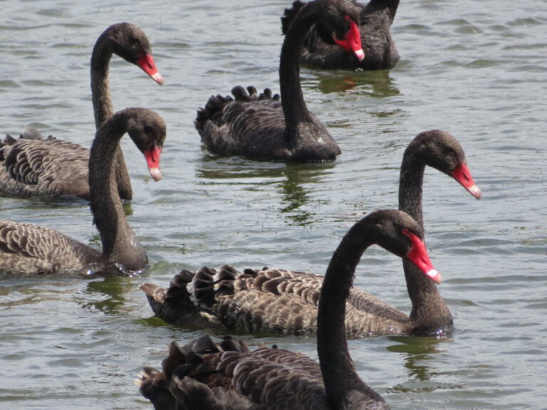
Cygnus atratus
♥
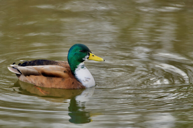
Anas platyrhynchos
♥
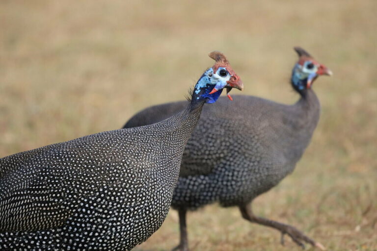
Numida meleagris
♥
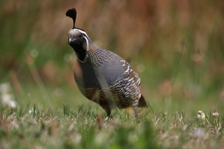
Callipepla californica
♥
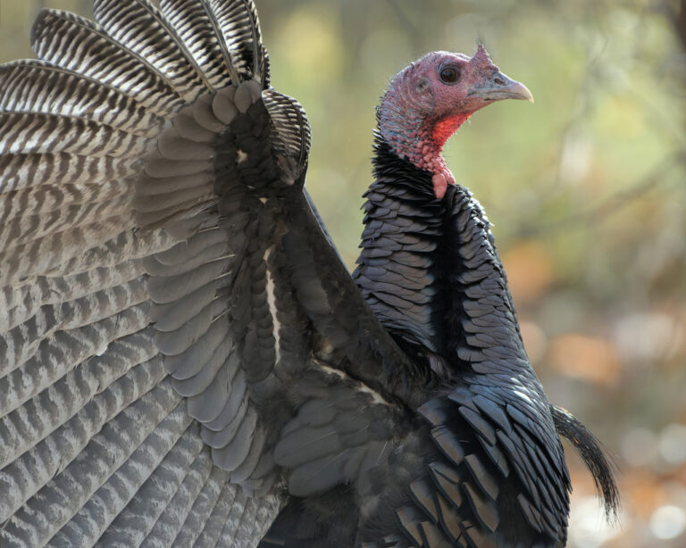
Meleagris gallopavo
♥
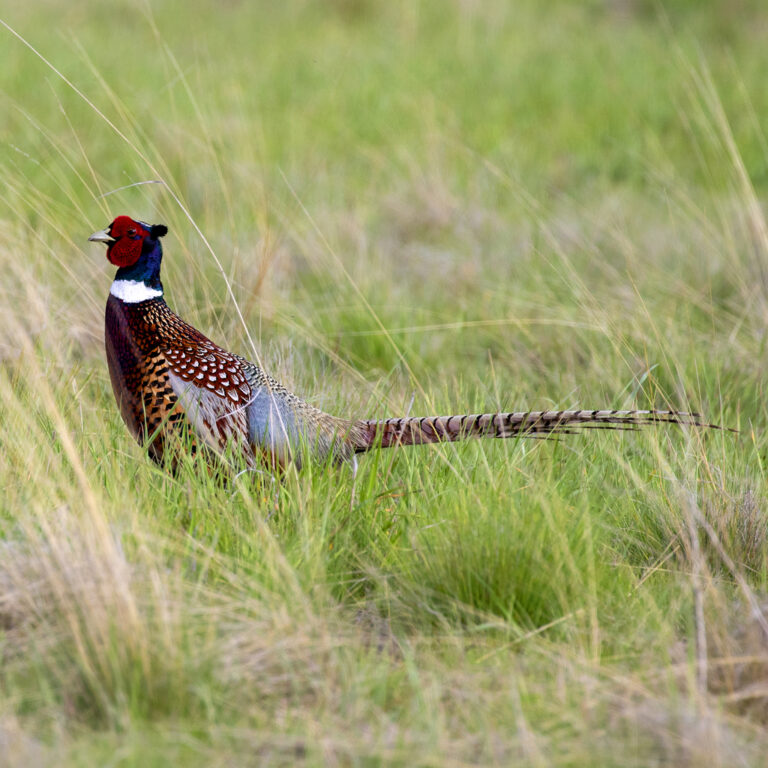
Phasianus colchicus
♥
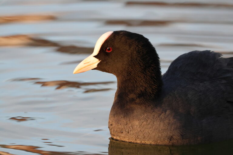
Fulica atra
♥
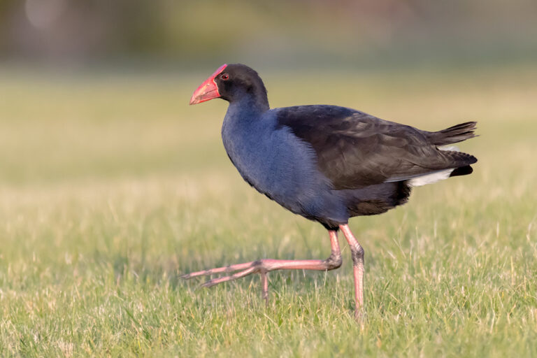
Porphyrio melanotus
♥
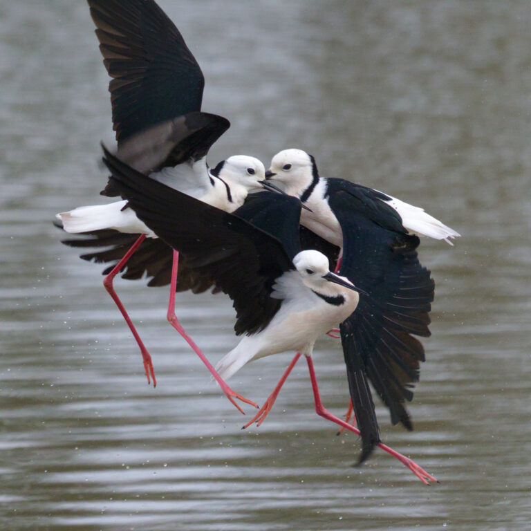
Himantopus leucocephalus
♥
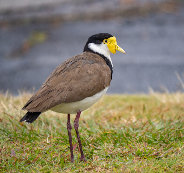
Vanellus miles
♥
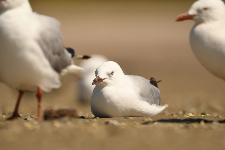
Chroicocephalus novaehollandiae
♥
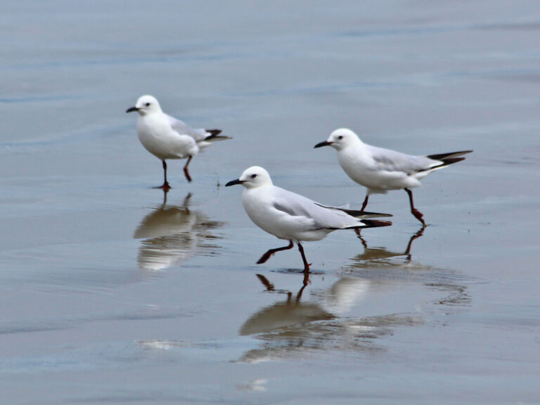
Chroicocephalus bulleri
♥
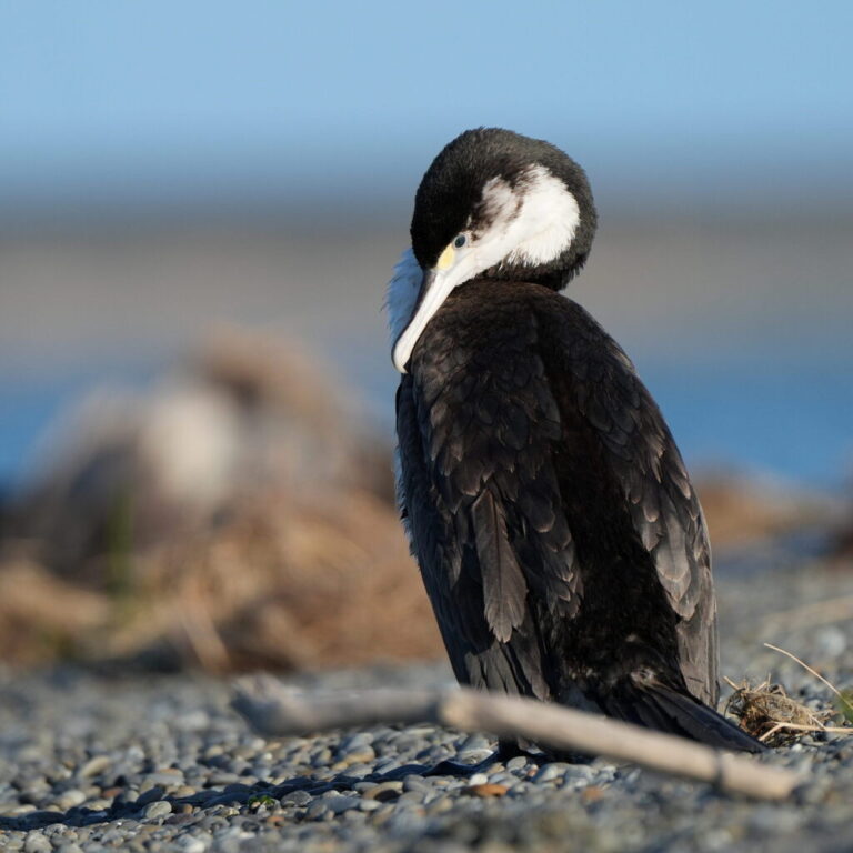
Phalacrocorax varius
♥

Phalacrocorax sulcirostris
♥
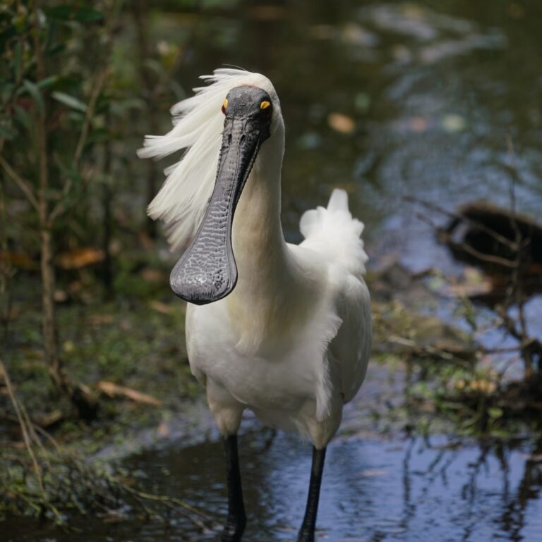
Platalea regia
♥
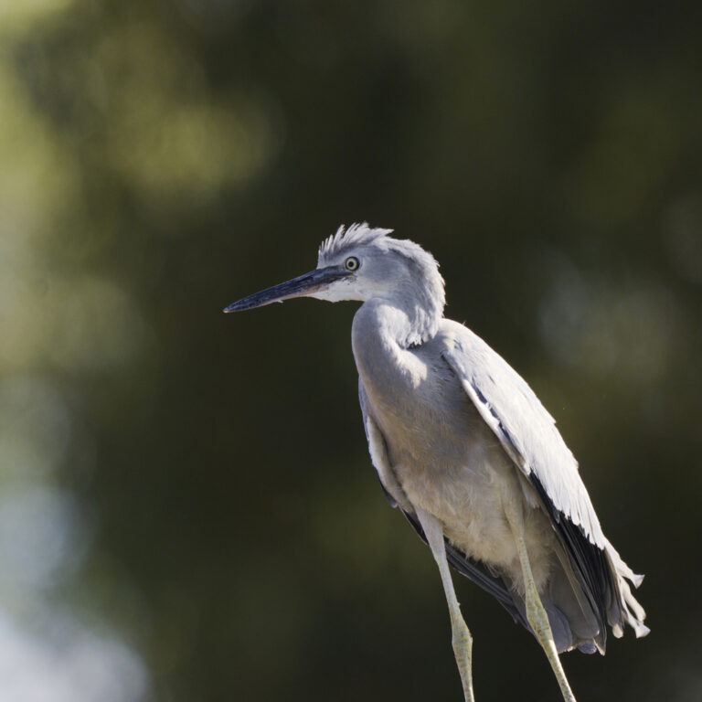
Egretta novaehollandiae
♥
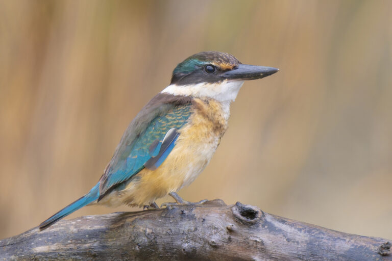
Todiramphus sanctus
♥
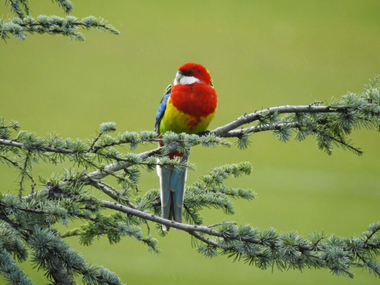
Platycercus eximius
♥
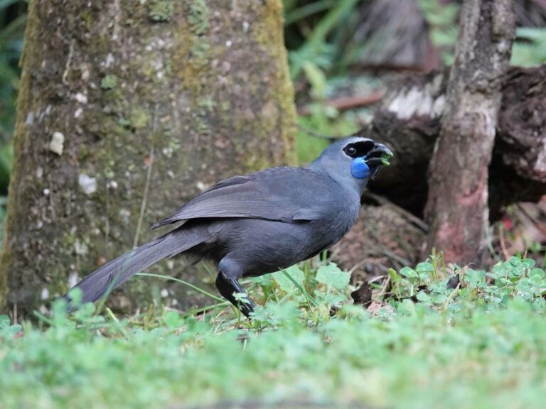
Callaeas wilsoni
♥
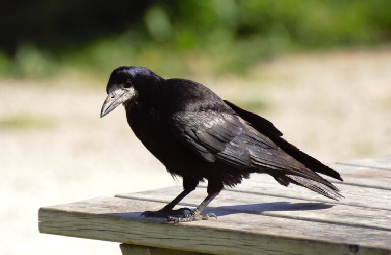
Corvus frugilegus
♥
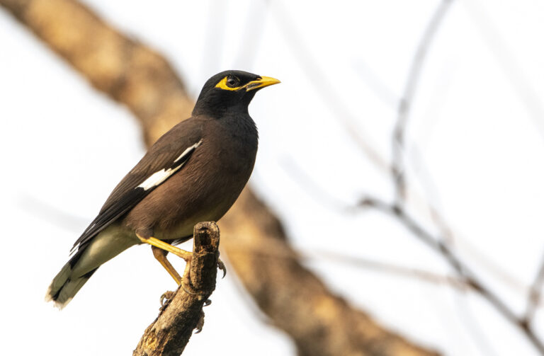
Acridotheres tristis
♥
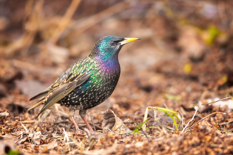
Sturnus vulgaris
♥
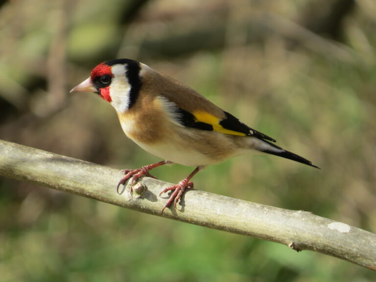
Carduelis carduelis
♥
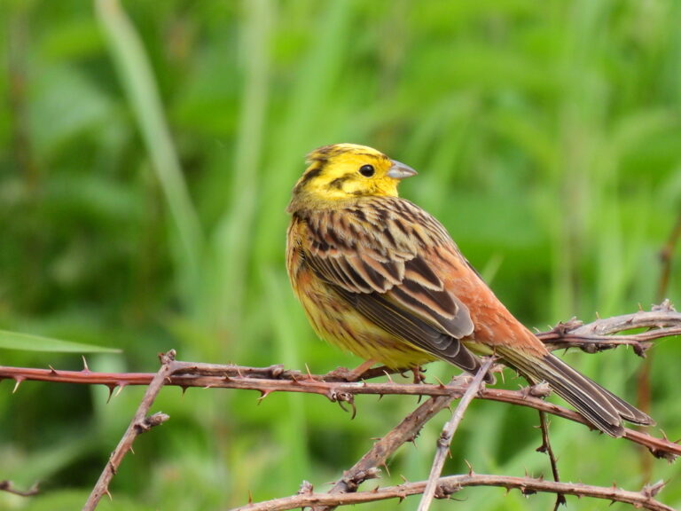
Emberiza citrinella
♥
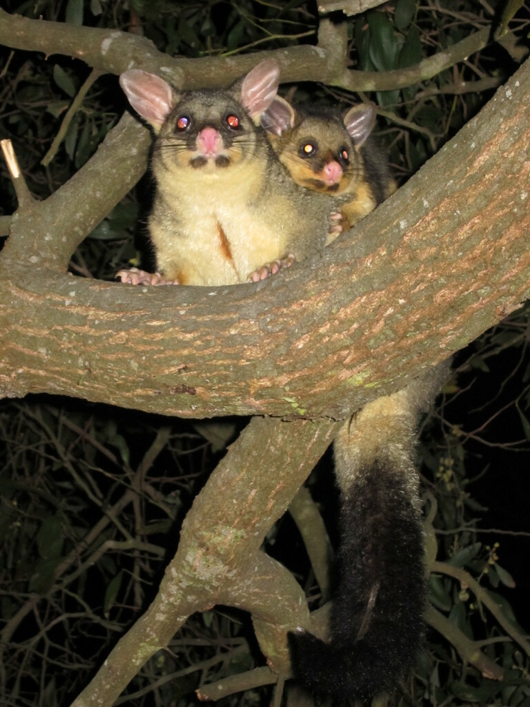
Trichosurus vulpecula
♥
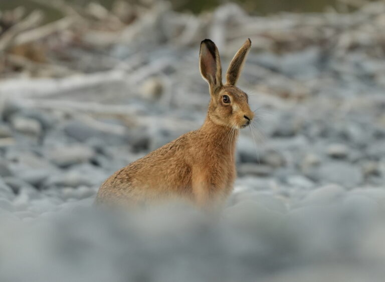
Lepus europaeus
♥
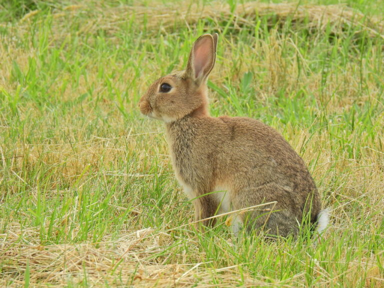
Oryctolagus cuniculus
♥
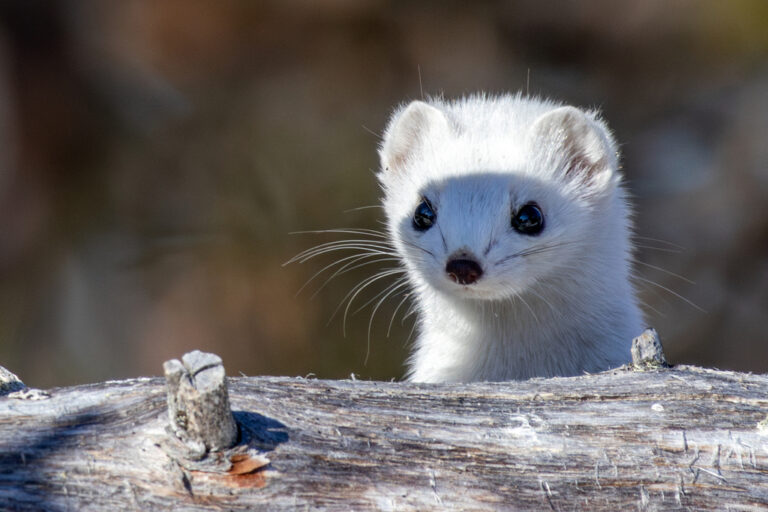
Mustela erminea
♥