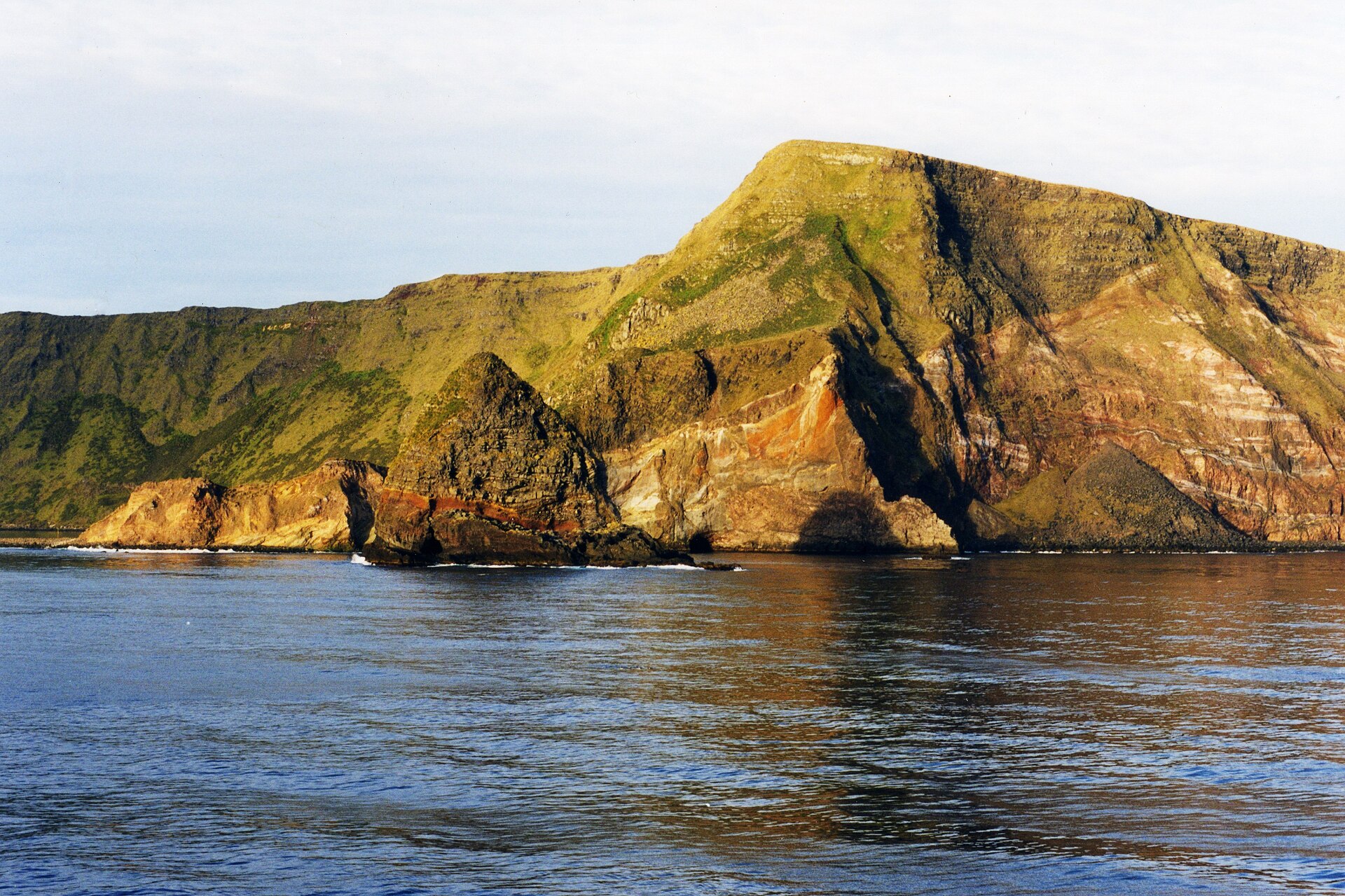
Average annual temperature
2.6 °C
Average of the twelve monthly means
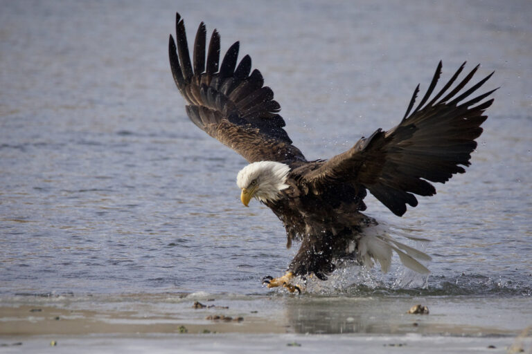
Haliaeetus leucocephalus
♥
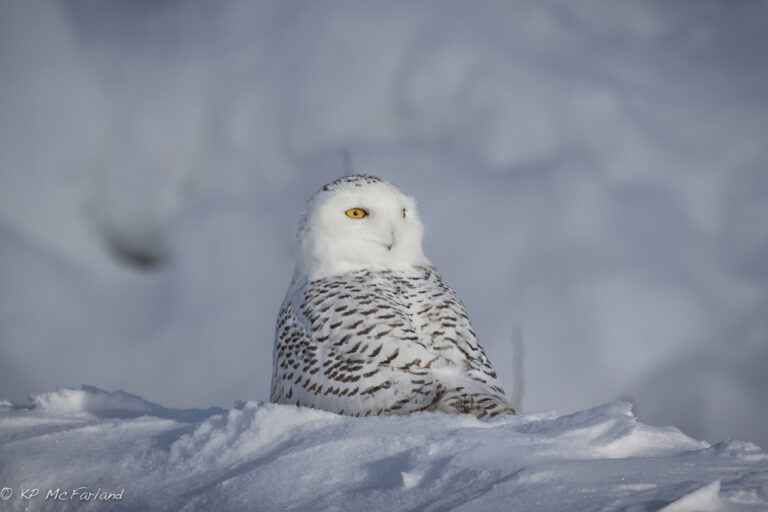
Bubo scandiacus
♥
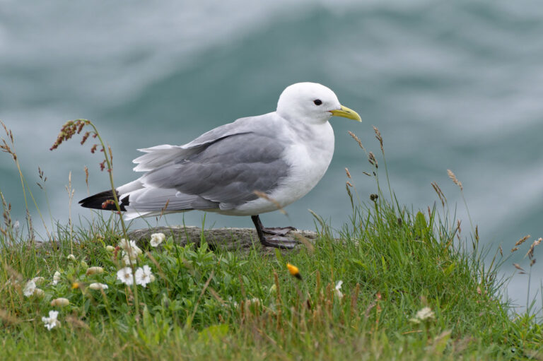
Rissa tridactyla
♥
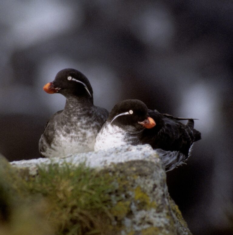
Aethia psittacula
♥
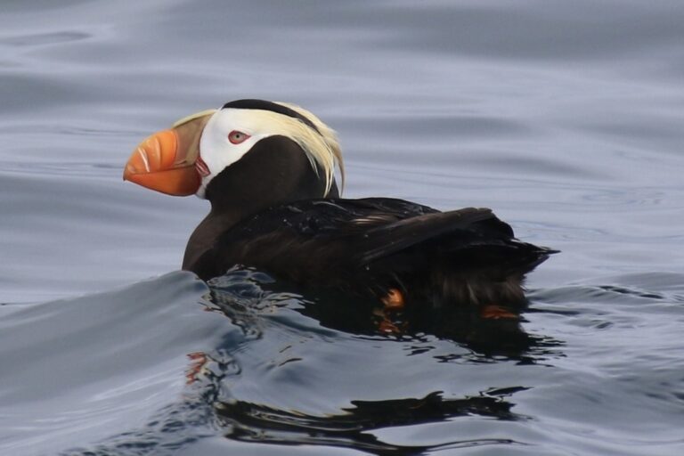
Fratercula cirrhata
♥
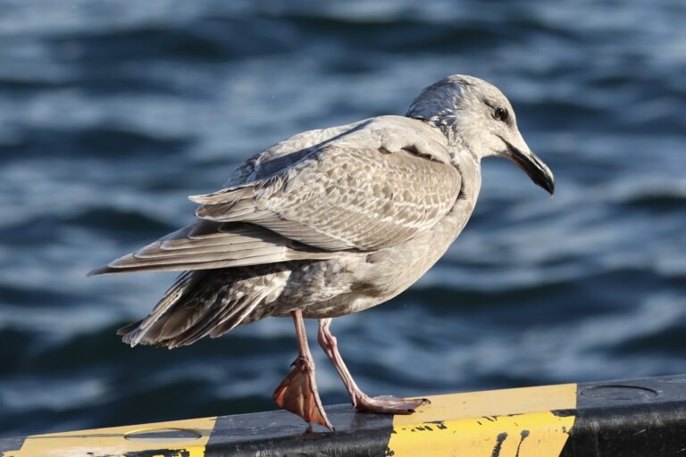
Larus glaucescens
♥
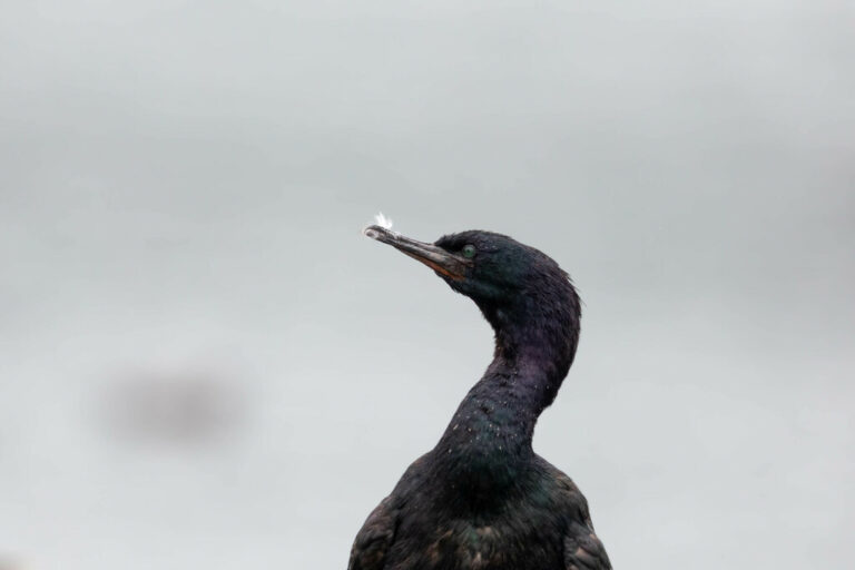
Urile pelagicus
♥
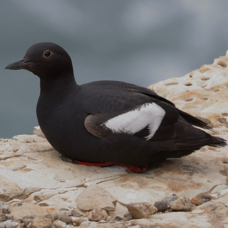
Cepphus columba
♥
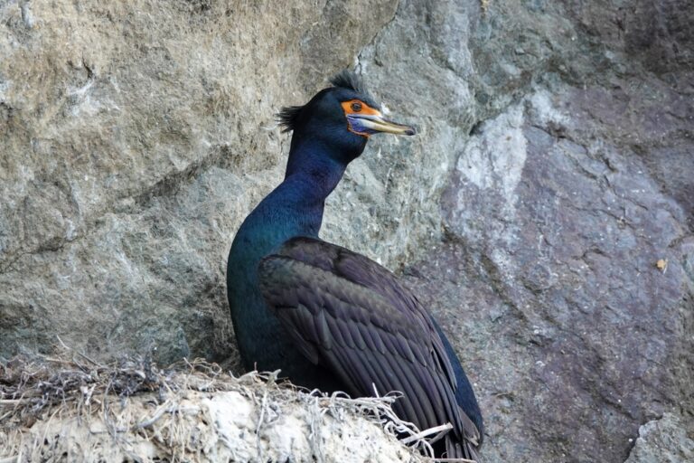
Urile urile
♥
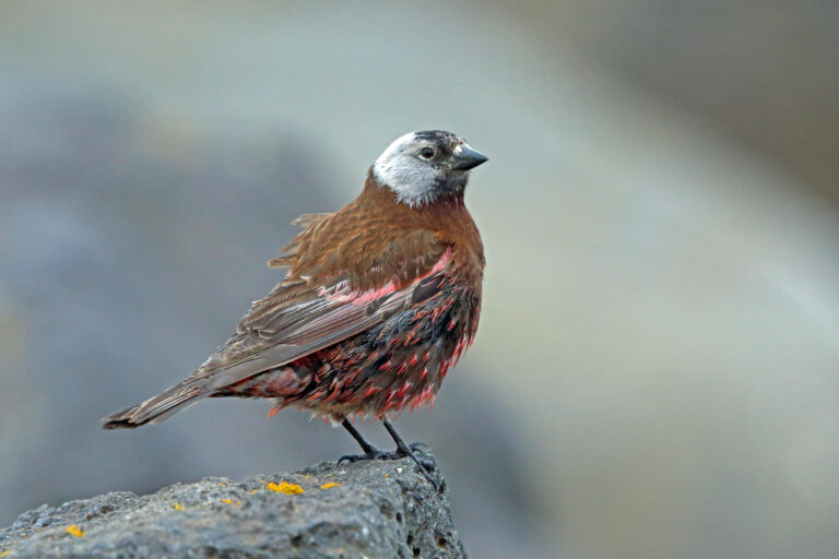
Leucosticte tephrocotis
♥
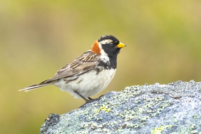
Calcarius lapponicus
♥
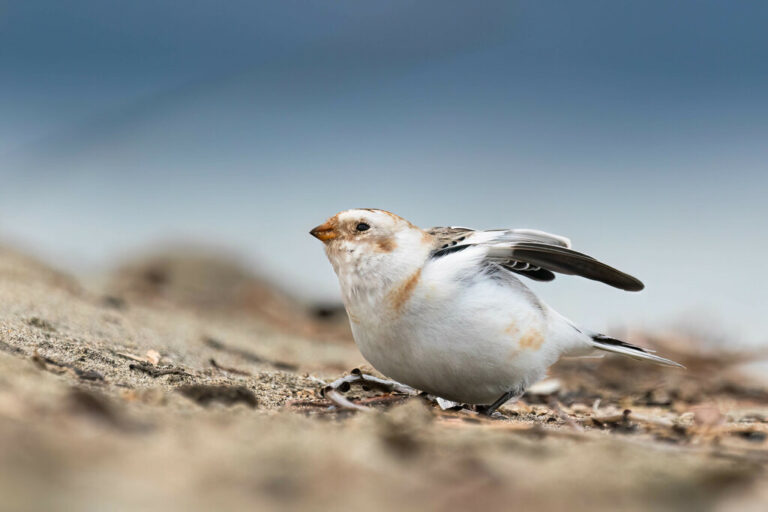
Plectrophenax nivalis
♥
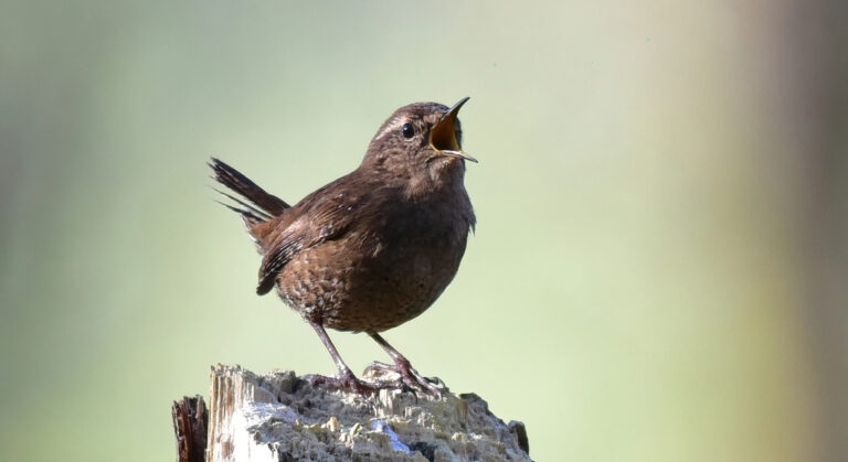
Troglodytes pacificus
♥
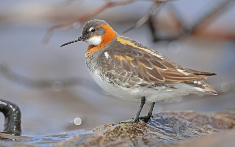
Phalaropus lobatus
♥
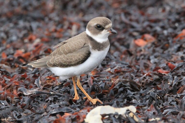
Charadrius semipalmatus
♥
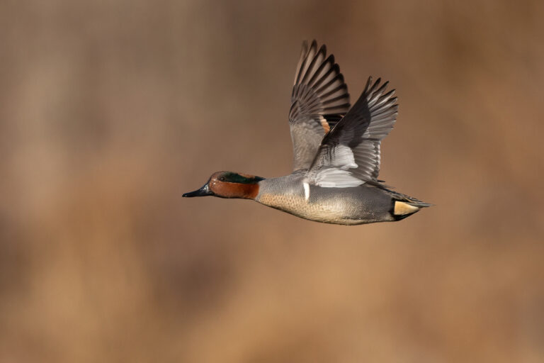
Anas crecca
♥
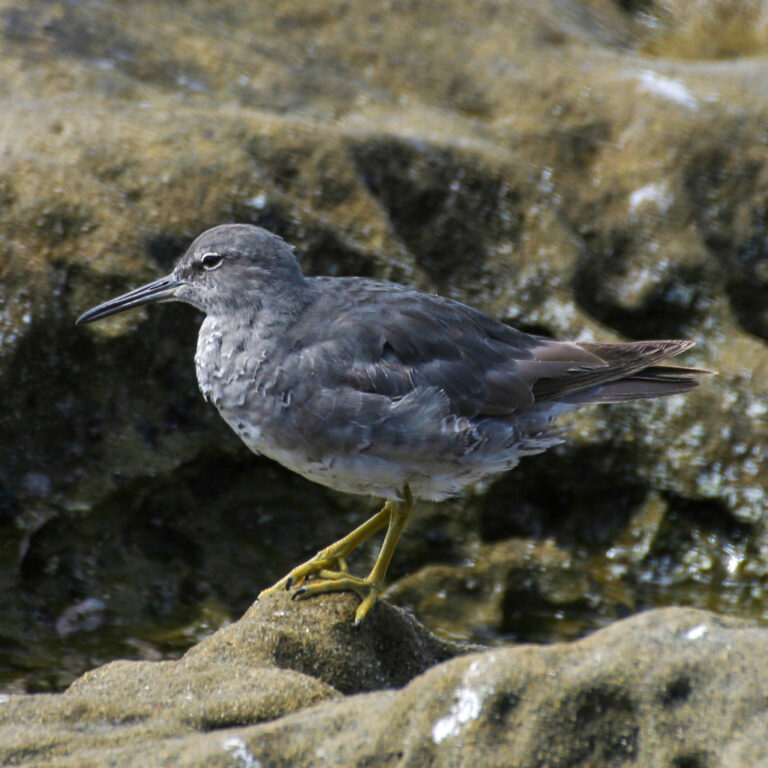
Tringa incana
♥
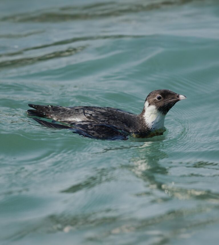
Synthliboramphus antiquus
♥
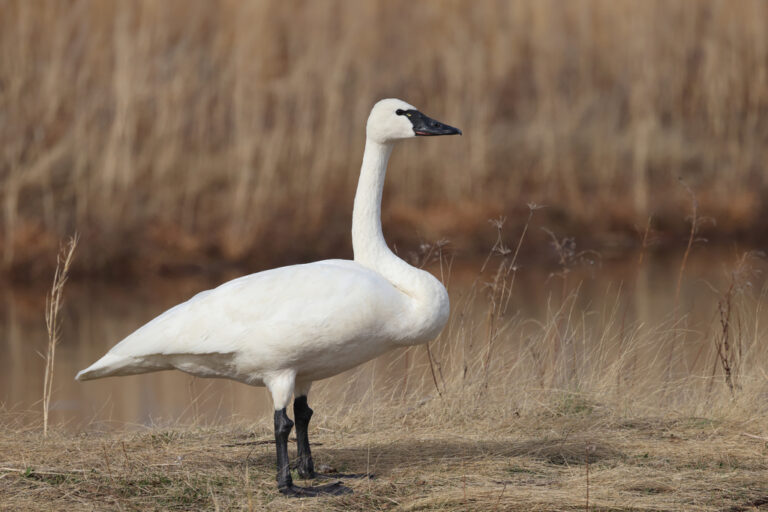
Cygnus columbianus
♥
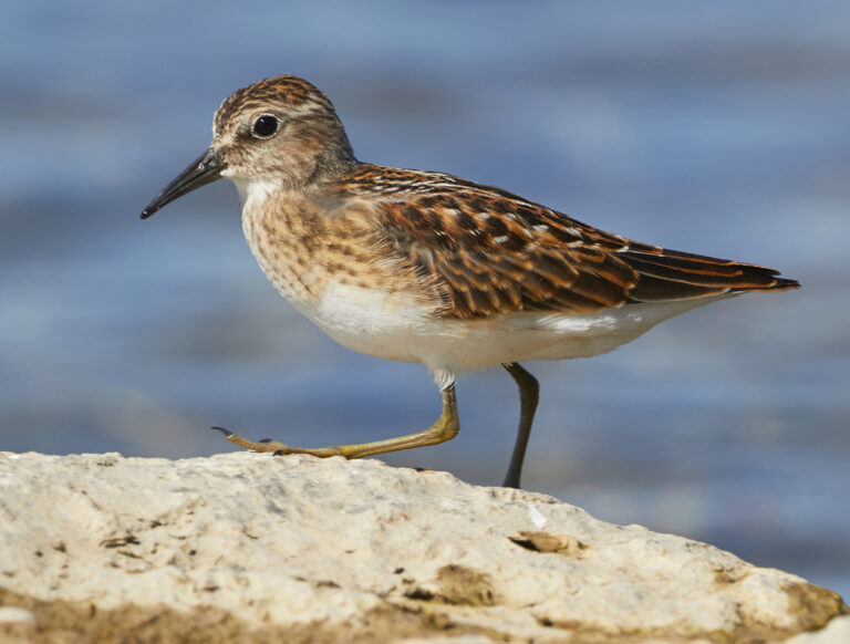
Calidris minutilla
♥
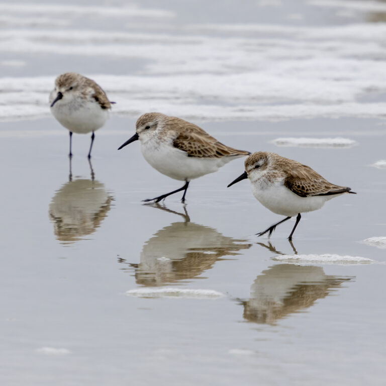
Calidris mauri
♥
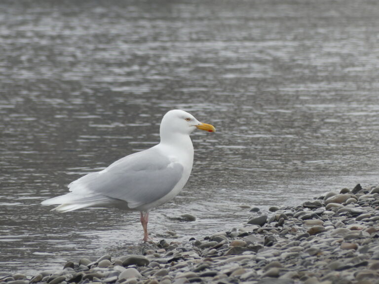
Larus hyperboreus
♥
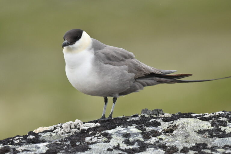
Stercorarius longicaudus
♥
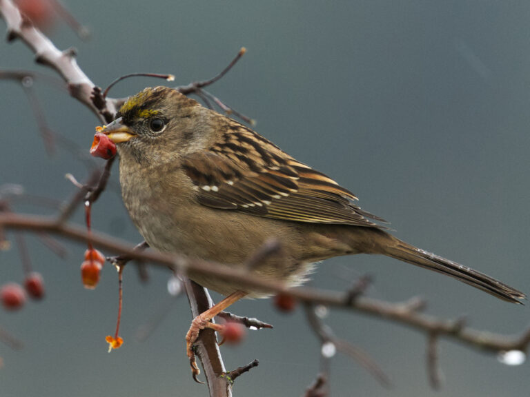
Zonotrichia atricapilla
♥
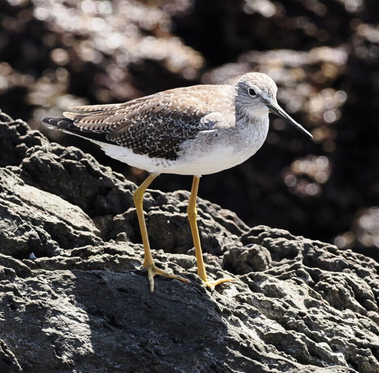
Tringa melanoleuca
♥
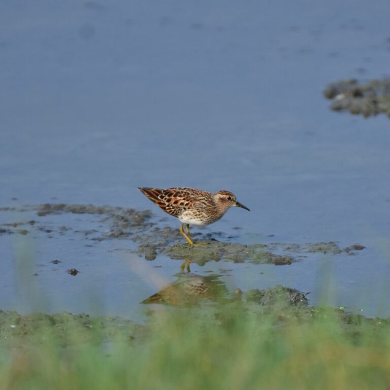
Calidris subminuta
♥
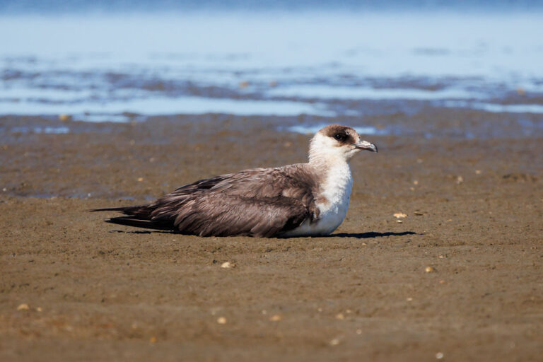
Stercorarius parasiticus
♥
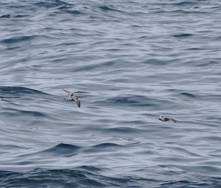
Hydrobates furcatus
♥
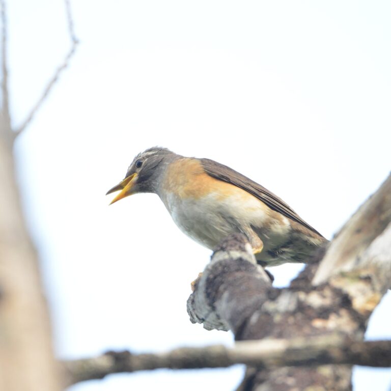
Turdus obscurus
♥
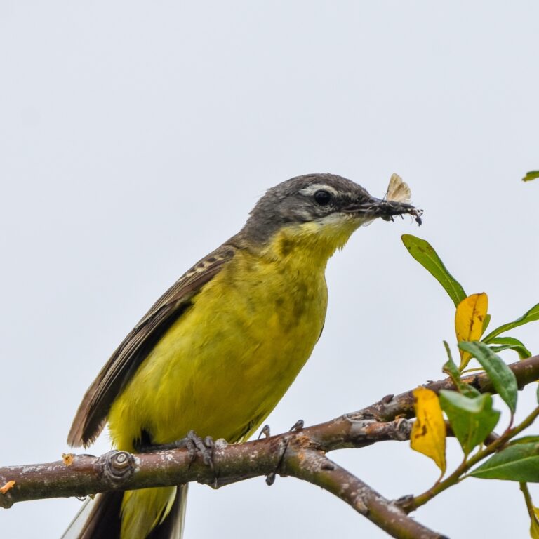
Motacilla tschutschensis
♥
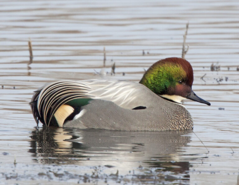
Mareca falcata
♥
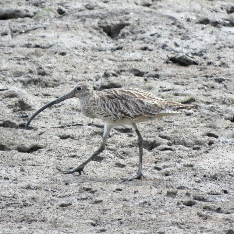
Numenius madagascariensis
♥
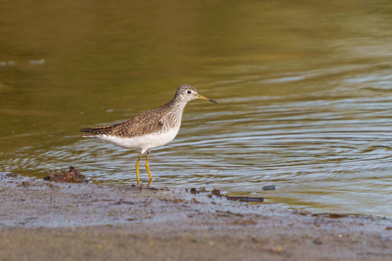
Tringa solitaria
♥
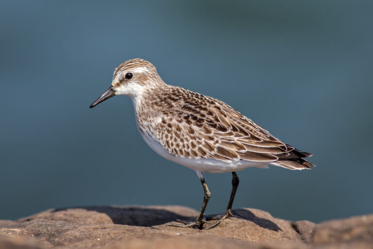
Calidris pusilla
♥
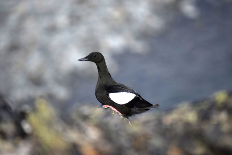
Cepphus grylle
♥
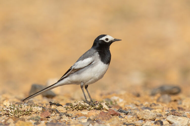
Motacilla alba
♥
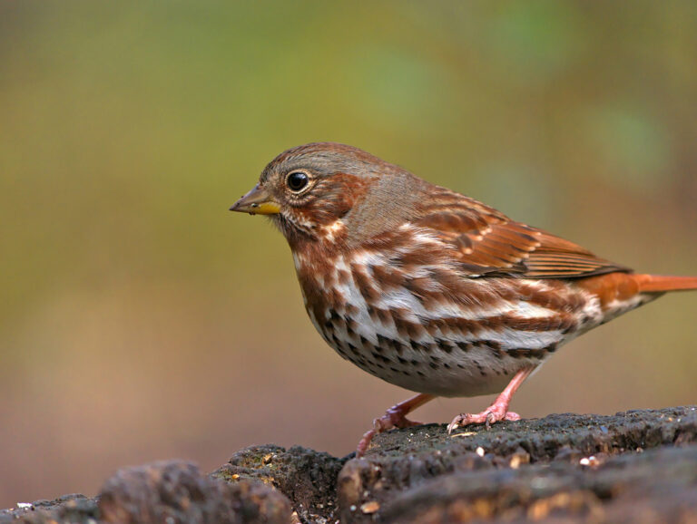
Passerella iliaca
♥
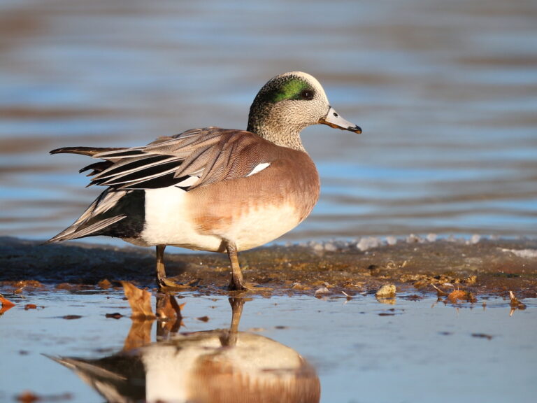
Mareca americana
♥
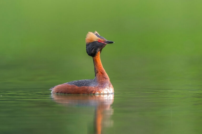
Podiceps auritus
♥
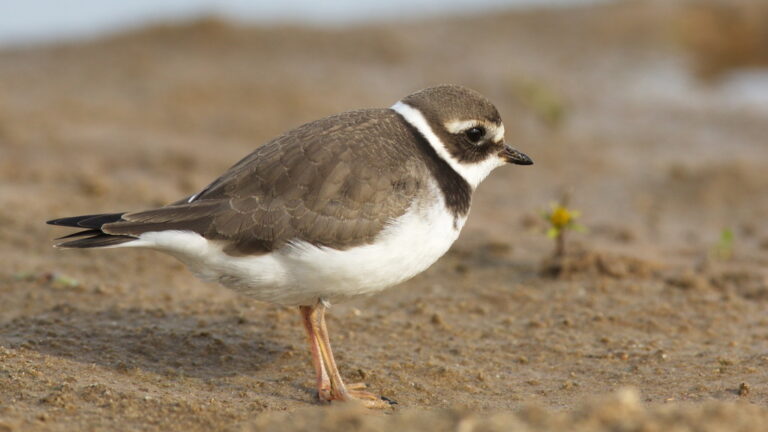
Charadrius hiaticula
♥
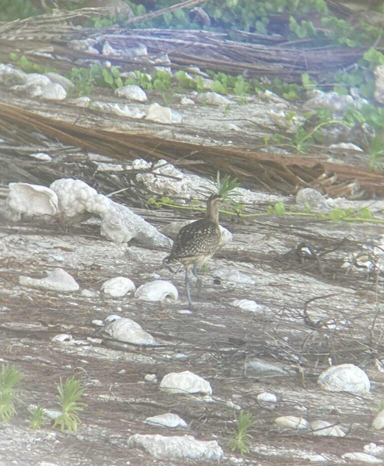
Numenius tahitiensis
♥
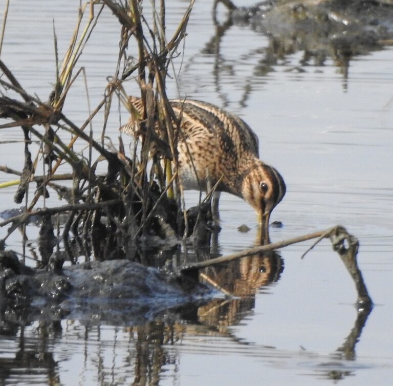
Gallinago stenura
♥
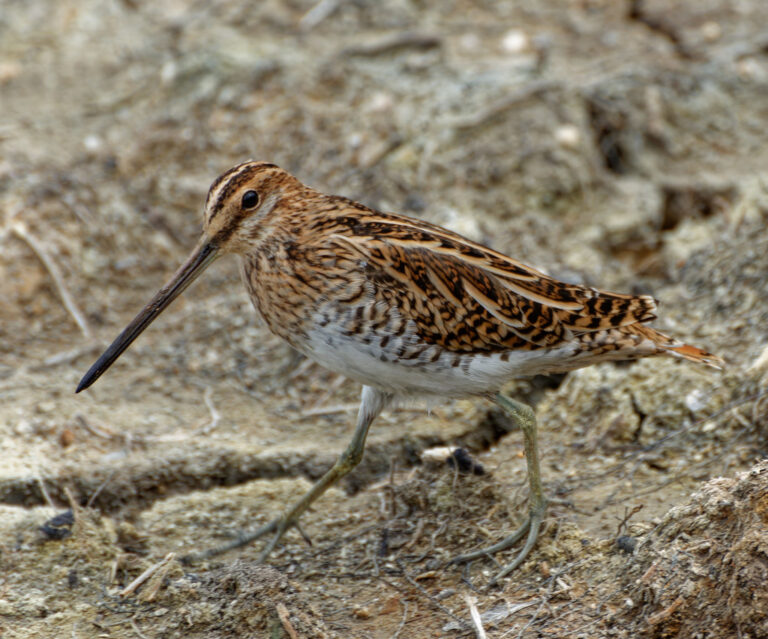
Gallinago gallinago
♥
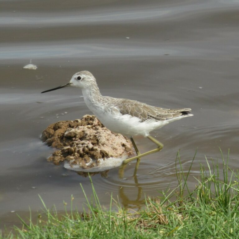
Tringa stagnatilis
♥
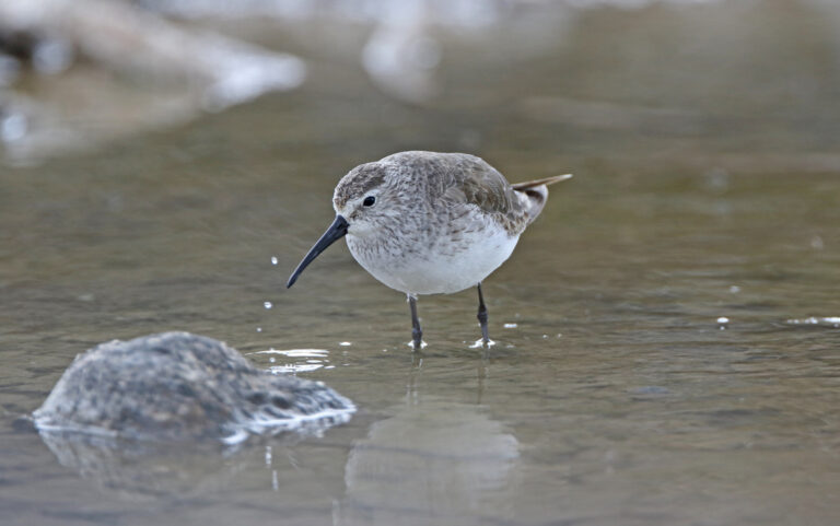
Calidris ferruginea
♥
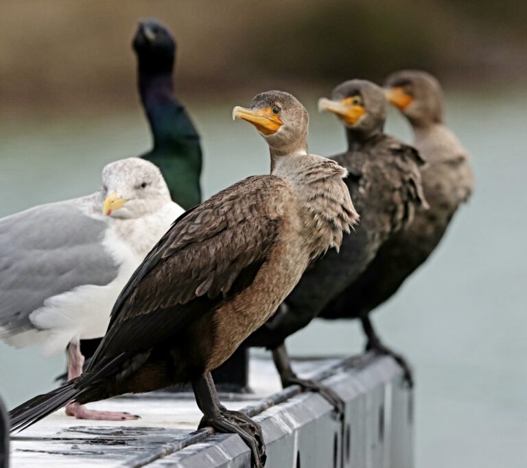
Nannopterum auritum
♥
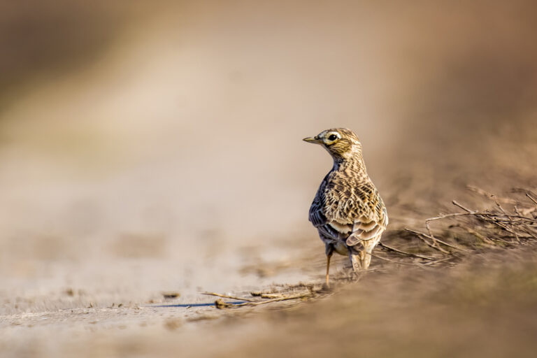
Alauda arvensis
♥
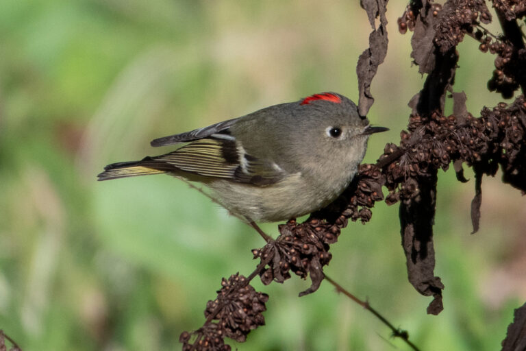
Corthylio calendula
♥
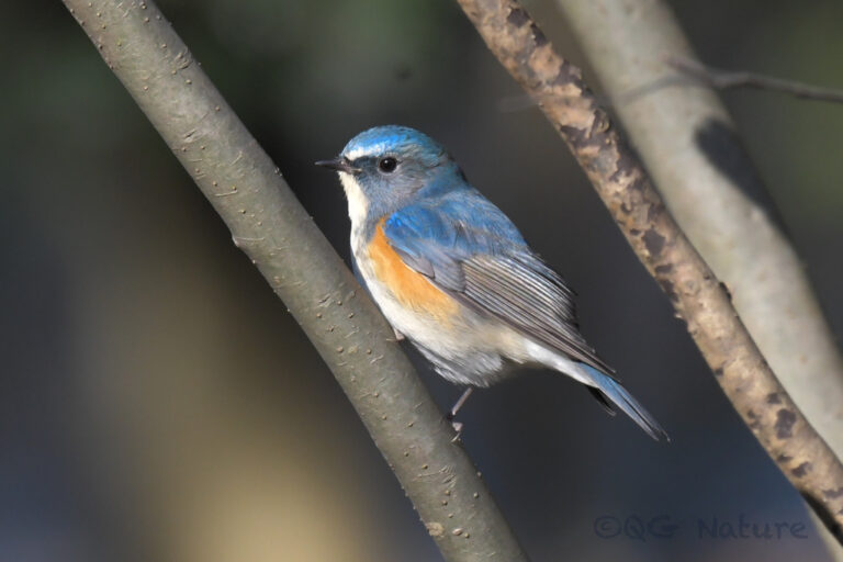
Tarsiger cyanurus
♥
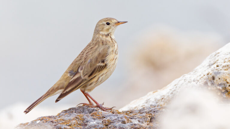
Anthus rubescens
♥
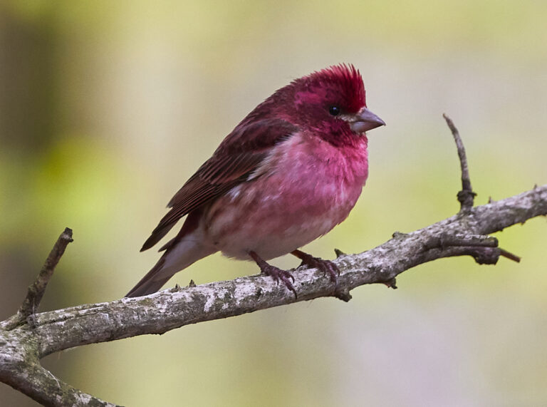
Haemorhous purpureus
♥
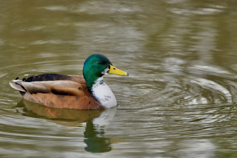
Anas platyrhynchos
♥
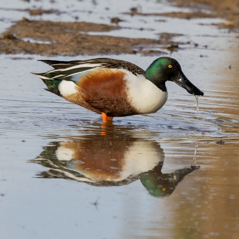
Spatula clypeata
♥
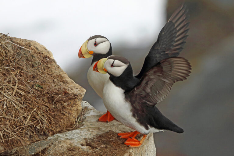
Fratercula corniculata
♥
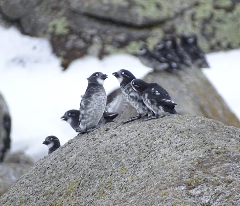
Aethia pusilla
♥
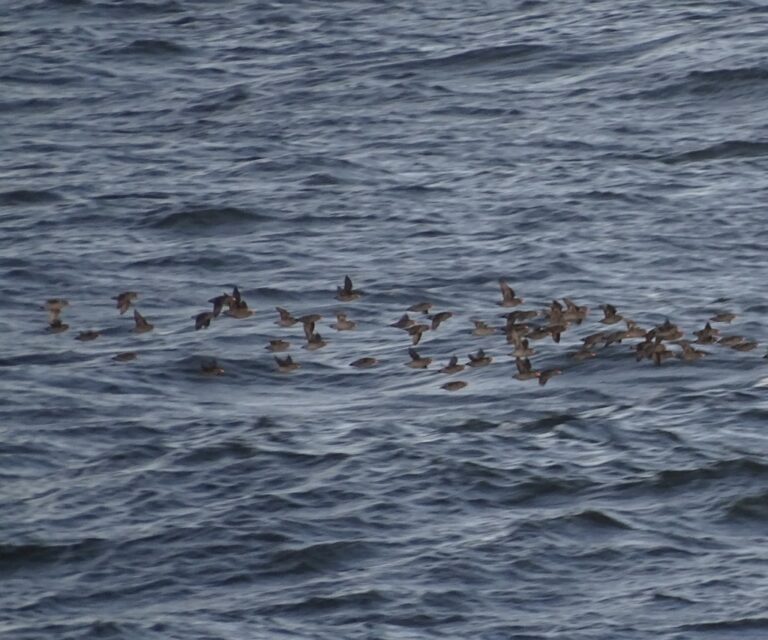
Aethia cristatella
♥
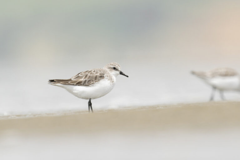
Calidris ruficollis
♥
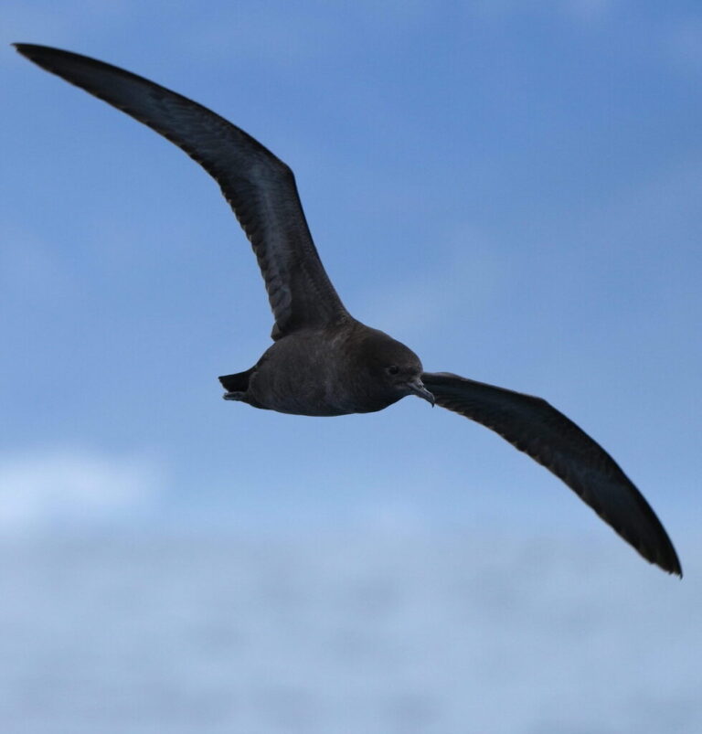
Ardenna tenuirostris
♥
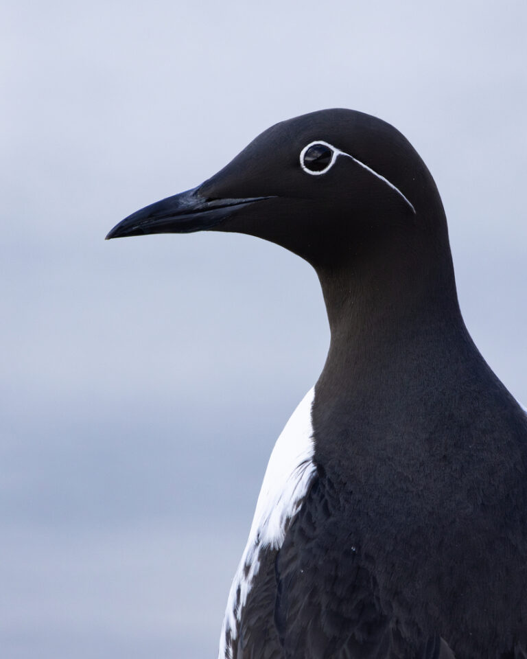
Uria aalge
♥
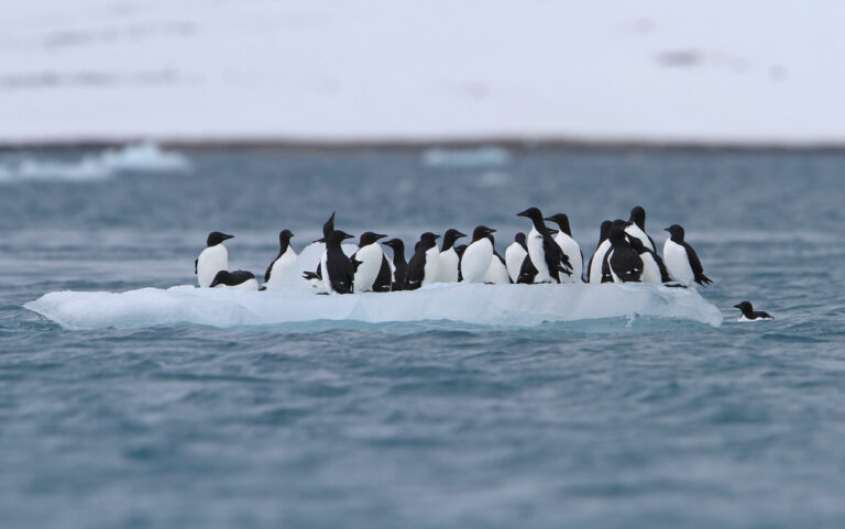
Uria lomvia
♥
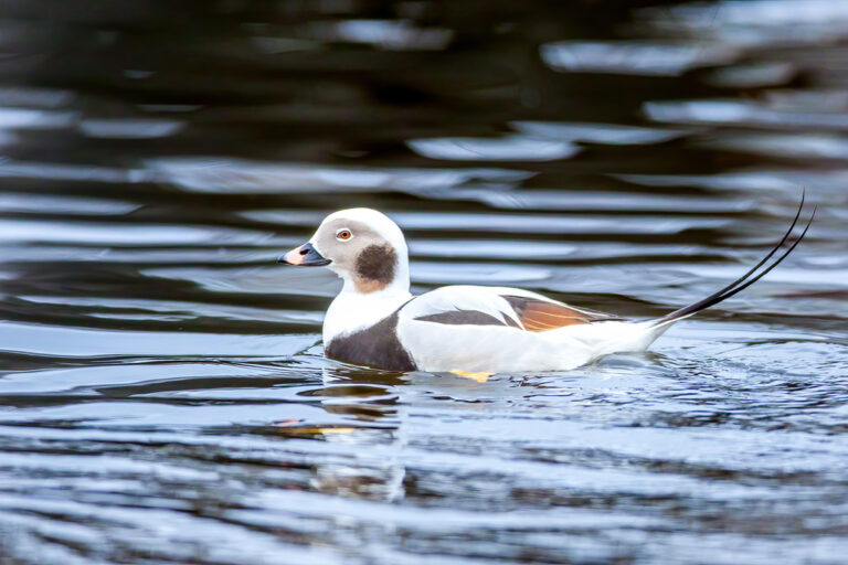
Clangula hyemalis
♥
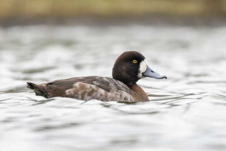
Aythya marila
♥
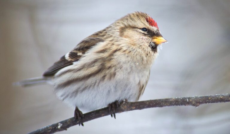
Acanthis flammea
♥
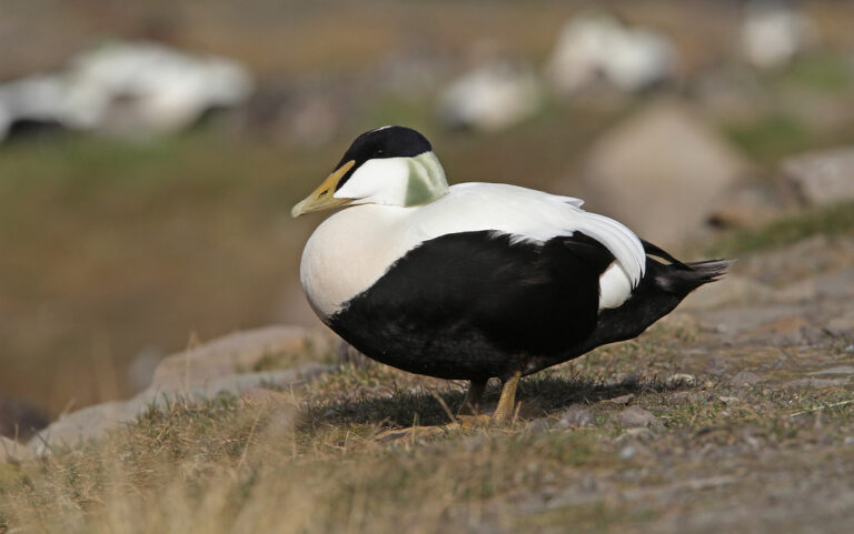
Somateria mollissima
♥
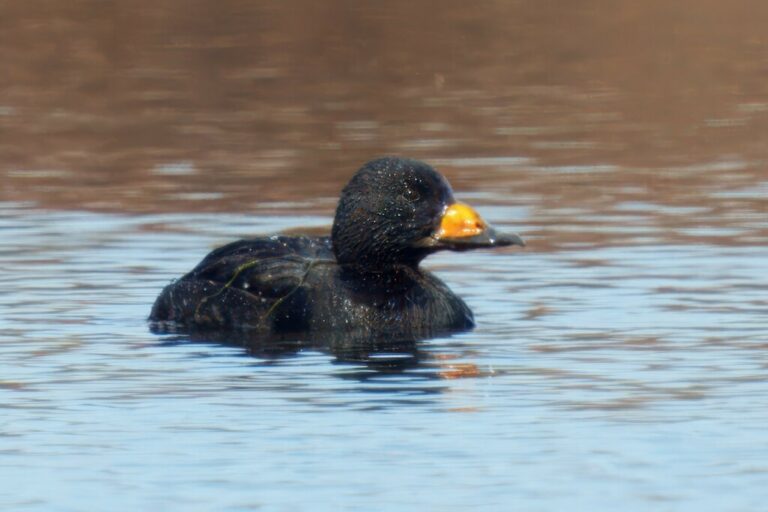
Melanitta americana
♥
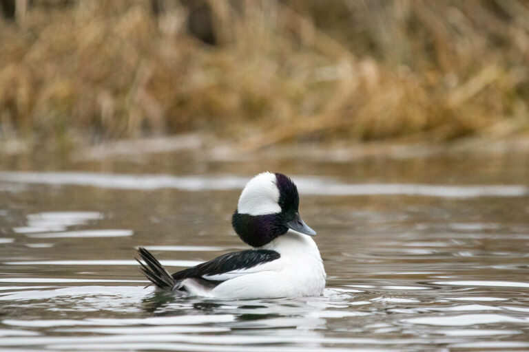
Bucephala albeola
♥
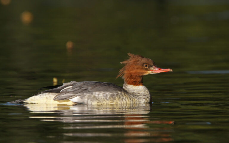
Mergus merganser
♥
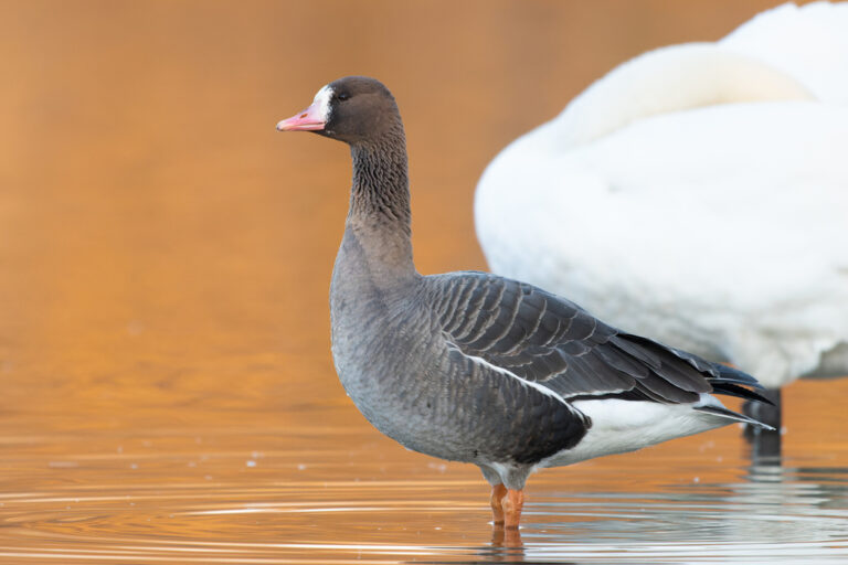
Anser albifrons
♥
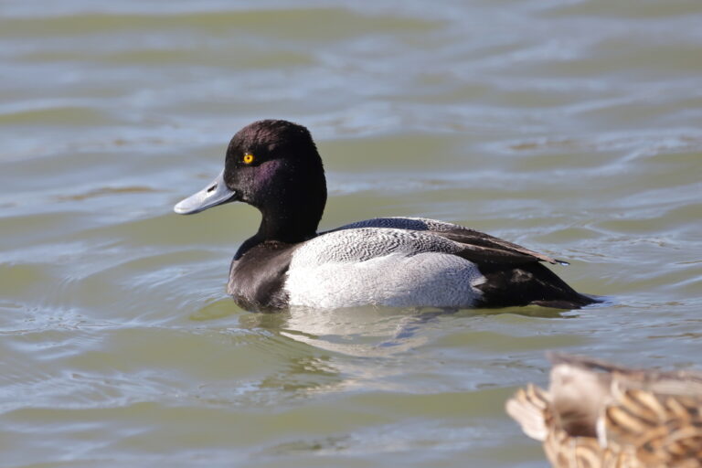
Aythya affinis
♥
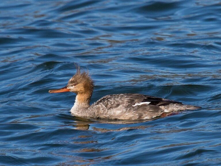
Mergus serrator
♥
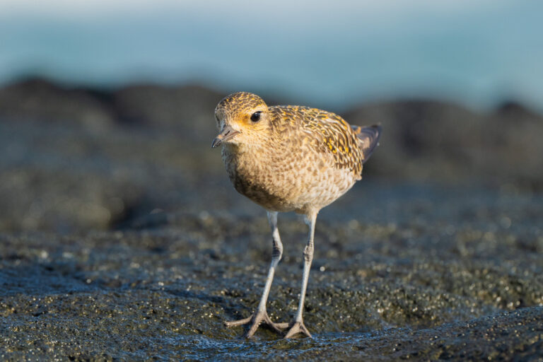
Pluvialis fulva
♥
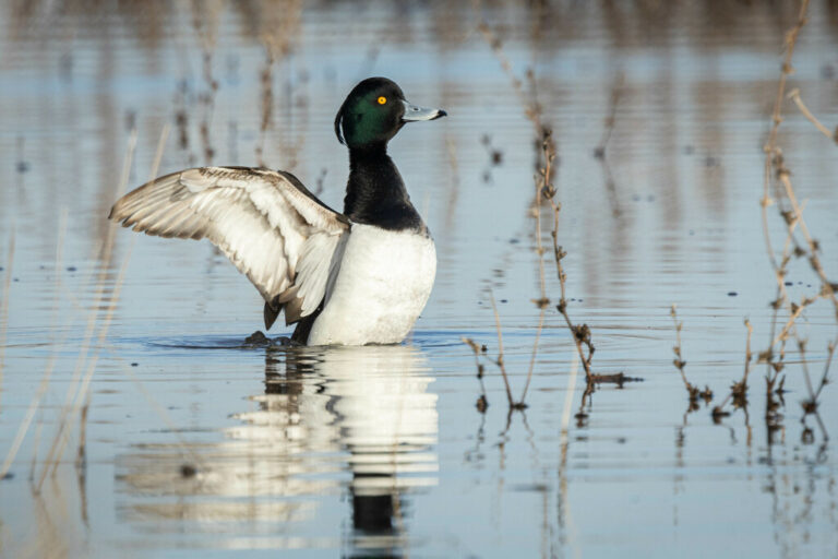
Aythya fuligula
♥
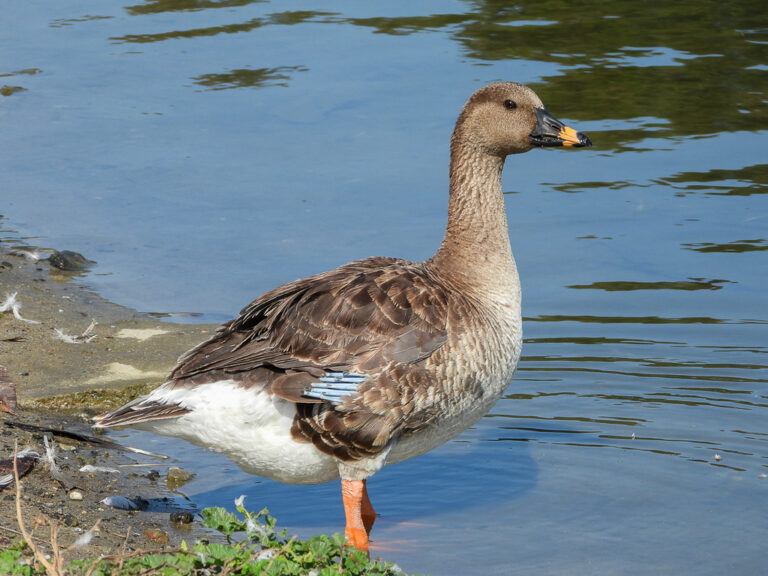
Anser serrirostris
♥
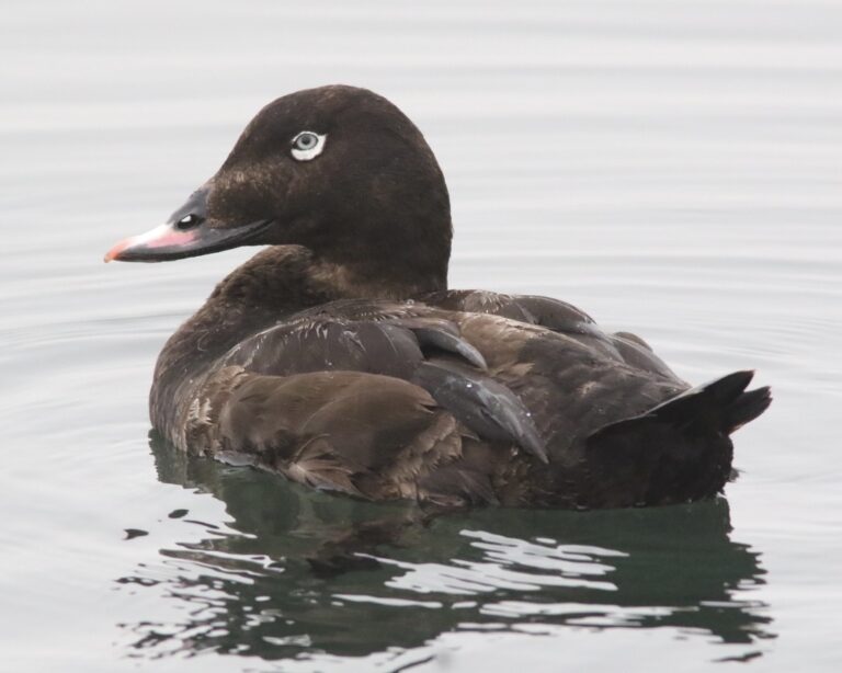
Melanitta deglandi
♥
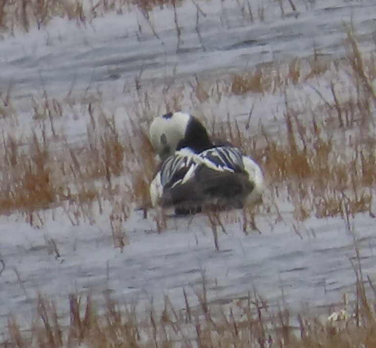
Polysticta stelleri
♥
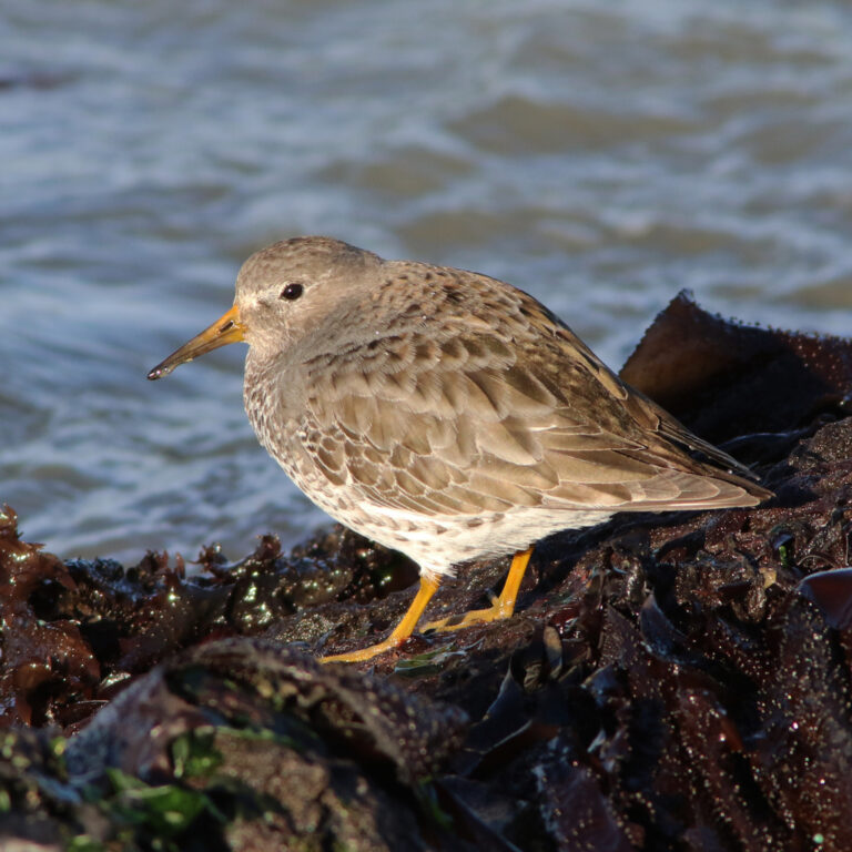
Calidris ptilocnemis
♥
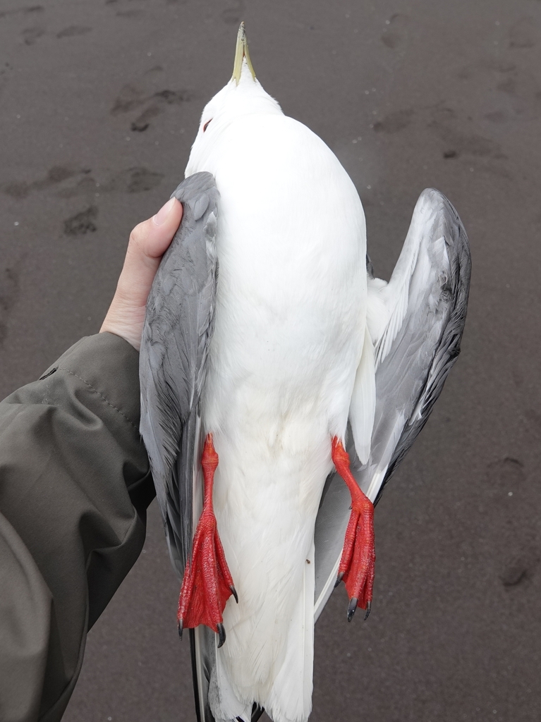
Rissa brevirostris
♥
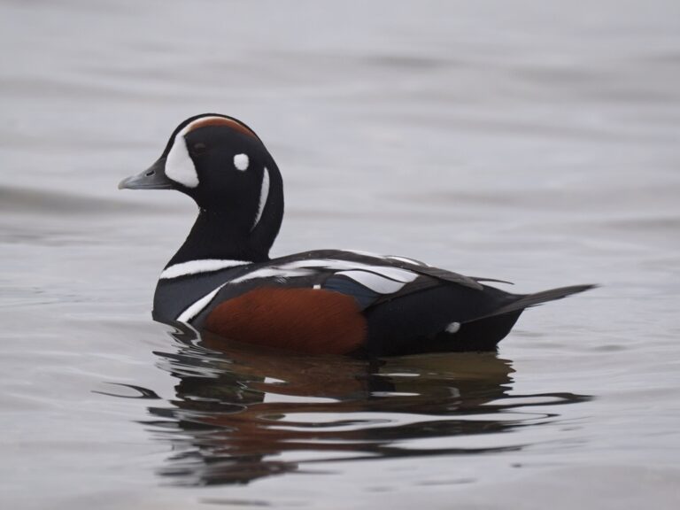
Histrionicus histrionicus
♥
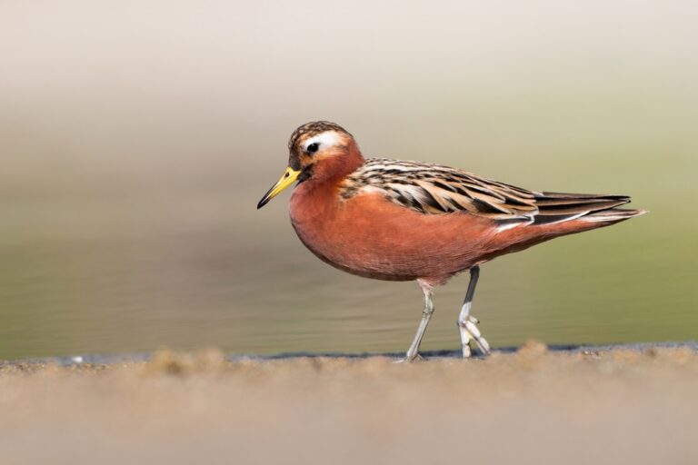
Phalaropus fulicarius
♥
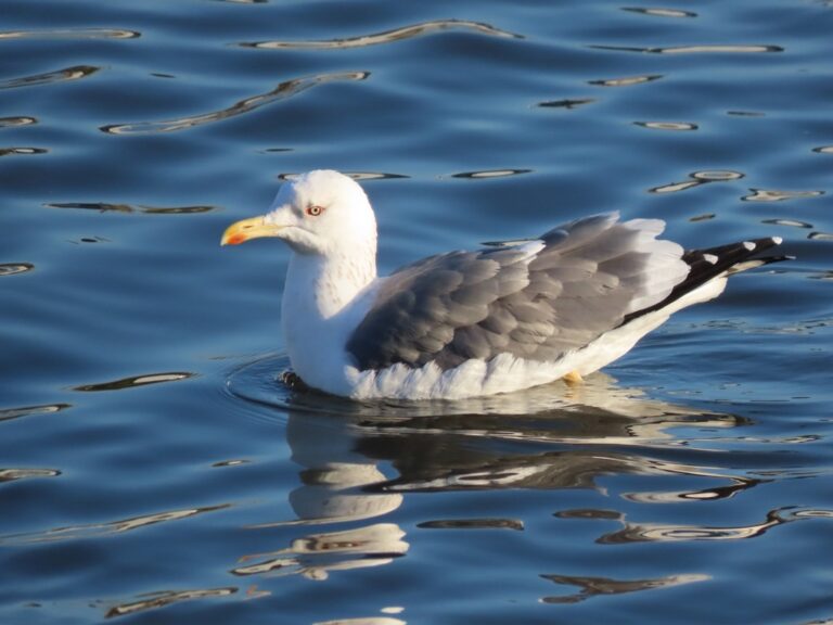
Larus schistisagus
♥
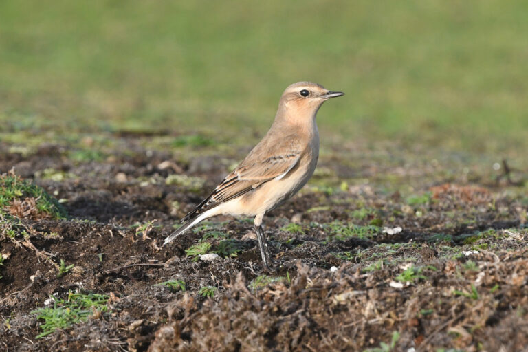
Oenanthe oenanthe
♥
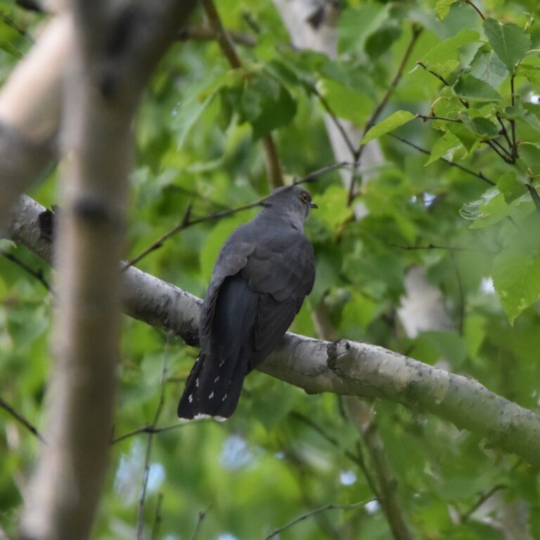
Cuculus optatus
♥
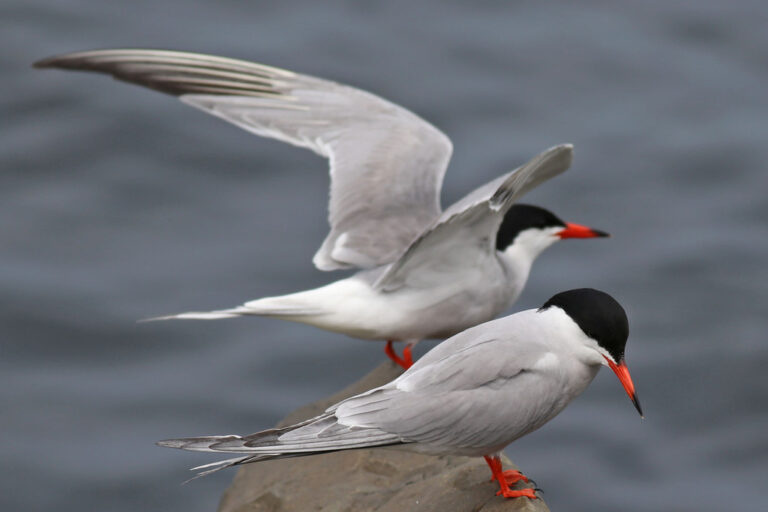
Sterna hirundo
♥
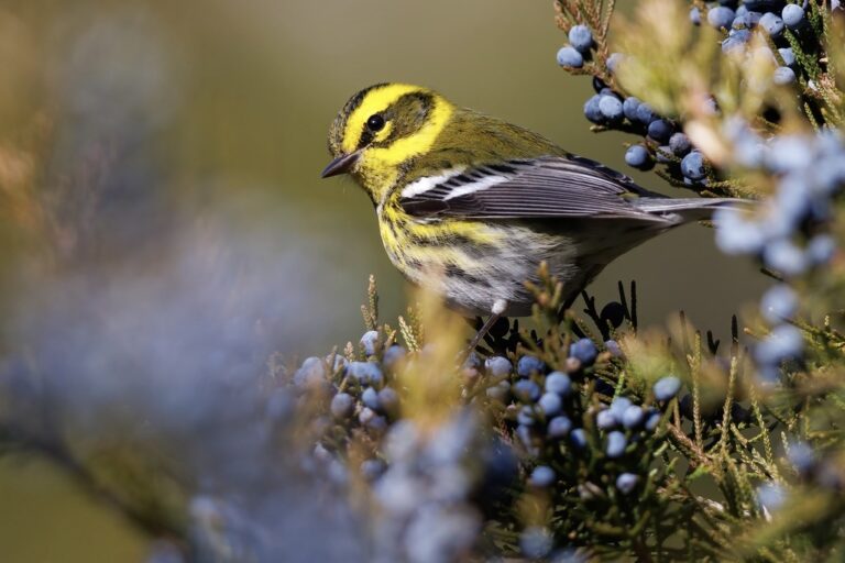
Setophaga townsendi
♥
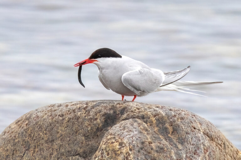
Sterna paradisaea
♥
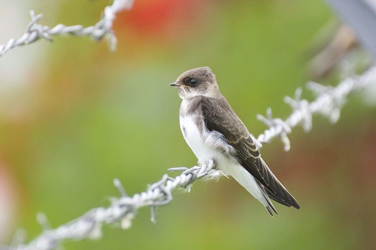
Riparia riparia
♥
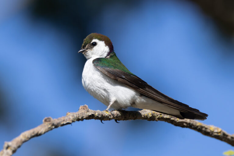
Tachycineta thalassina
♥
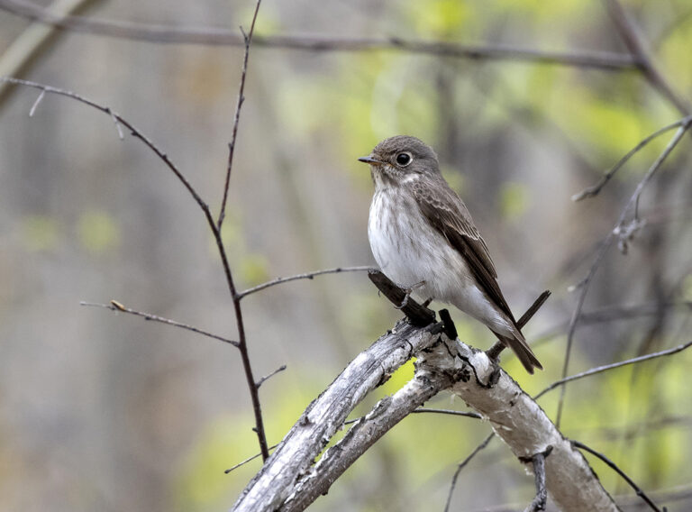
Muscicapa sibirica
♥
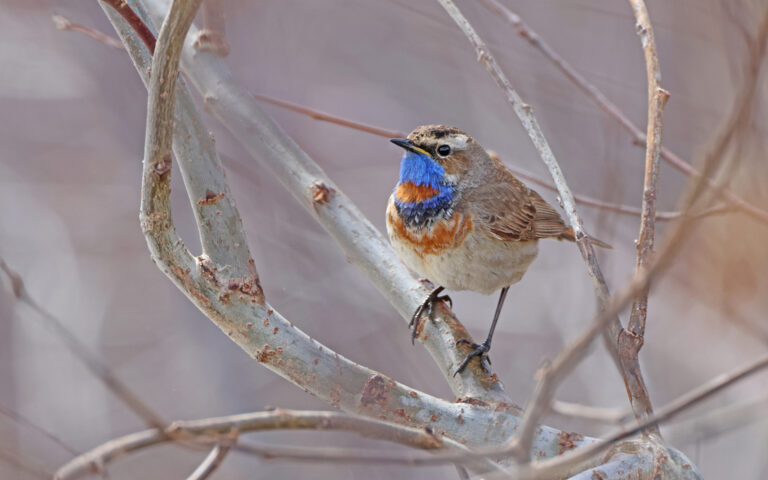
Luscinia svecica
♥
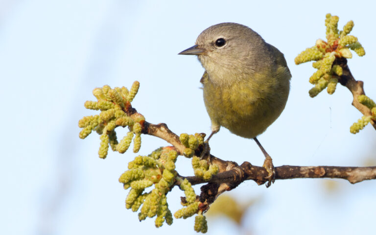
Leiothlypis celata
♥
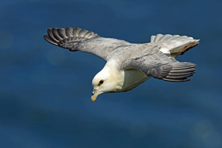
Fulmarus glacialis
♥
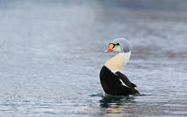
Somateria spectabilis
♥
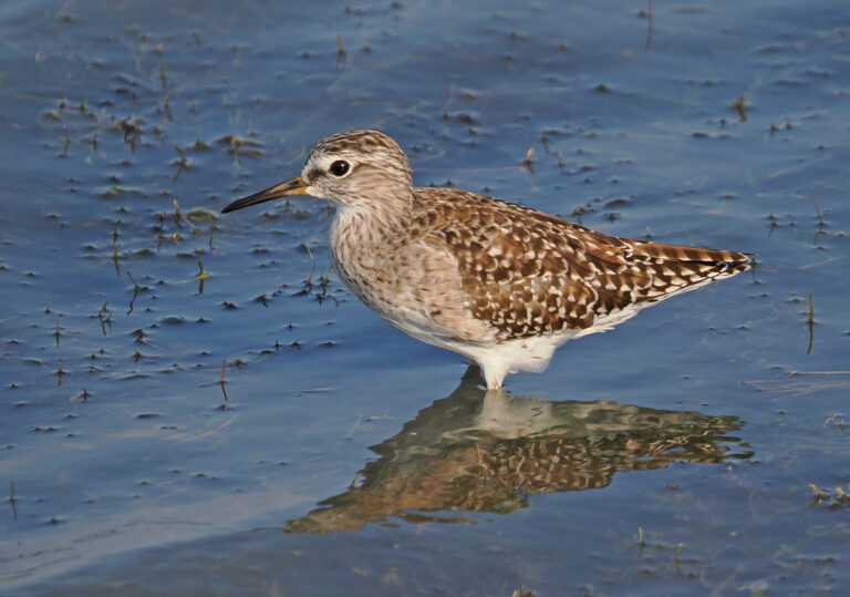
Tringa glareola
♥
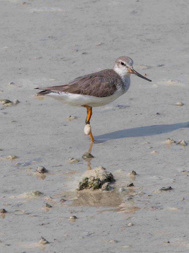
Xenus cinereus
♥
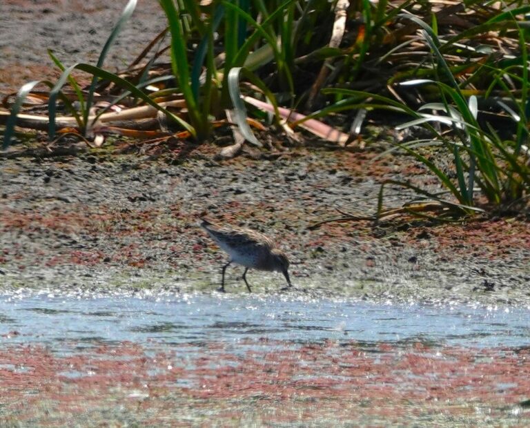
Calidris acuminata
♥
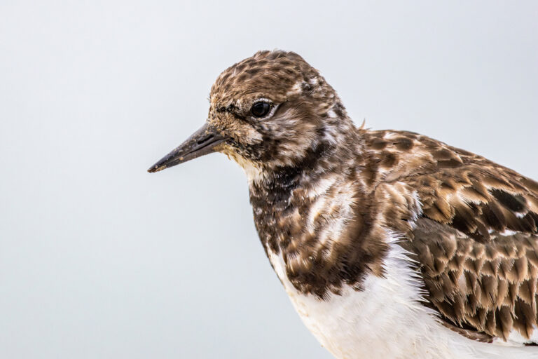
Arenaria interpres
♥
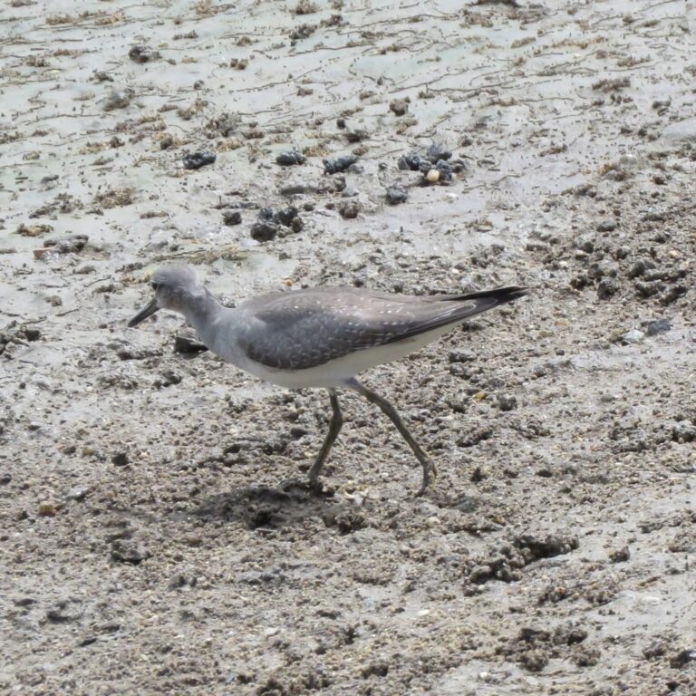
Tringa brevipes
♥
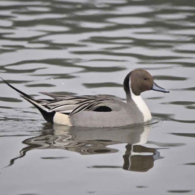
Anas acuta
♥
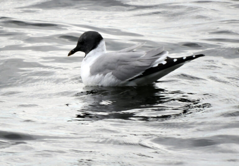
Xema sabini
♥
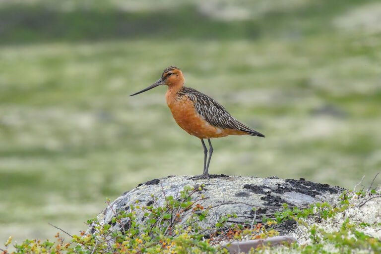
Limosa lapponica
♥
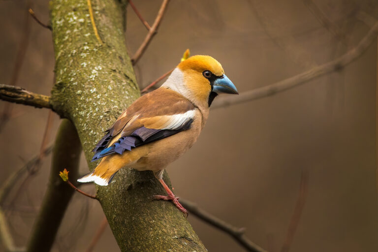
Coccothraustes coccothraustes
♥
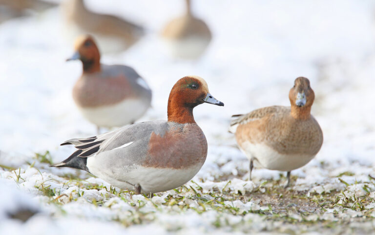
Mareca penelope
♥
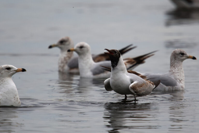
Chroicocephalus ridibundus
♥
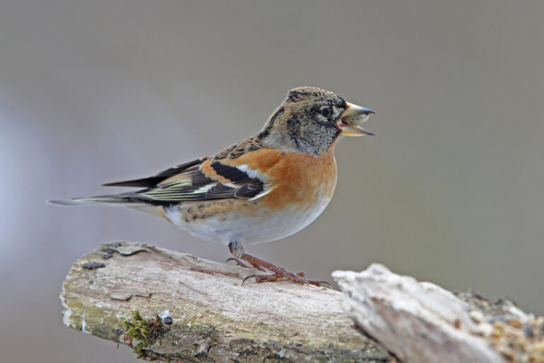
Fringilla montifringilla
♥
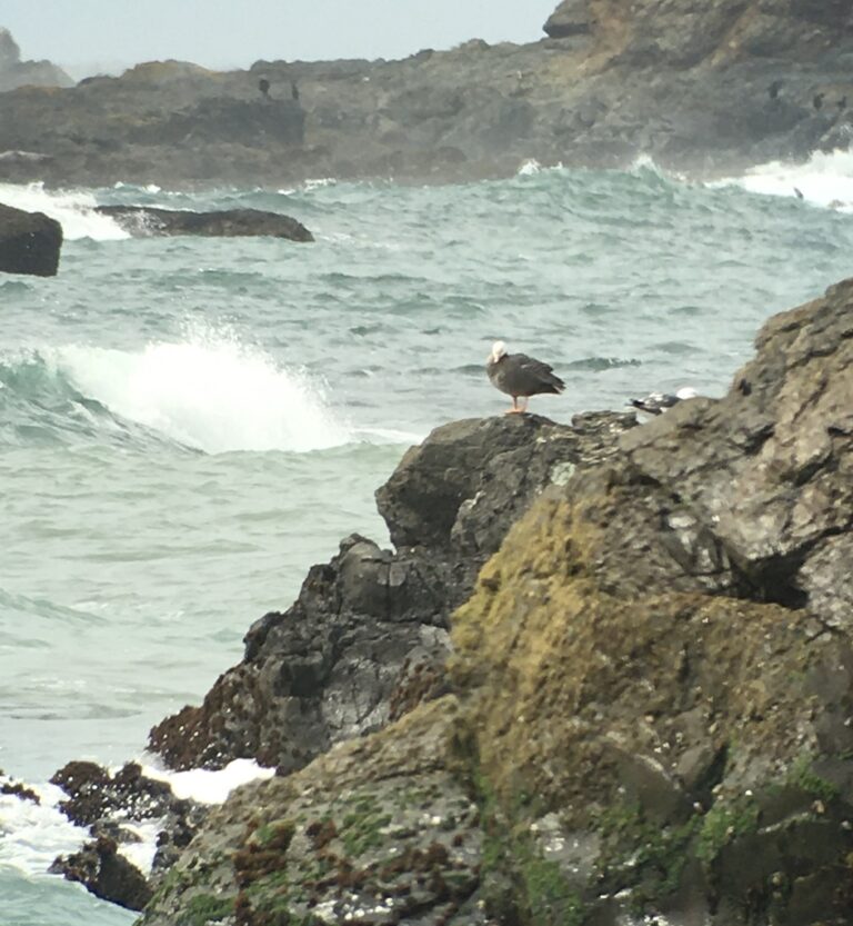
Anser canagicus
♥
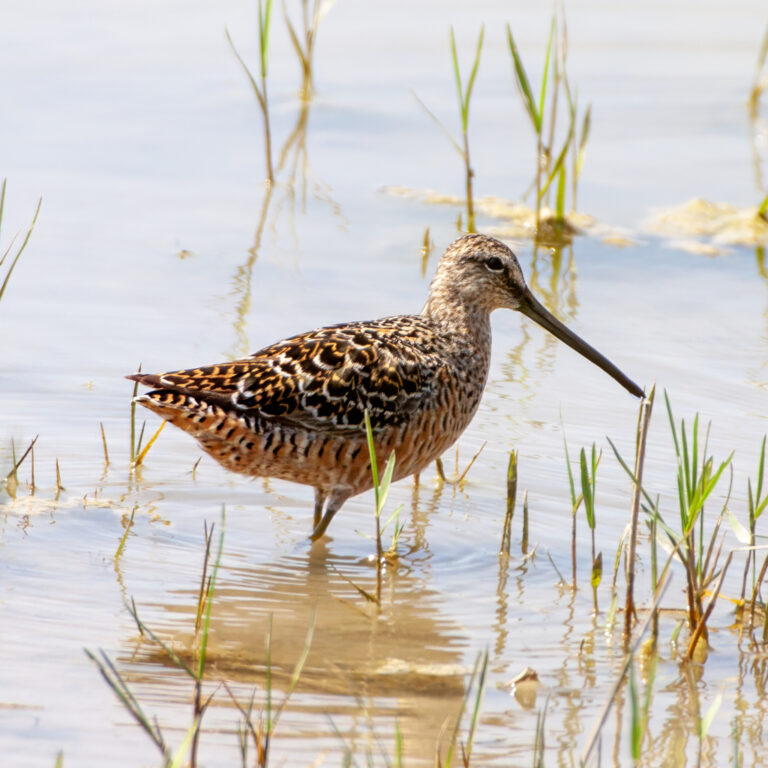
Limnodromus scolopaceus
♥
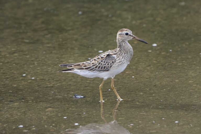
Calidris melanotos
♥
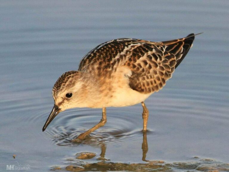
Calidris minuta
♥
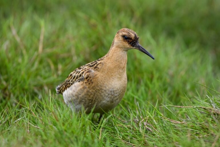
Calidris pugnax
♥
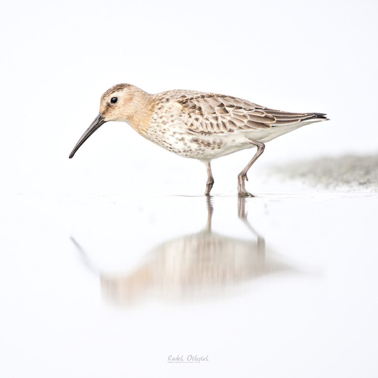
Calidris alpina
♥
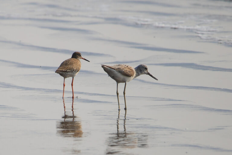
Tringa nebularia
♥
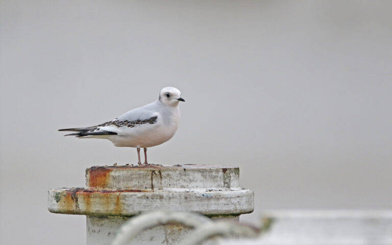
Rhodostethia rosea
♥
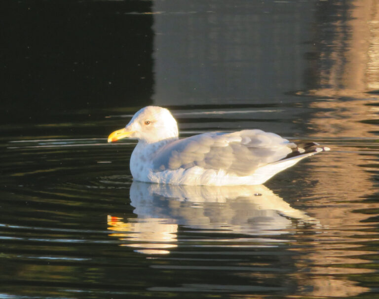
Larus vegae
♥
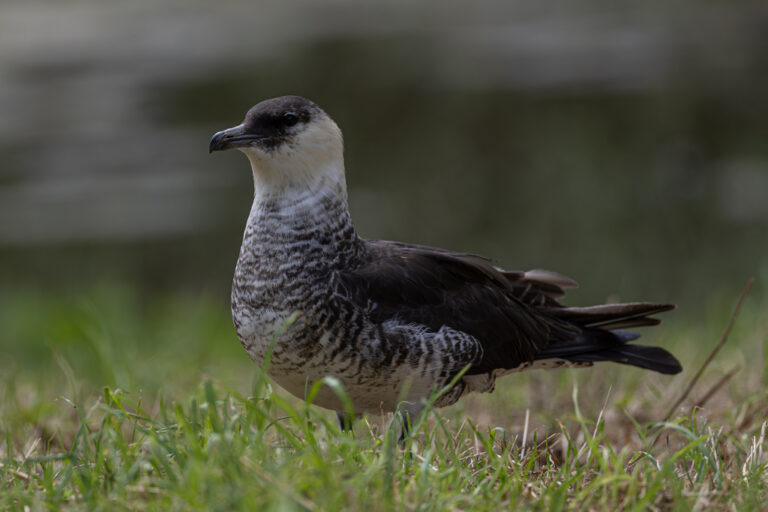
Stercorarius pomarinus
♥
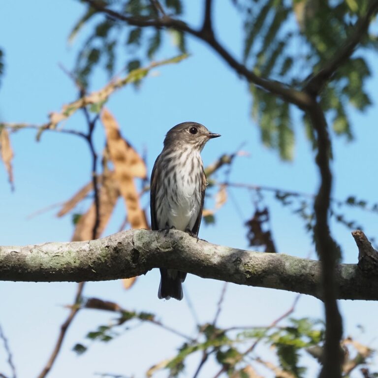
Muscicapa griseisticta
♥
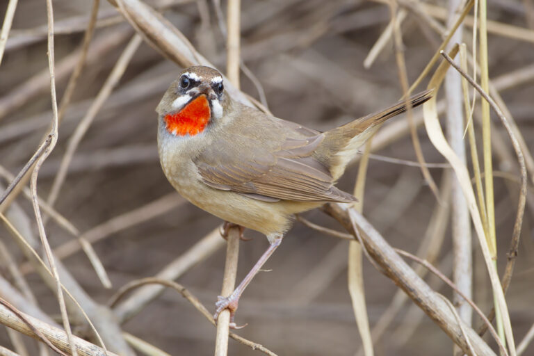
Calliope calliope
♥
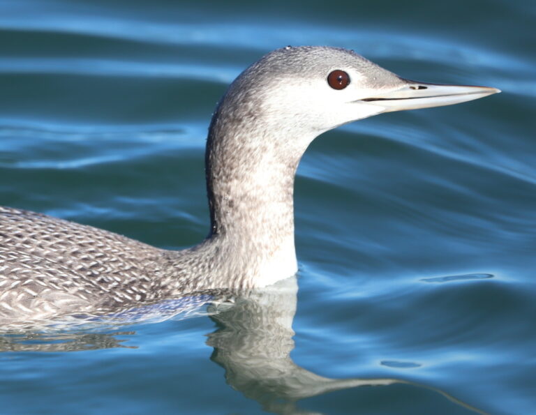
Gavia stellata
♥
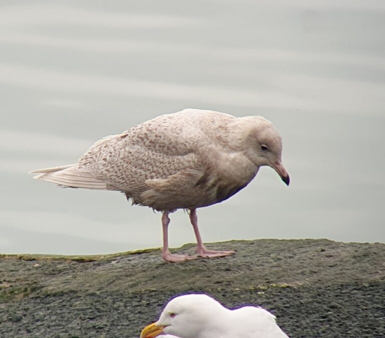
Larus glaucoides
♥
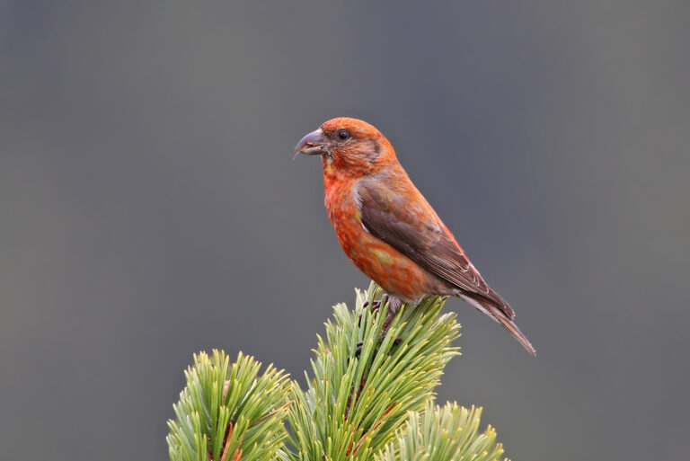
Loxia curvirostra
♥
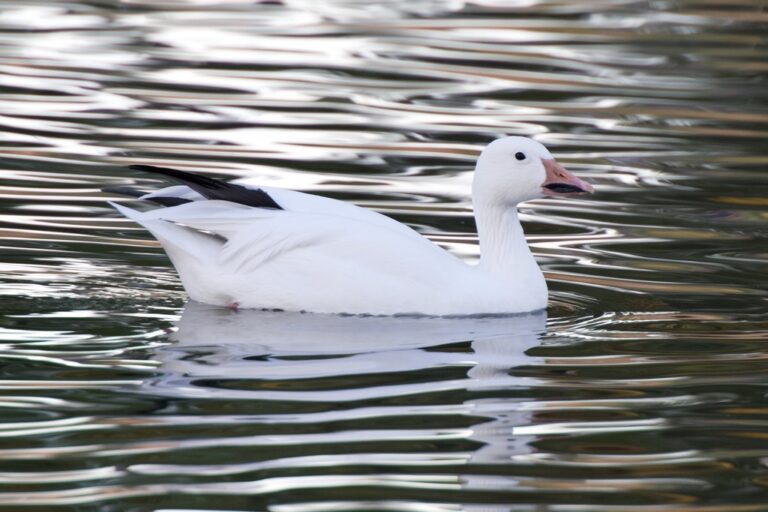
Anser caerulescens
♥
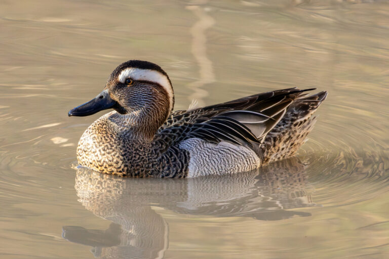
Spatula querquedula
♥
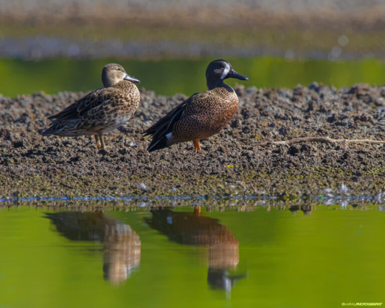
Spatula discors
♥
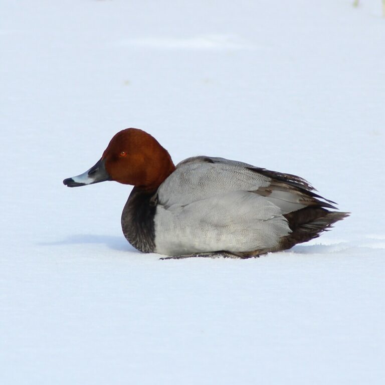
Aythya ferina
♥
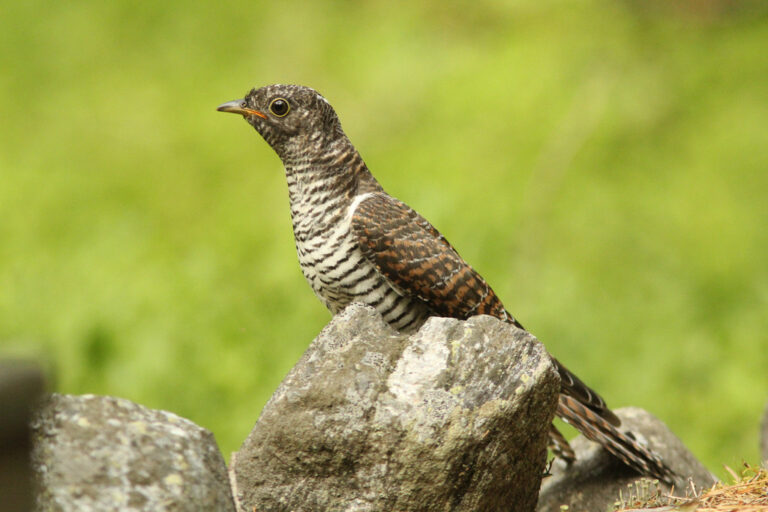
Cuculus canorus
♥
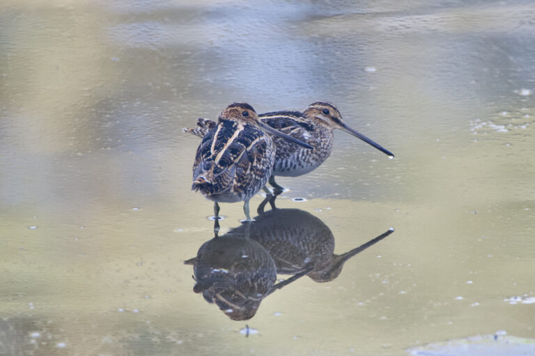
Gallinago delicata
♥
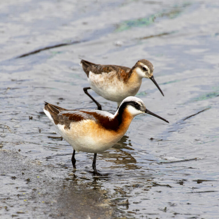
Phalaropus tricolor
♥
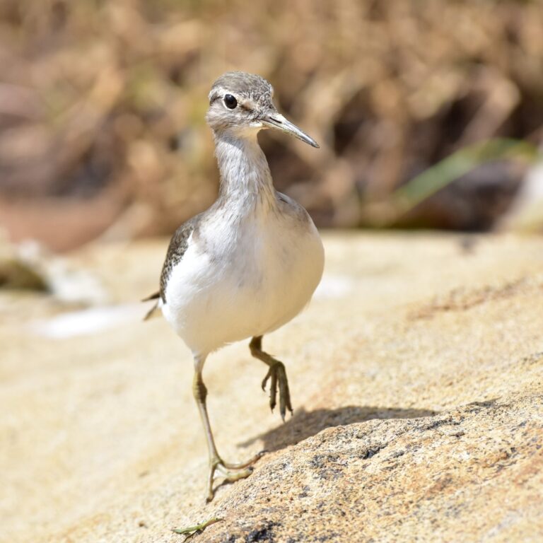
Actitis hypoleucos
♥
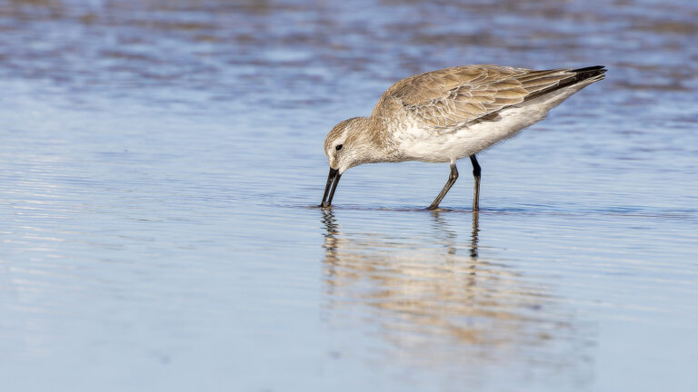
Calidris canutus
♥
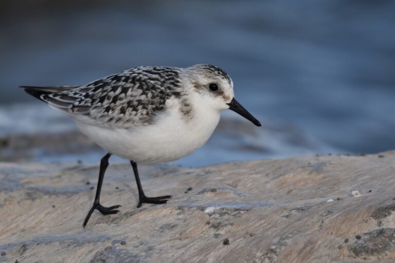
Calidris alba
♥
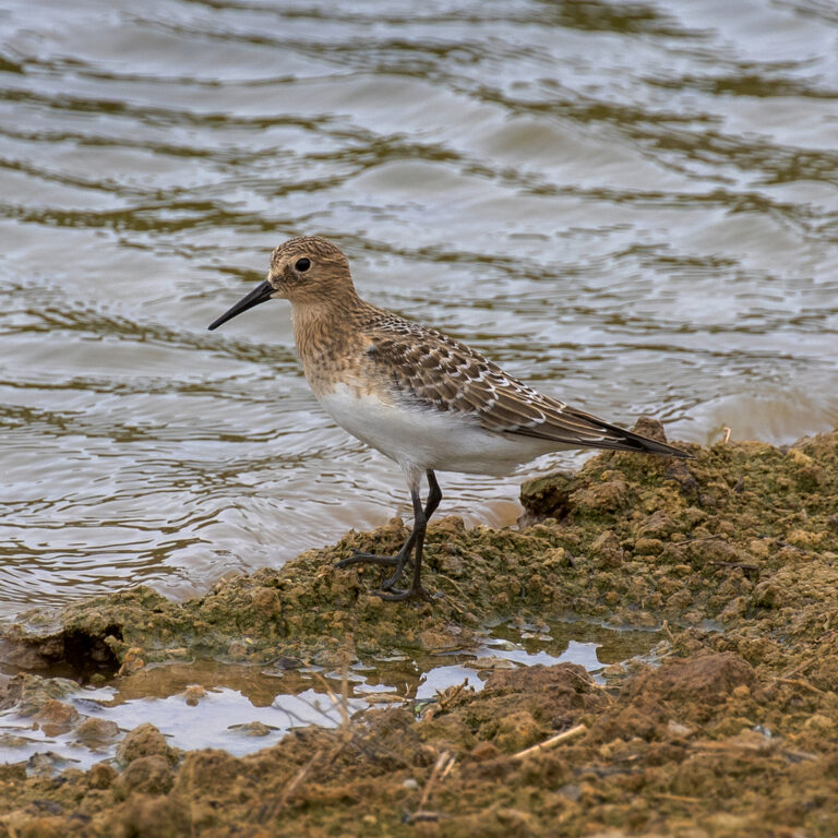
Calidris bairdii
♥
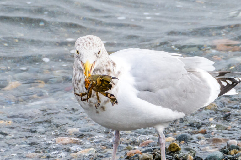
Larus smithsonianus
♥
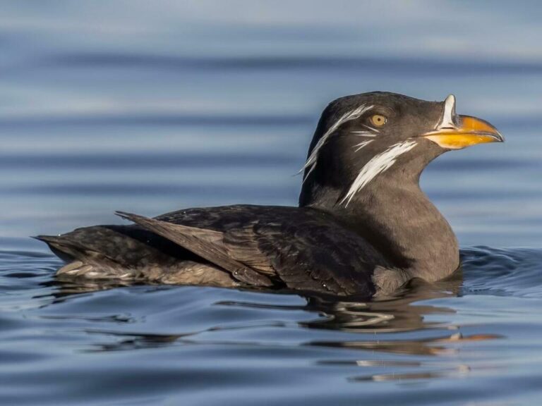
Cerorhinca monocerata
♥
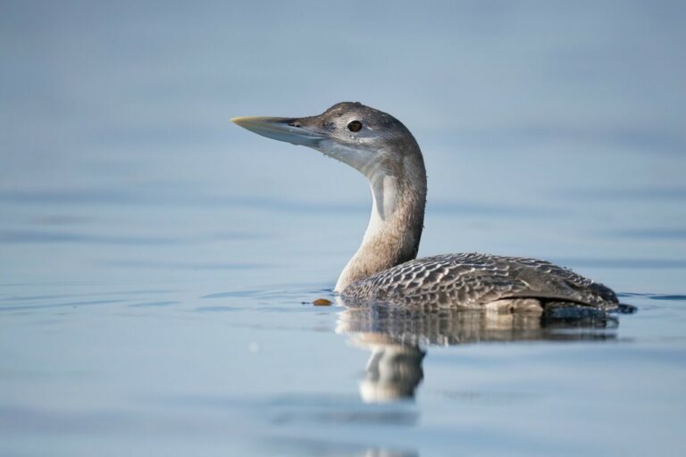
Gavia adamsii
♥
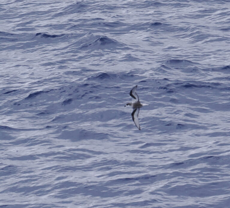
Pterodroma inexpectata
♥
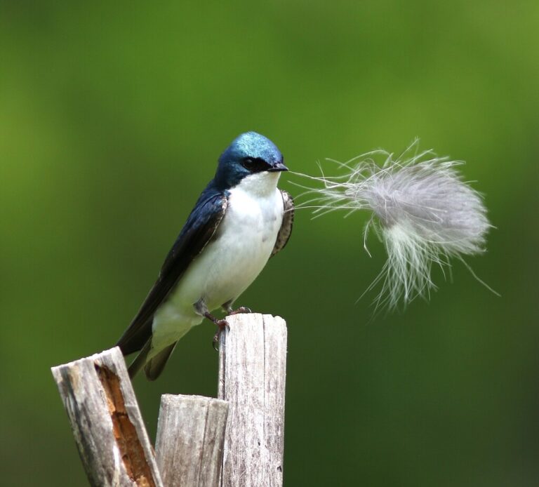
Tachycineta bicolor
♥
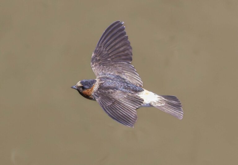
Petrochelidon pyrrhonota
♥
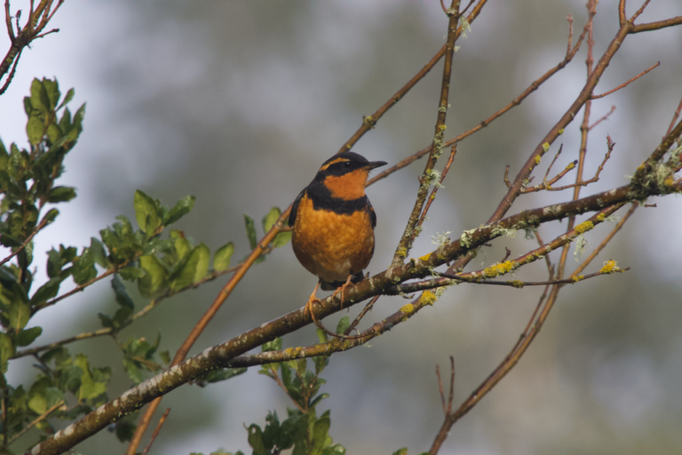
Ixoreus naevius
♥
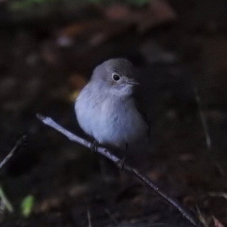
Ficedula albicilla
♥
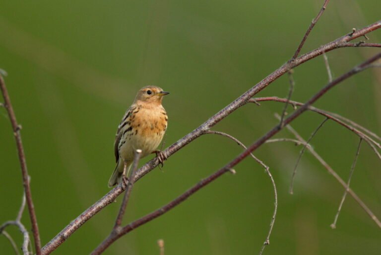
Anthus cervinus
♥
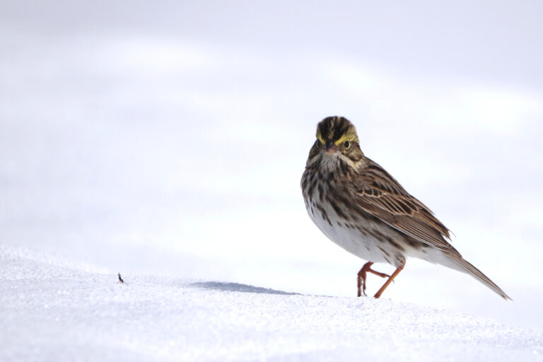
Passerculus sandwichensis
♥
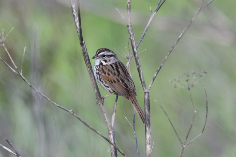
Melospiza melodia
♥
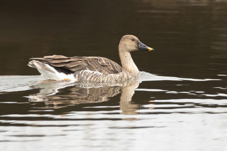
Anser fabalis
♥
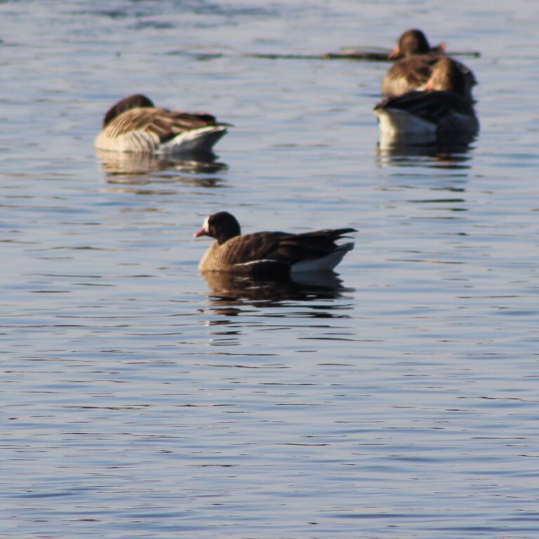
Anser erythropus
♥
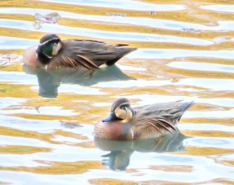
Sibirionetta formosa
♥
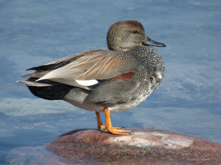
Mareca strepera
♥
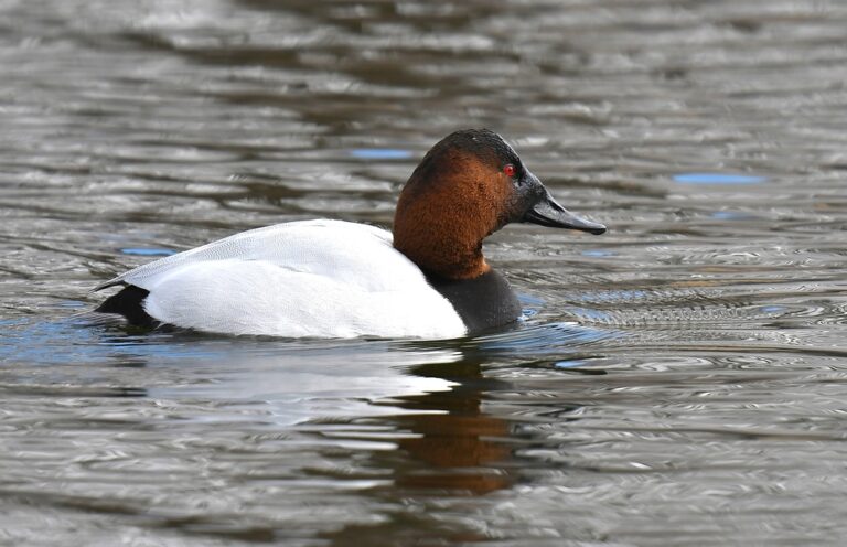
Aythya valisineria
♥
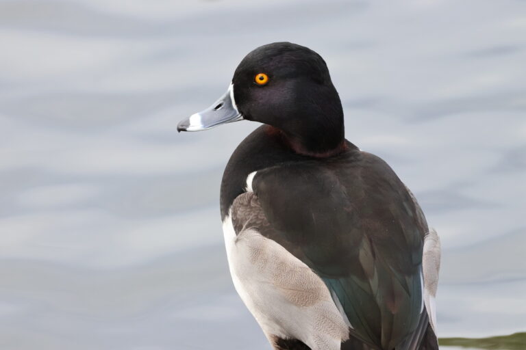
Aythya collaris
♥
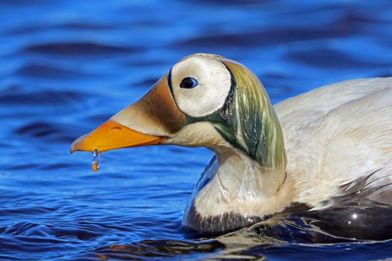
Somateria fischeri
♥
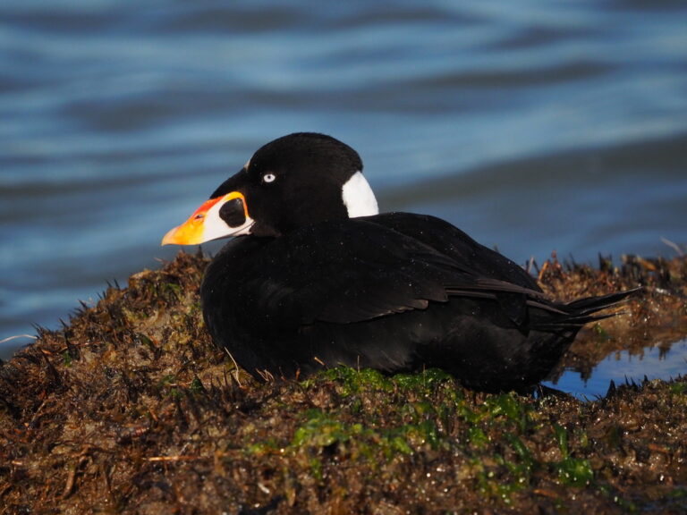
Melanitta perspicillata
♥
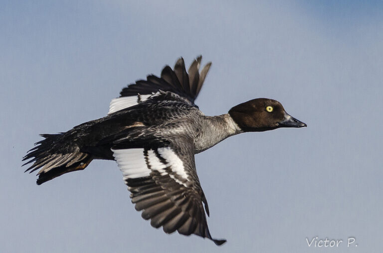
Bucephala clangula
♥
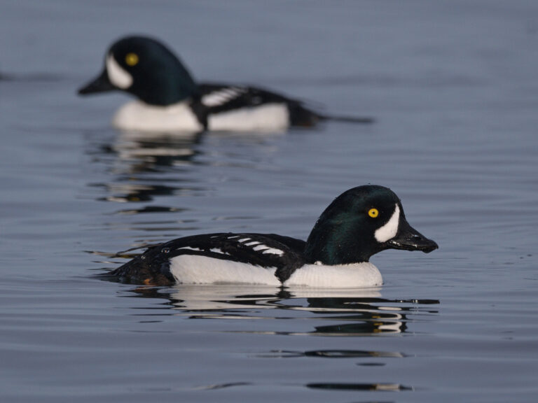
Bucephala islandica
♥
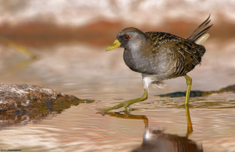
Porzana carolina
♥
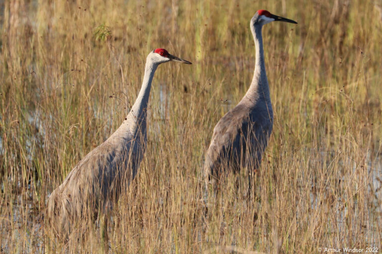
Antigone canadensis
♥
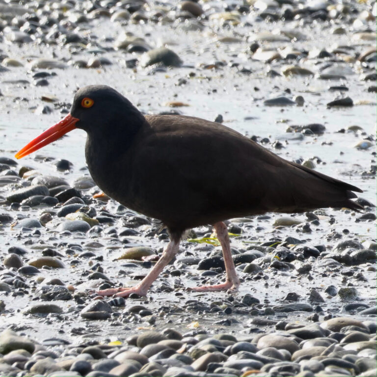
Haematopus bachmani
♥
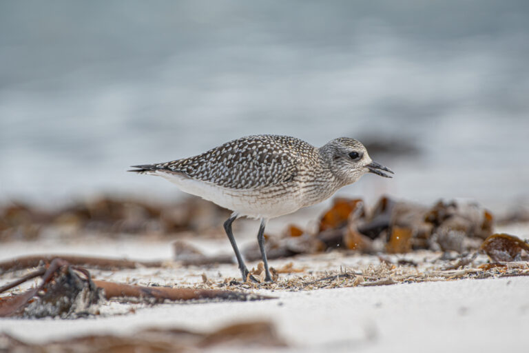
Pluvialis squatarola
♥
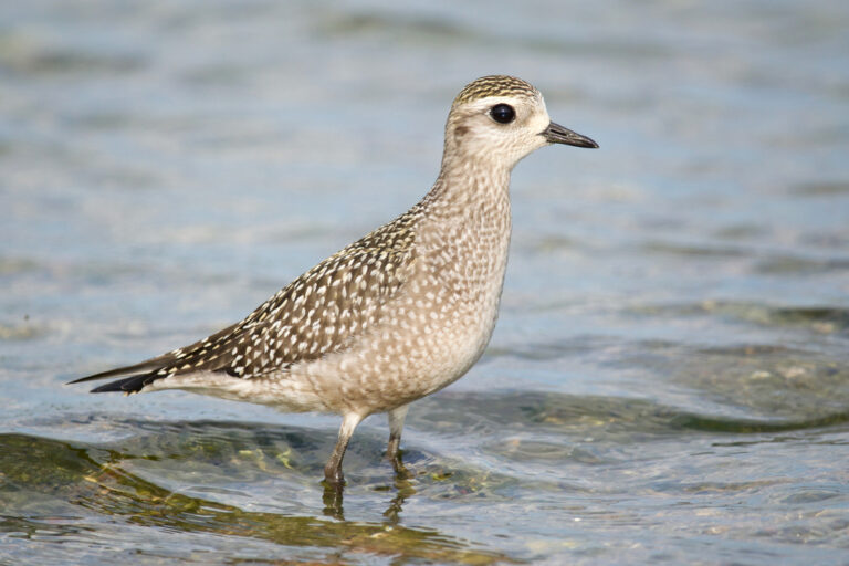
Pluvialis dominica
♥
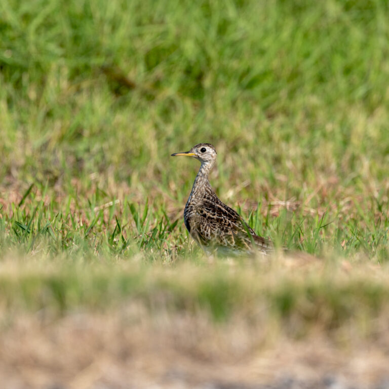
Bartramia longicauda
♥
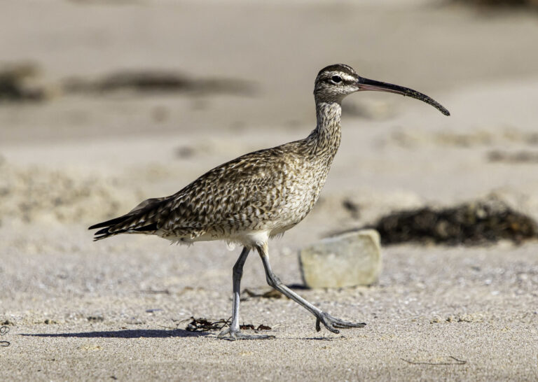
Numenius hudsonicus
♥
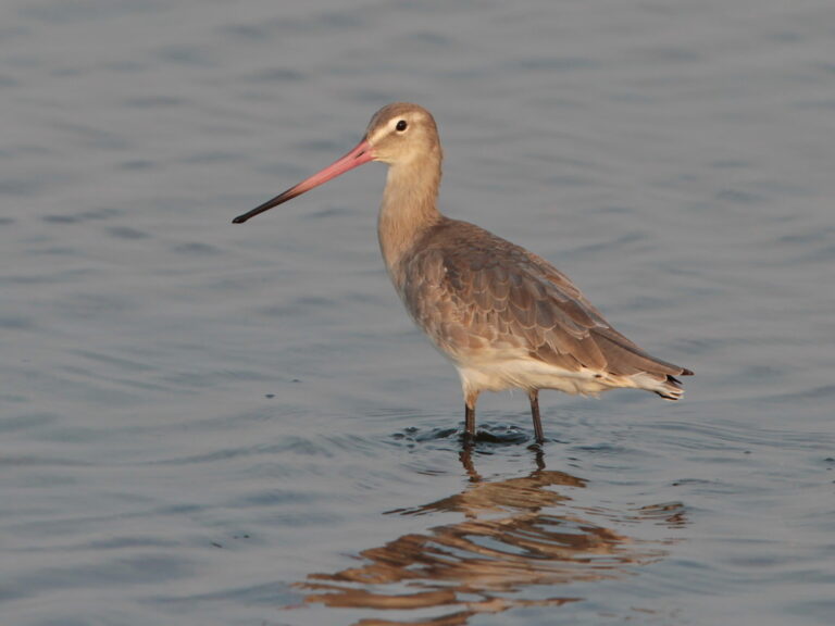
Limosa limosa
♥
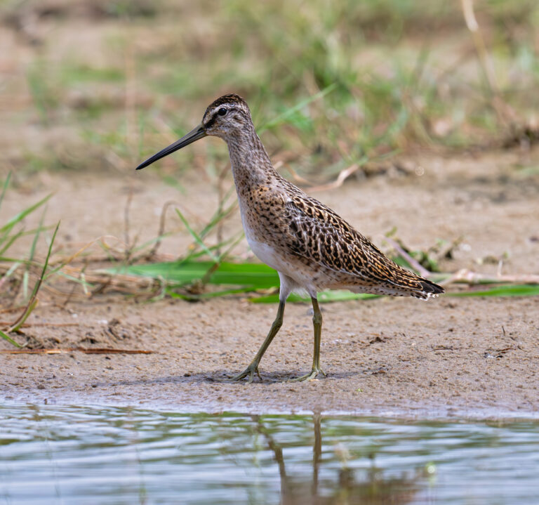
Limnodromus griseus
♥
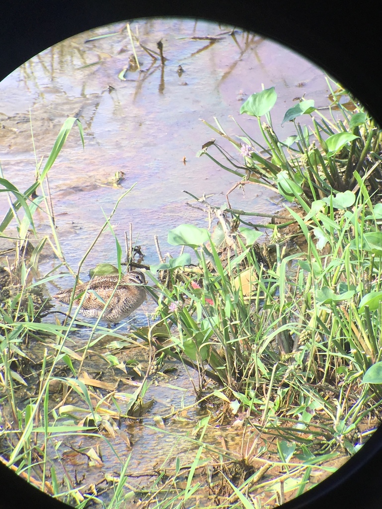
Gallinago solitaria
♥
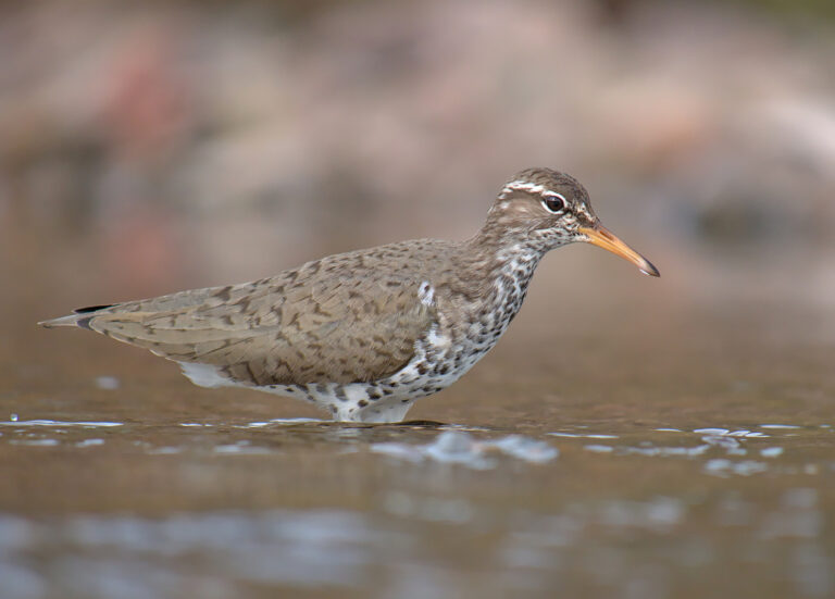
Actitis macularius
♥
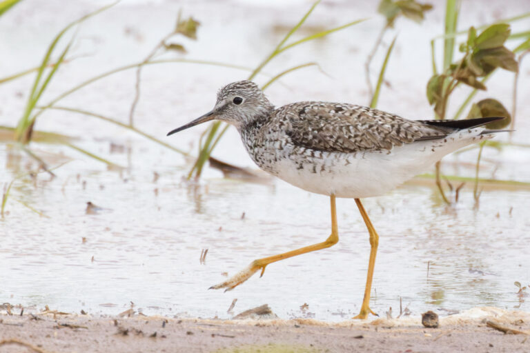
Tringa flavipes
♥
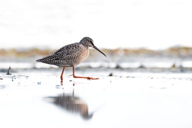
Tringa erythropus
♥
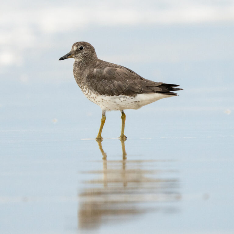
Calidris virgata
♥
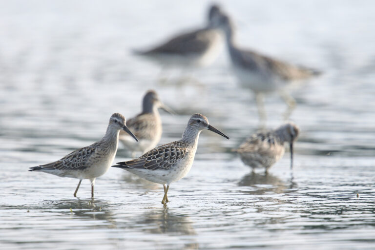
Calidris himantopus
♥
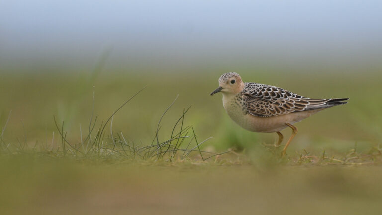
Calidris subruficollis
♥
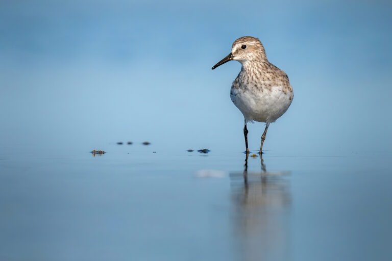
Calidris fuscicollis
♥
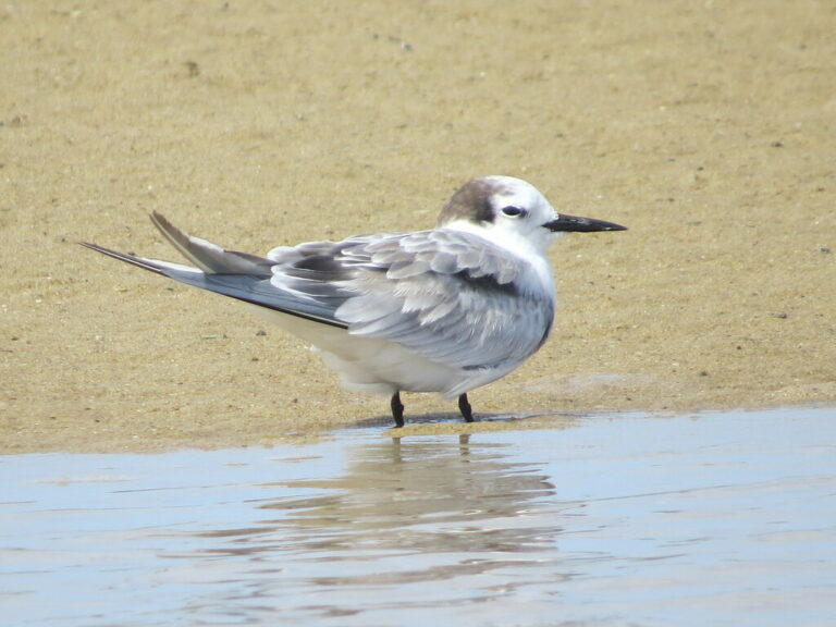
Onychoprion aleuticus
♥
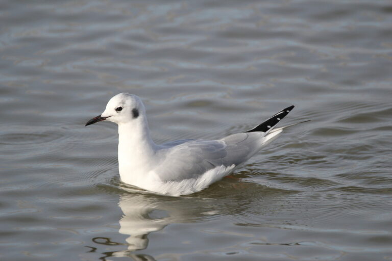
Chroicocephalus philadelphia
♥
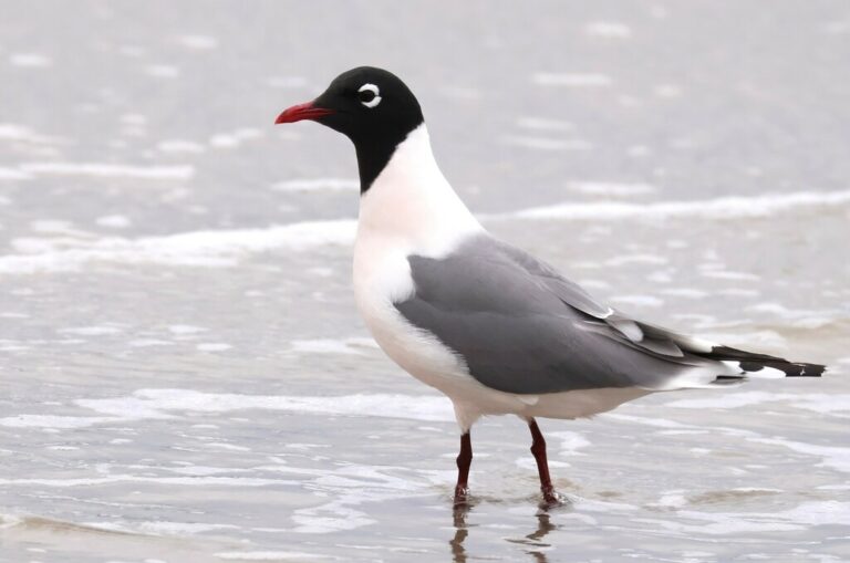
Leucophaeus pipixcan
♥
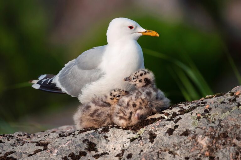
Larus canus
♥
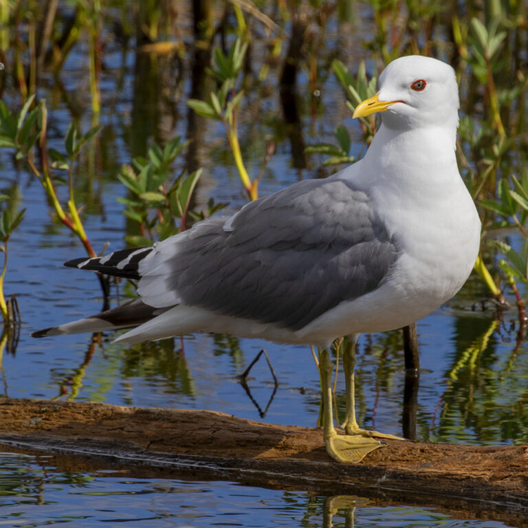
Larus brachyrhynchus
♥
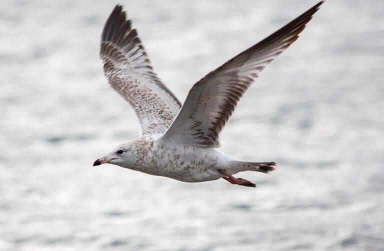
Larus delawarensis
♥
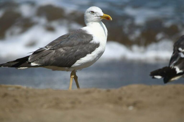
Larus fuscus
♥
Ptychoramphus aleuticus
♥
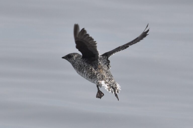
Brachyramphus brevirostris
♥
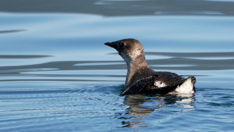
Brachyramphus marmoratus
♥
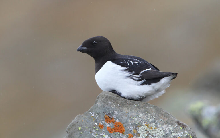
Alle alle
♥
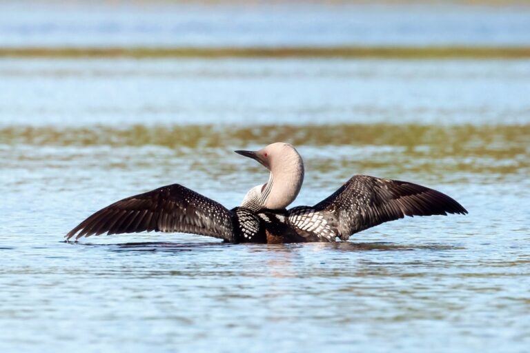
Gavia arctica
♥
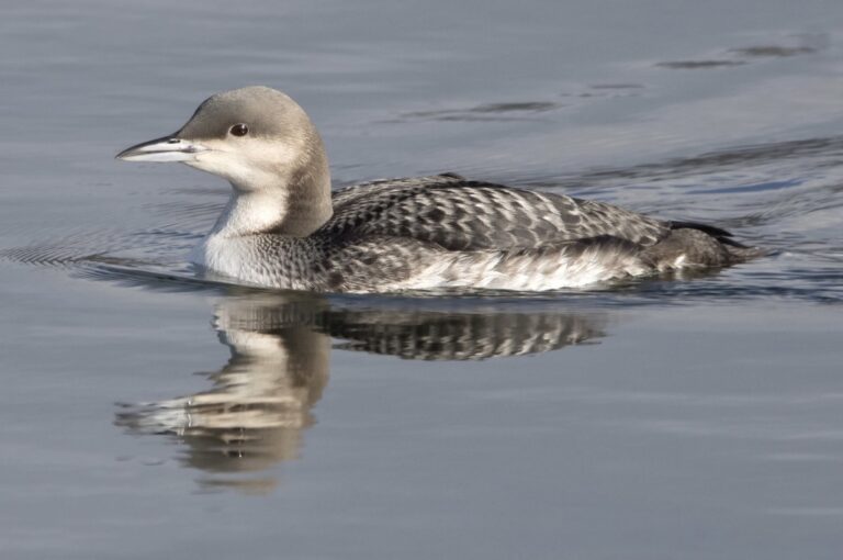
Gavia pacifica
♥
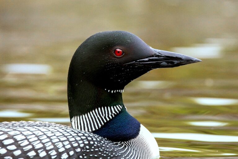
Gavia immer
♥
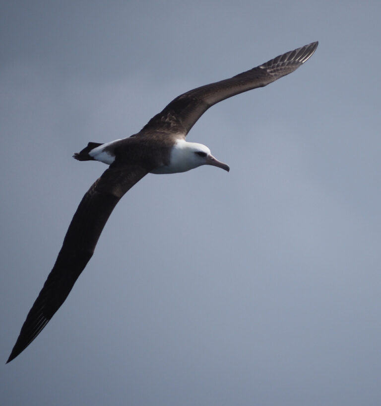
Phoebastria immutabilis
♥
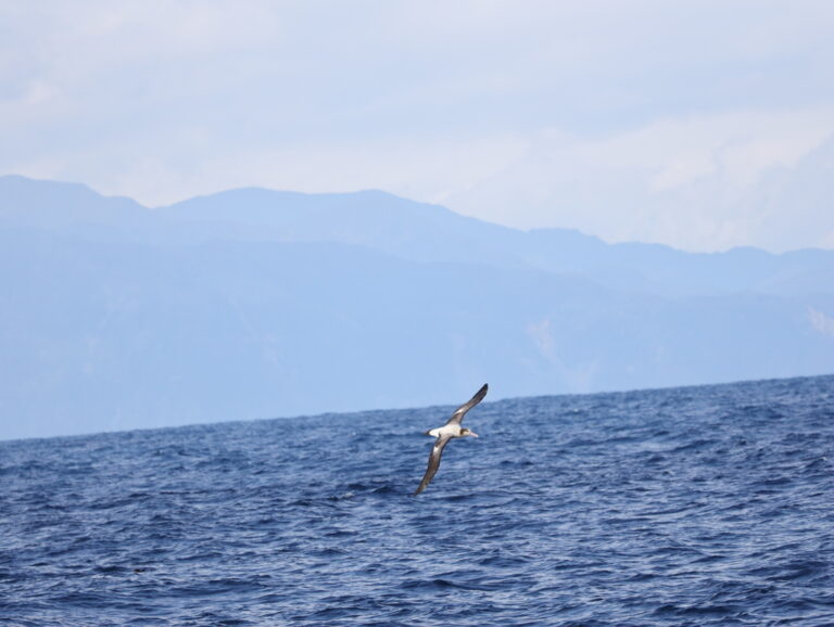
Phoebastria albatrus
♥
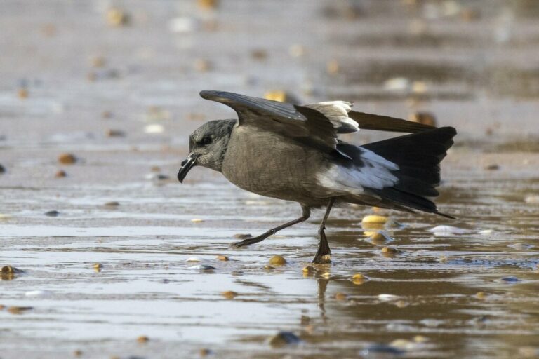
Hydrobates leucorhous
♥

Ardea alba
♥
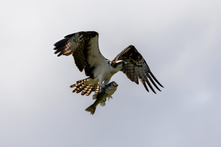
Pandion haliaetus
♥
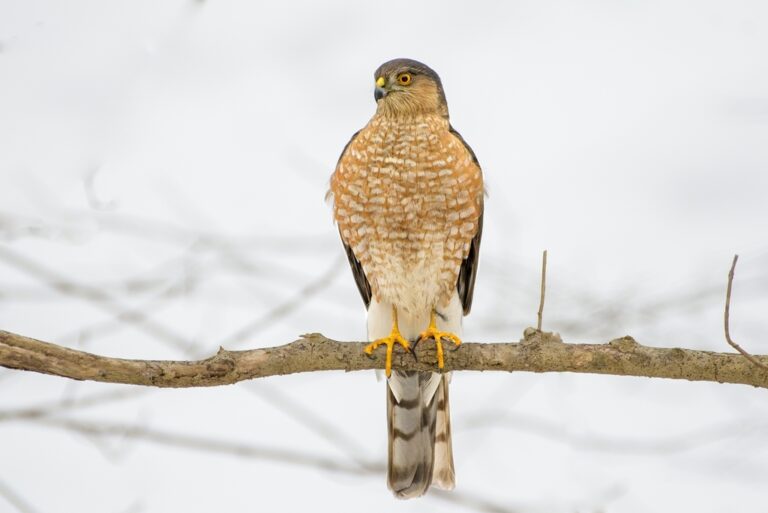
Accipiter striatus
♥
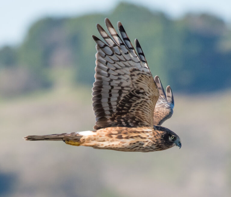
Circus hudsonius
♥
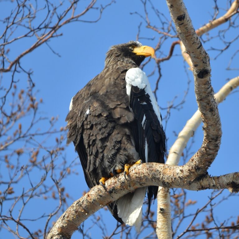
Haliaeetus pelagicus
♥
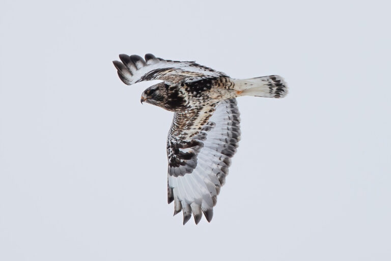
Buteo lagopus
♥
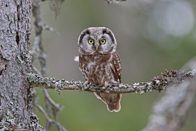
Aegolius funereus
♥
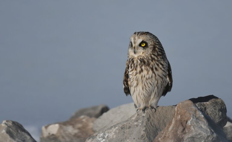
Asio flammeus
♥
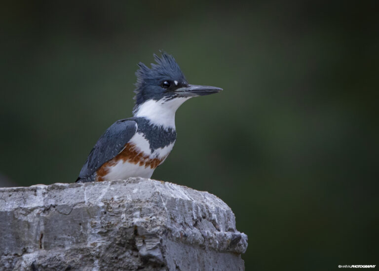
Megaceryle alcyon
♥
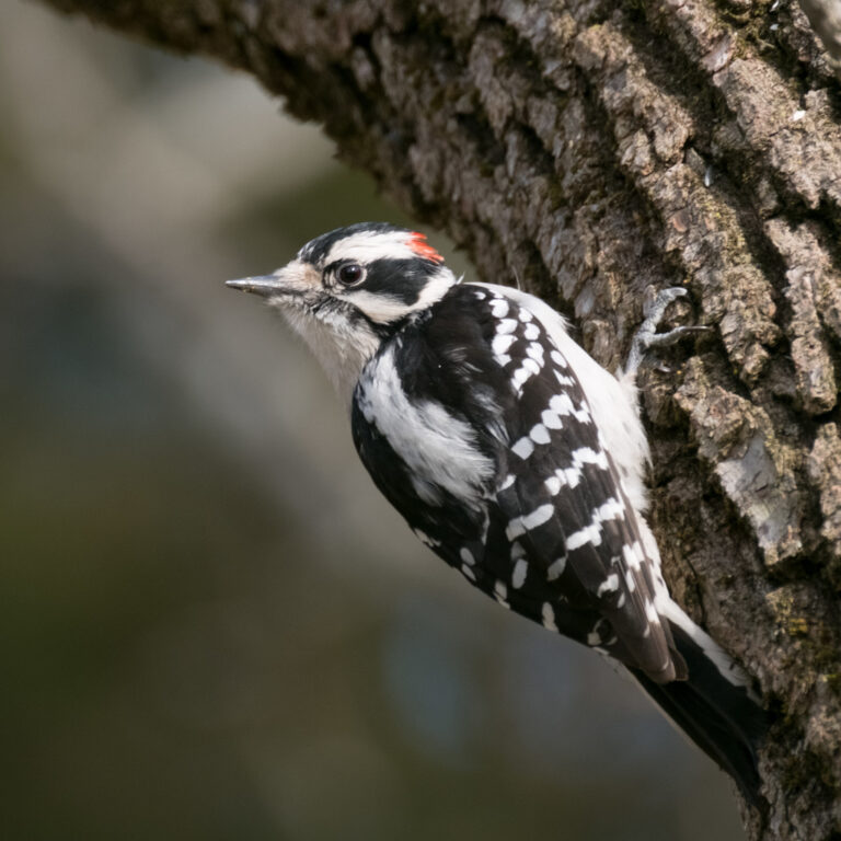
Dryobates pubescens
♥
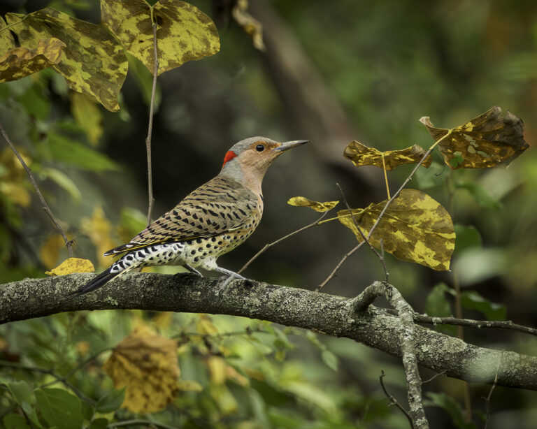
Colaptes auratus
♥
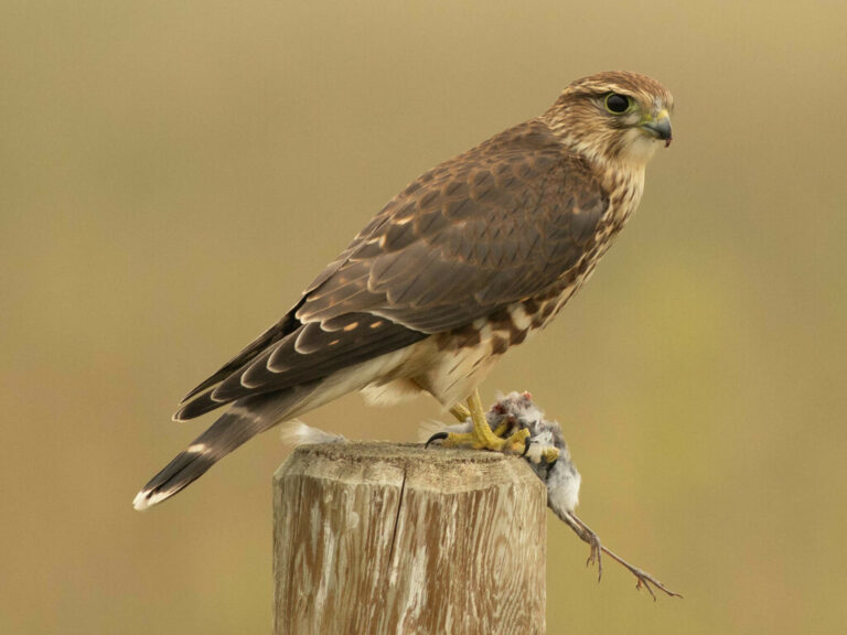
Falco columbarius
♥
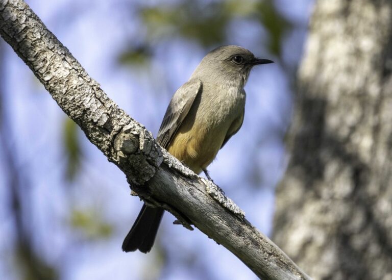
Sayornis saya
♥
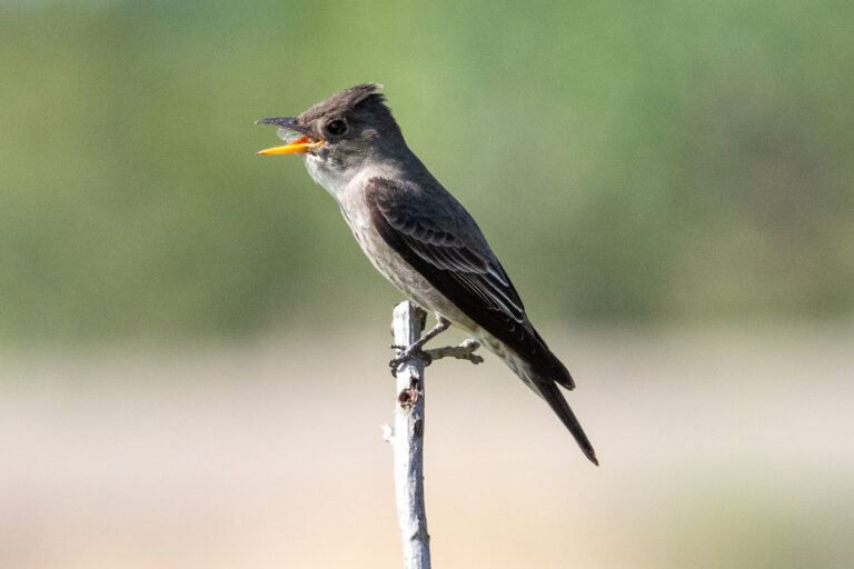
Contopus cooperi
♥
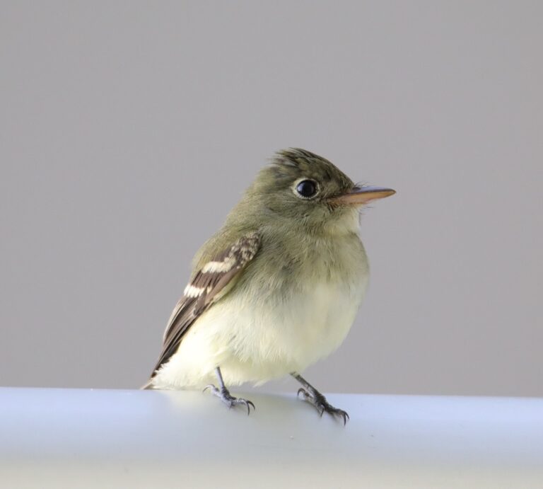
Empidonax flaviventris
♥
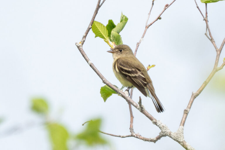
Empidonax alnorum
♥
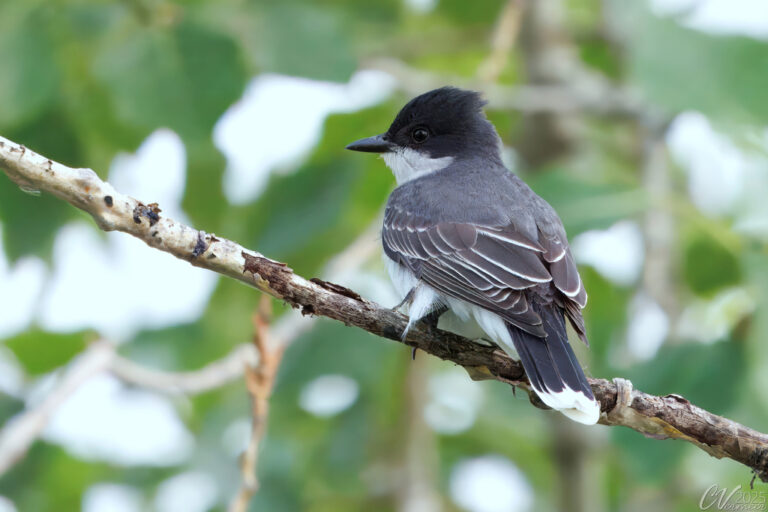
Tyrannus tyrannus
♥
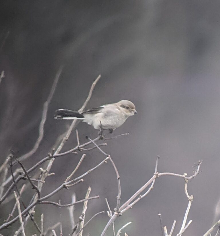
Lanius borealis
♥
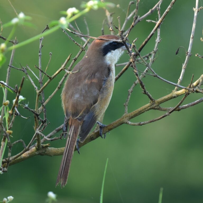
Lanius cristatus
♥
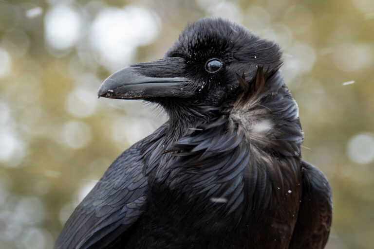
Corvus corax
♥
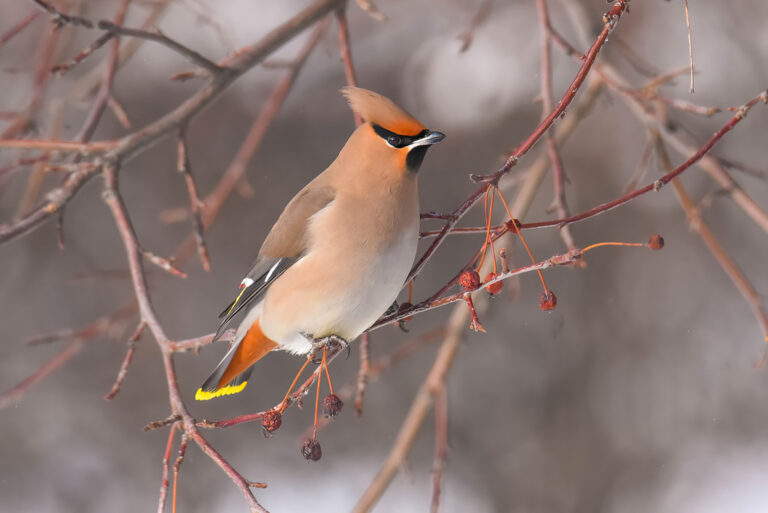
Bombycilla garrulus
♥
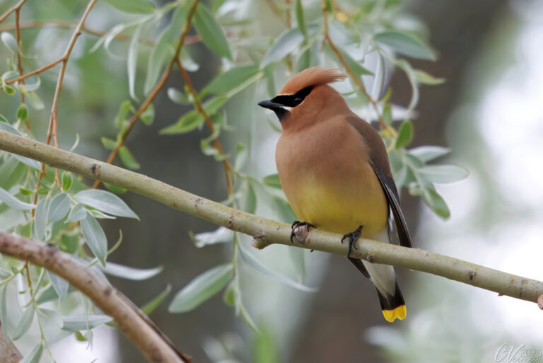
Bombycilla cedrorum
♥
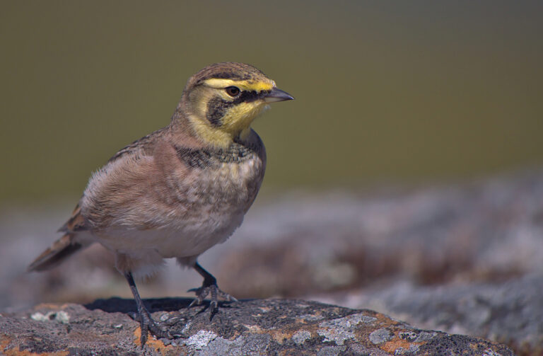
Eremophila alpestris
♥
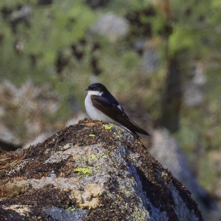
Delichon lagopodum
♥
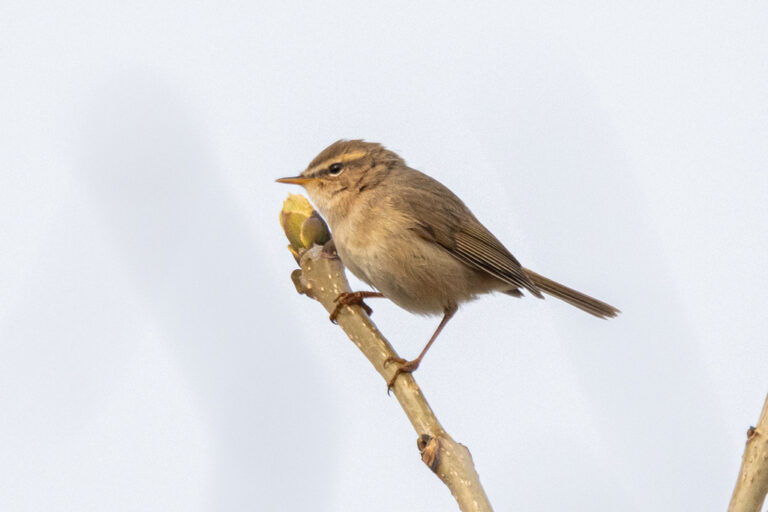
Phylloscopus fuscatus
♥
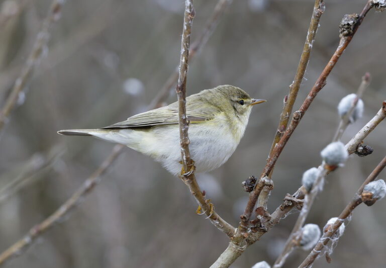
Phylloscopus trochilus
♥
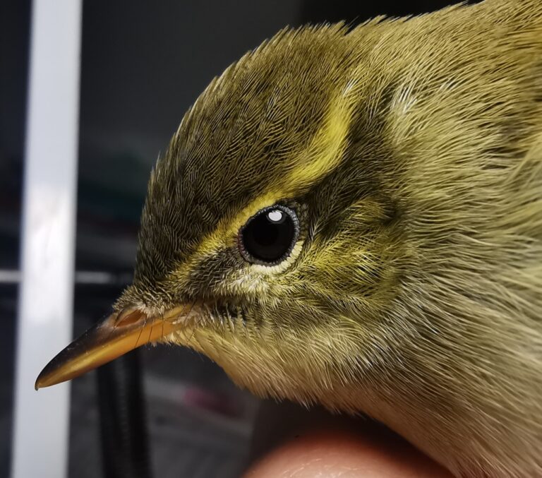
Phylloscopus examinandus
♥
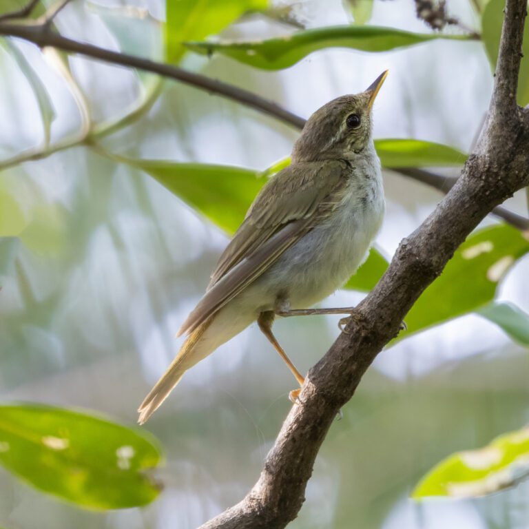
Phylloscopus borealis
♥
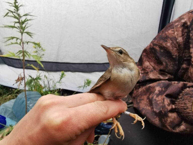
Helopsaltes ochotensis
♥
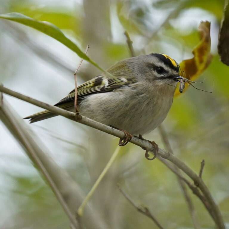
Regulus satrapa
♥
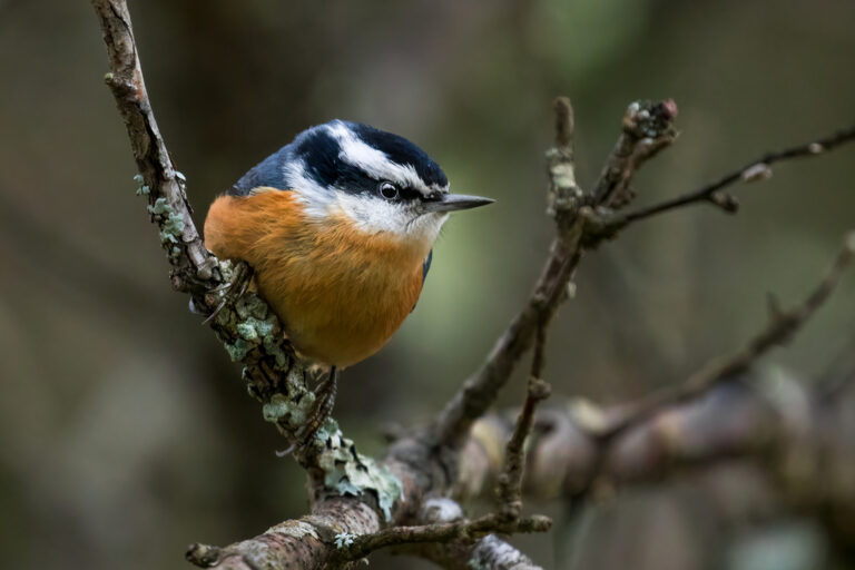
Sitta canadensis
♥
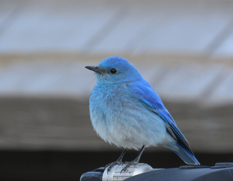
Sialia currucoides
♥
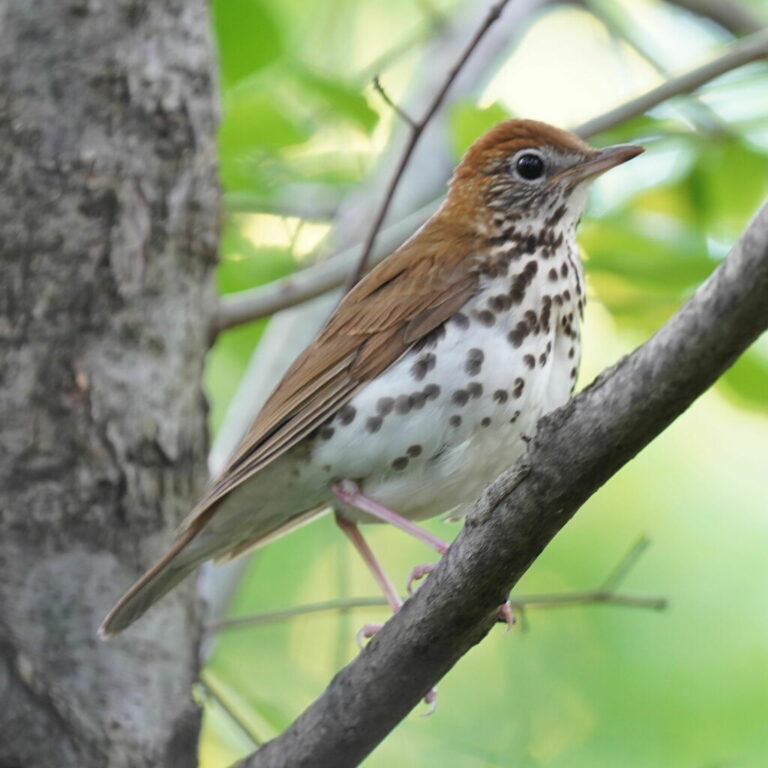
Hylocichla mustelina
♥
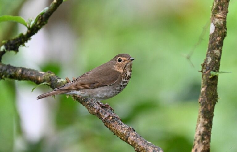
Catharus ustulatus
♥
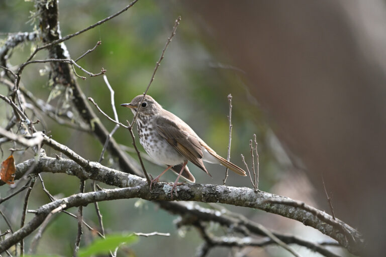
Catharus guttatus
♥
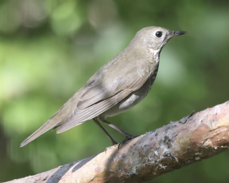
Catharus minimus
♥
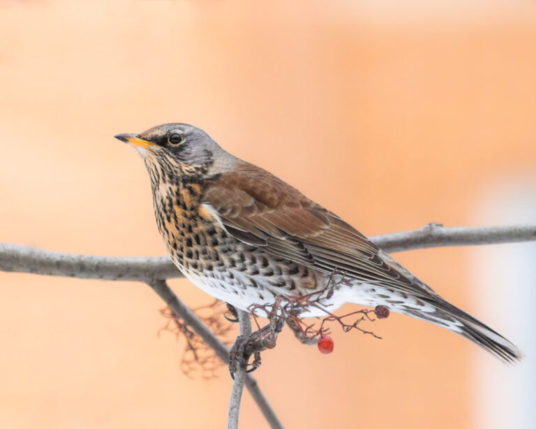
Turdus pilaris
♥
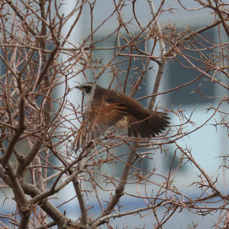
Turdus eunomus
♥
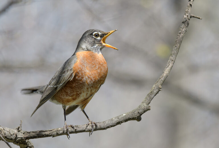
Turdus migratorius
♥
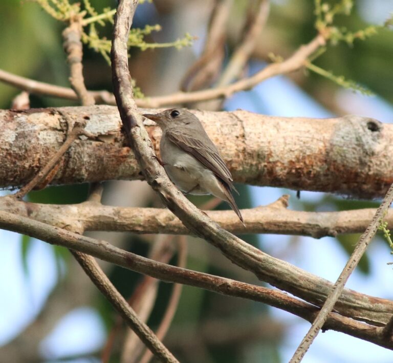
Muscicapa dauurica
♥
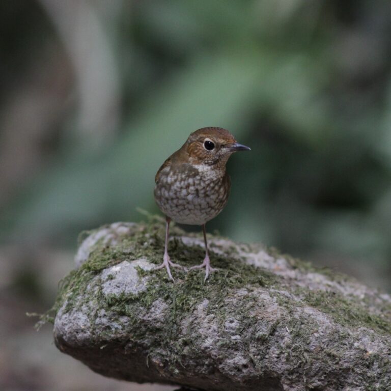
Larvivora sibilans
♥
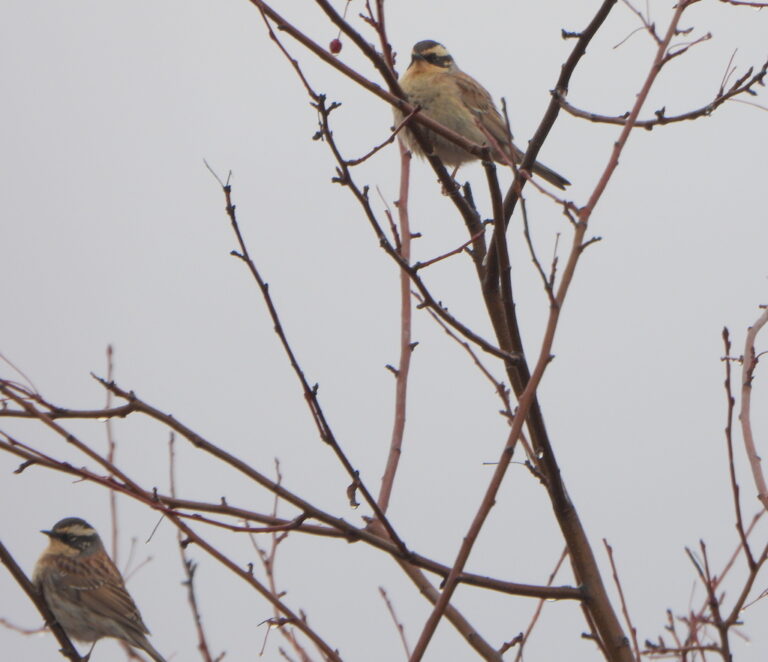
Prunella montanella
♥
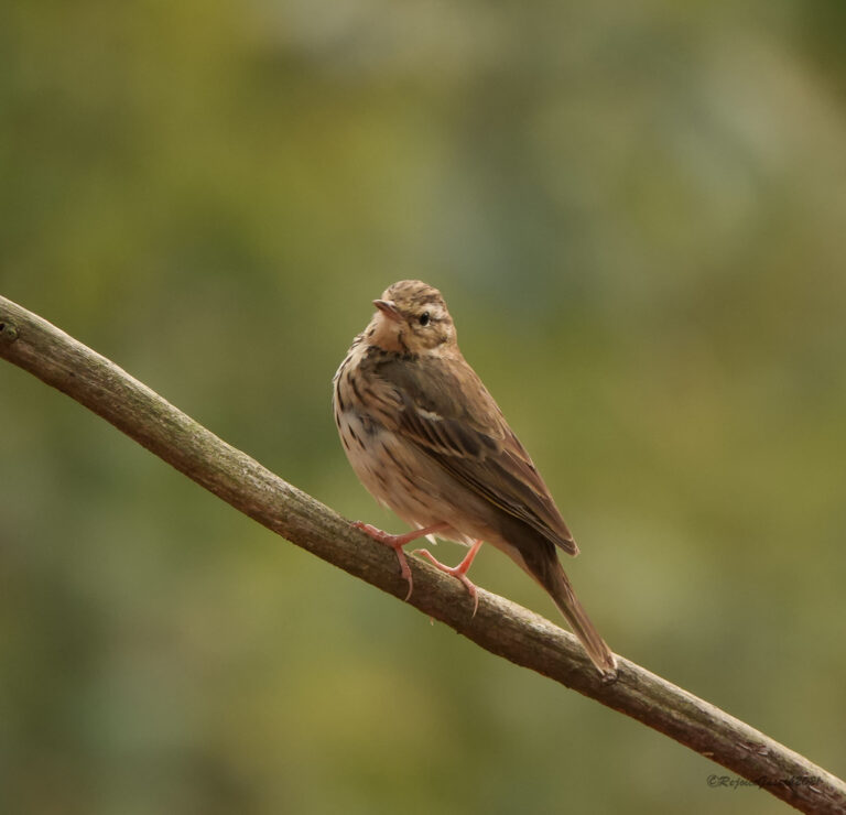
Anthus hodgsoni
♥
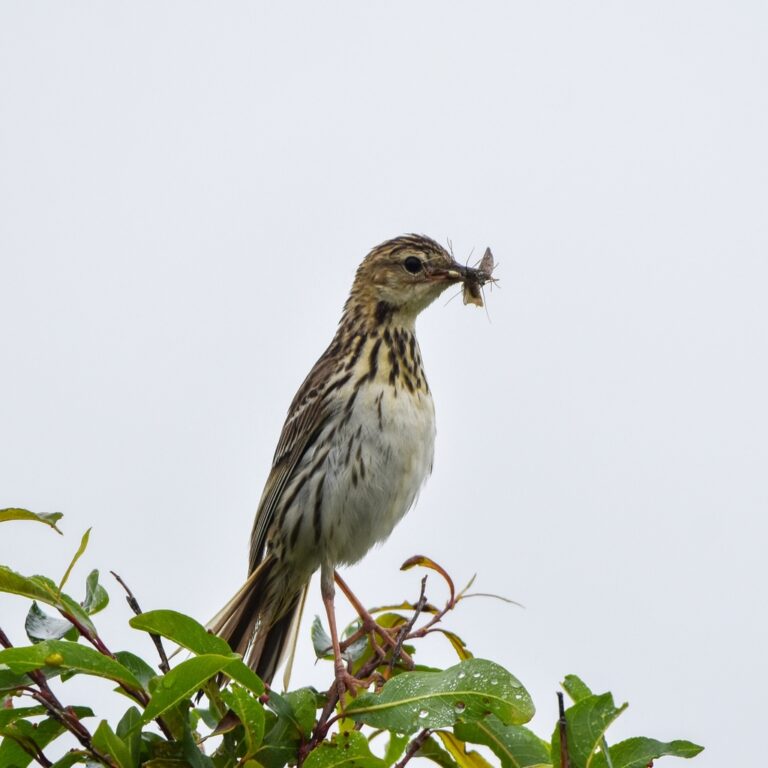
Anthus gustavi
♥
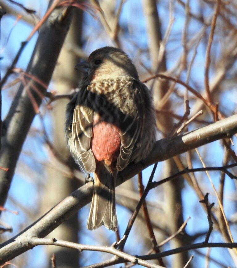
Carpodacus roseus
♥
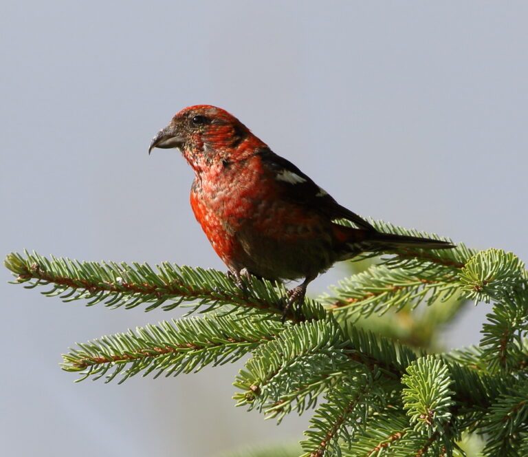
Loxia leucoptera
♥
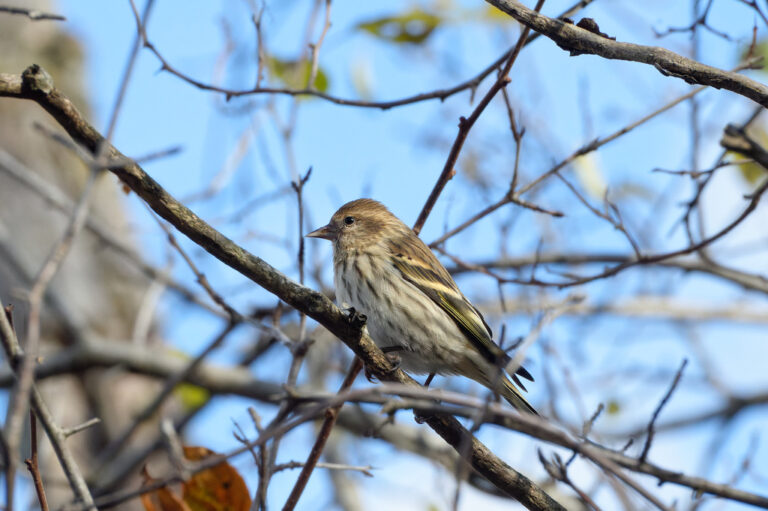
Spinus pinus
♥
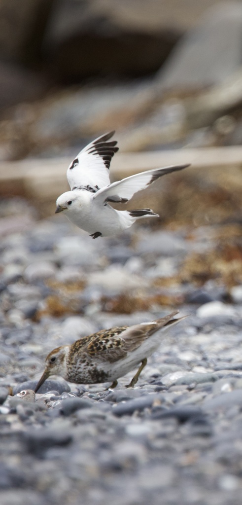
Plectrophenax hyperboreus
♥
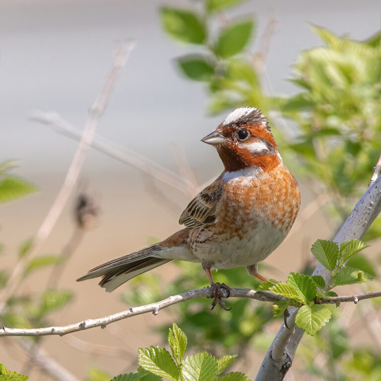
Emberiza leucocephalos
♥
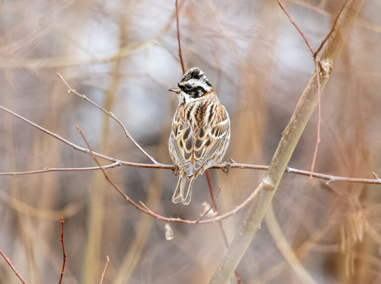
Emberiza rustica
♥
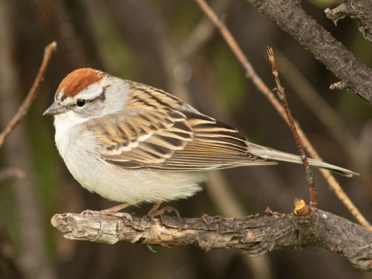
Spizella passerina
♥
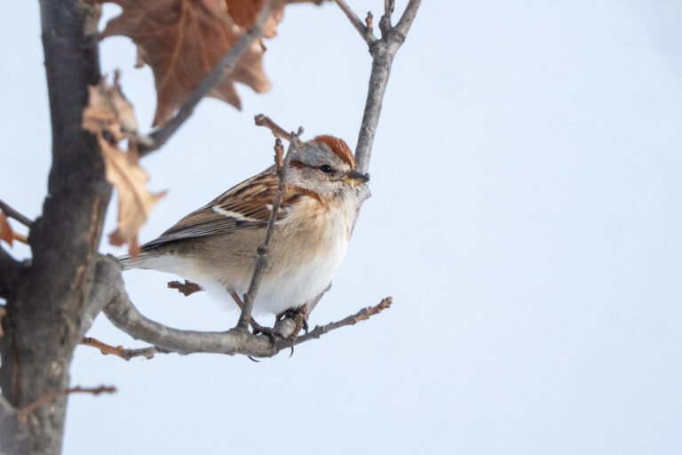
Spizelloides arborea
♥
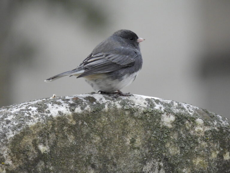
Junco hyemalis
♥
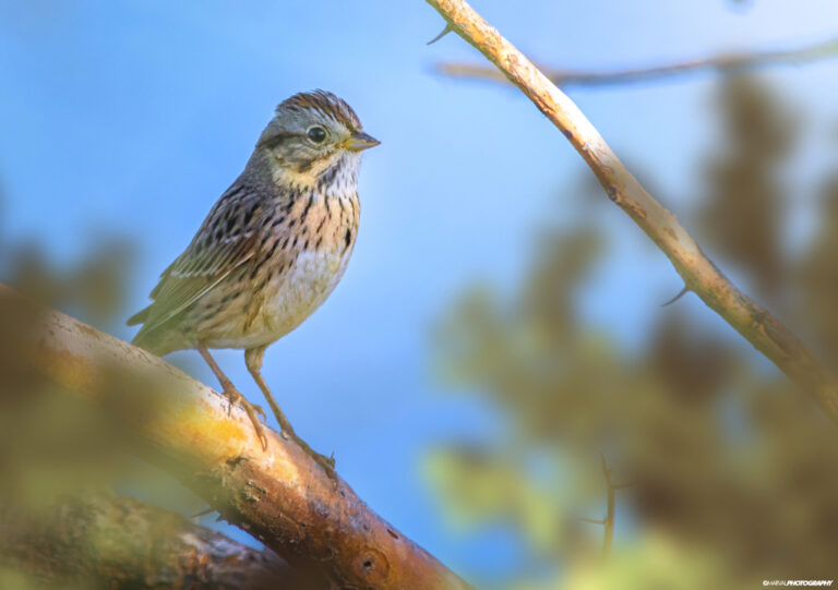
Melospiza lincolnii
♥
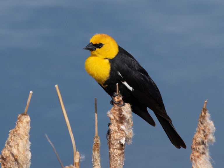
Xanthocephalus xanthocephalus
♥
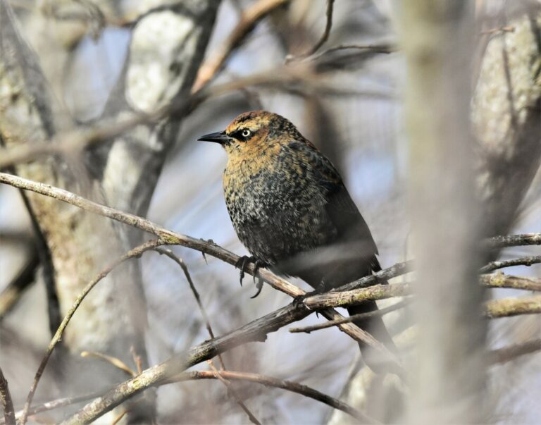
Euphagus carolinus
♥
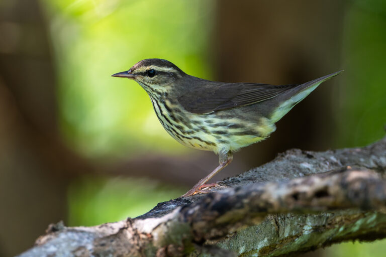
Parkesia noveboracensis
♥
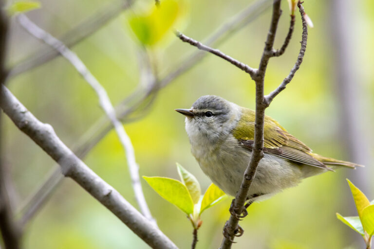
Leiothlypis peregrina
♥
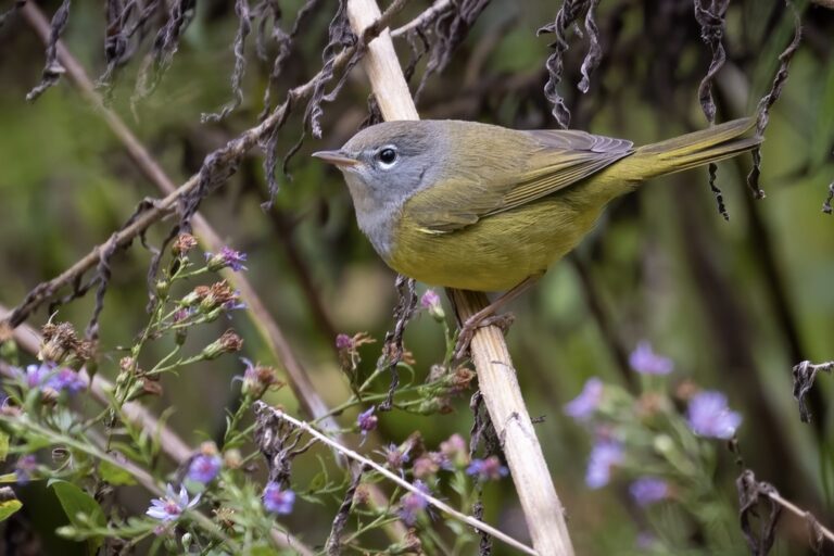
Geothlypis tolmiei
♥
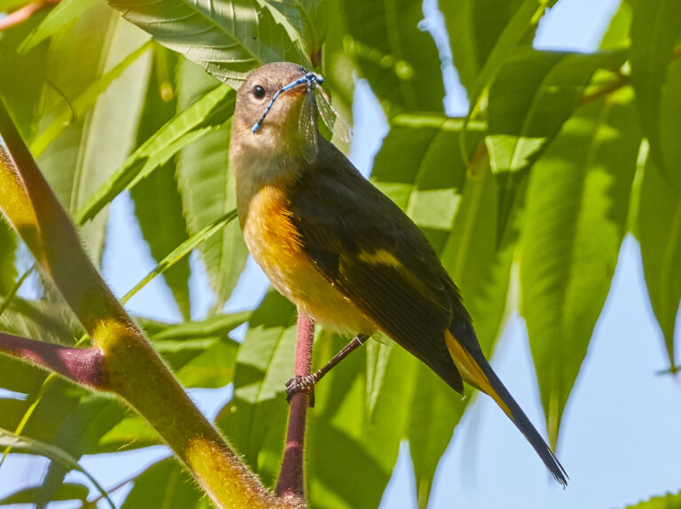
Setophaga ruticilla
♥
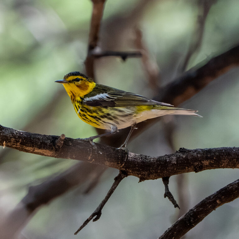
Setophaga tigrina
♥
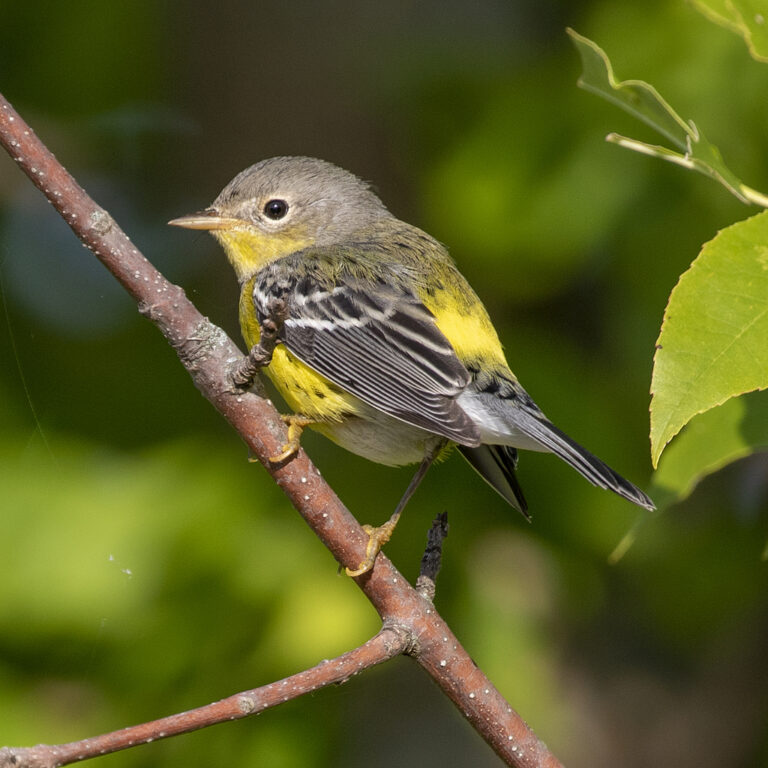
Setophaga magnolia
♥
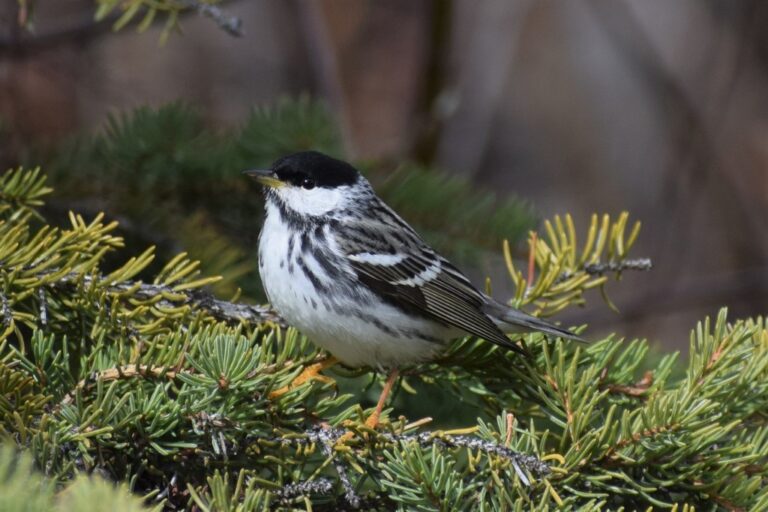
Setophaga striata
♥
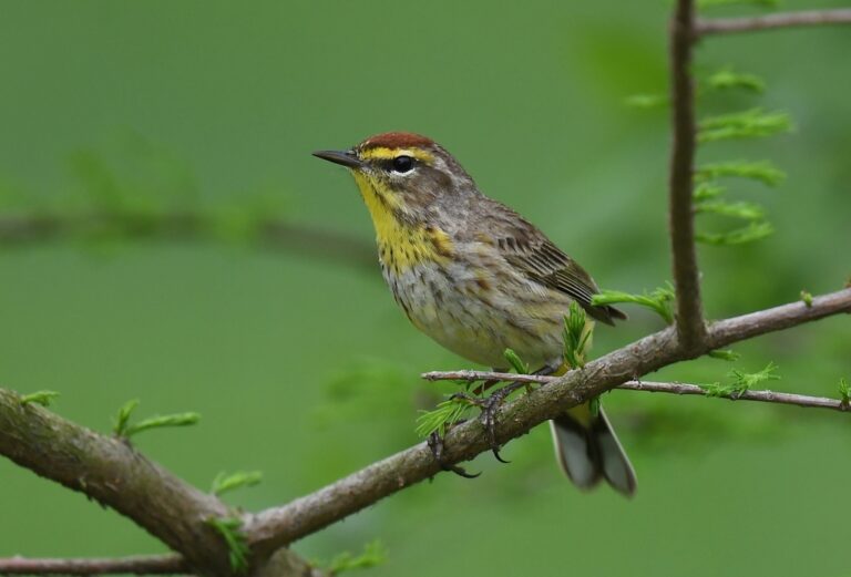
Setophaga palmarum
♥
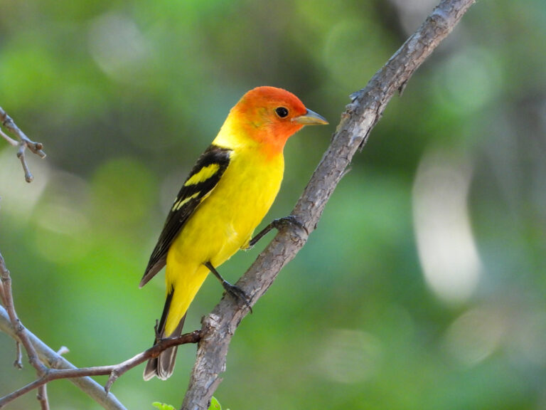
Piranga ludoviciana
♥
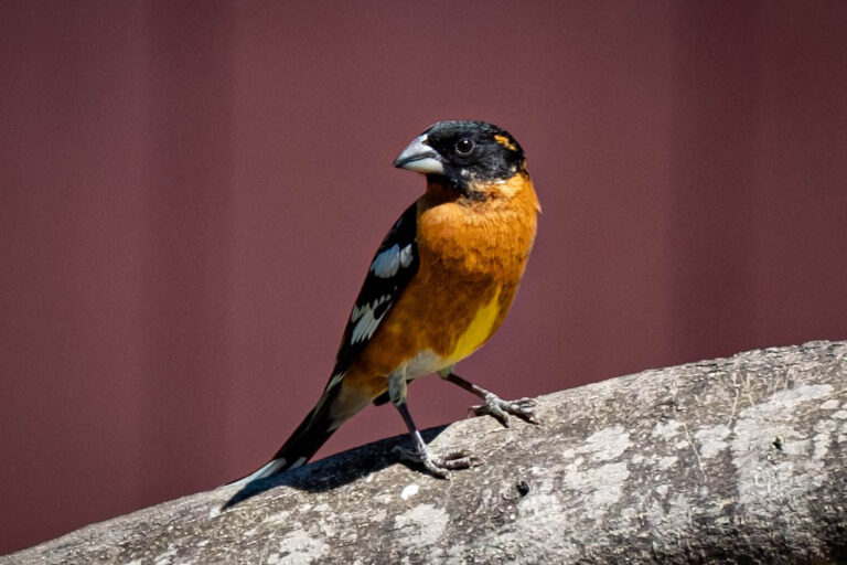
Pheucticus melanocephalus
♥
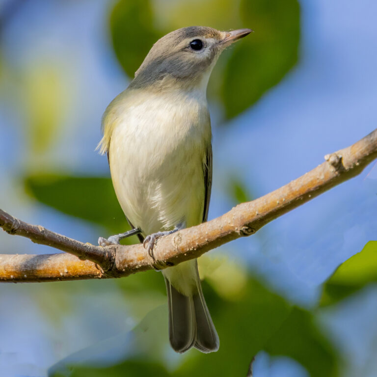
Vireo gilvus
♥
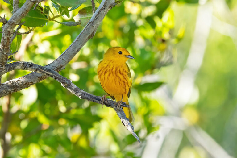
Setophaga petechia
♥
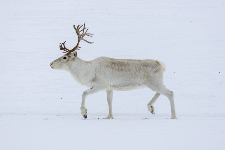
Rangifer tarandus
♥
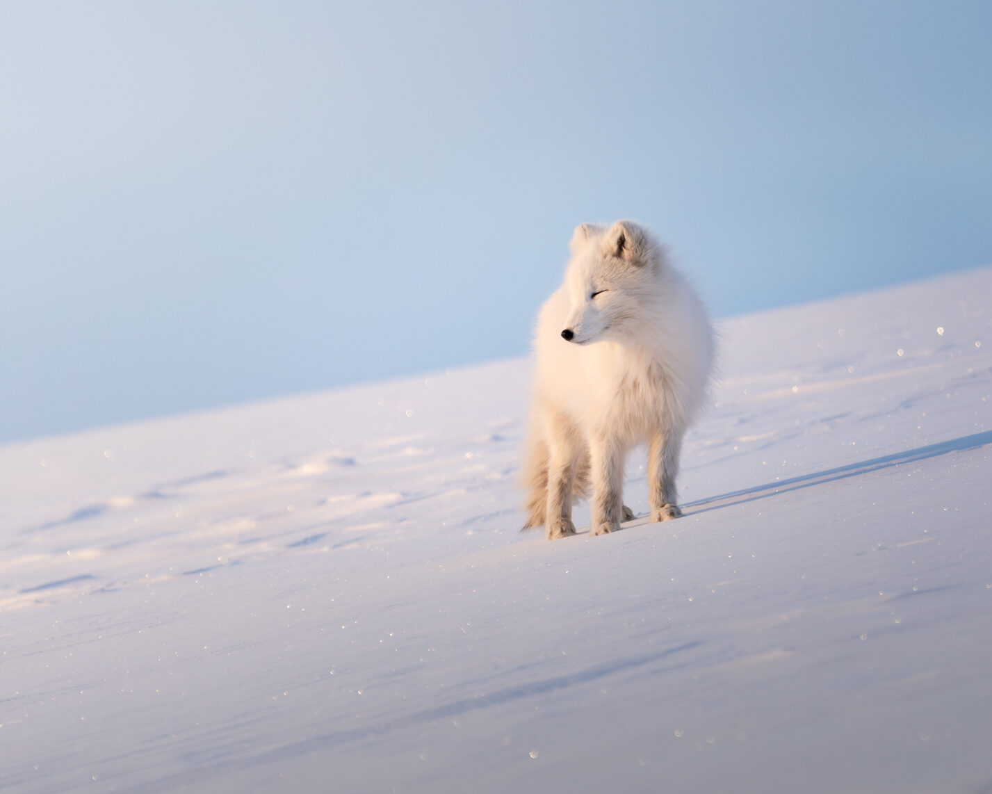
Vulpes lagopus
♥
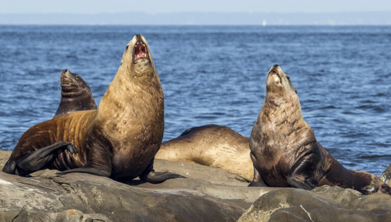
Eumetopias jubatus
♥
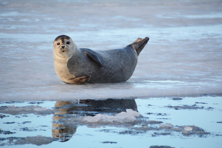
Phoca vitulina
♥
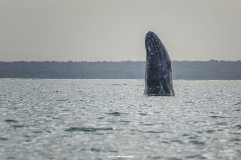
Eschrichtius robustus
♥
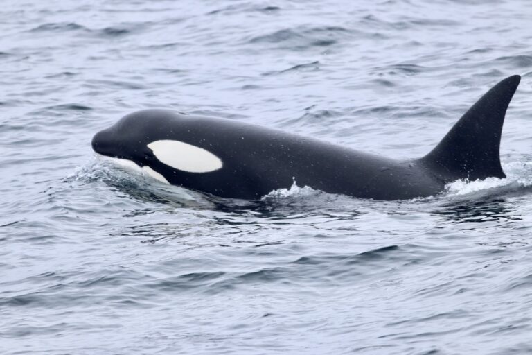
Orcinus orca
♥
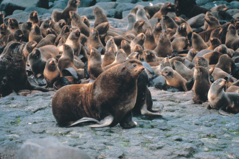
Callorhinus ursinus
♥