Average annual temperature
21.6 °C
Average of the twelve monthly means
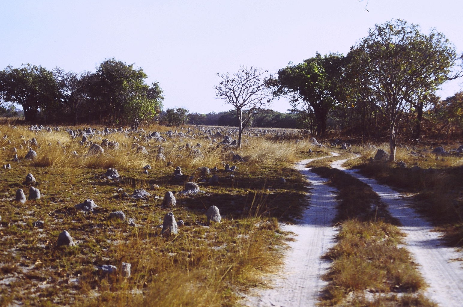
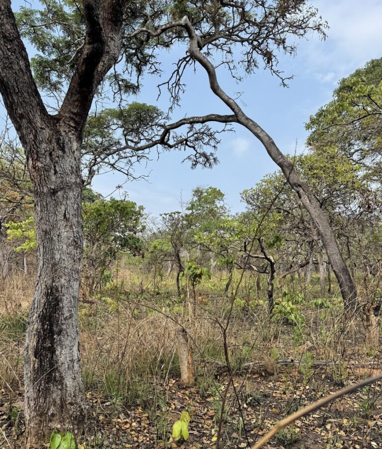
Kasanka National Park
Photo © Mehmet Karatay
Photo © Mehmet Karatay — CC BY-SA 4.0 — Source: Wikidata / Wikimedia Commons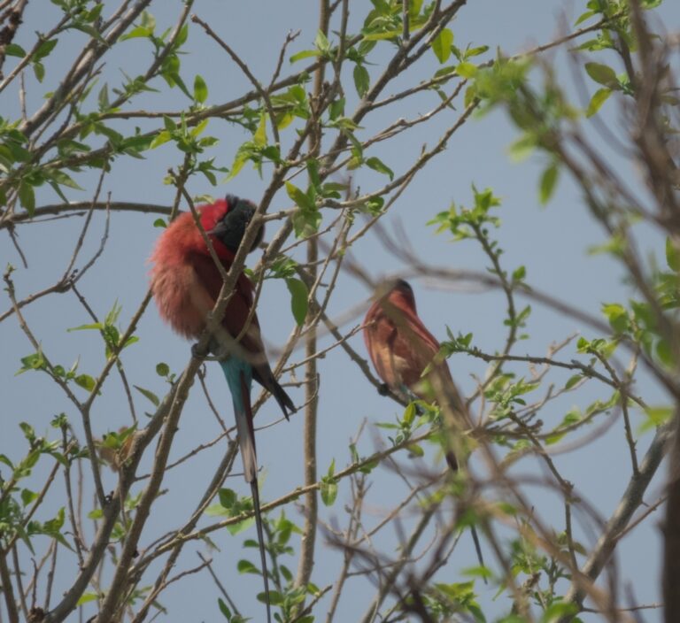
Merops nubicoides
♥
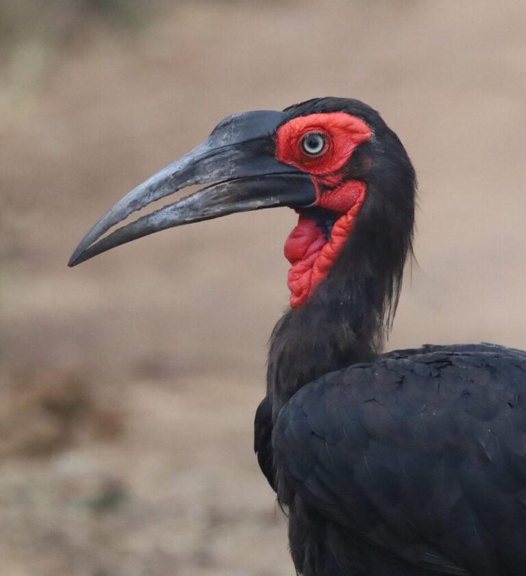
Bucorvus leadbeateri
♥
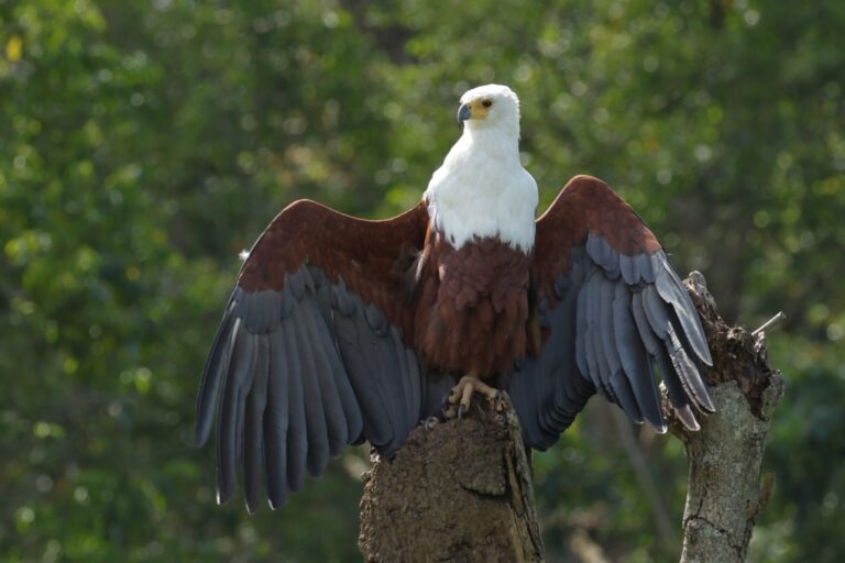
Icthyophaga vocifer
♥
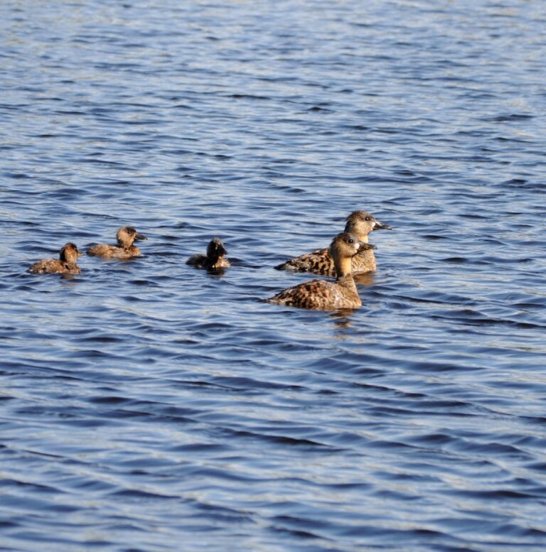
Thalassornis leuconotus
♥
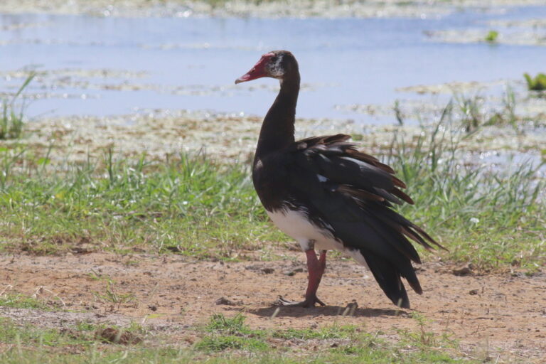
Plectropterus gambensis
♥
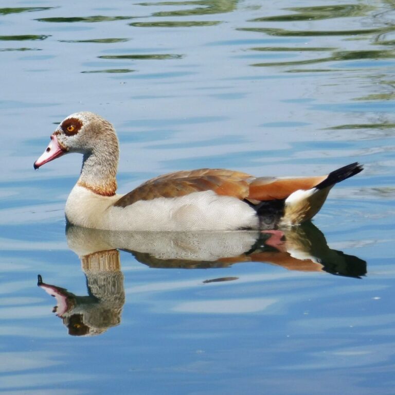
Alopochen aegyptiaca
♥
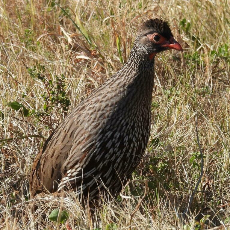
Pternistis afer
♥
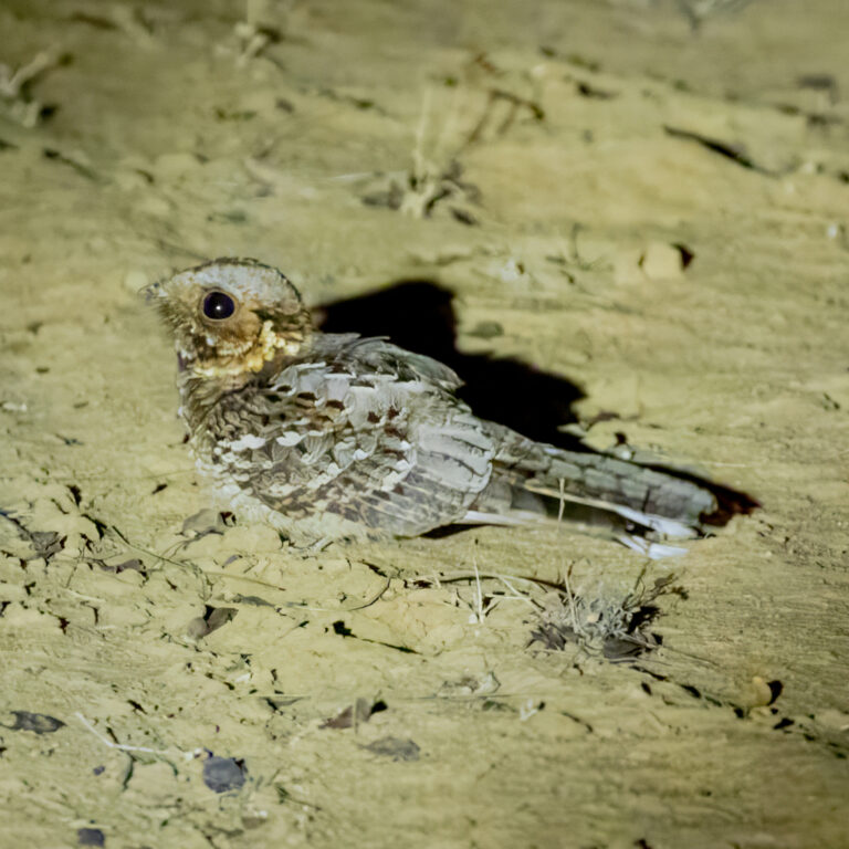
Caprimulgus pectoralis
♥
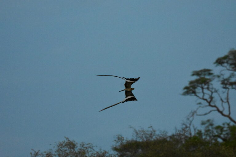
Caprimulgus vexillarius
♥
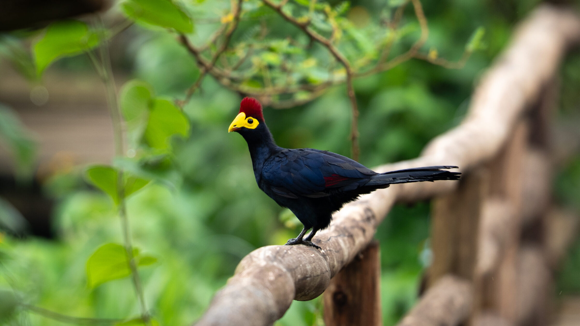
Tauraco rossae
♥
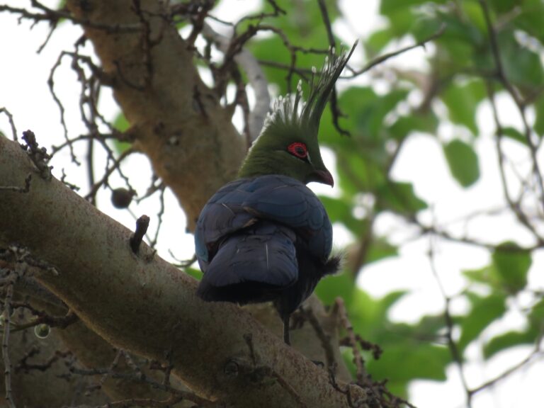
Tauraco schalowi
♥
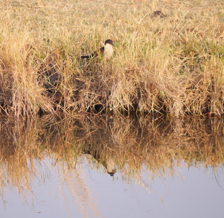
Centropus cupreicaudus
♥
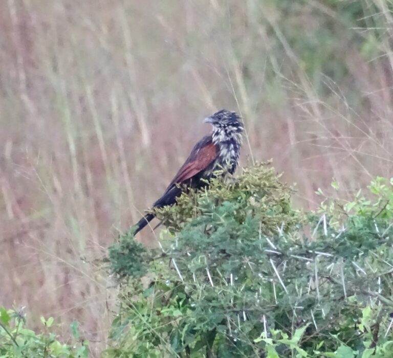
Centropus grillii
♥
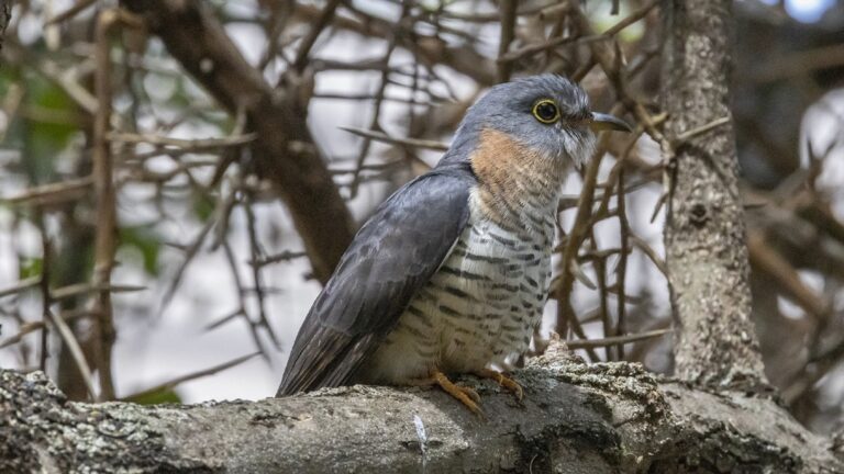
Cuculus solitarius
♥
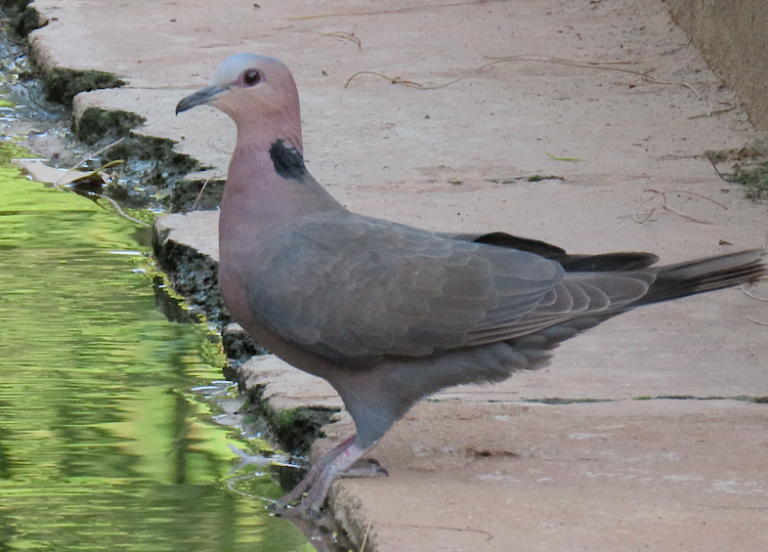
Streptopelia semitorquata
♥
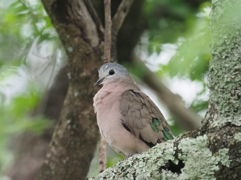
Turtur chalcospilos
♥
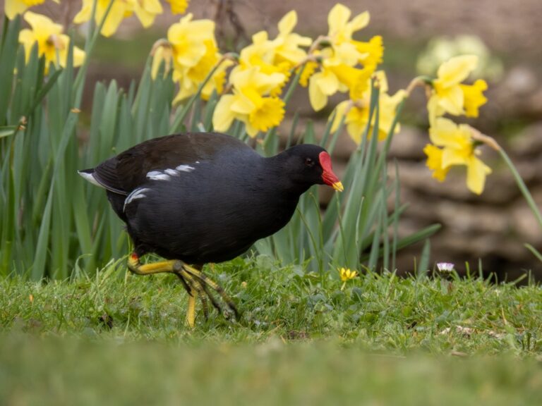
Gallinula chloropus
♥
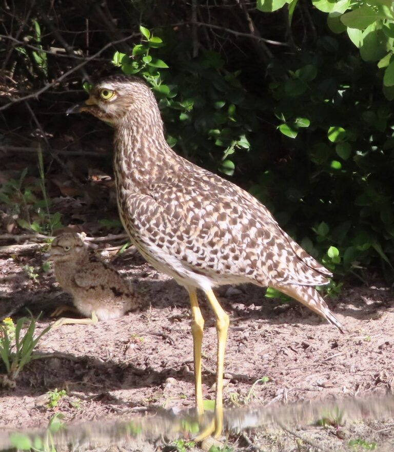
Burhinus capensis
♥
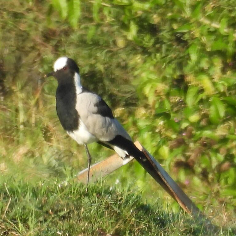
Vanellus armatus
♥
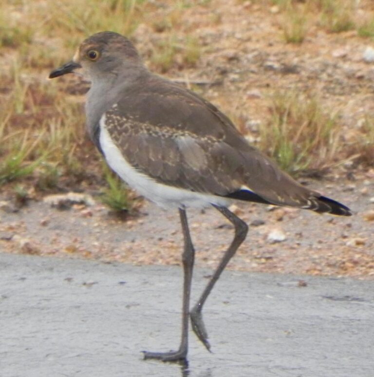
Vanellus lugubris
♥
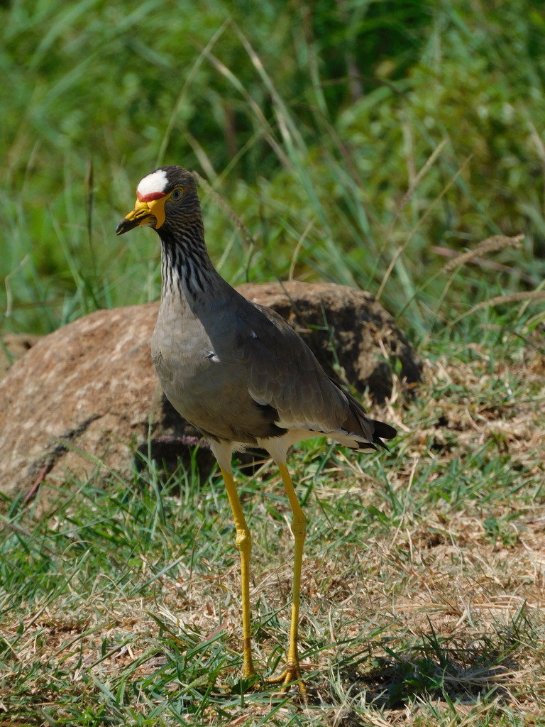
Vanellus senegallus
♥
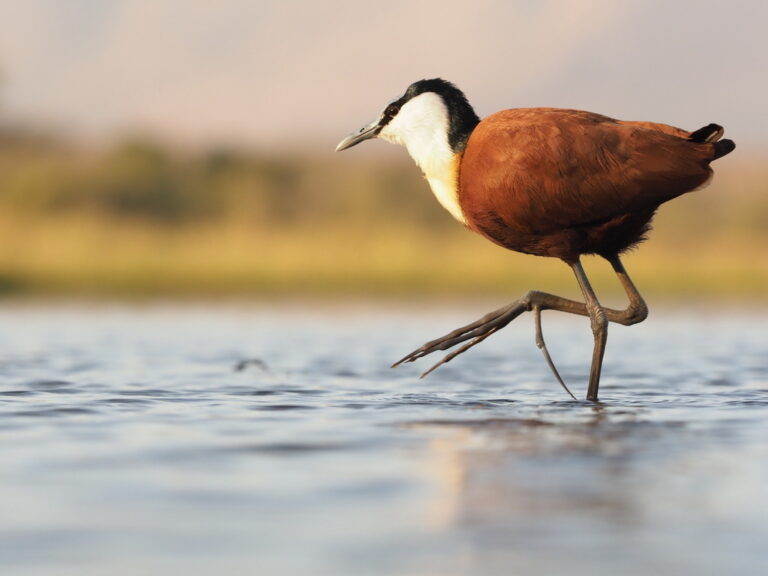
Actophilornis africanus
♥
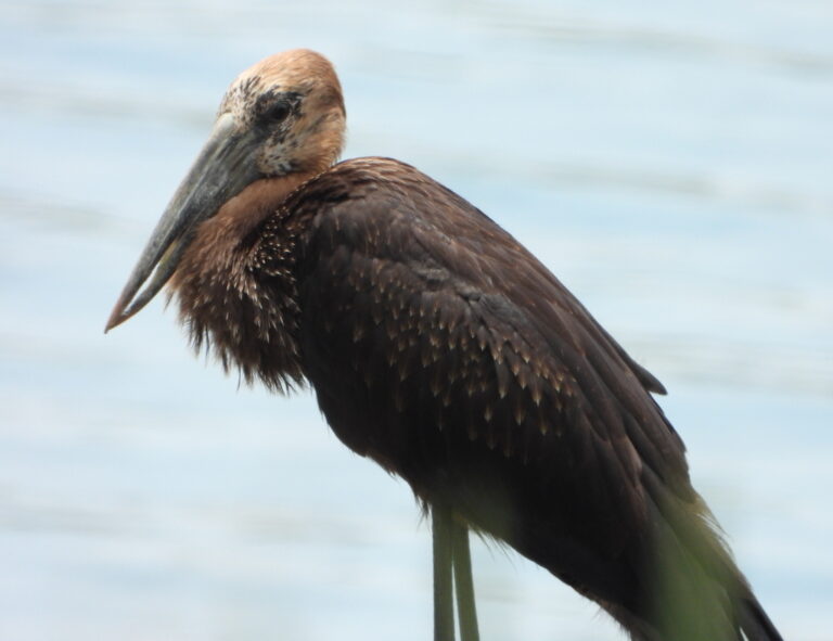
Anastomus lamelligerus
♥
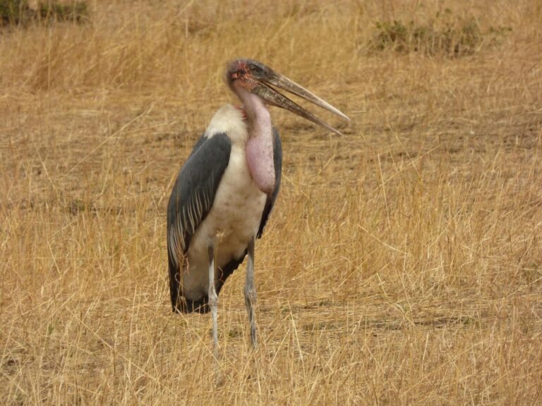
Leptoptilos crumenifer
♥
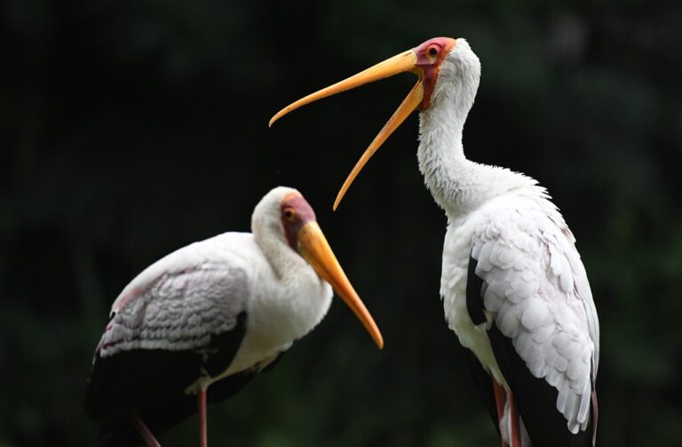
Mycteria ibis
♥
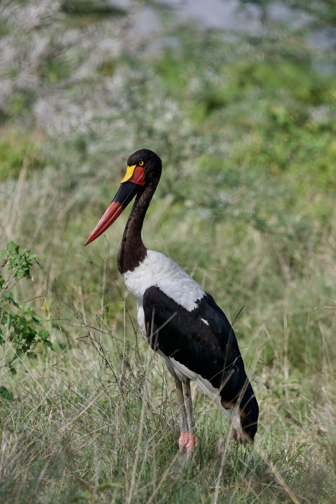
Ephippiorhynchus senegalensis
♥
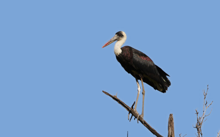
Ciconia microscelis
♥
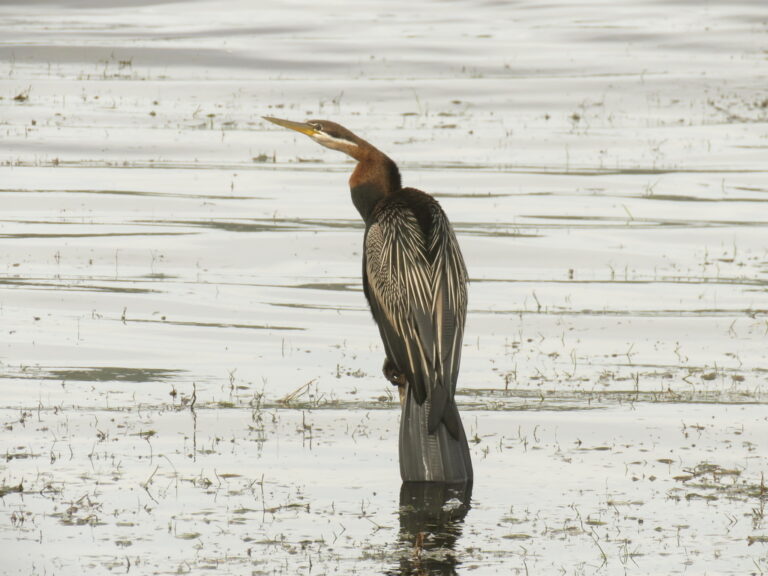
Anhinga rufa
♥
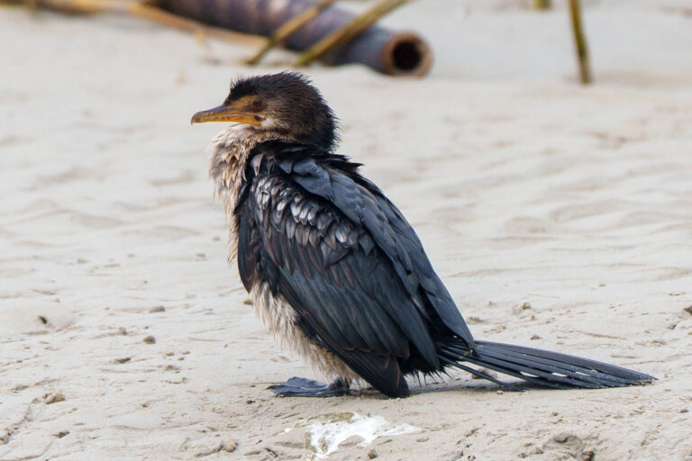
Microcarbo africanus
♥
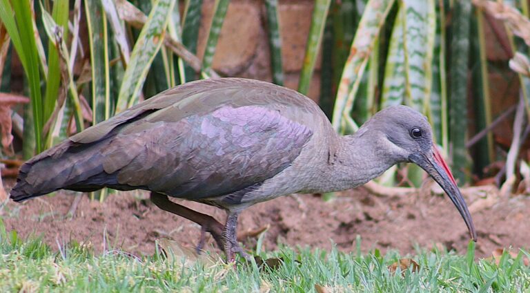
Bostrychia hagedash
♥
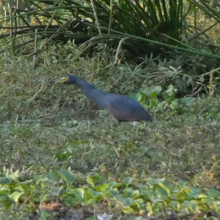
Ardeola rufiventris
♥
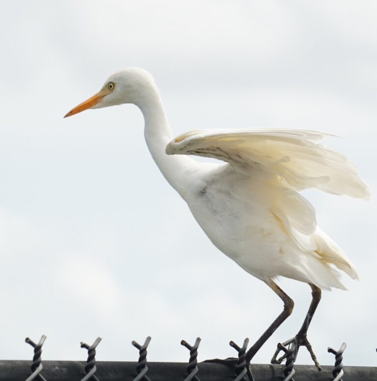
Ardea ibis
♥
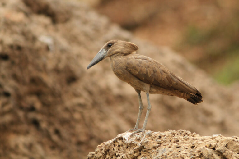
Scopus umbretta
♥
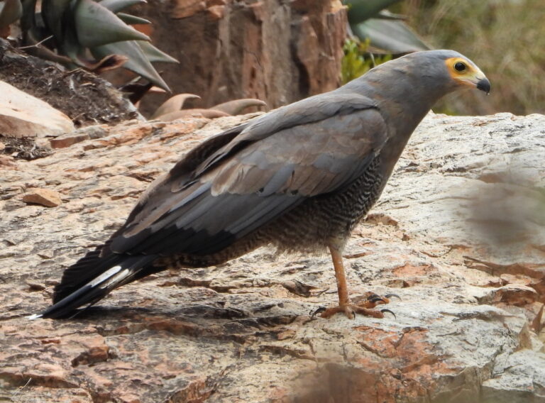
Polyboroides typus
♥
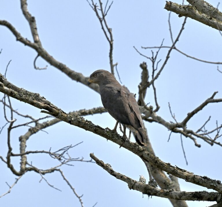
Circaetus cinerascens
♥
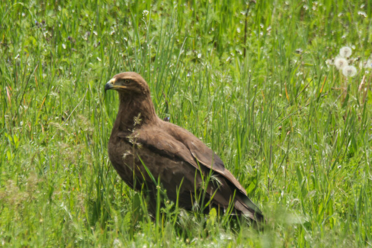
Clanga pomarina
♥
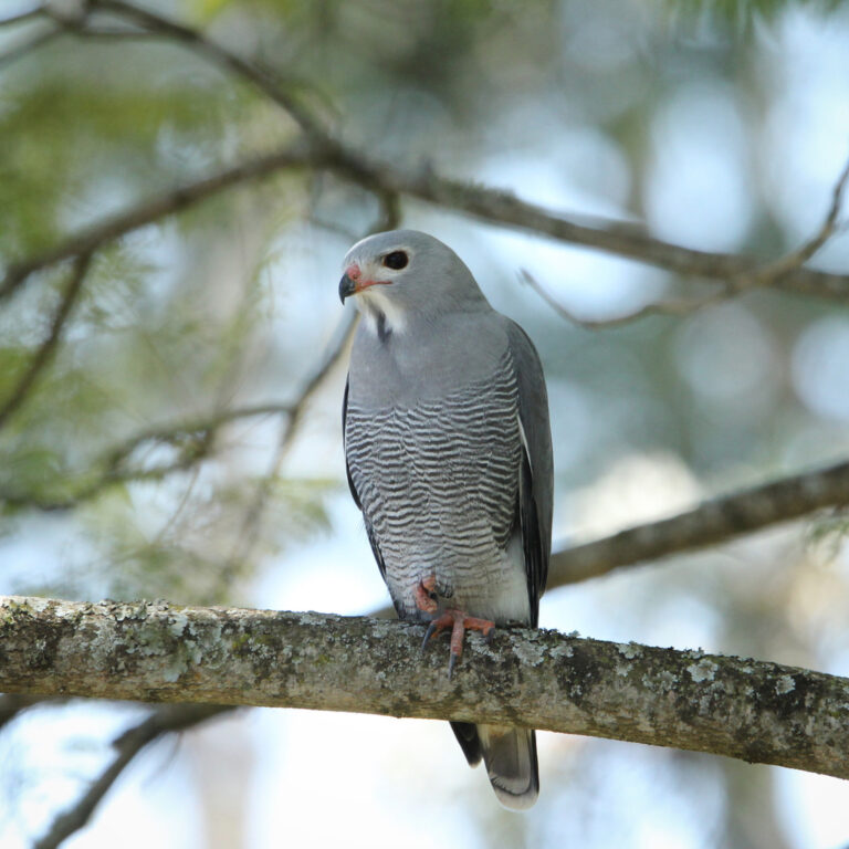
Kaupifalco monogrammicus
♥
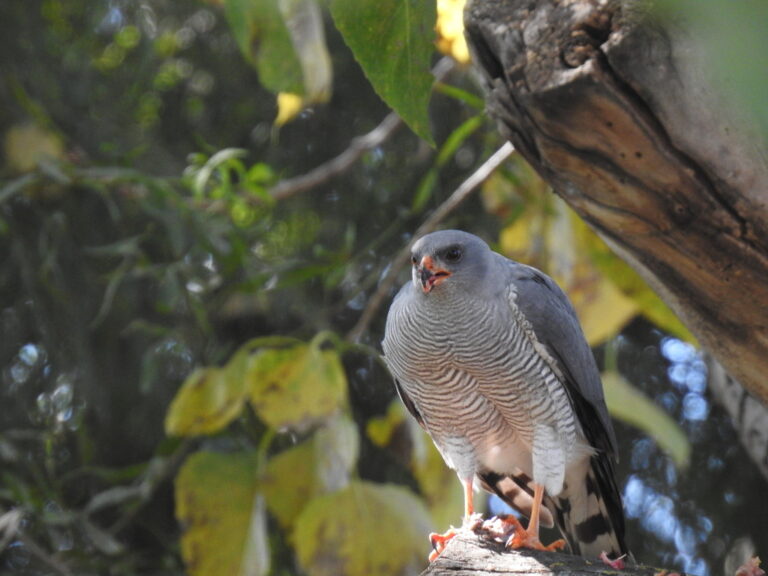
Accipiter ovampensis
♥
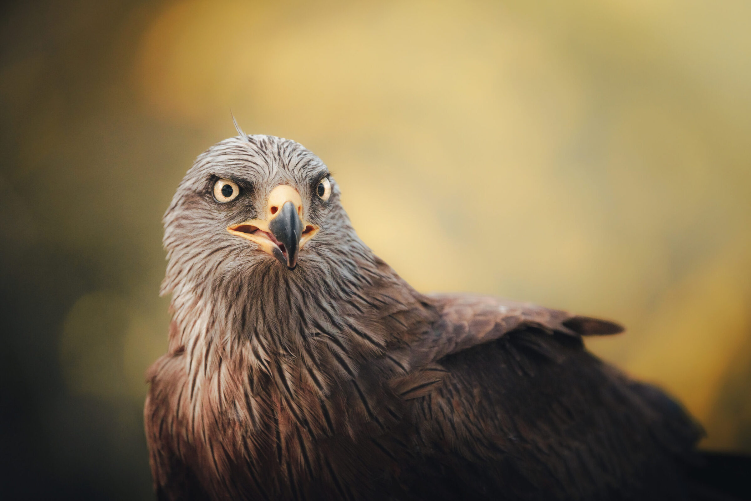
Milvus migrans
♥
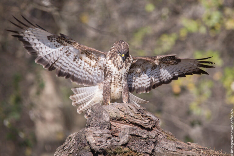
Buteo buteo
♥
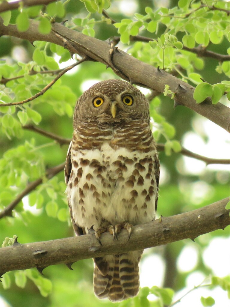
Glaucidium capense
♥
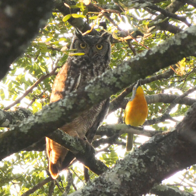
Bubo africanus
♥
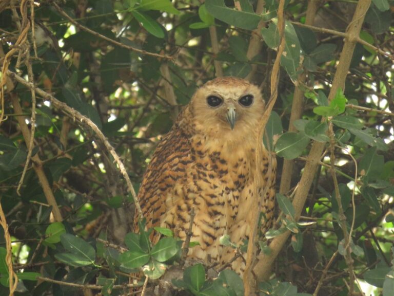
Scotopelia peli
♥
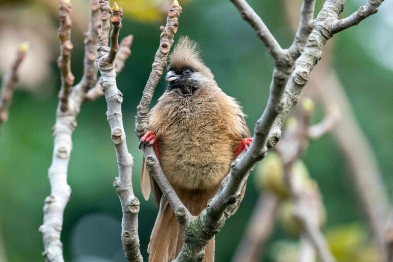
Colius striatus
♥
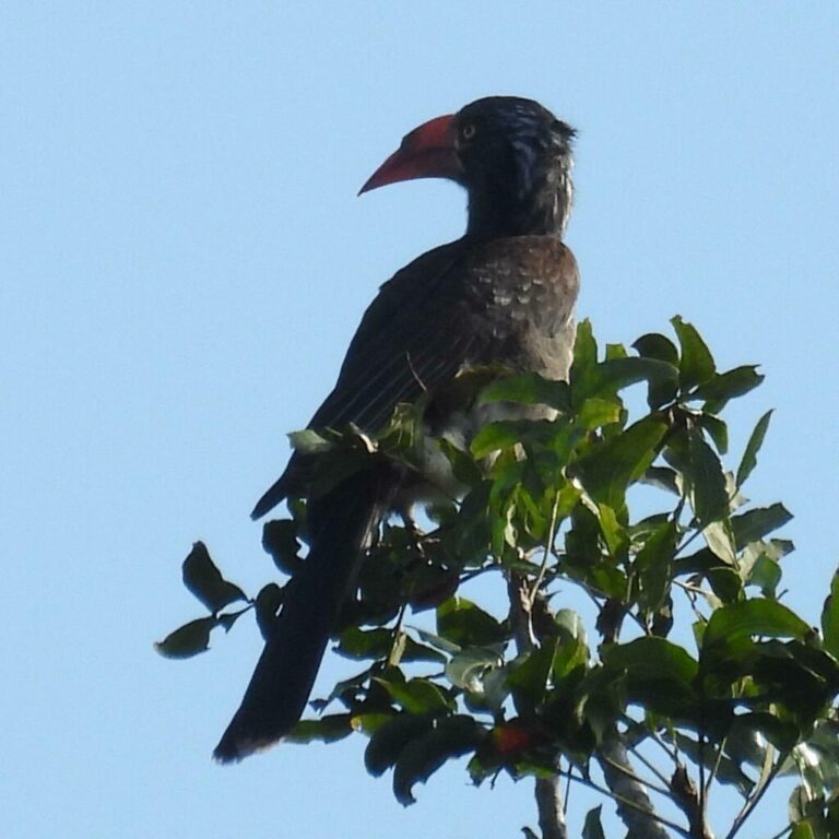
Lophoceros alboterminatus
♥
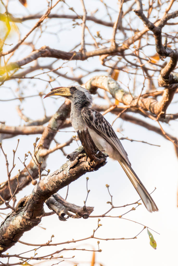
Lophoceros pallidirostris
♥
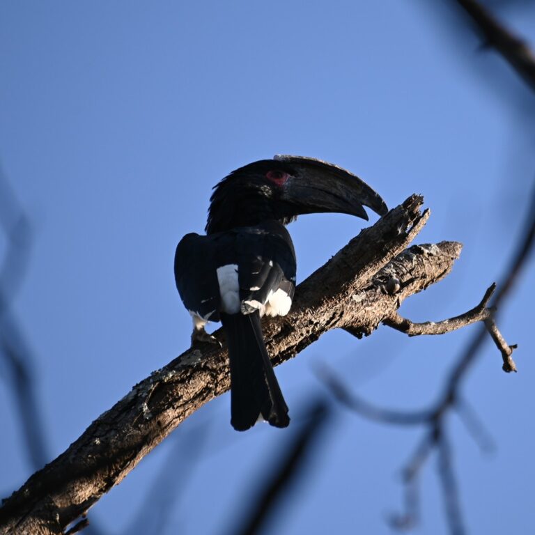
Bycanistes bucinator
♥
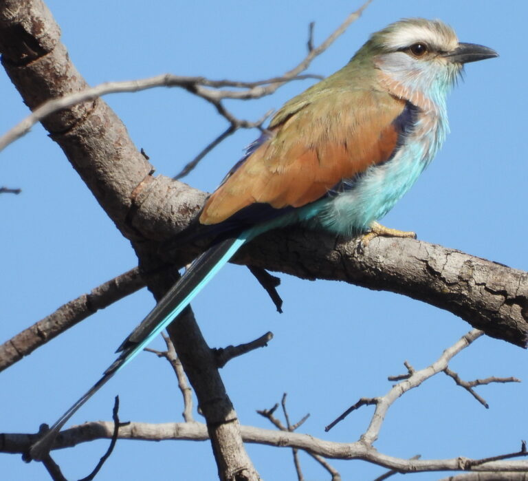
Coracias spatulatus
♥
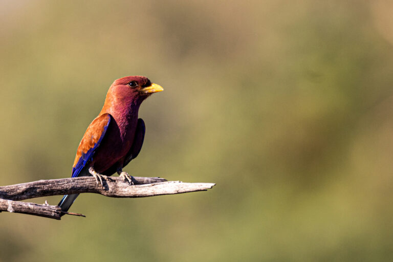
Eurystomus glaucurus
♥
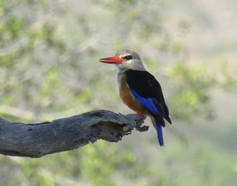
Halcyon leucocephala
♥
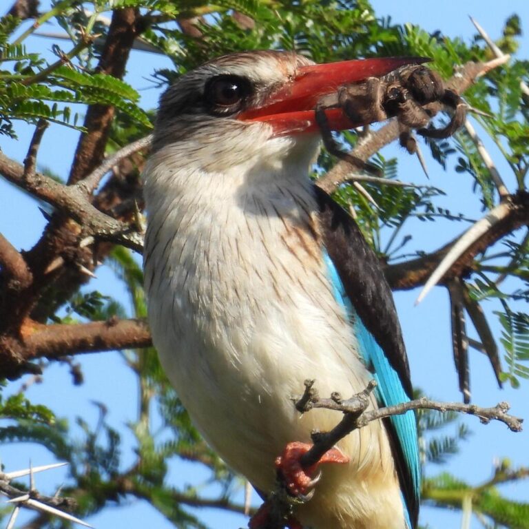
Halcyon albiventris
♥
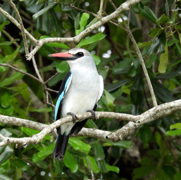
Halcyon senegalensis
♥
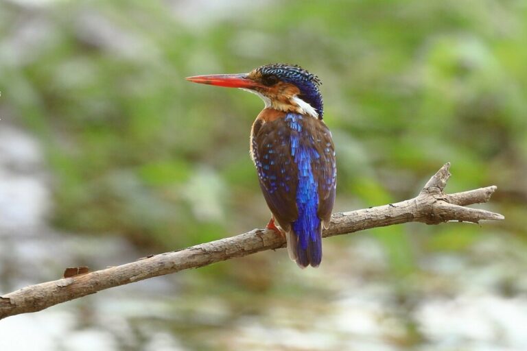
Corythornis cristatus
♥
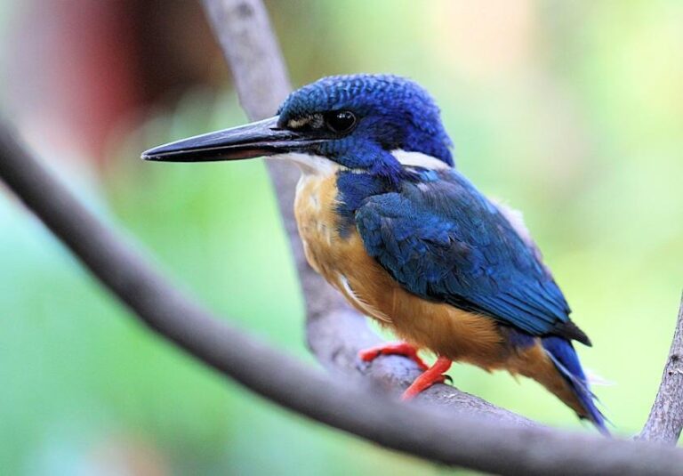
Alcedo semitorquata
♥
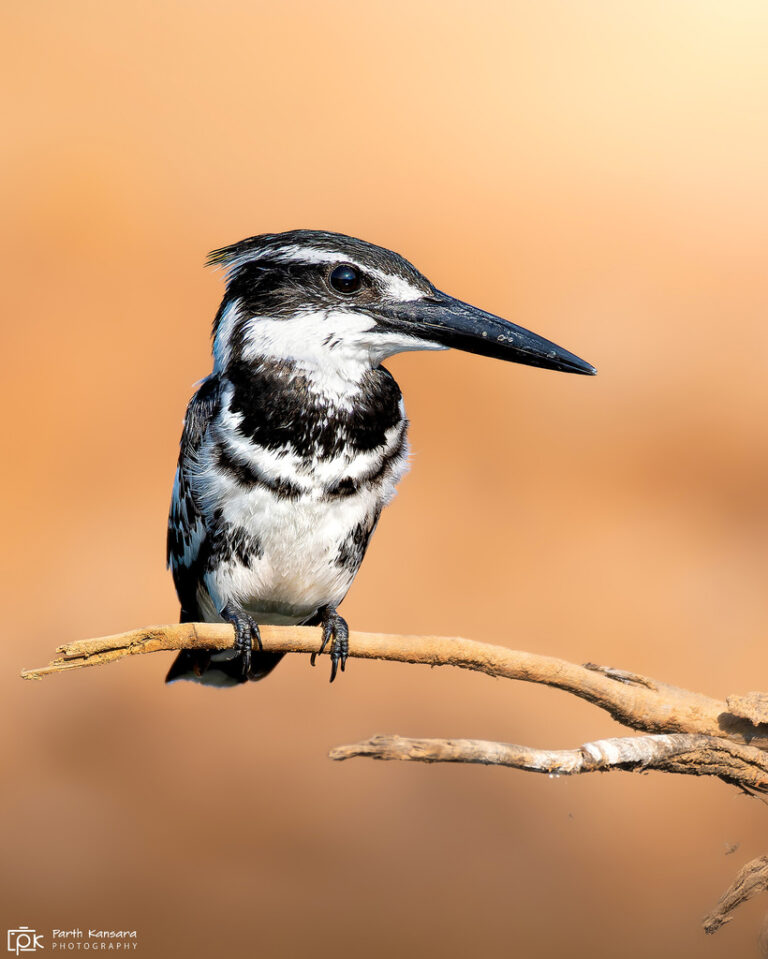
Ceryle rudis
♥
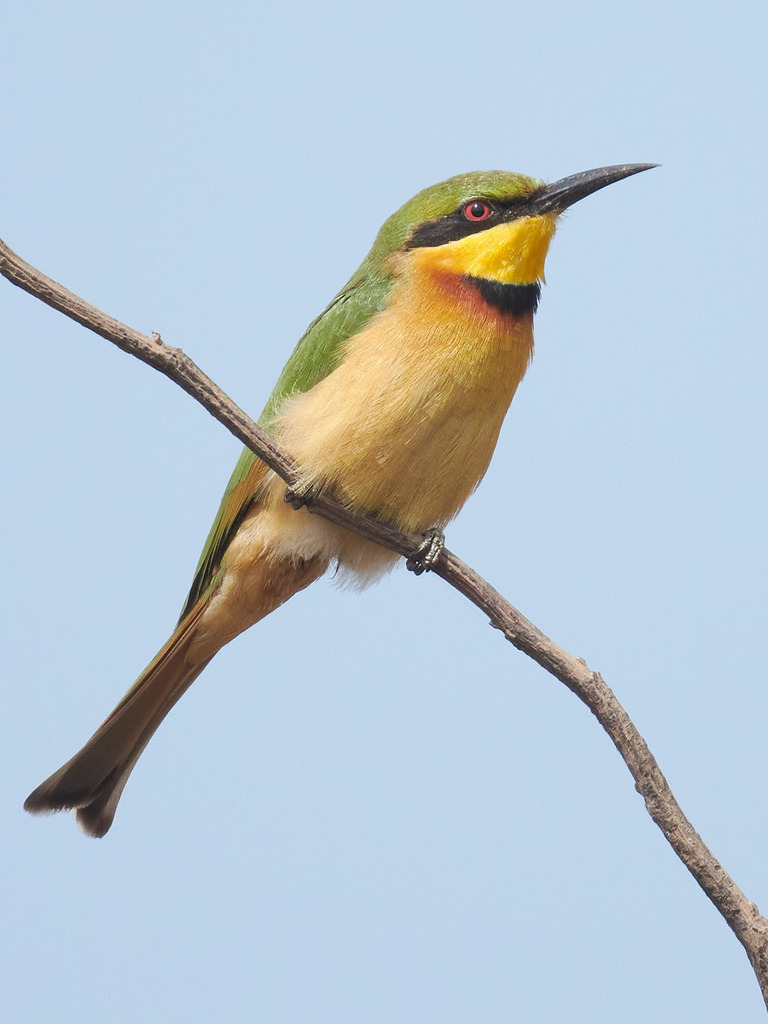
Merops pusillus
♥
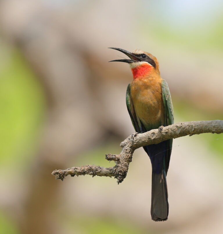
Merops bullockoides
♥
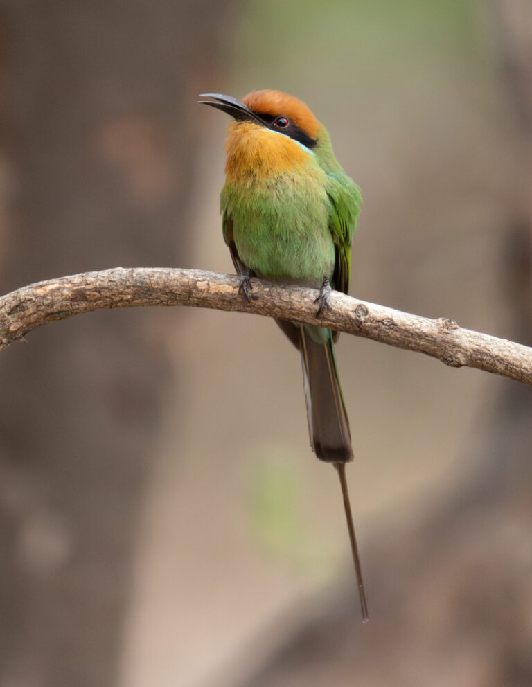
Merops boehmi
♥
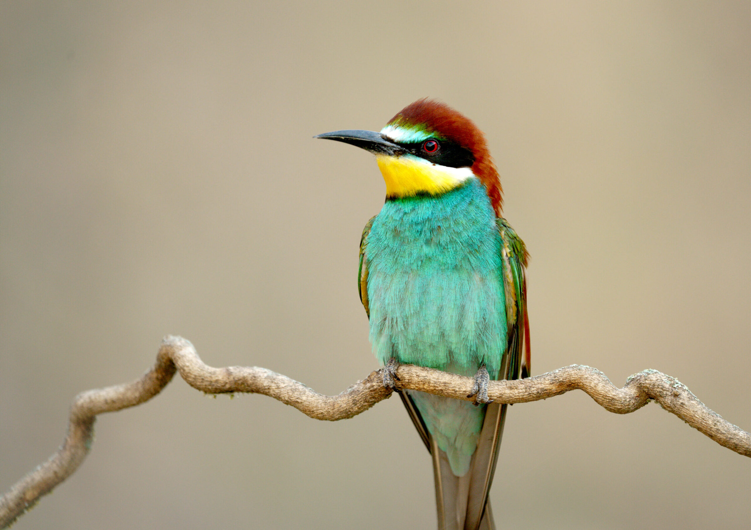
Merops apiaster
♥
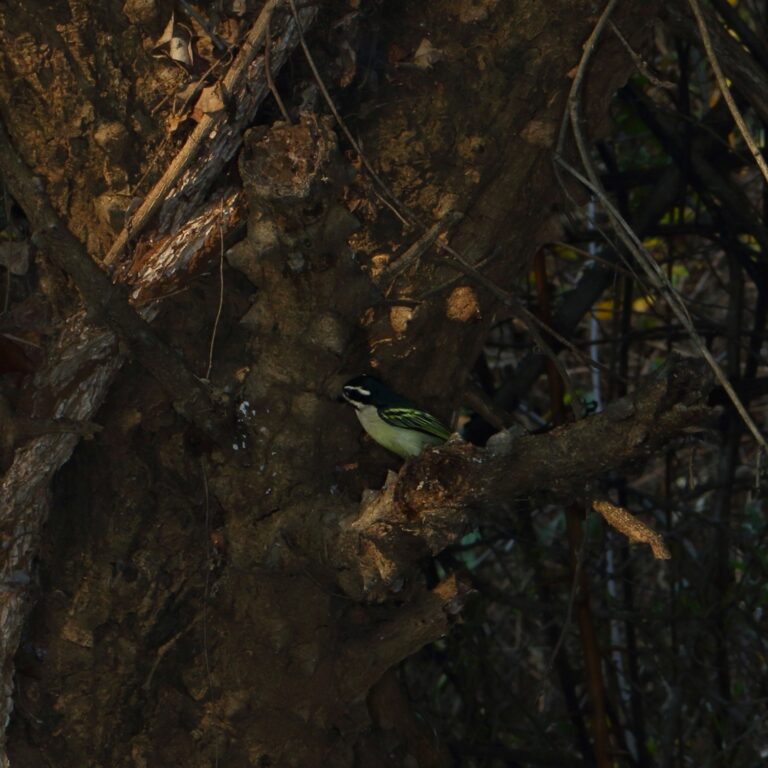
Pogoniulus bilineatus
♥
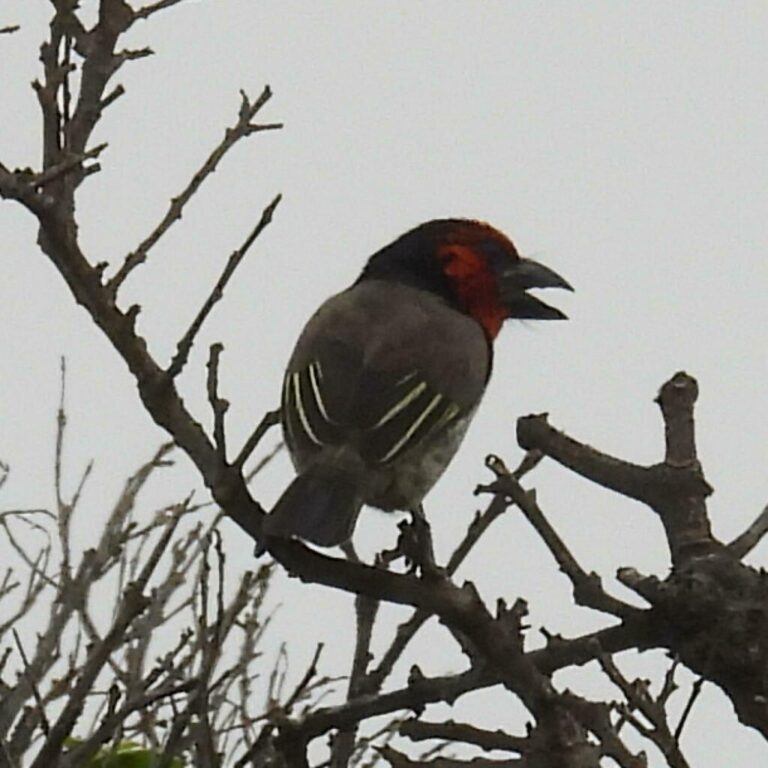
Lybius torquatus
♥
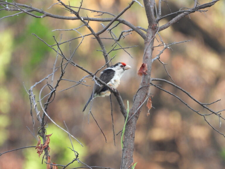
Pogonornis minor
♥
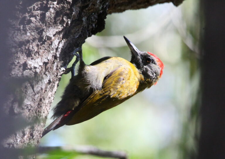
Dendropicos griseocephalus
♥
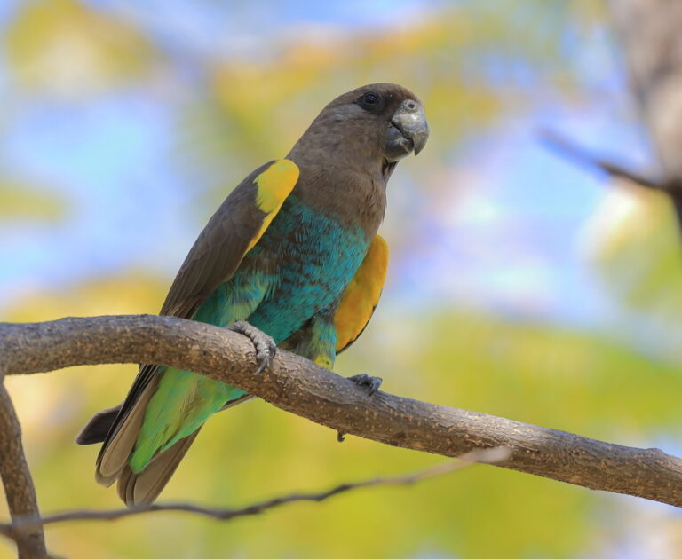
Poicephalus meyeri
♥
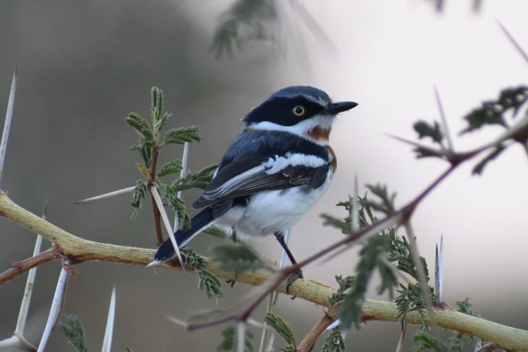
Batis molitor
♥
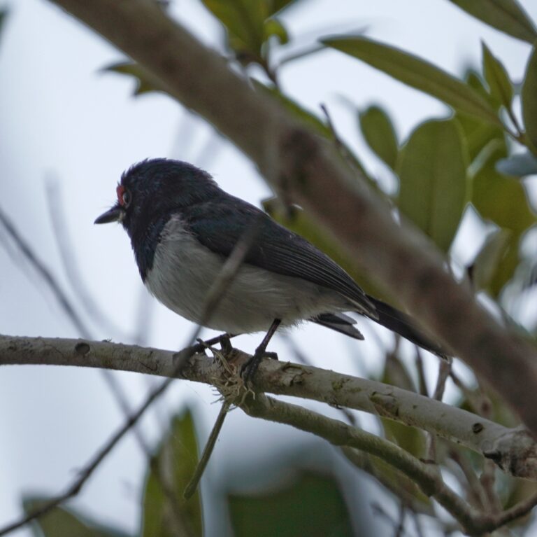
Platysteira peltata
♥
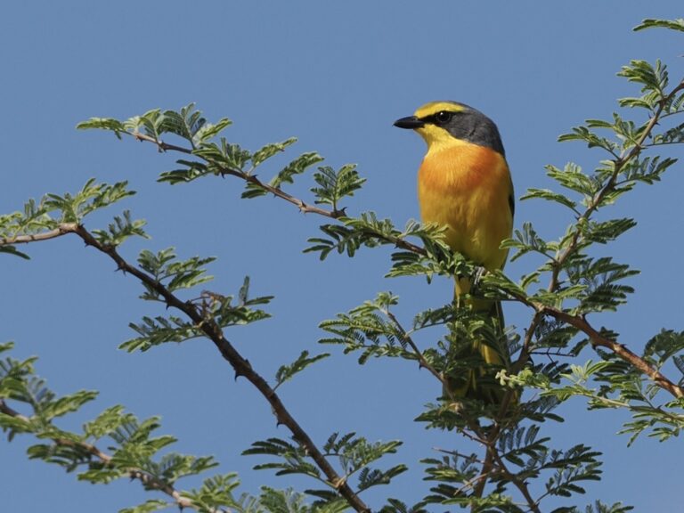
Chlorophoneus sulfureopectus
♥
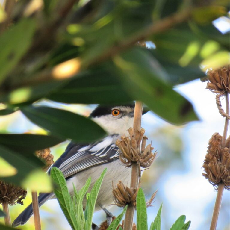
Dryoscopus cubla
♥
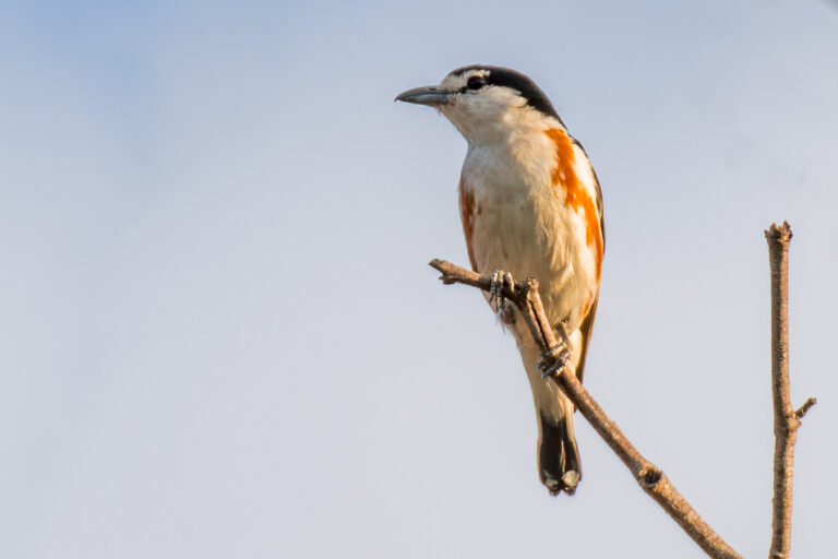
Nilaus afer
♥
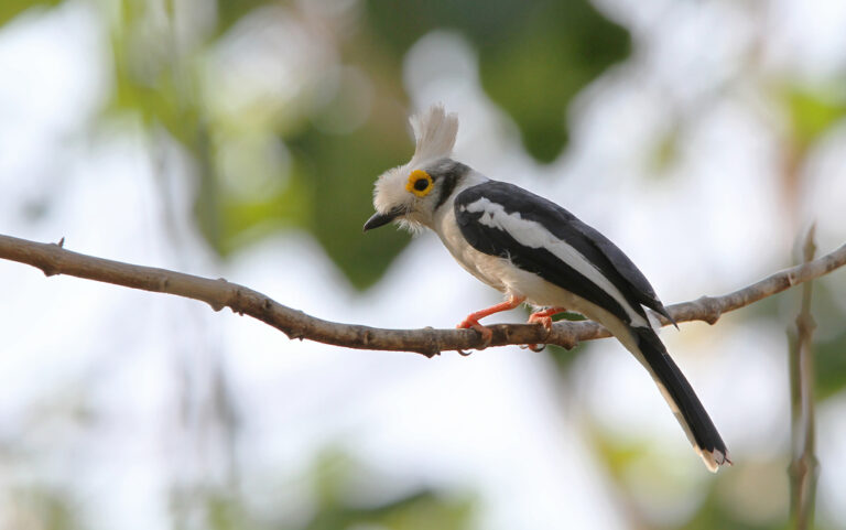
Prionops plumatus
♥
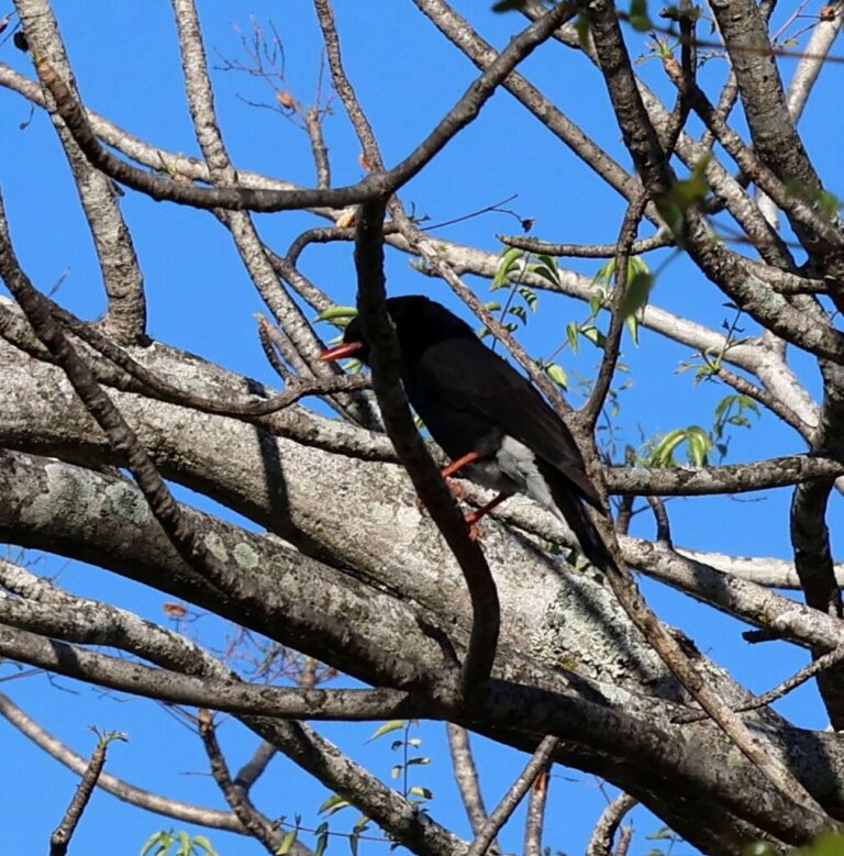
Prionops retzii
♥
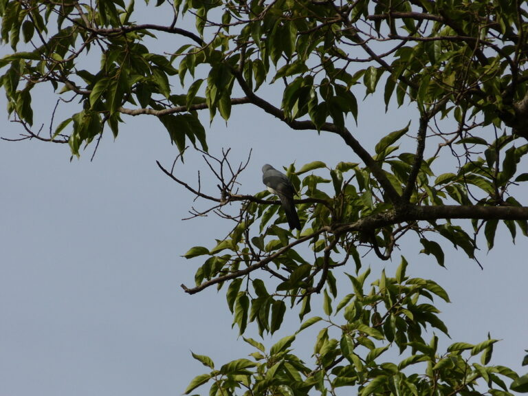
Ceblepyris pectoralis
♥
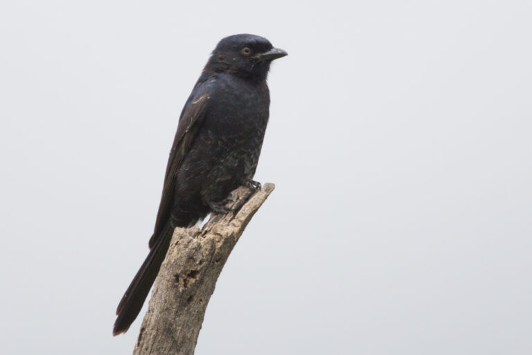
Dicrurus adsimilis
♥
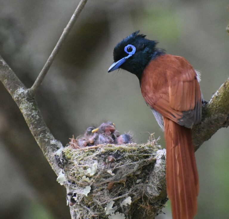
Terpsiphone viridis
♥
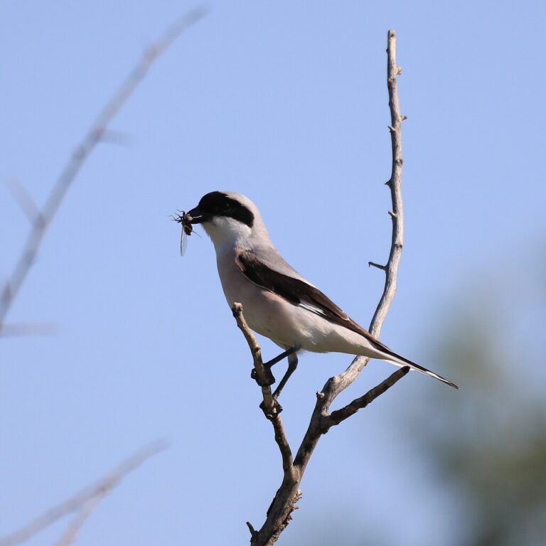
Lanius minor
♥
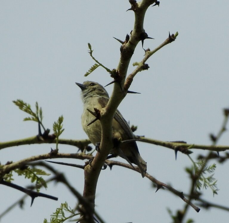
Anthoscopus caroli
♥
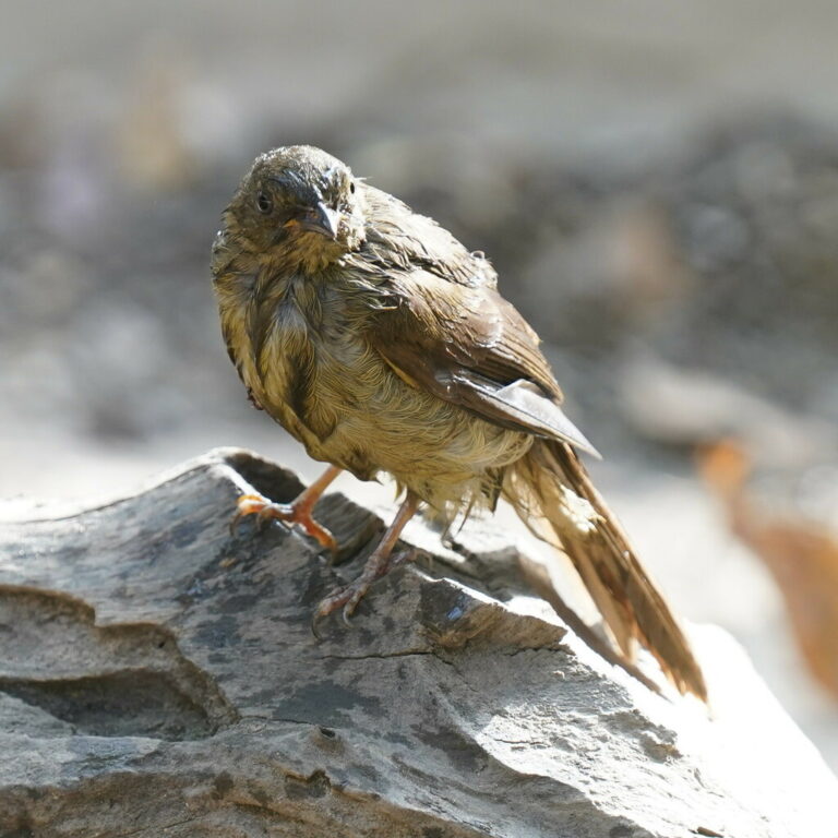
Eurillas virens
♥
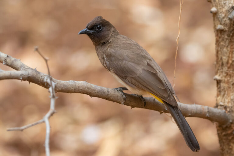
Pycnonotus barbatus
♥
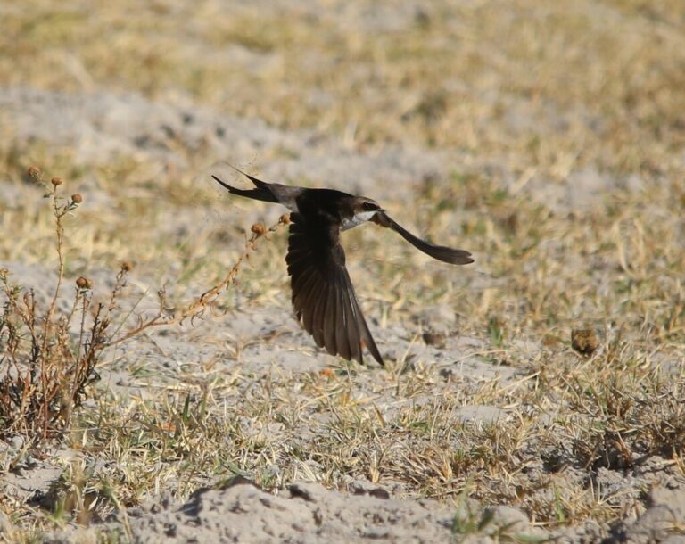
Pseudhirundo griseopyga
♥
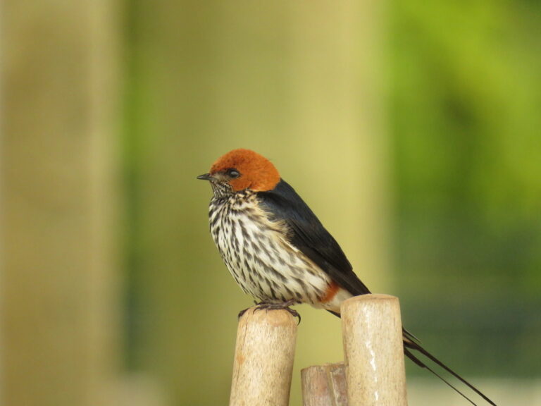
Cecropis abyssinica
♥
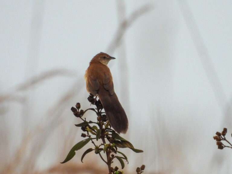
Catriscus brevirostris
♥
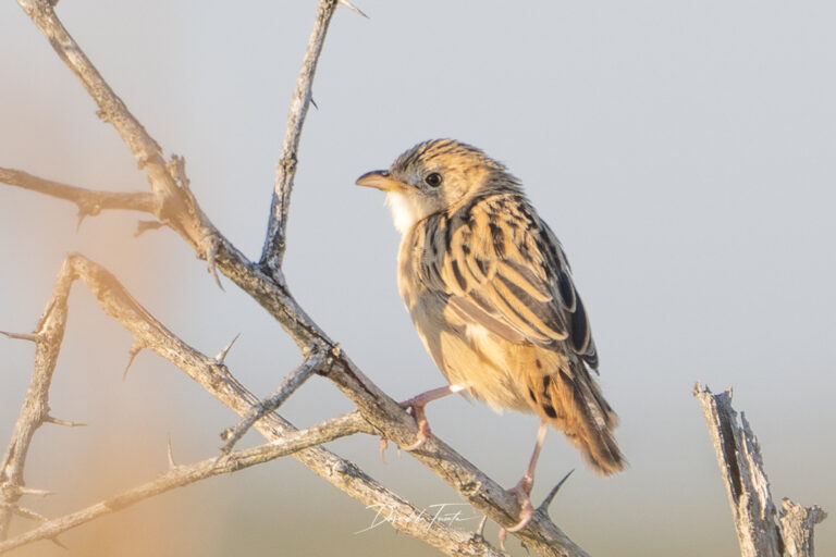
Cisticola natalensis
♥
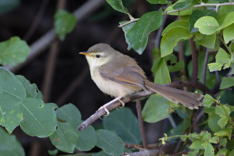
Prinia subflava
♥
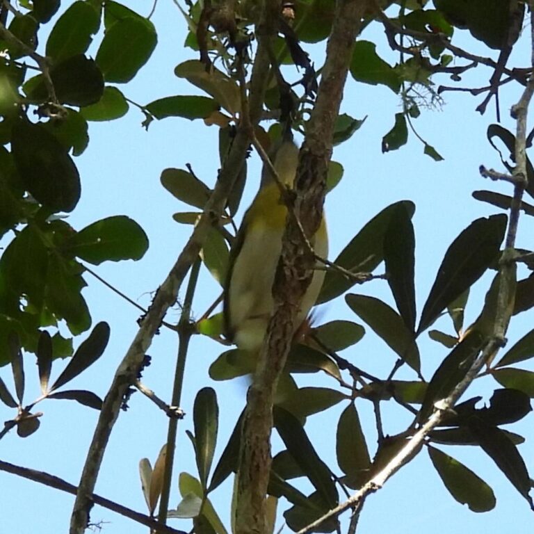
Apalis flavida
♥
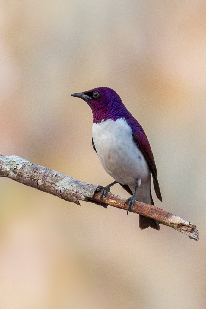
Cinnyricinclus leucogaster
♥
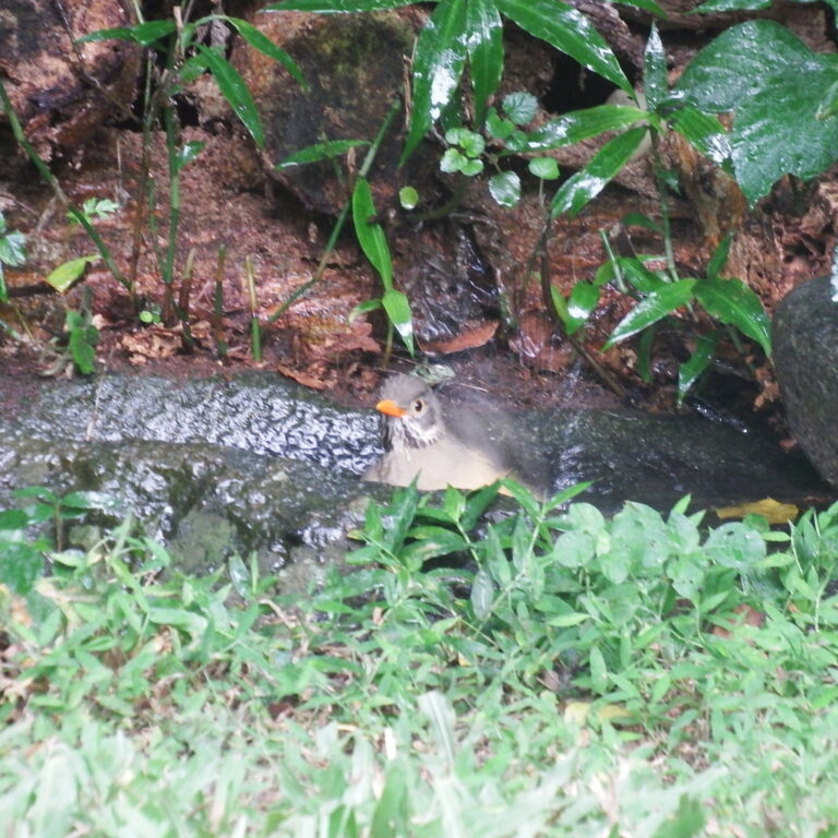
Turdus libonyana
♥
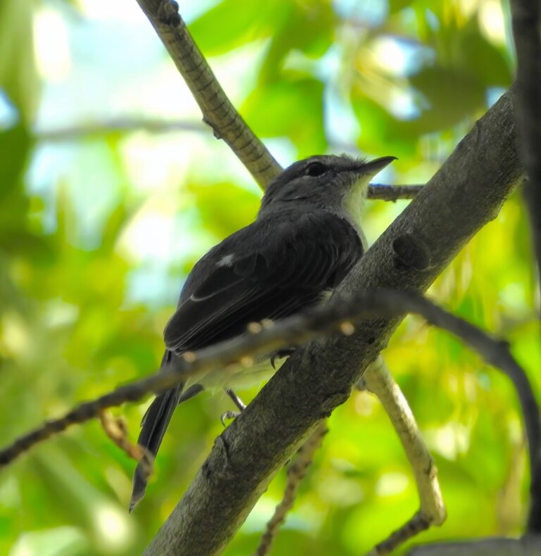
Fraseria caerulescens
♥
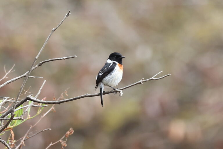
Saxicola torquatus
♥
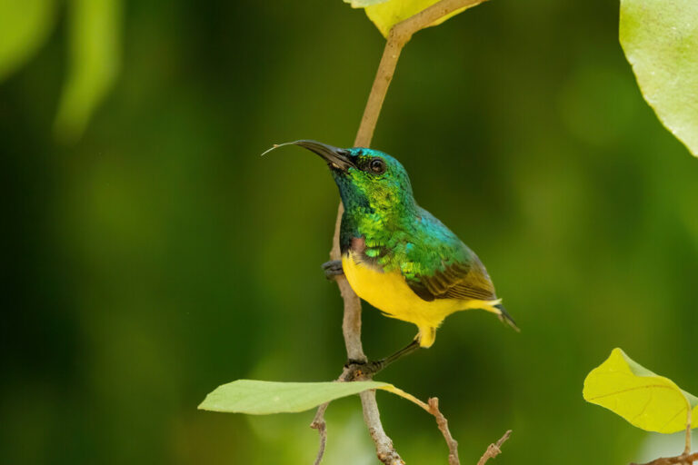
Hedydipna collaris
♥
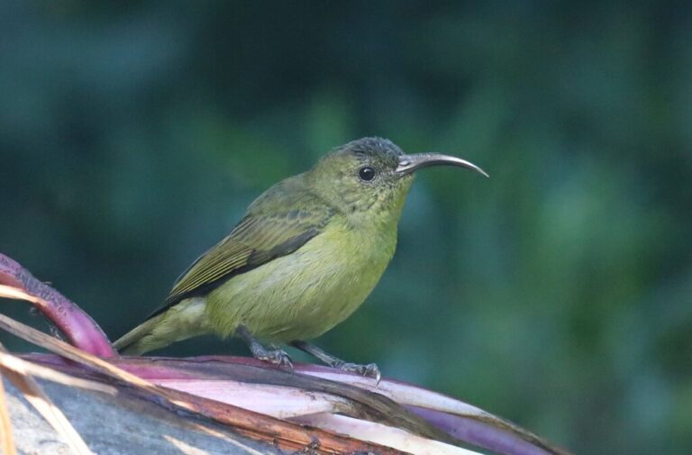
Cyanomitra olivacea
♥
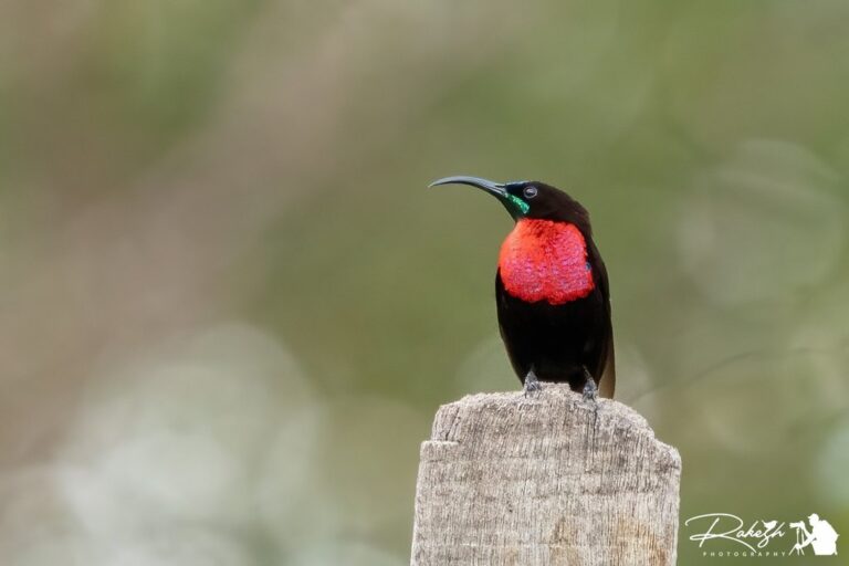
Chalcomitra senegalensis
♥
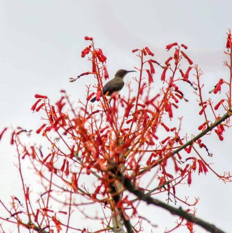
Cinnyris cupreus
♥
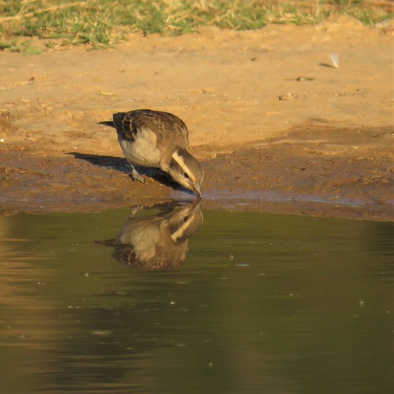
Gymnoris superciliaris
♥
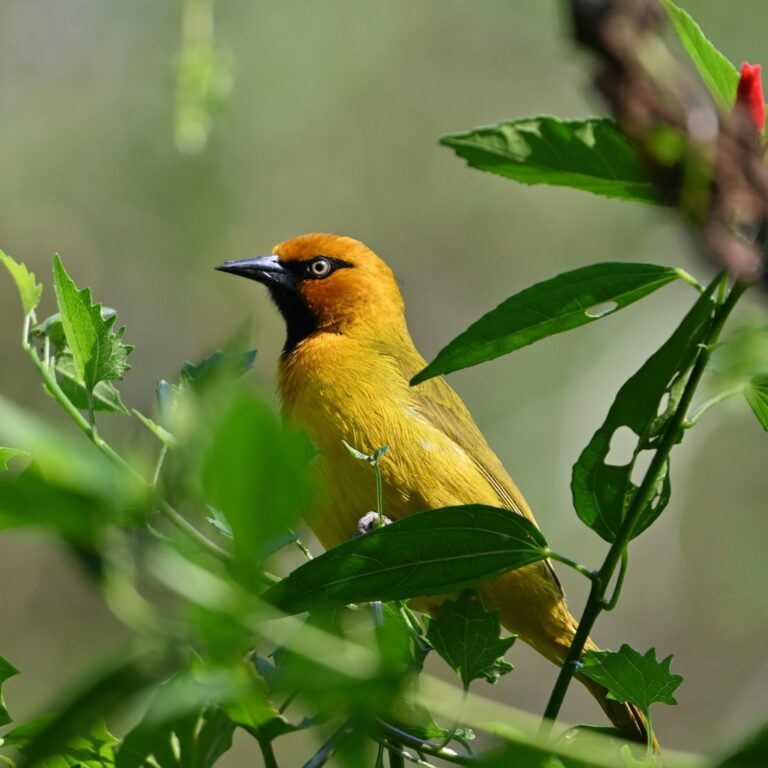
Ploceus ocularis
♥
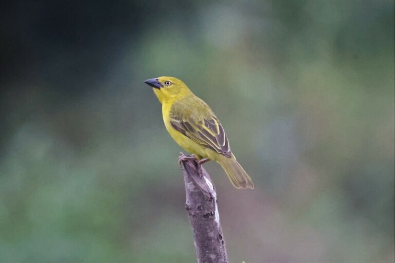
Ploceus xanthops
♥
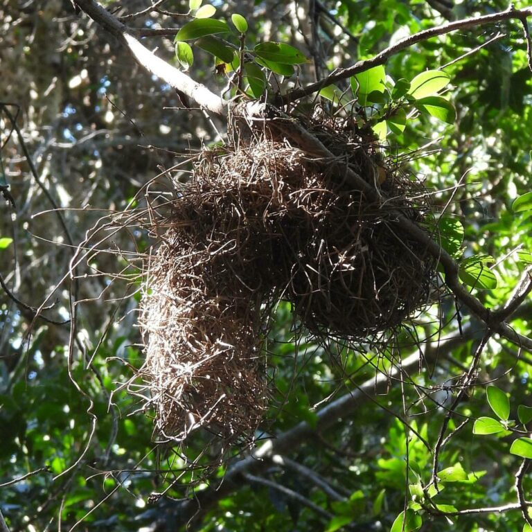
Ploceus bicolor
♥
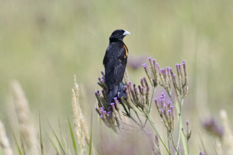
Euplectes axillaris
♥
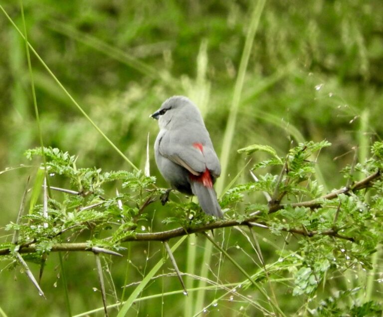
Glaucestrilda perreini
♥
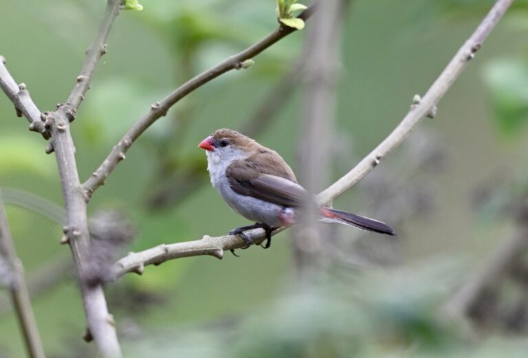
Estrilda paludicola
♥
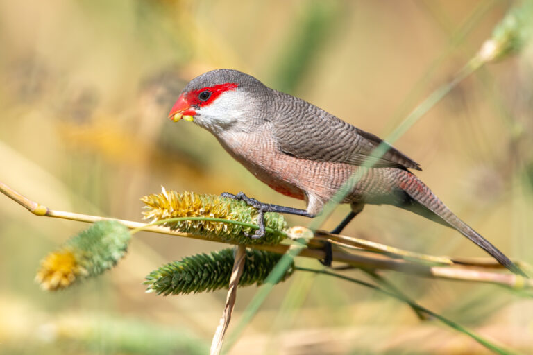
Estrilda astrild
♥
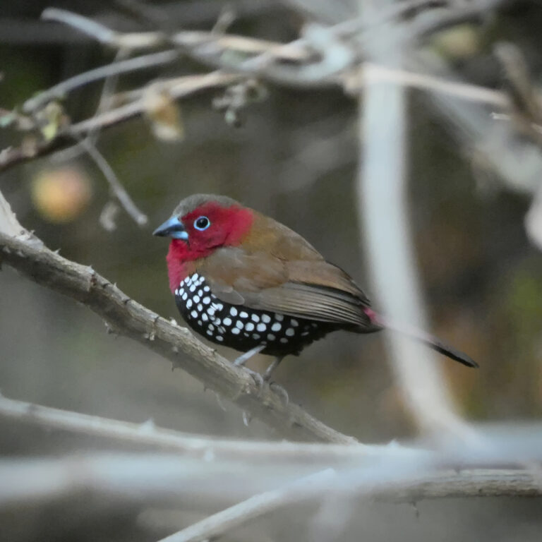
Hypargos niveoguttatus
♥
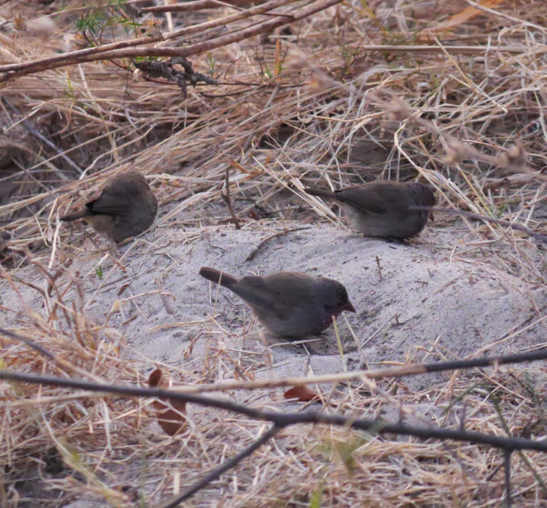
Lagonosticta nitidula
♥
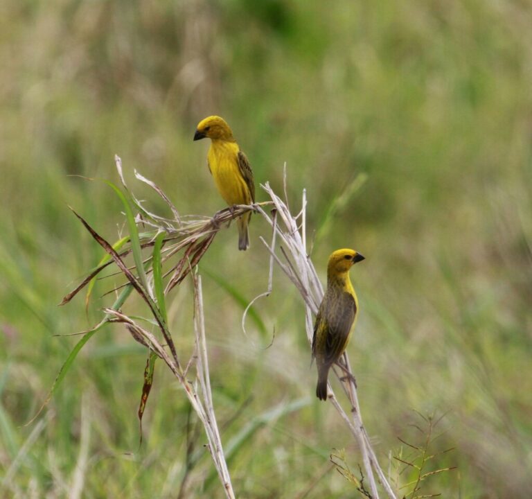
Anomalospiza imberbis
♥
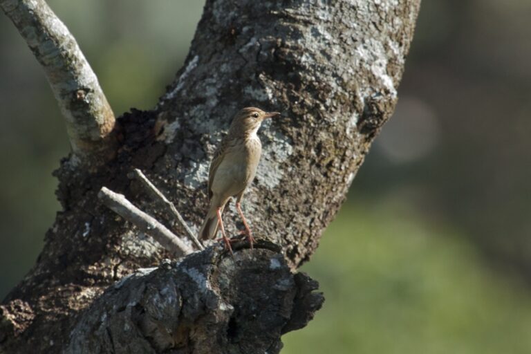
Anthus nyassae
♥
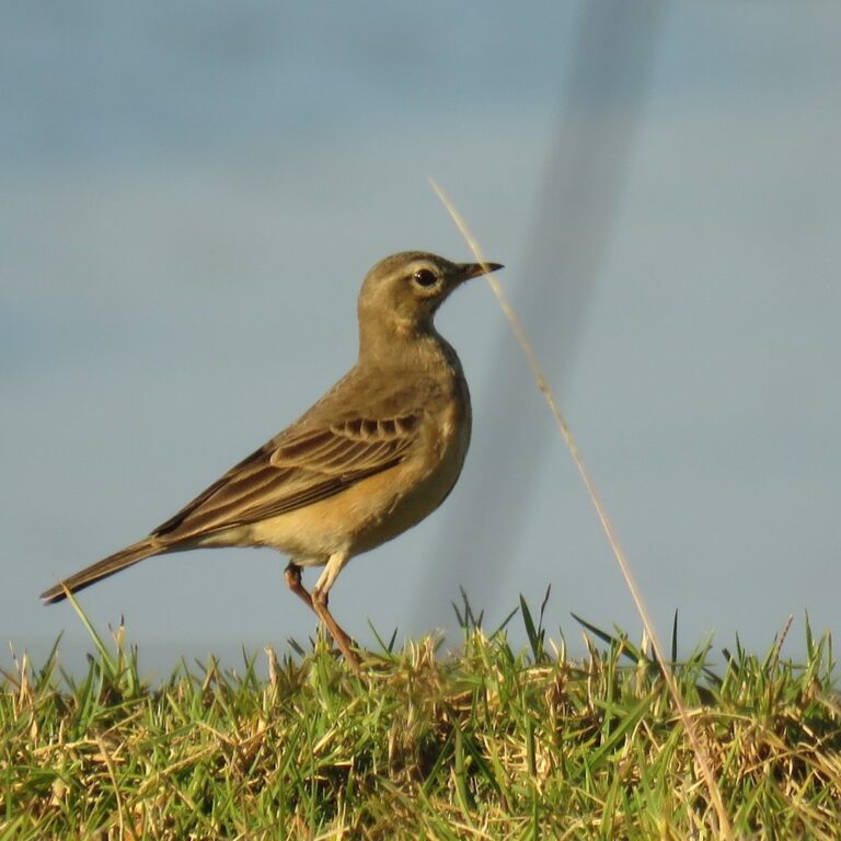
Anthus leucophrys
♥
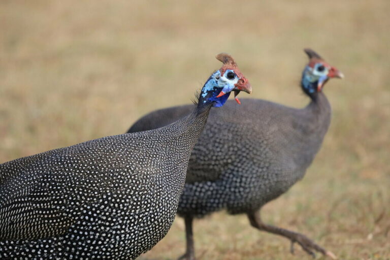
Numida meleagris
♥
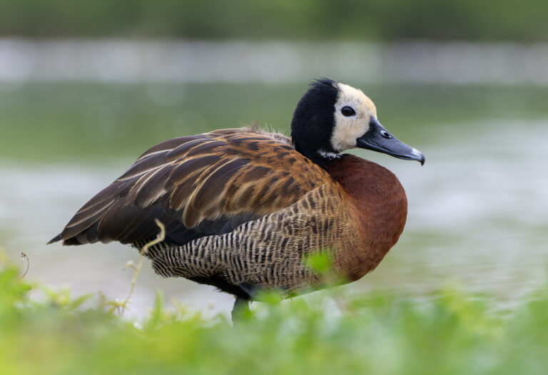
Dendrocygna viduata
♥
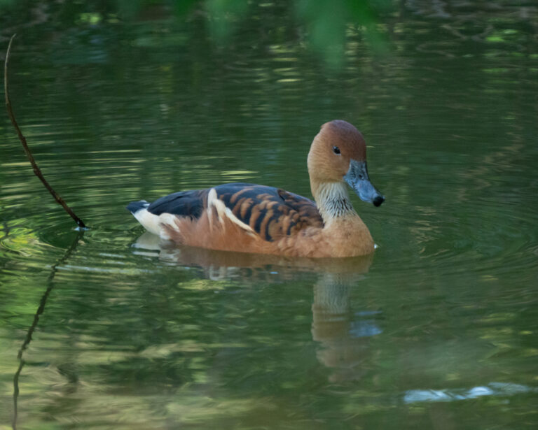
Dendrocygna bicolor
♥
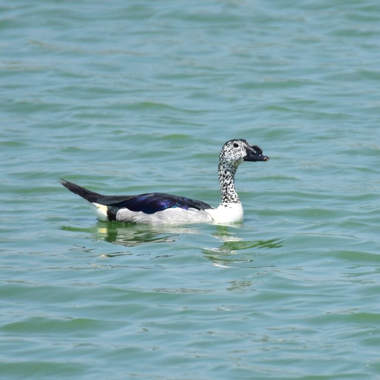
Sarkidiornis melanotos
♥
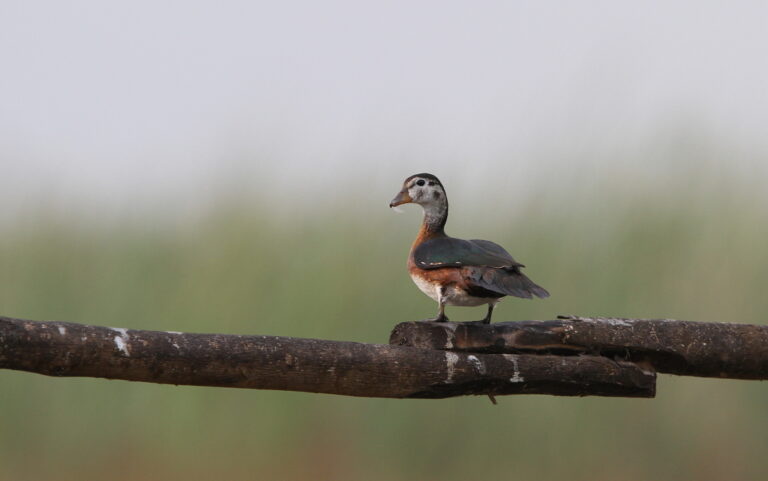
Nettapus auritus
♥
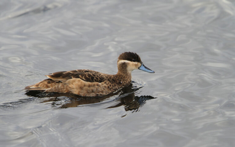
Spatula hottentota
♥
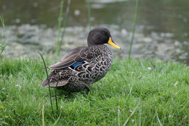
Anas undulata
♥
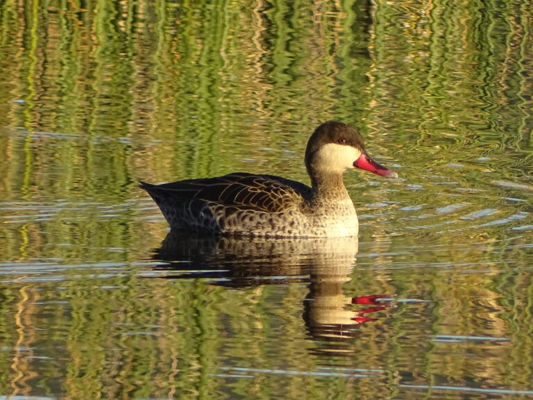
Anas erythrorhyncha
♥
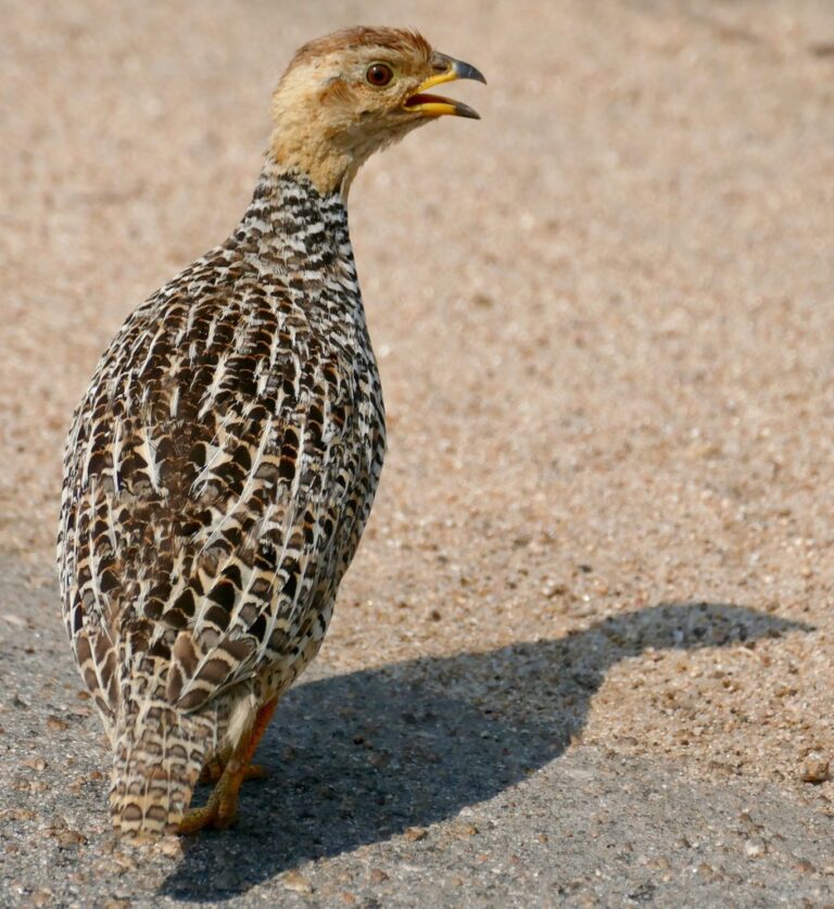
Campocolinus coqui
♥
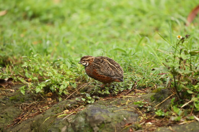
Coturnix delegorguei
♥
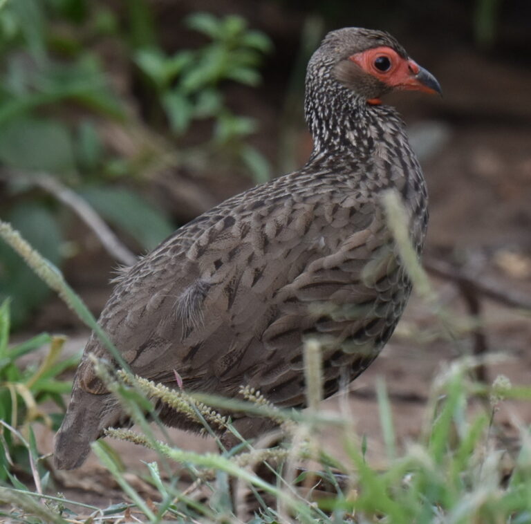
Pternistis swainsonii
♥
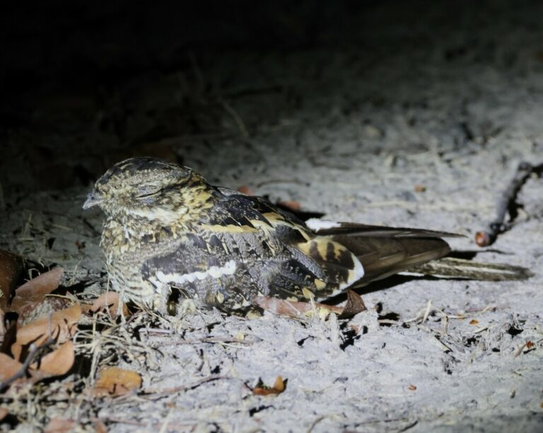
Caprimulgus fossii
♥
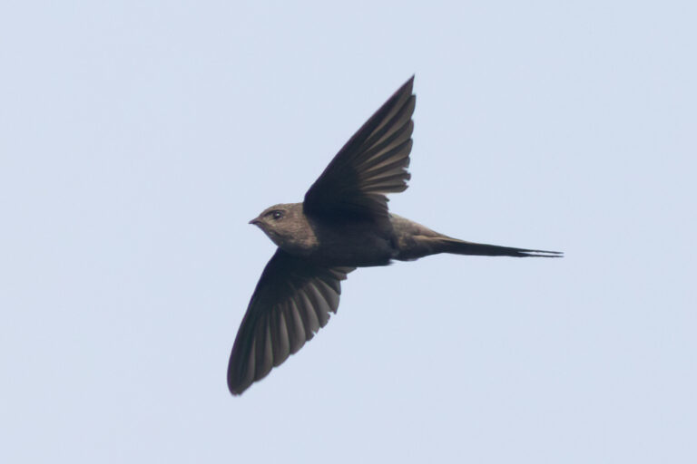
Cypsiurus parvus
♥
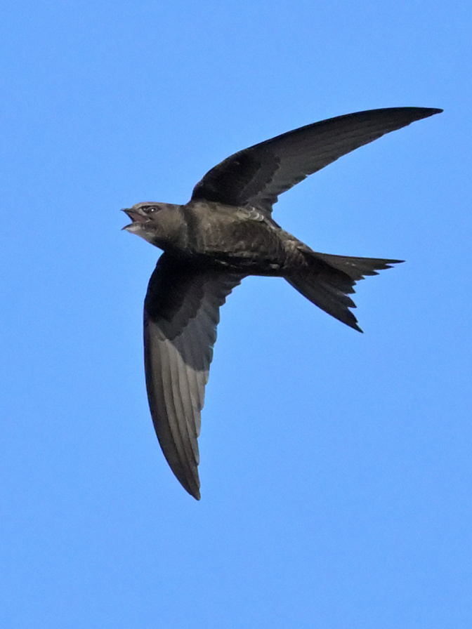
Apus apus
♥
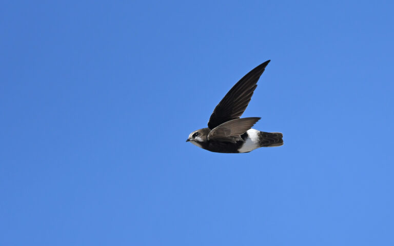
Apus affinis
♥
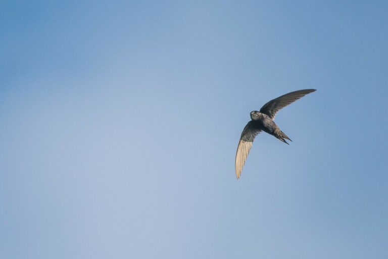
Apus caffer
♥
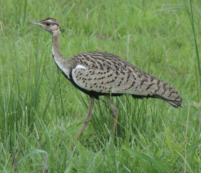
Lissotis melanogaster
♥
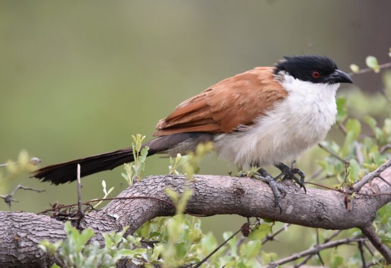
Centropus senegalensis
♥
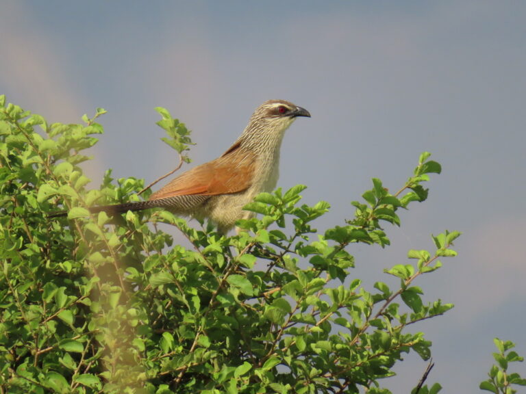
Centropus superciliosus
♥
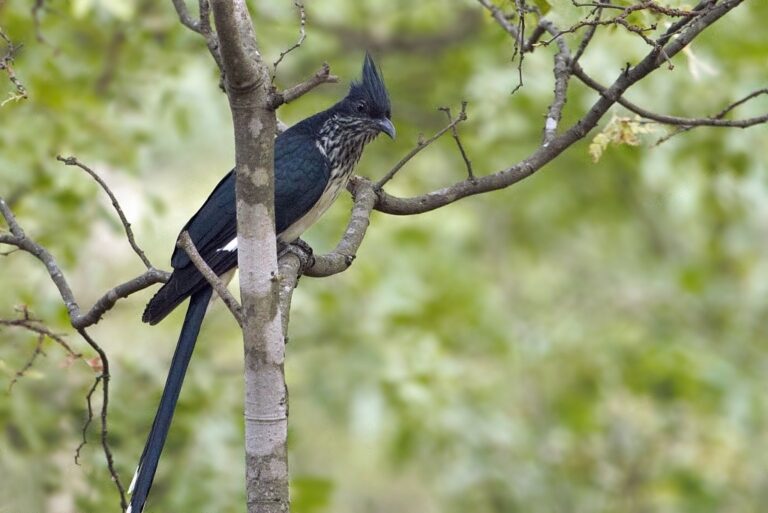
Clamator levaillantii
♥
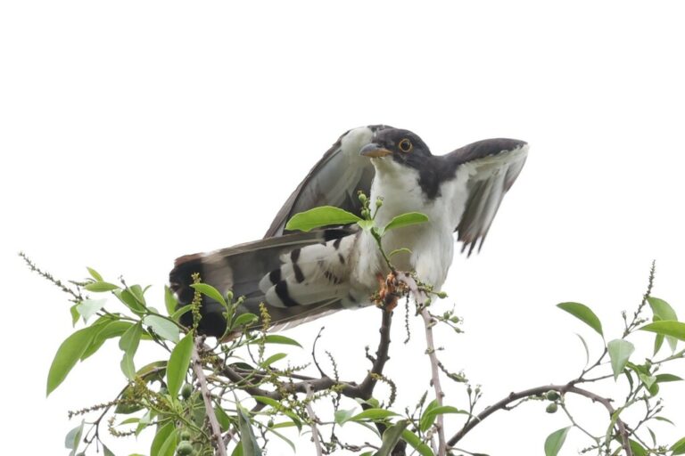
Pachycoccyx audeberti
♥
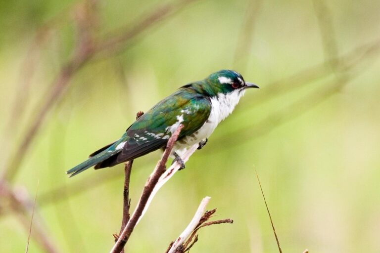
Chrysococcyx caprius
♥
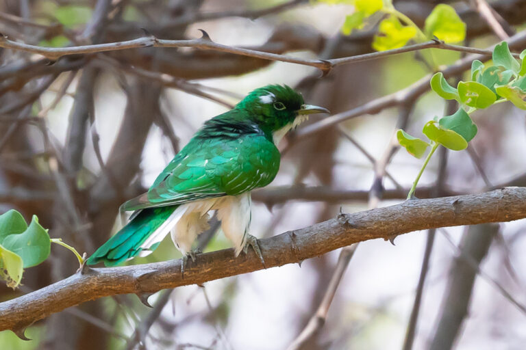
Chrysococcyx klaas
♥
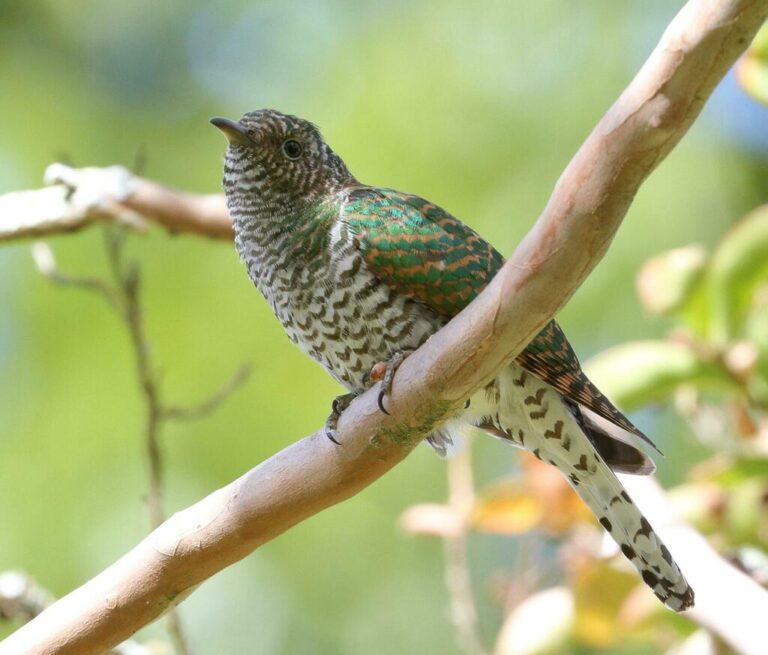
Chrysococcyx cupreus
♥
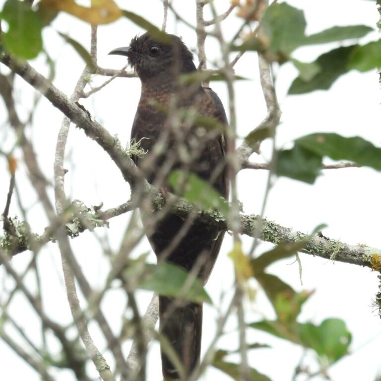
Cuculus clamosus
♥
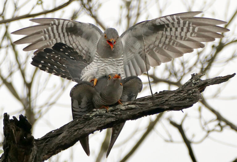
Cuculus gularis
♥
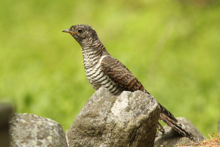
Cuculus canorus
♥
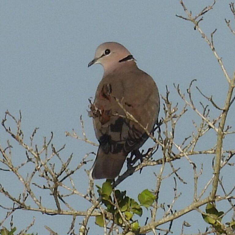
Streptopelia capicola
♥
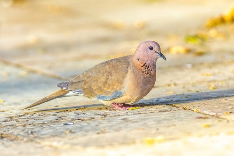
Spilopelia senegalensis
♥
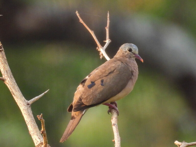
Turtur afer
♥
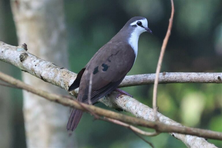
Turtur tympanistria
♥
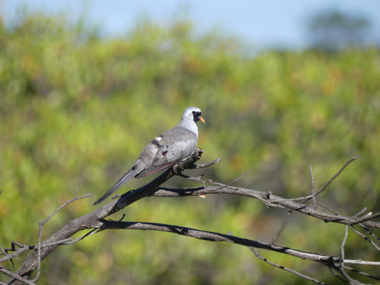
Oena capensis
♥
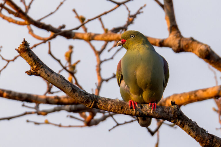
Treron calvus
♥
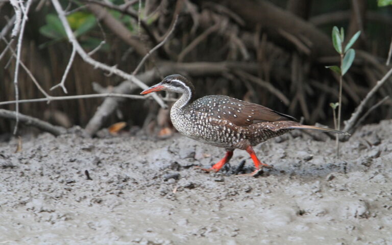
Podica senegalensis
♥
Sarothrura elegans
♥
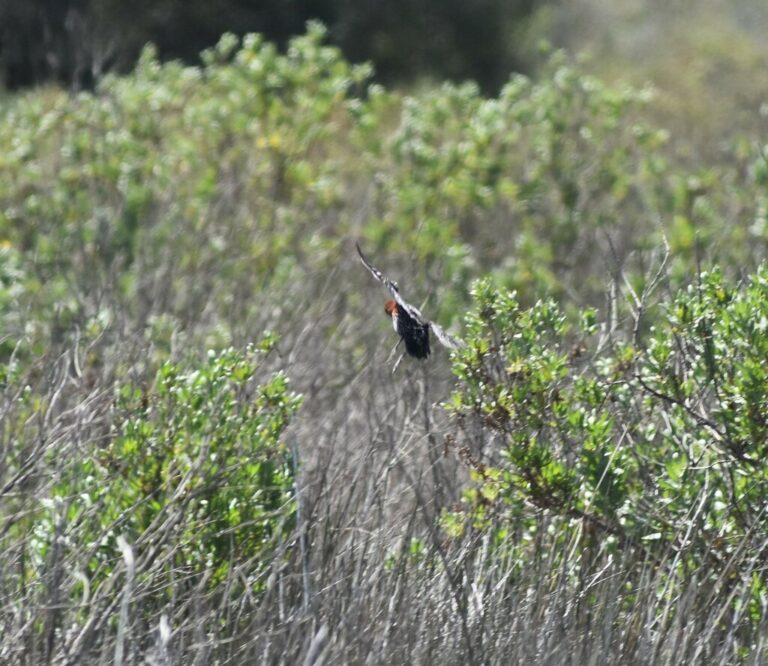
Sarothrura rufa
♥
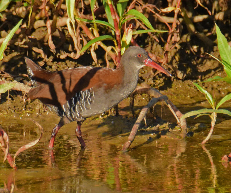
Rallus caerulescens
♥
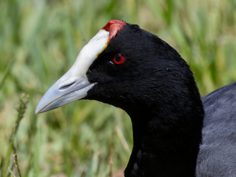
Fulica cristata
♥
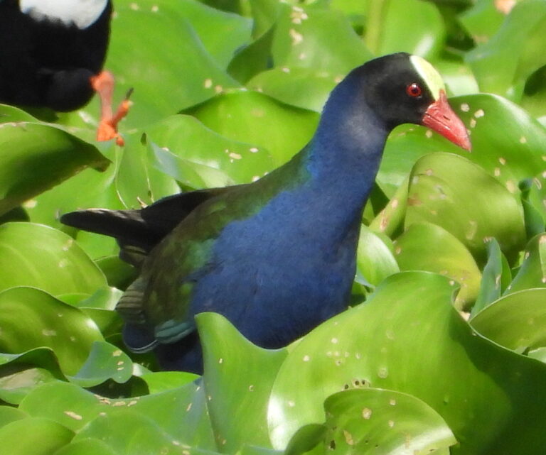
Porphyrio alleni
♥
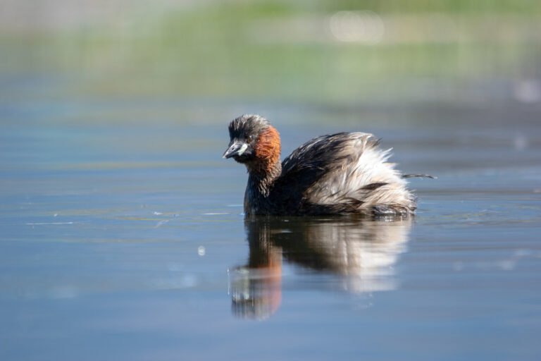
Tachybaptus ruficollis
♥
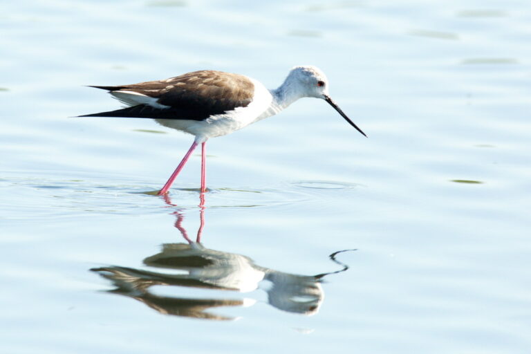
Himantopus himantopus
♥
Charadrius hiaticula
♥
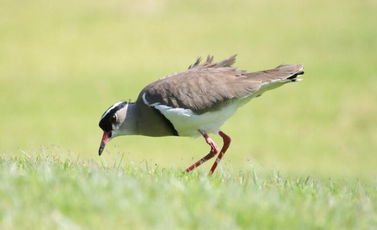
Vanellus coronatus
♥
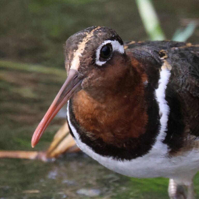
Rostratula benghalensis
♥
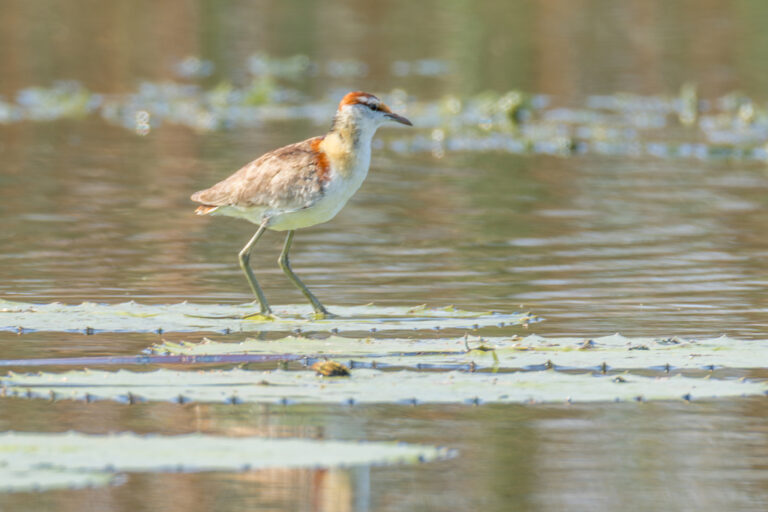
Microparra capensis
♥
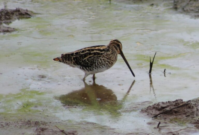
Gallinago nigripennis
♥
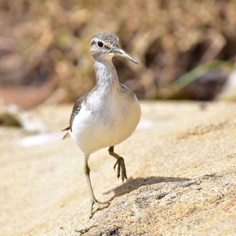
Actitis hypoleucos
♥
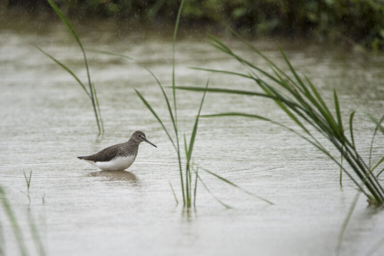
Tringa ochropus
♥
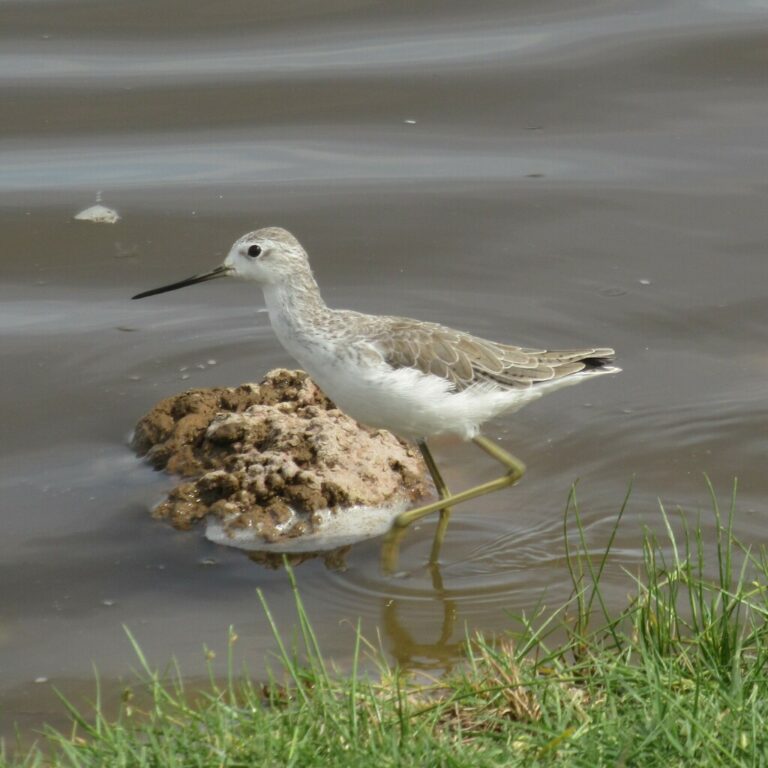
Tringa stagnatilis
♥
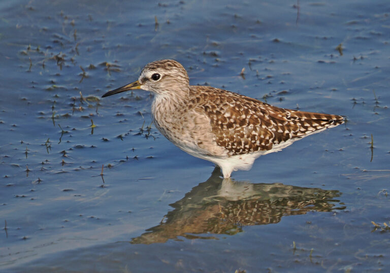
Tringa glareola
♥
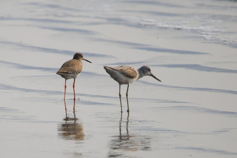
Tringa nebularia
♥
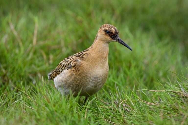
Calidris pugnax
♥
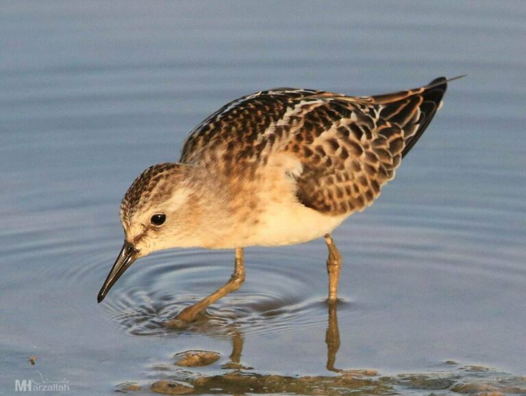
Calidris minuta
♥
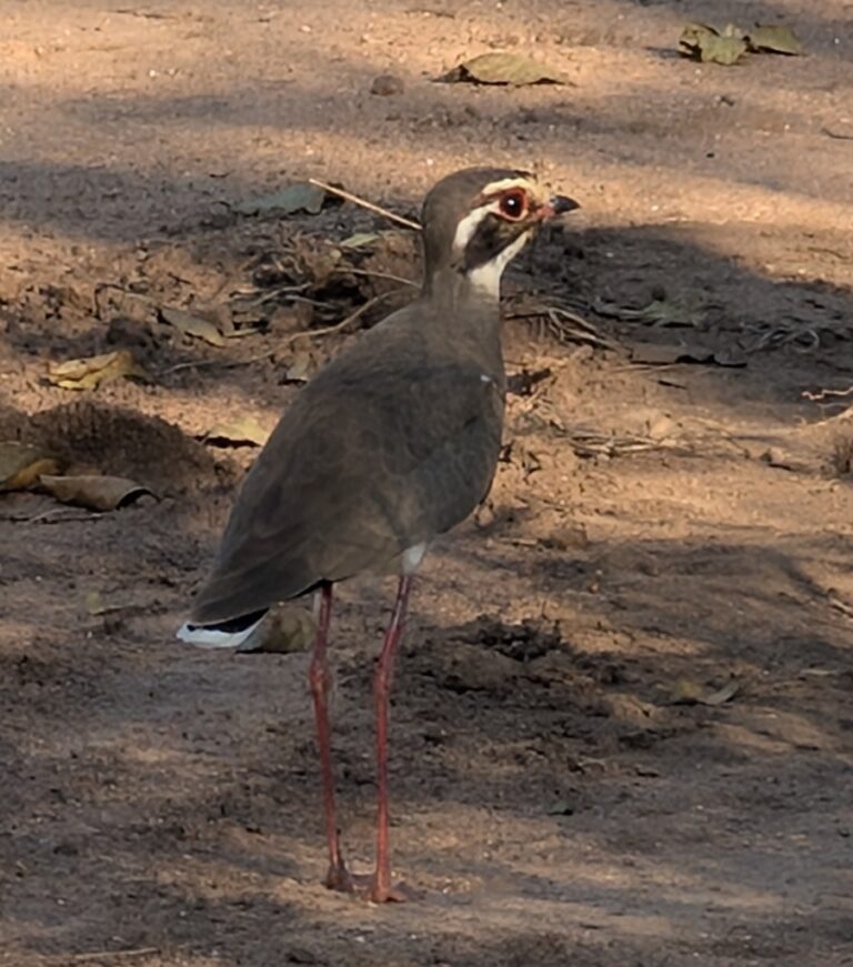
Rhinoptilus chalcopterus
♥
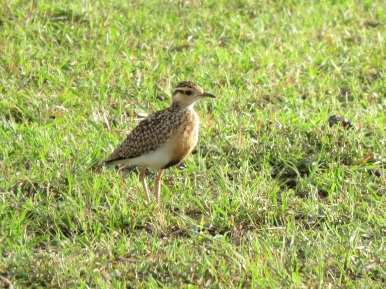
Cursorius temminckii
♥
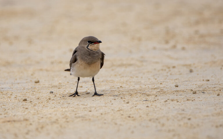
Glareola pratincola
♥
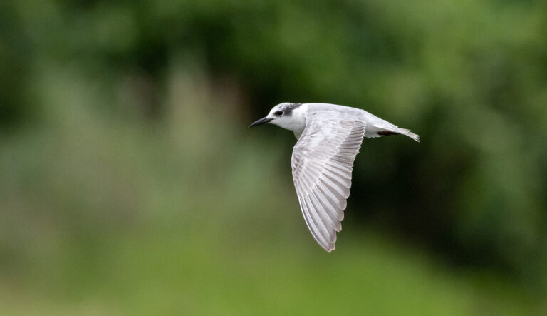
Chlidonias hybrida
♥
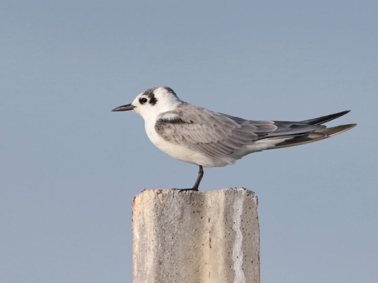
Chlidonias leucopterus
♥
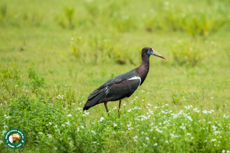
Ciconia abdimii
♥
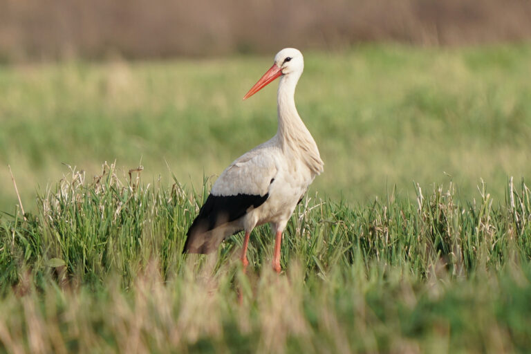
Ciconia ciconia
♥
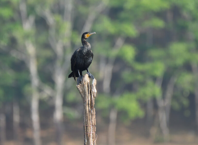
Phalacrocorax carbo
♥
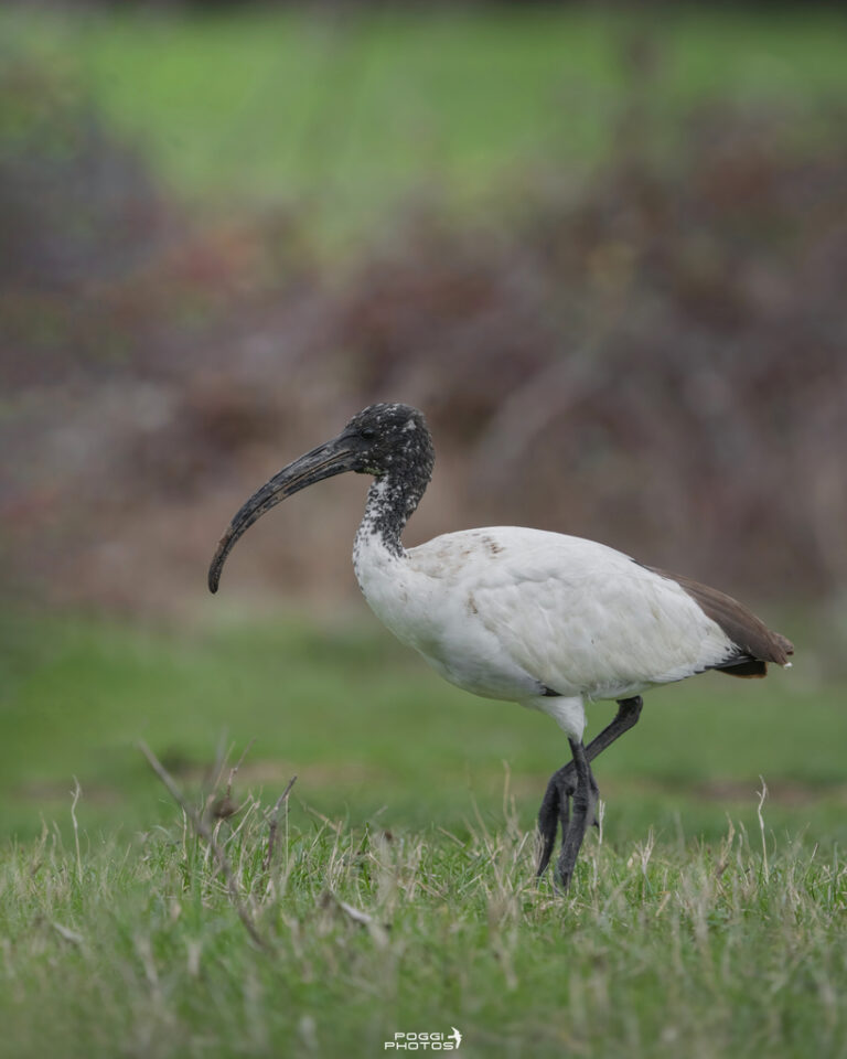
Threskiornis aethiopicus
♥
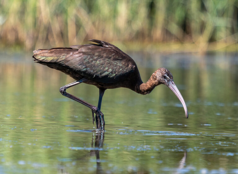
Plegadis falcinellus
♥
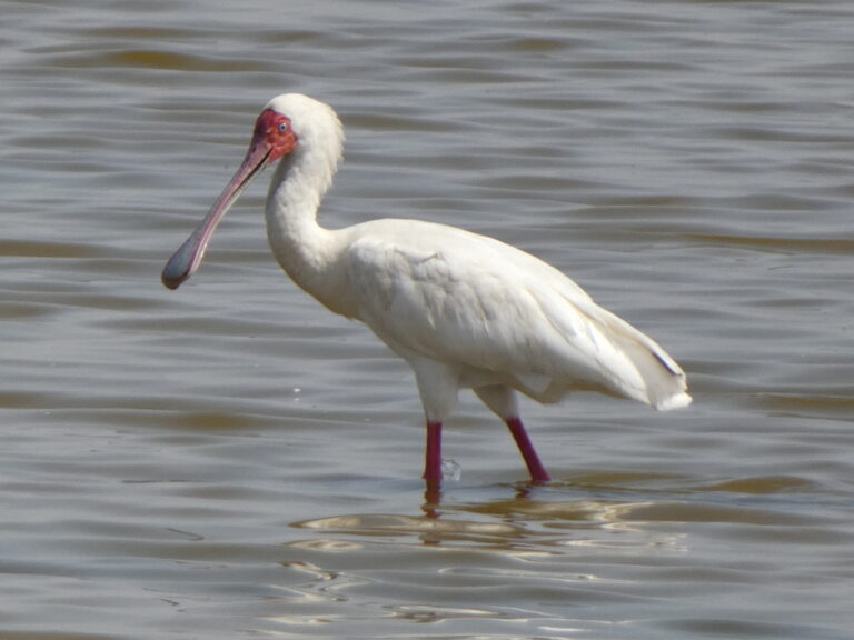
Platalea alba
♥
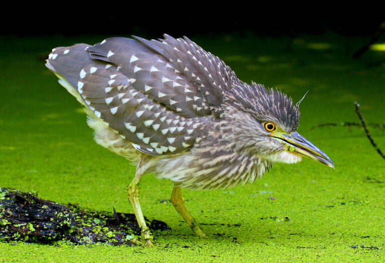
Nycticorax nycticorax
♥
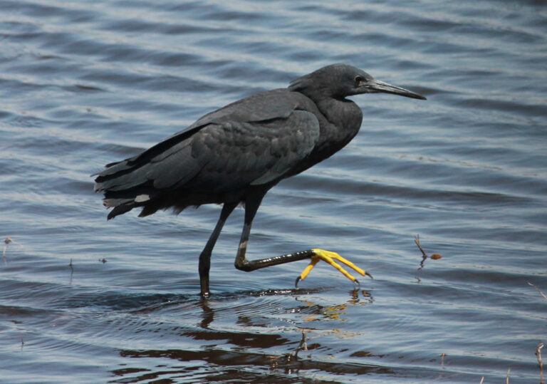
Egretta ardesiaca
♥
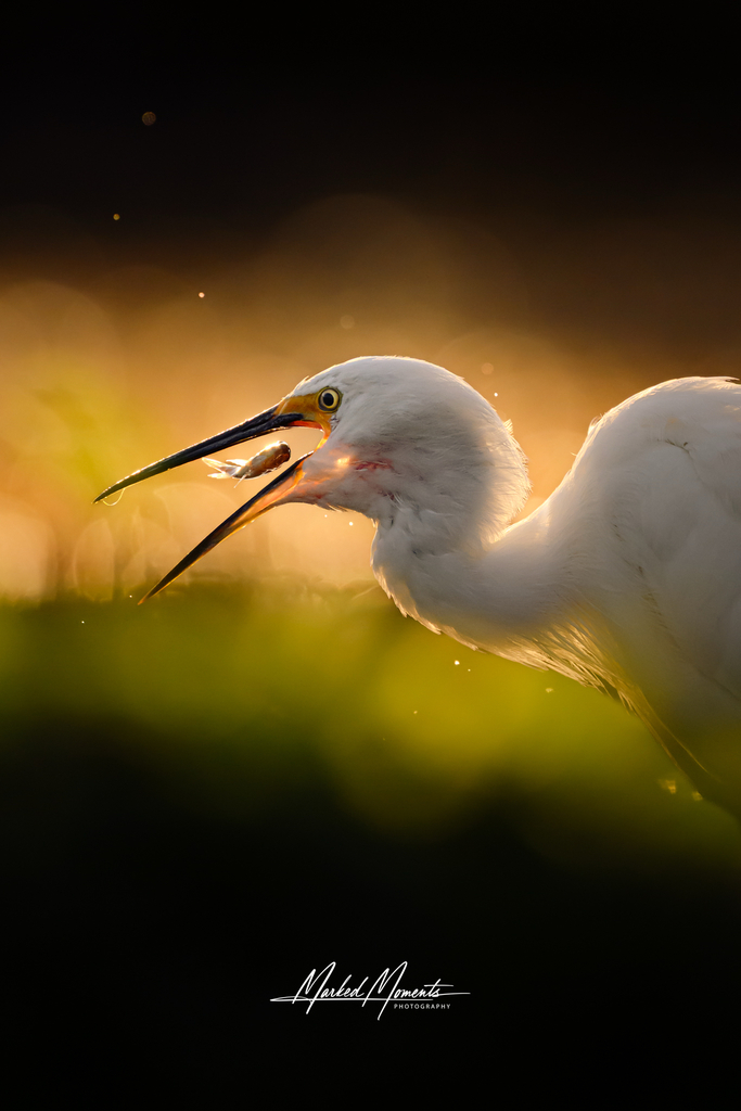
Egretta garzetta
♥
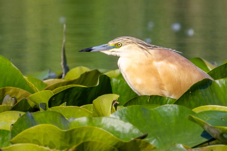
Ardeola ralloides
♥
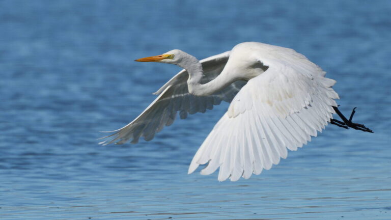
Ardea alba
♥
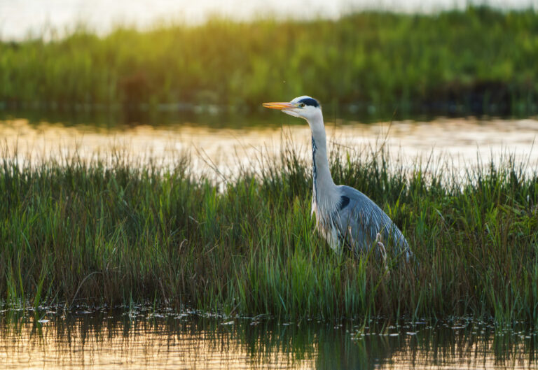
Ardea cinerea
♥
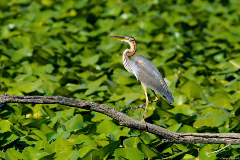
Ardea purpurea
♥
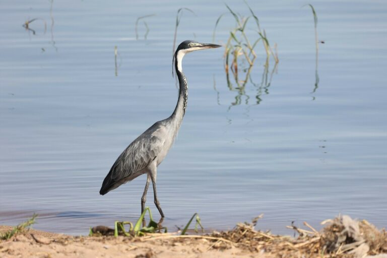
Ardea melanocephala
♥
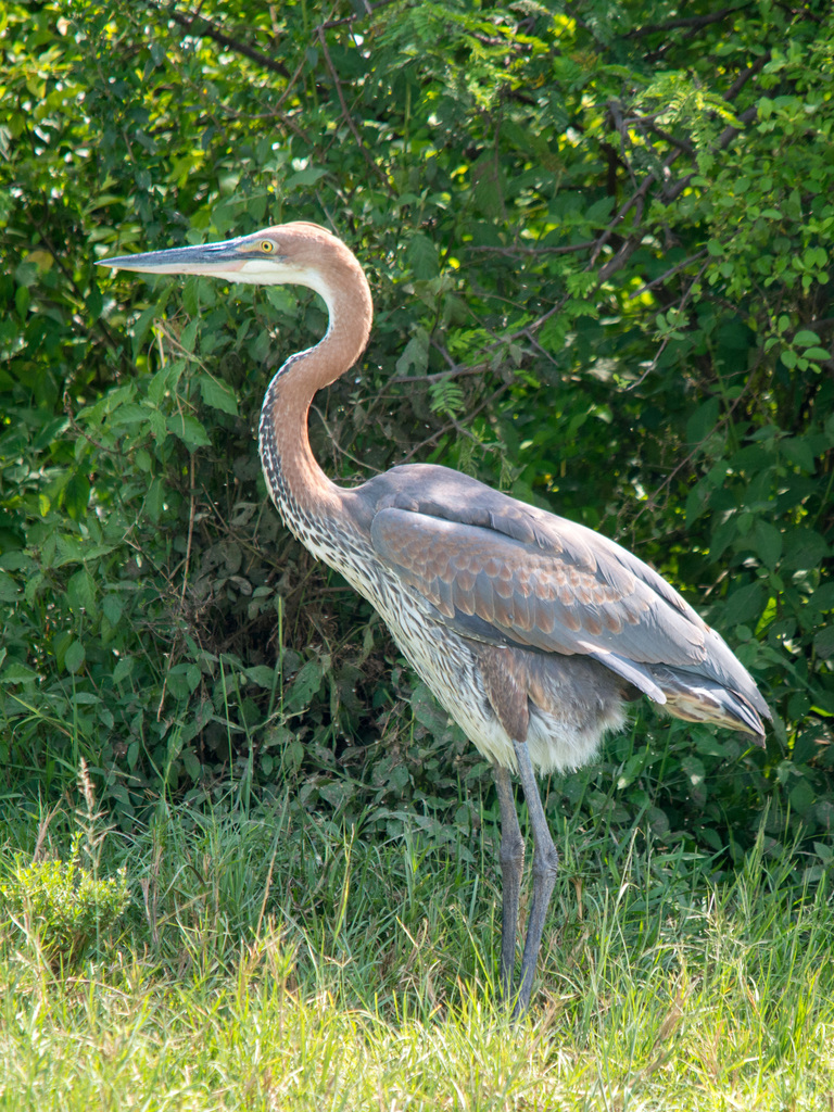
Ardea goliath
♥
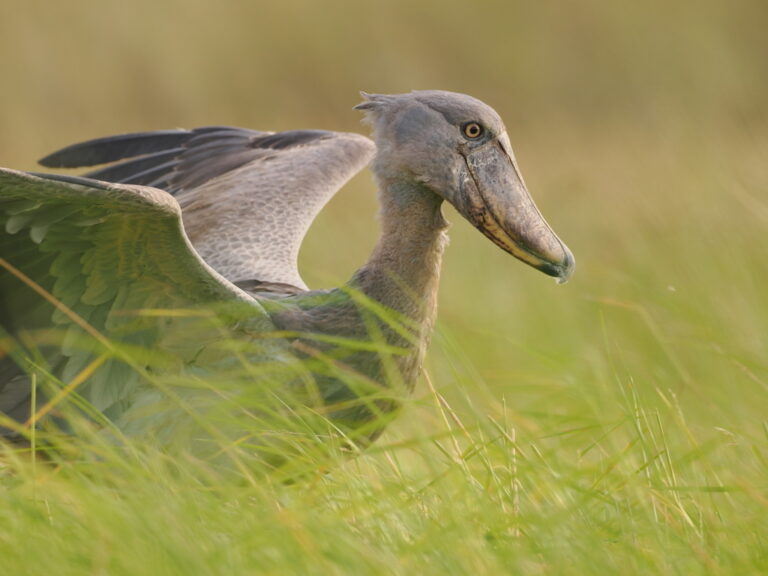
Balaeniceps rex
♥
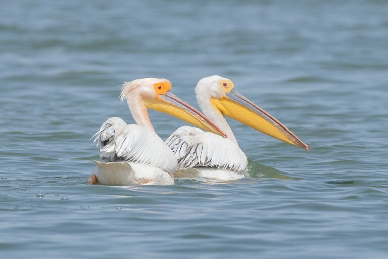
Pelecanus onocrotalus
♥
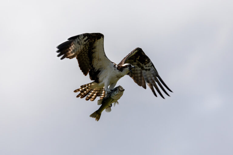
Pandion haliaetus
♥
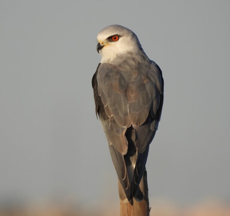
Elanus caeruleus
♥
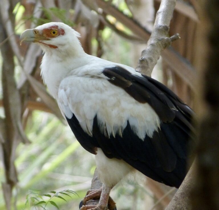
Gypohierax angolensis
♥
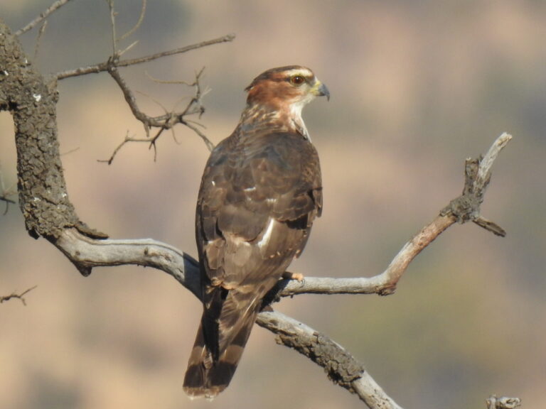
Aviceda cuculoides
♥
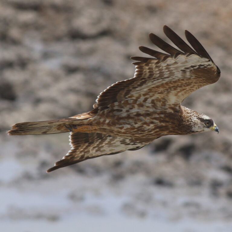
Pernis apivorus
♥
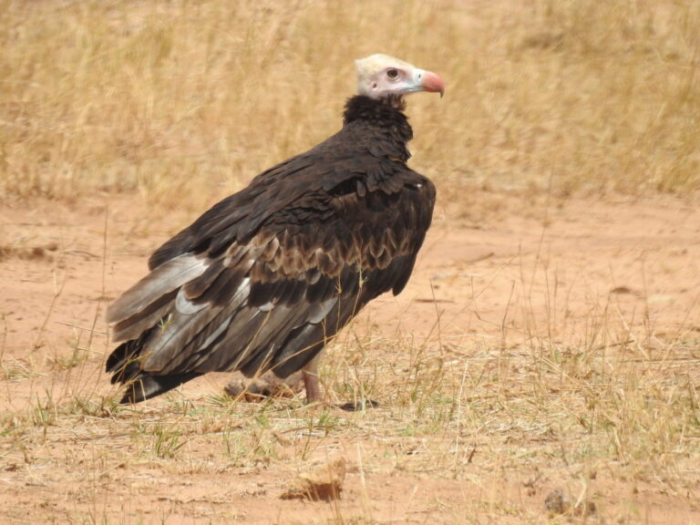
Trigonoceps occipitalis
♥
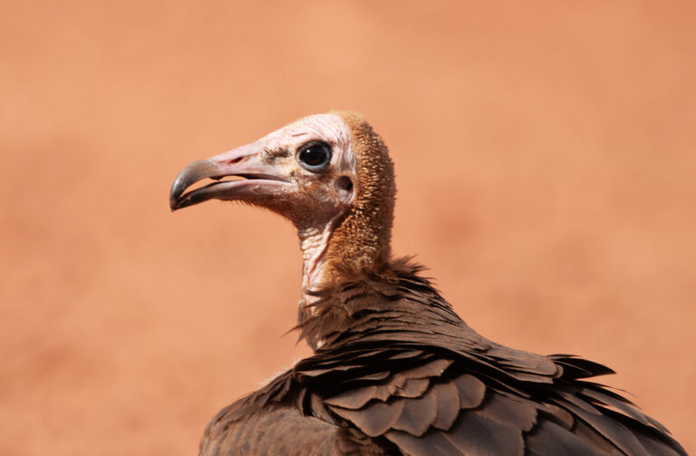
Necrosyrtes monachus
♥
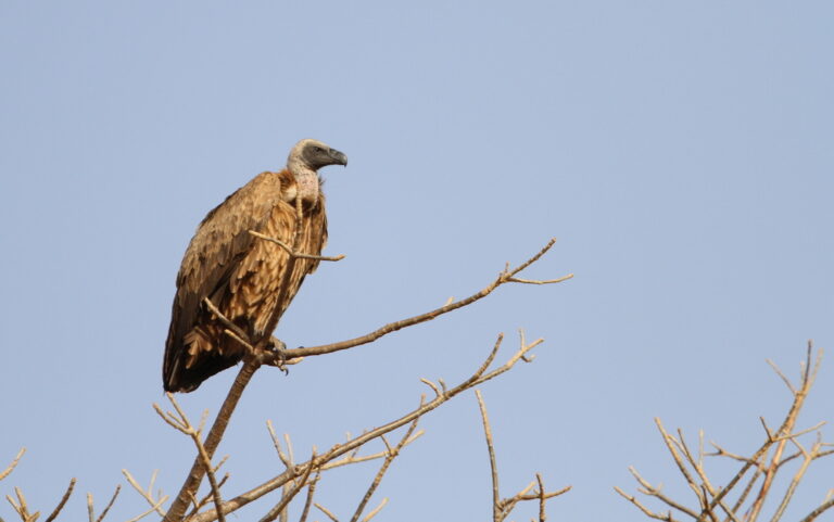
Gyps africanus
♥
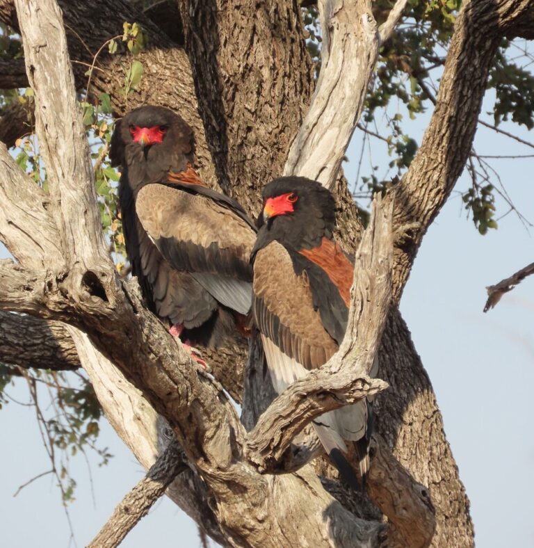
Terathopius ecaudatus
♥
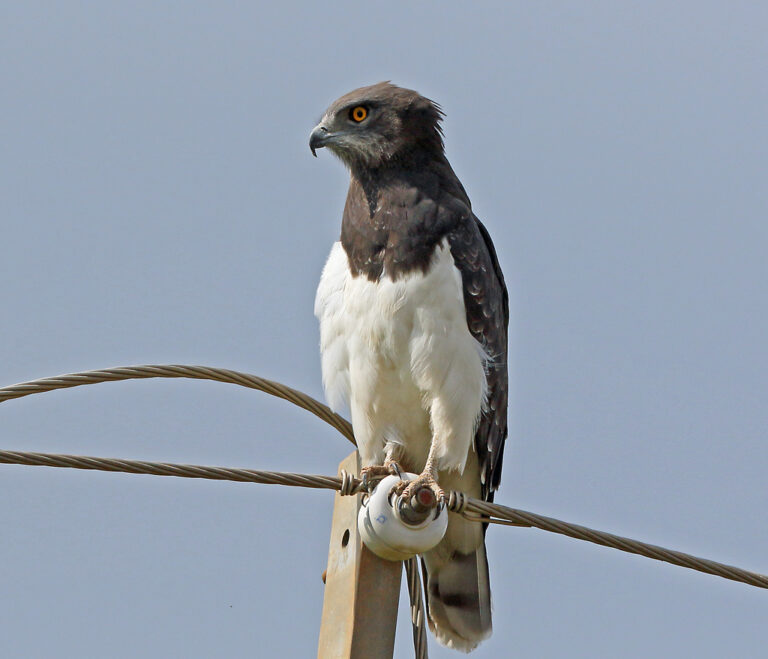
Circaetus pectoralis
♥
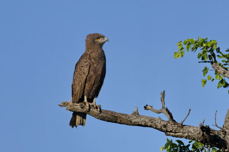
Circaetus cinereus
♥
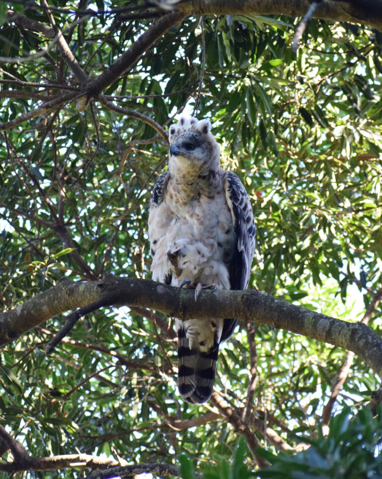
Stephanoaetus coronatus
♥
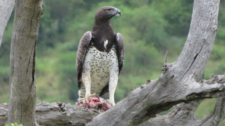
Polemaetus bellicosus
♥
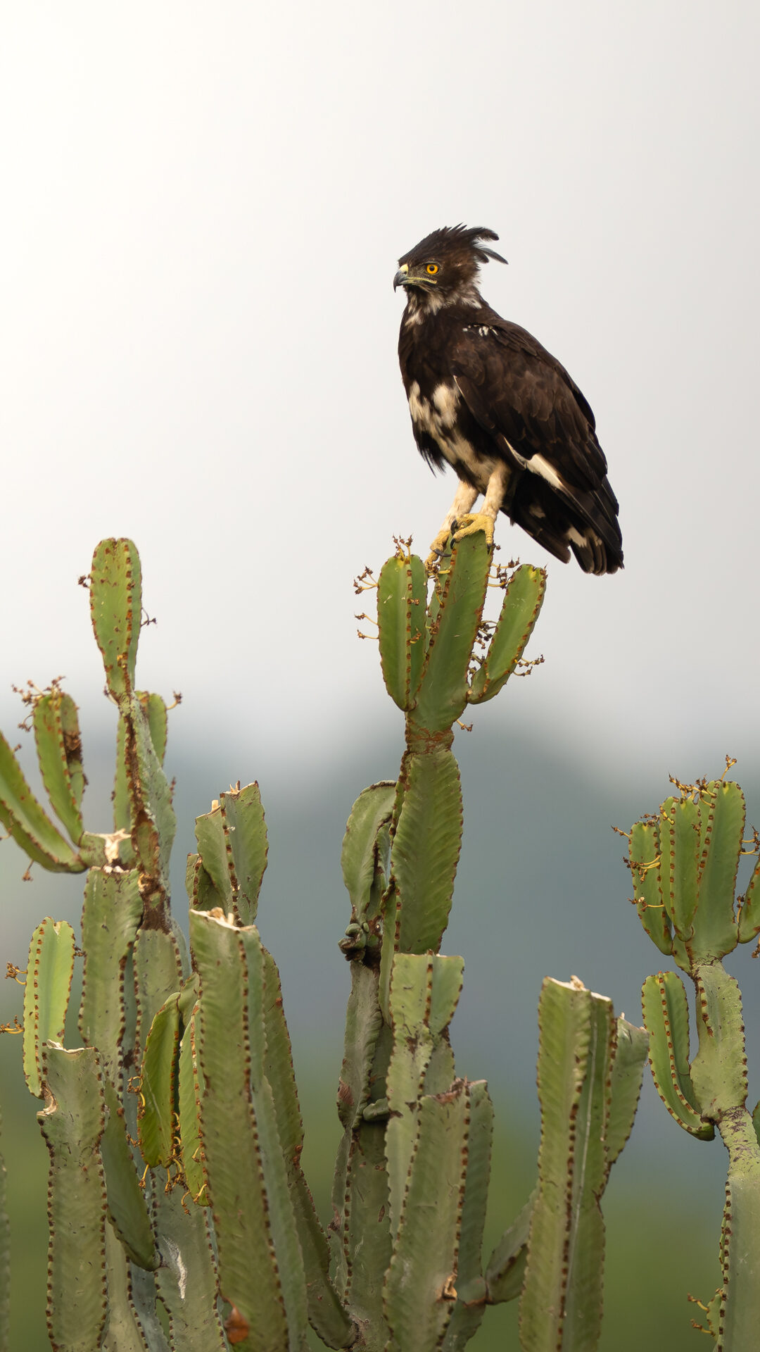
Lophaetus occipitalis
♥
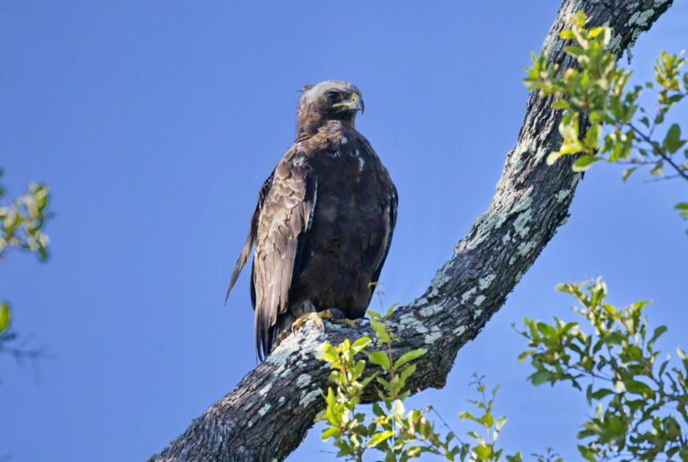
Hieraaetus wahlbergi
♥
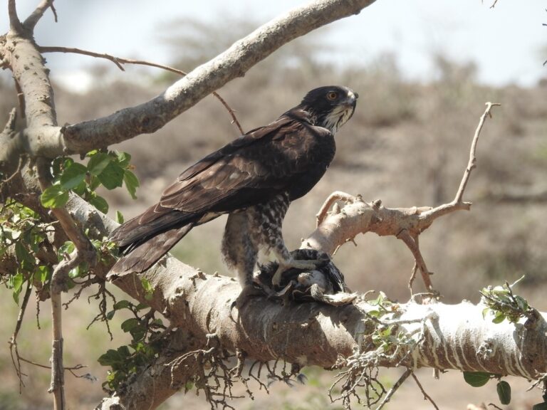
Hieraaetus ayresii
♥
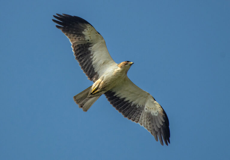
Hieraaetus pennatus
♥
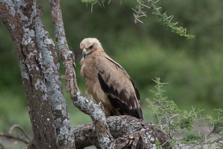
Aquila rapax
♥
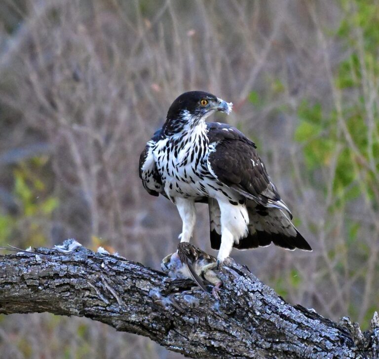
Aquila spilogaster
♥
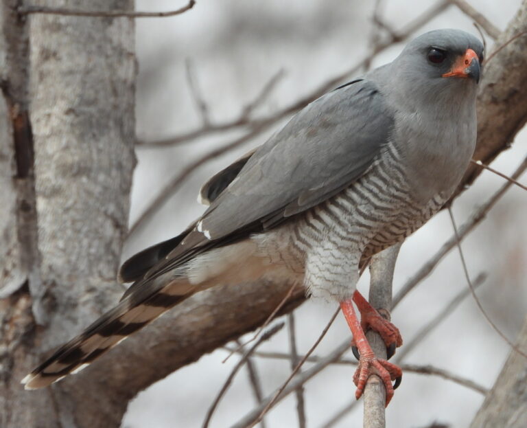
Micronisus gabar
♥
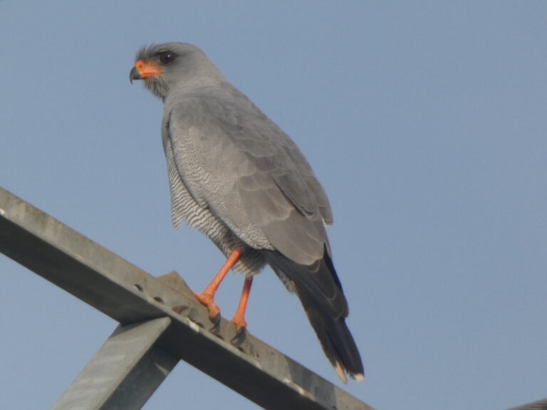
Melierax metabates
♥
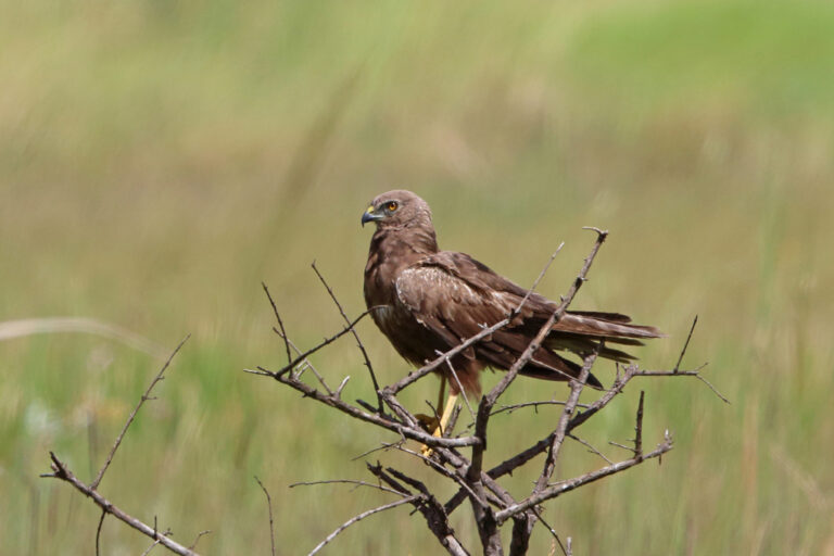
Circus ranivorus
♥
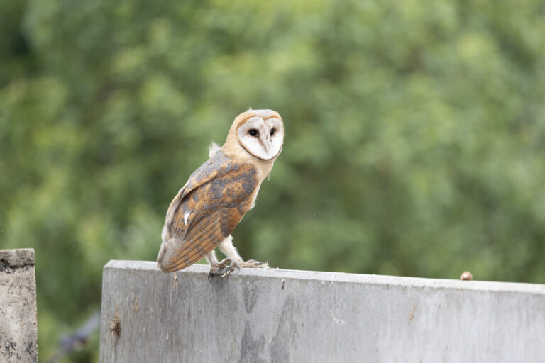
Tyto alba
♥
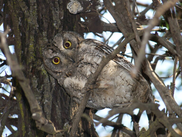
Otus senegalensis
♥
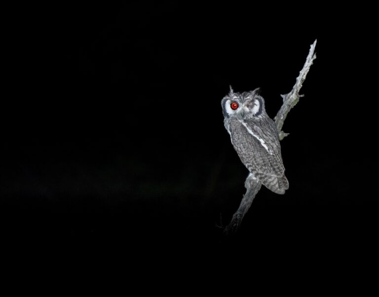
Ptilopsis granti
♥
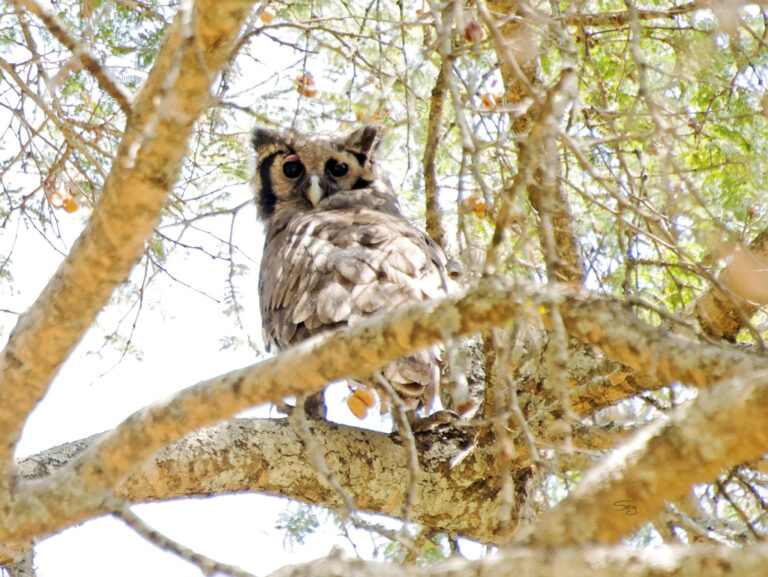
Ketupa lactea
♥
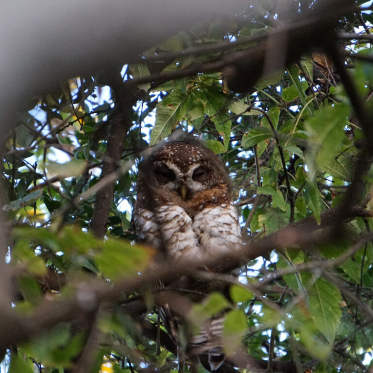
Strix woodfordii
♥
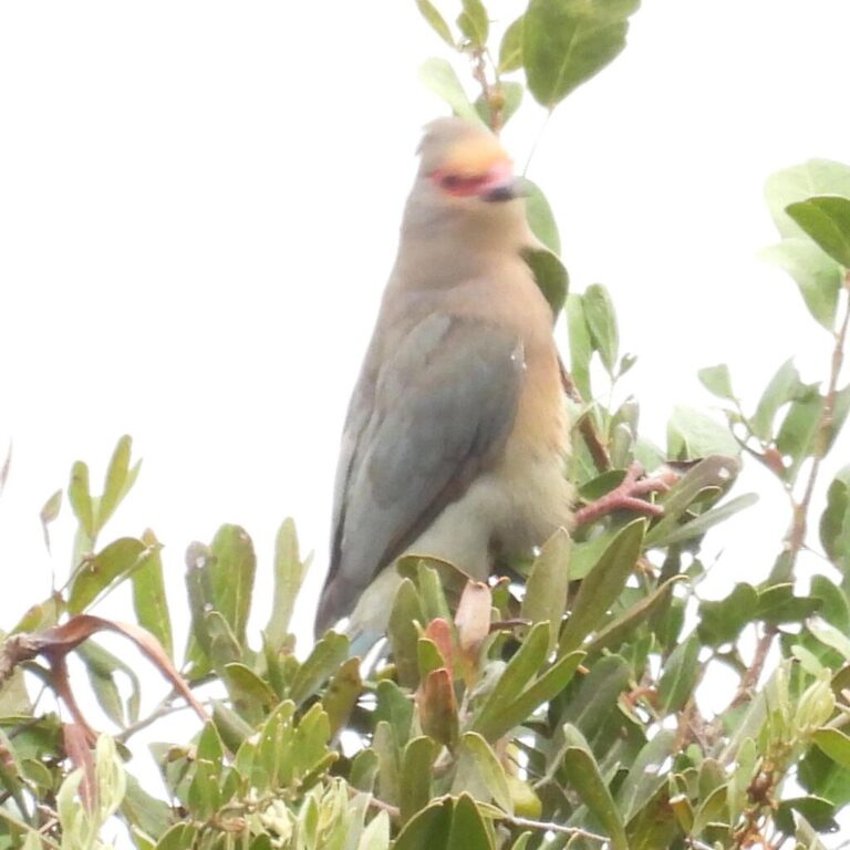
Urocolius indicus
♥
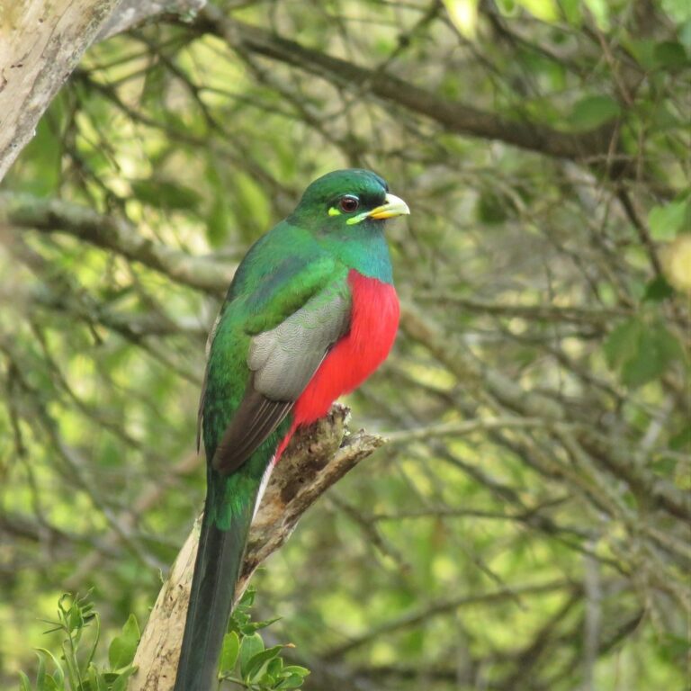
Apaloderma narina
♥
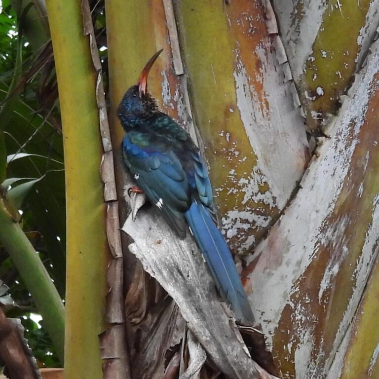
Phoeniculus purpureus
♥
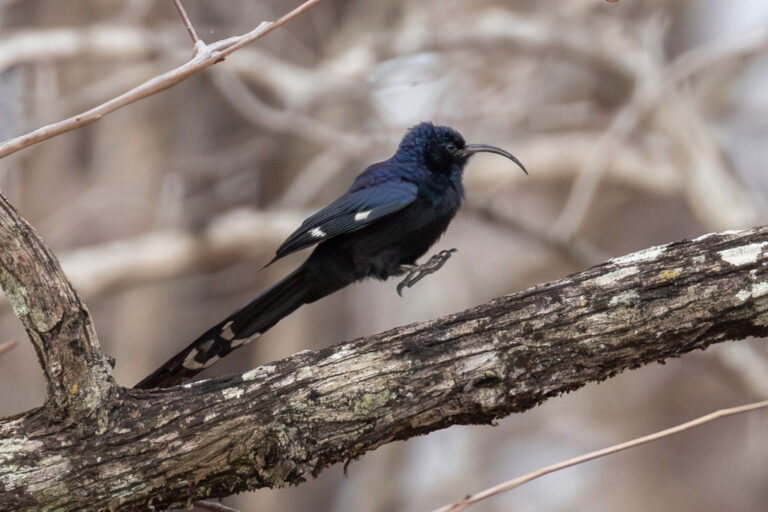
Rhinopomastus cyanomelas
♥
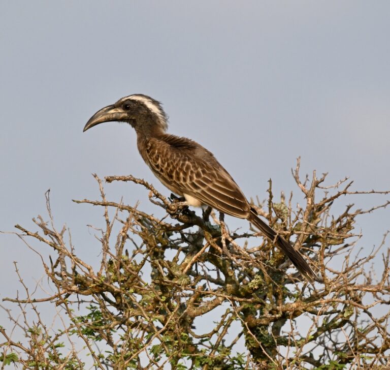
Lophoceros nasutus
♥
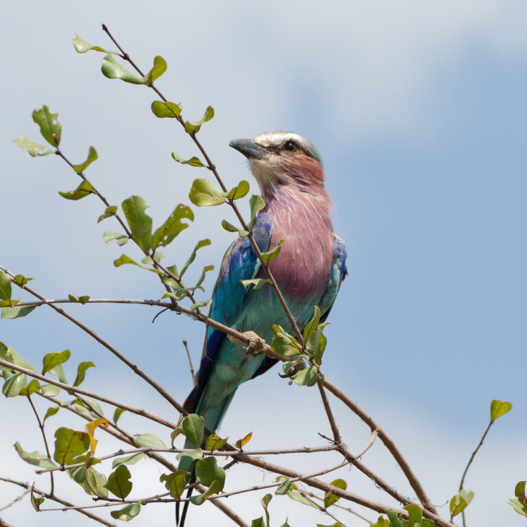
Coracias caudatus
♥
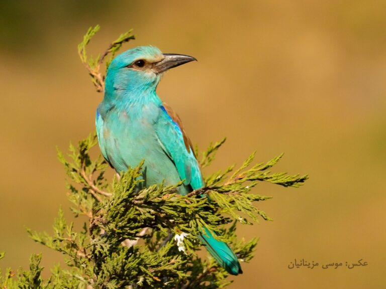
Coracias garrulus
♥
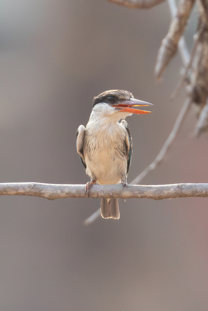
Halcyon chelicuti
♥
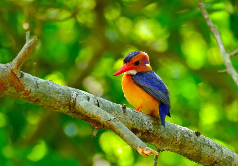
Ispidina picta
♥
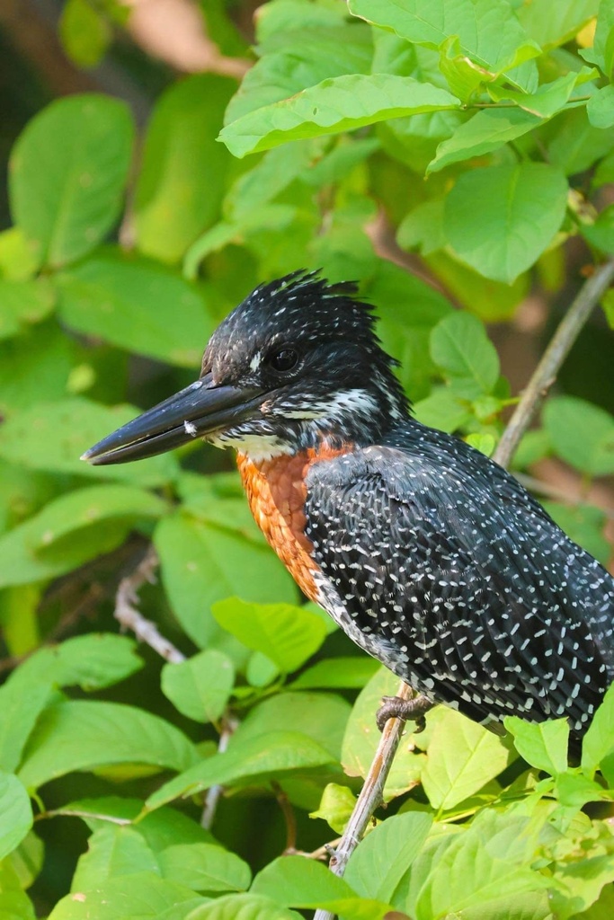
Megaceryle maxima
♥
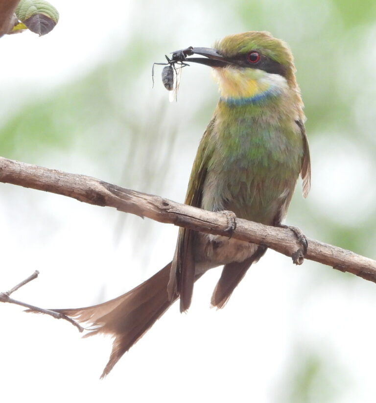
Merops hirundineus
♥
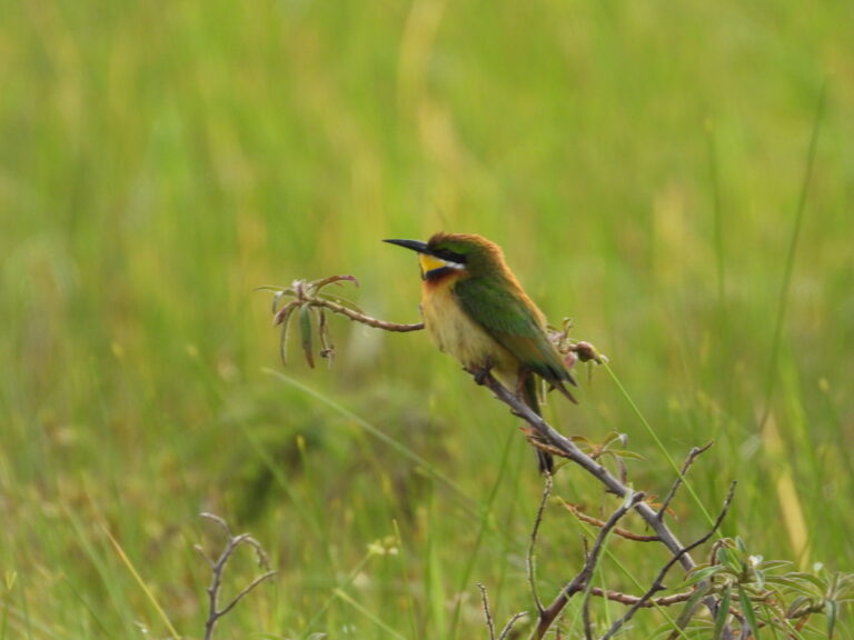
Merops variegatus
♥
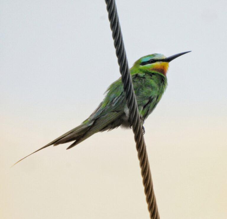
Merops persicus
♥
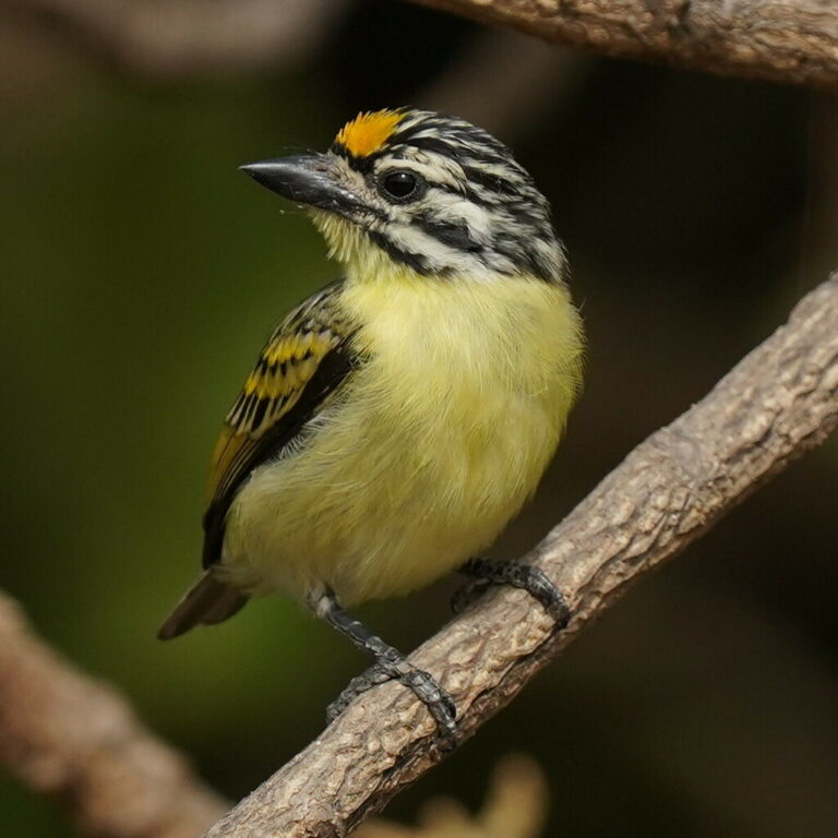
Pogoniulus chrysoconus
♥
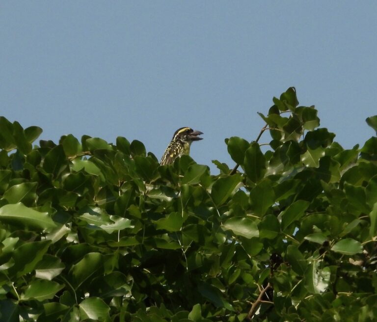
Tricholaema frontata
♥
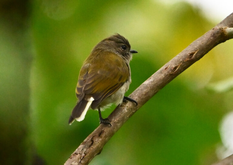
Prodotiscus zambesiae
♥
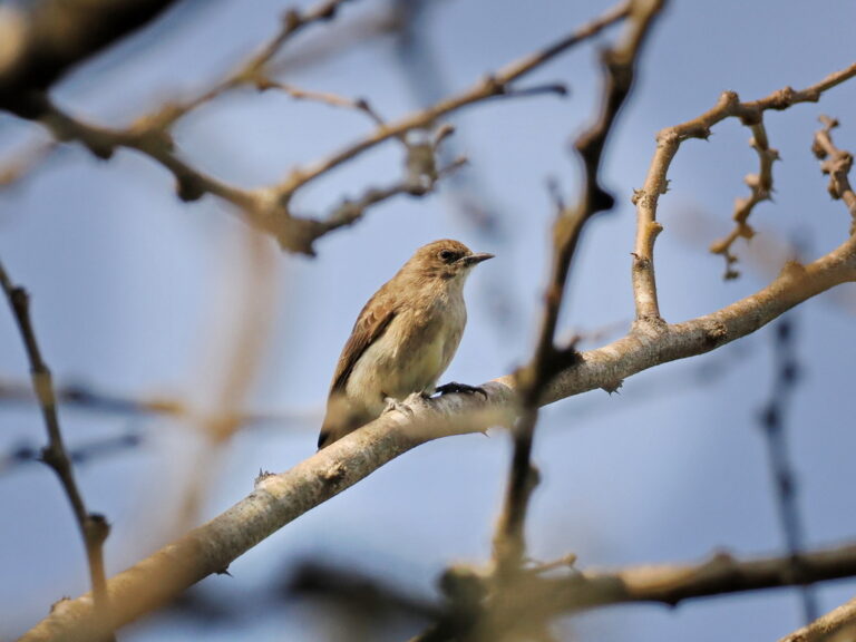
Prodotiscus regulus
♥
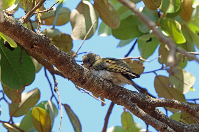
Indicator meliphilus
♥
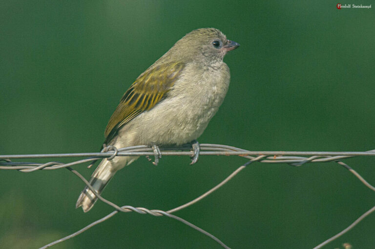
Indicator minor
♥
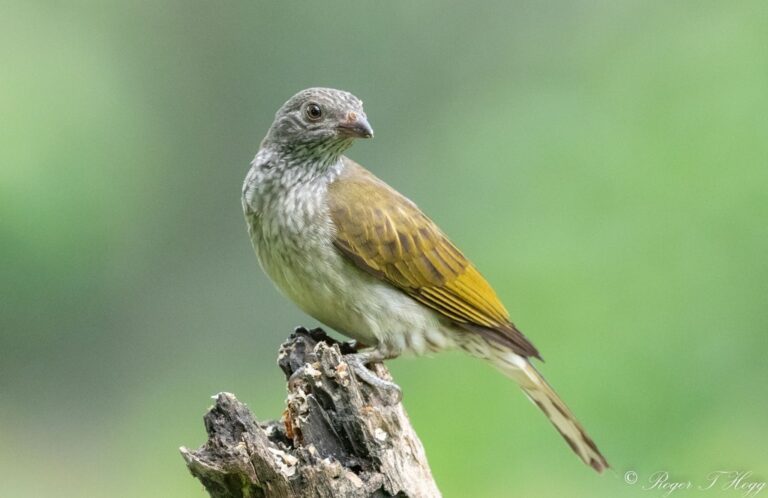
Indicator variegatus
♥
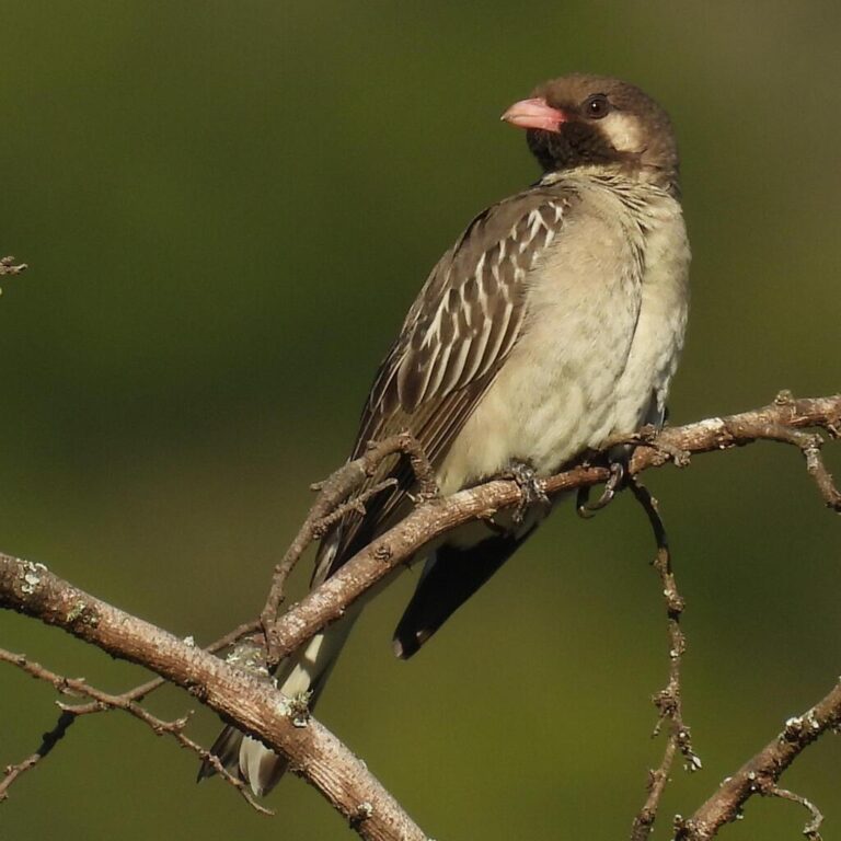
Indicator indicator
♥
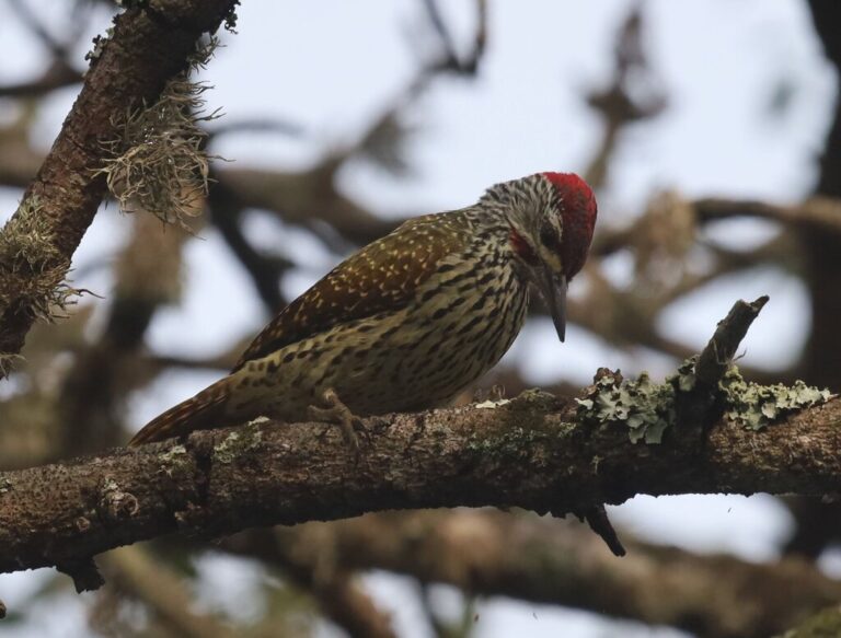
Campethera abingoni
♥
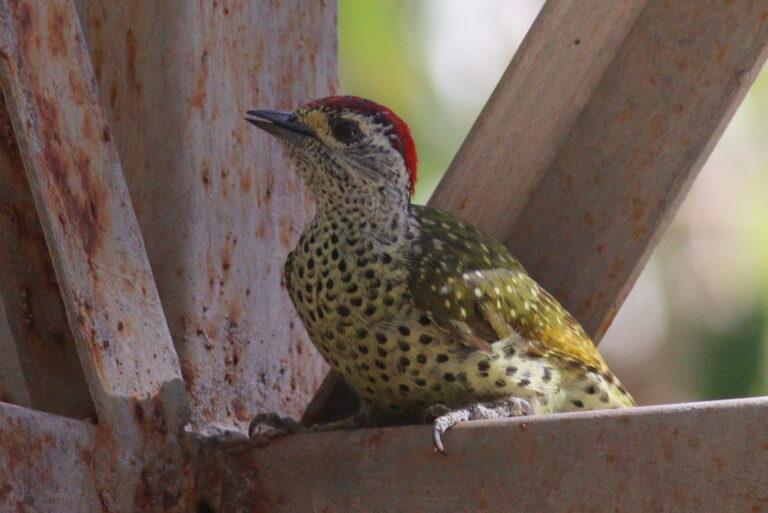
Campethera maculosa
♥
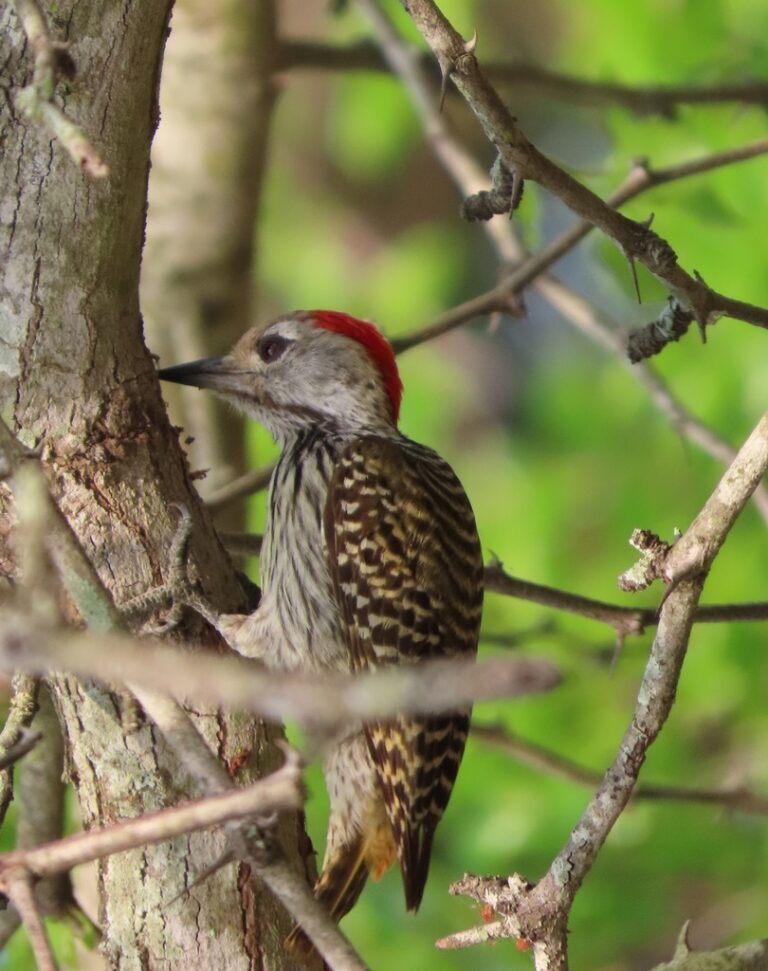
Dendropicos fuscescens
♥
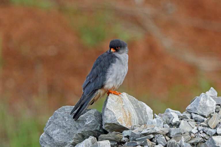
Falco amurensis
♥
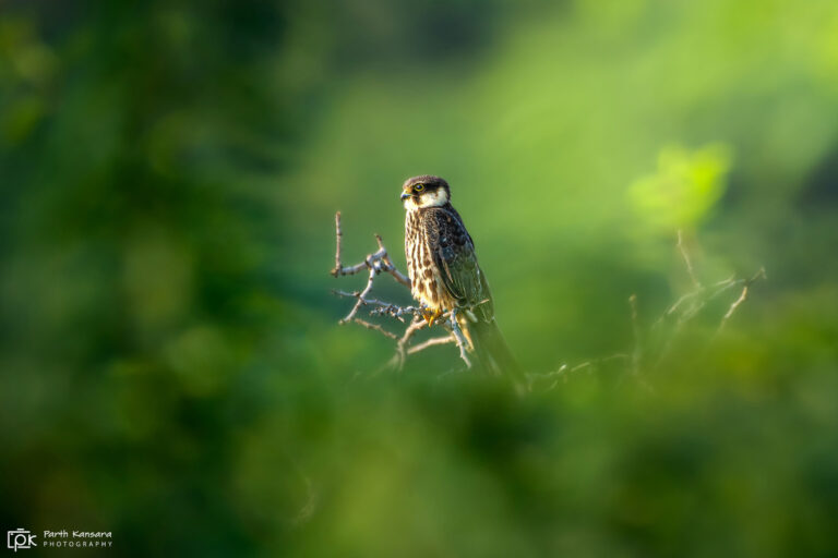
Falco subbuteo
♥
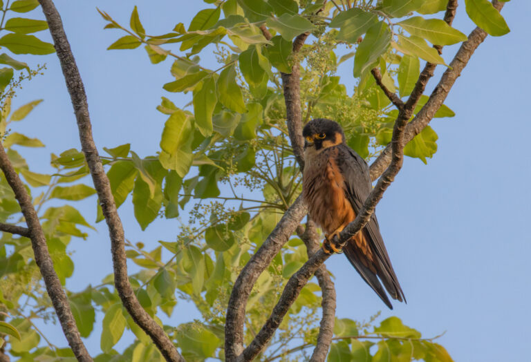
Falco cuvierii
♥
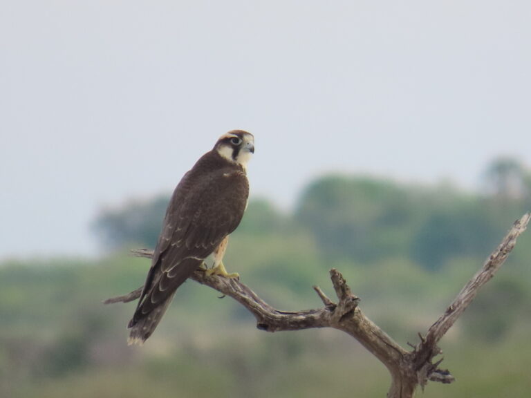
Falco biarmicus
♥
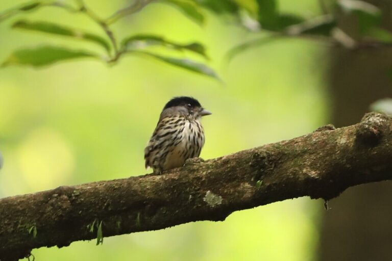
Smithornis capensis
♥
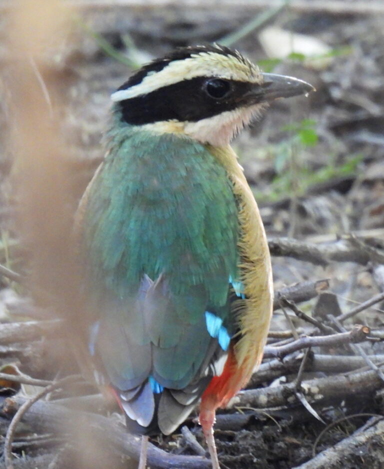
Pitta angolensis
♥
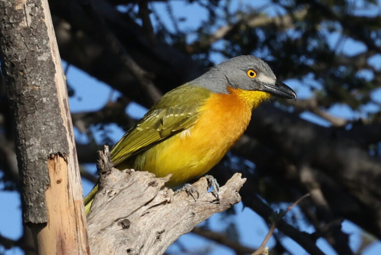
Malaconotus blanchoti
♥
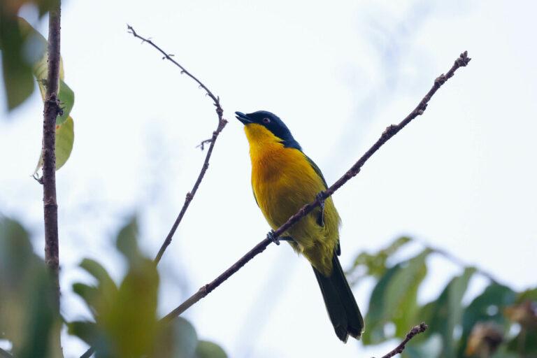
Chlorophoneus nigrifrons
♥
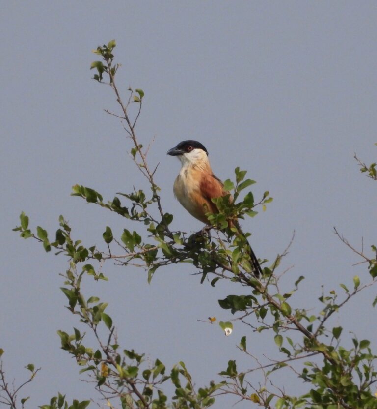
Bocagia minuta
♥
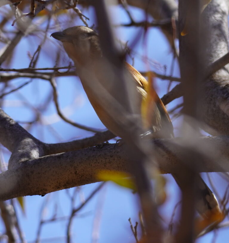
Tchagra australis
♥
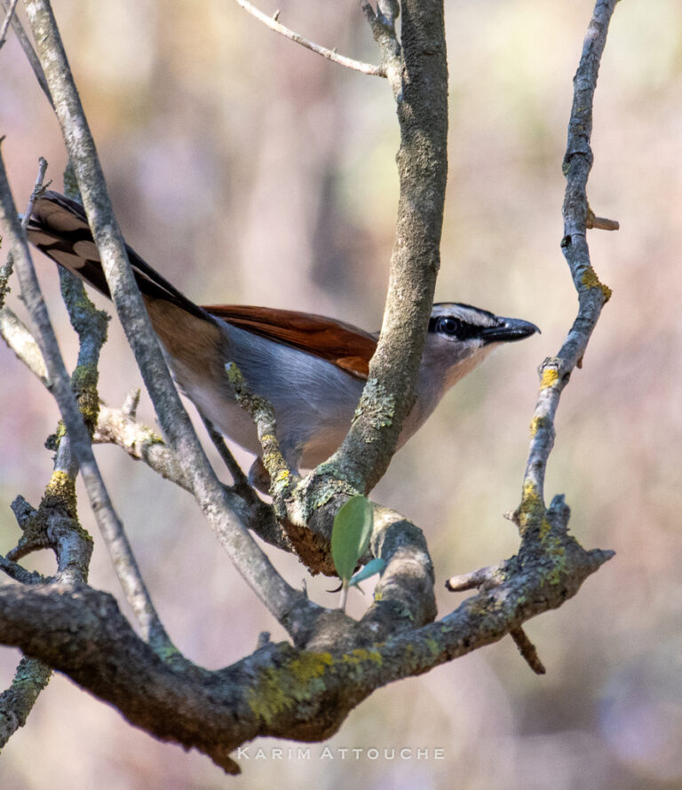
Tchagra senegalus
♥
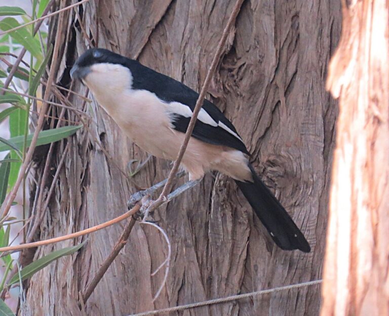
Laniarius major
♥
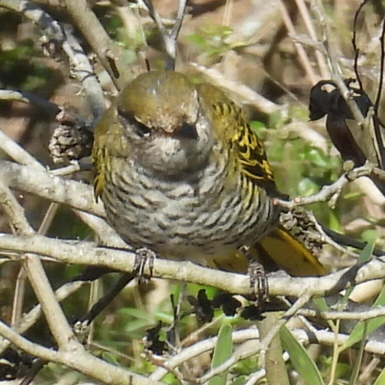
Campephaga flava
♥
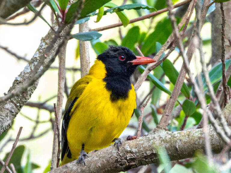
Oriolus larvatus
♥
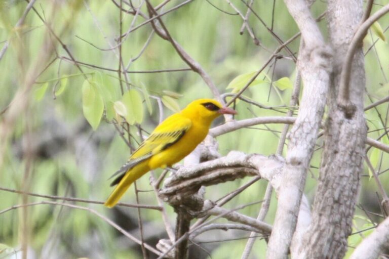
Oriolus auratus
♥
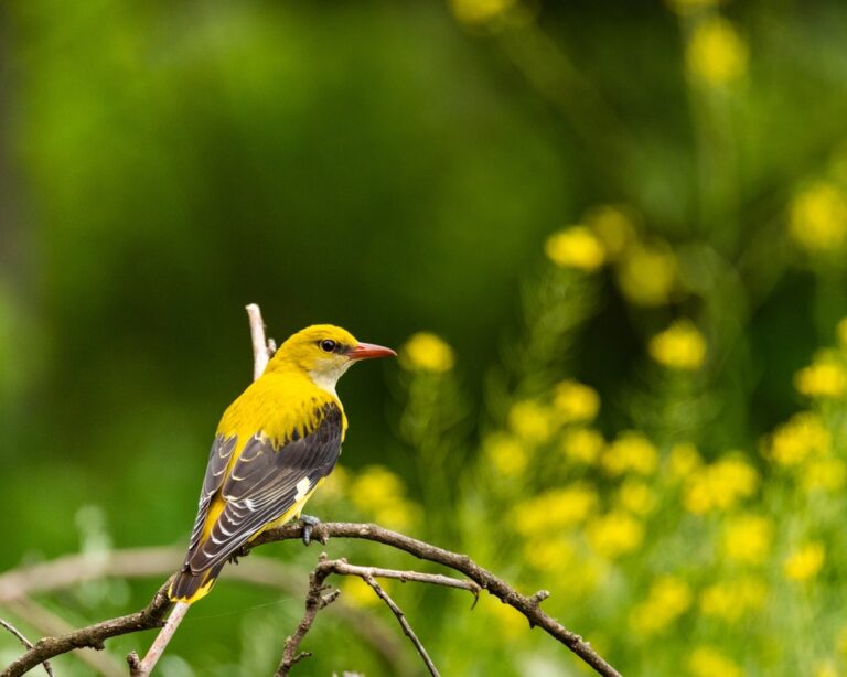
Oriolus oriolus
♥
Dicrurus ludwigii
♥
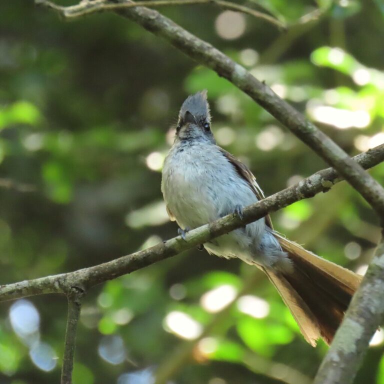
Trochocercus cyanomelas
♥
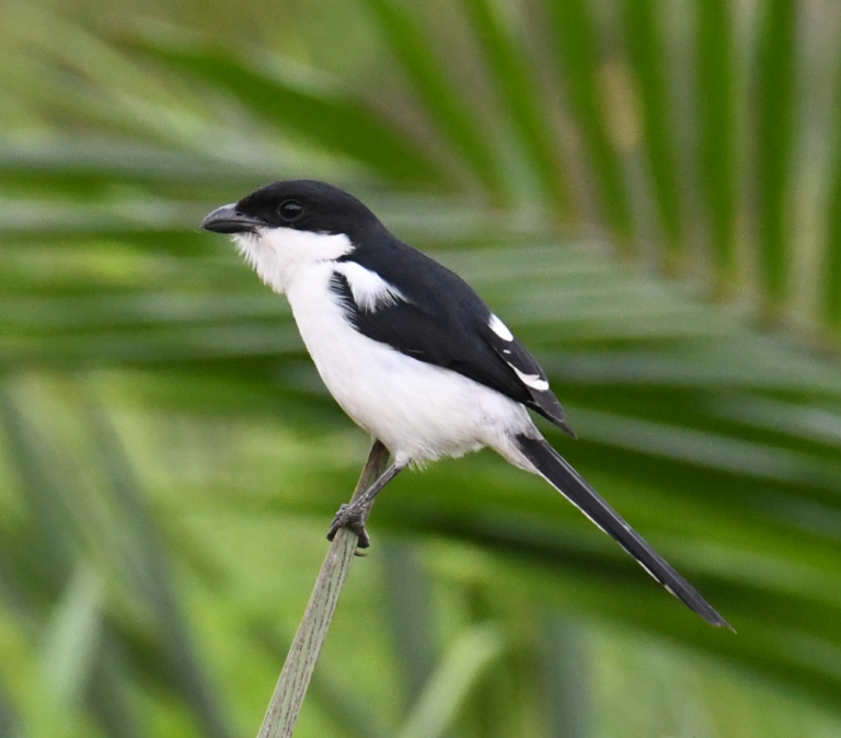
Lanius humeralis
♥
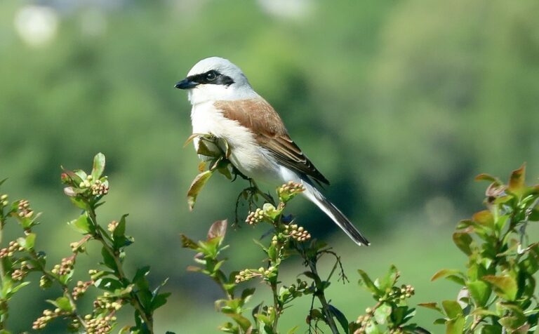
Lanius collurio
♥
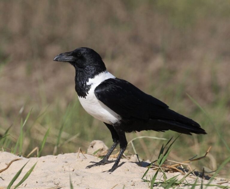
Corvus albus
♥
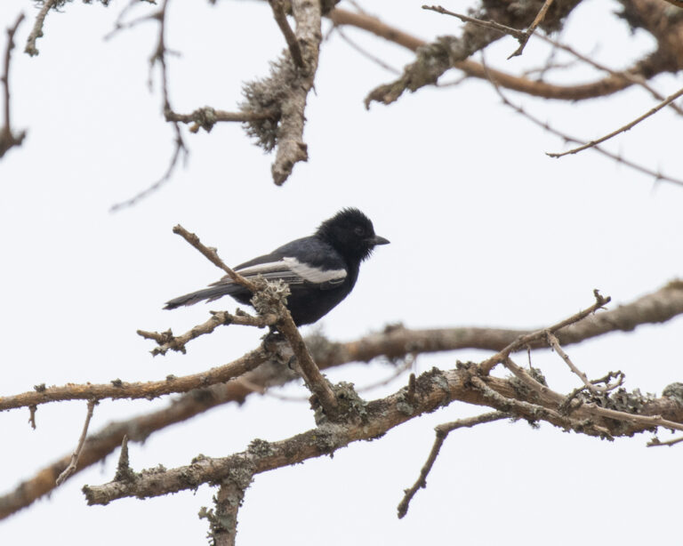
Melaniparus leucomelas
♥
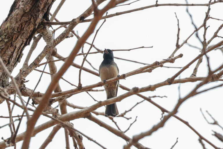
Melaniparus rufiventris
♥
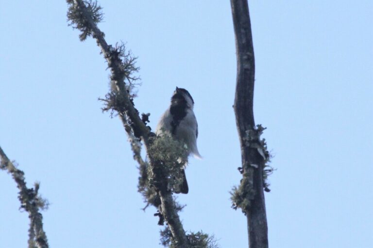
Melaniparus griseiventris
♥
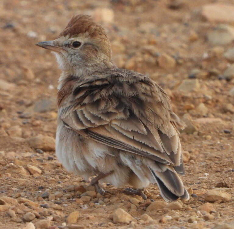
Calandrella cinerea
♥
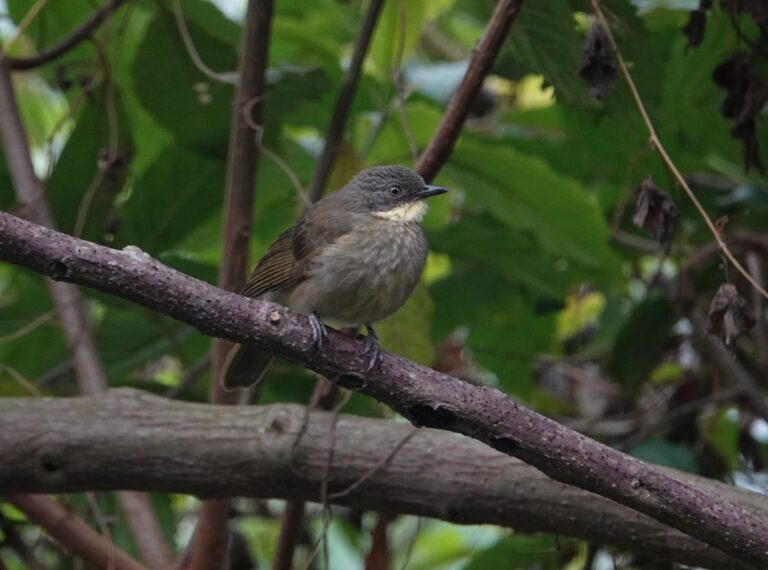
Atimastillas flavigula
♥
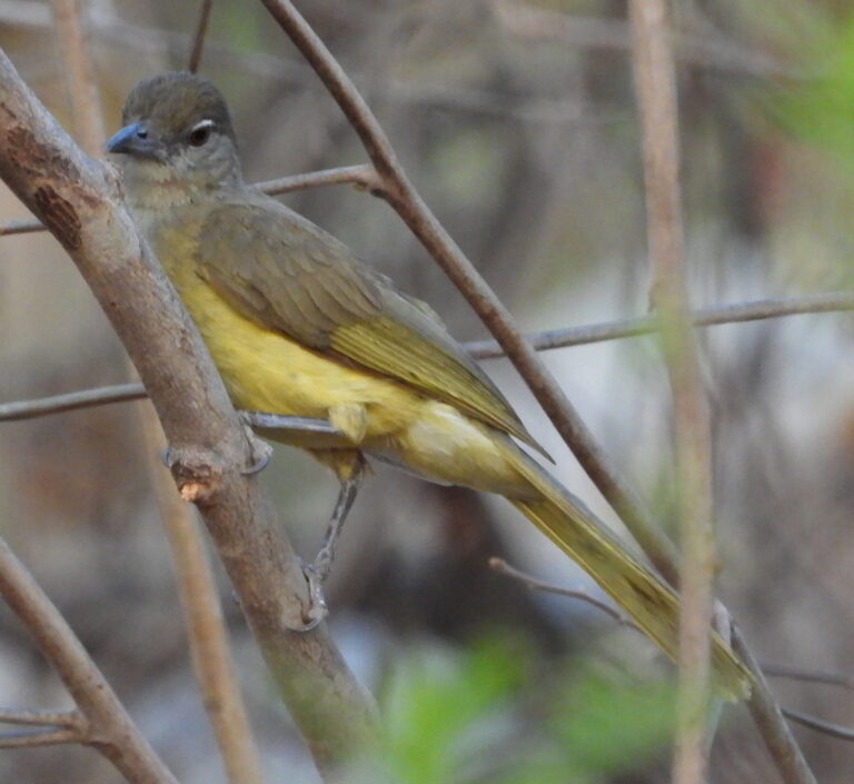
Chlorocichla flaviventris
♥
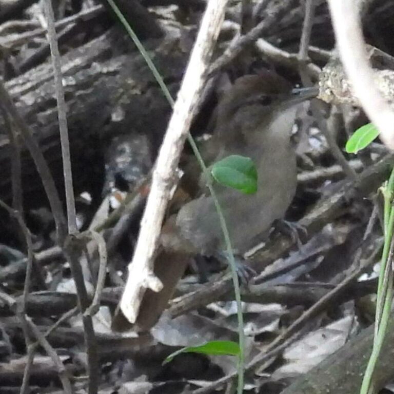
Phyllastrephus terrestris
♥
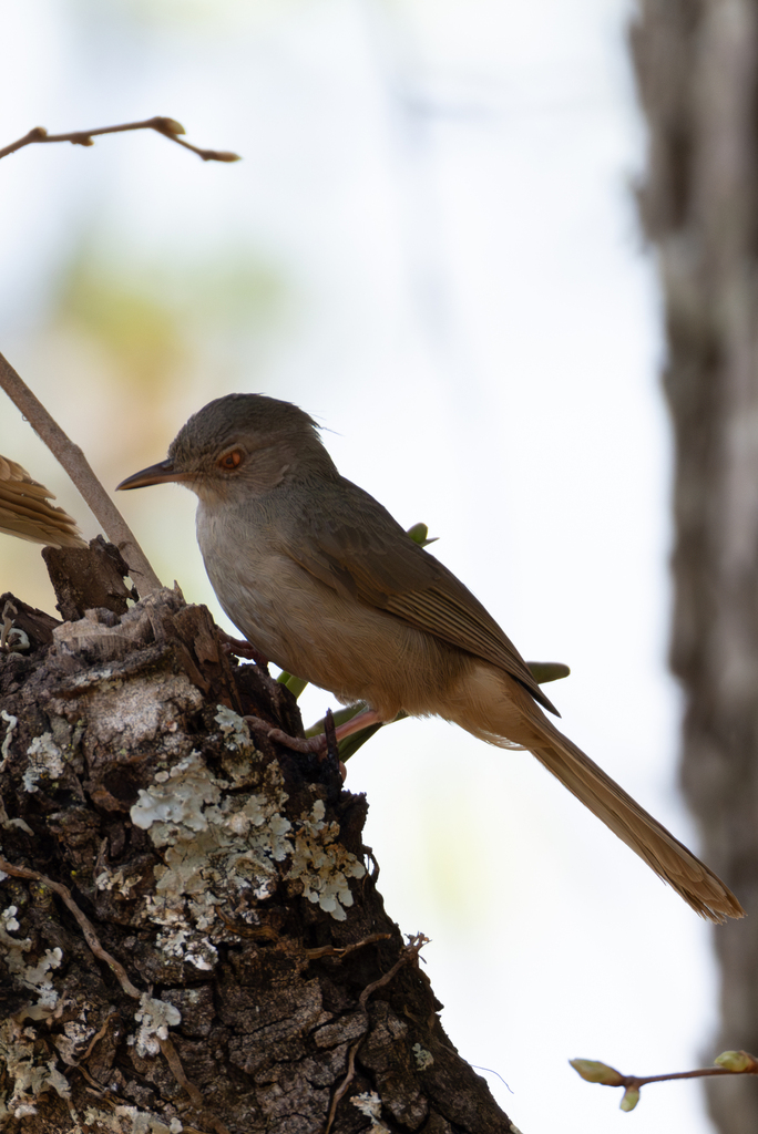
Phyllastrephus cerviniventris
♥
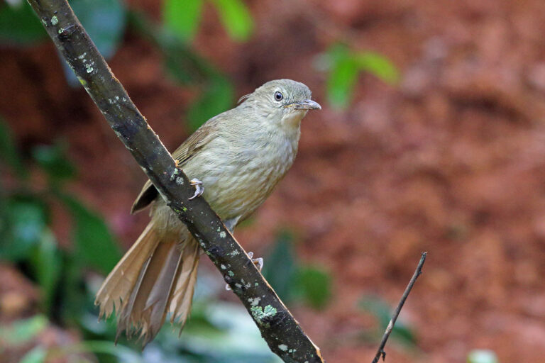
Phyllastrephus cabanisi
♥
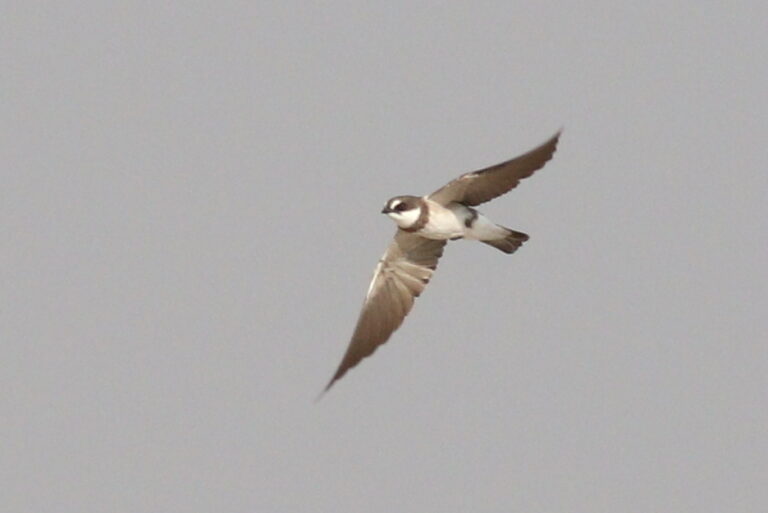
Neophedina cincta
♥
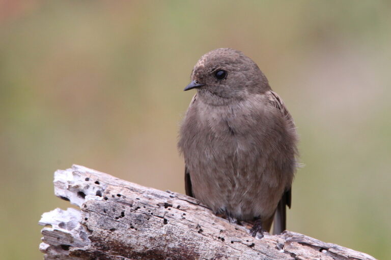
Riparia paludicola
♥
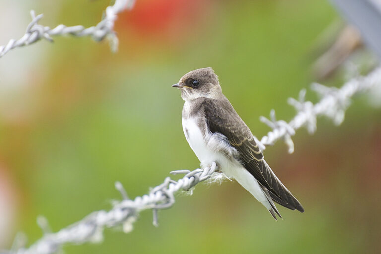
Riparia riparia
♥
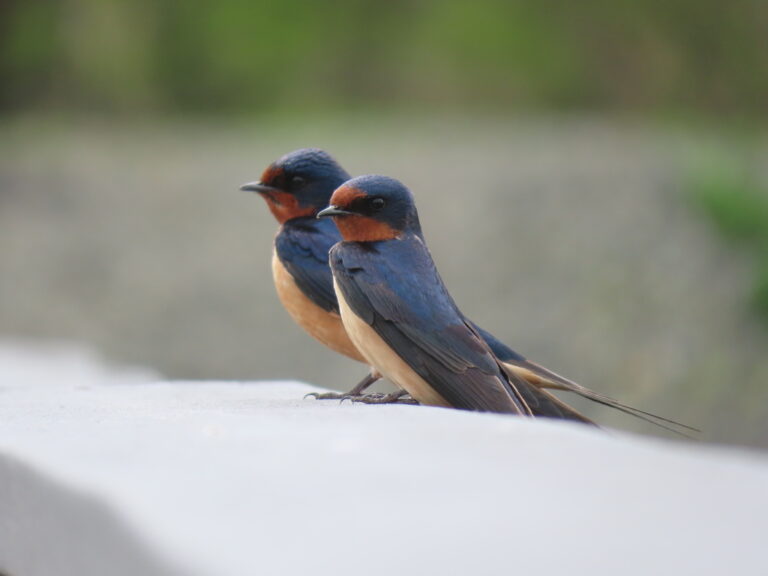
Hirundo rustica
♥
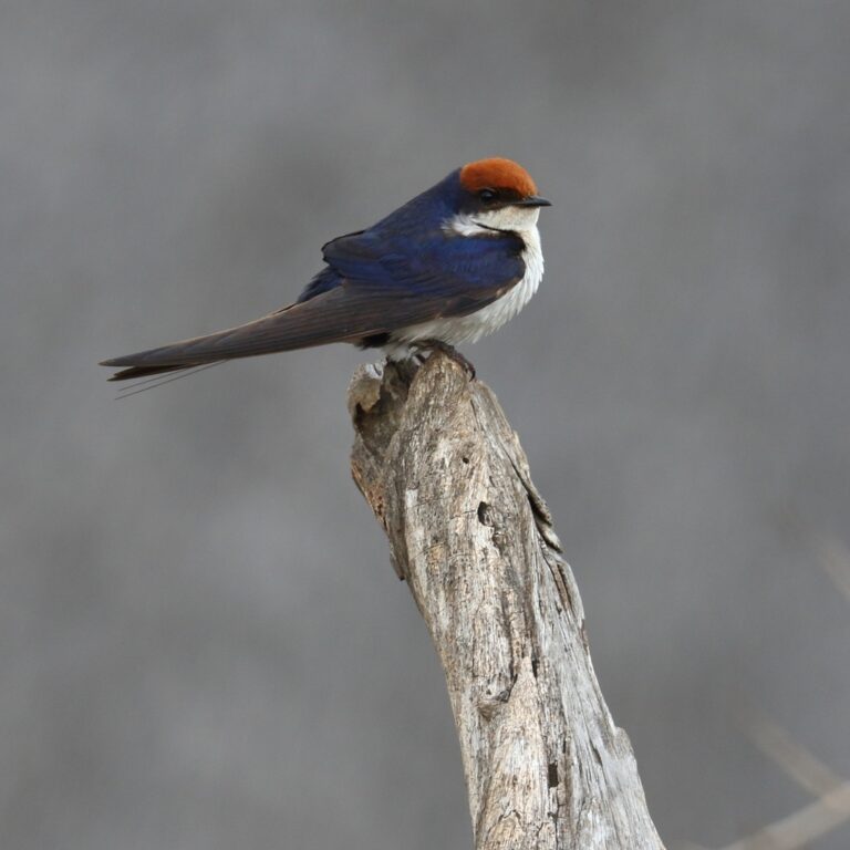
Hirundo smithii
♥
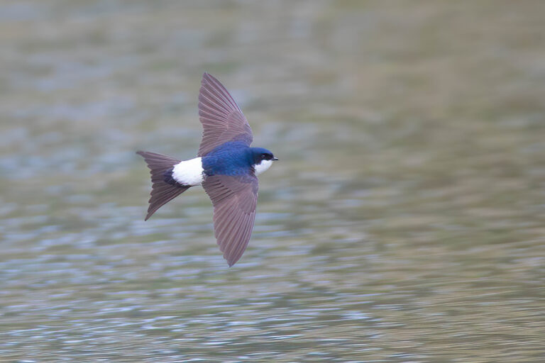
Delichon urbicum
♥
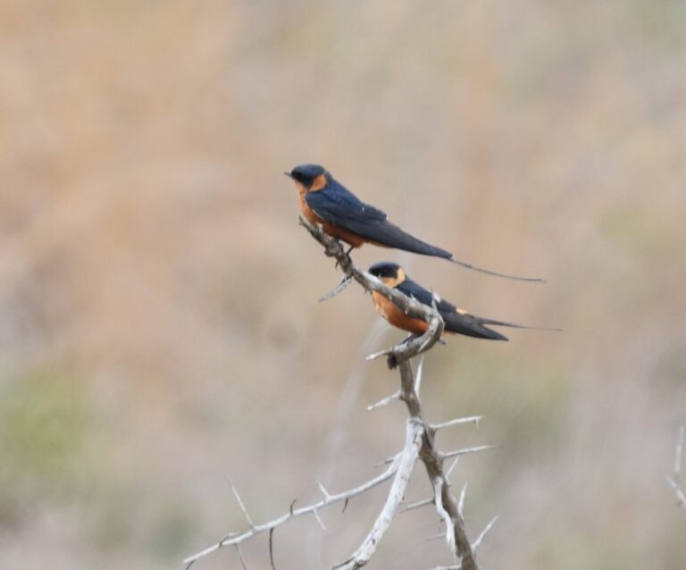
Cecropis semirufa
♥
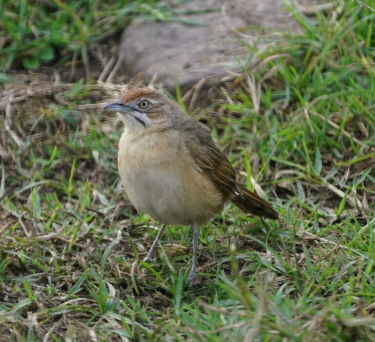
Melocichla mentalis
♥
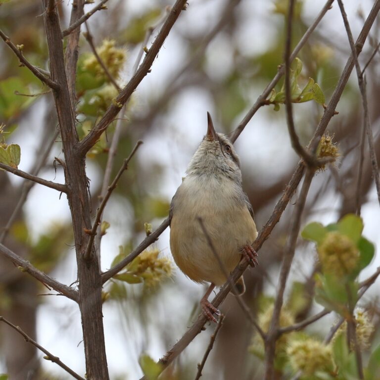
Sylvietta rufescens
♥
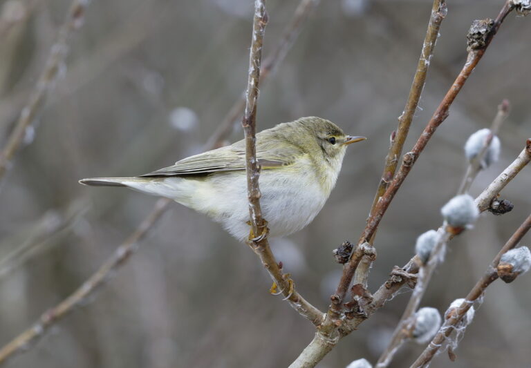
Phylloscopus trochilus
♥
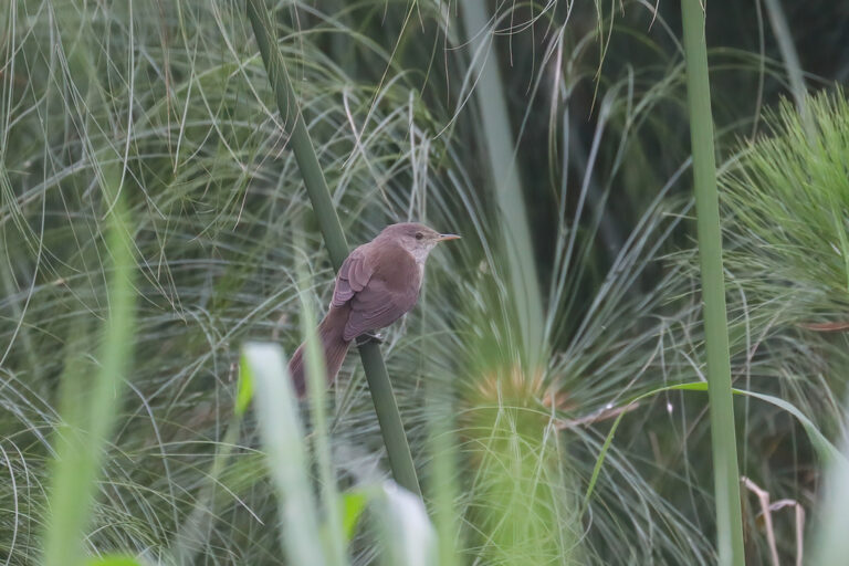
Acrocephalus rufescens
♥
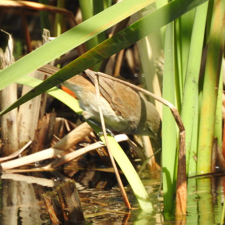
Acrocephalus gracilirostris
♥
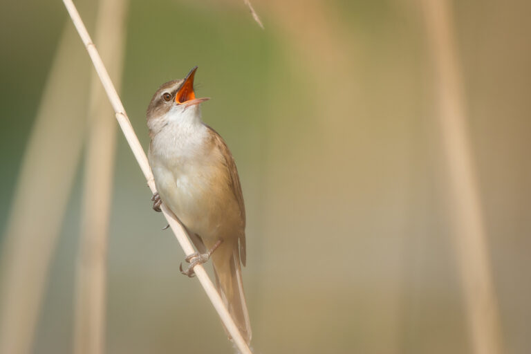
Acrocephalus arundinaceus
♥
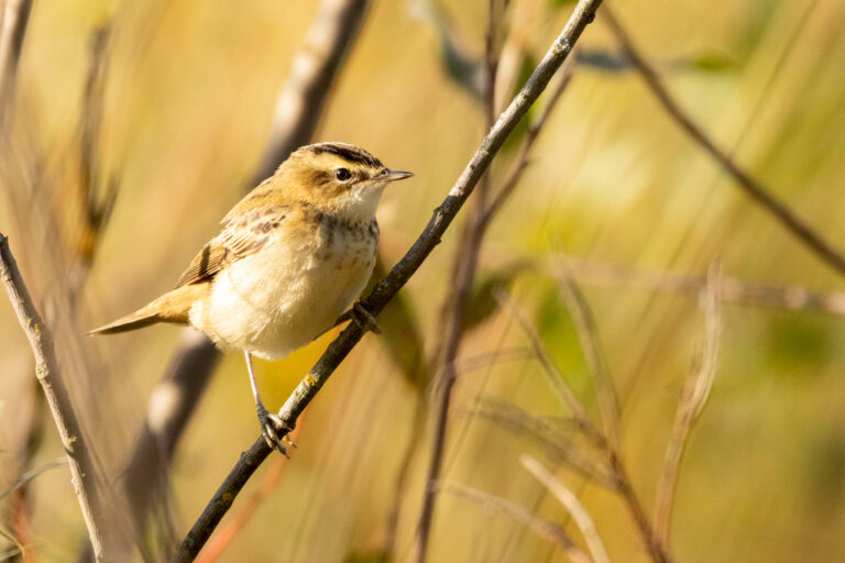
Acrocephalus schoenobaenus
♥
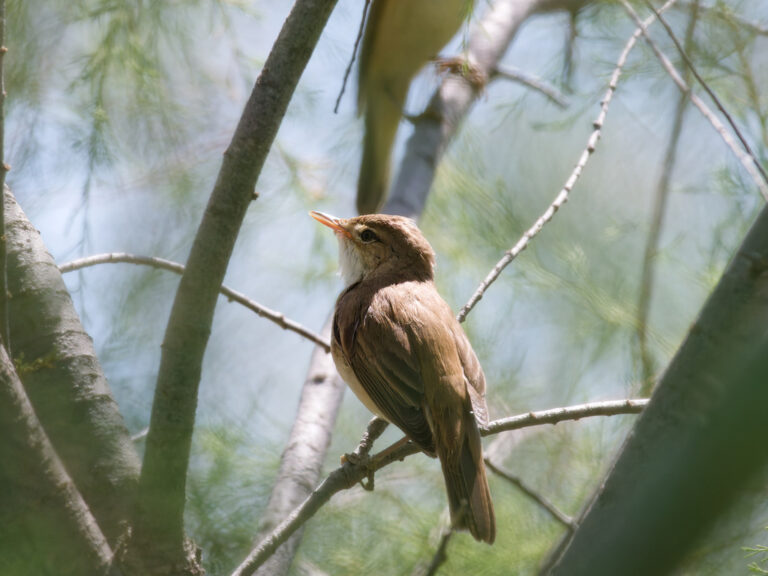
Acrocephalus scirpaceus
♥
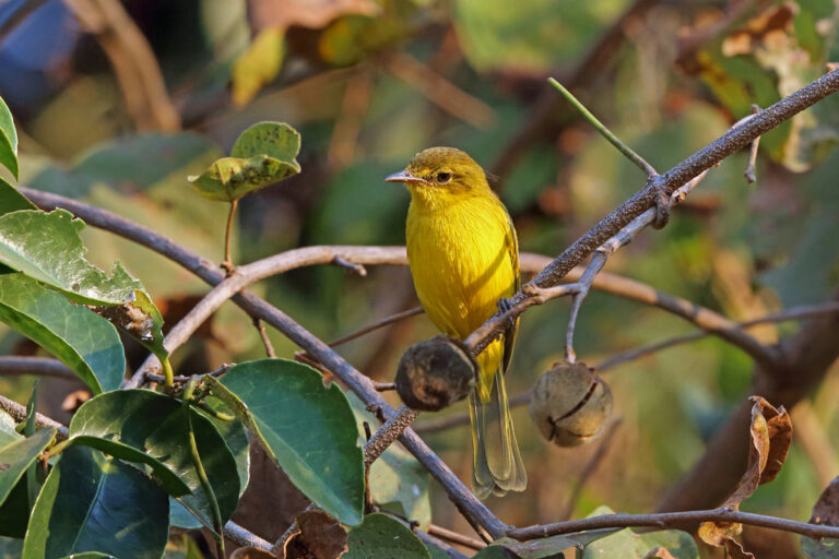
Iduna natalensis
♥
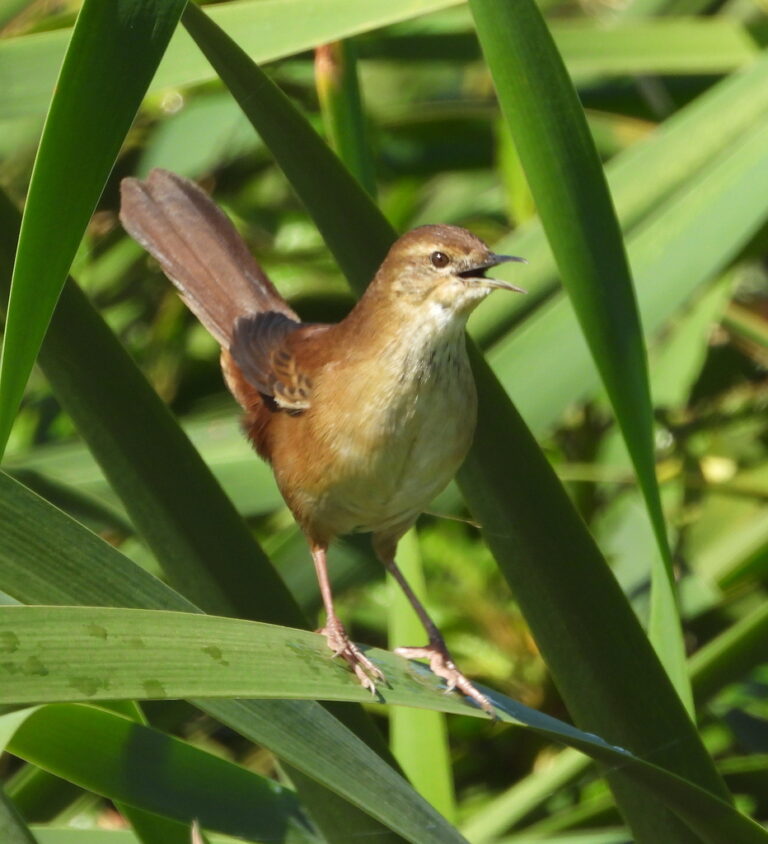
Bradypterus baboecala
♥
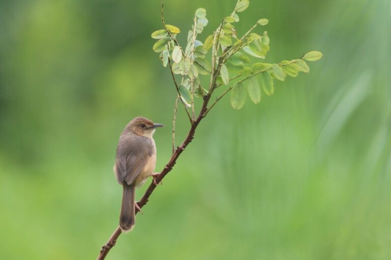
Cisticola erythrops
♥
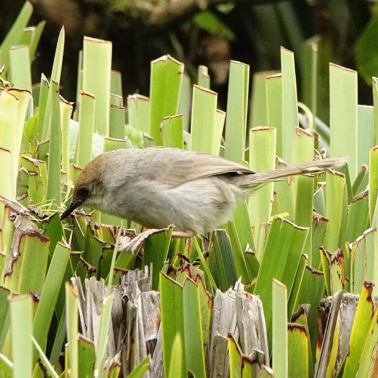
Cisticola woosnami
♥
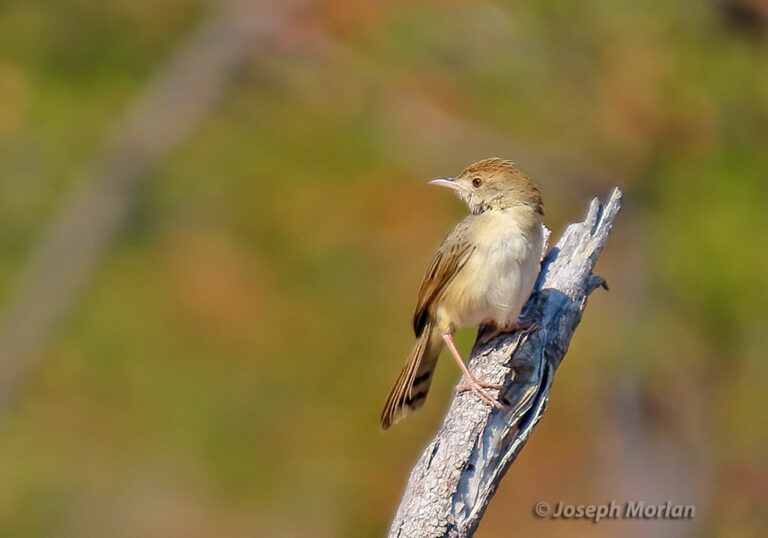
Cisticola chiniana
♥
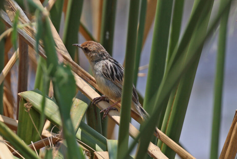
Cisticola pipiens
♥
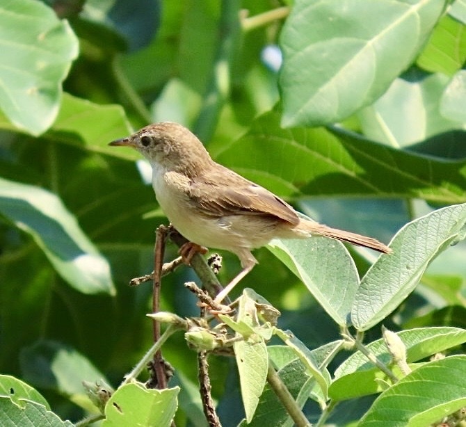
Cisticola brachypterus
♥
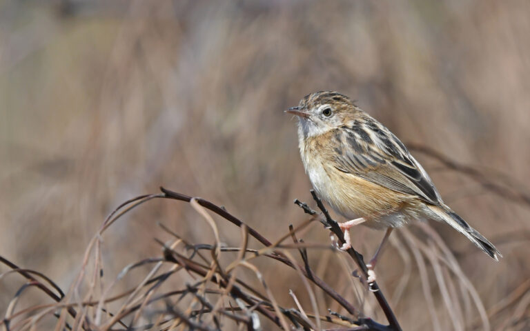
Cisticola juncidis
♥
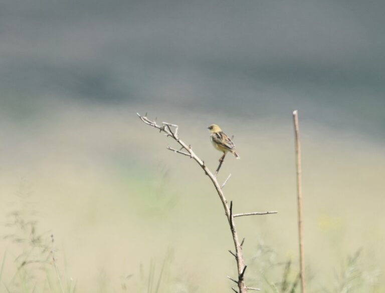
Cisticola cinnamomeus
♥
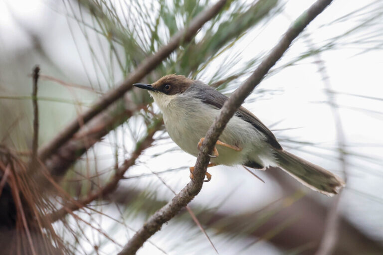
Apalis alticola
♥
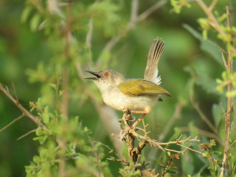
Camaroptera brachyura
♥
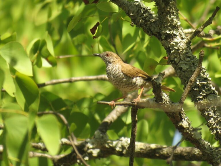
Calamonastes stierlingi
♥
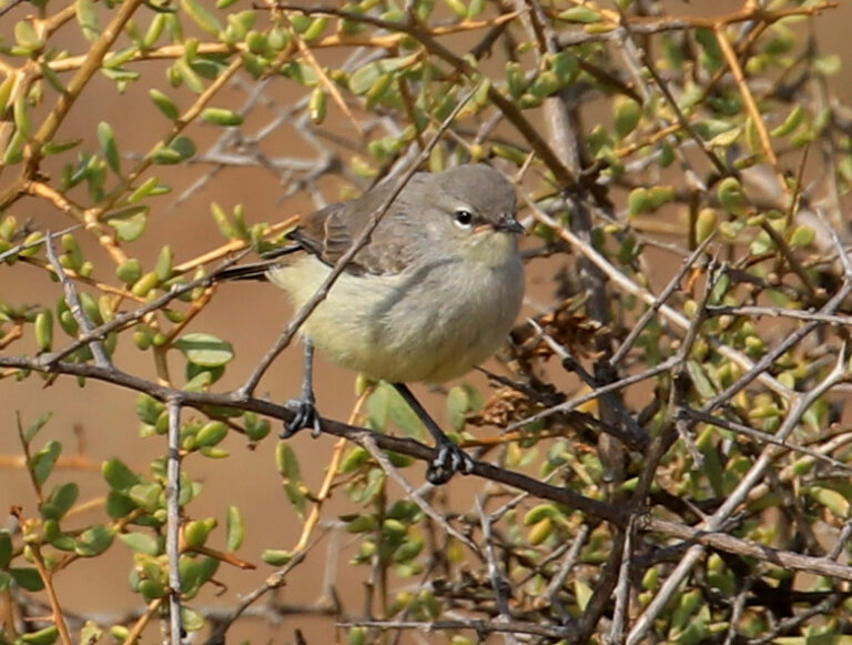
Eremomela icteropygialis
♥
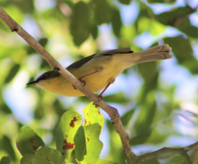
Eremomela scotops
♥
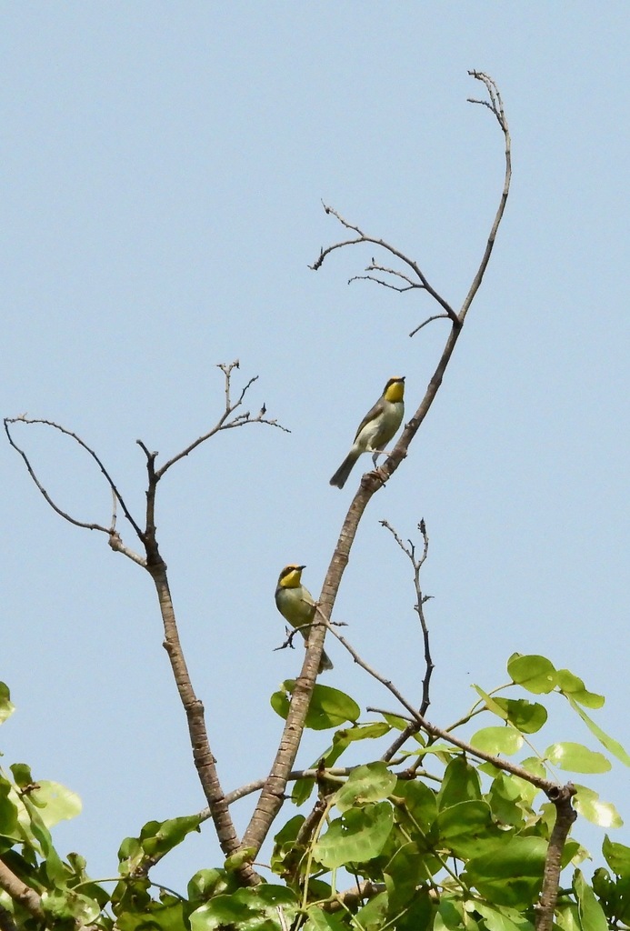
Eremomela atricollis
♥
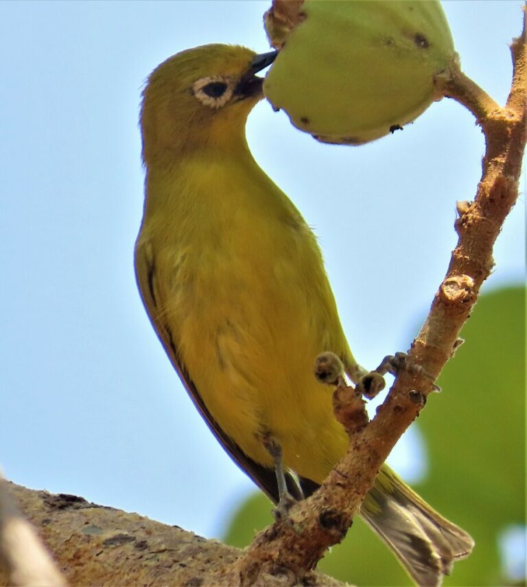
Zosterops anderssoni
♥
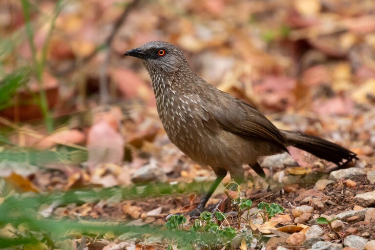
Turdoides jardineii
♥
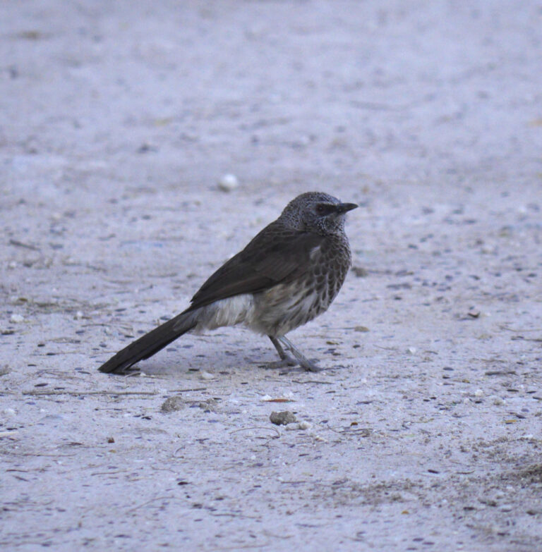
Turdoides hartlaubii
♥
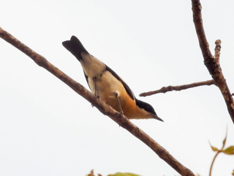
Hyliota flavigaster
♥
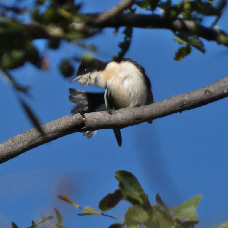
Hyliota australis
♥
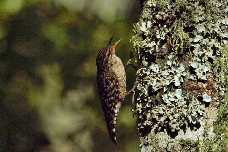
Salpornis salvadori
♥
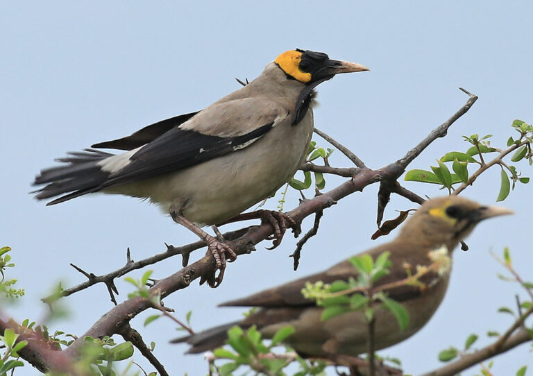
Creatophora cinerea
♥
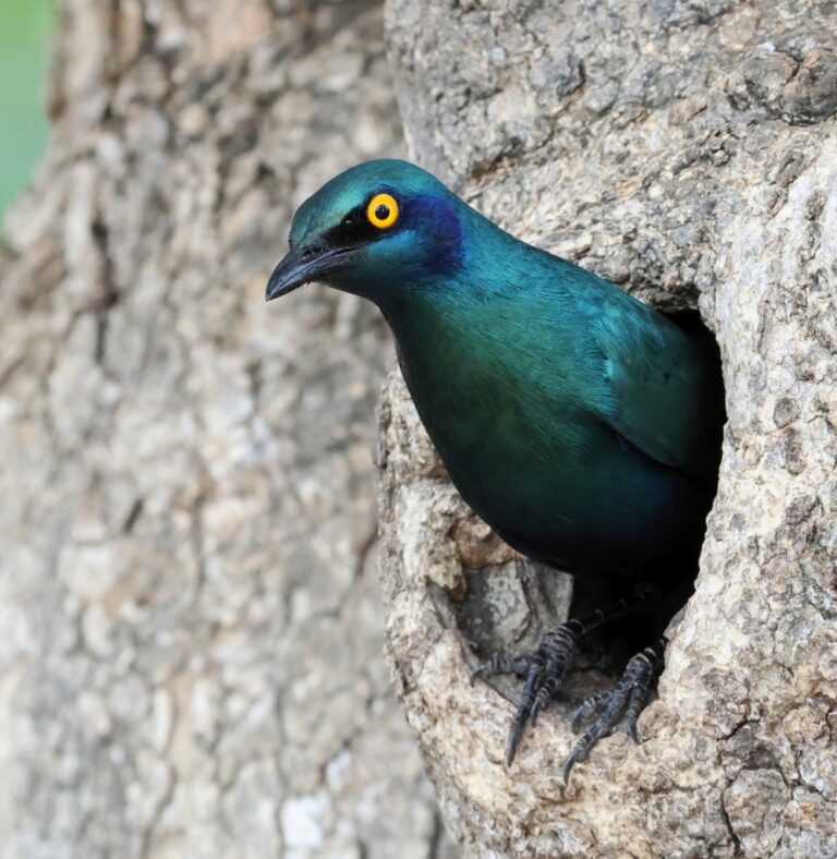
Lamprotornis chalybaeus
♥
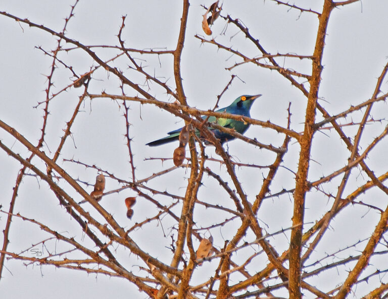
Lamprotornis chloropterus
♥
Lamprotornis acuticaudus
♥
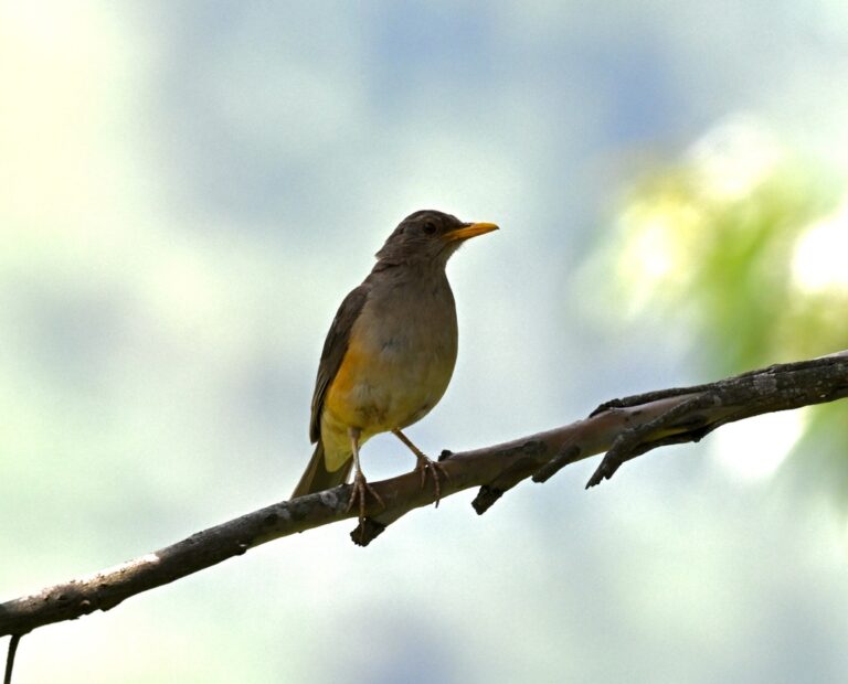
Turdus pelios
♥
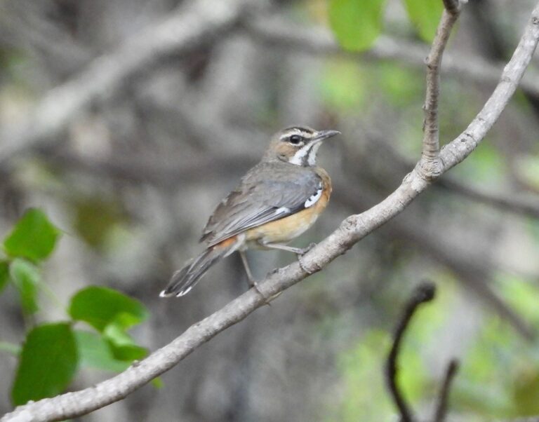
Tychaedon barbata
♥
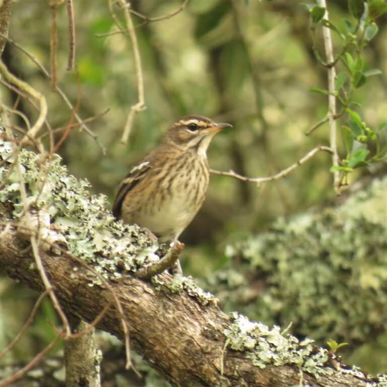
Cercotrichas leucophrys
♥
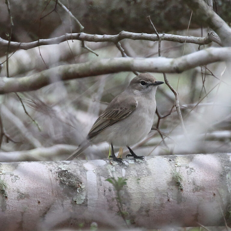
Agricola pallidus
♥
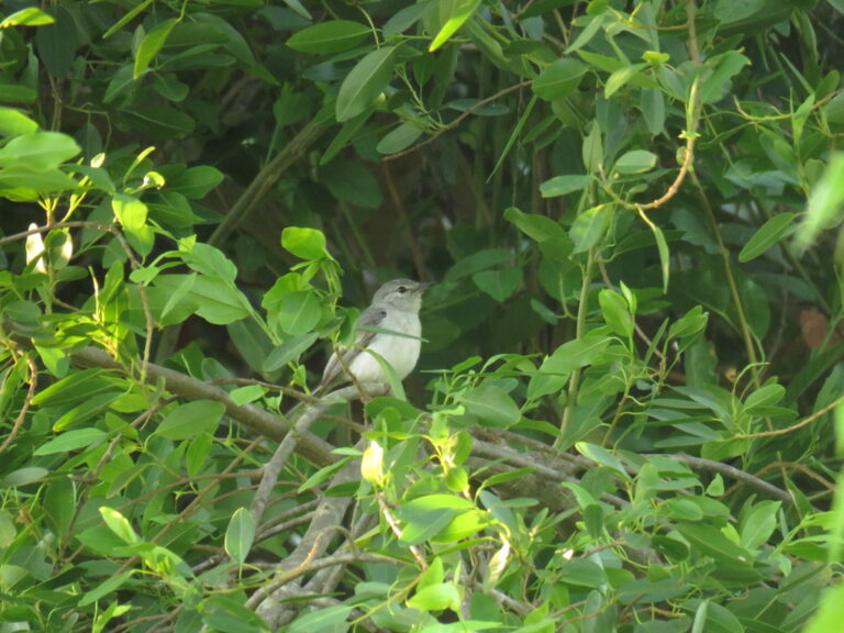
Fraseria plumbea
♥
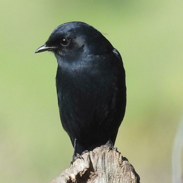
Melaenornis pammelaina
♥
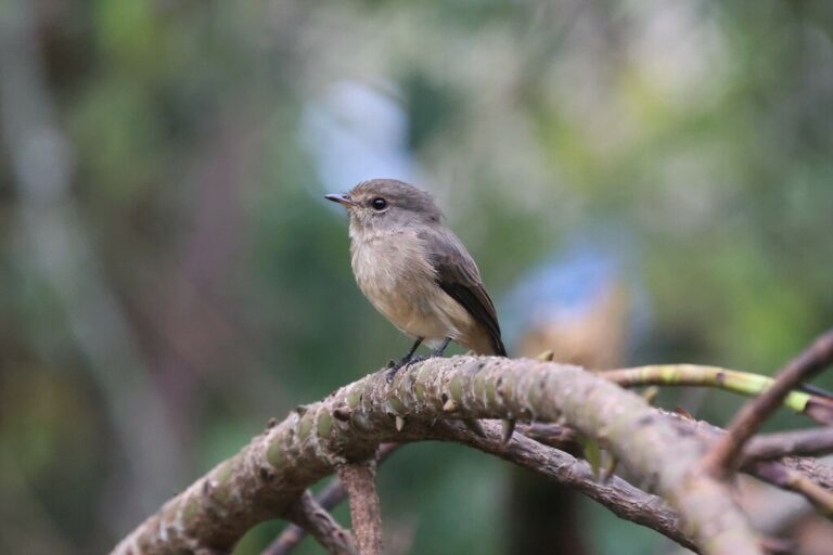
Muscicapa adusta
♥
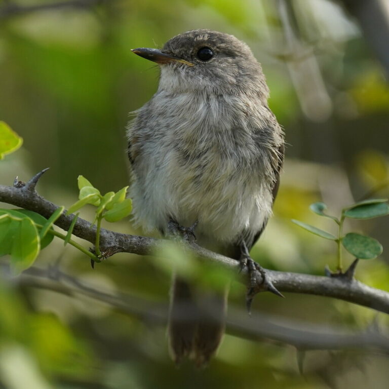
Muscicapa aquatica
♥
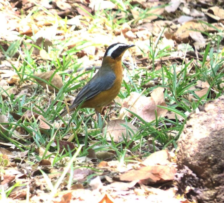
Cossypha heuglini
♥
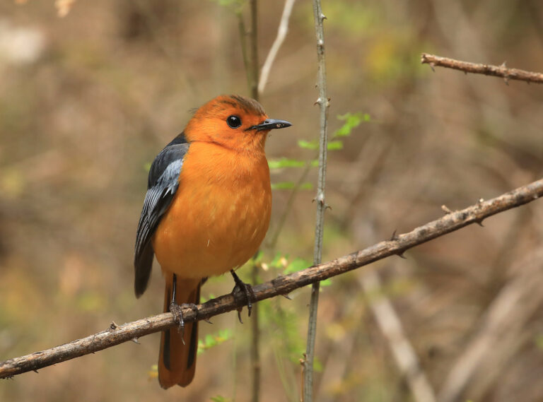
Cossypha natalensis
♥
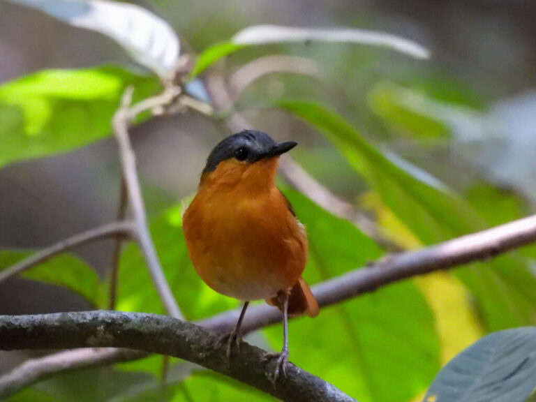
Sheppardia bocagei
♥
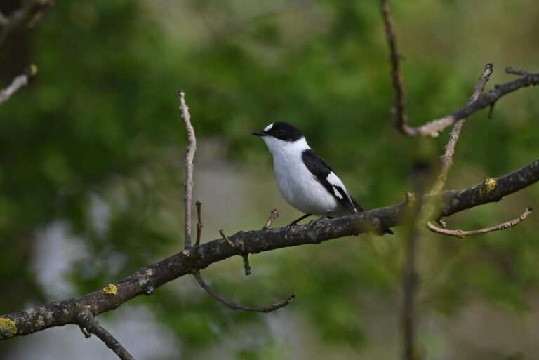
Ficedula albicollis
♥
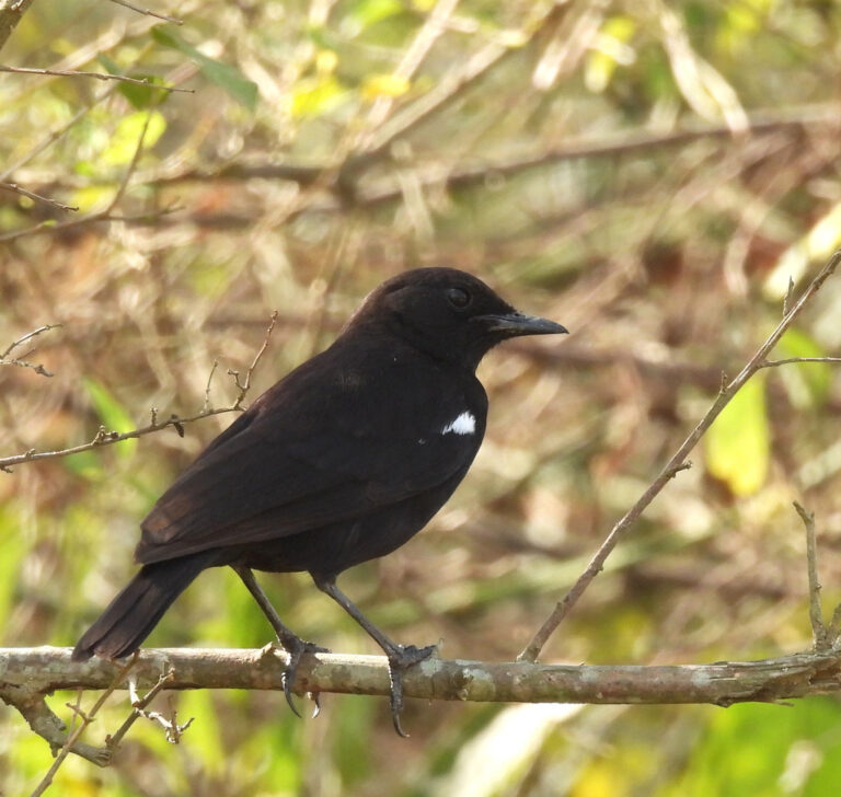
Myrmecocichla nigra
♥
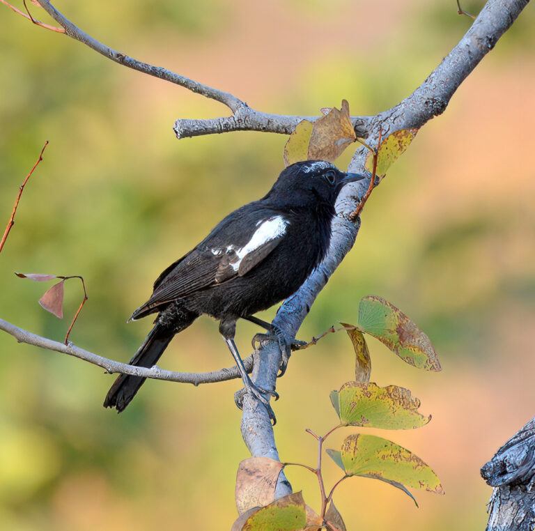
Myrmecocichla arnotti
♥
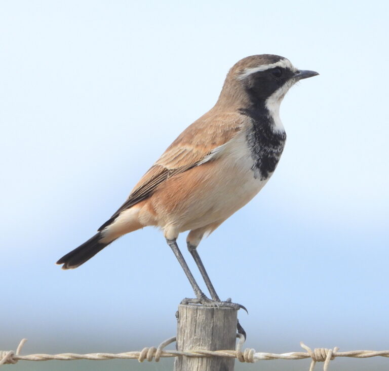
Oenanthe pileata
♥
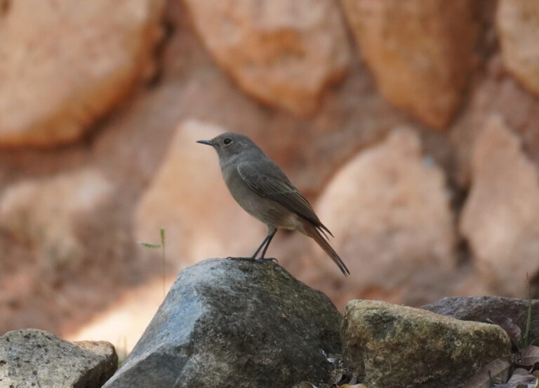
Oenanthe familiaris
♥
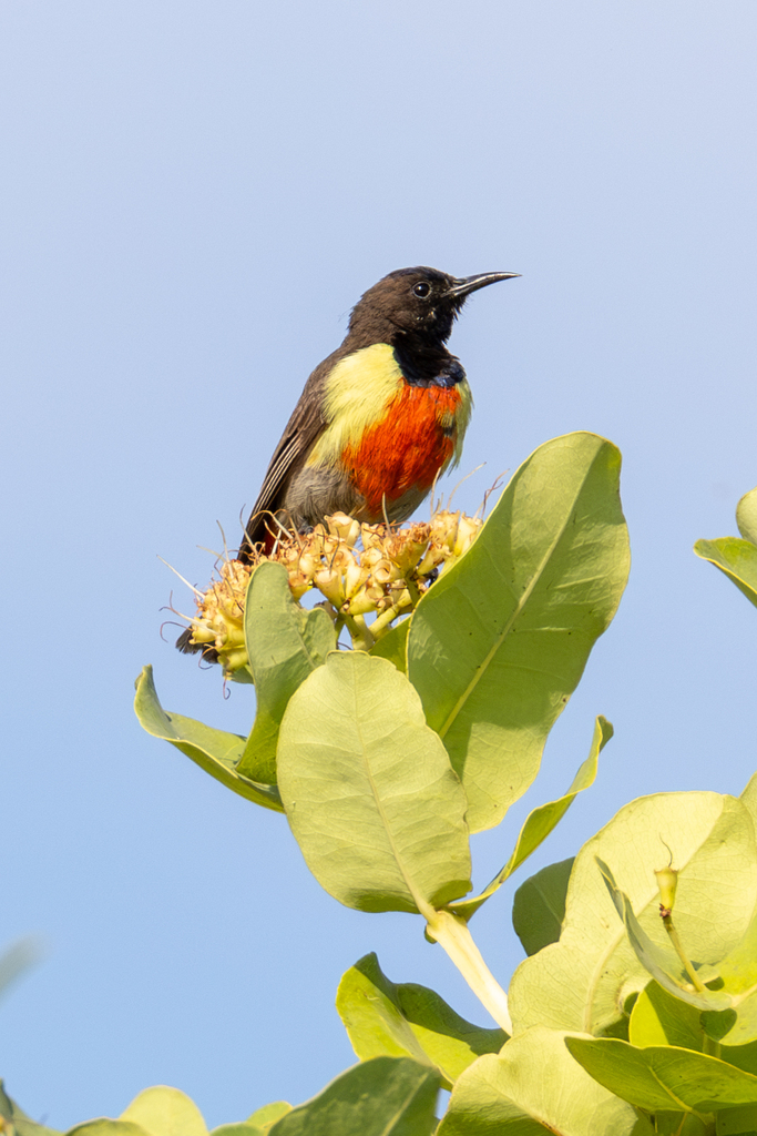
Anthreptes anchietae
♥
Anthreptes longuemarei
♥
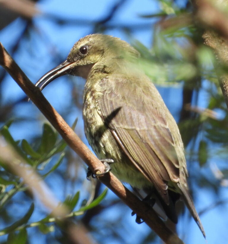
Chalcomitra amethystina
♥
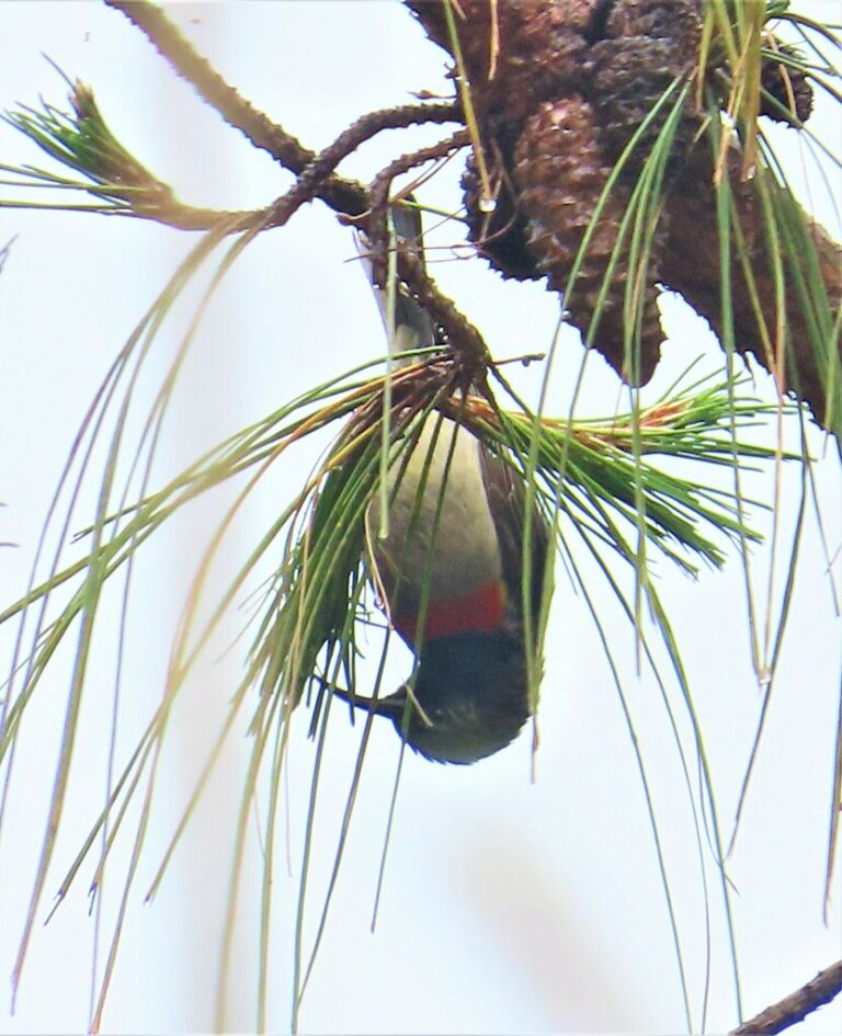
Cinnyris manoensis
♥
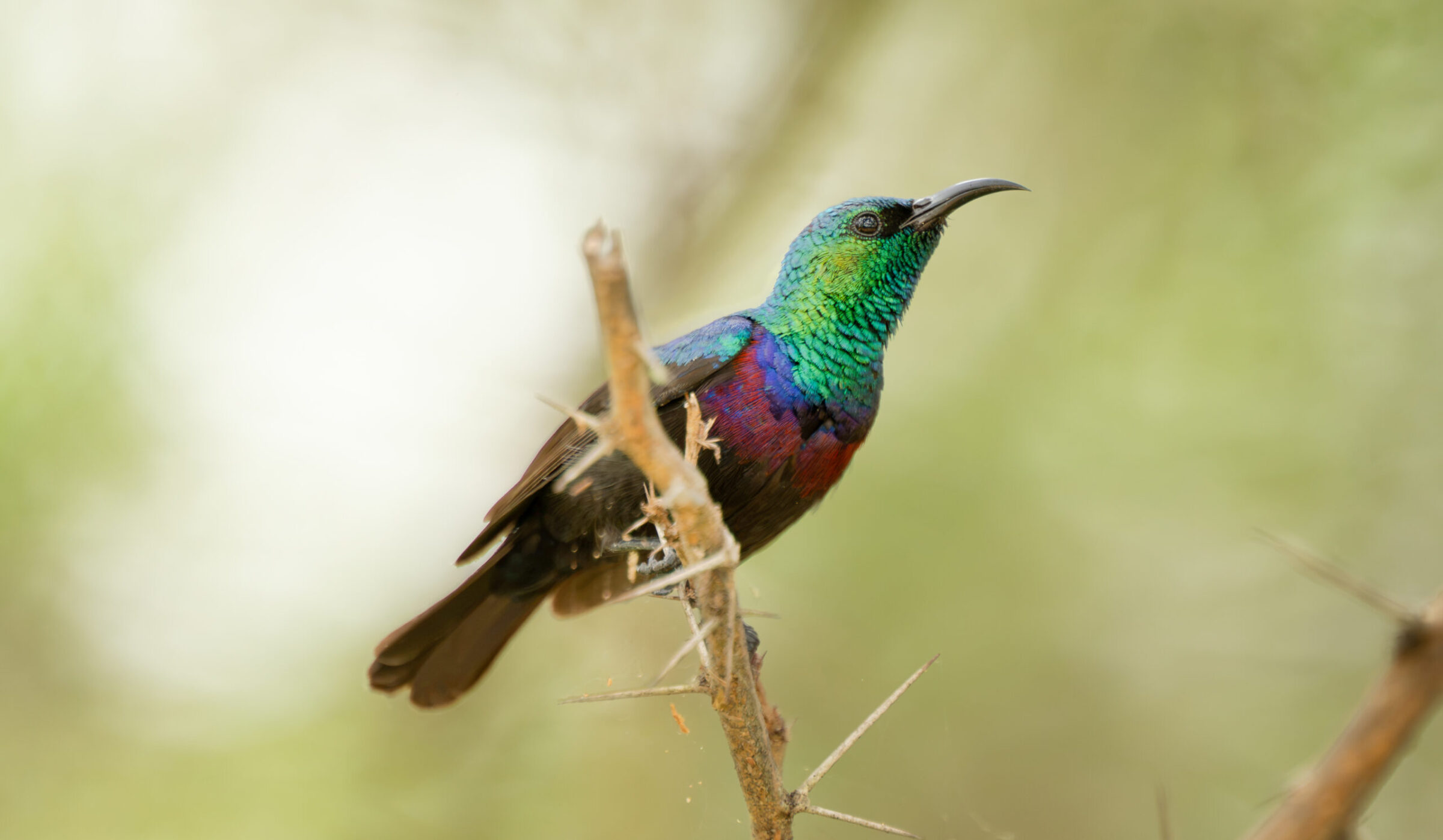
Cinnyris bifasciatus
♥
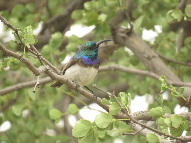
Cinnyris talatala
♥
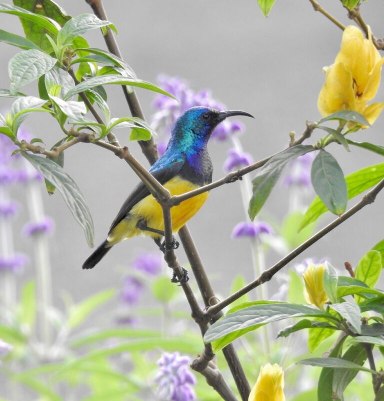
Cinnyris venustus
♥
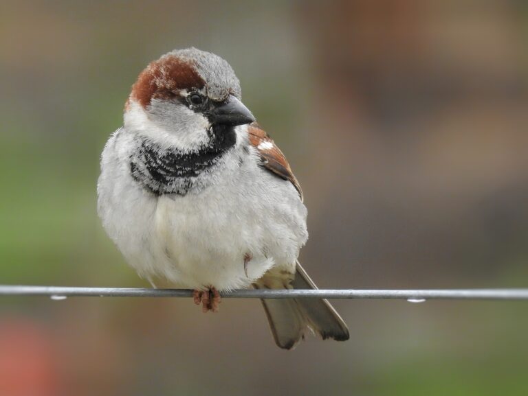
Passer domesticus
♥
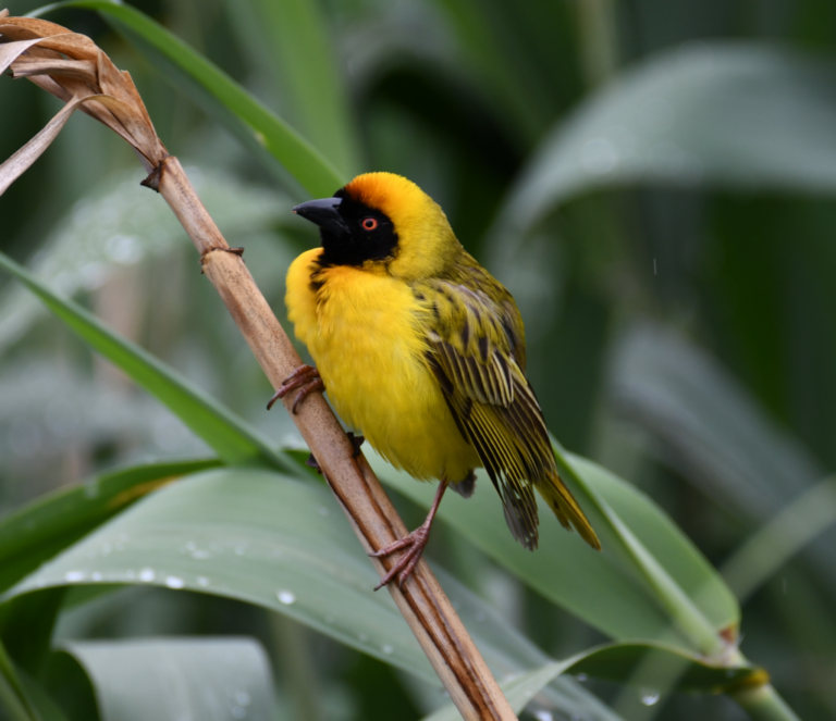
Ploceus velatus
♥
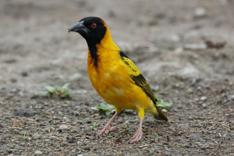
Ploceus cucullatus
♥
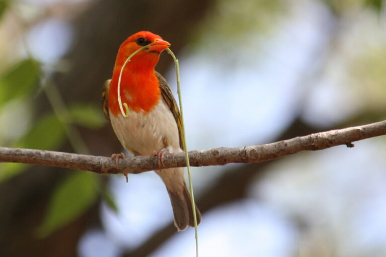
Anaplectes rubriceps
♥
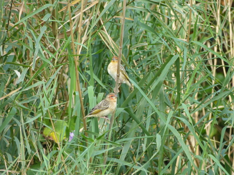
Quelea erythrops
♥
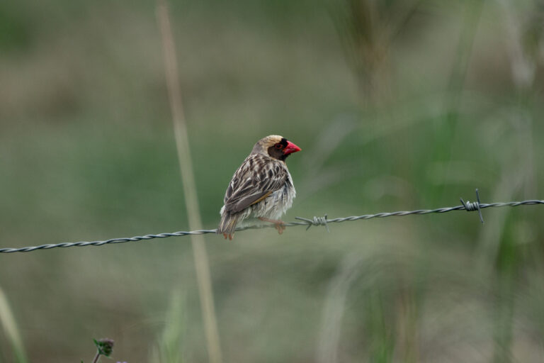
Quelea quelea
♥
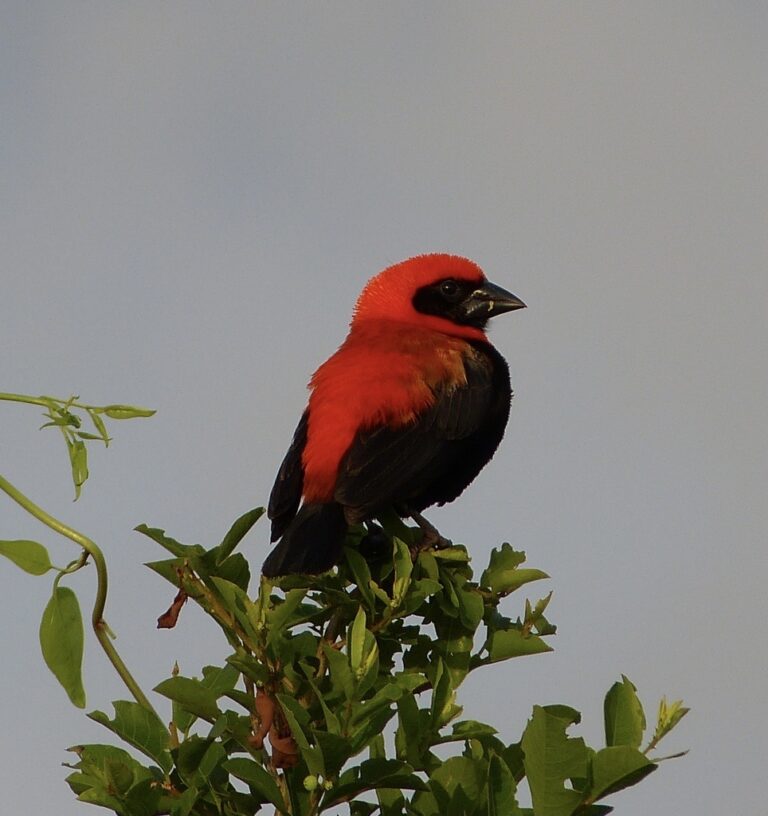
Euplectes hordeaceus
♥
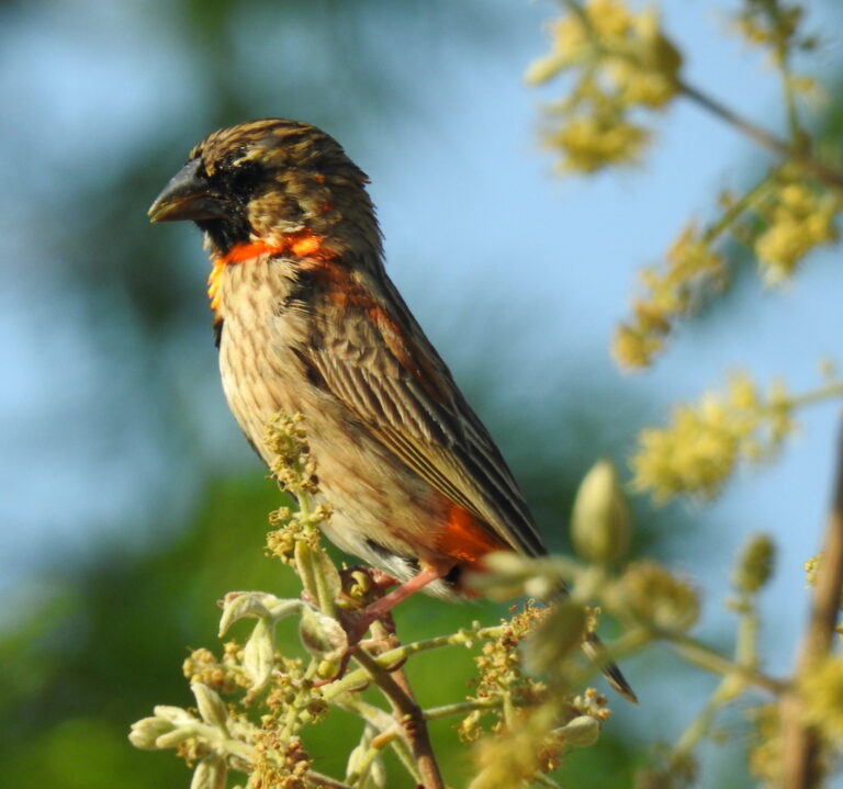
Euplectes orix
♥
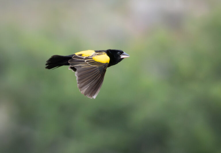
Euplectes capensis
♥
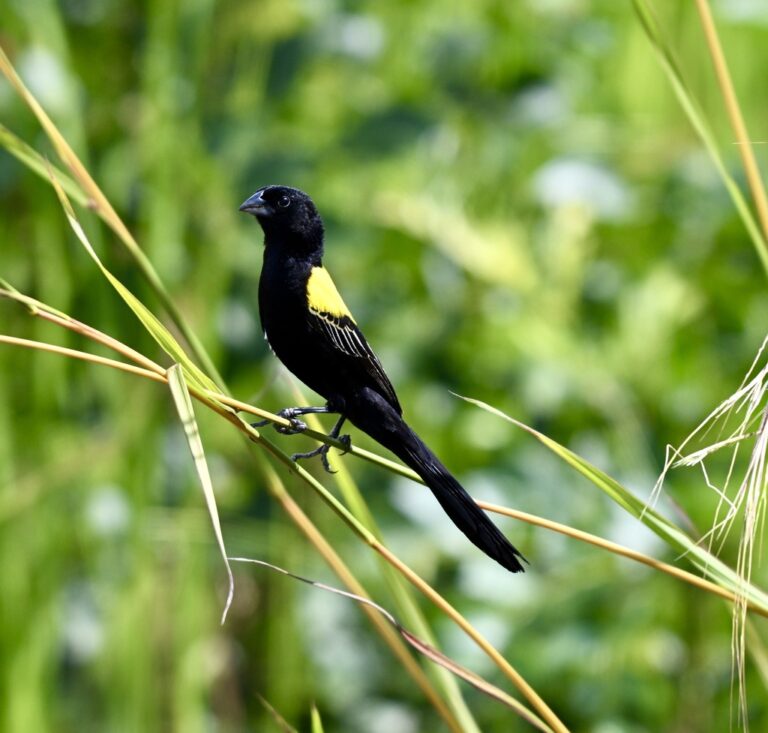
Euplectes macroura
♥
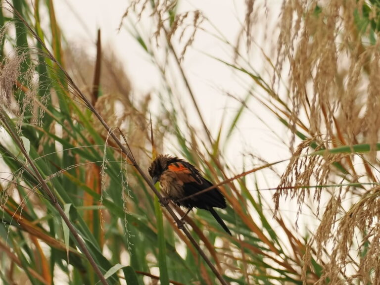
Euplectes hartlaubi
♥
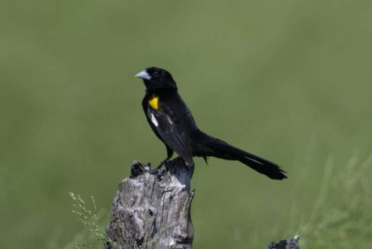
Euplectes albonotatus
♥
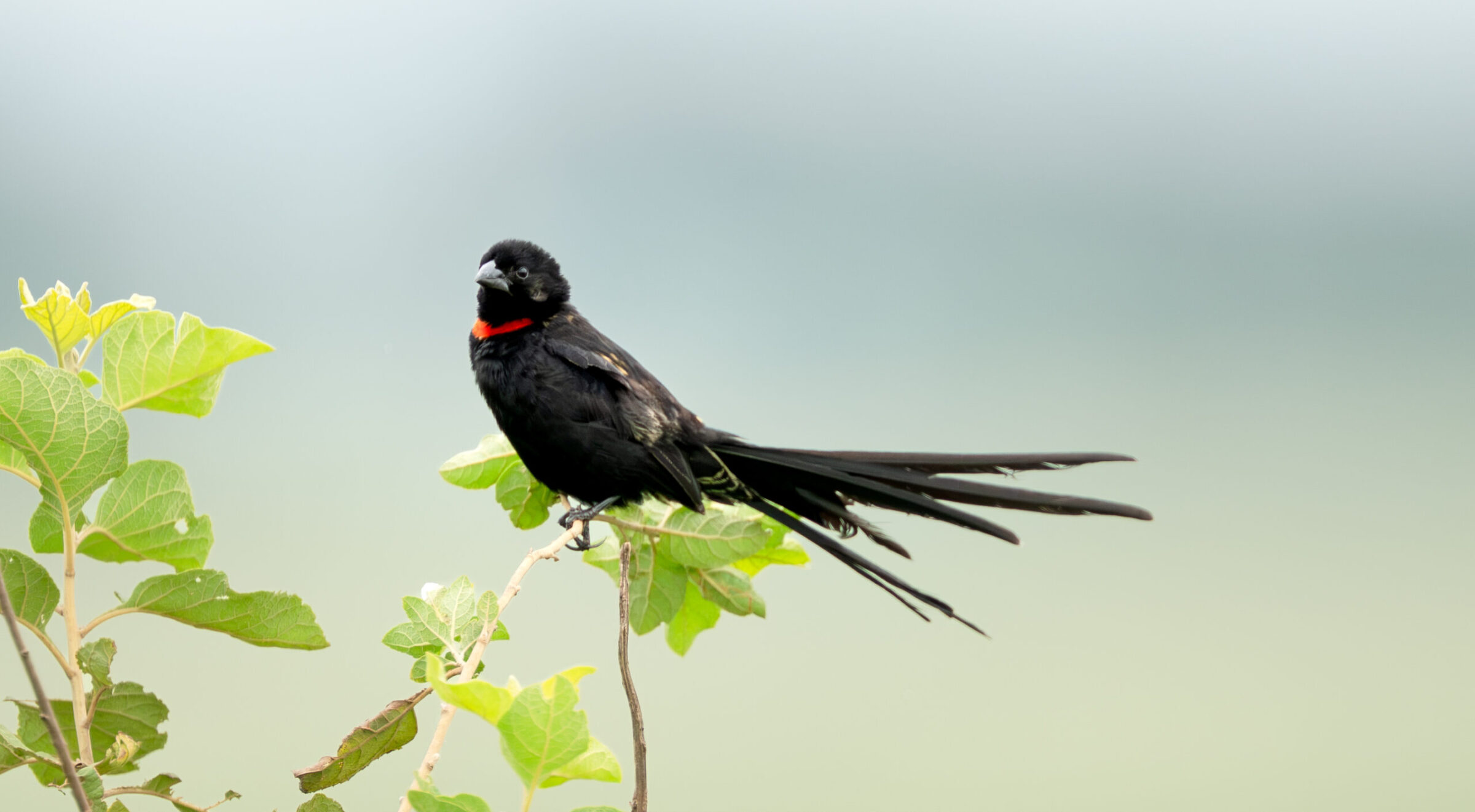
Euplectes ardens
♥
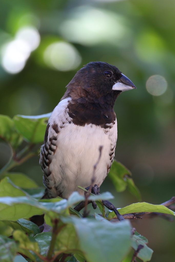
Spermestes cucullata
♥
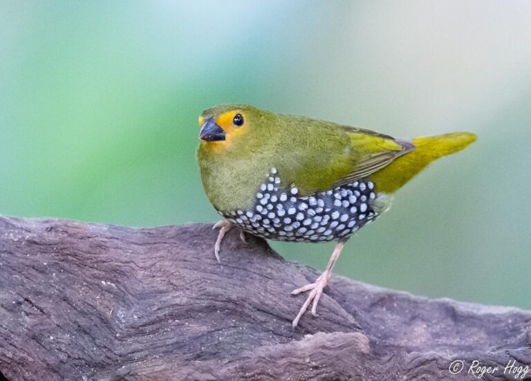
Mandingoa nitidula
♥
Paludipasser locustella
♥
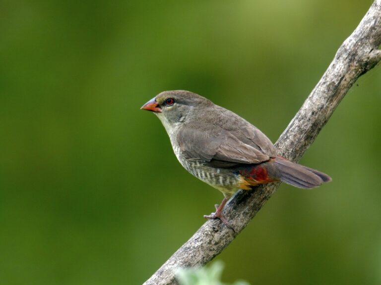
Amandava subflava
♥
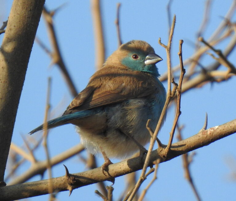
Uraeginthus angolensis
♥
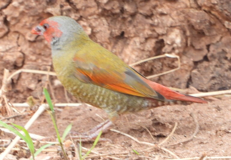
Pytilia afra
♥
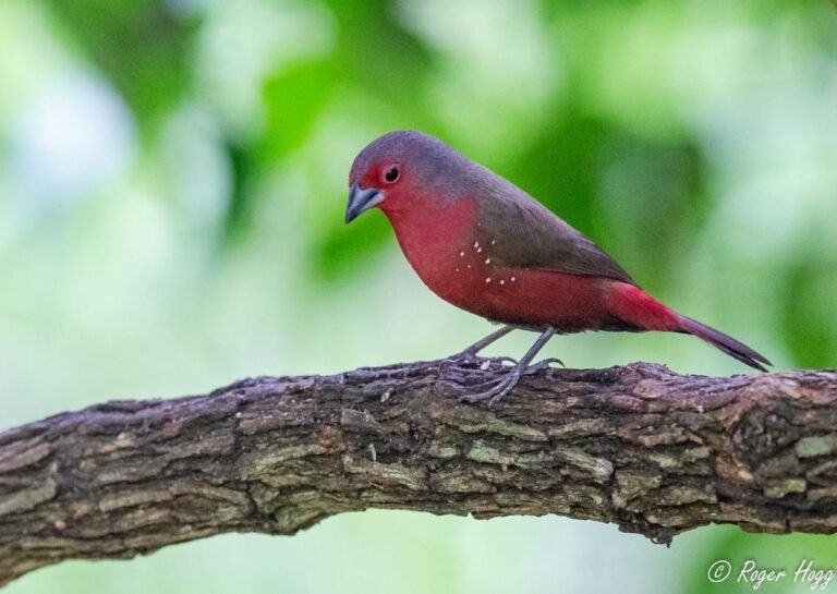
Lagonosticta rubricata
♥
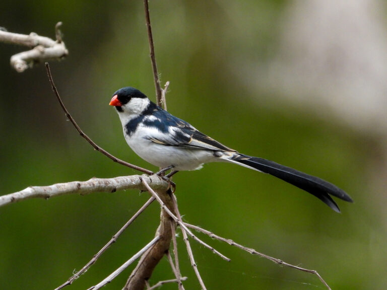
Vidua macroura
♥
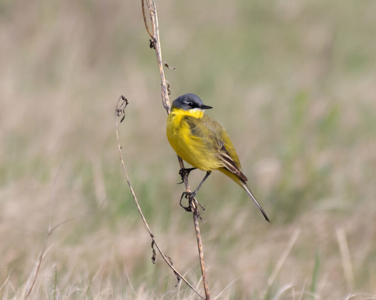
Motacilla flava
♥
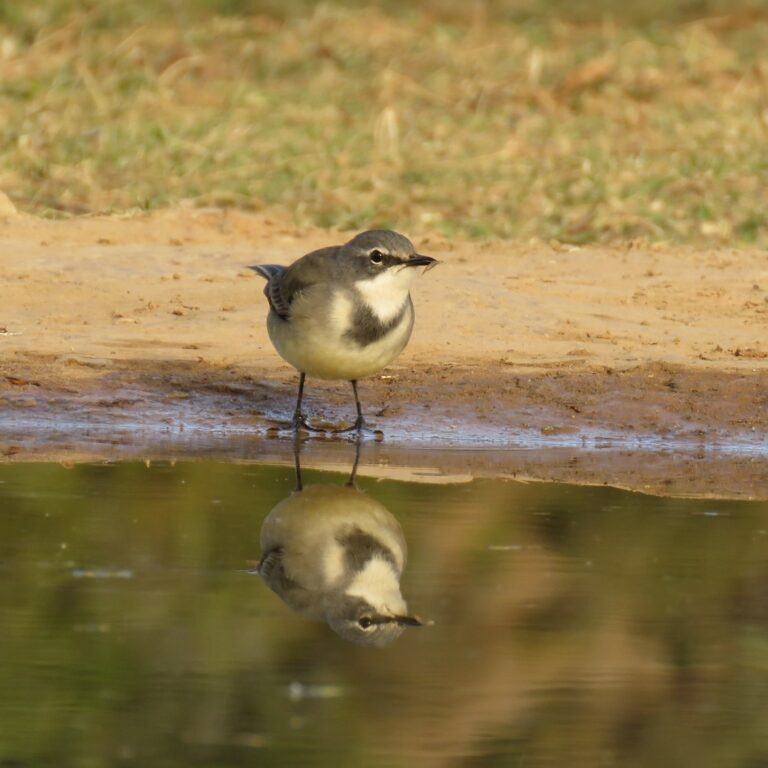
Motacilla capensis
♥
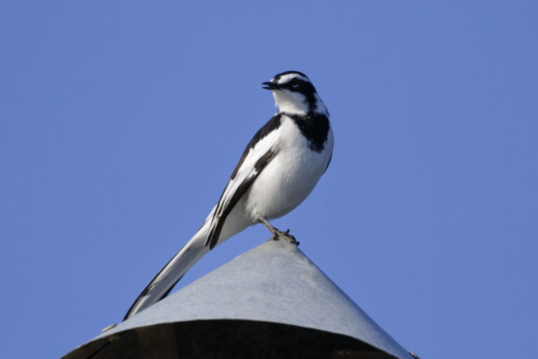
Motacilla aguimp
♥
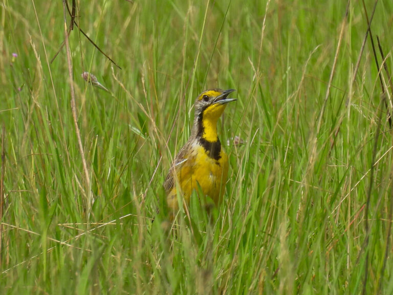
Macronyx fuelleborni
♥
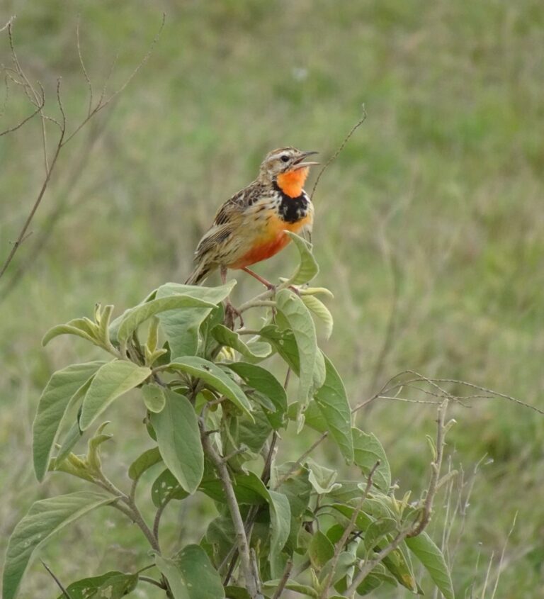
Macronyx ameliae
♥
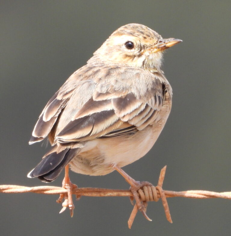
Anthus cinnamomeus
♥
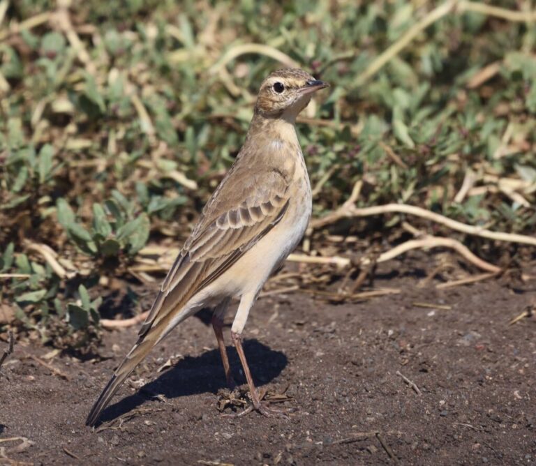
Anthus vaalensis
♥
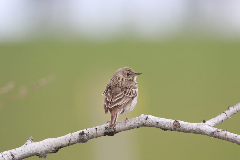
Anthus trivialis
♥
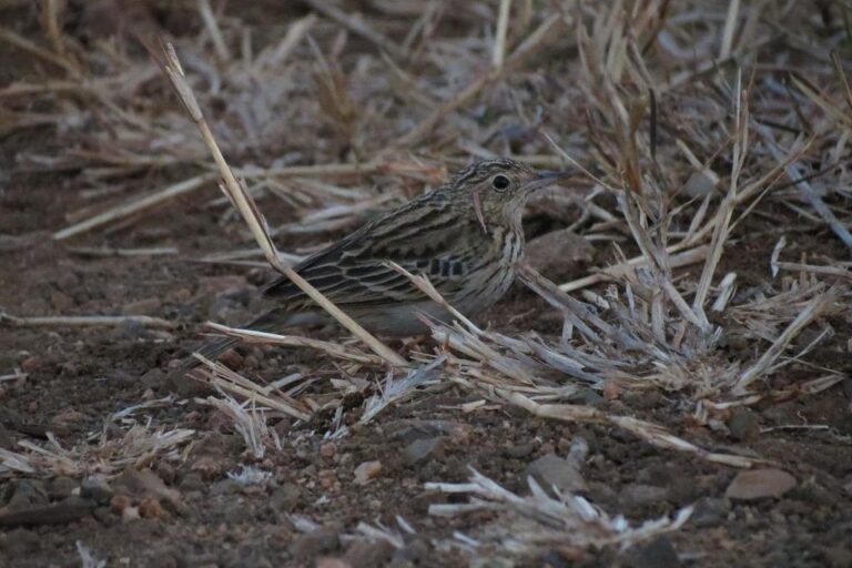
Anthus caffer
♥
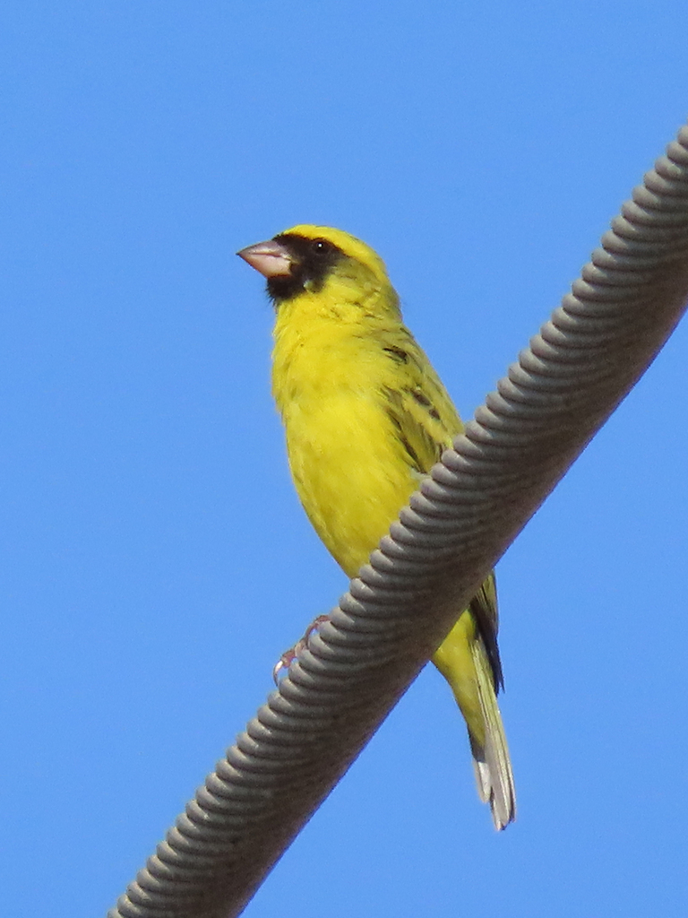
Crithagra capistrata
♥
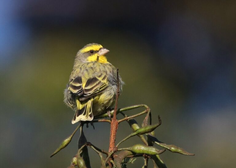
Crithagra mozambica
♥
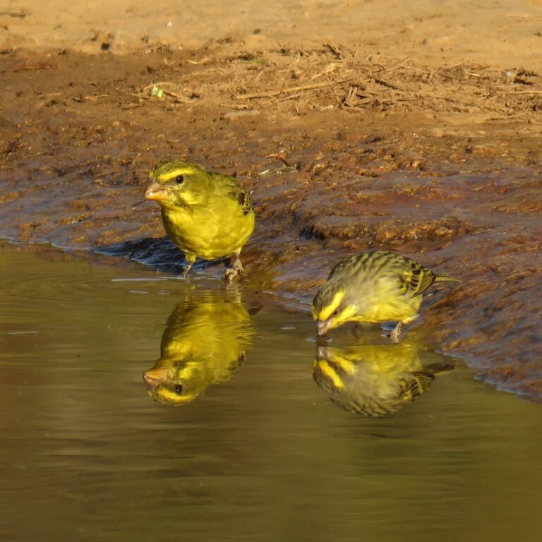
Crithagra sulphurata
♥
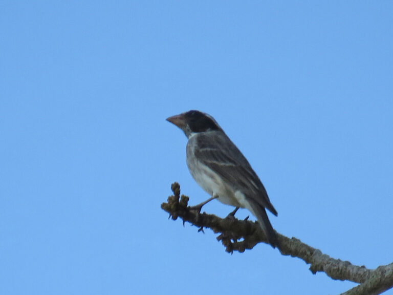
Crithagra mennelli
♥
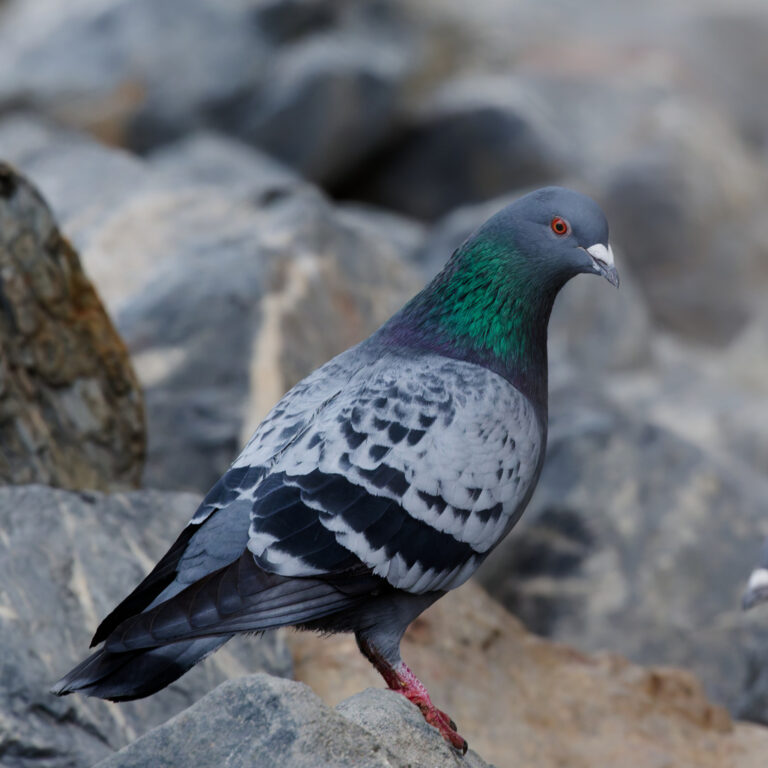
Columba livia
♥
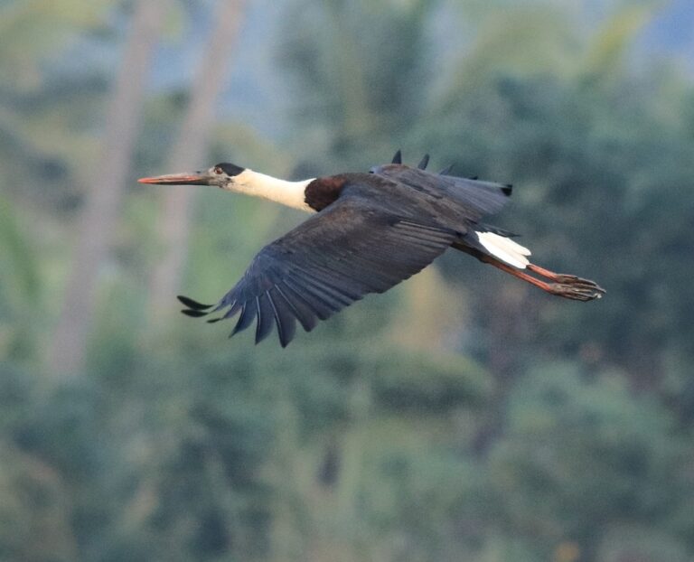
Ciconia episcopus
♥
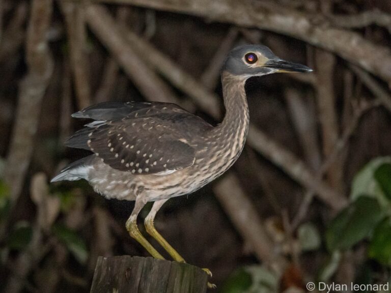
Calherodius leuconotus
♥
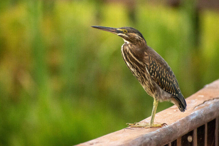
Butorides striata
♥
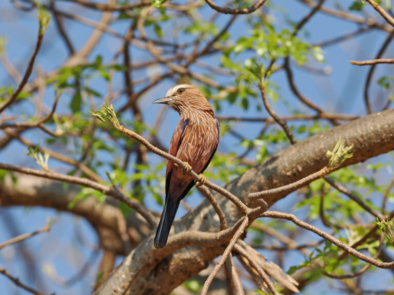
Coracias naevius
♥
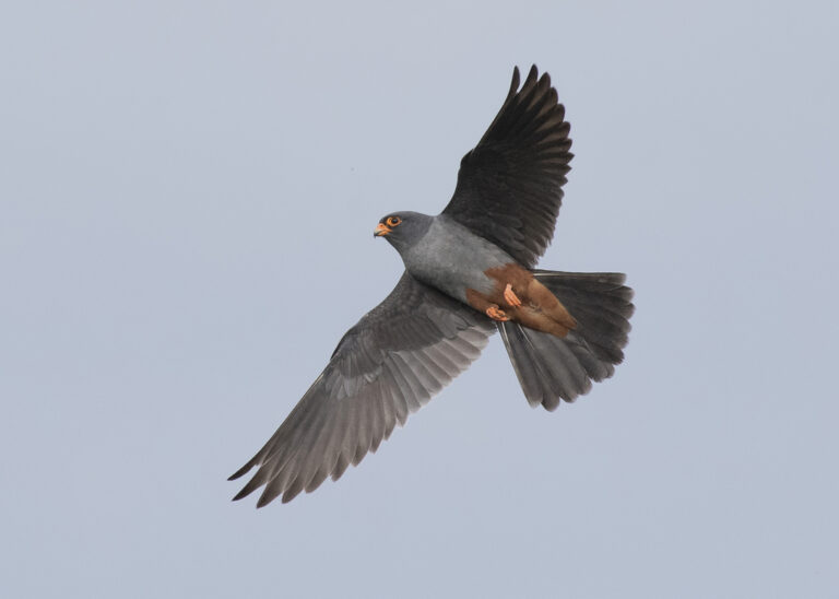
Falco vespertinus
♥
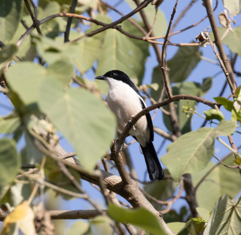
Laniarius aethiopicus
♥
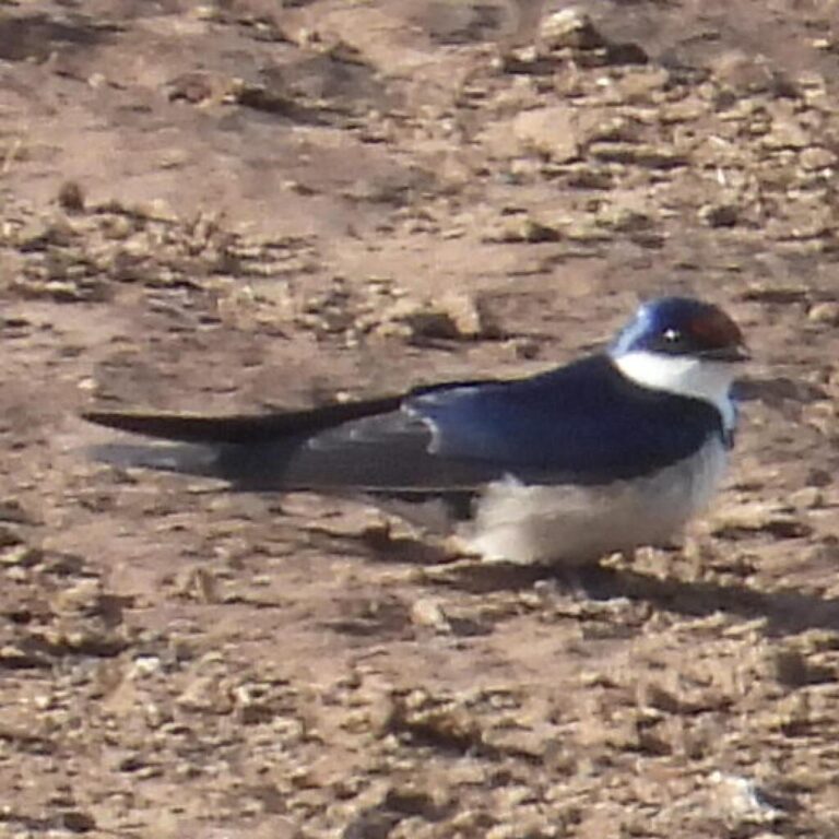
Hirundo albigularis
♥
Zosterops senegalensis
♥
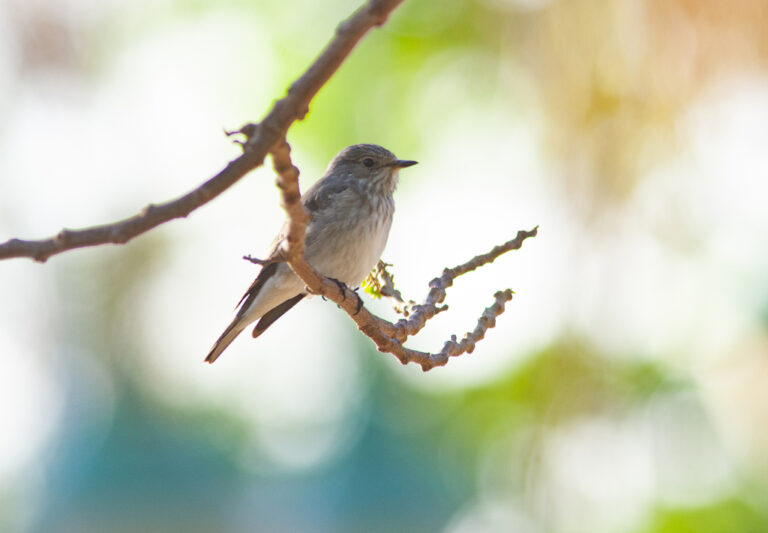
Muscicapa striata
♥
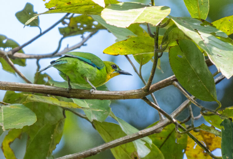
Chloropsis palawanensis
♥
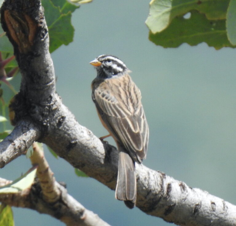
Emberiza tahapisi
♥
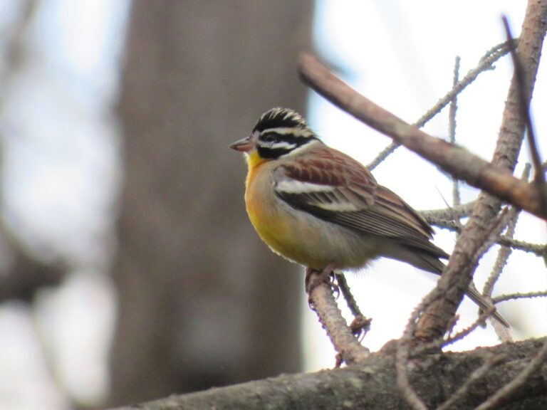
Emberiza flaviventris
♥
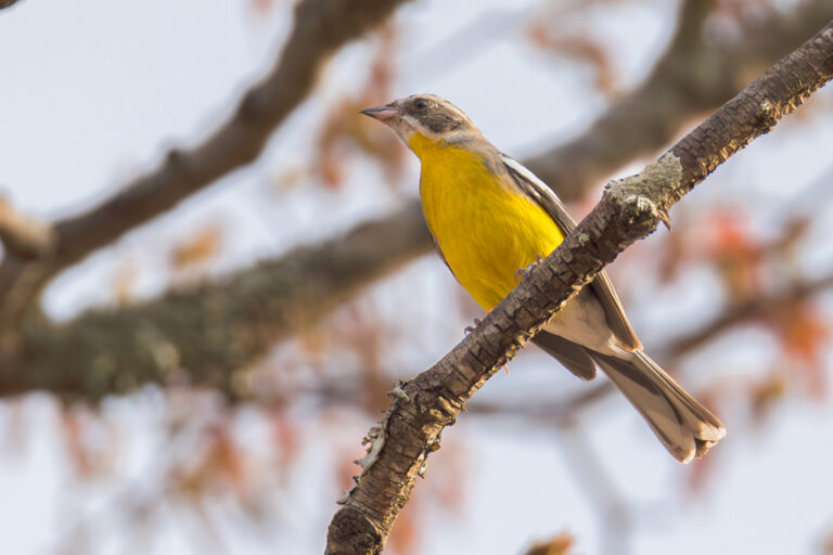
Emberiza cabanisi
♥
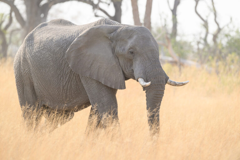
Loxodonta africana
♥
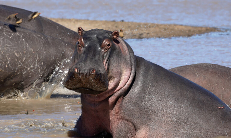
Hippopotamus amphibius
♥
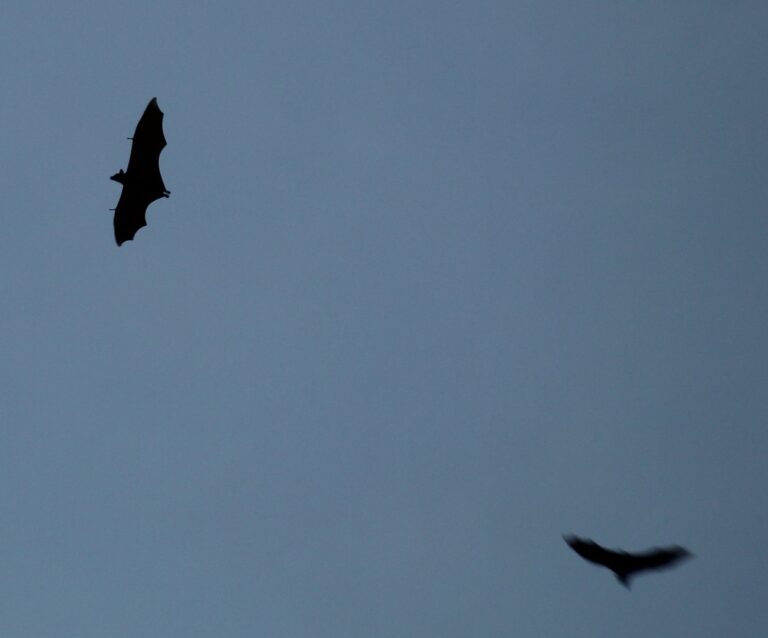
Eidolon helvum
♥
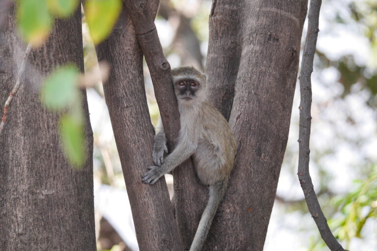
Chlorocebus cynosuros
♥
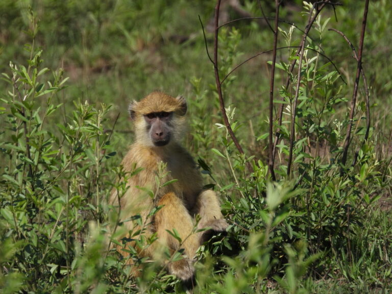
Papio kindae
♥
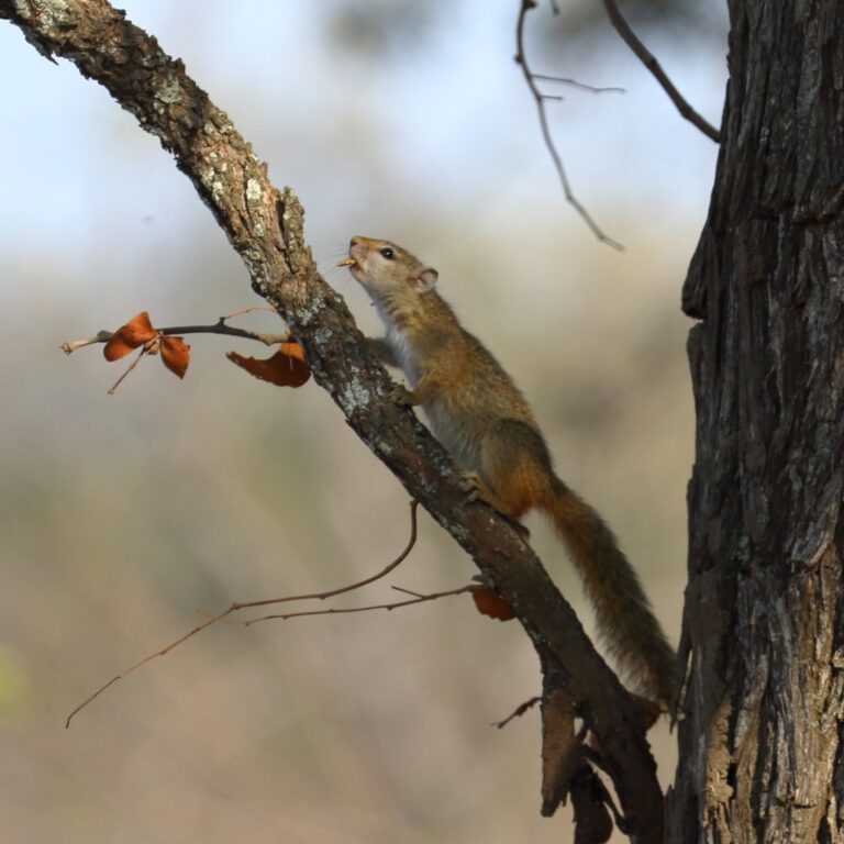
Paraxerus cepapi
♥
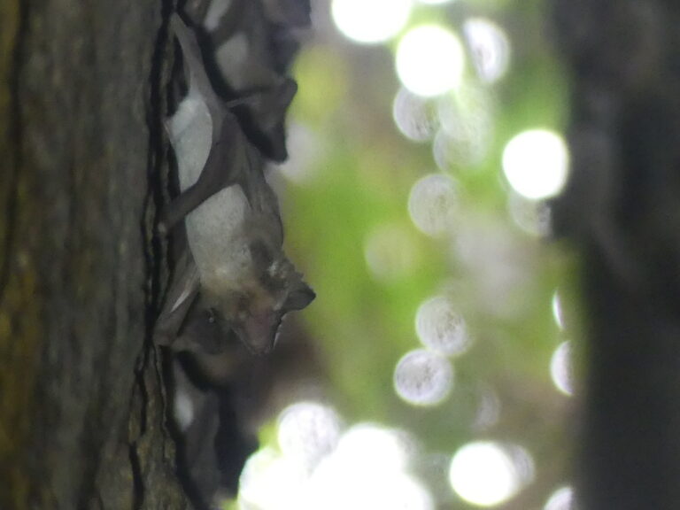
Taphozous perforatus
♥
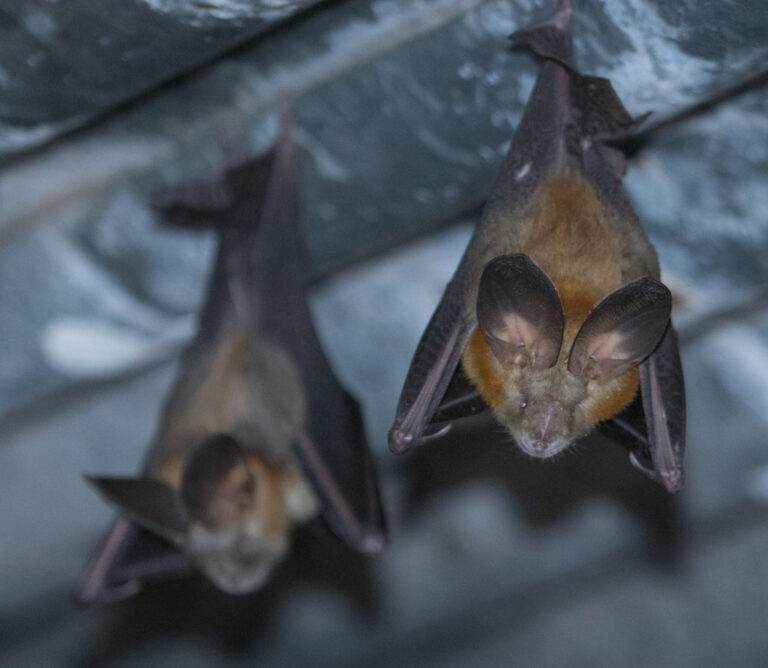
Nycteris thebaica
♥
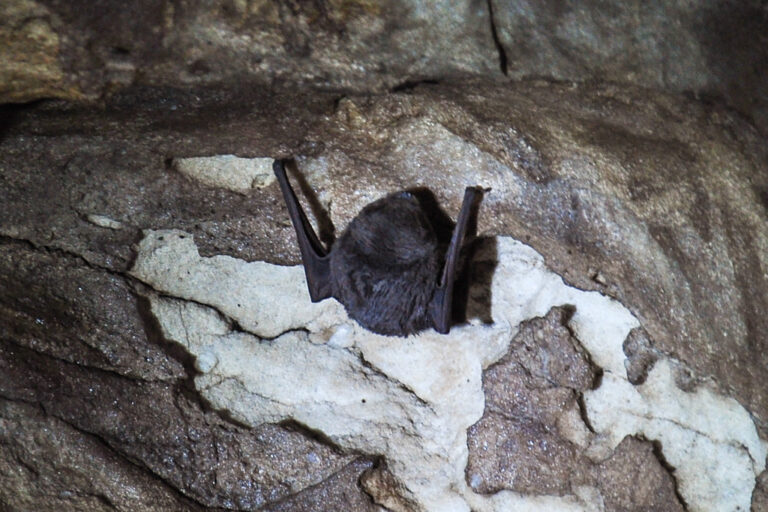
Miniopterus natalensis
♥
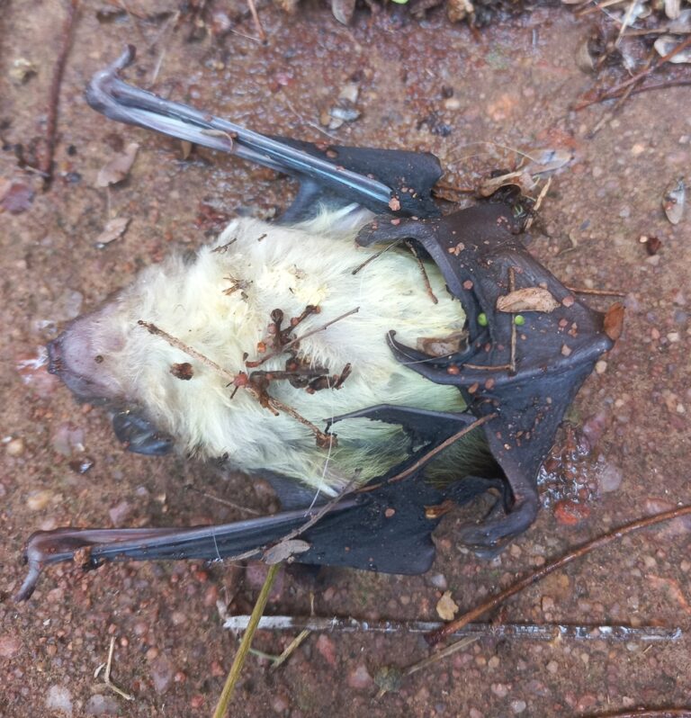
Scotophilus dinganii
♥
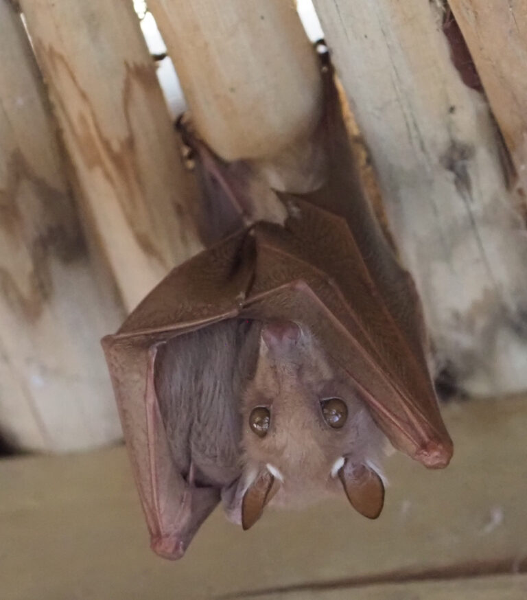
Epomophorus crypturus
♥
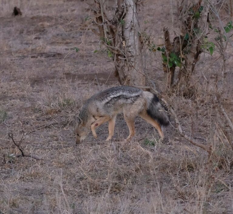
Lupulella adusta
♥
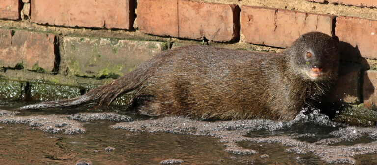
Atilax paludinosus
♥
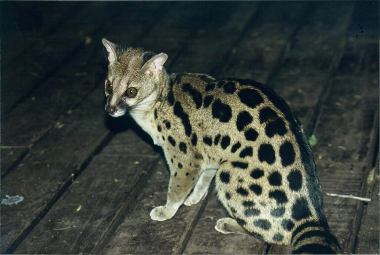
Genetta fieldiana
♥
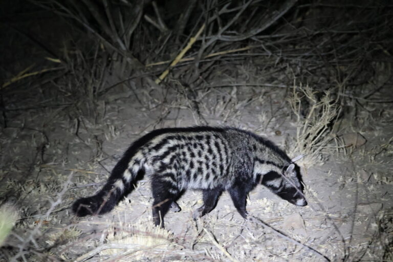
Civettictis civetta
♥
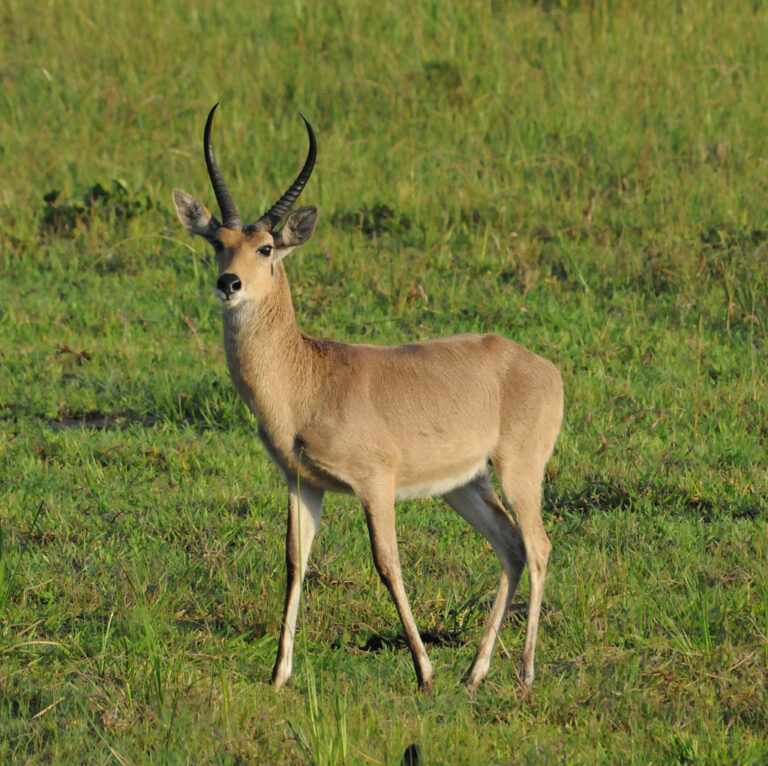
Redunca arundinum
♥
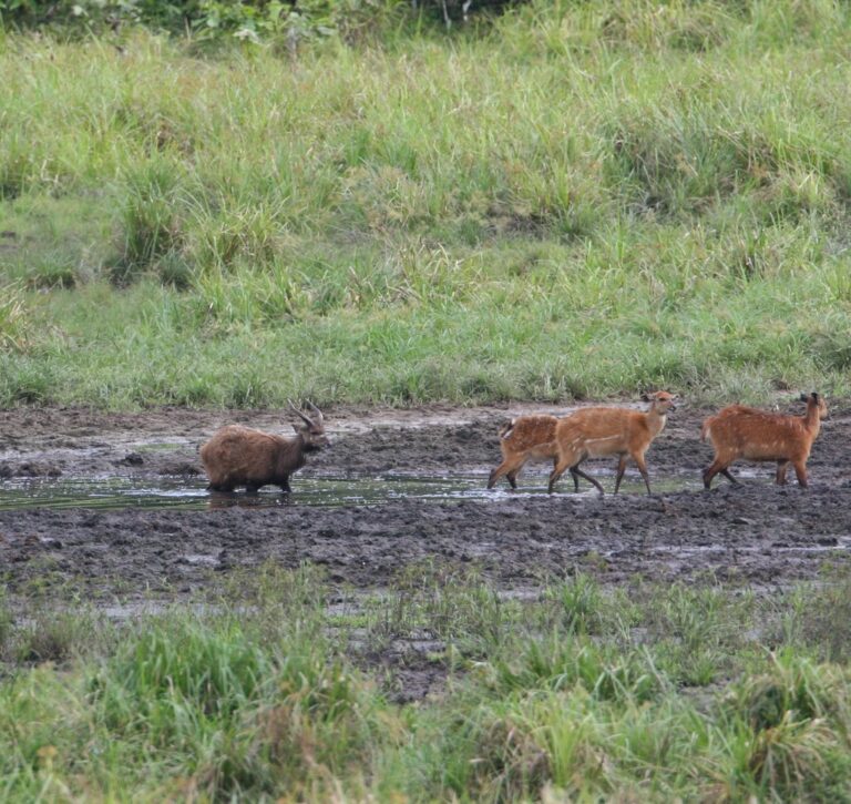
Tragelaphus spekii
♥
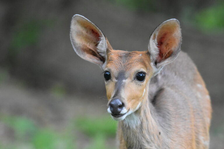
Tragelaphus sylvaticus
♥
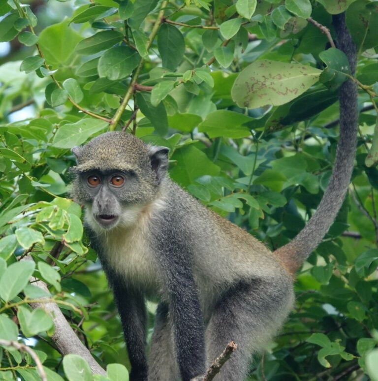
Cercopithecus mitis
♥
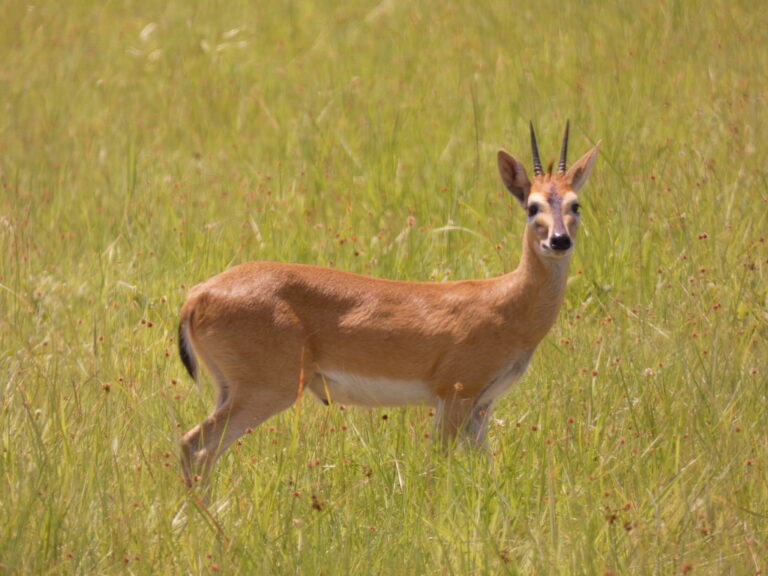
Sylvicapra grimmia
♥
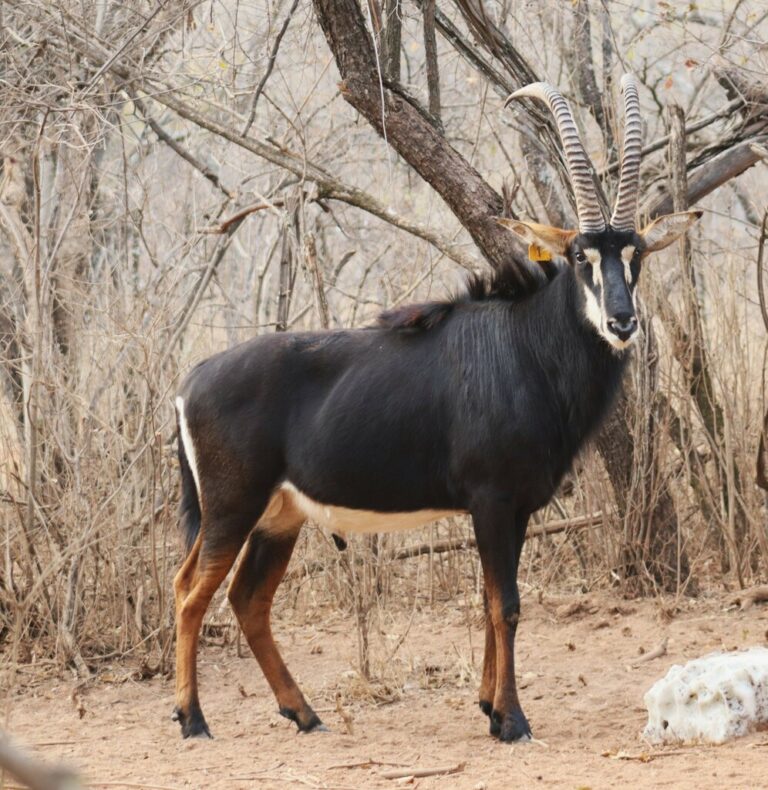
Hippotragus niger
♥
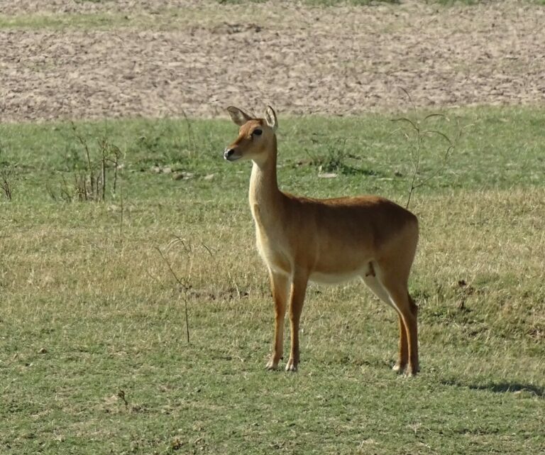
Kobus vardonii
♥
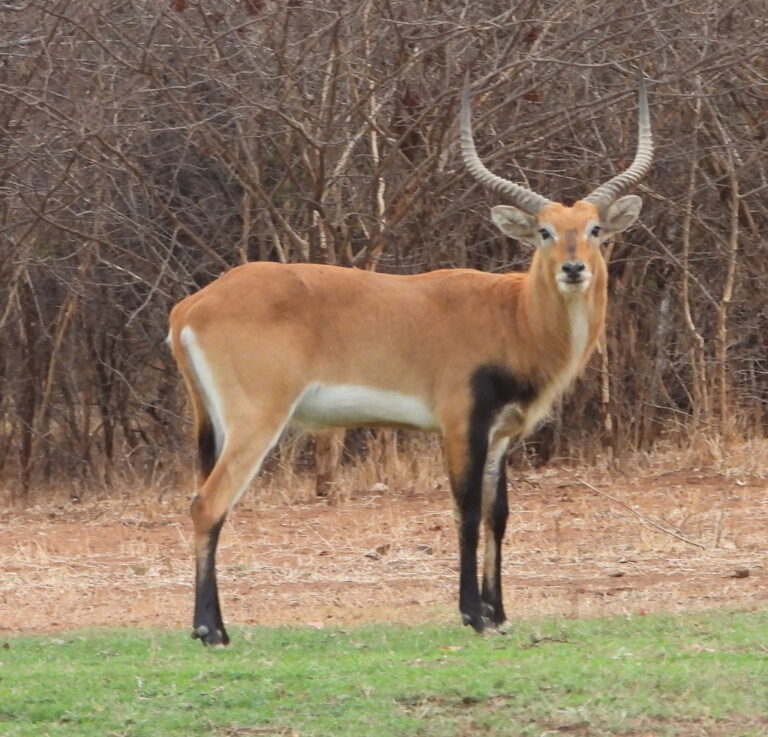
Kobus leche
♥