Average annual temperature
23.1 °C
Average of the twelve monthly means
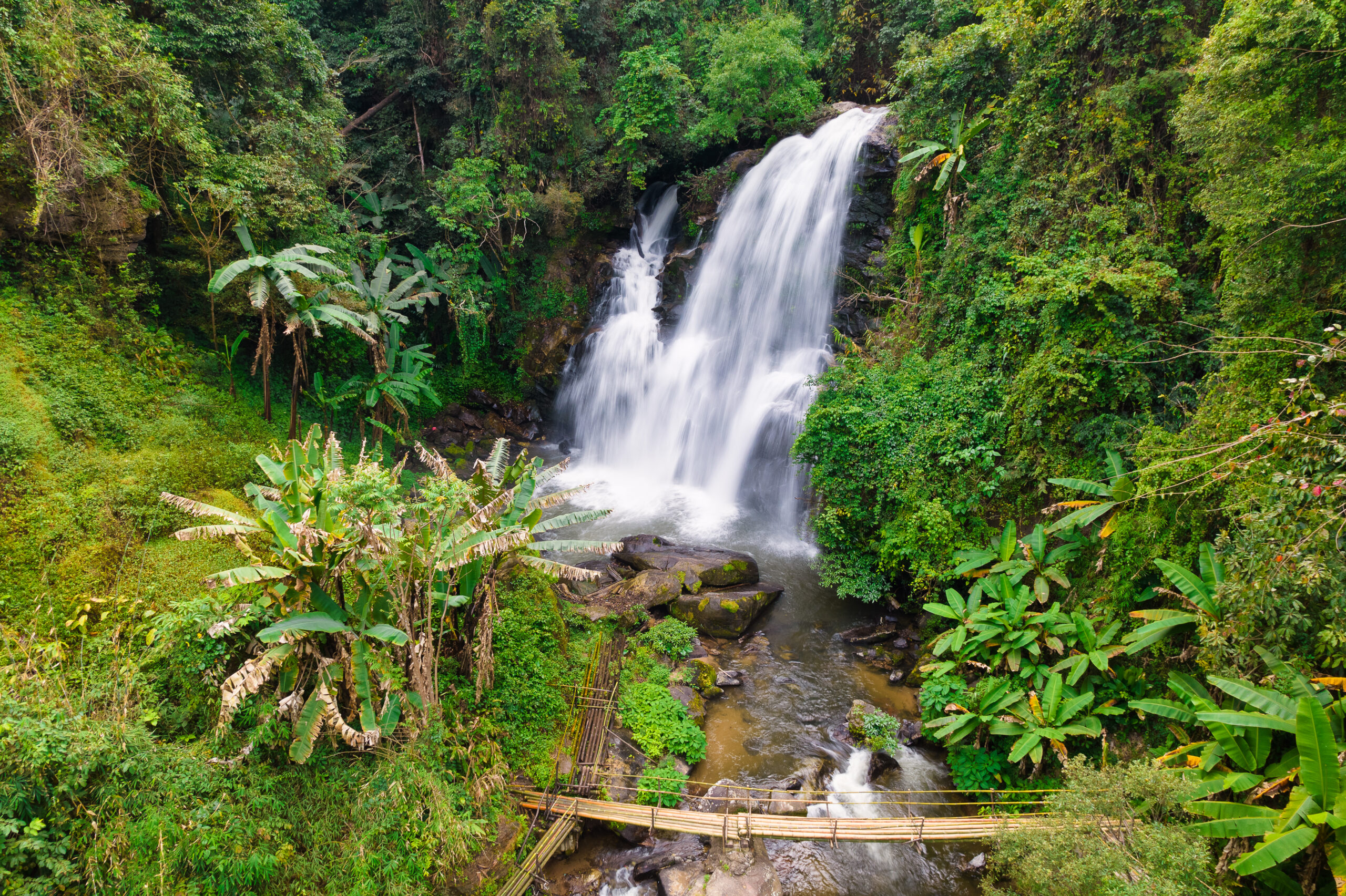
Doi Inthanon National Park
Photo © Stéphane Bidouze
Photo © Stéphane Bidouze — CC BY-SA 4.0 — Source: Wikimedia Commons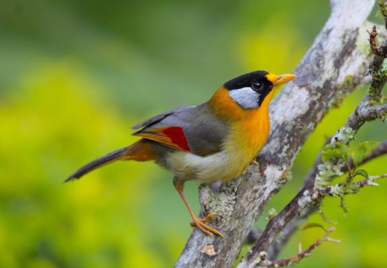
Birding TourEasy
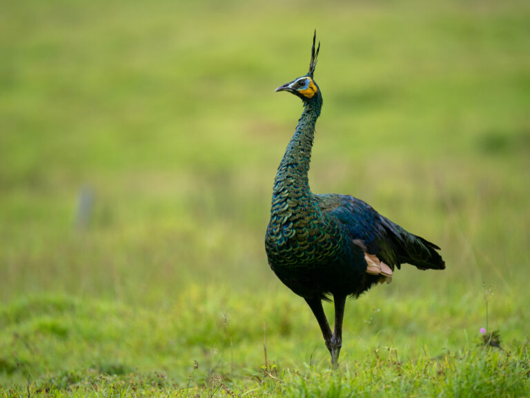
Pavo muticus
♥
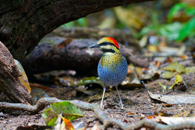
Hydrornis cyaneus
♥
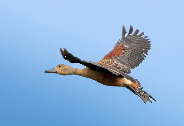
Dendrocygna javanica
♥
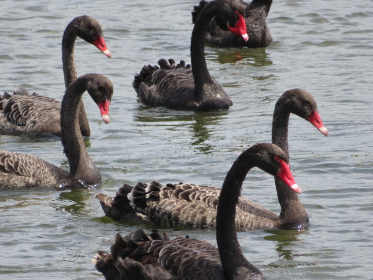
Cygnus atratus
♥
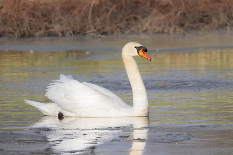
Cygnus olor
♥
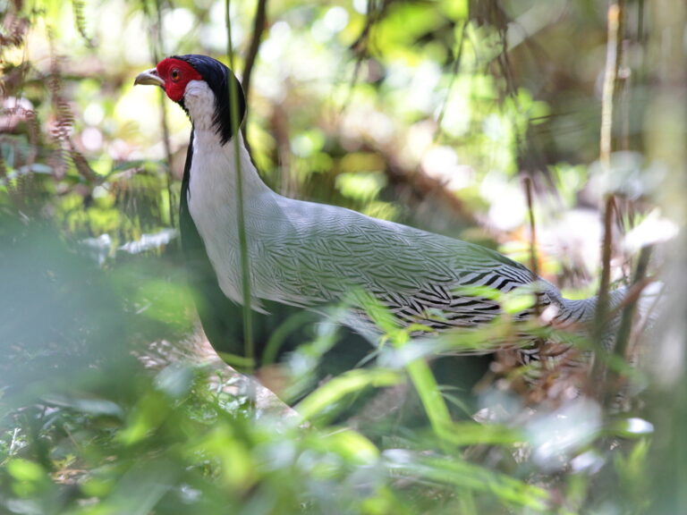
Lophura nycthemera
♥
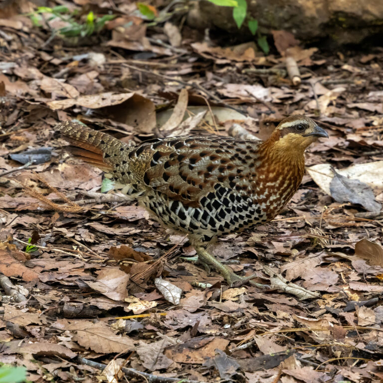
Bambusicola fytchii
♥
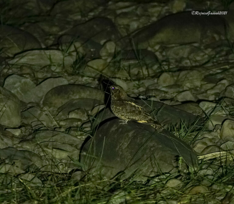
Caprimulgus jotaka
♥
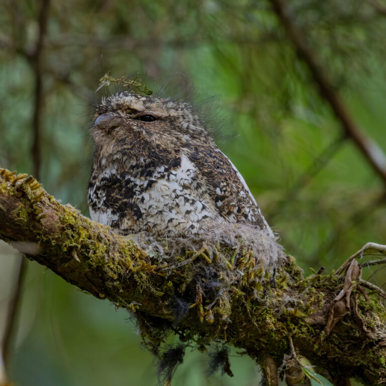
Batrachostomus hodgsoni
♥
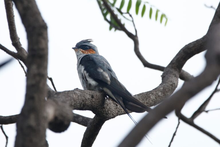
Hemiprocne coronata
♥
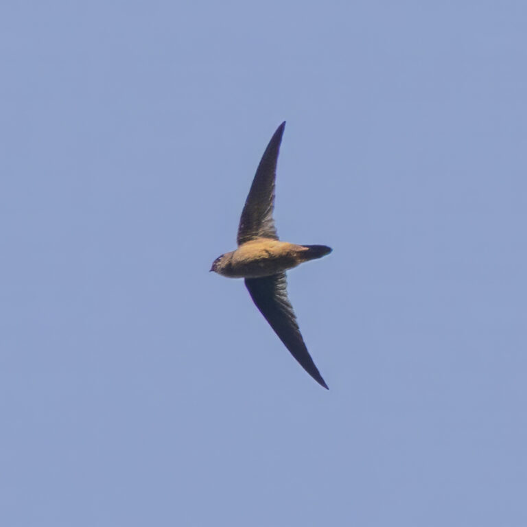
Aerodramus brevirostris
♥
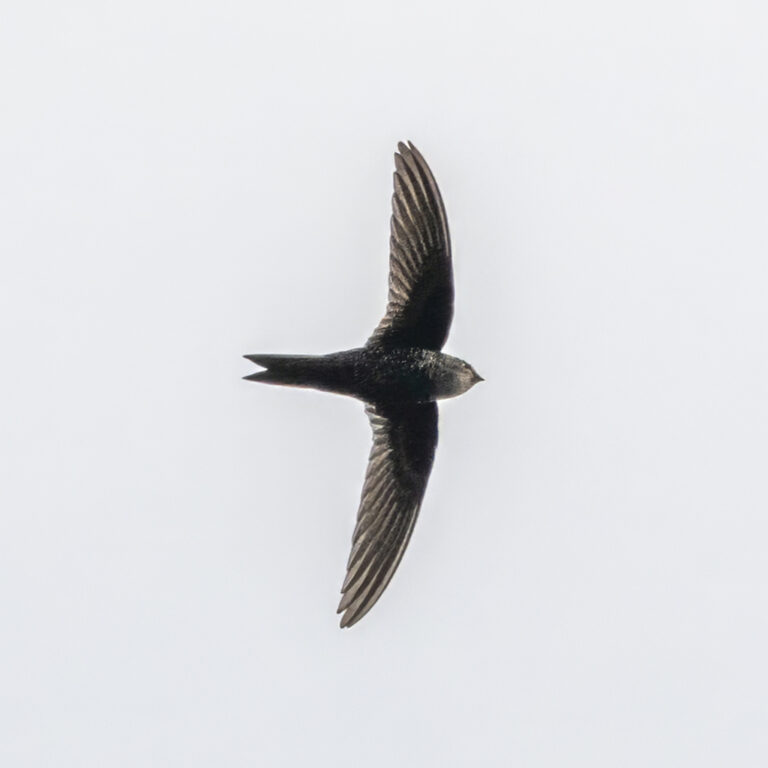
Apus cooki
♥
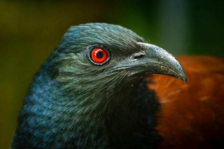
Centropus sinensis
♥
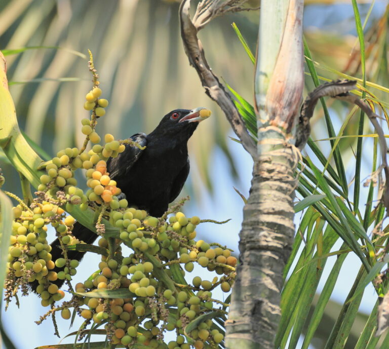
Eudynamys scolopaceus
♥
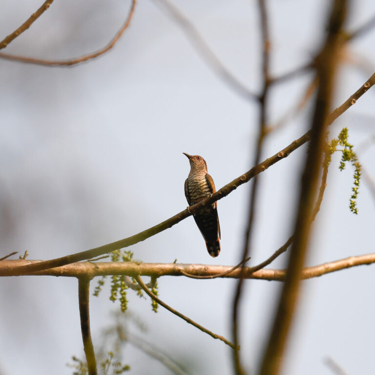
Chrysococcyx maculatus
♥
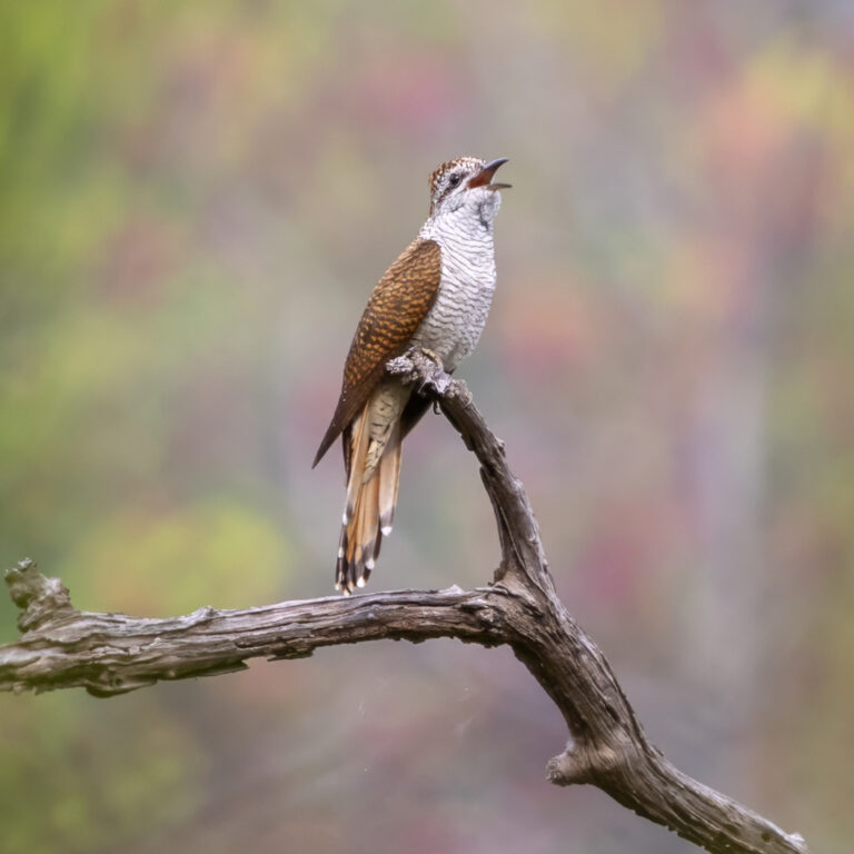
Cacomantis sonneratii
♥
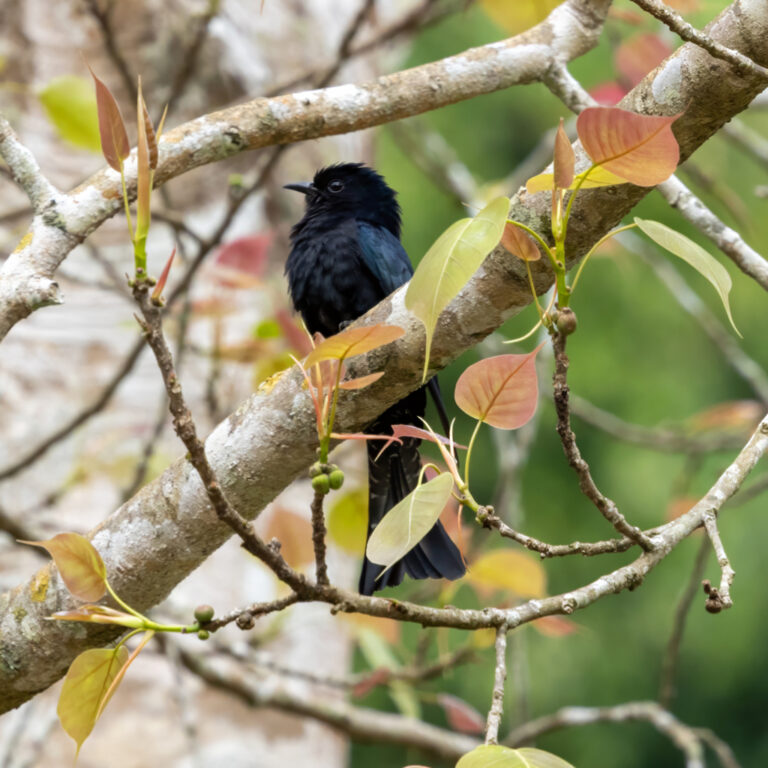
Surniculus lugubris
♥
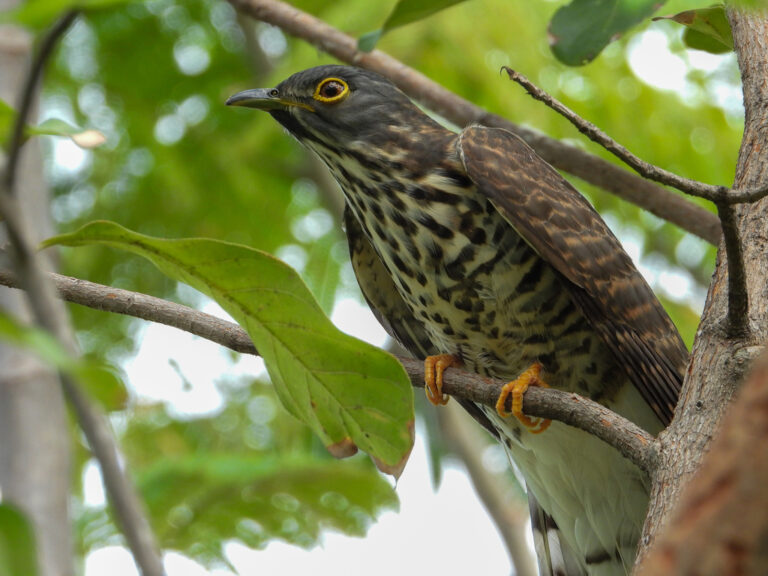
Hierococcyx sparverioides
♥
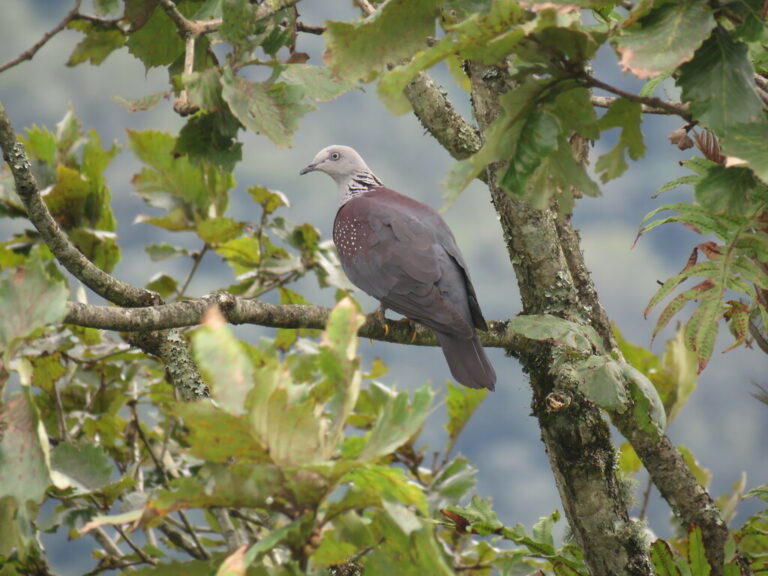
Columba hodgsonii
♥
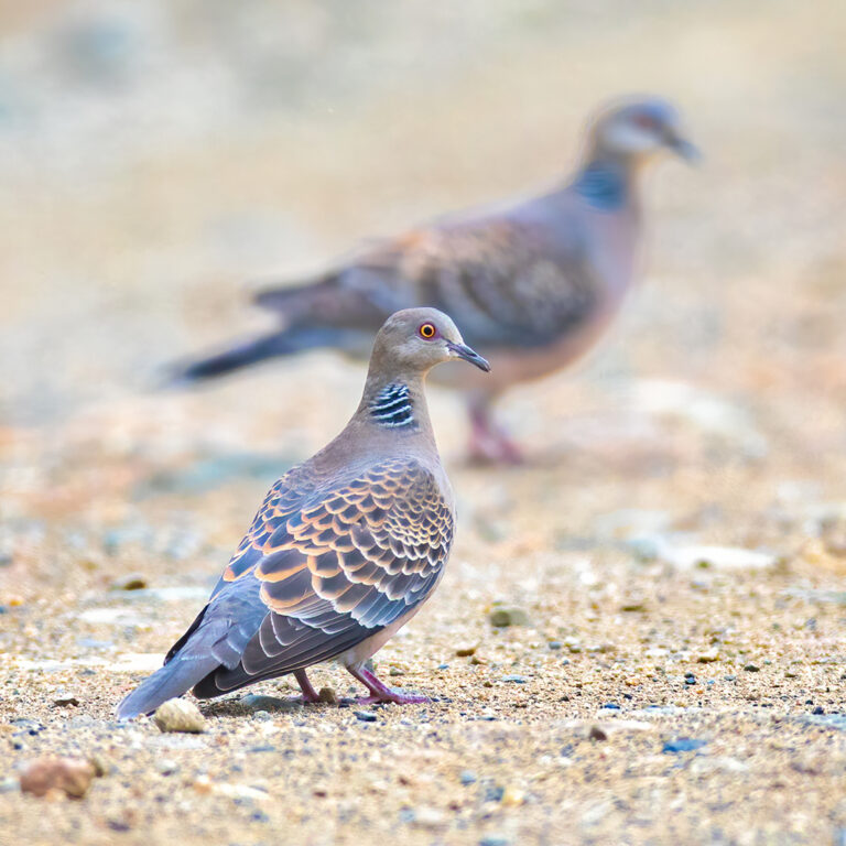
Streptopelia orientalis
♥
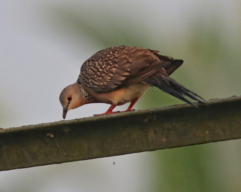
Spilopelia chinensis
♥
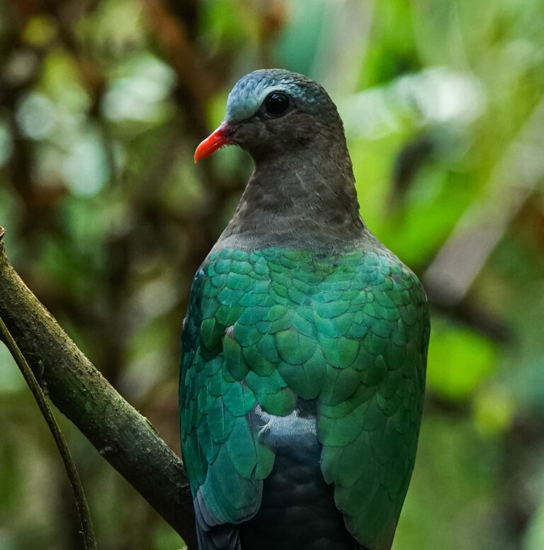
Chalcophaps indica
♥
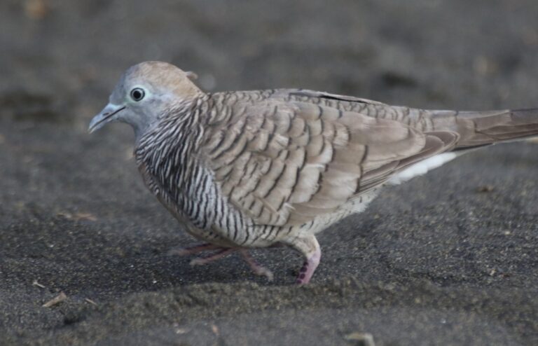
Geopelia striata
♥
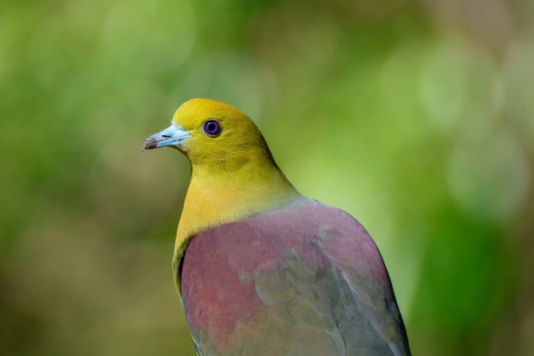
Treron sphenurus
♥
Zapornia fusca
♥
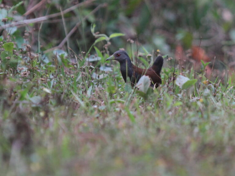
Zapornia bicolor
♥
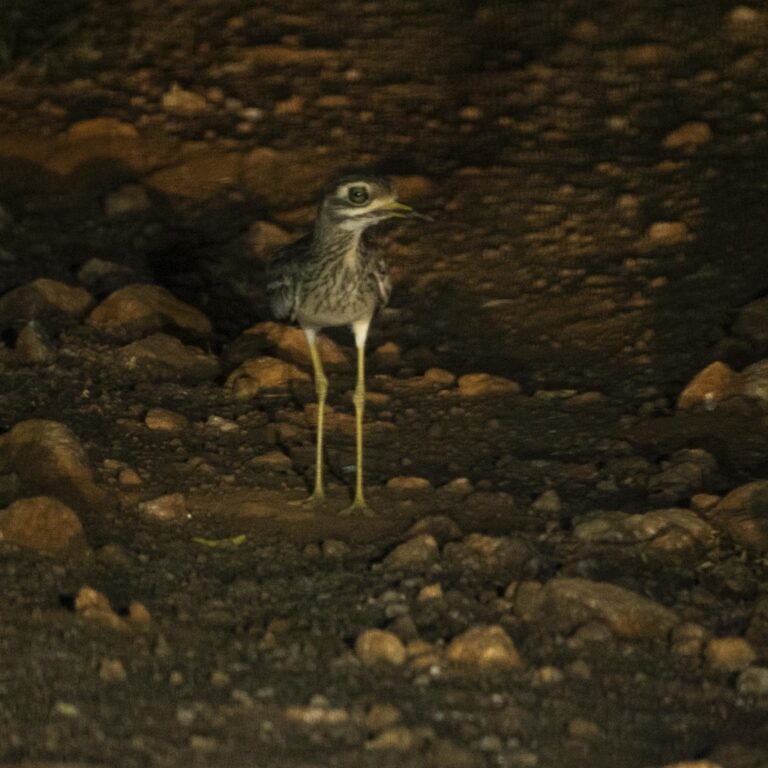
Burhinus indicus
♥
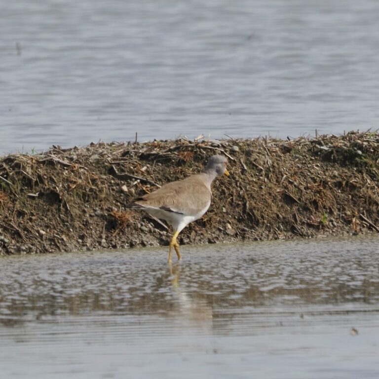
Vanellus cinereus
♥
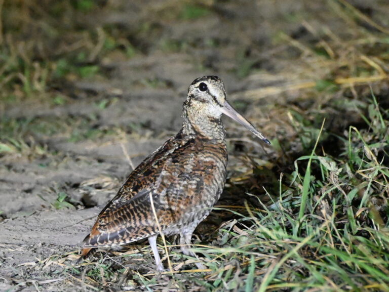
Scolopax rusticola
♥
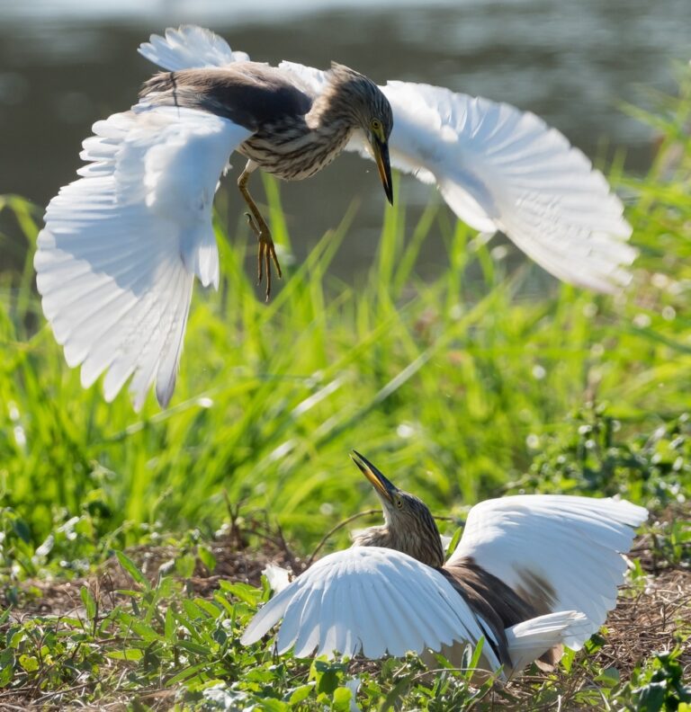
Ardeola bacchus
♥
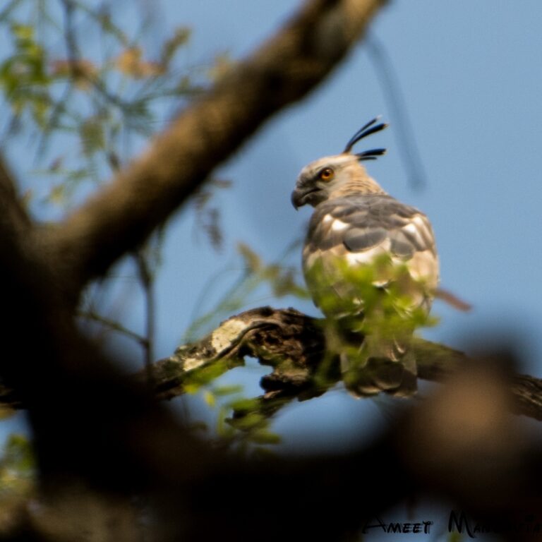
Aviceda jerdoni
♥
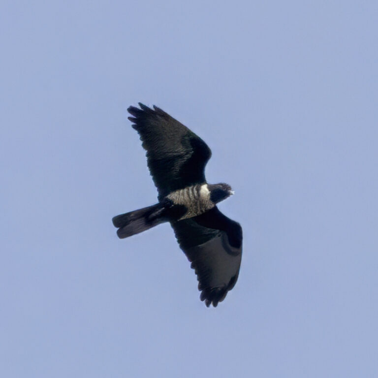
Aviceda leuphotes
♥
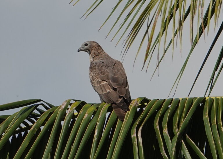
Pernis ptilorhynchus
♥
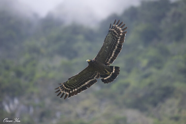
Spilornis cheela
♥
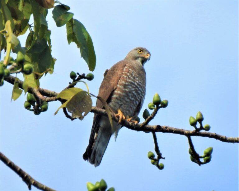
Butastur indicus
♥
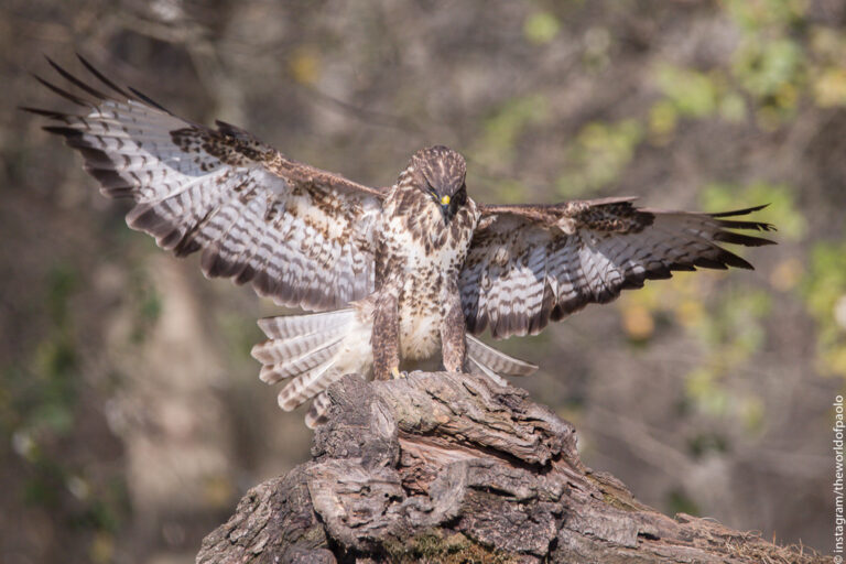
Buteo buteo
♥
Buteo japonicus
♥
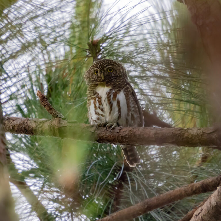
Taenioptynx brodiei
♥
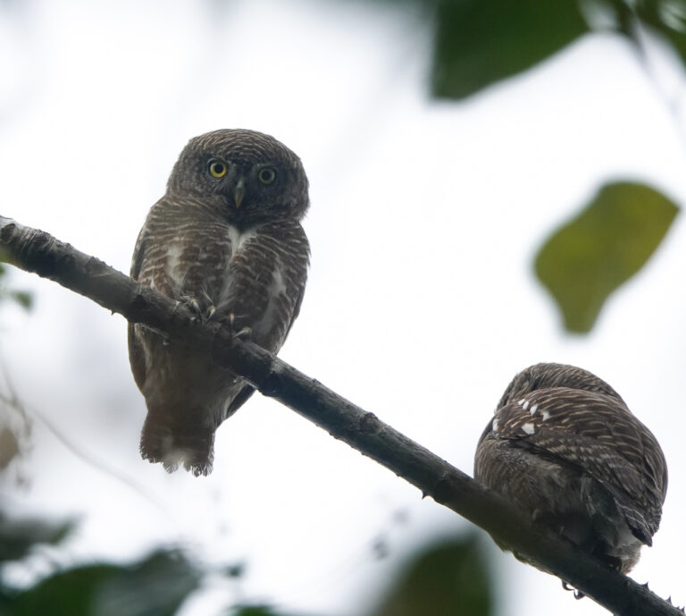
Glaucidium cuculoides
♥
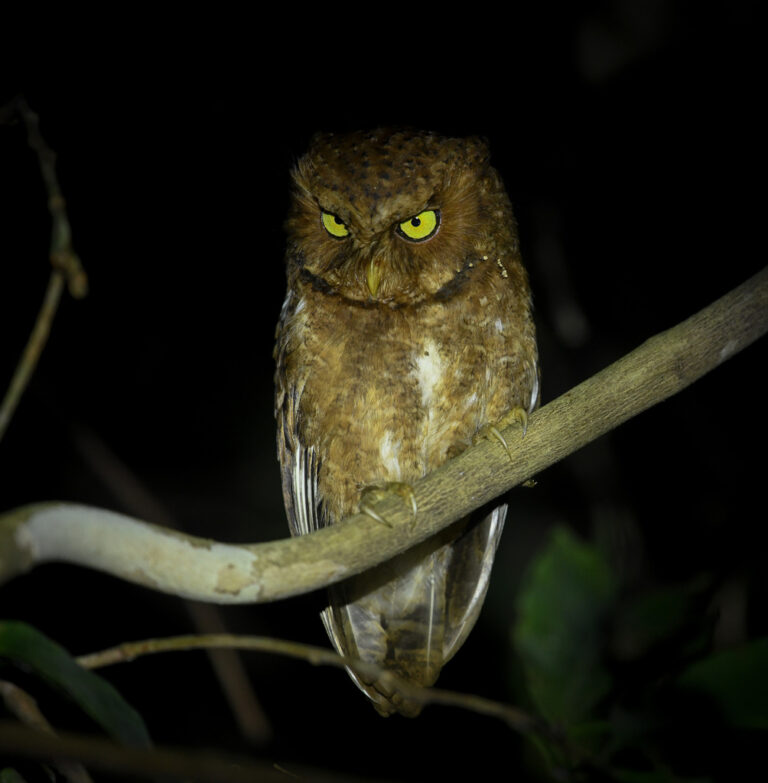
Otus spilocephalus
♥
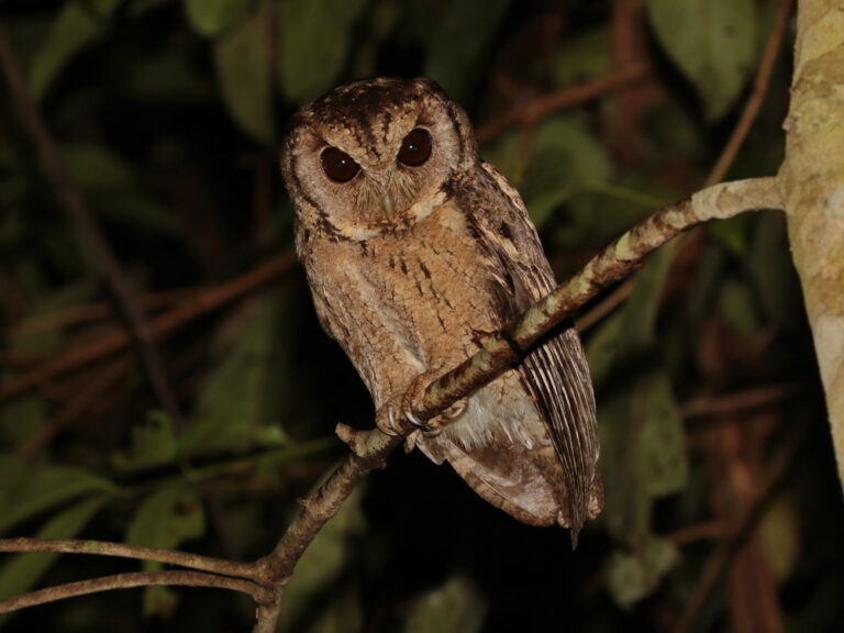
Otus lettia
♥
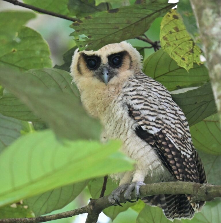
Strix leptogrammica
♥
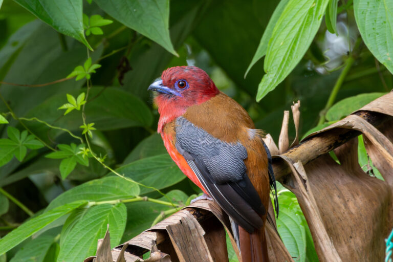
Harpactes erythrocephalus
♥
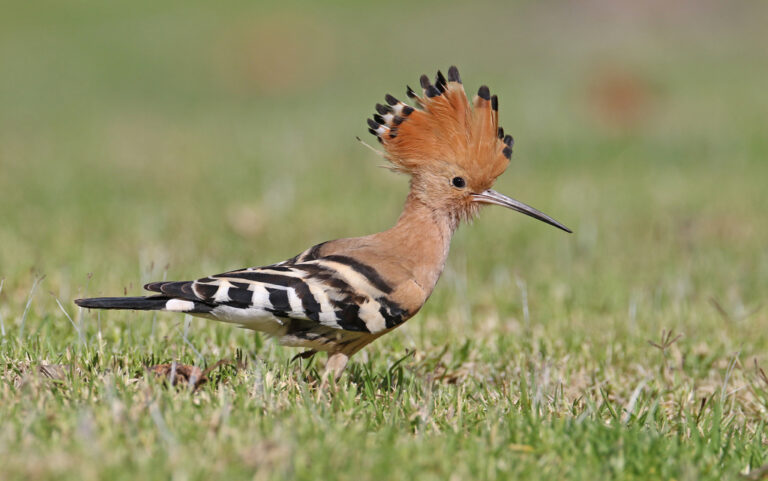
Upupa epops
♥
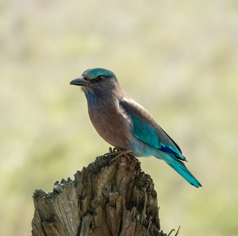
Coracias affinis
♥
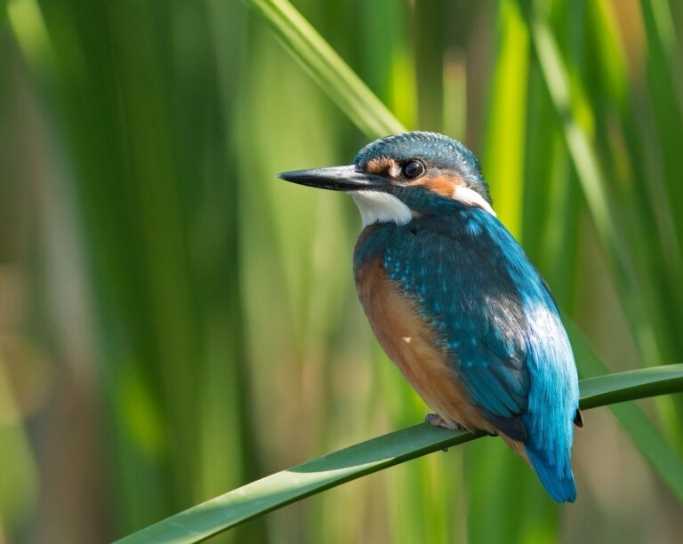
Alcedo atthis
♥
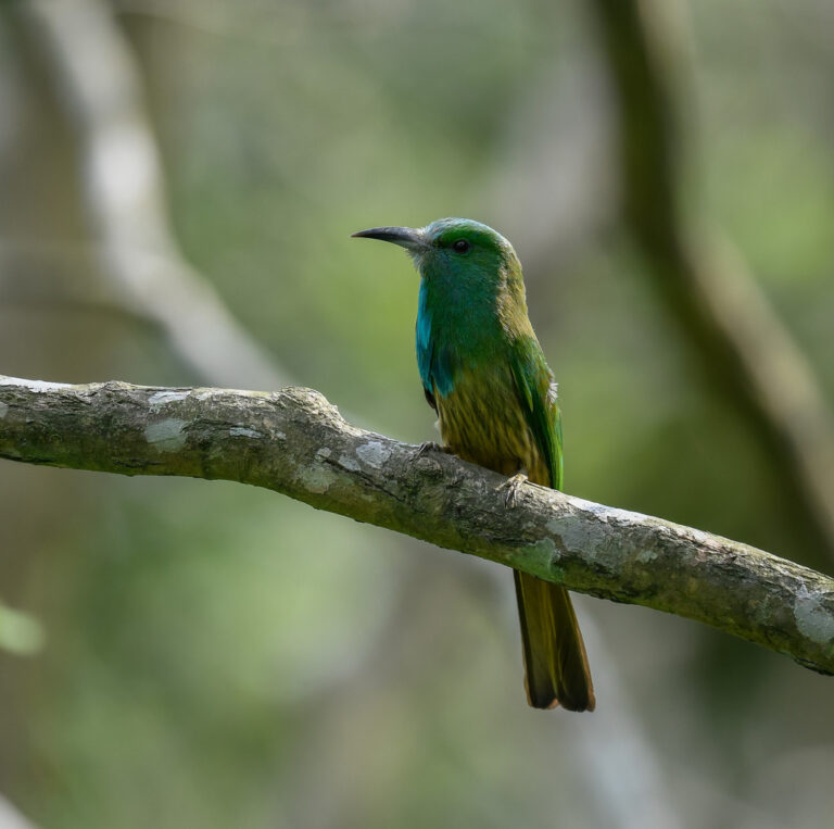
Nyctyornis athertoni
♥
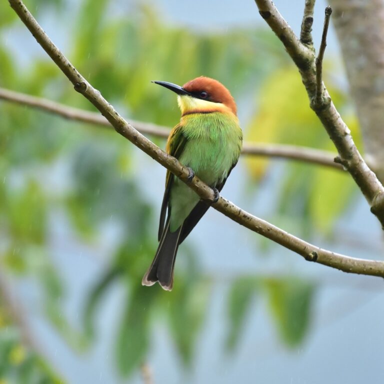
Merops leschenaulti
♥
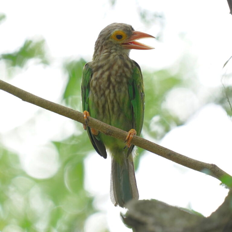
Psilopogon lineatus
♥
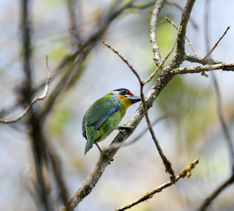
Psilopogon franklinii
♥
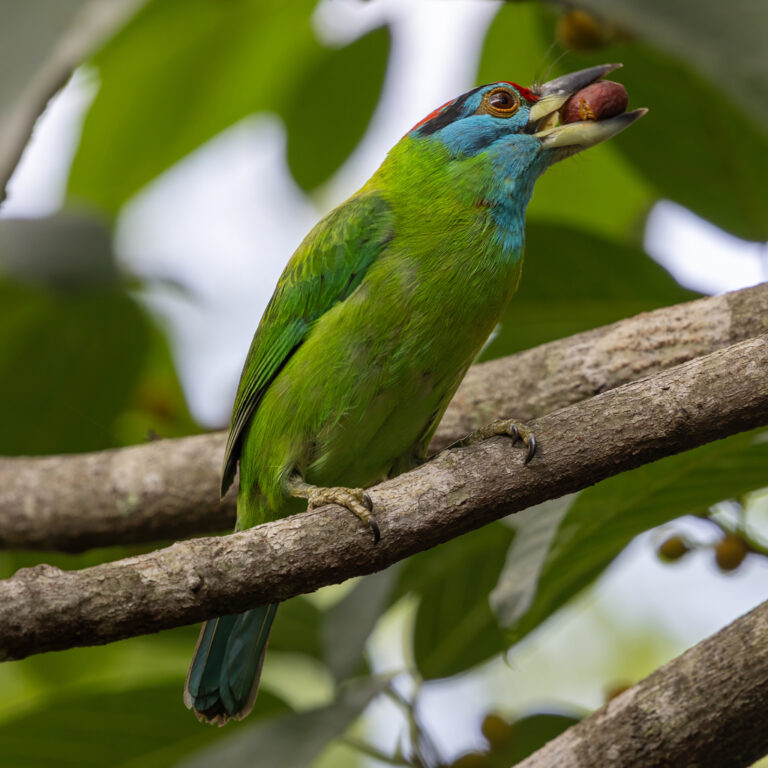
Psilopogon asiaticus
♥
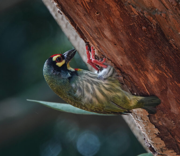
Psilopogon haemacephalus
♥
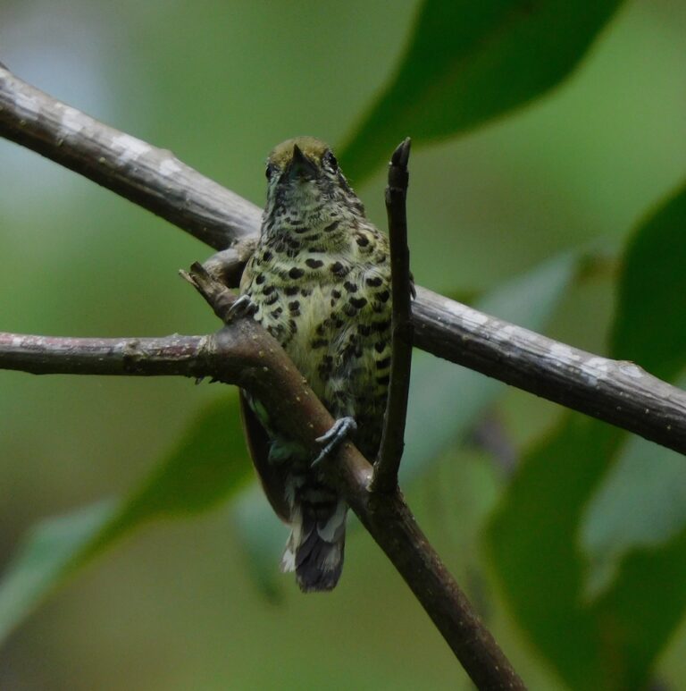
Picumnus innominatus
♥
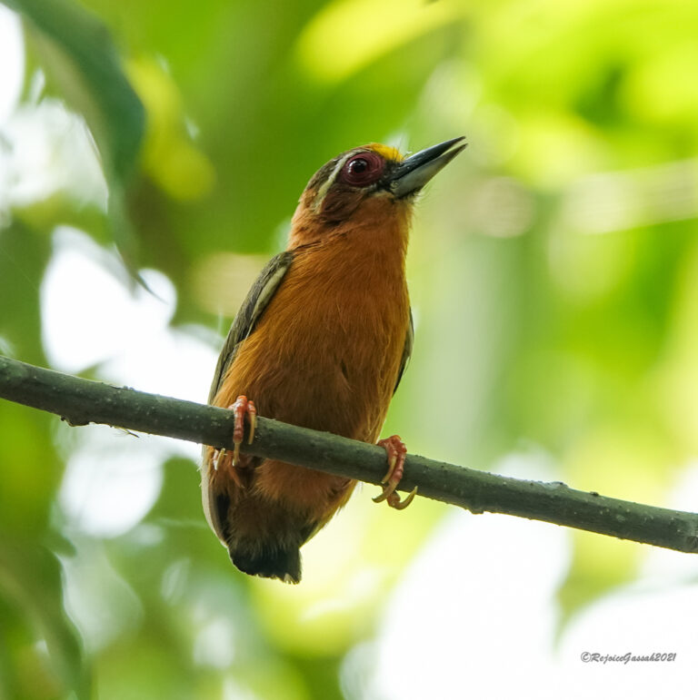
Sasia ochracea
♥
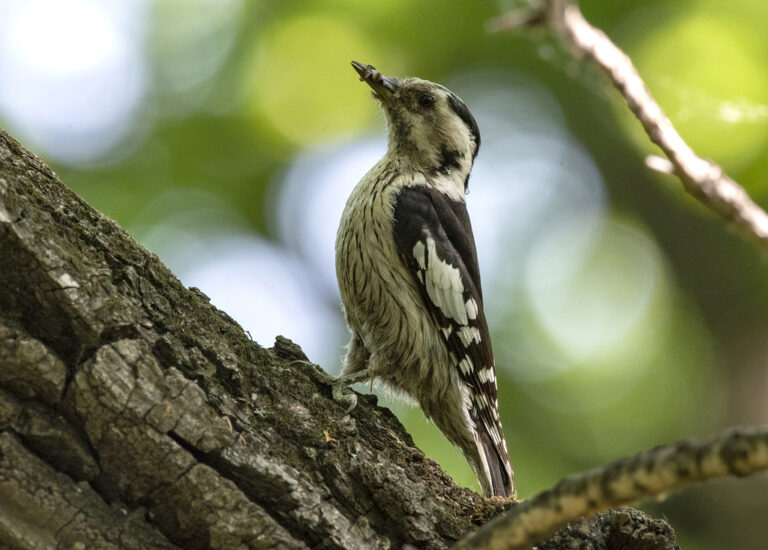
Yungipicus canicapillus
♥
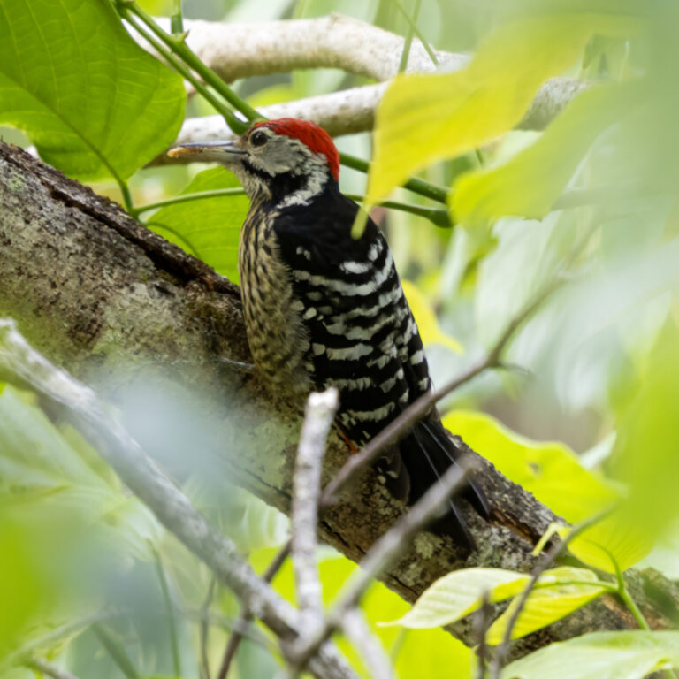
Dendrocopos atratus
♥
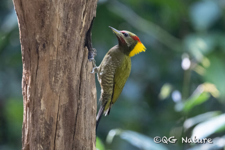
Picus chlorolophus
♥
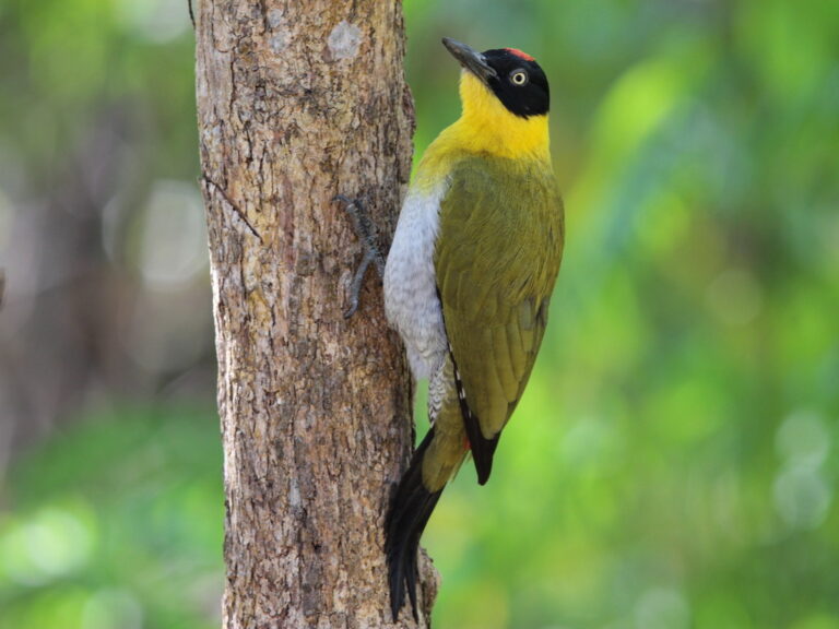
Picus erythropygius
♥
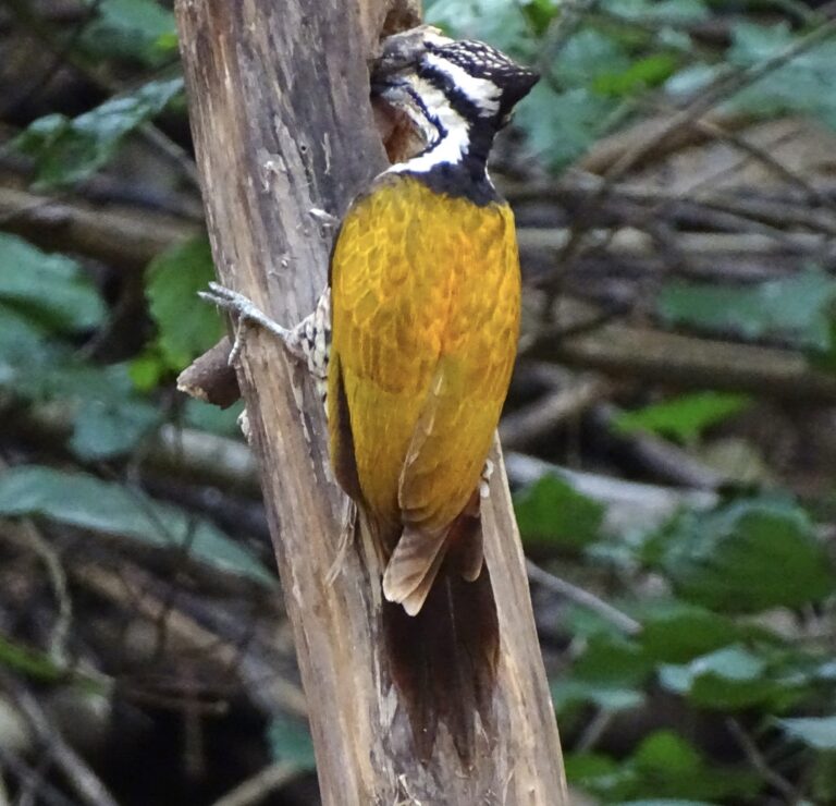
Dinopium javanense
♥
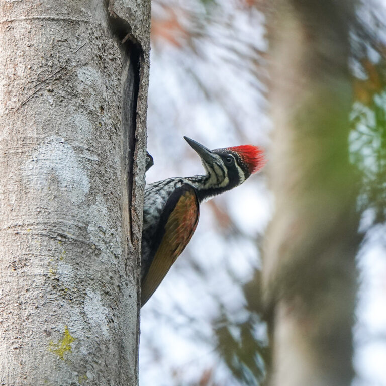
Chrysocolaptes guttacristatus
♥
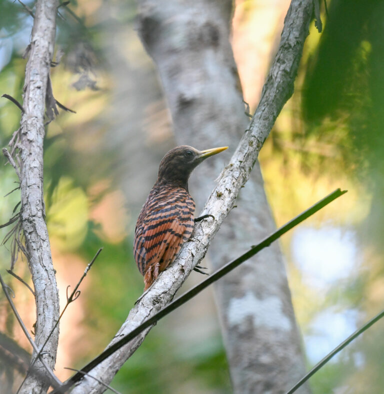
Blythipicus pyrrhotis
♥
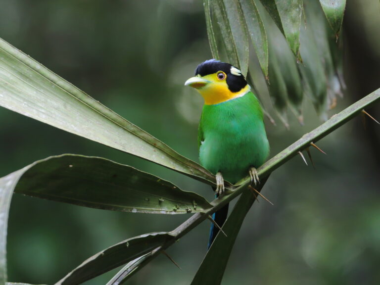
Psarisomus dalhousiae
♥
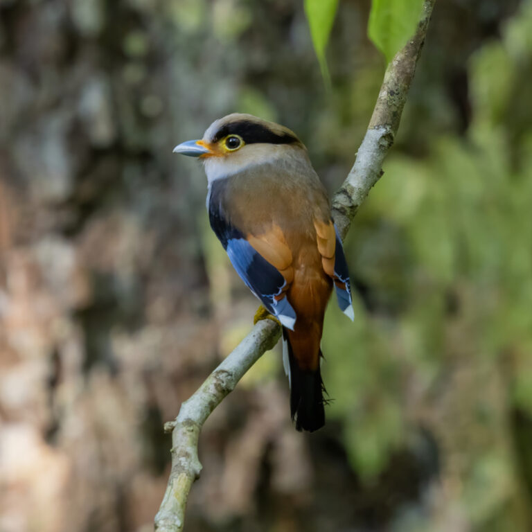
Serilophus lunatus
♥
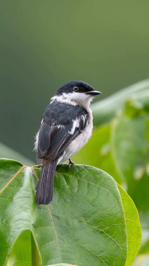
Hemipus picatus
♥
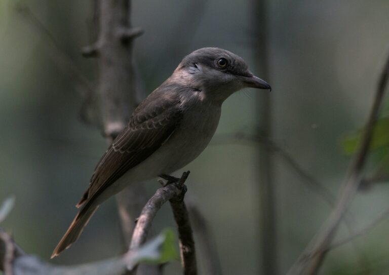
Tephrodornis virgatus
♥
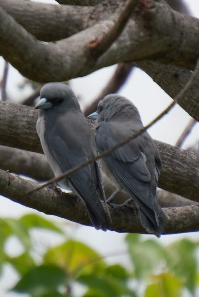
Artamus fuscus
♥
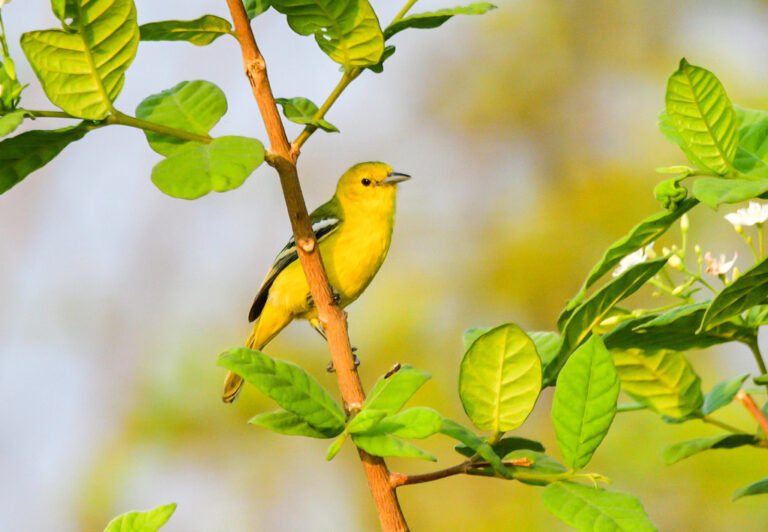
Aegithina tiphia
♥
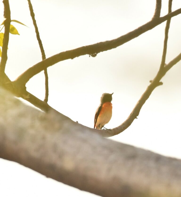
Pericrocotus cinnamomeus
♥
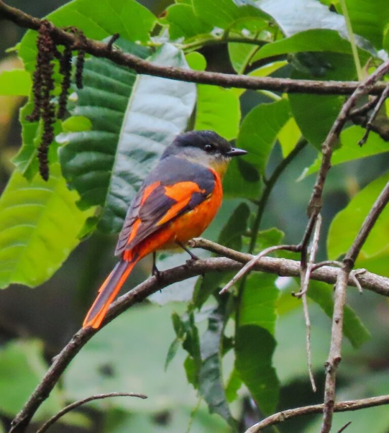
Pericrocotus solaris
♥
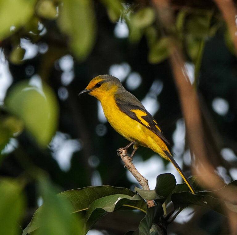
Pericrocotus brevirostris
♥
Pericrocotus ethologus
♥
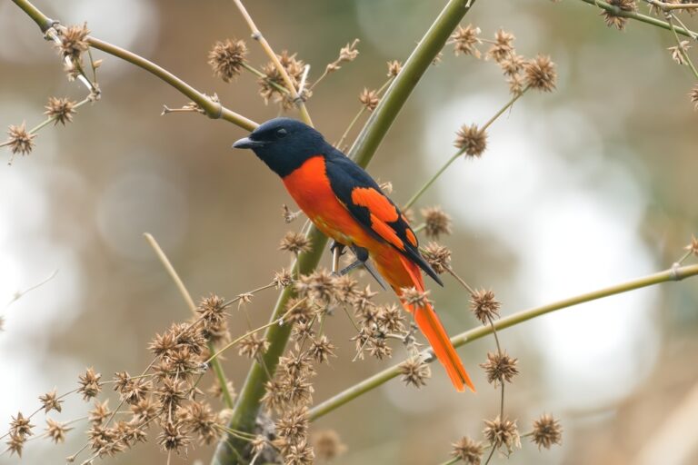
Pericrocotus speciosus
♥
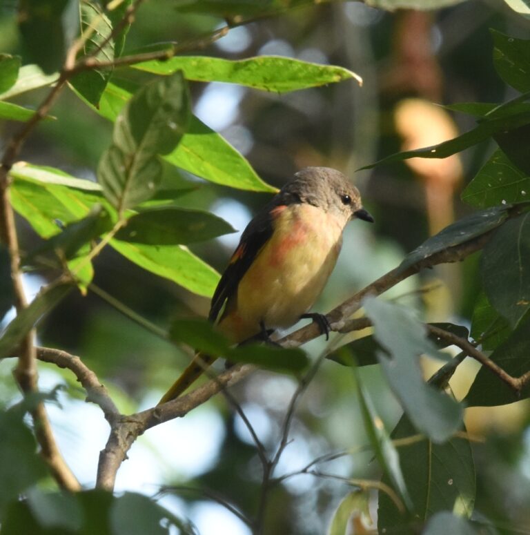
Pericrocotus roseus
♥
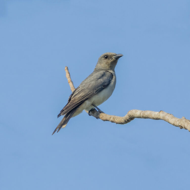
Coracina javensis
♥
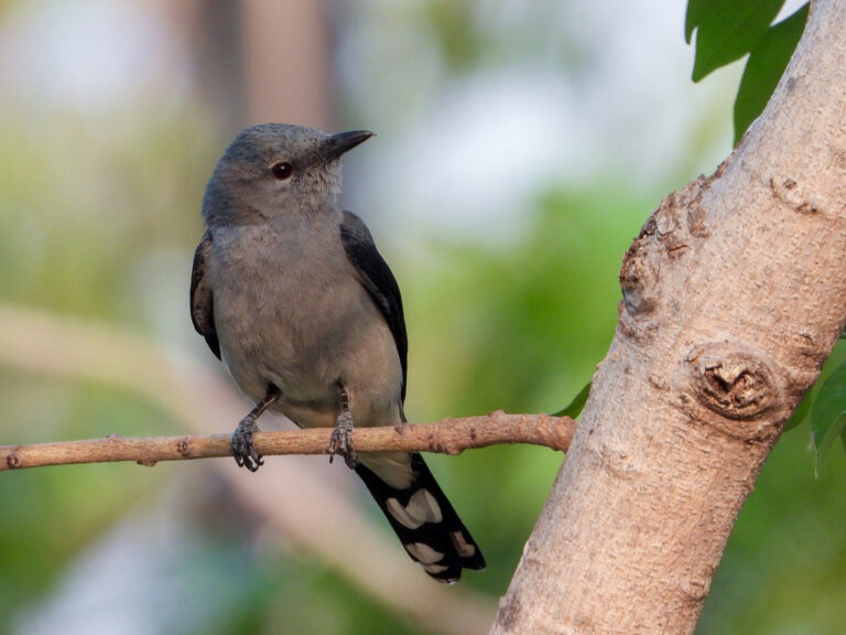
Lalage melaschistos
♥
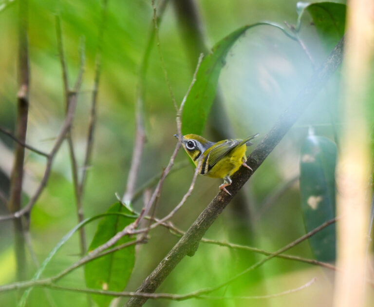
Pteruthius melanotis
♥
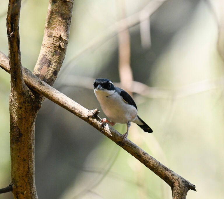
Pteruthius aeralatus
♥
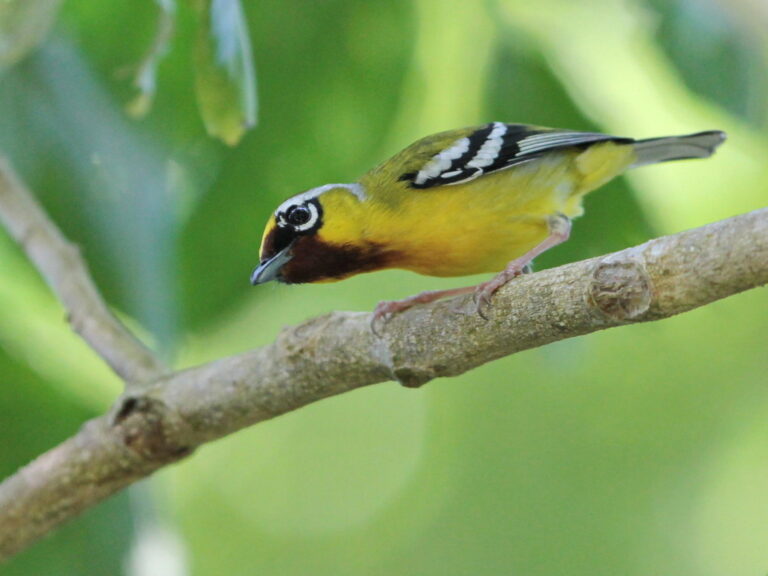
Pteruthius intermedius
♥
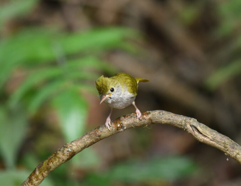
Erpornis zantholeuca
♥
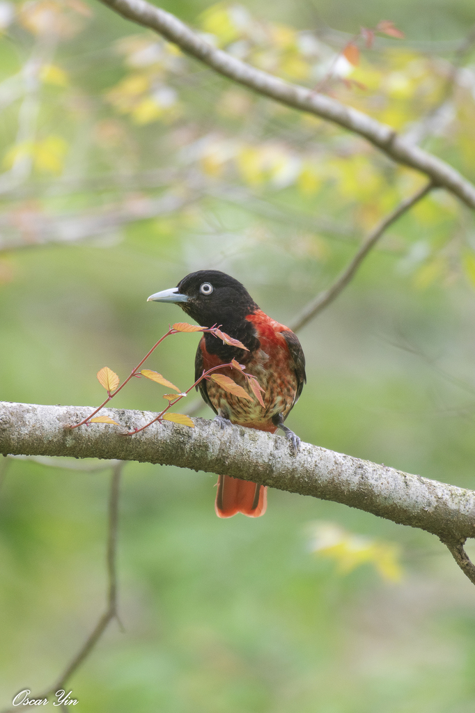
Oriolus traillii
♥
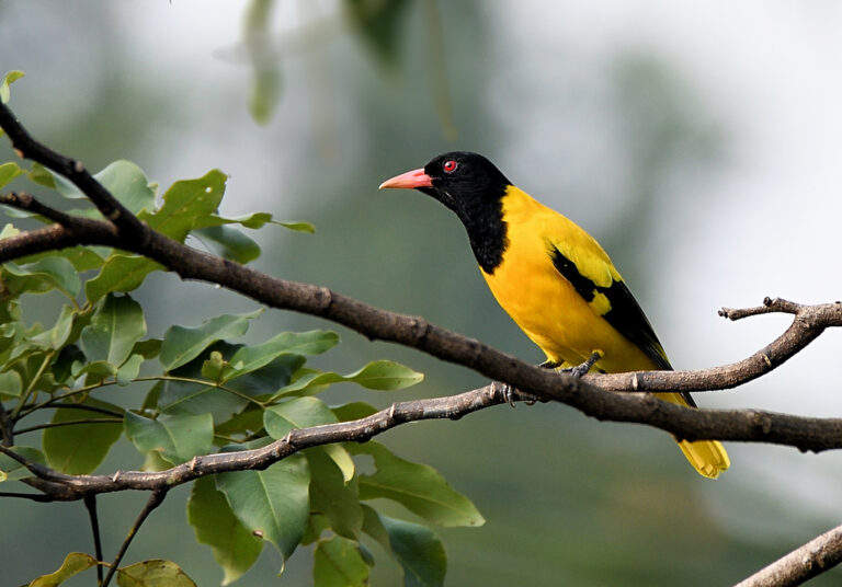
Oriolus xanthornus
♥
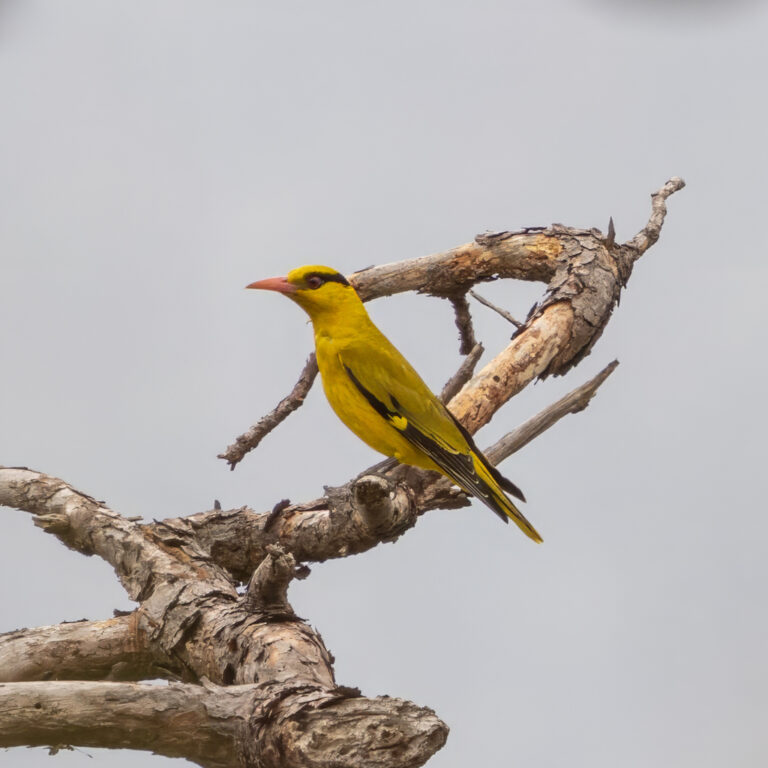
Oriolus tenuirostris
♥
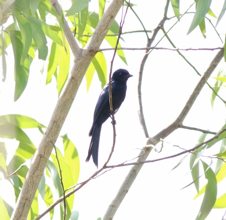
Dicrurus aeneus
♥
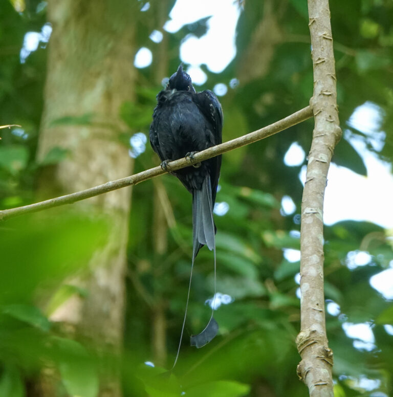
Dicrurus remifer
♥
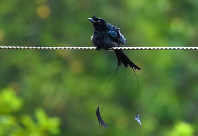
Dicrurus paradiseus
♥
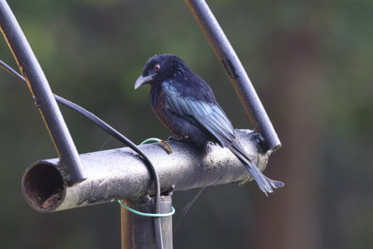
Dicrurus hottentottus
♥
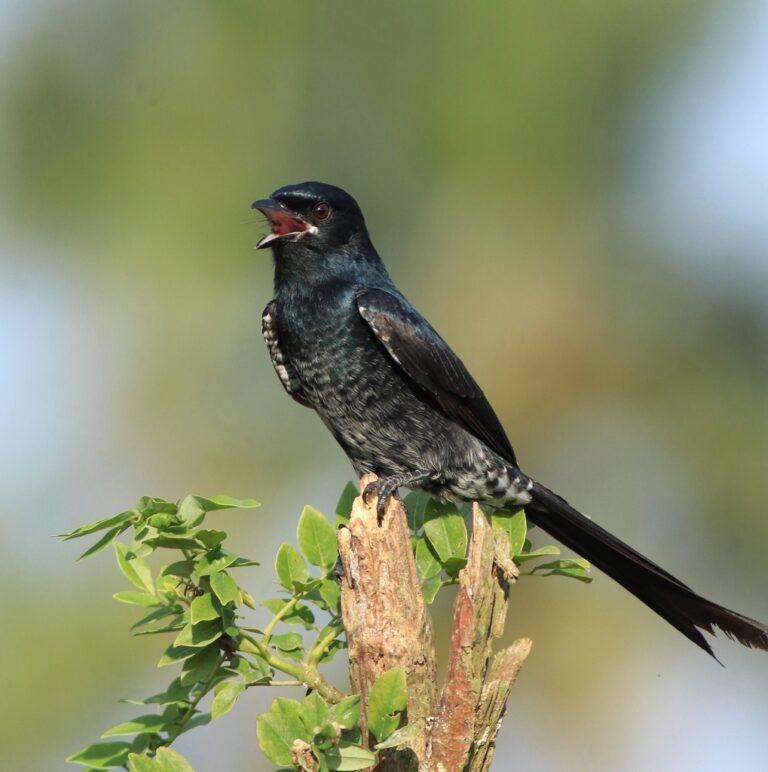
Dicrurus macrocercus
♥
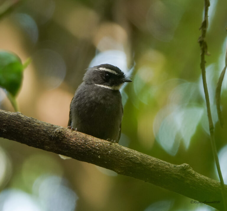
Rhipidura albicollis
♥
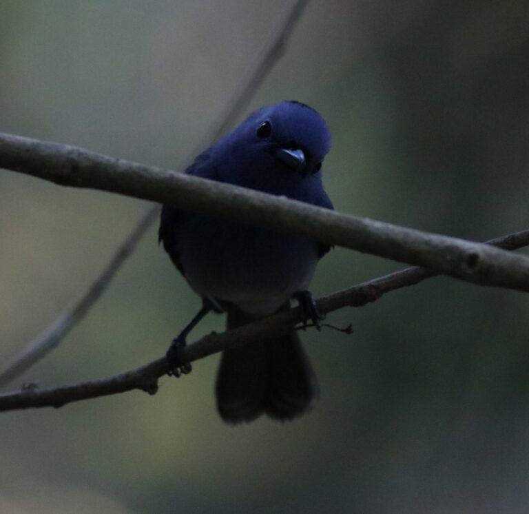
Hypothymis azurea
♥
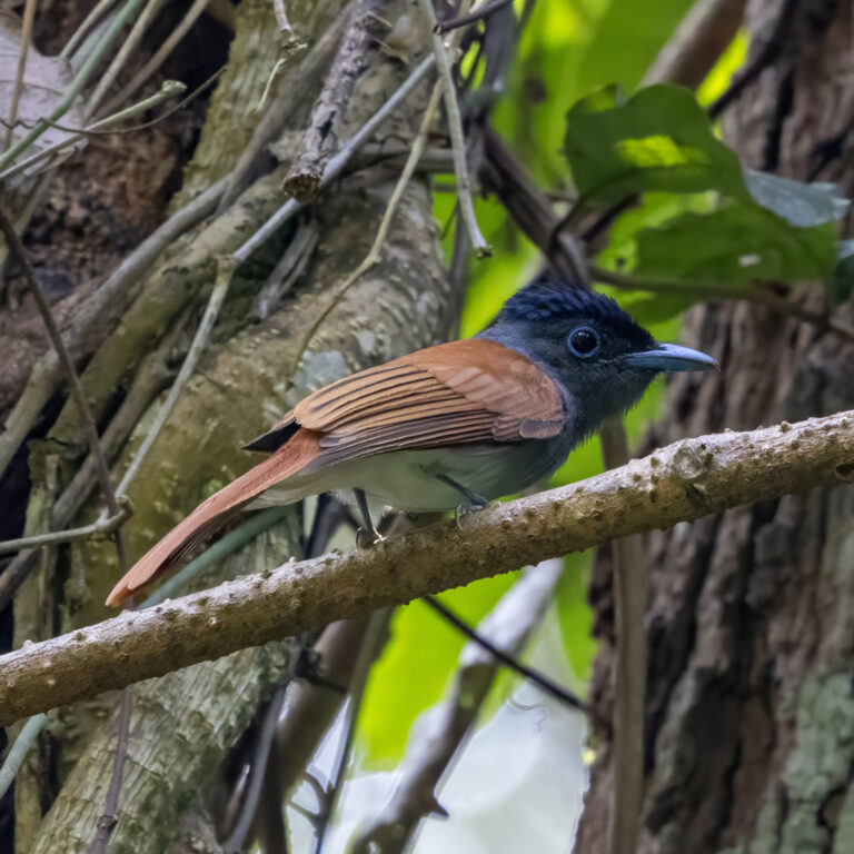
Terpsiphone affinis
♥
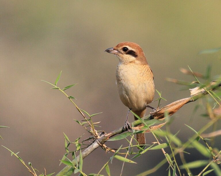
Lanius cristatus
♥
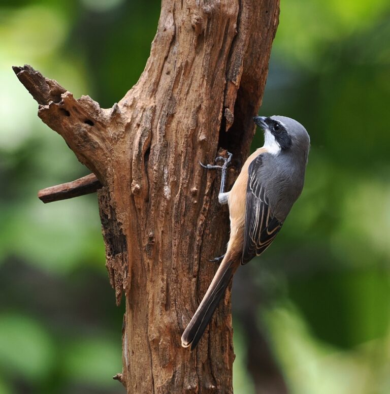
Lanius tephronotus
♥
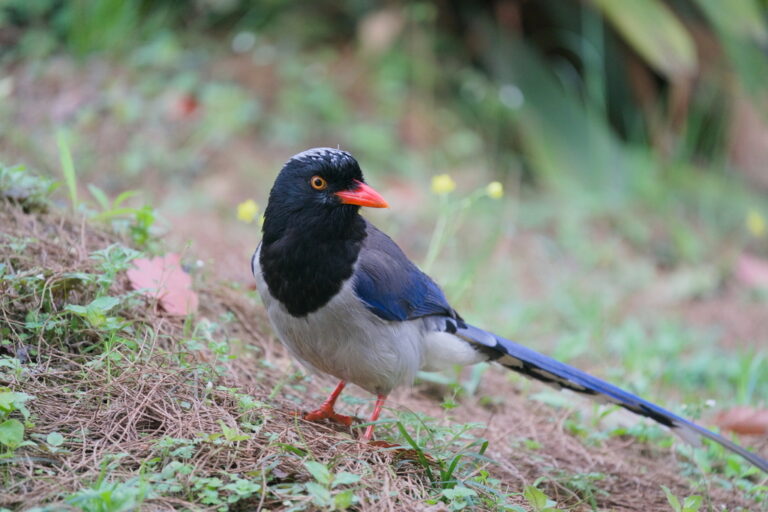
Urocissa erythroryncha
♥
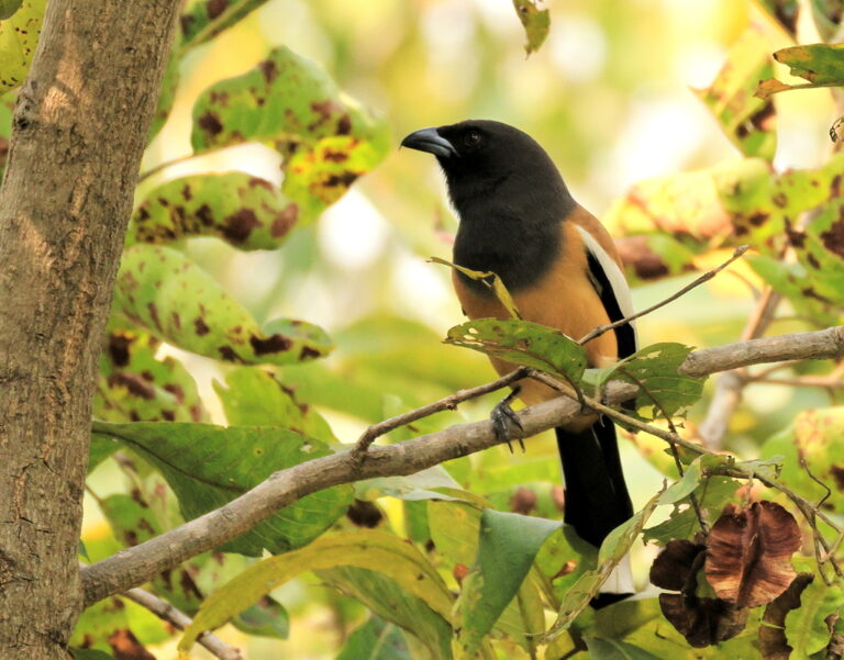
Dendrocitta vagabunda
♥
Dendrocitta formosae
♥
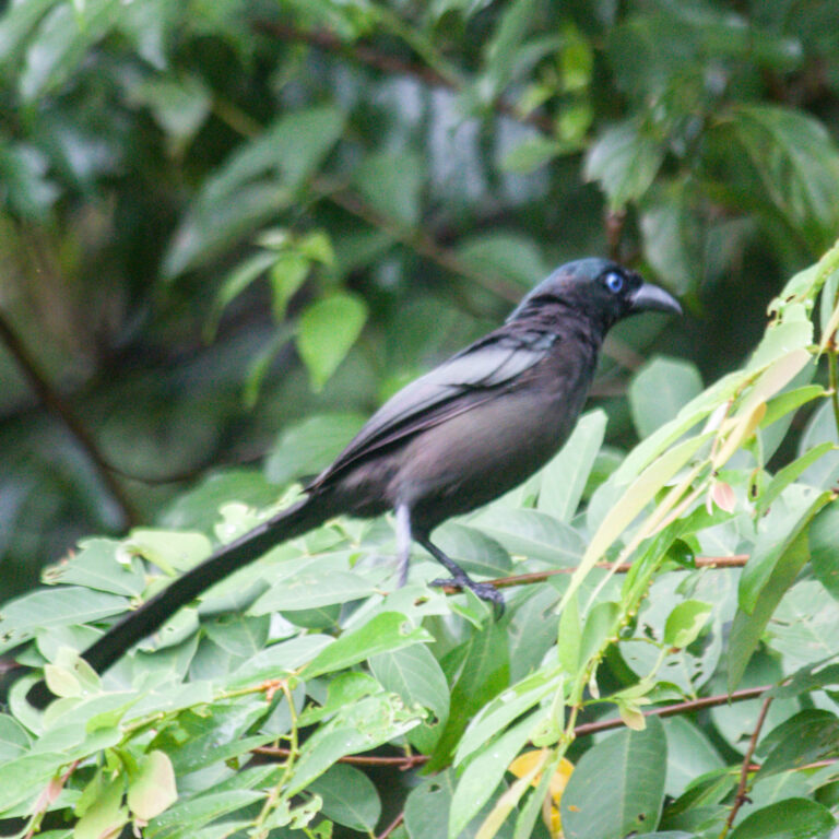
Crypsirina temia
♥
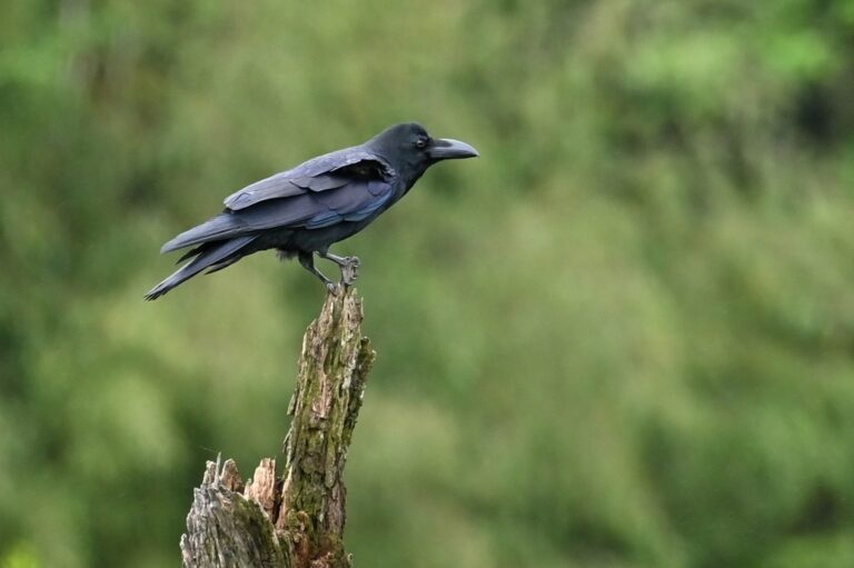
Corvus macrorhynchos
♥
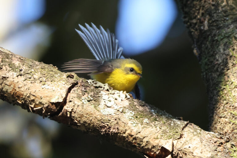
Chelidorhynx hypoxanthus
♥
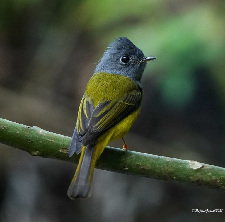
Culicicapa ceylonensis
♥
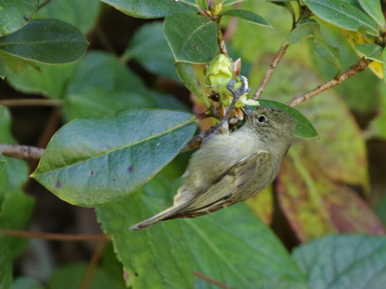
Sylviparus modestus
♥
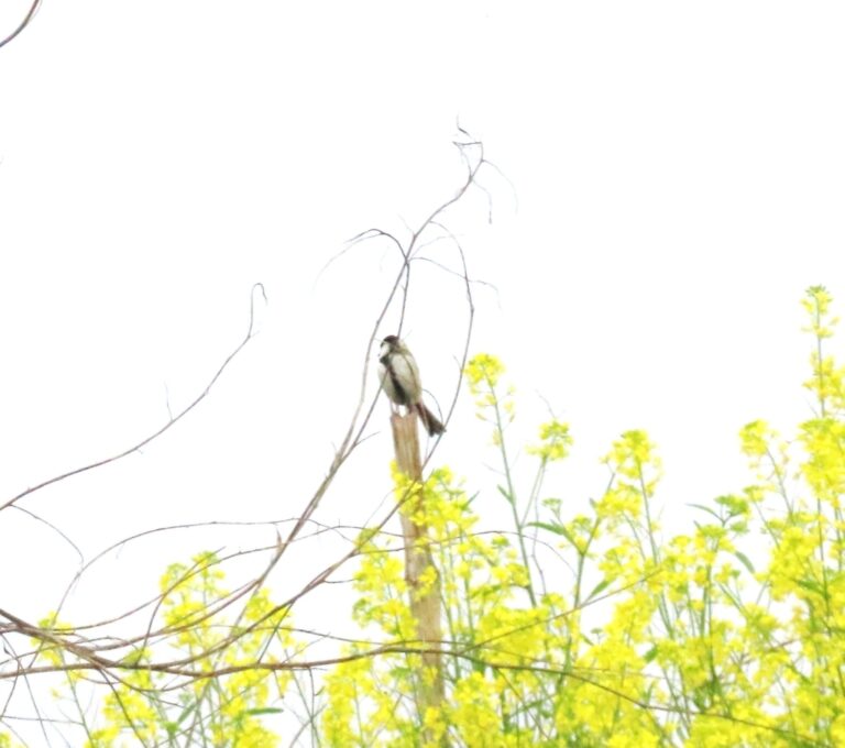
Parus cinereus
♥
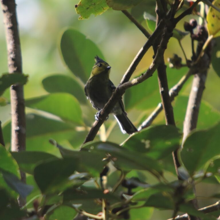
Machlolophus spilonotus
♥
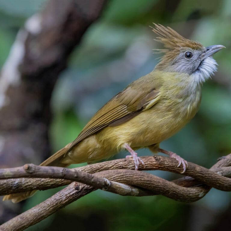
Alophoixus pallidus
♥
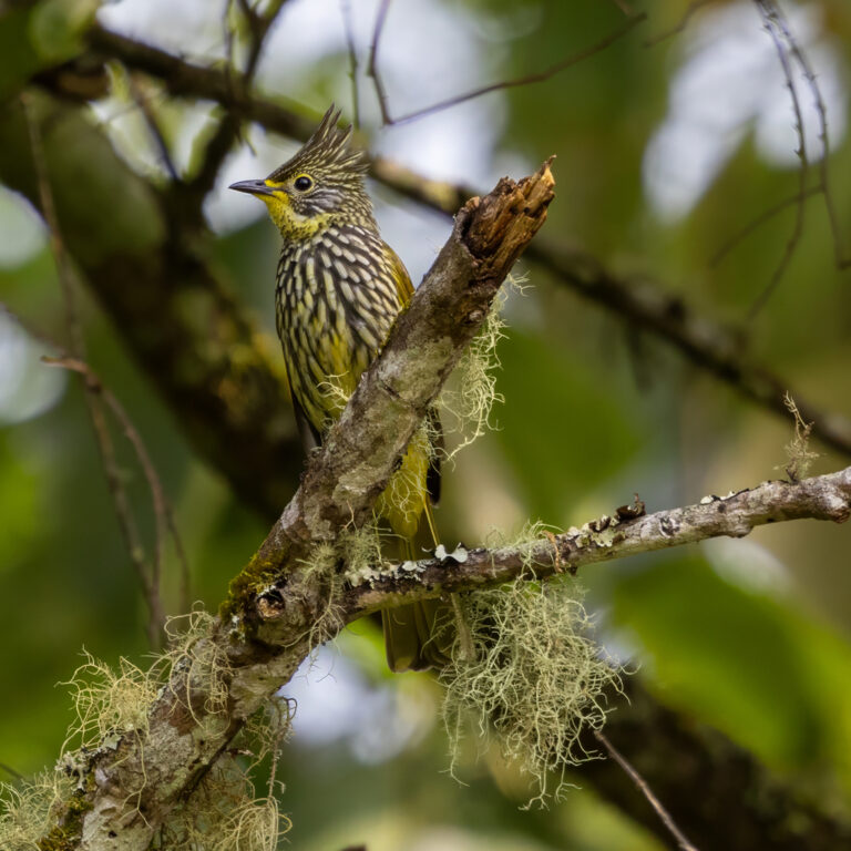
Alcurus striatus
♥
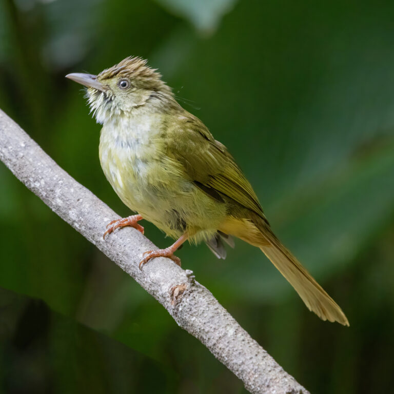
Iole propinqua
♥
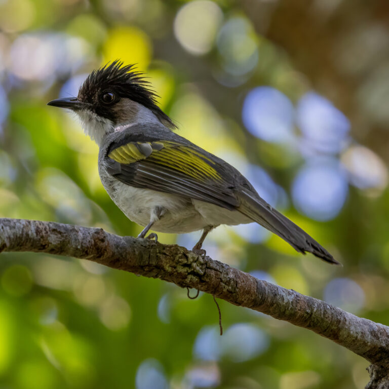
Hemixos flavala
♥
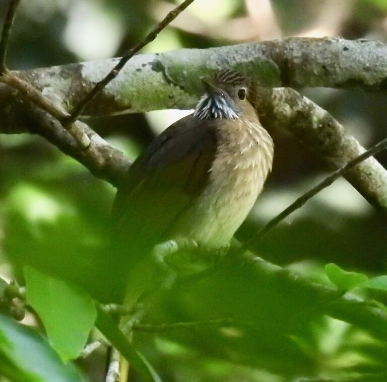
Ixos mcclellandii
♥
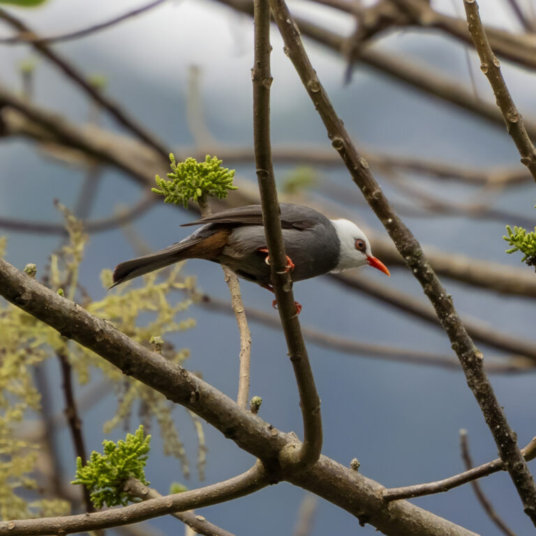
Hypsipetes thompsoni
♥
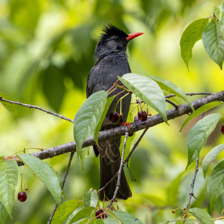
Hypsipetes leucocephalus
♥
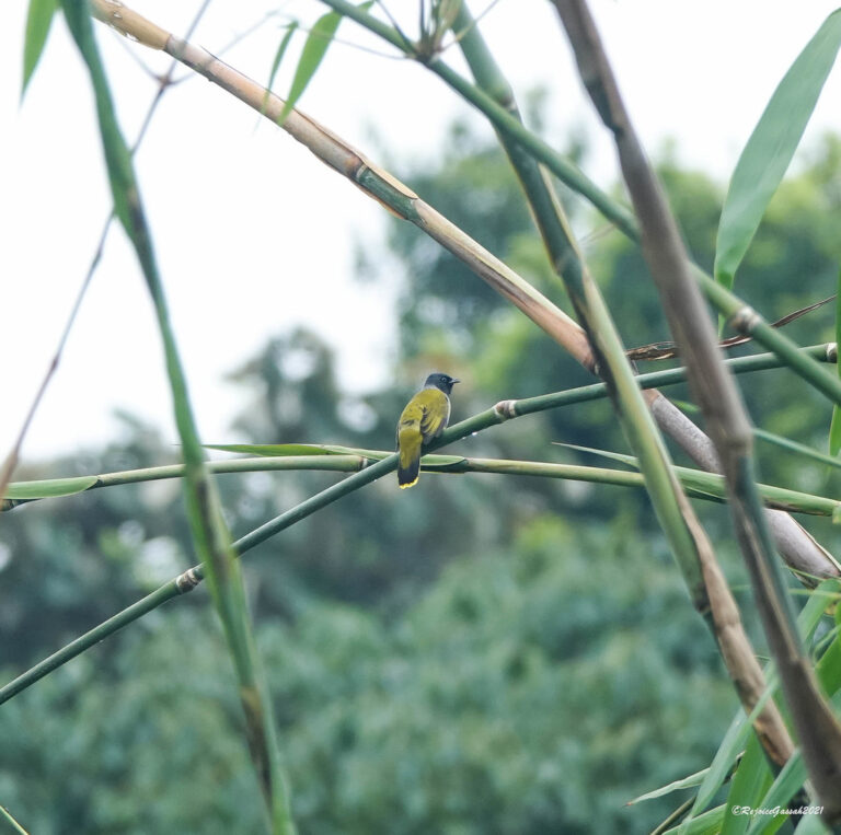
Microtarsus melanocephalos
♥
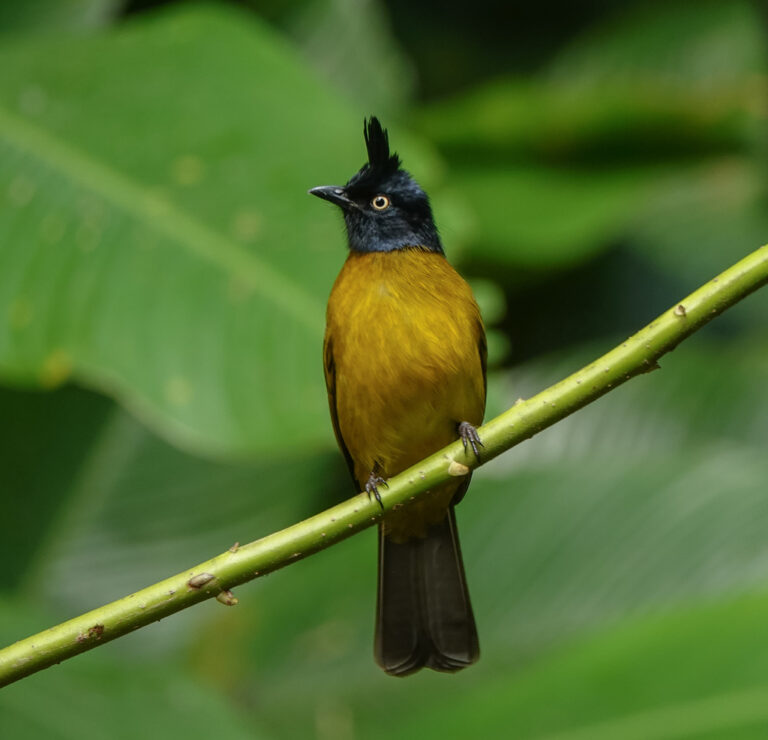
Rubigula flaviventris
♥
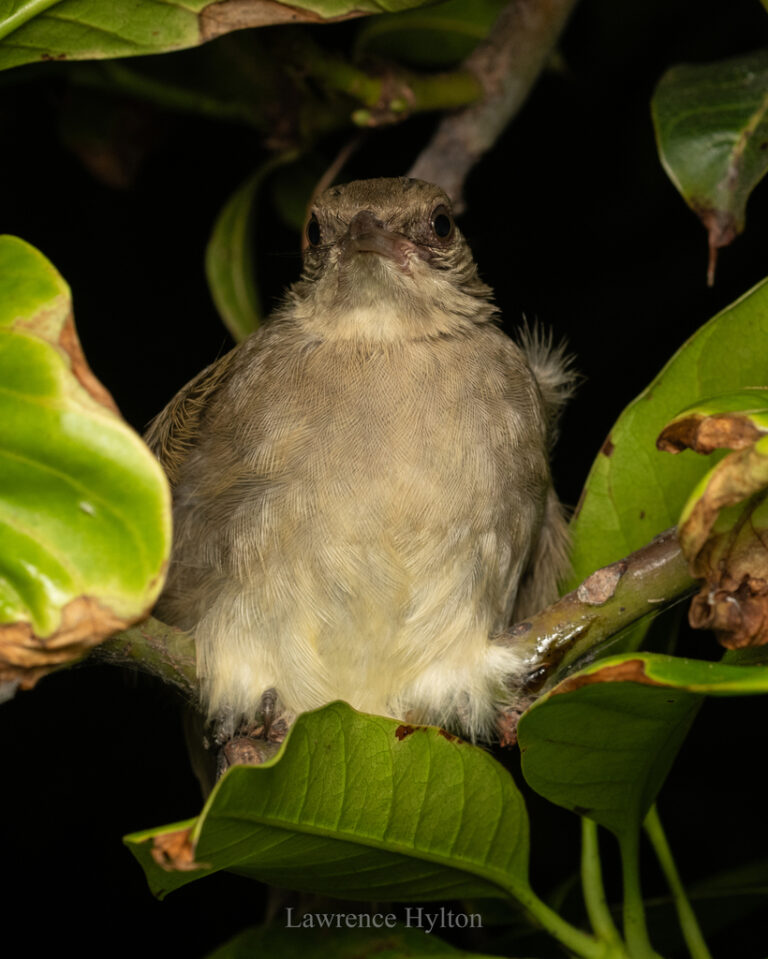
Pycnonotus conradi
♥
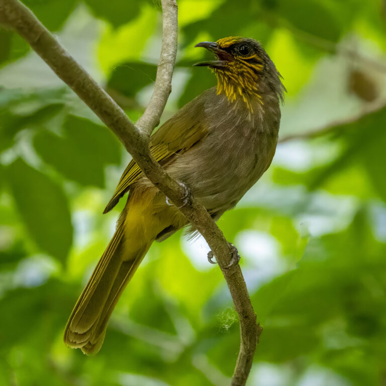
Pycnonotus finlaysoni
♥
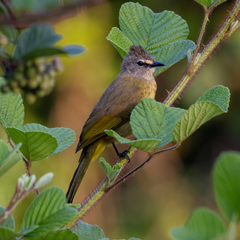
Pycnonotus flavescens
♥
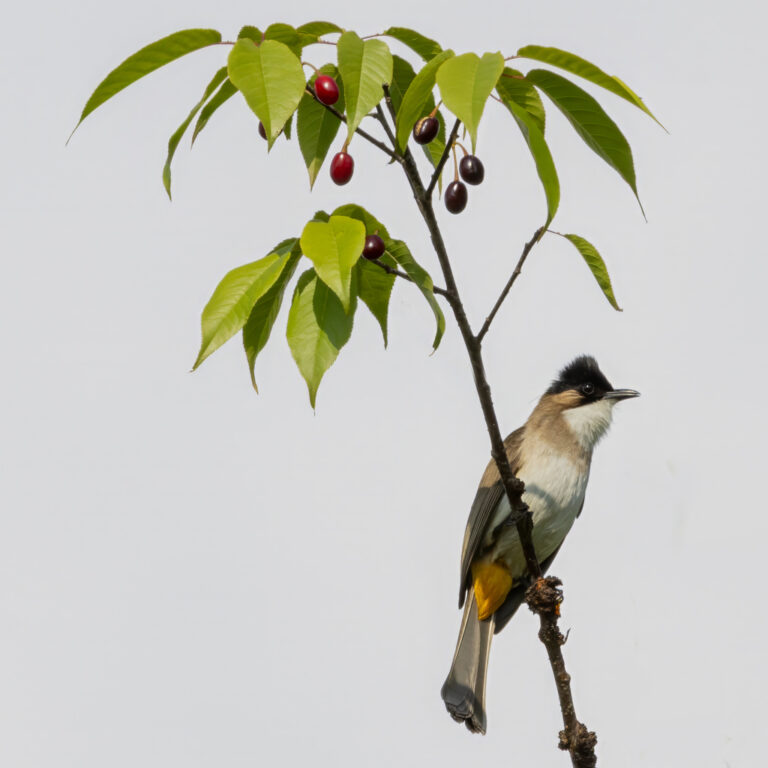
Pycnonotus xanthorrhous
♥
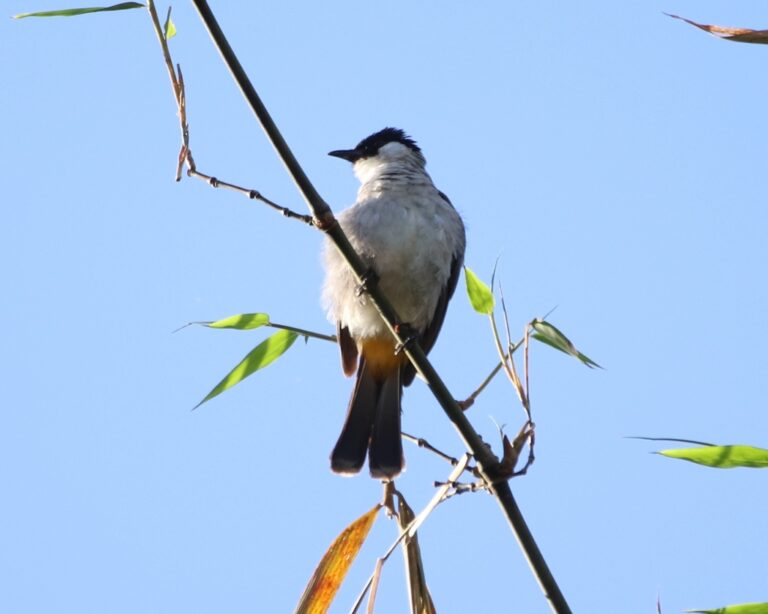
Pycnonotus aurigaster
♥
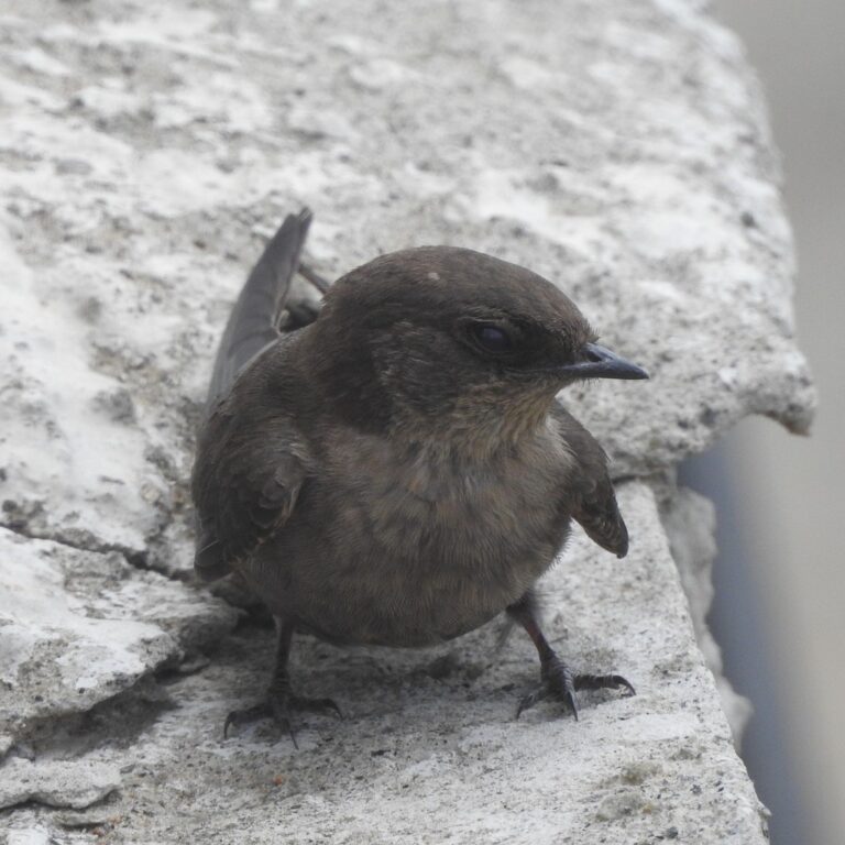
Ptyonoprogne concolor
♥
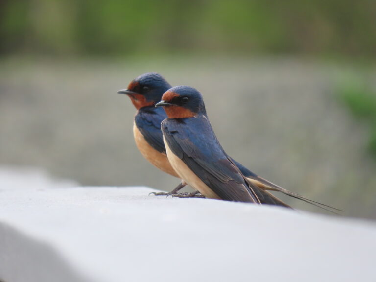
Hirundo rustica
♥
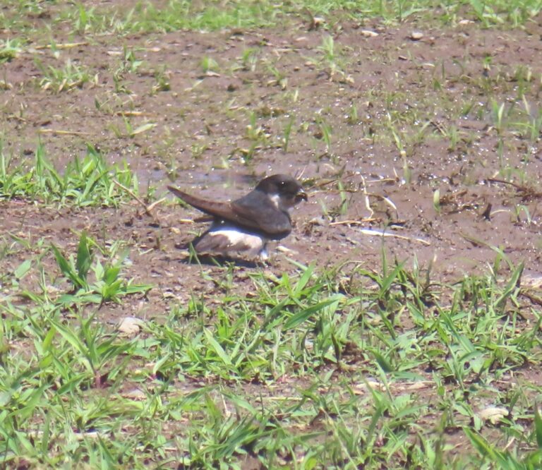
Delichon dasypus
♥
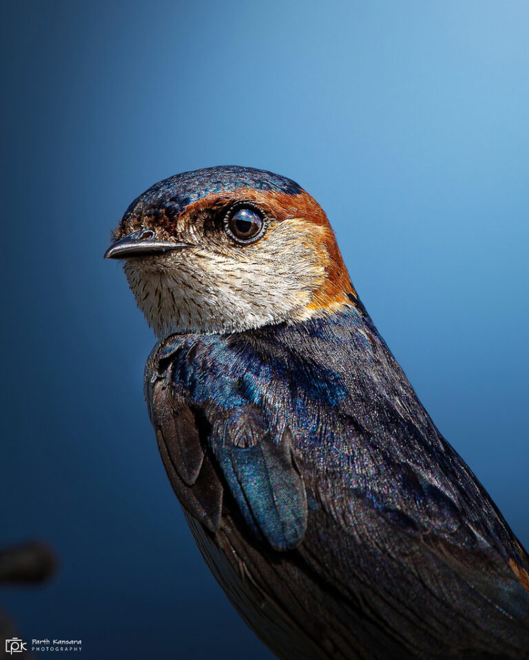
Cecropis daurica
♥
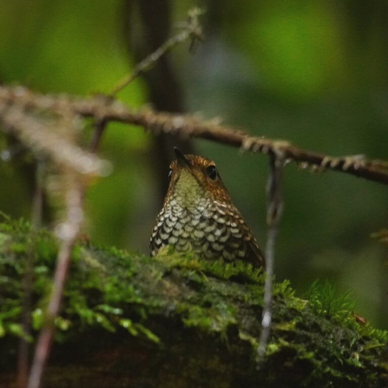
Pnoepyga pusilla
♥
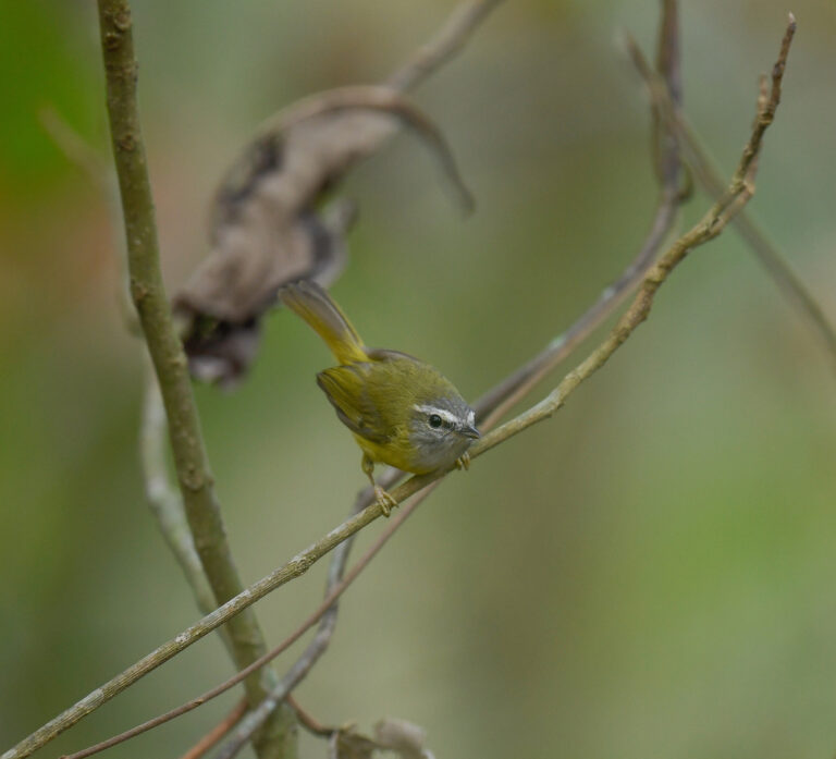
Abroscopus superciliaris
♥
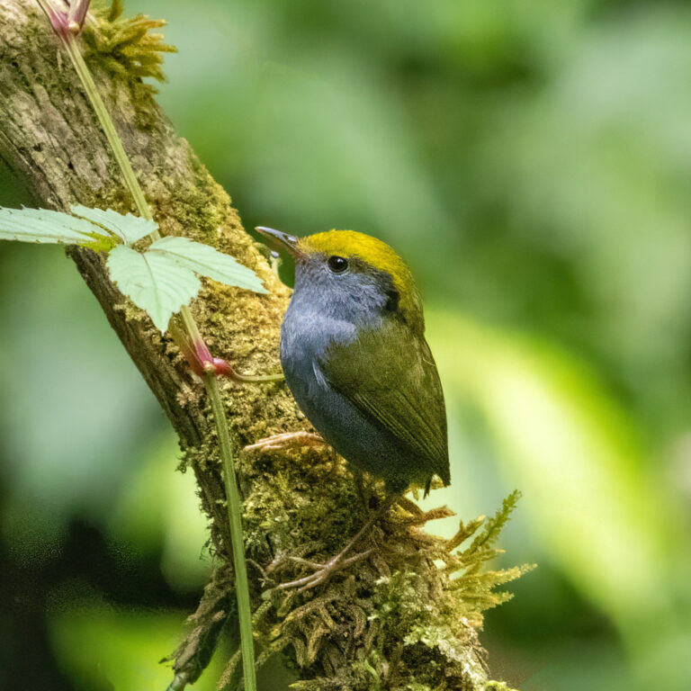
Tesia olivea
♥
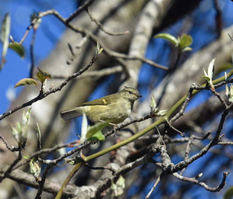
Phylloscopus pulcher
♥
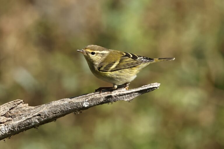
Phylloscopus inornatus
♥
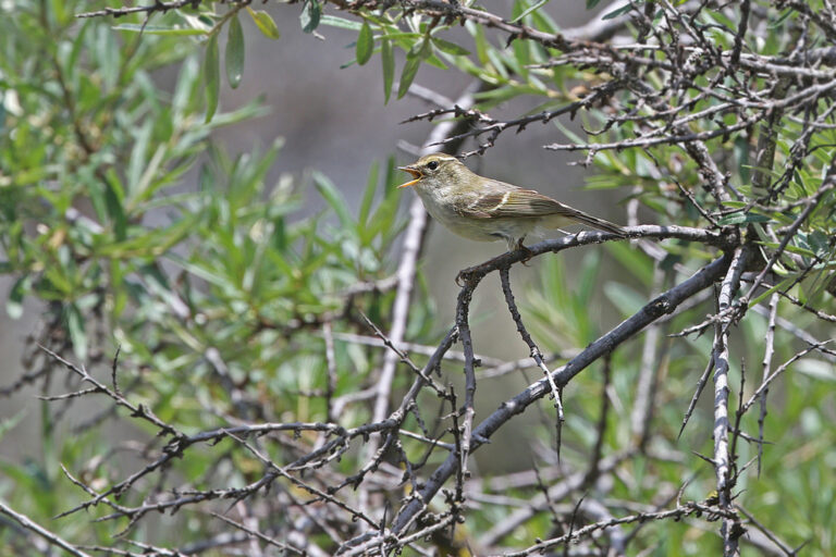
Phylloscopus yunnanensis
♥
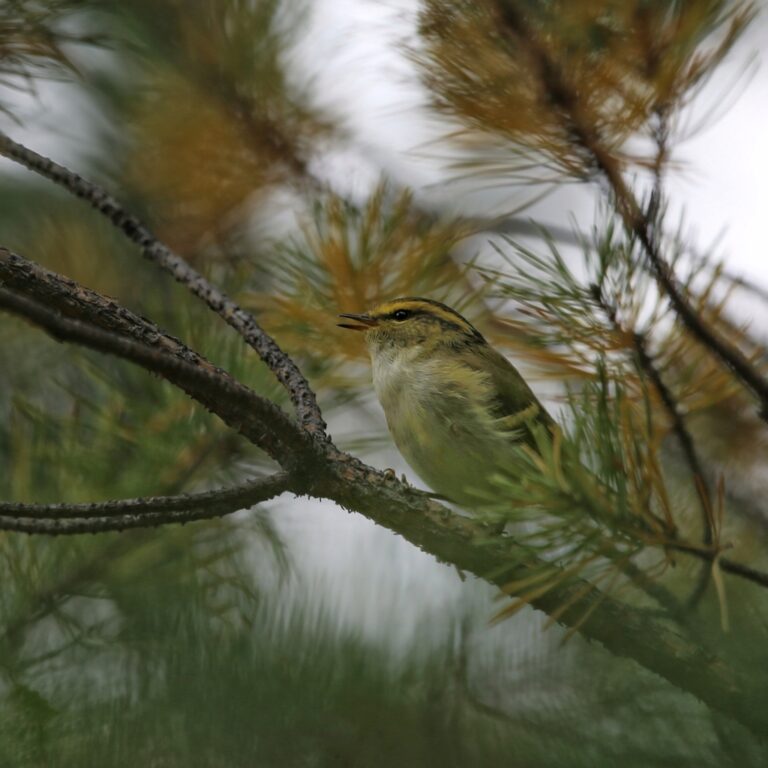
Phylloscopus proregulus
♥
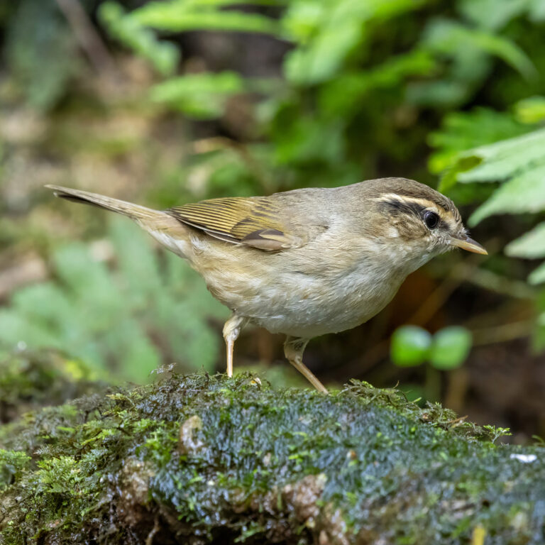
Phylloscopus schwarzi
♥
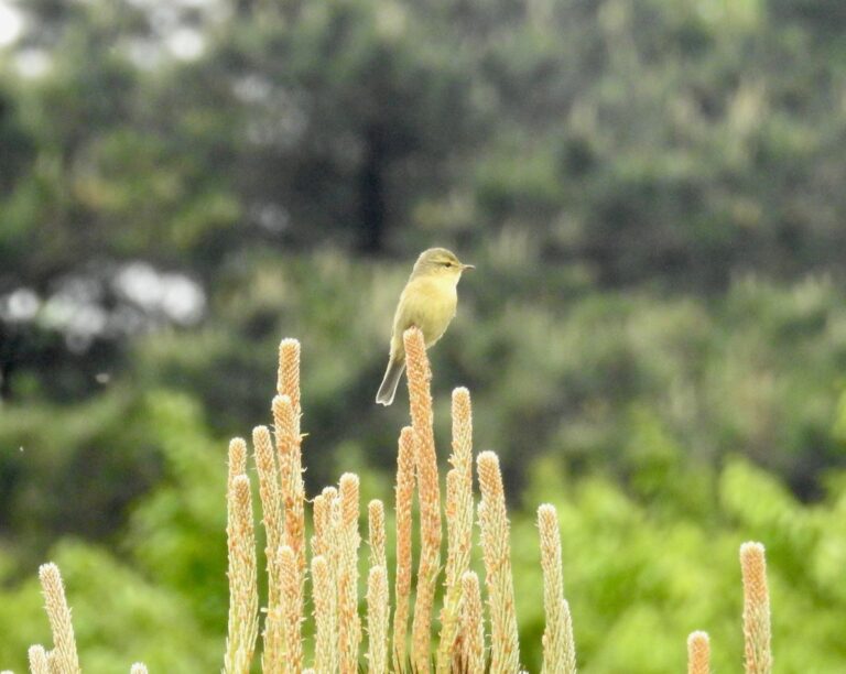
Phylloscopus subaffinis
♥
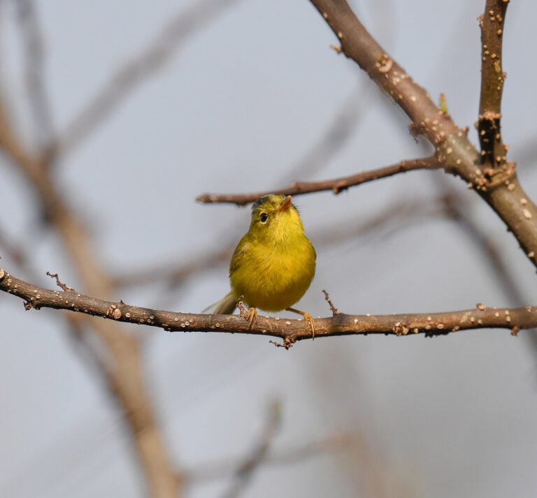
Phylloscopus tephrocephalus
♥
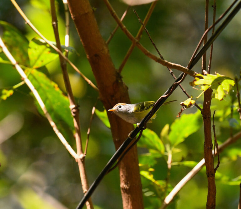
Phylloscopus castaniceps
♥
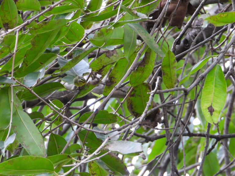
Phylloscopus ricketti
♥
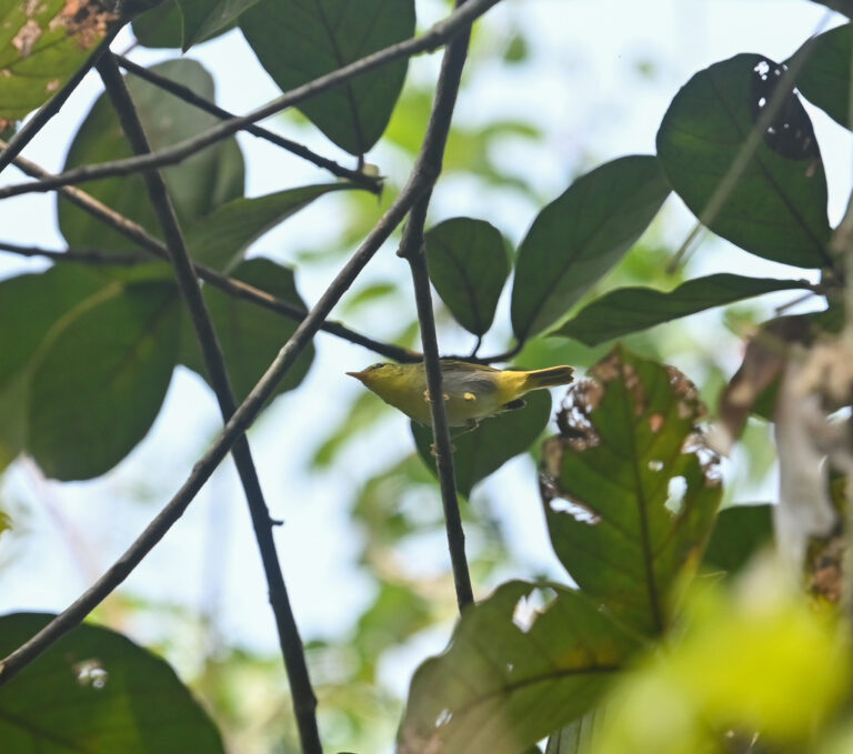
Phylloscopus cantator
♥
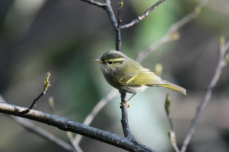
Phylloscopus reguloides
♥
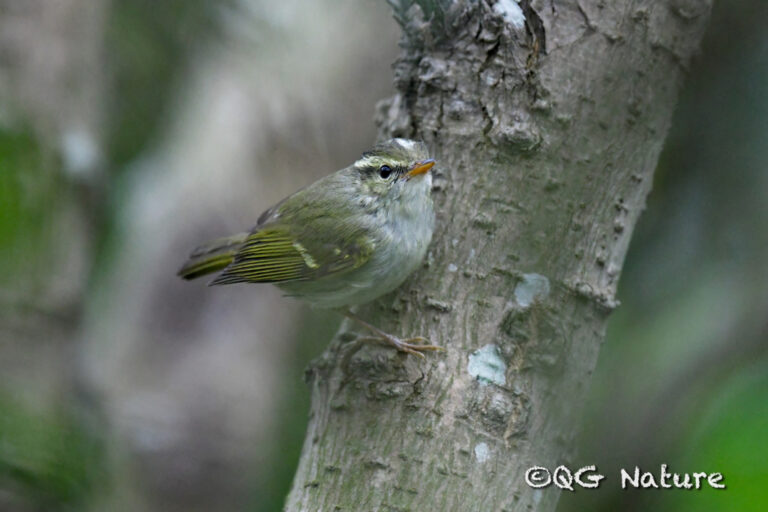
Phylloscopus claudiae
♥
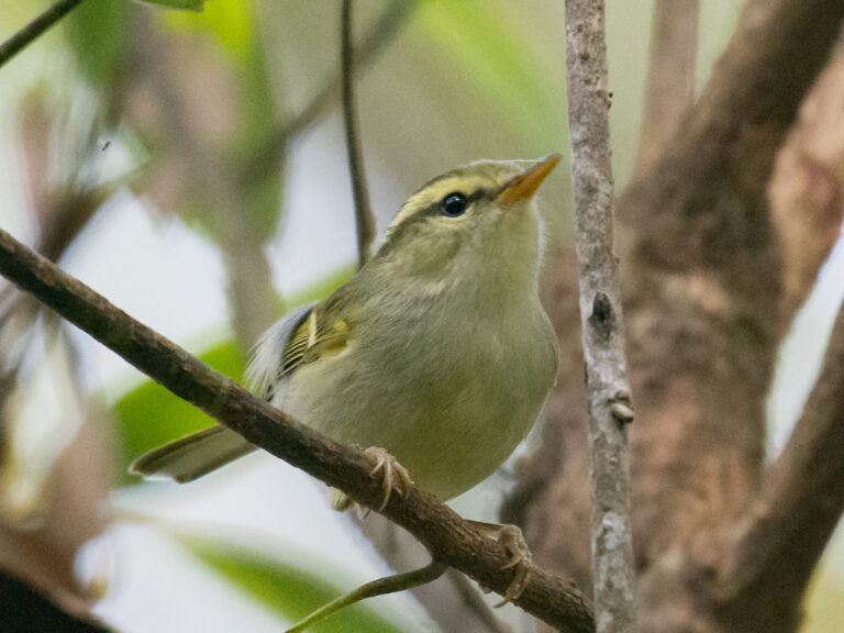
Phylloscopus intensior
♥
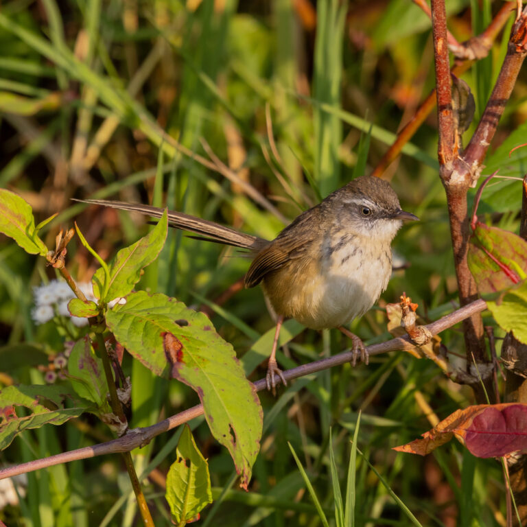
Prinia superciliaris
♥
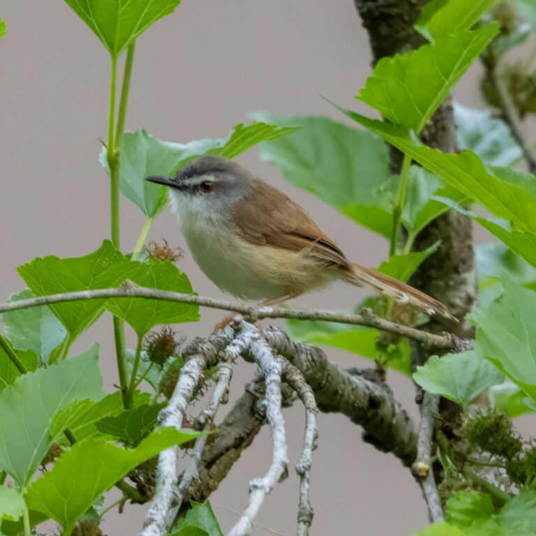
Prinia rufescens
♥
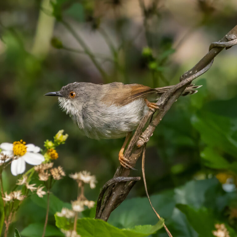
Prinia hodgsonii
♥
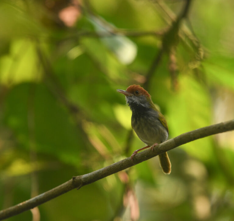
Orthotomus atrogularis
♥
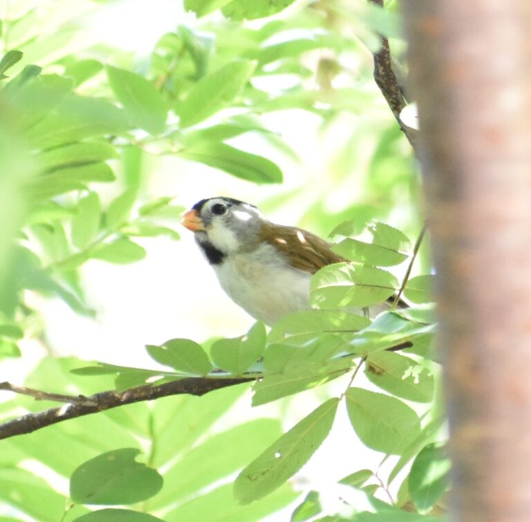
Paradoxornis gularis
♥
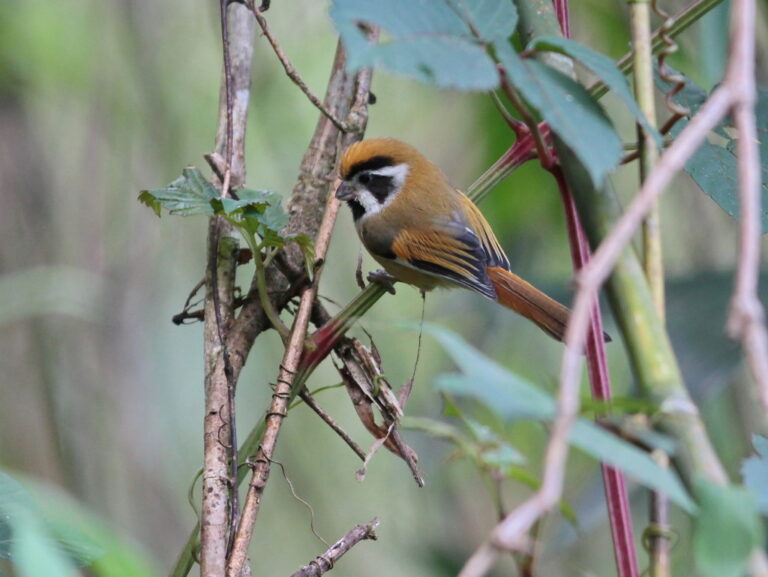
Suthora nipalensis
♥
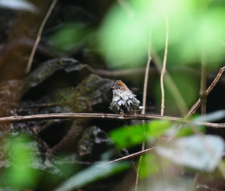
Staphida castaniceps
♥
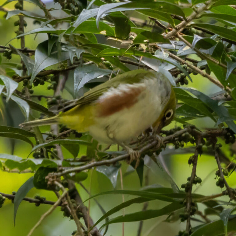
Zosterops erythropleurus
♥
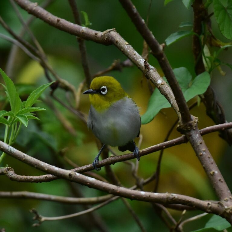
Zosterops palpebrosus
♥
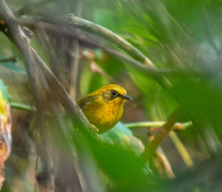
Cyanoderma chrysaeum
♥
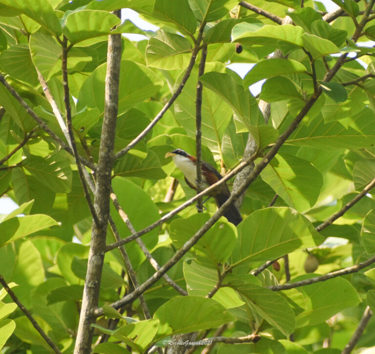
Pomatorhinus schisticeps
♥
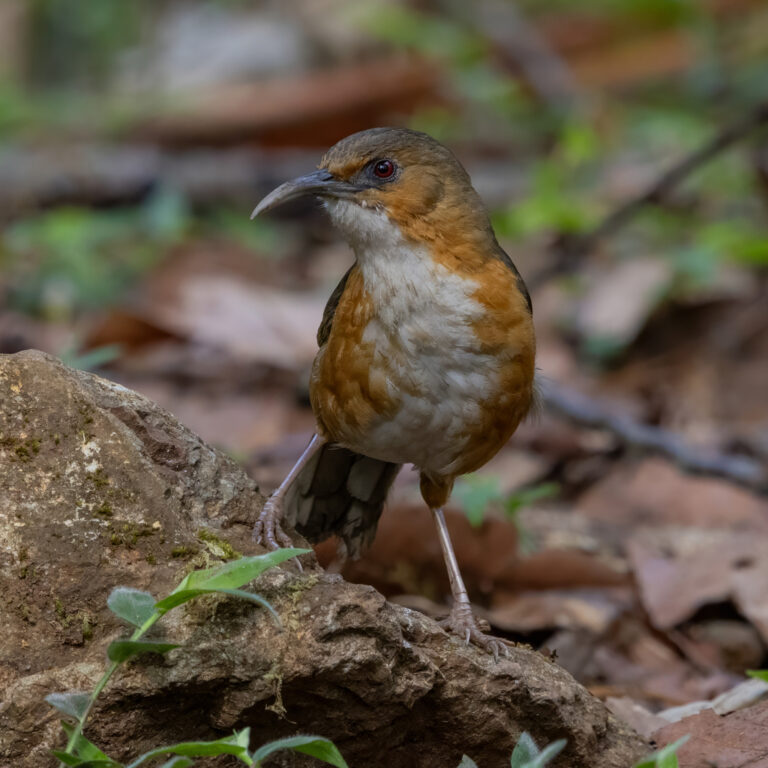
Erythrogenys imberbis
♥
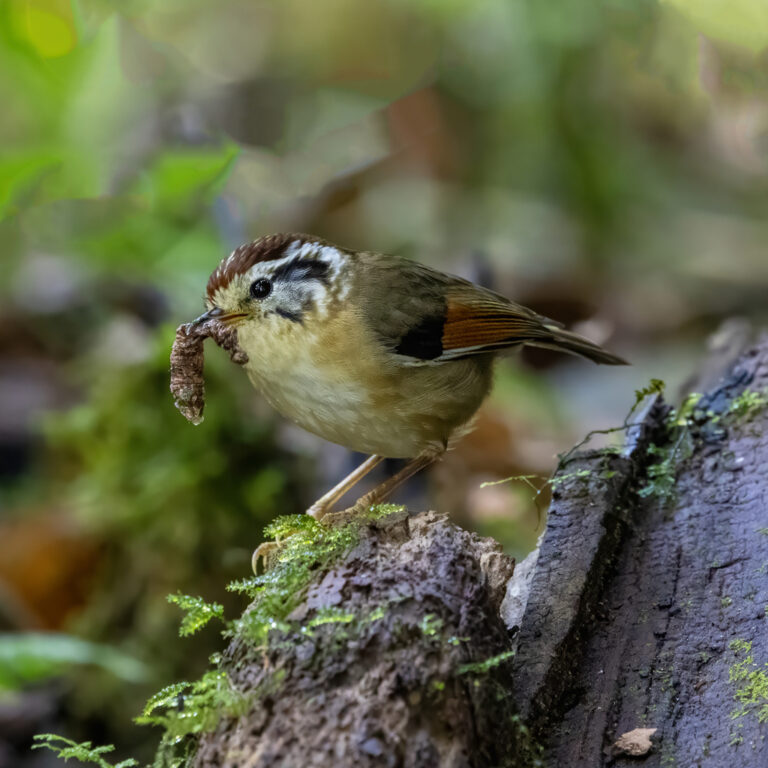
Schoeniparus castaneceps
♥
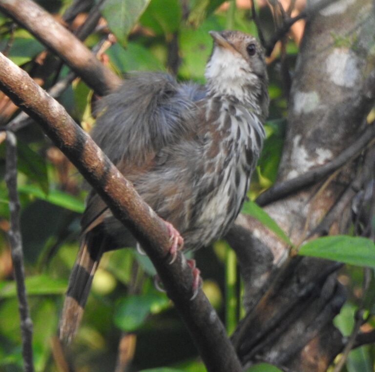
Pellorneum ruficeps
♥
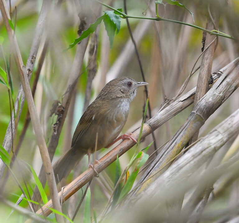
Pellorneum albiventre
♥
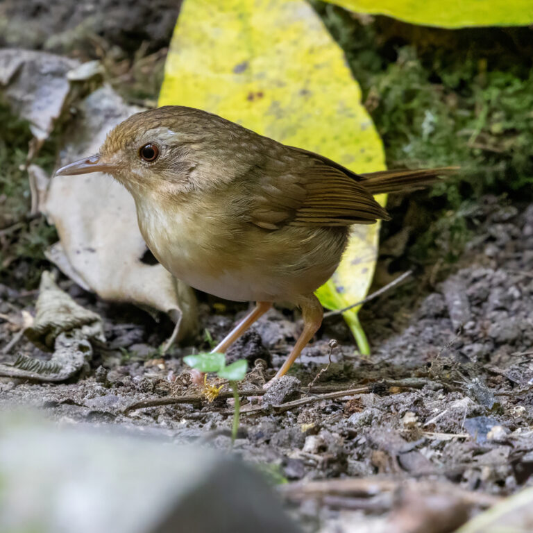
Pellorneum tickelli
♥
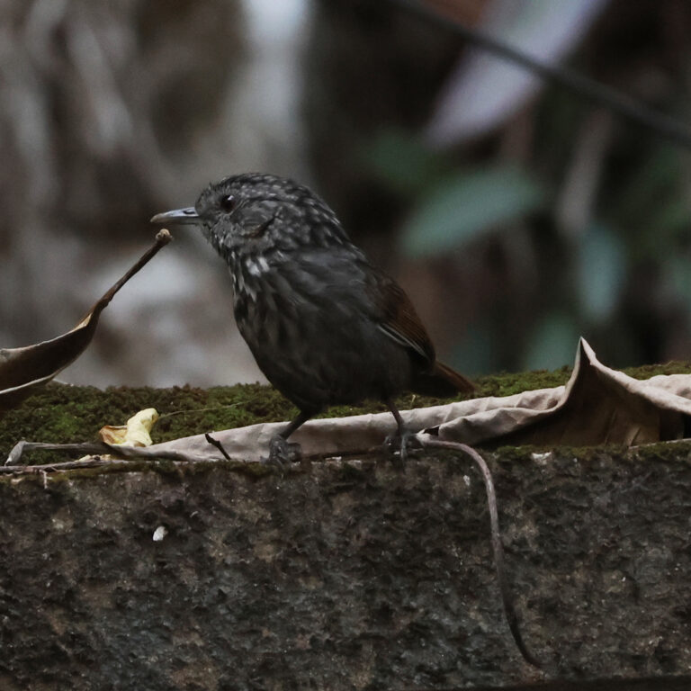
Gypsophila brevicaudata
♥
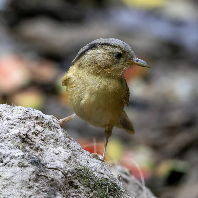
Alcippe poioicephala
♥
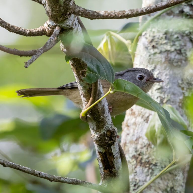
Alcippe fratercula
♥
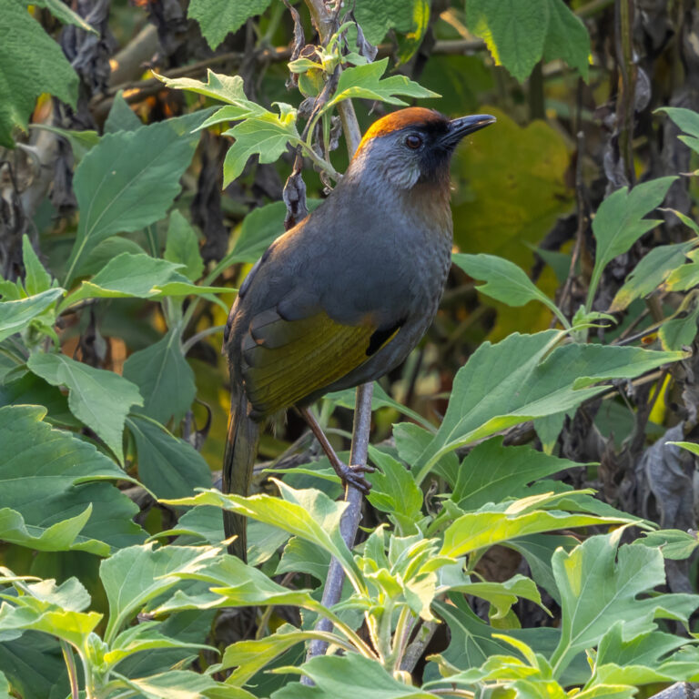
Trochalopteron melanostigma
♥
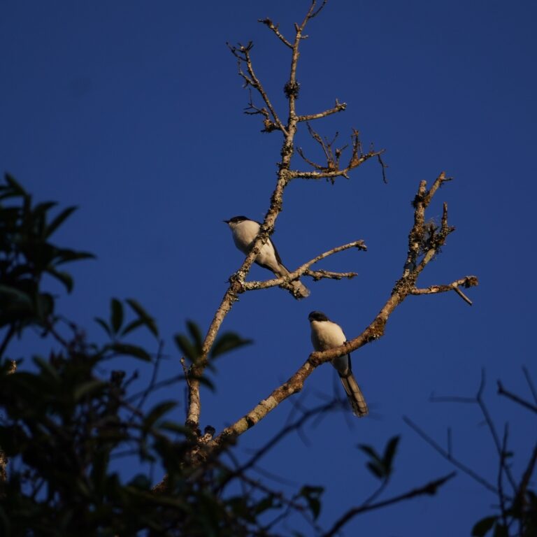
Heterophasia melanoleuca
♥
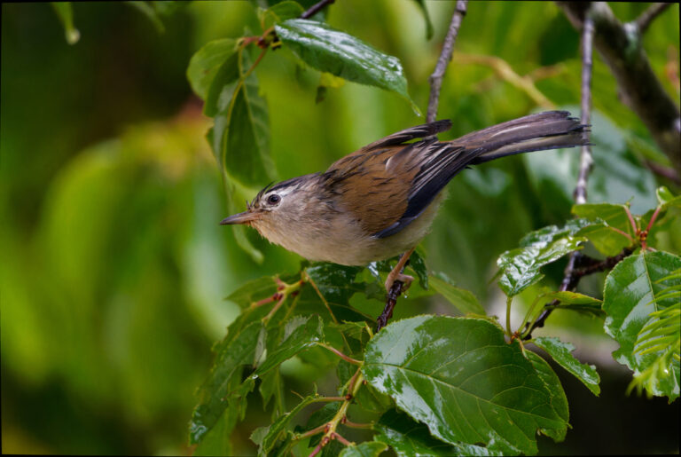
Actinodura cyanouroptera
♥
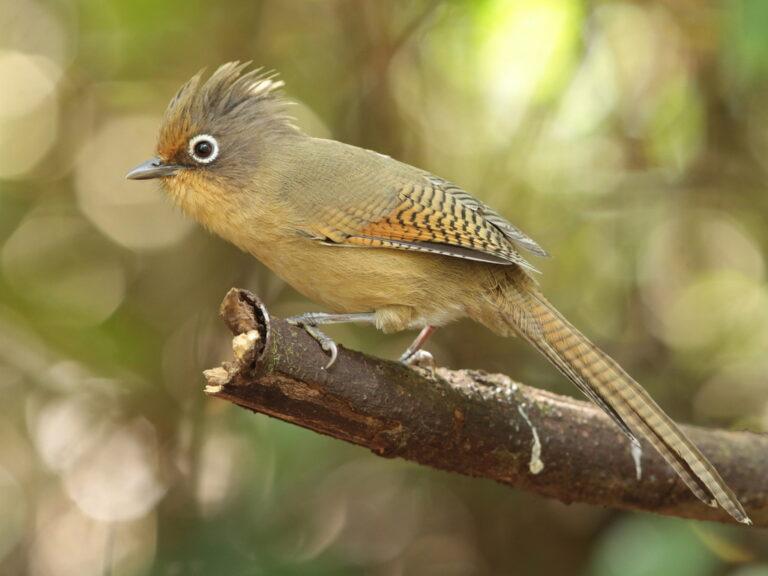
Actinodura ramsayi
♥
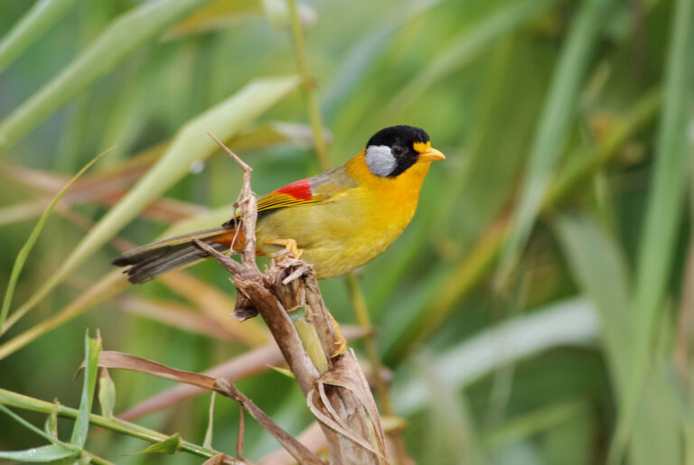
Leiothrix argentauris
♥
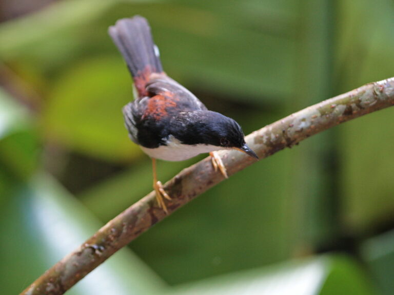
Leioptila annectens
♥
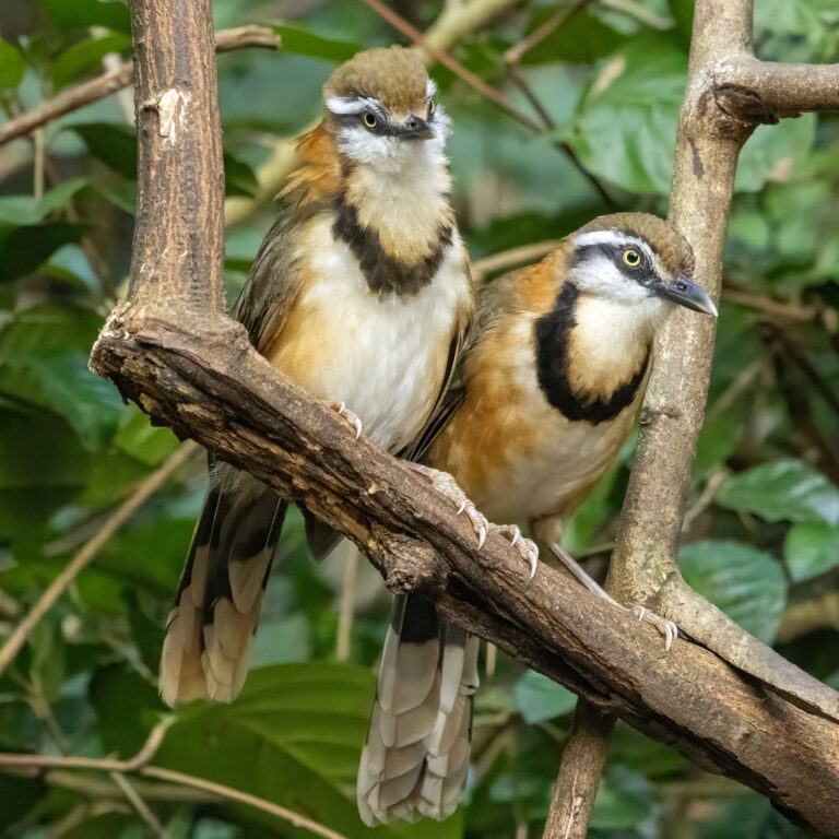
Garrulax monileger
♥
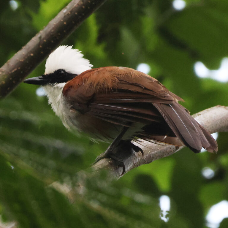
Garrulax leucolophus
♥
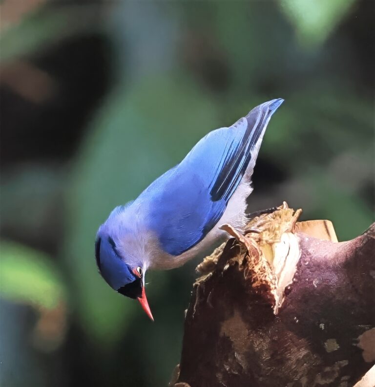
Sitta frontalis
♥
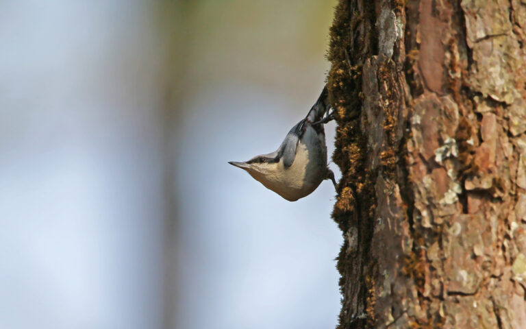
Sitta nagaensis
♥
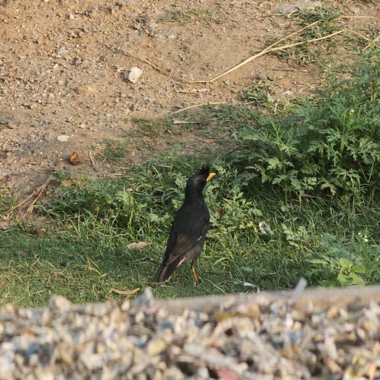
Acridotheres grandis
♥
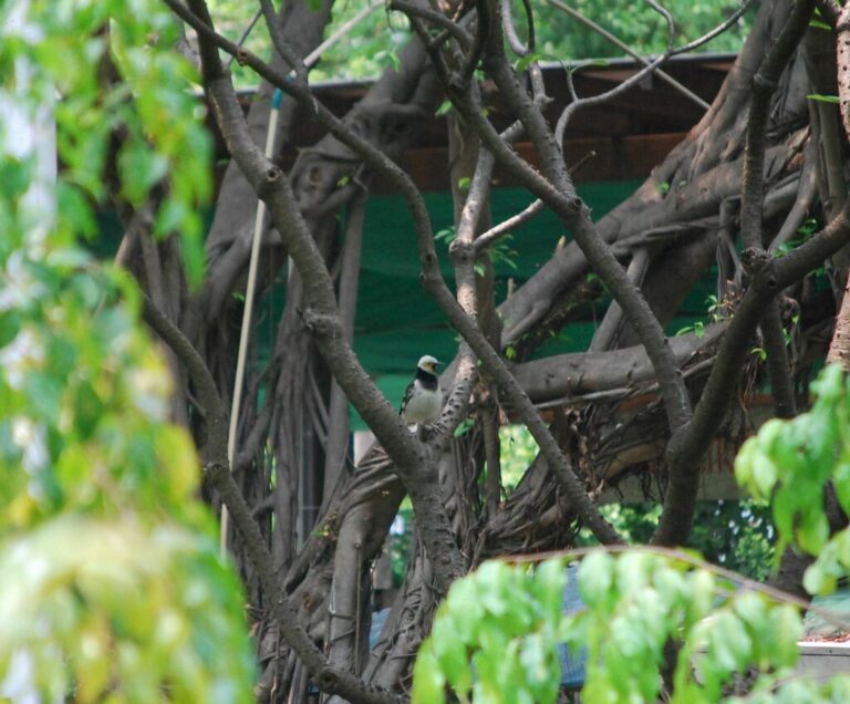
Gracupica nigricollis
♥
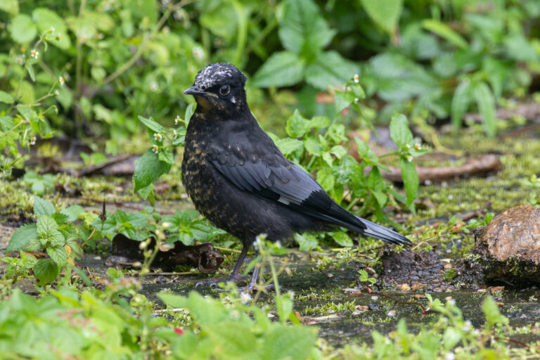
Cochoa purpurea
♥
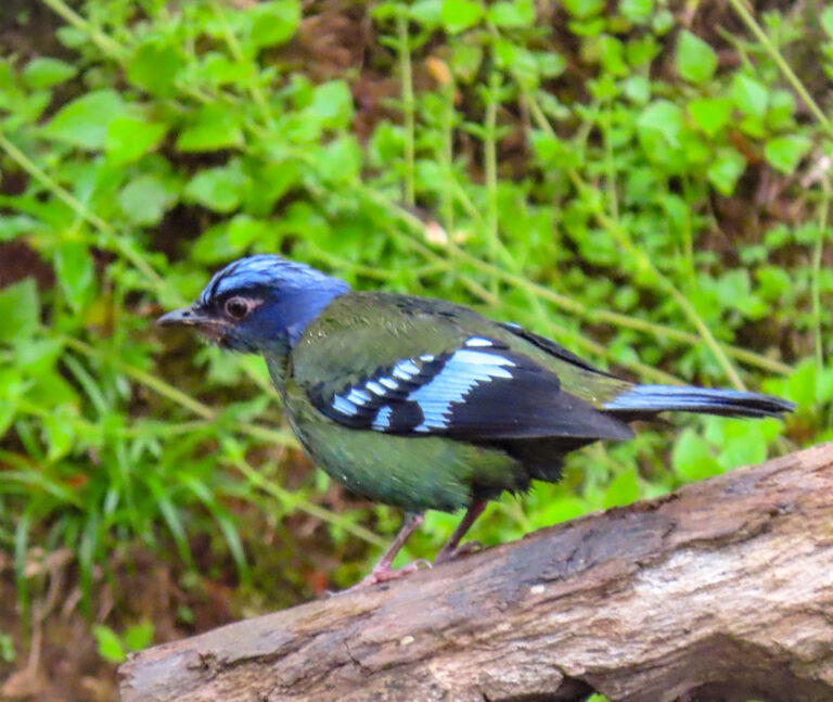
Cochoa viridis
♥
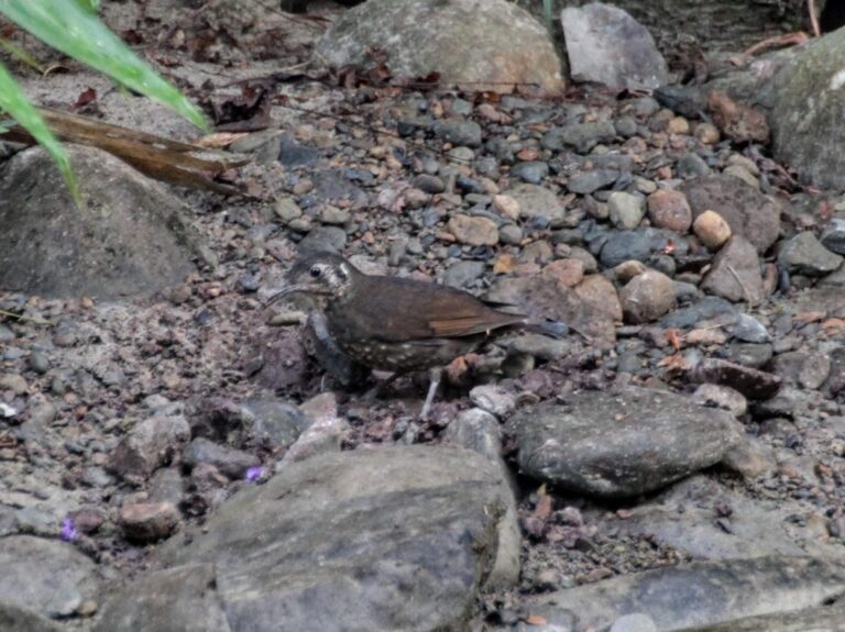
Zoothera marginata
♥
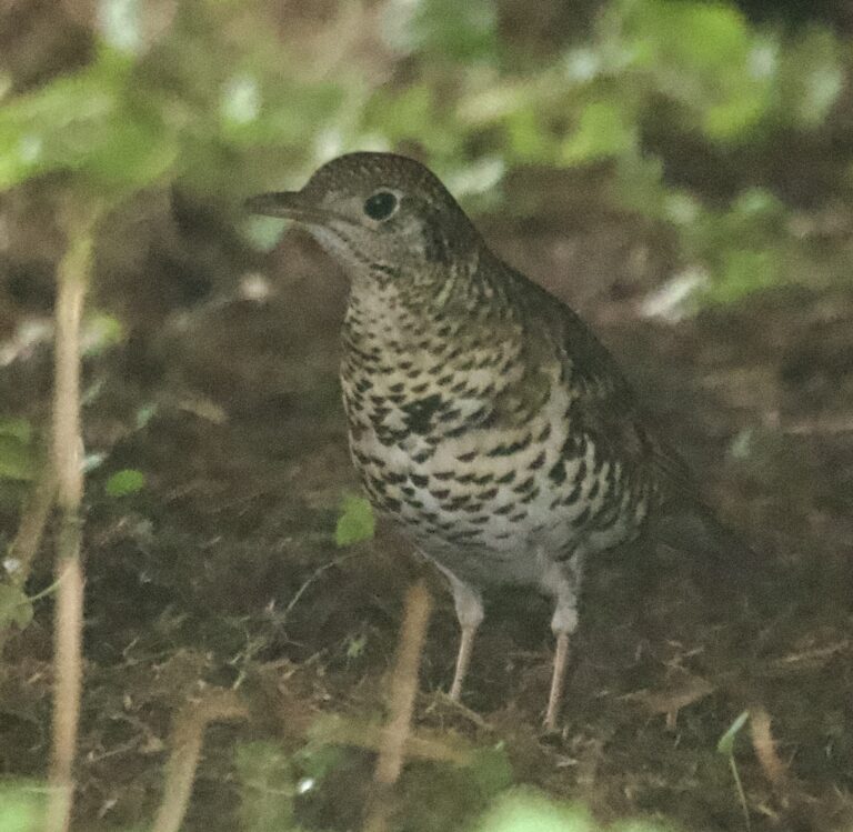
Zoothera aurea
♥
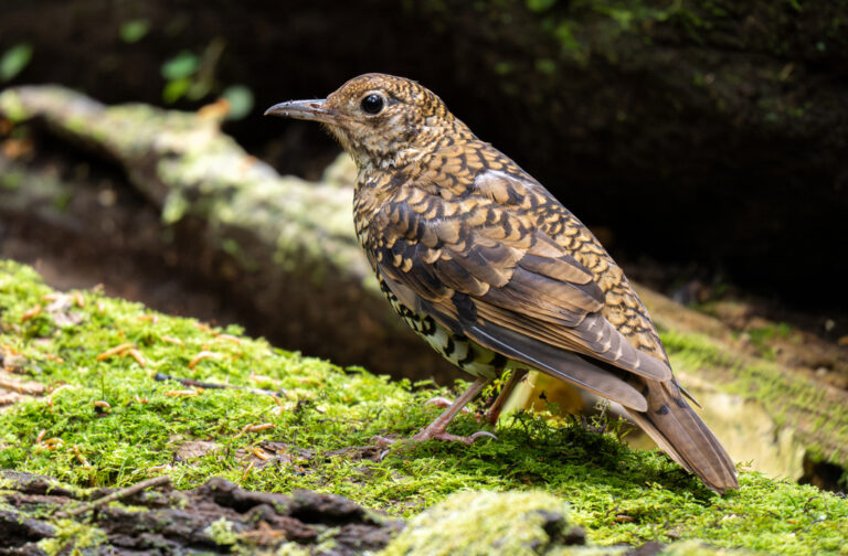
Zoothera dauma
♥
Geokichla sibirica
♥
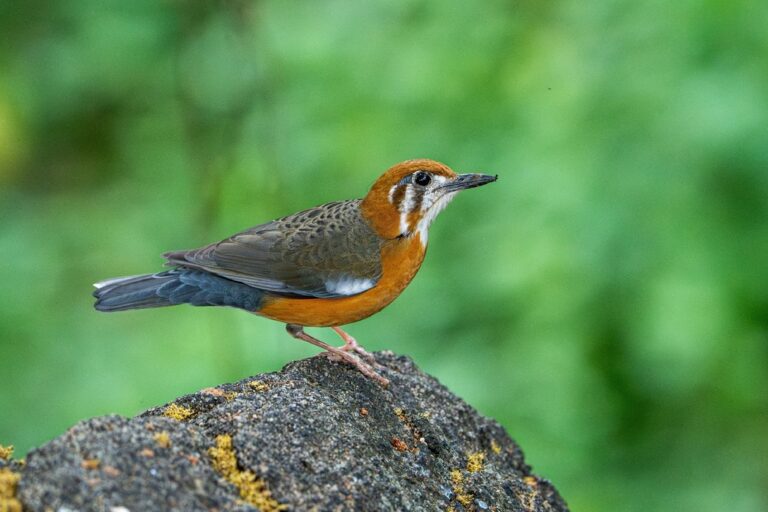
Geokichla citrina
♥
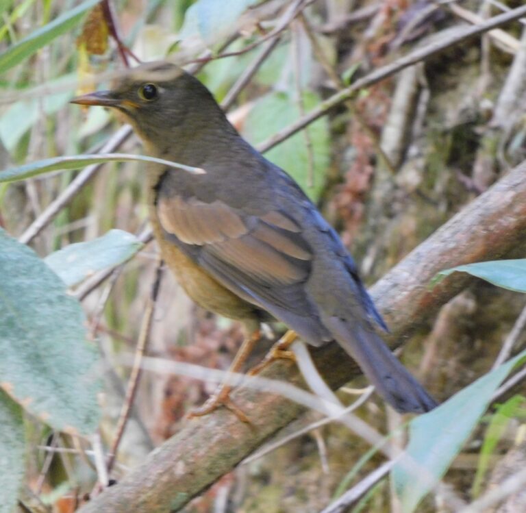
Turdus boulboul
♥
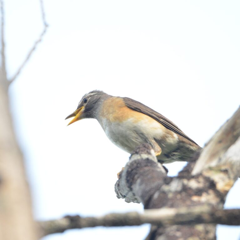
Turdus obscurus
♥
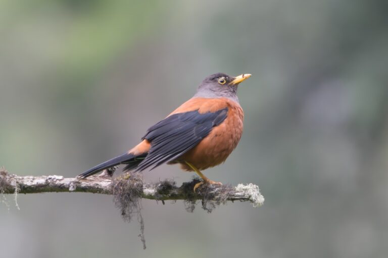
Turdus rubrocanus
♥
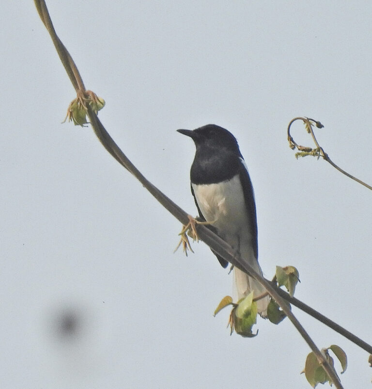
Copsychus saularis
♥
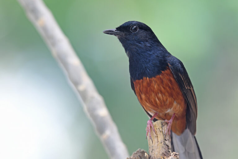
Copsychus malabaricus
♥
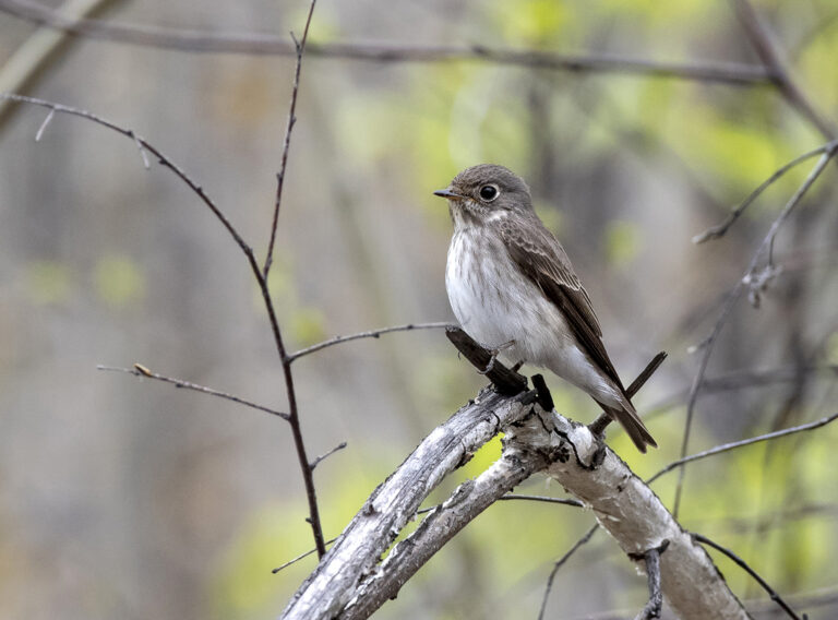
Muscicapa sibirica
♥
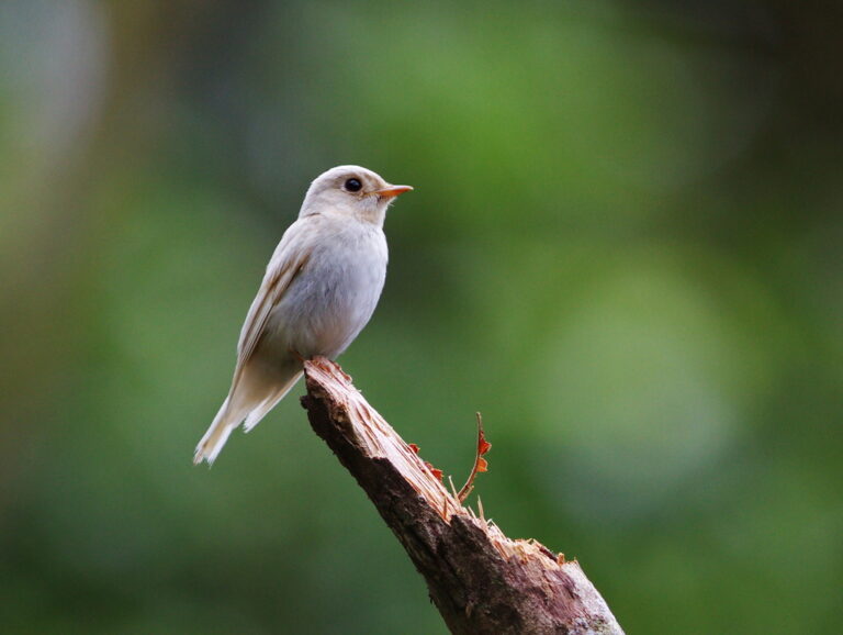
Muscicapa ferruginea
♥
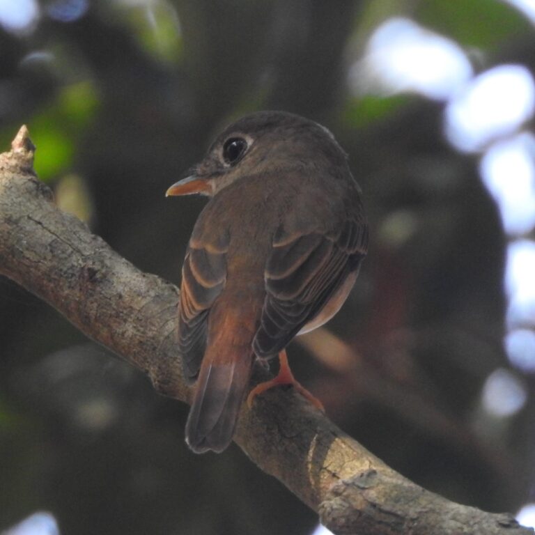
Muscicapa muttui
♥
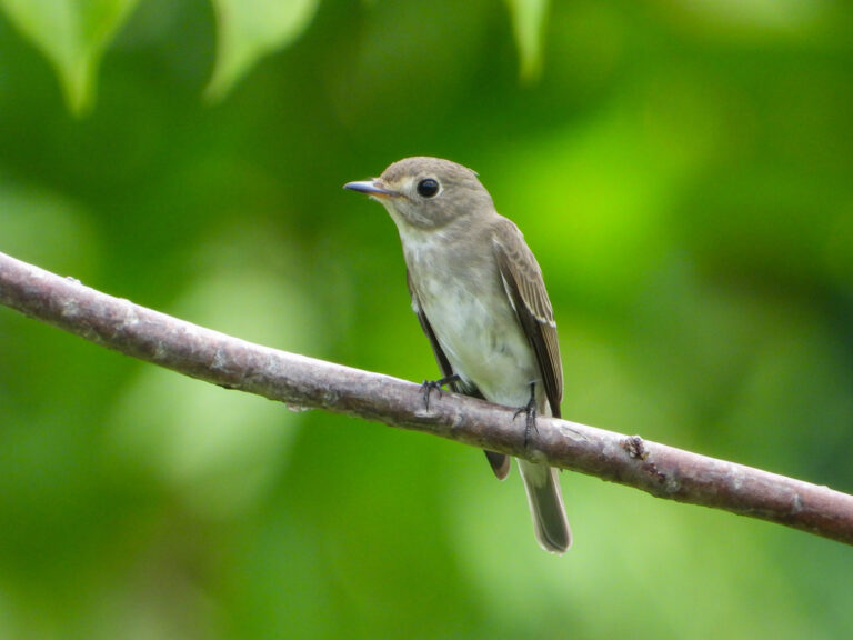
Muscicapa dauurica
♥
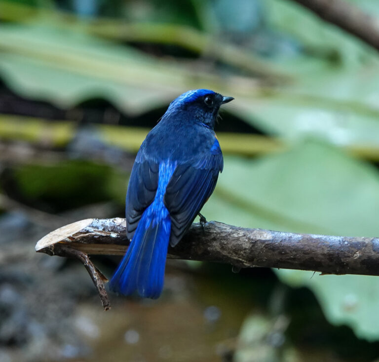
Niltava sundara
♥
Niltava oatesi
♥
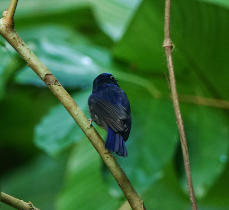
Niltava macgrigoriae
♥
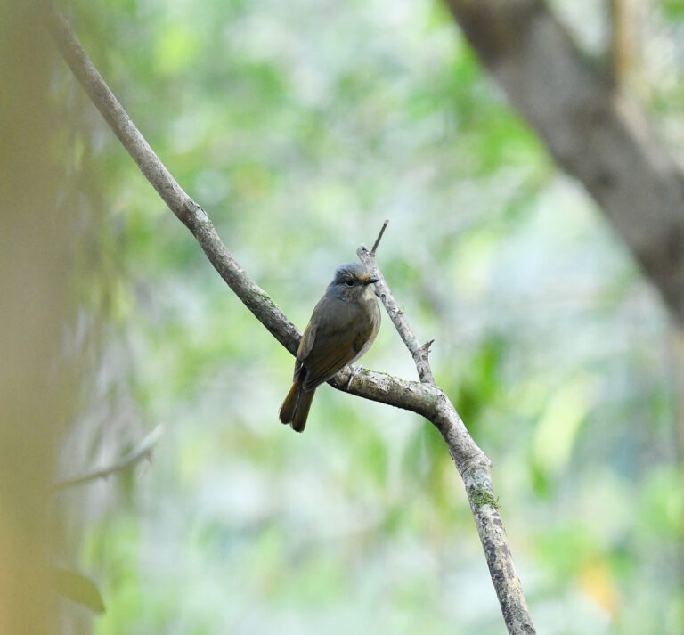
Niltava grandis
♥
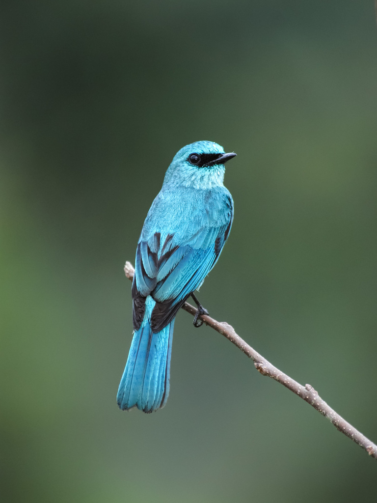
Eumyias thalassinus
♥
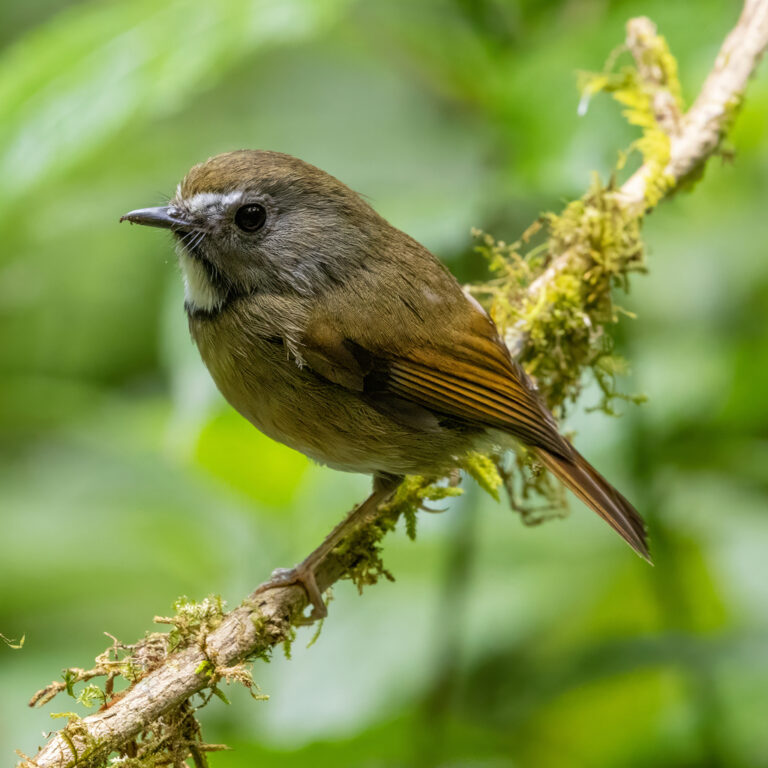
Anthipes monileger
♥
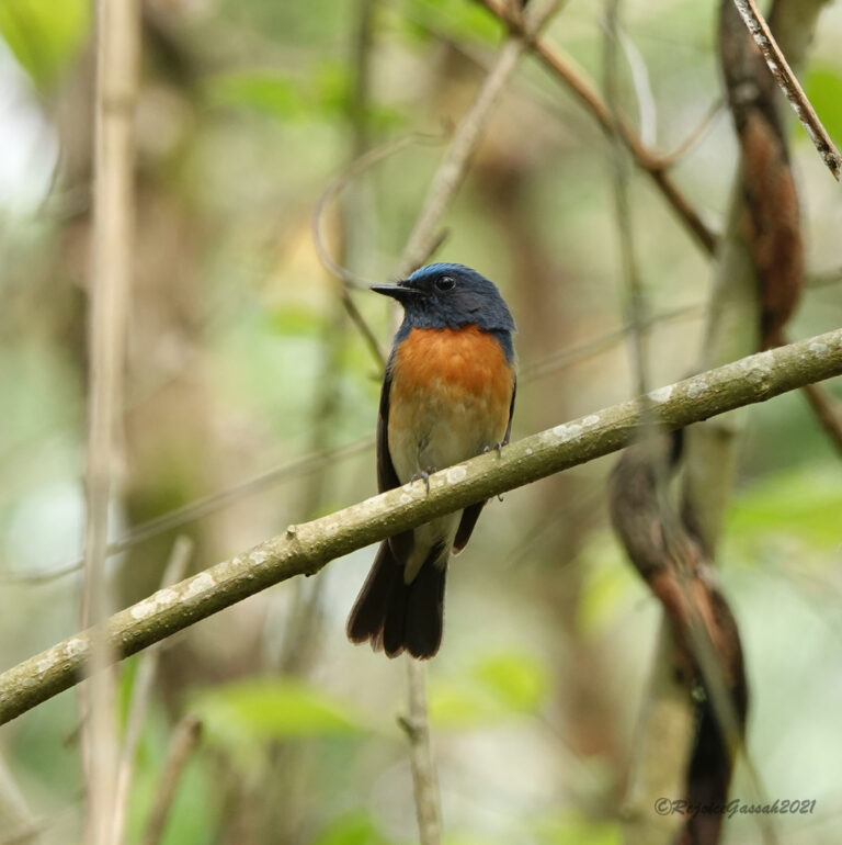
Cyornis rubeculoides
♥
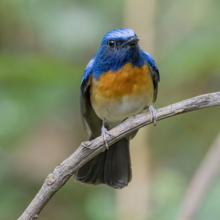
Cyornis hainanus
♥
Cyornis sumatrensis
♥
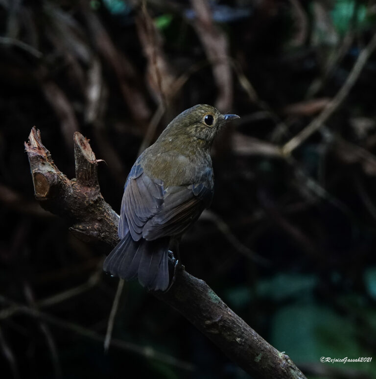
Myiomela leucura
♥
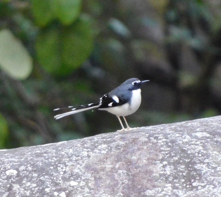
Enicurus schistaceus
♥
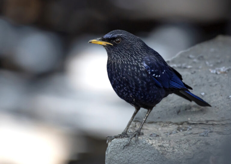
Myophonus caeruleus
♥
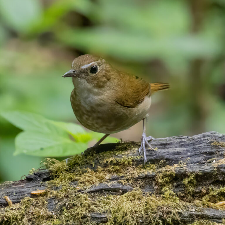
Brachypteryx leucophris
♥
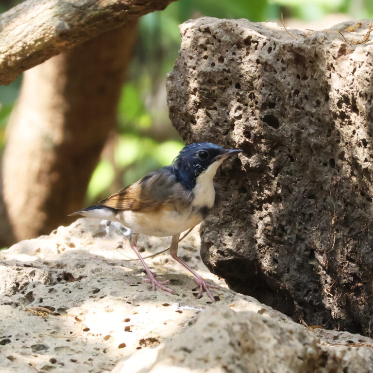
Larvivora cyane
♥
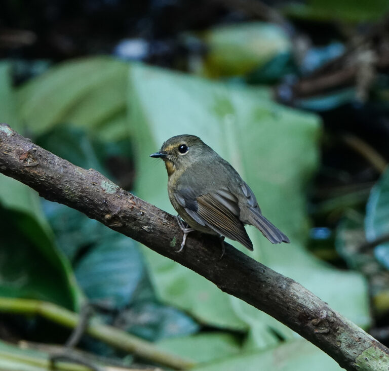
Ficedula hyperythra
♥
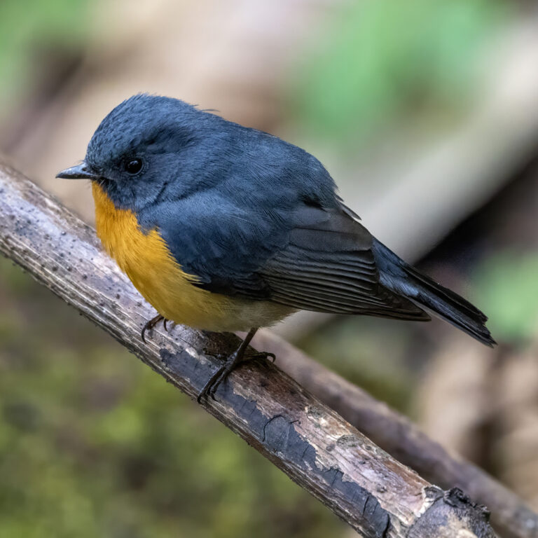
Ficedula erithacus
♥
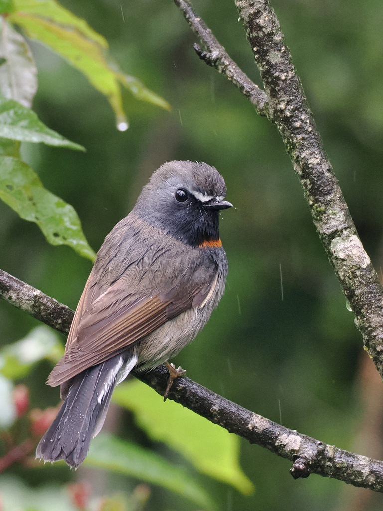
Ficedula strophiata
♥
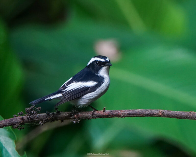
Ficedula westermanni
♥
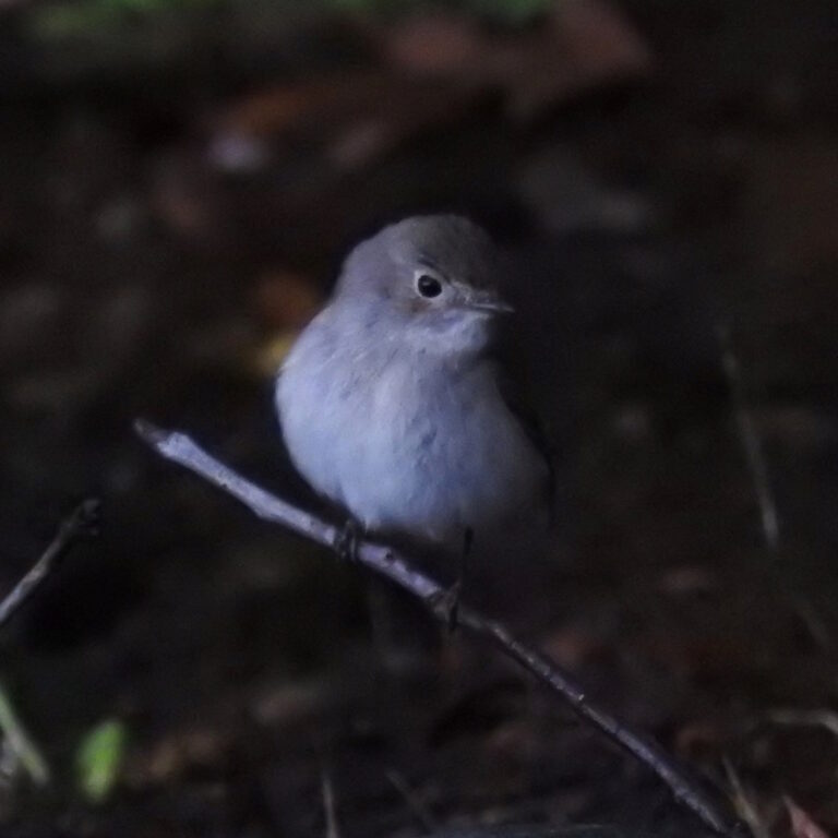
Ficedula albicilla
♥
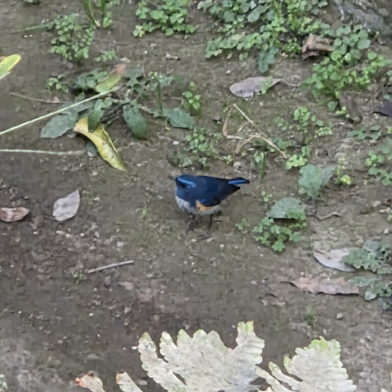
Tarsiger rufilatus
♥
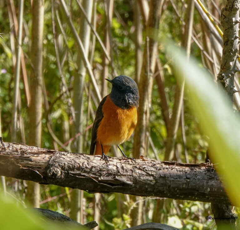
Phoenicurus frontalis
♥
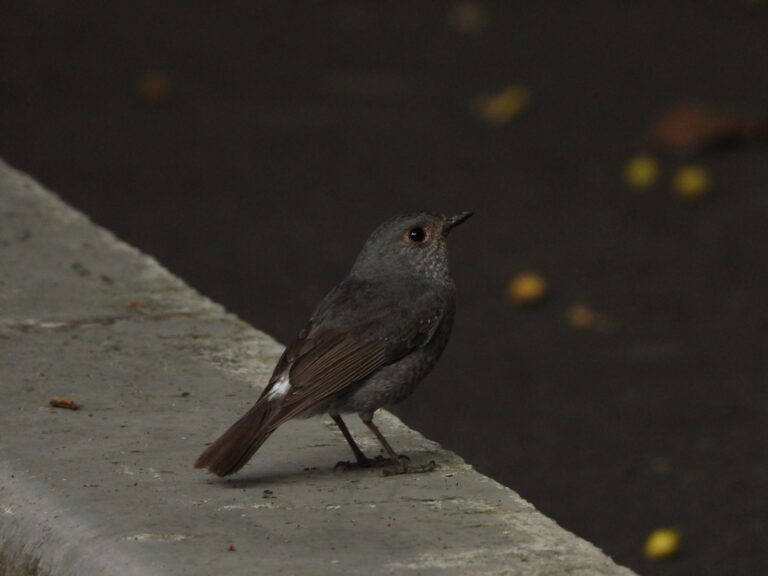
Phoenicurus fuliginosus
♥
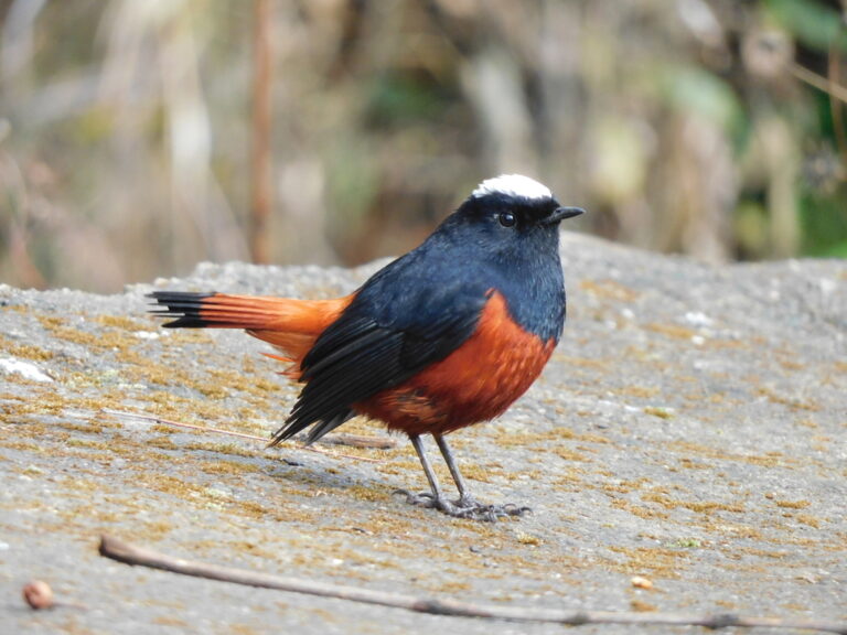
Phoenicurus leucocephalus
♥
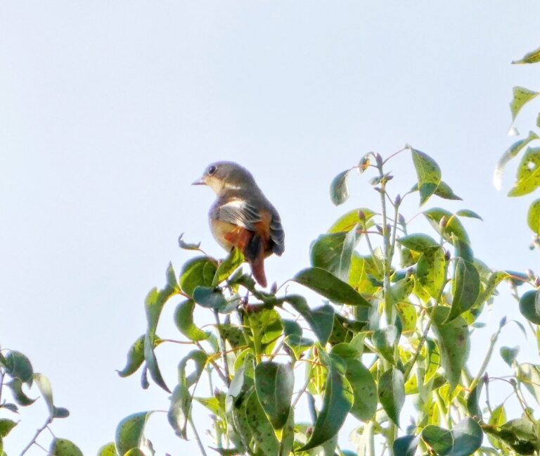
Phoenicurus auroreus
♥
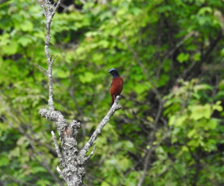
Monticola rufiventris
♥
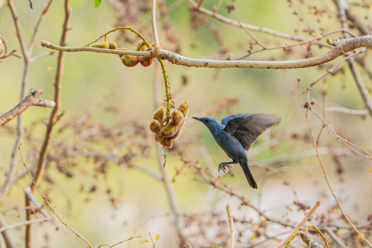
Monticola solitarius
♥
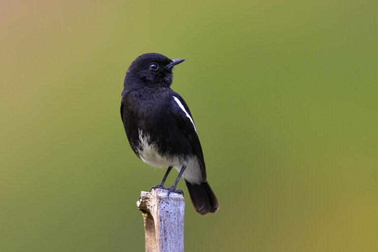
Saxicola caprata
♥
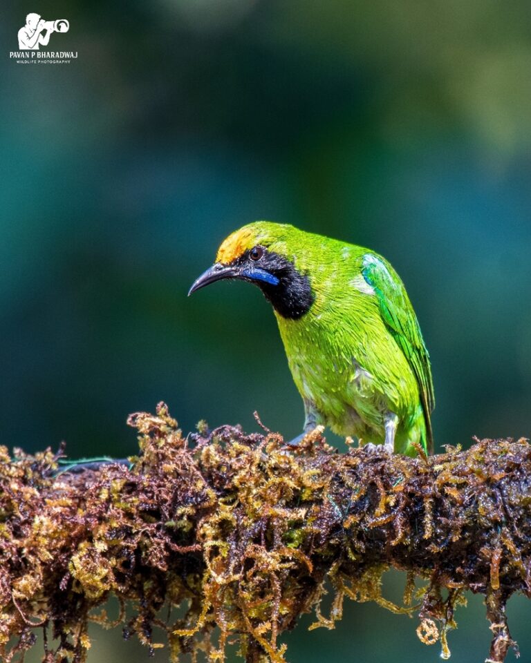
Chloropsis aurifrons
♥
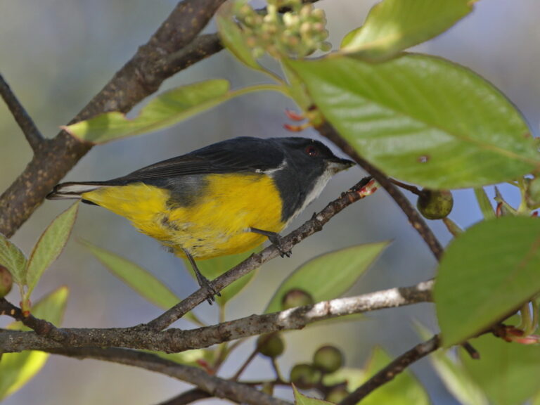
Pachyglossa melanozantha
♥
Pachyglossa agilis
♥
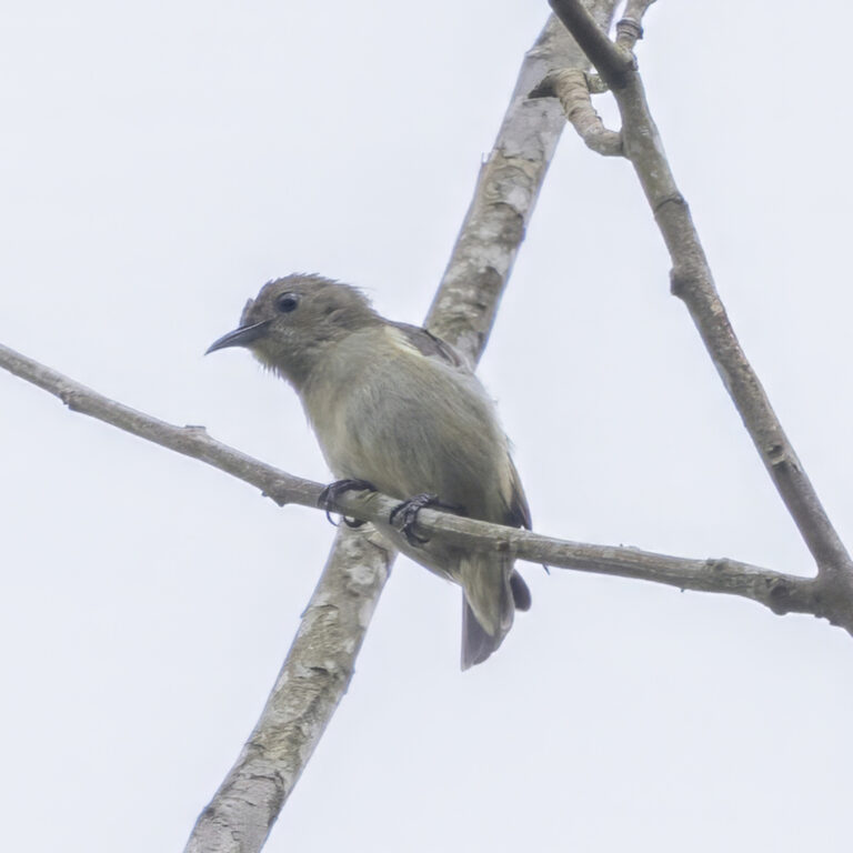
Dicaeum minullum
♥
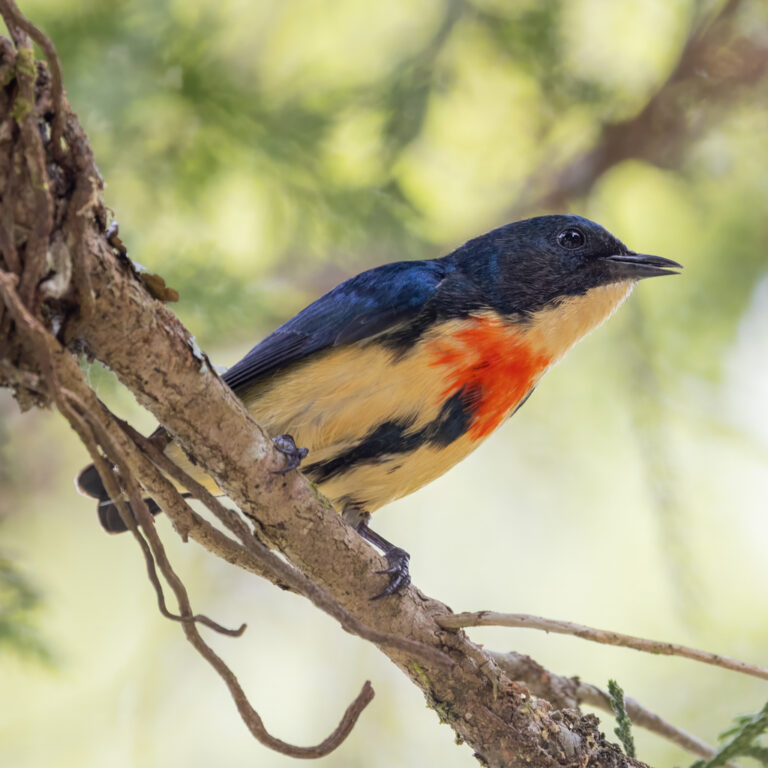
Dicaeum ignipectus
♥
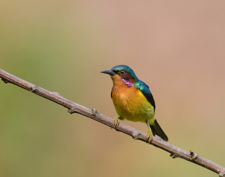
Chalcoparia singalensis
♥
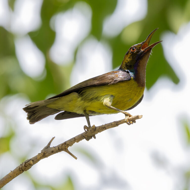
Anthreptes malacensis
♥
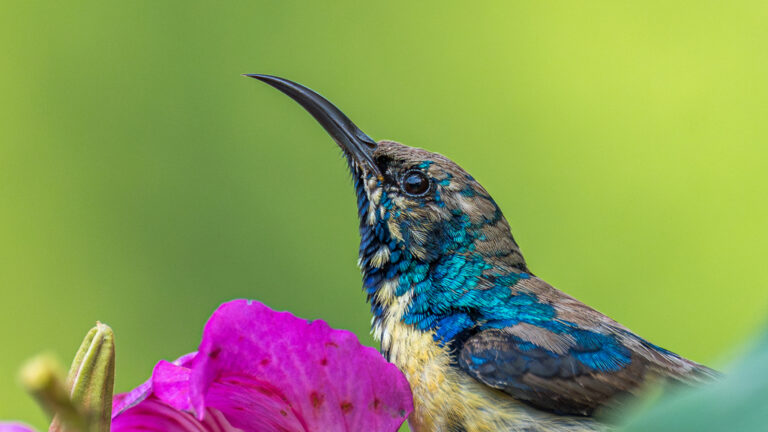
Cinnyris asiaticus
♥
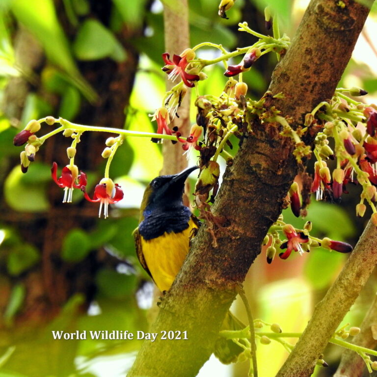
Cinnyris ornatus
♥
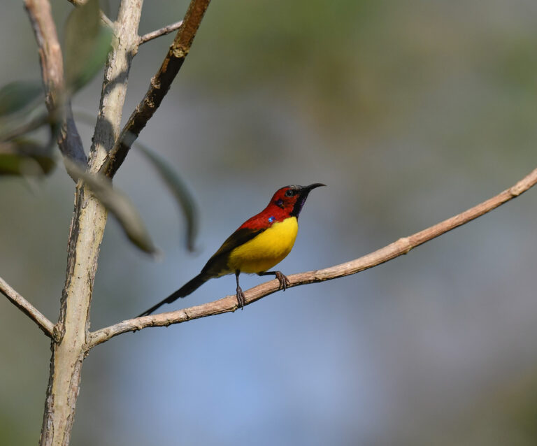
Aethopyga gouldiae
♥
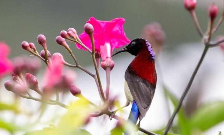
Aethopyga saturata
♥
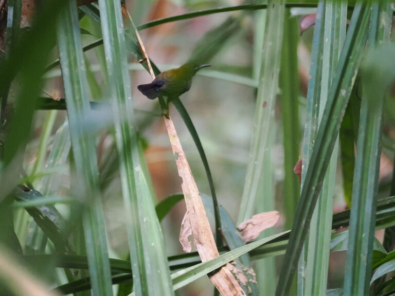
Kurochkinegramma hypogrammicum
♥
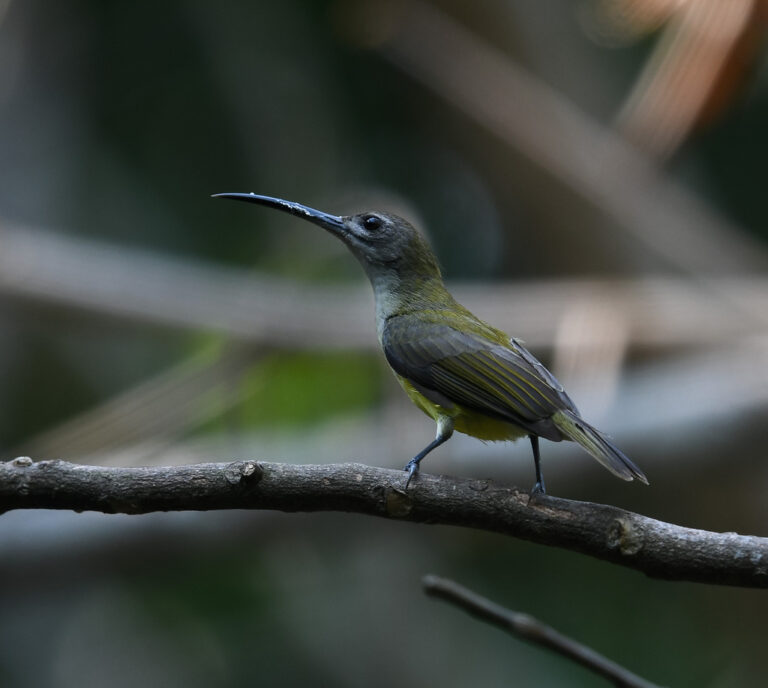
Arachnothera longirostra
♥
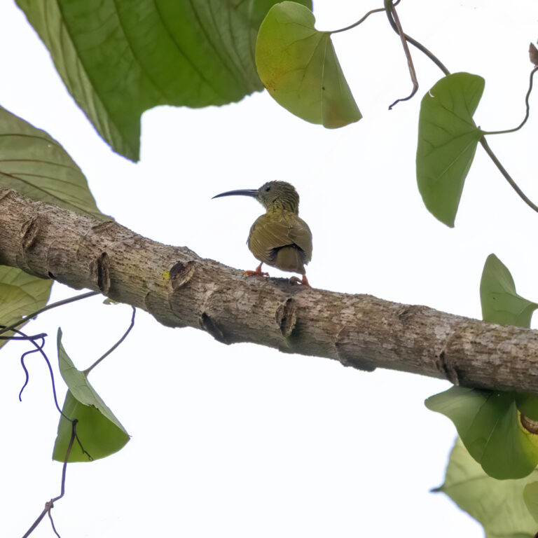
Arachnothera magna
♥
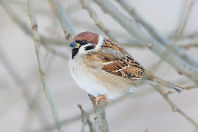
Passer montanus
♥
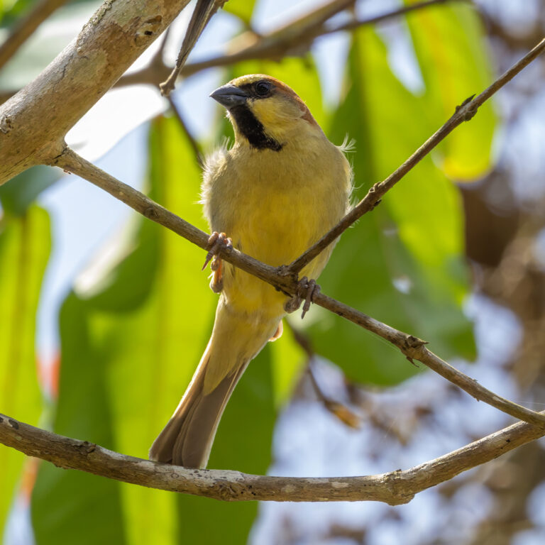
Passer flaveolus
♥
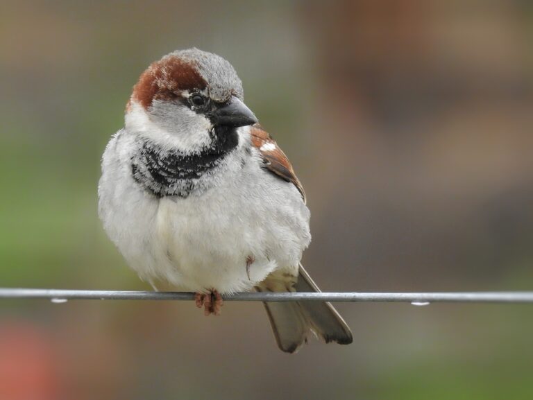
Passer domesticus
♥
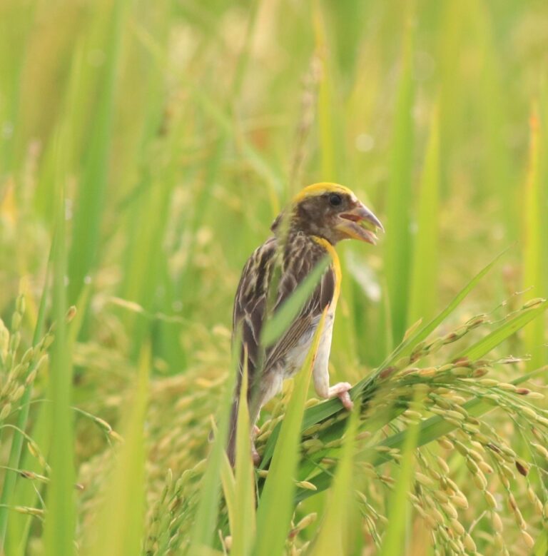
Ploceus philippinus
♥
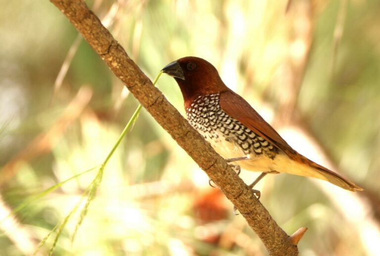
Lonchura punctulata
♥
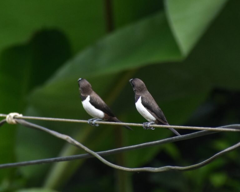
Lonchura striata
♥
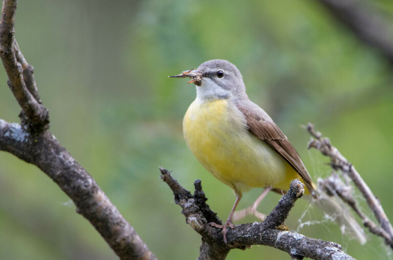
Motacilla cinerea
♥
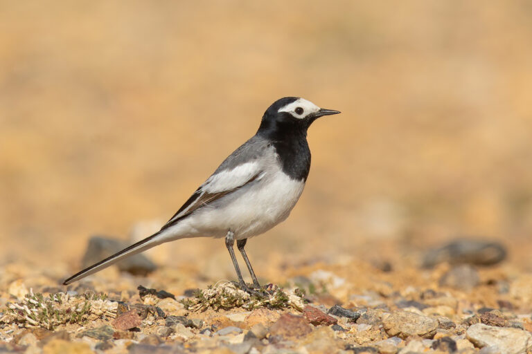
Motacilla alba
♥
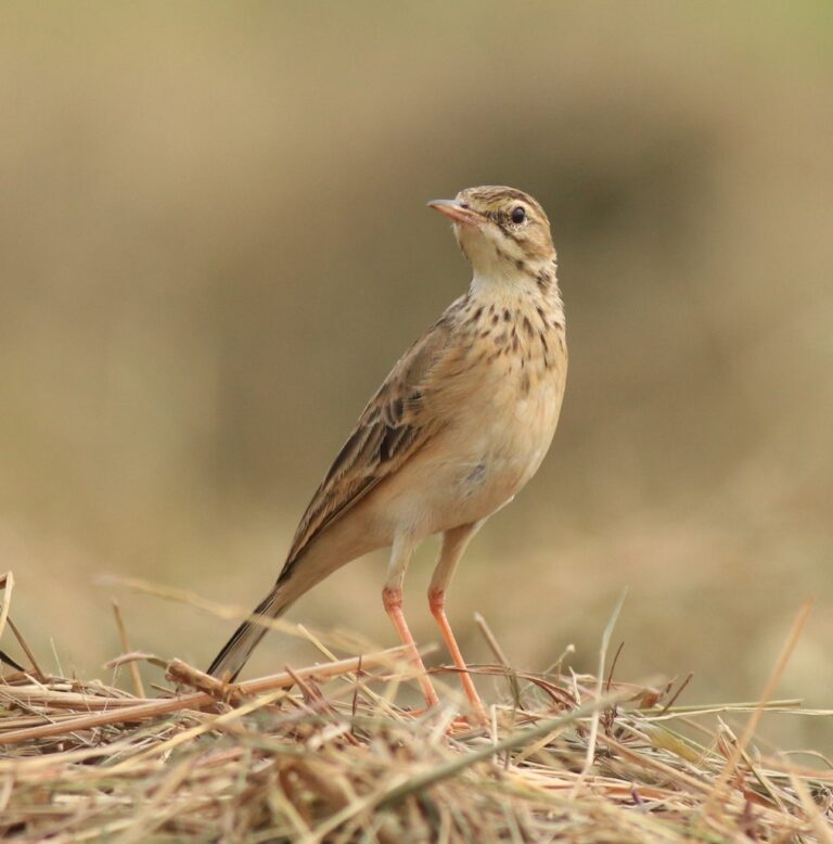
Anthus rufulus
♥
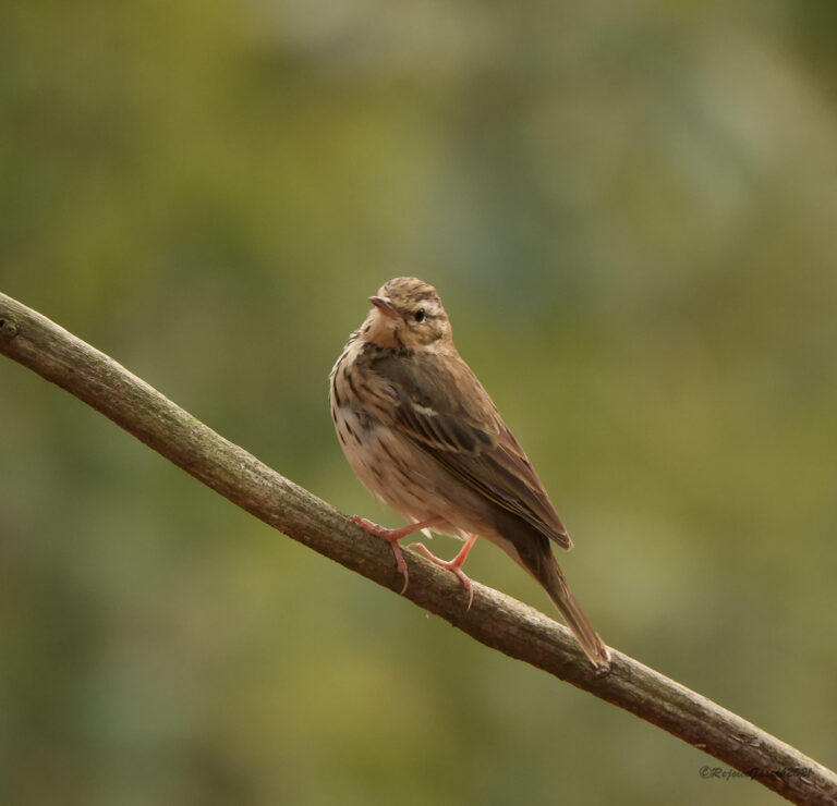
Anthus hodgsoni
♥
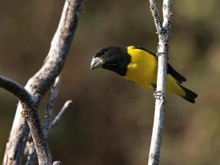
Mycerobas melanozanthos
♥
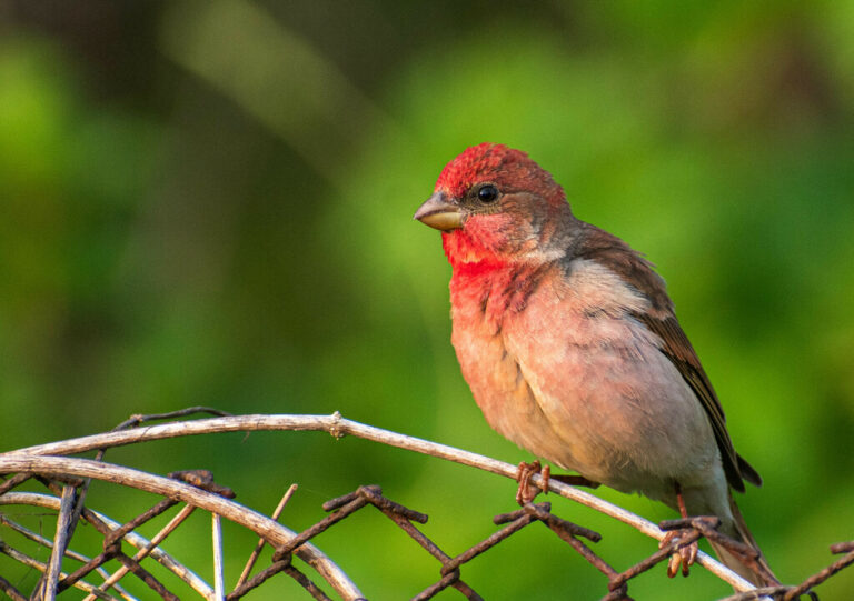
Carpodacus erythrinus
♥
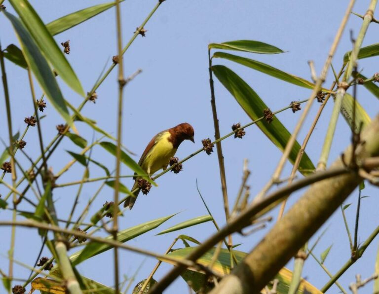
Emberiza rutila
♥
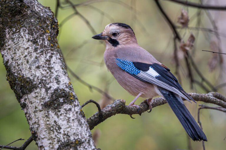
Garrulus glandarius
♥
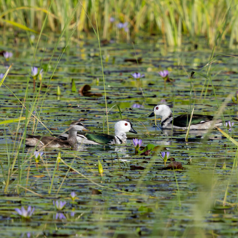
Nettapus coromandelianus
♥
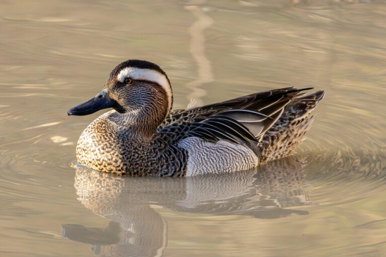
Spatula querquedula
♥
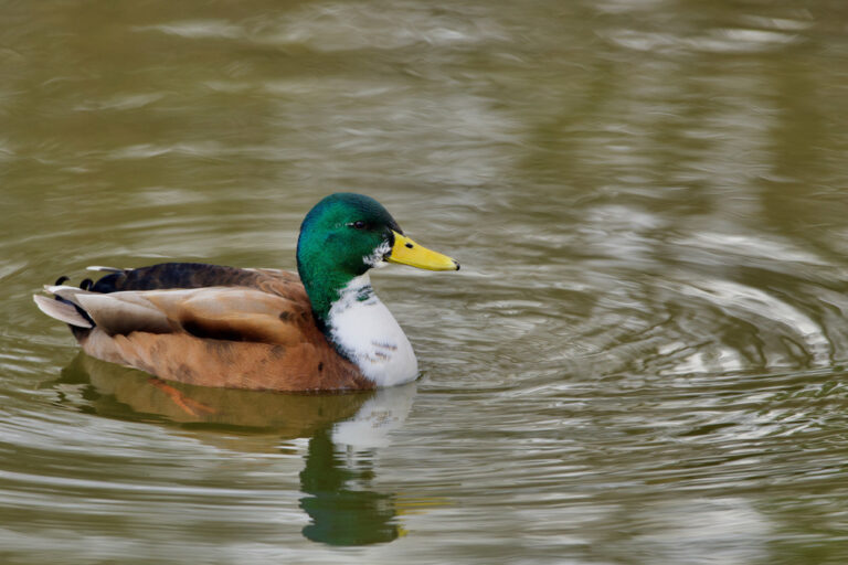
Anas platyrhynchos
♥
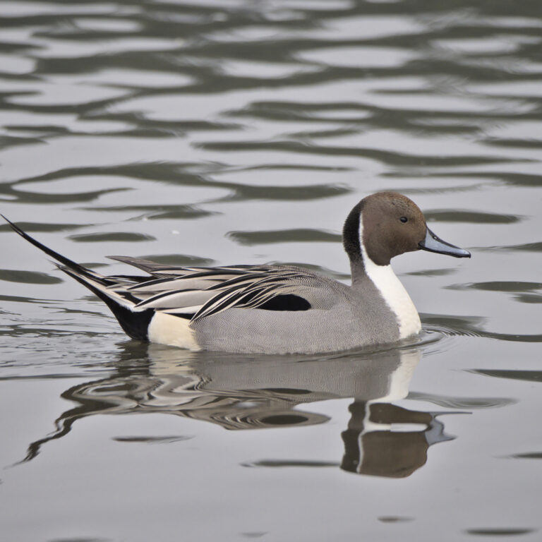
Anas acuta
♥
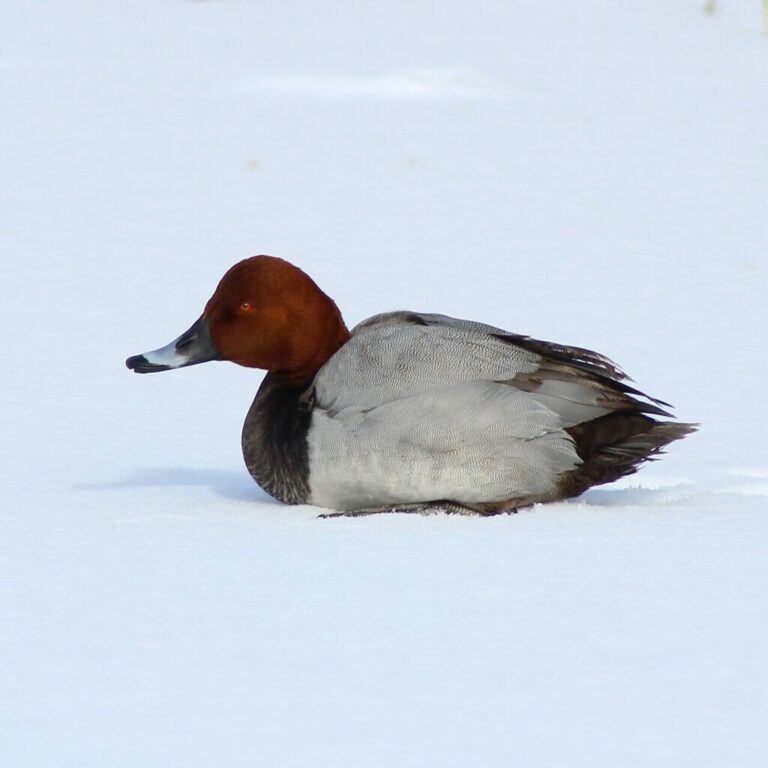
Aythya ferina
♥
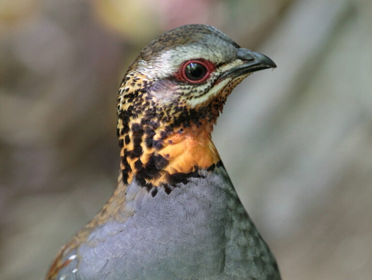
Arborophila rufogularis
♥
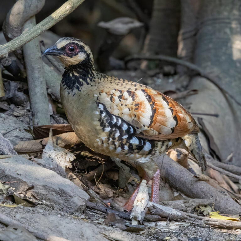
Arborophila brunneopectus
♥
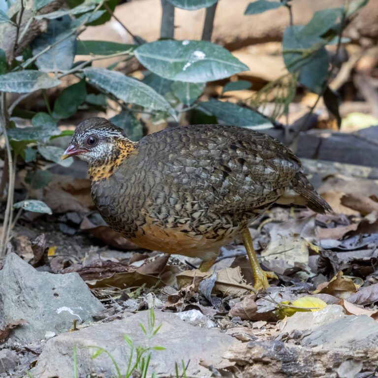
Tropicoperdix chloropus
♥
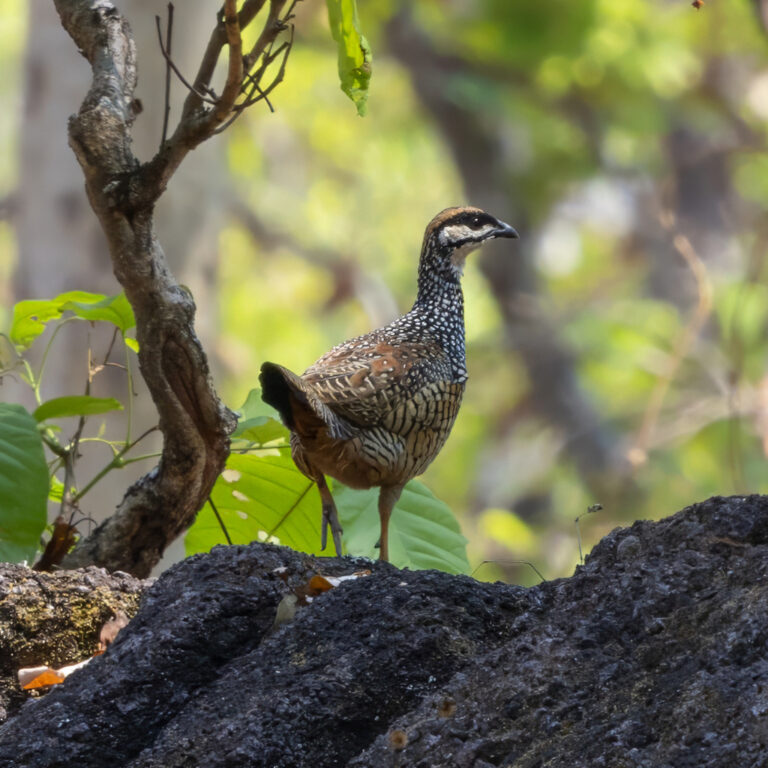
Francolinus pintadeanus
♥
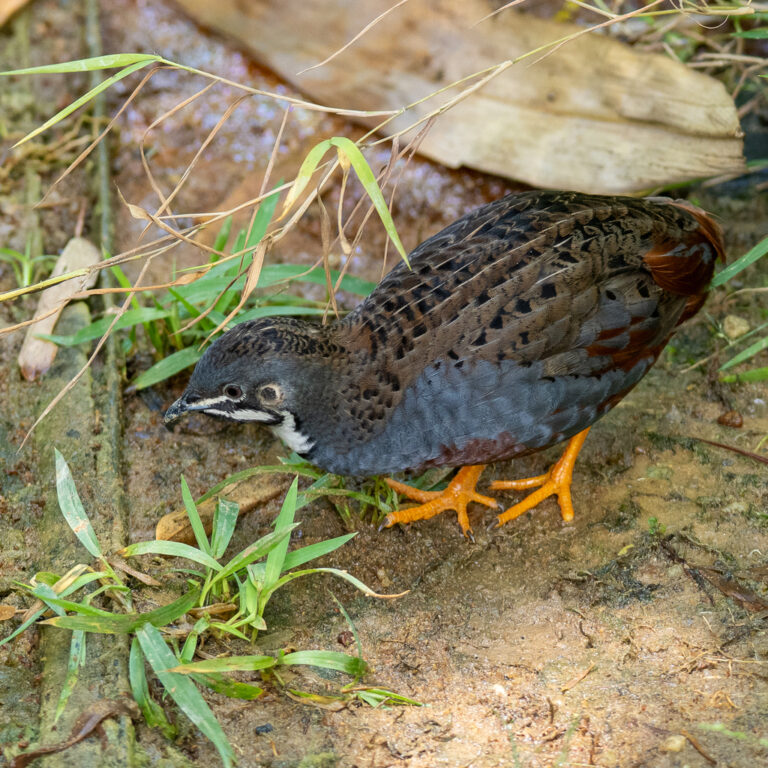
Synoicus chinensis
♥
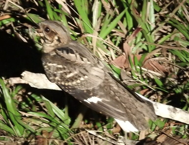
Caprimulgus macrurus
♥
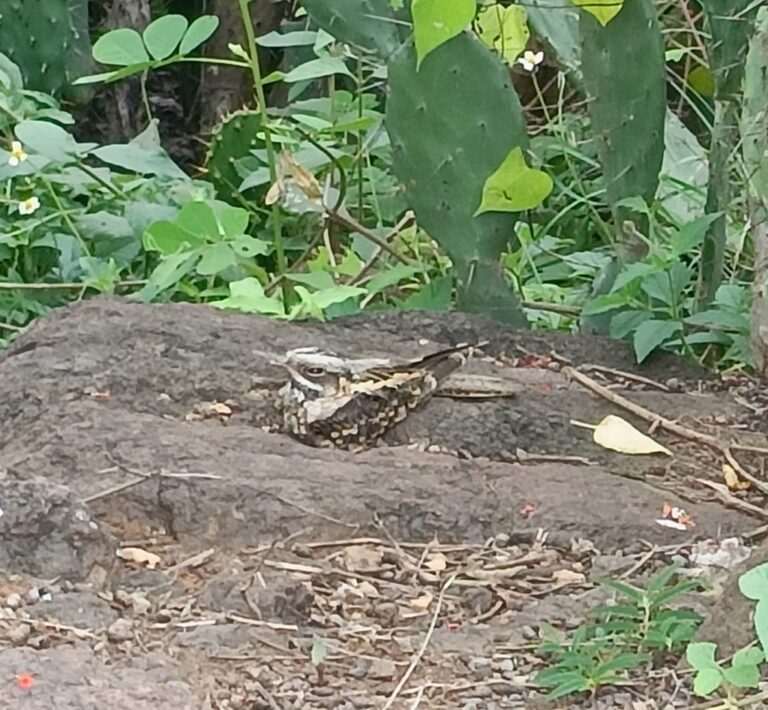
Caprimulgus asiaticus
♥
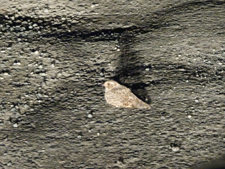
Caprimulgus affinis
♥
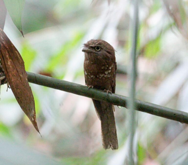
Batrachostomus affinis
♥
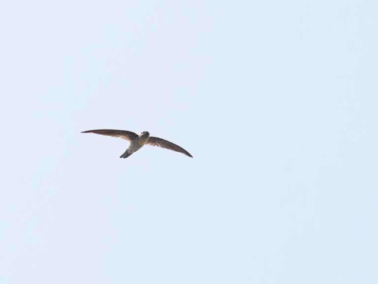
Aerodramus fuciphagus
♥
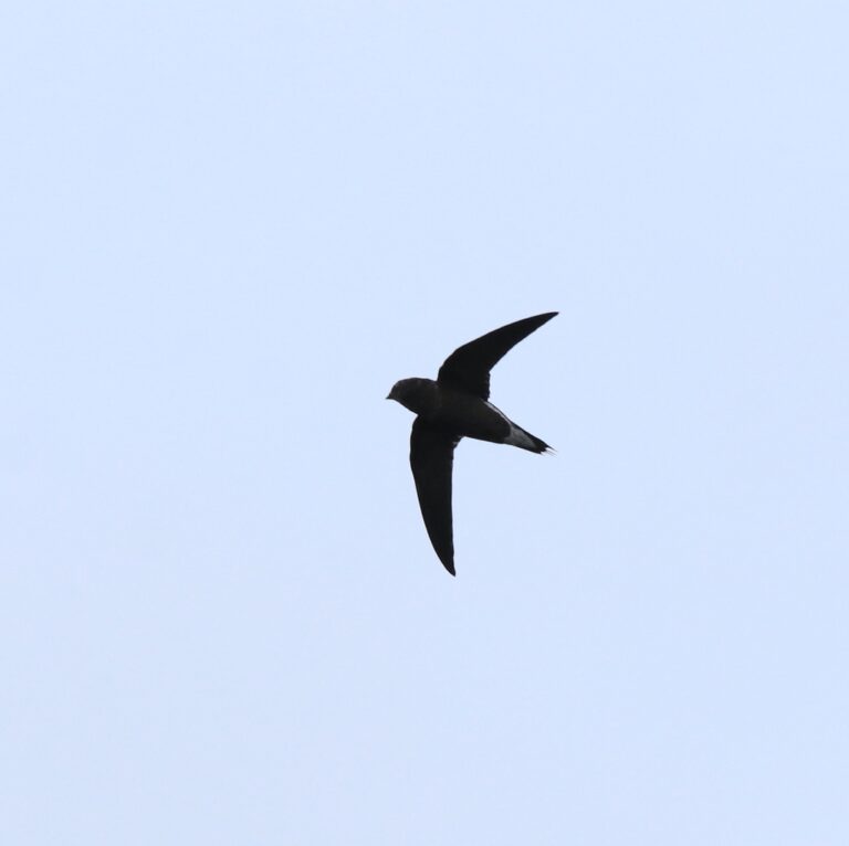
Hirundapus giganteus
♥
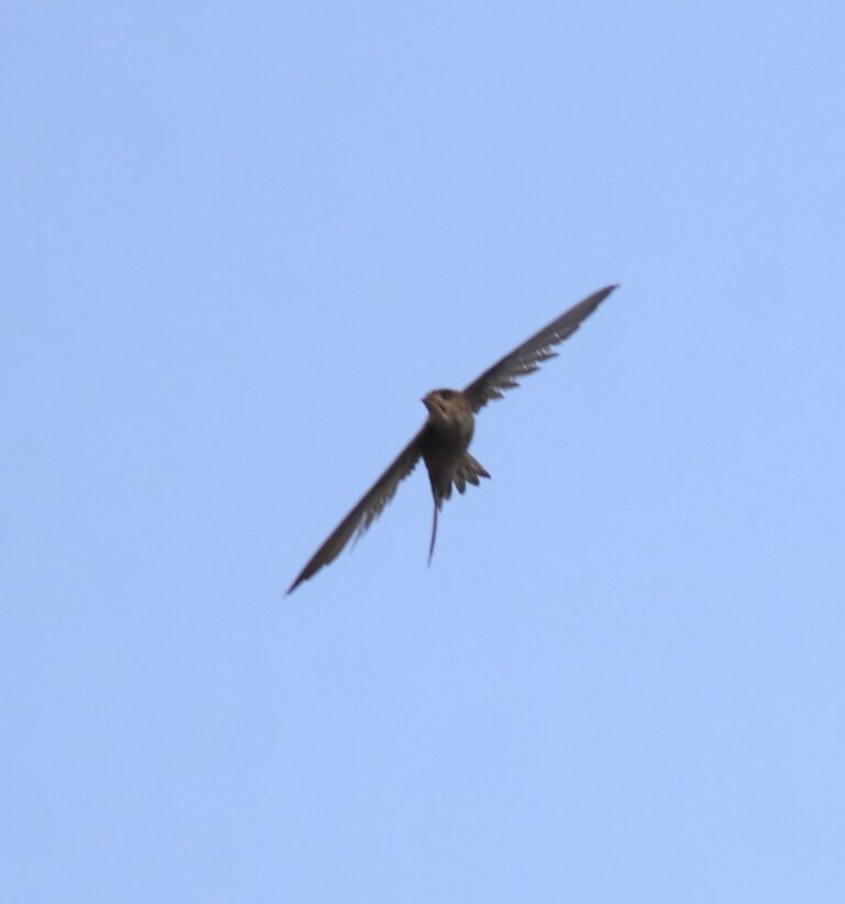
Cypsiurus balasiensis
♥
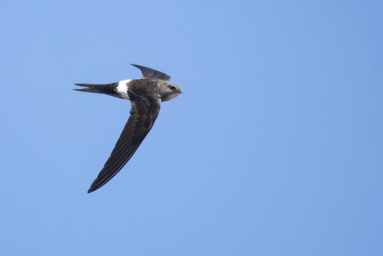
Apus pacificus
♥
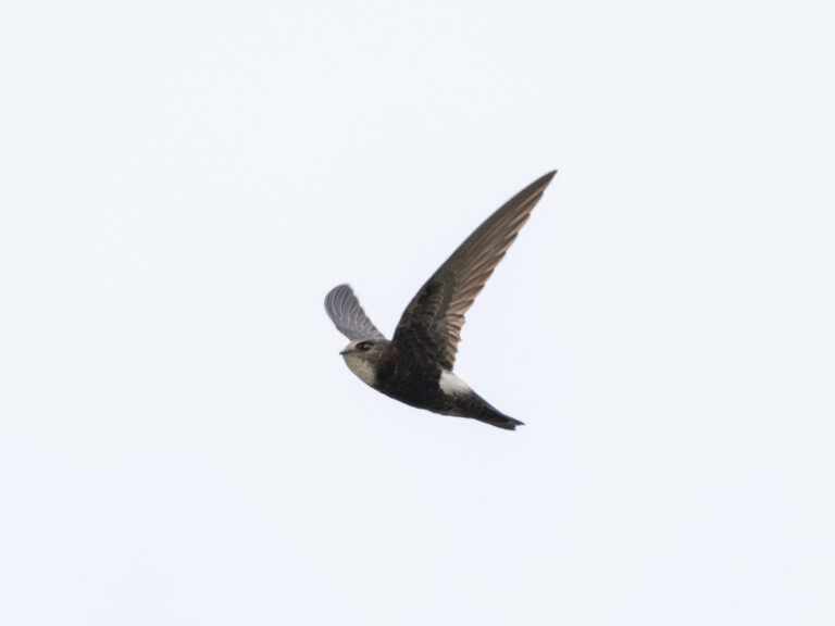
Apus nipalensis
♥
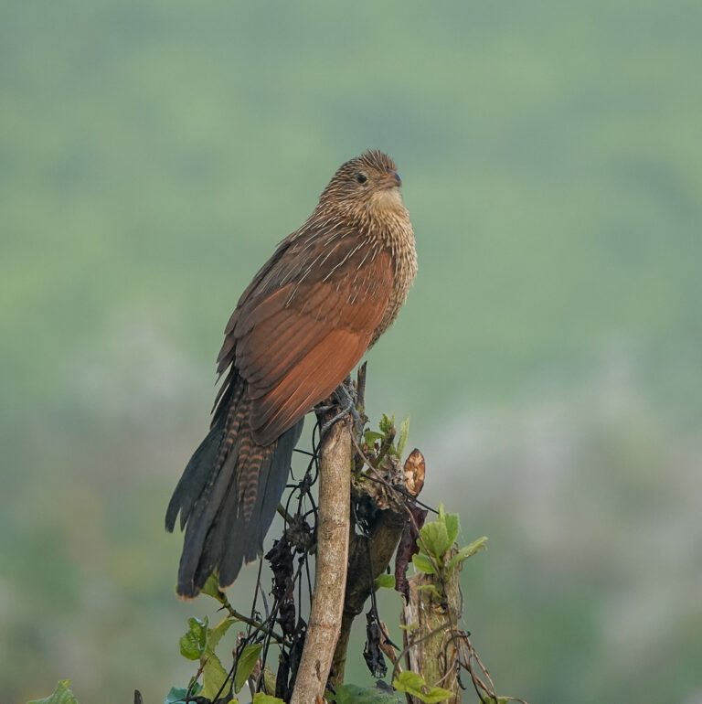
Centropus bengalensis
♥
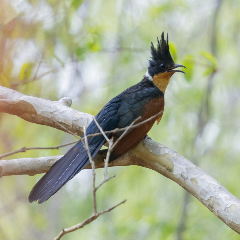
Clamator coromandus
♥
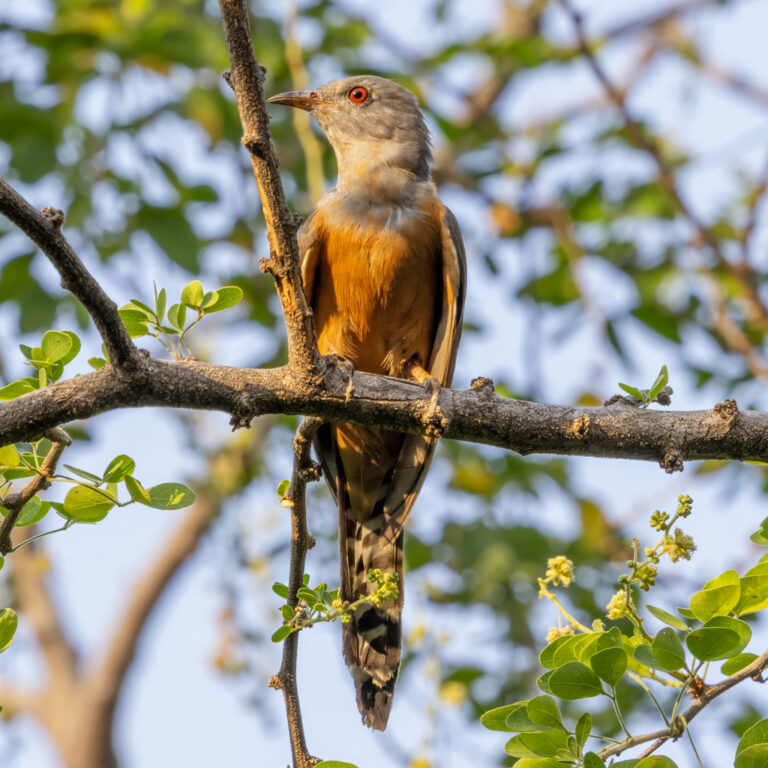
Cacomantis merulinus
♥
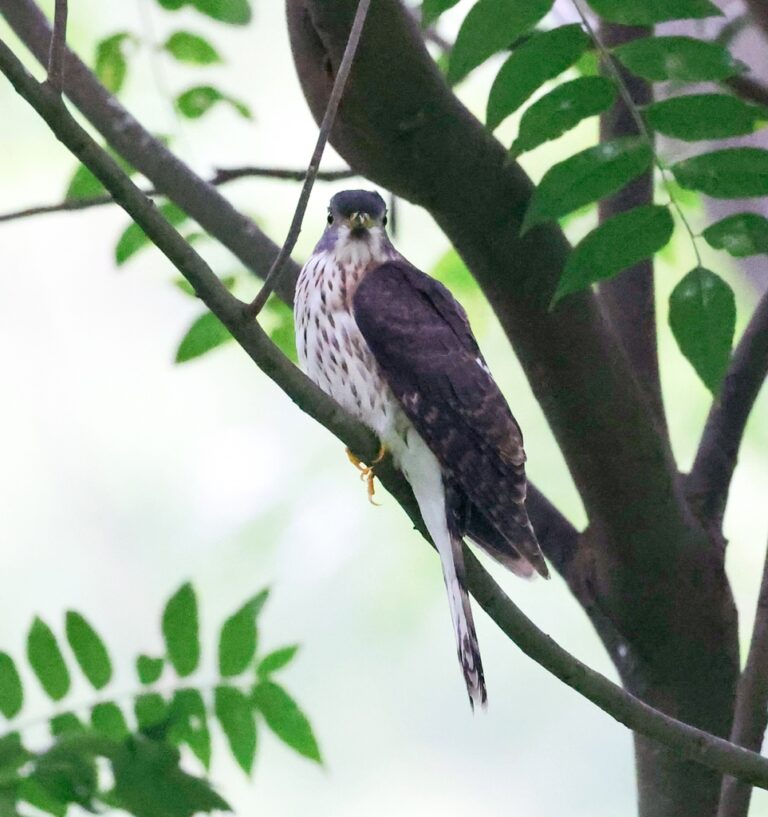
Hierococcyx nisicolor
♥
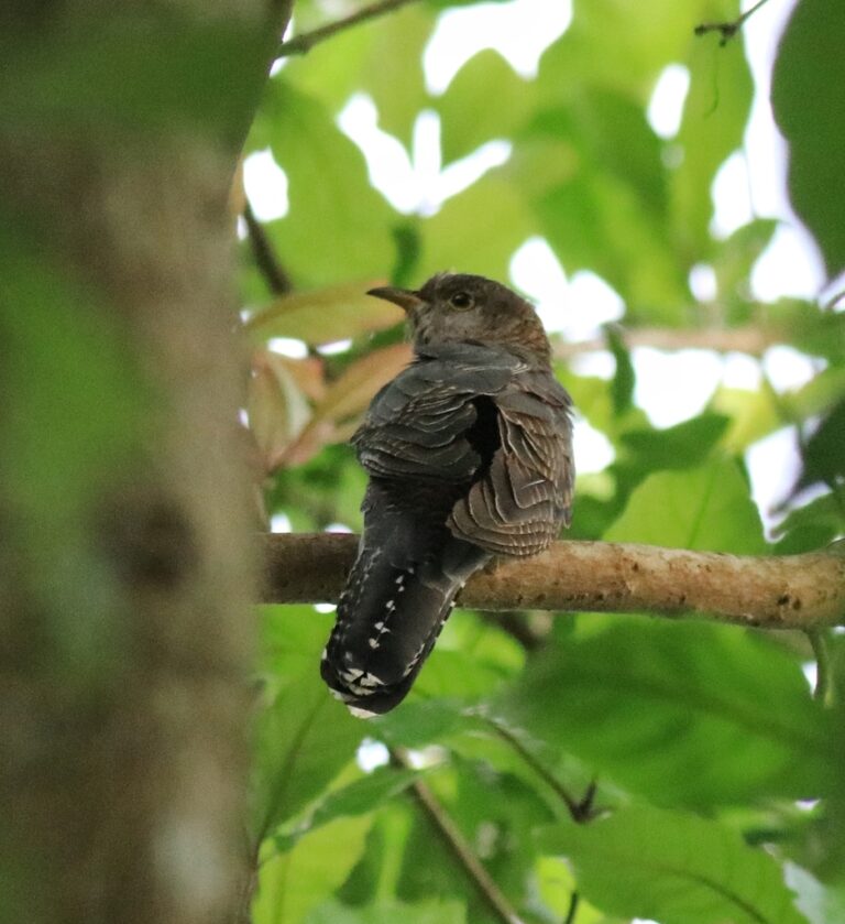
Cuculus poliocephalus
♥
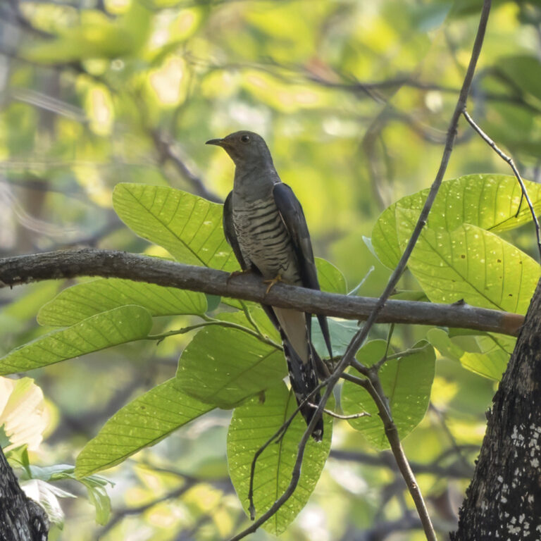
Cuculus saturatus
♥
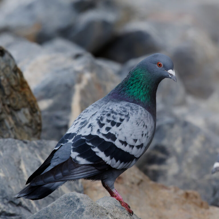
Columba livia
♥
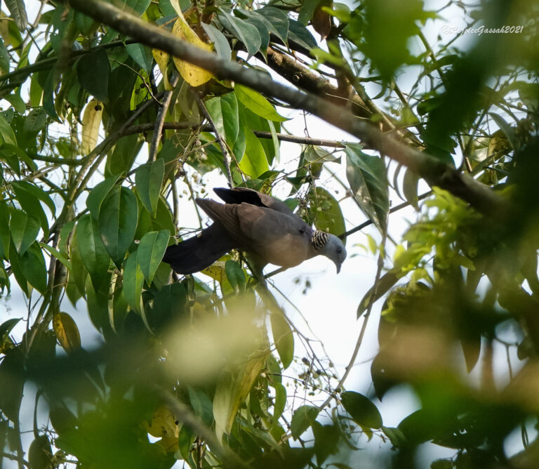
Columba pulchricollis
♥
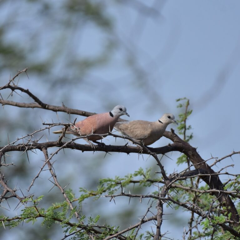
Streptopelia tranquebarica
♥
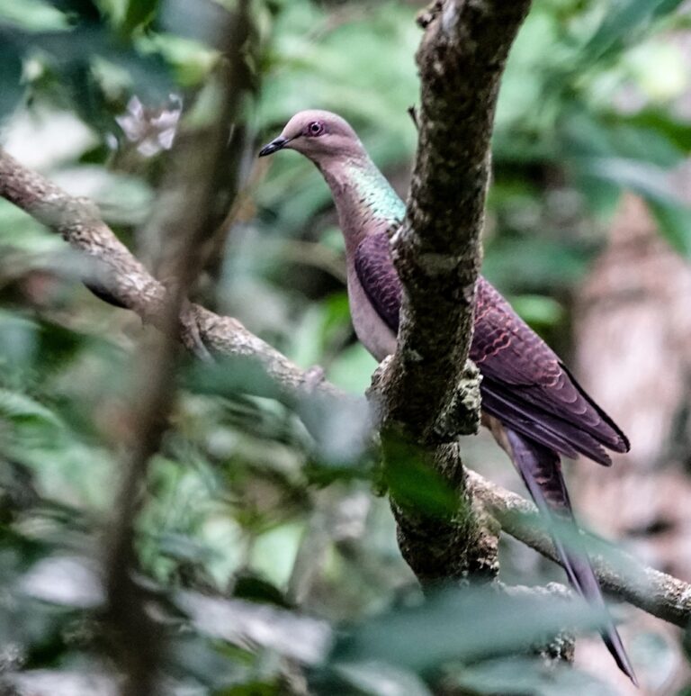
Macropygia unchall
♥
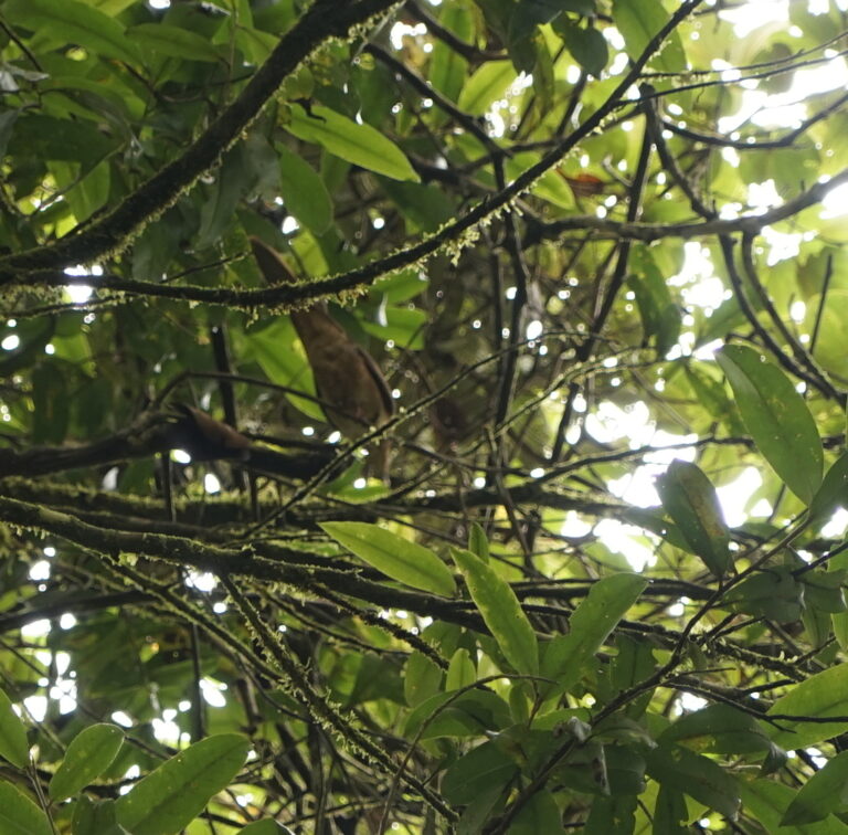
Macropygia ruficeps
♥
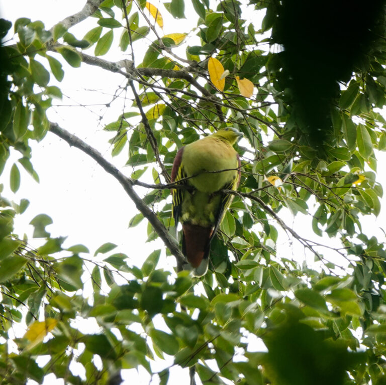
Treron phayrei
♥
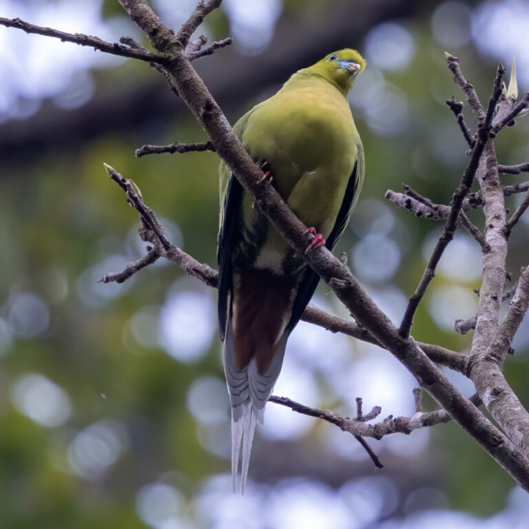
Treron apicauda
♥
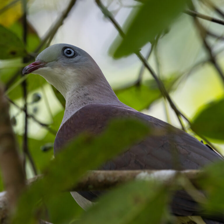
Ducula badia
♥
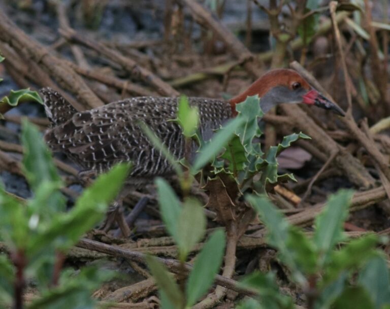
Lewinia striata
♥
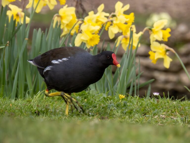
Gallinula chloropus
♥
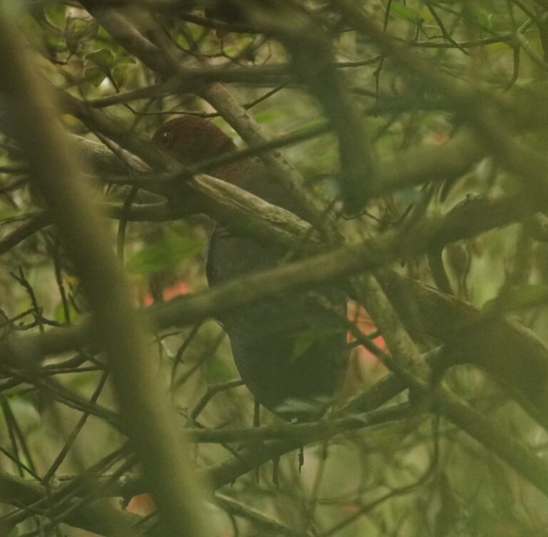
Rallina eurizonoides
♥
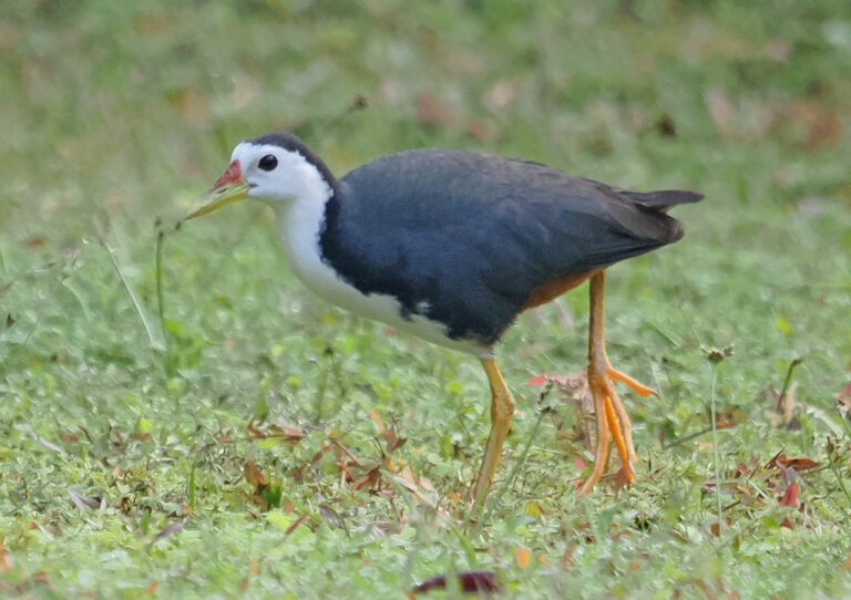
Amaurornis phoenicurus
♥
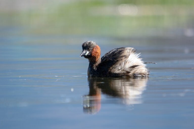
Tachybaptus ruficollis
♥
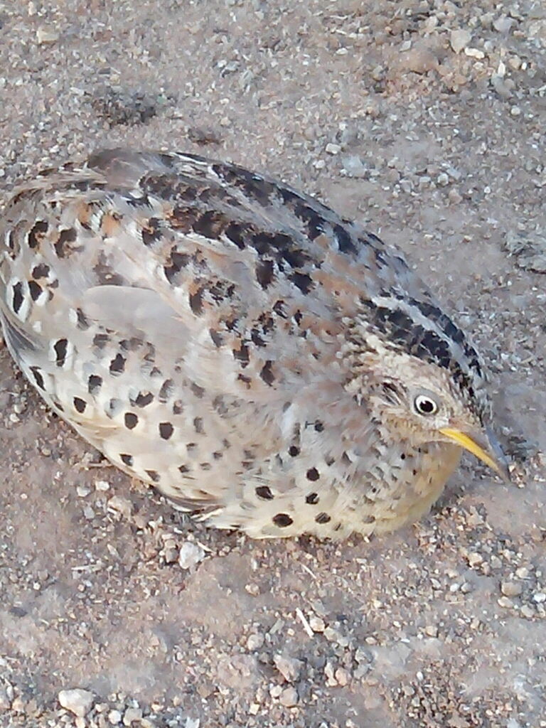
Turnix tanki
♥
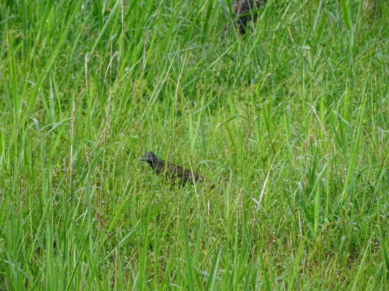
Turnix suscitator
♥
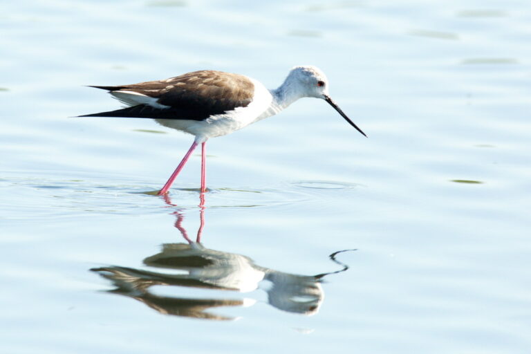
Himantopus himantopus
♥
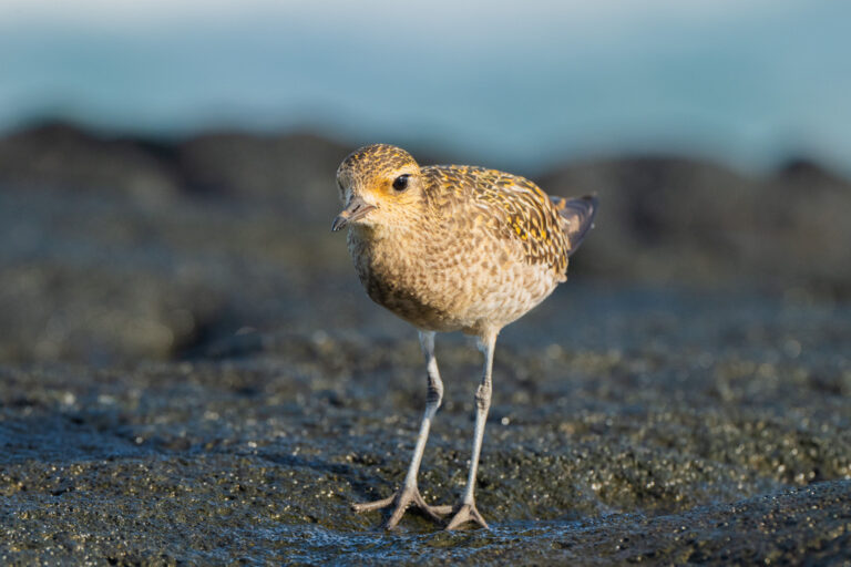
Pluvialis fulva
♥
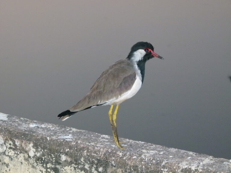
Vanellus indicus
♥
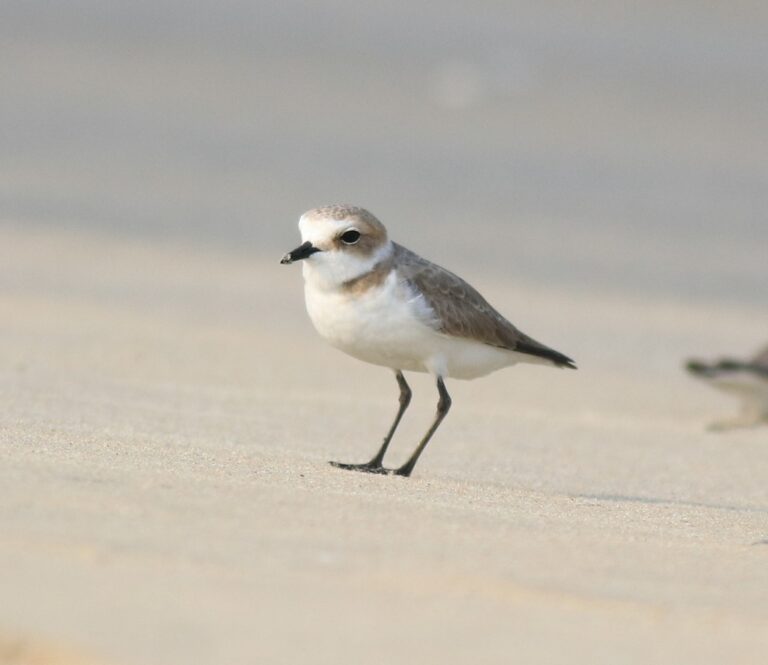
Anarhynchus alexandrinus
♥
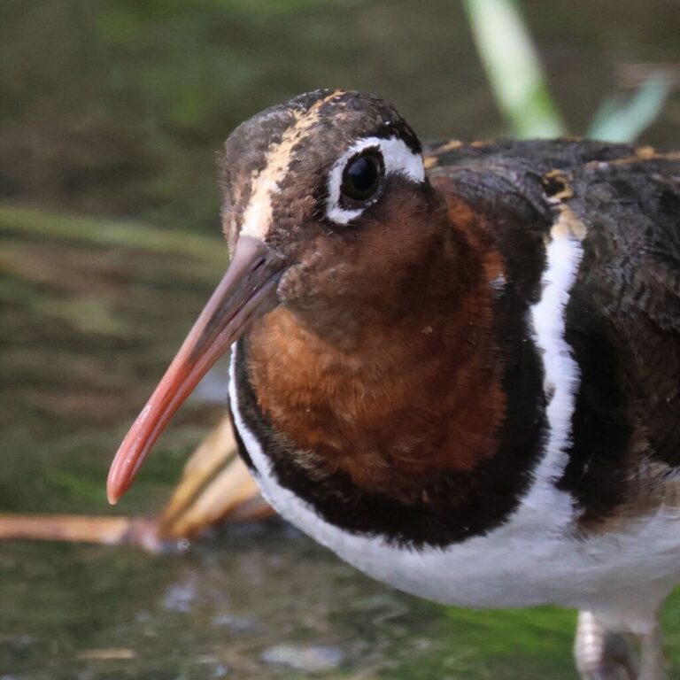
Rostratula benghalensis
♥
Hydrophasianus chirurgus
♥
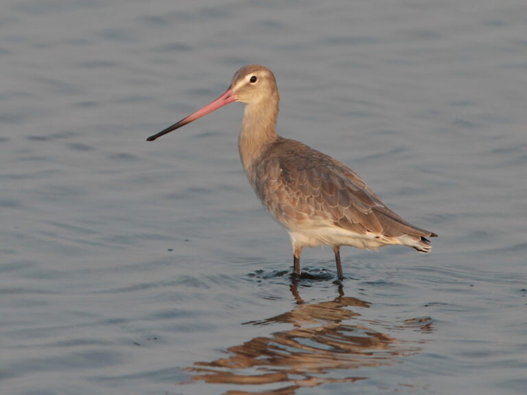
Limosa limosa
♥
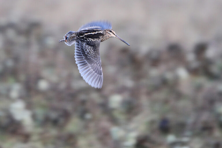
Gallinago nemoricola
♥
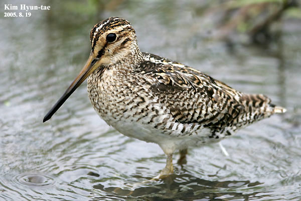
Gallinago stenura
♥
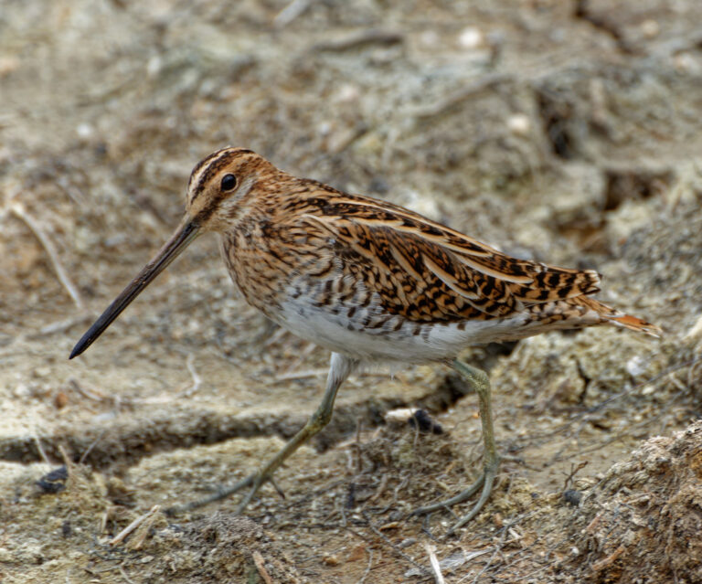
Gallinago gallinago
♥
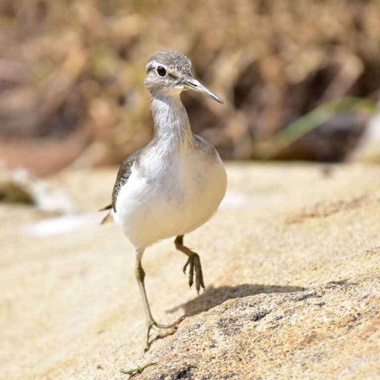
Actitis hypoleucos
♥
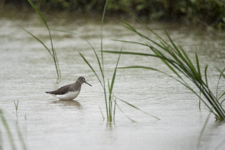
Tringa ochropus
♥
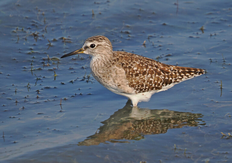
Tringa glareola
♥
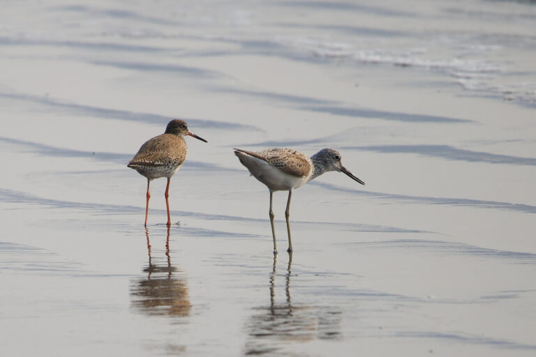
Tringa nebularia
♥
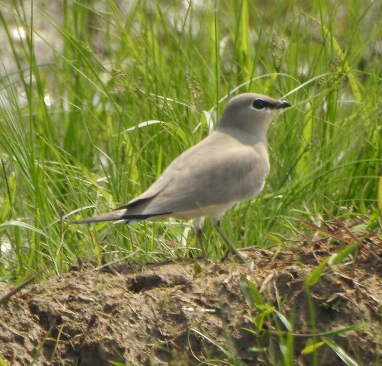
Glareola lactea
♥
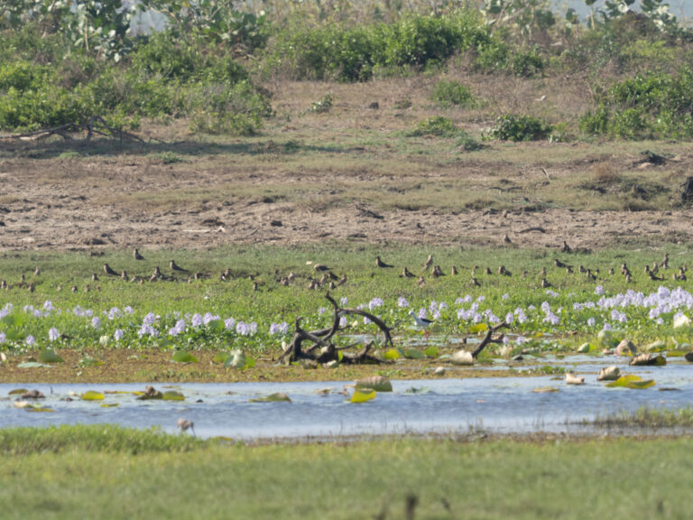
Glareola maldivarum
♥
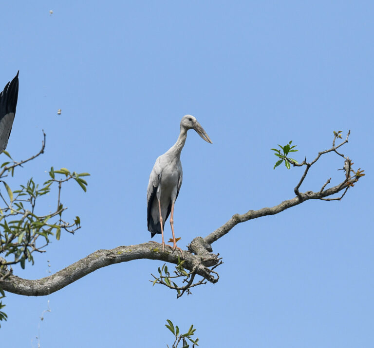
Anastomus oscitans
♥
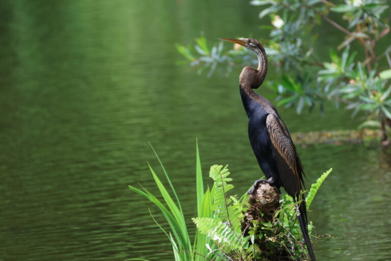
Anhinga melanogaster
♥
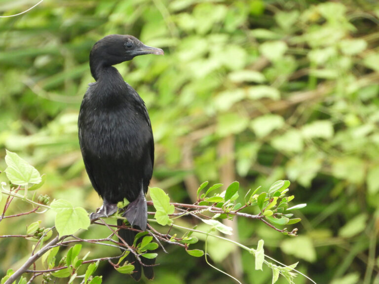
Microcarbo niger
♥
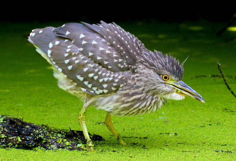
Nycticorax nycticorax
♥
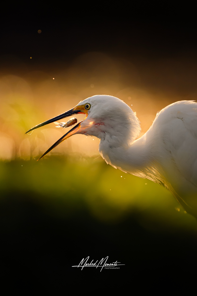
Egretta garzetta
♥
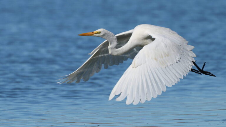
Ardea alba
♥
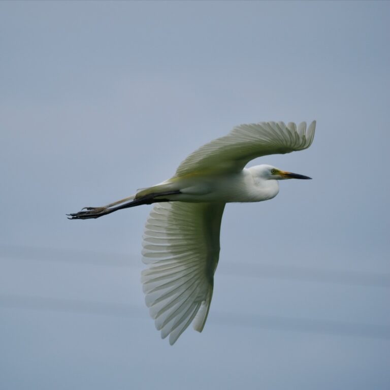
Ardea intermedia
♥
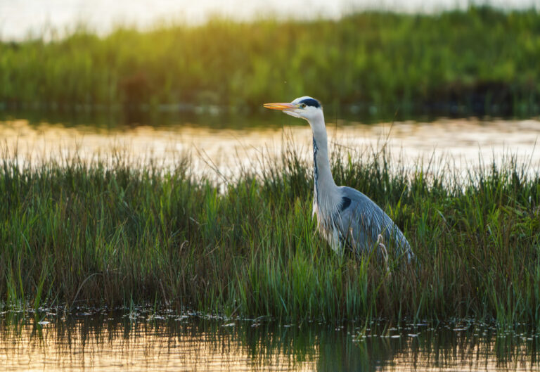
Ardea cinerea
♥
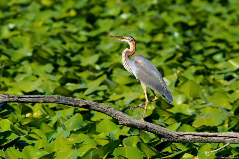
Ardea purpurea
♥
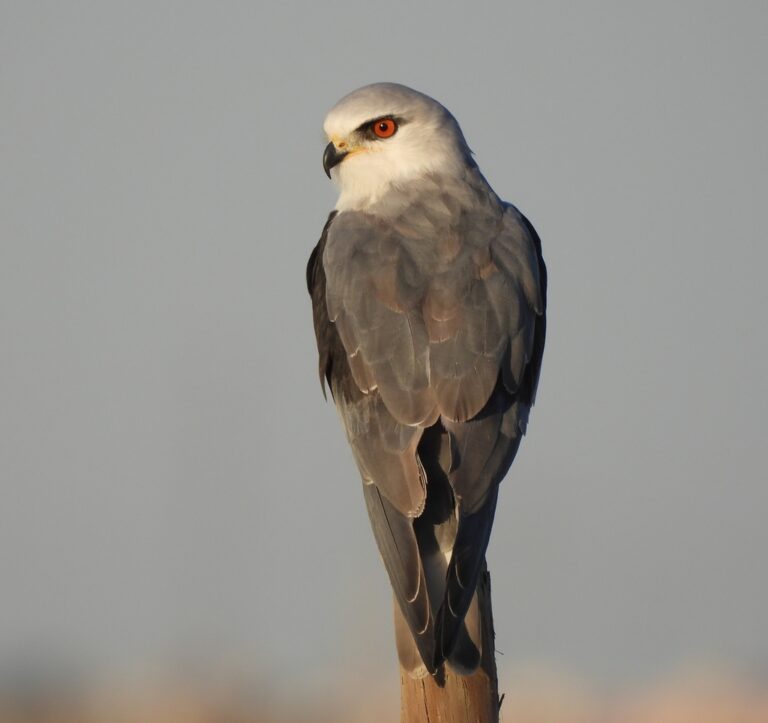
Elanus caeruleus
♥
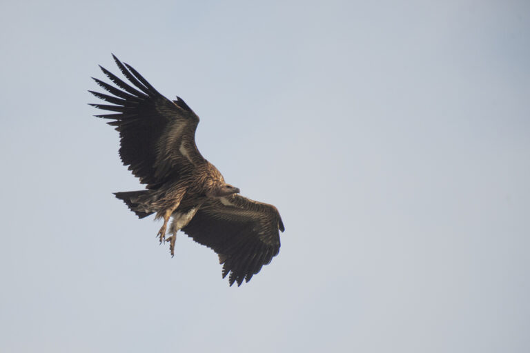
Gyps himalayensis
♥
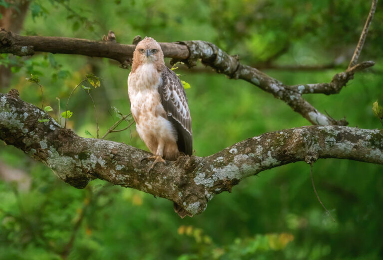
Nisaetus cirrhatus
♥
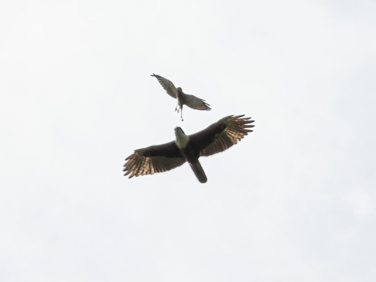
Lophotriorchis kienerii
♥
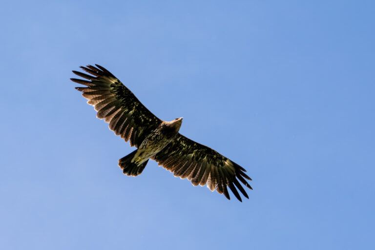
Clanga clanga
♥
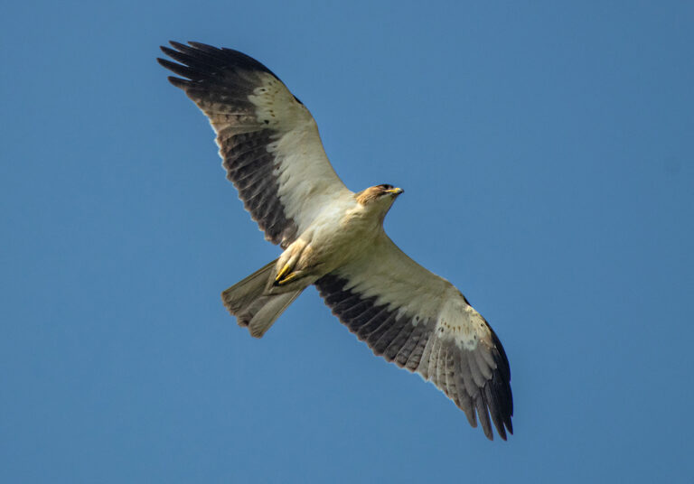
Hieraaetus pennatus
♥
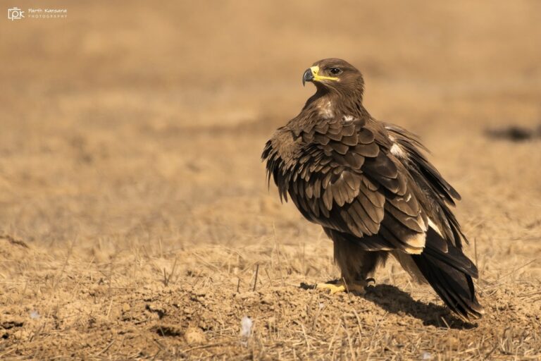
Aquila nipalensis
♥
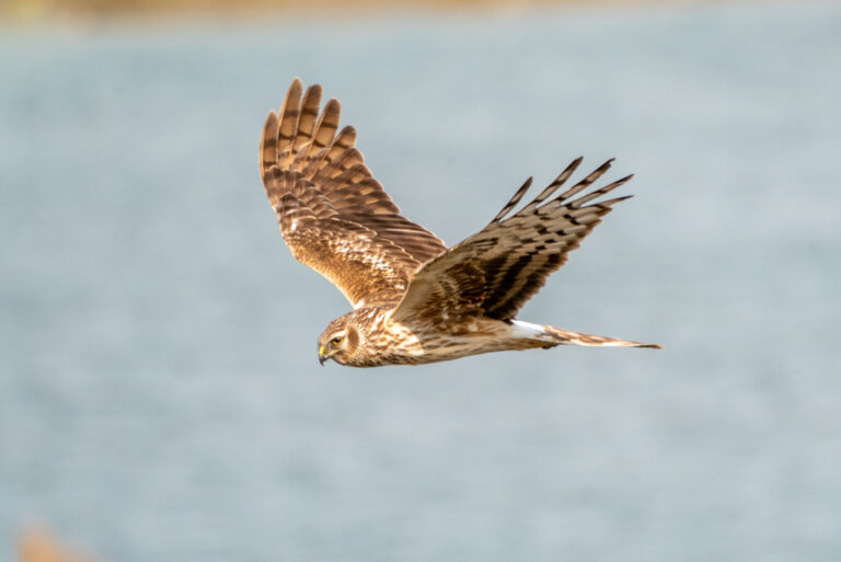
Circus cyaneus
♥
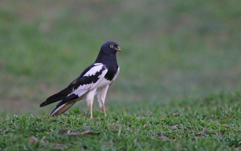
Circus melanoleucos
♥
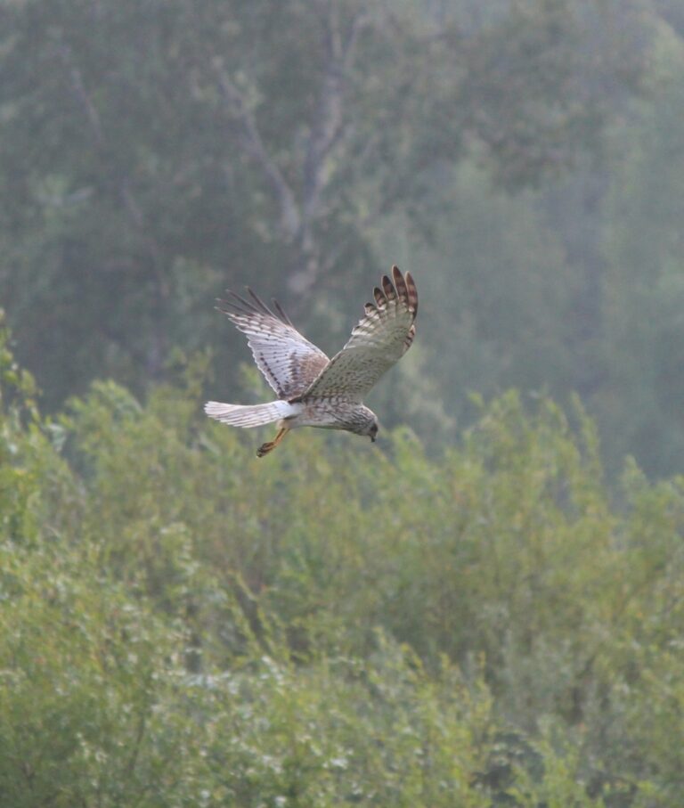
Circus spilonotus
♥
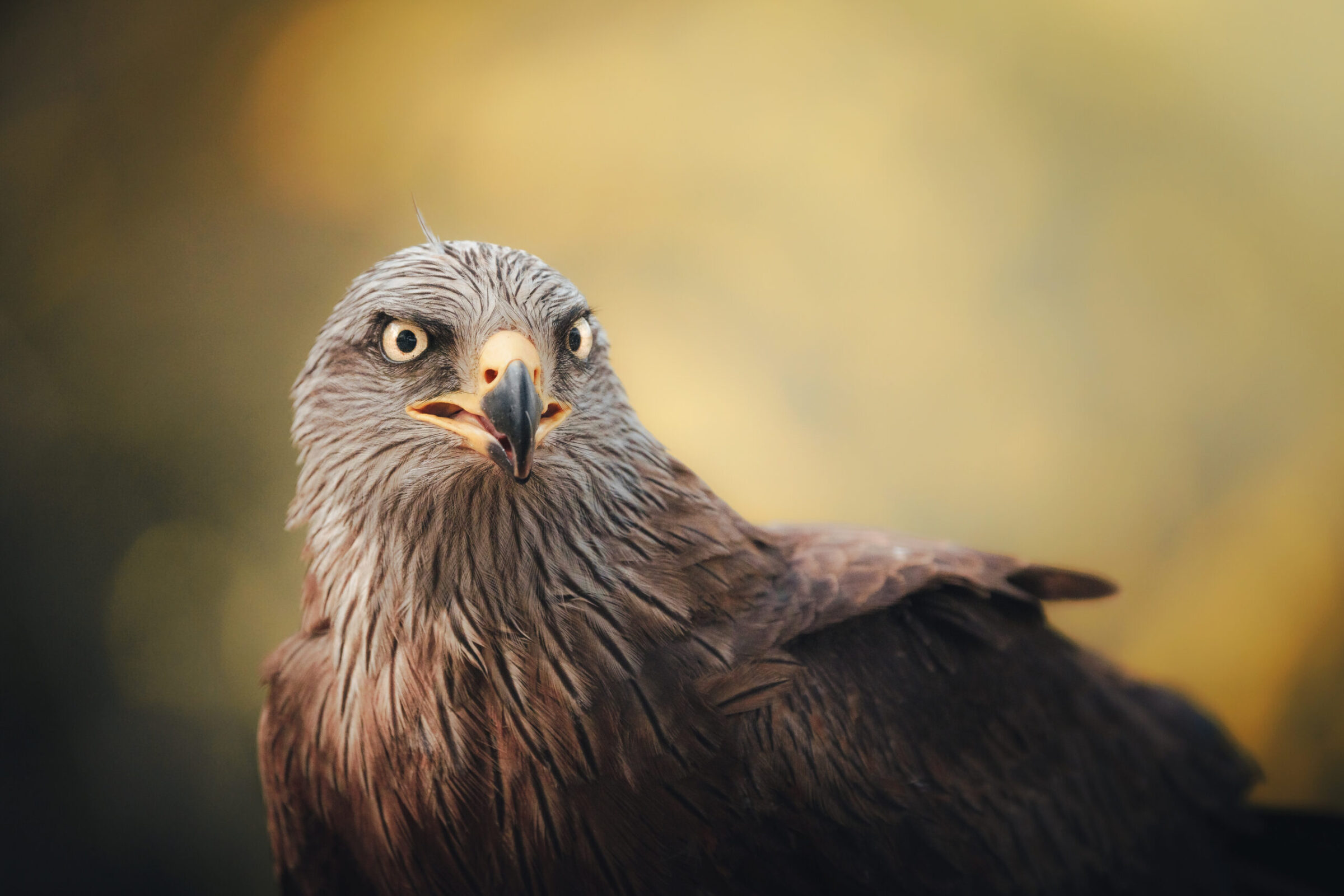
Milvus migrans
♥
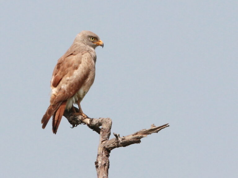
Butastur liventer
♥
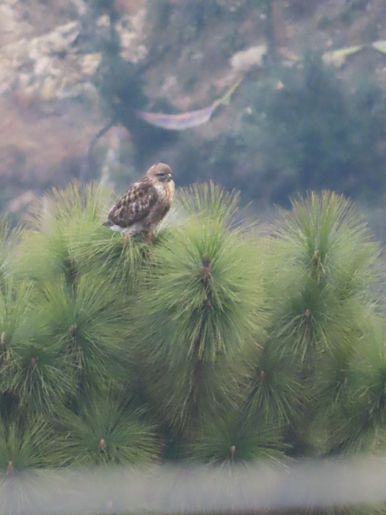
Buteo refectus
♥
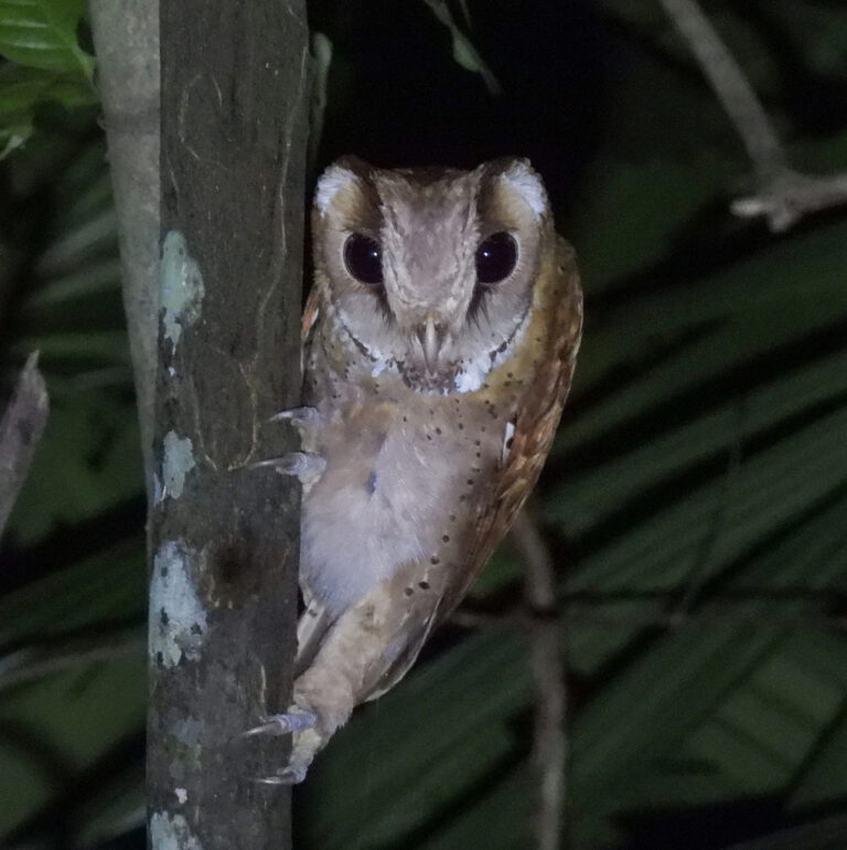
Phodilus badius
♥
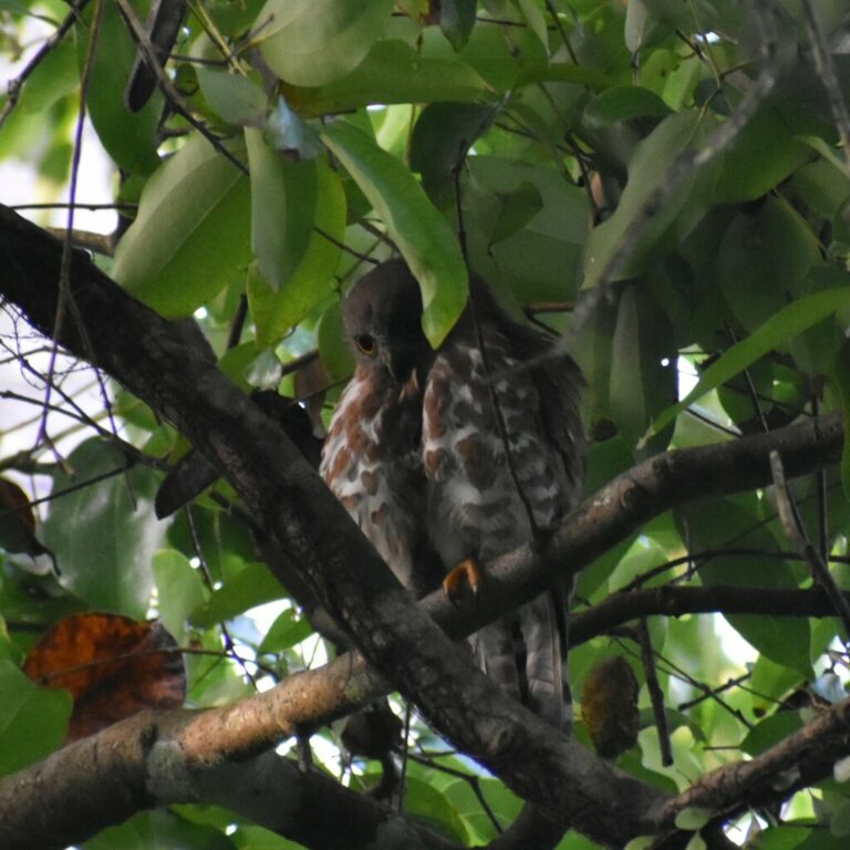
Ninox scutulata
♥
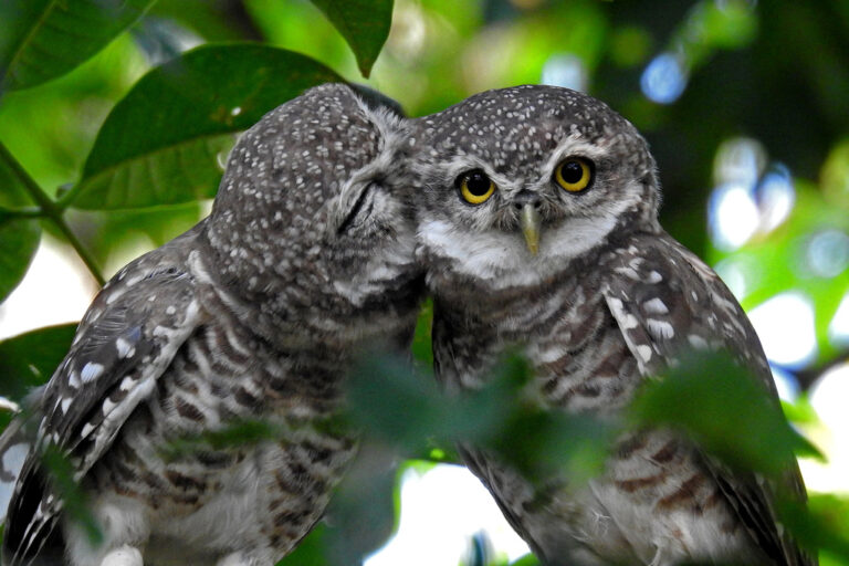
Athene brama
♥
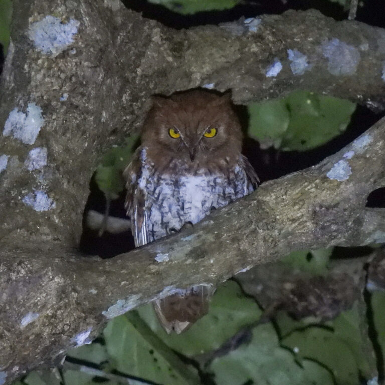
Otus sunia
♥
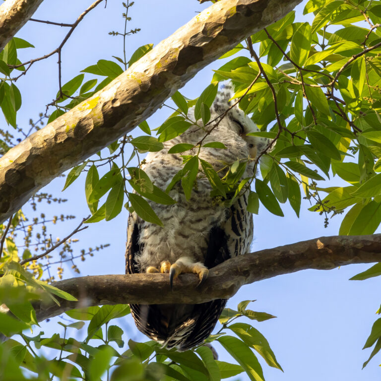
Ketupa nipalensis
♥
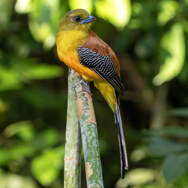
Harpactes oreskios
♥
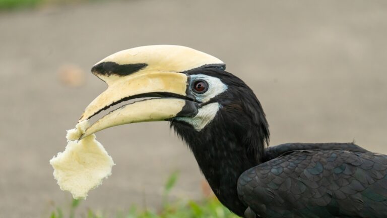
Anthracoceros albirostris
♥
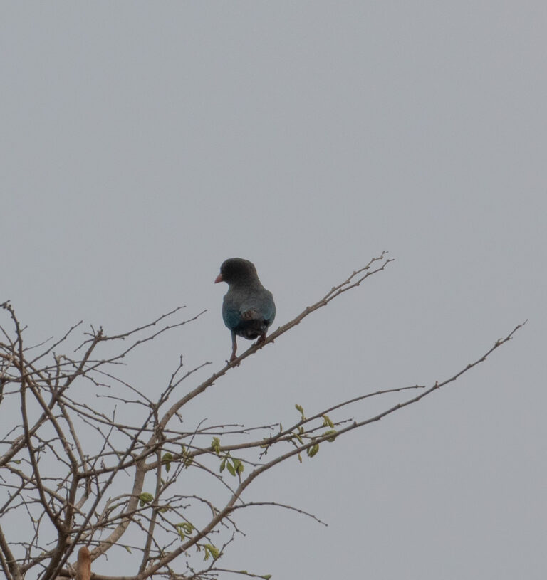
Eurystomus orientalis
♥
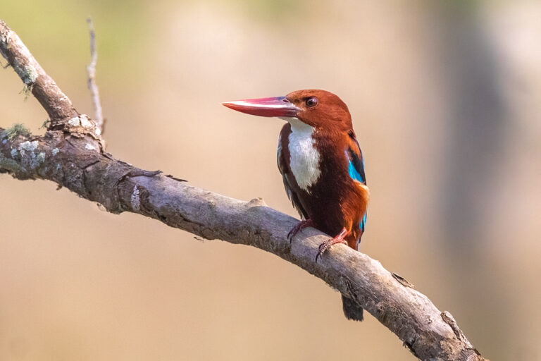
Halcyon smyrnensis
♥
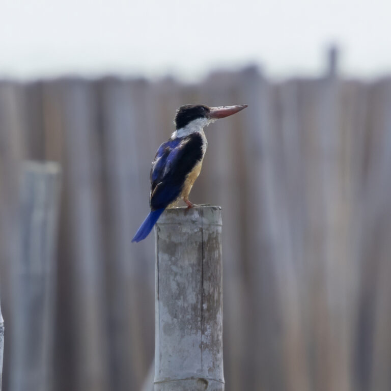
Halcyon pileata
♥
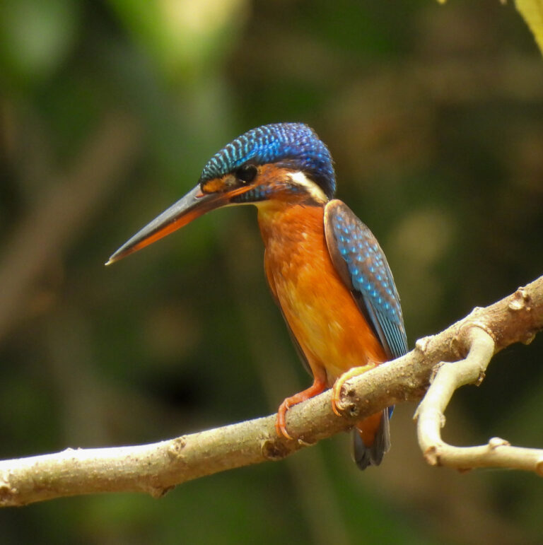
Alcedo meninting
♥
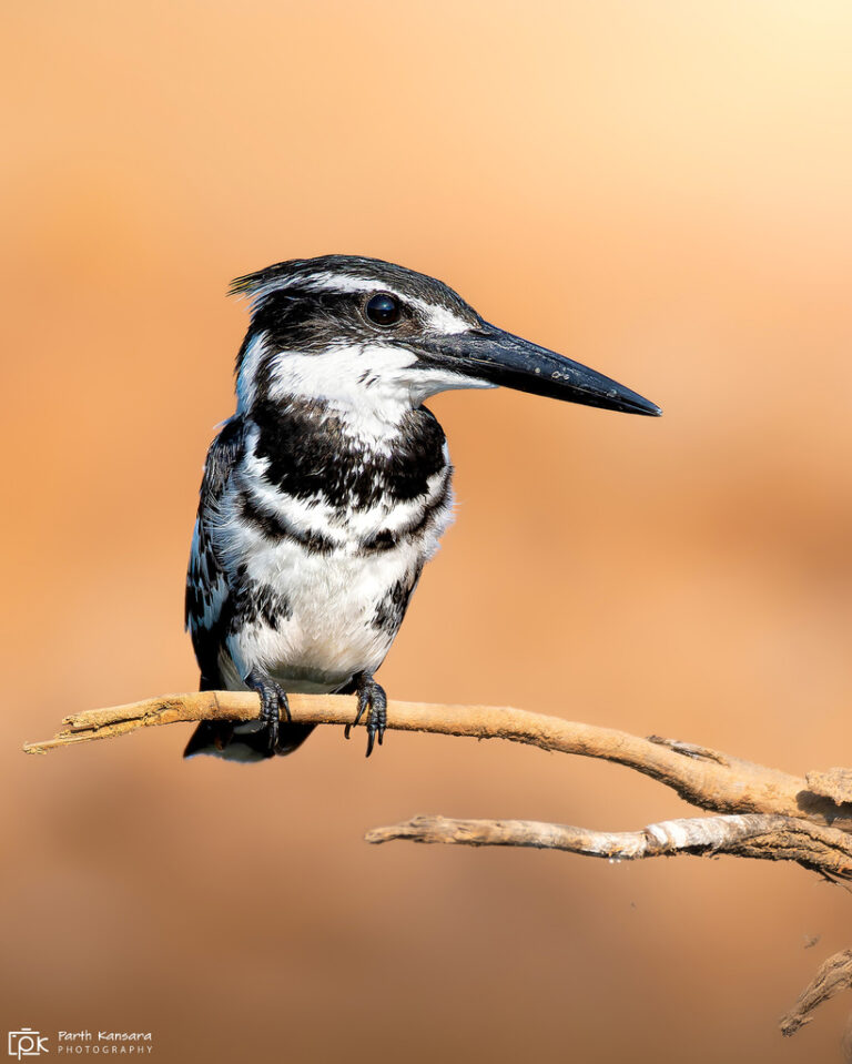
Ceryle rudis
♥
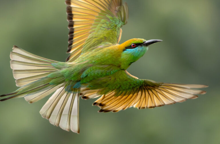
Merops orientalis
♥
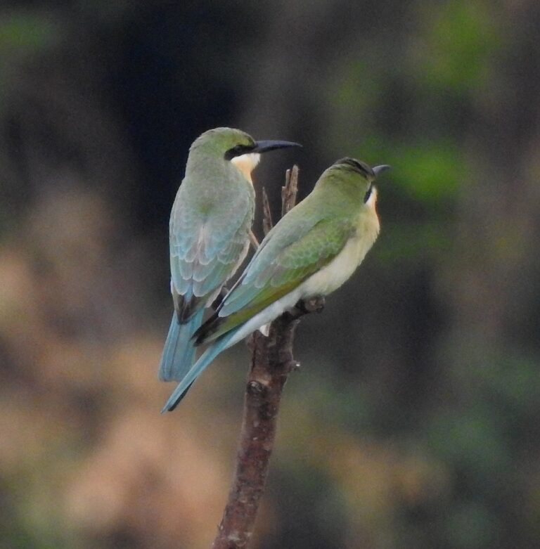
Merops philippinus
♥
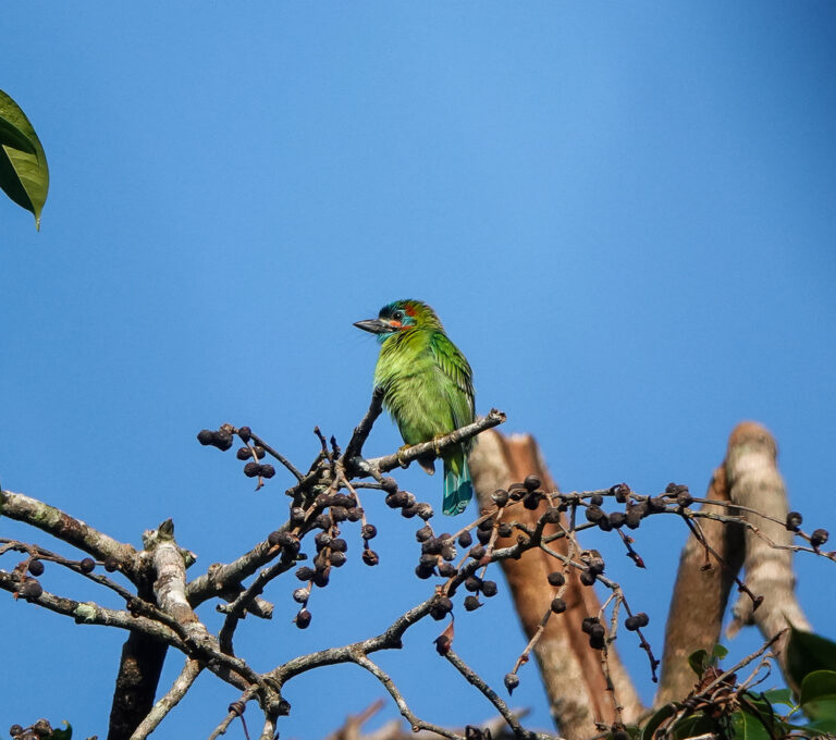
Psilopogon cyanotis
♥
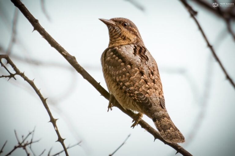
Jynx torquilla
♥
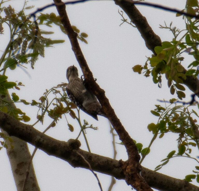
Dendrocopos analis
♥
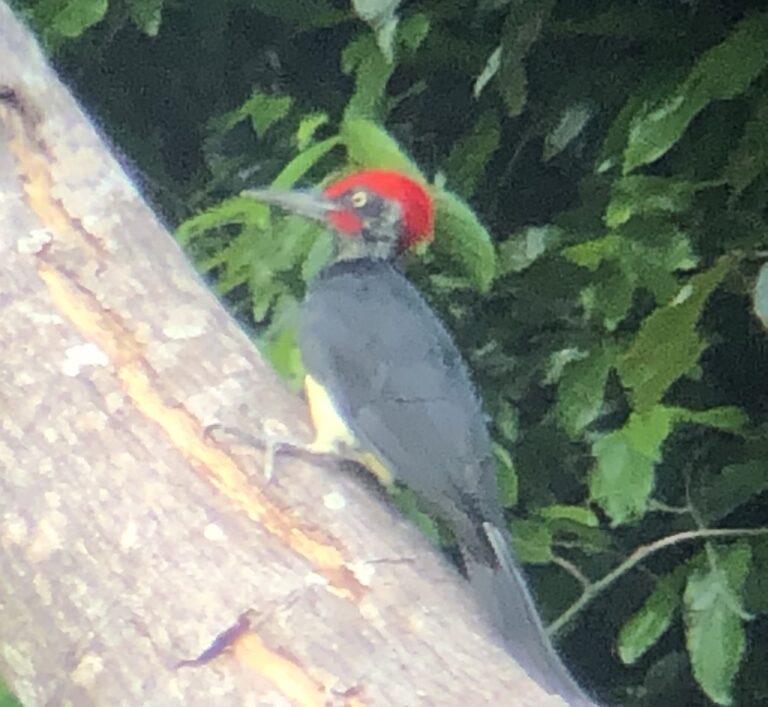
Dryocopus javensis
♥
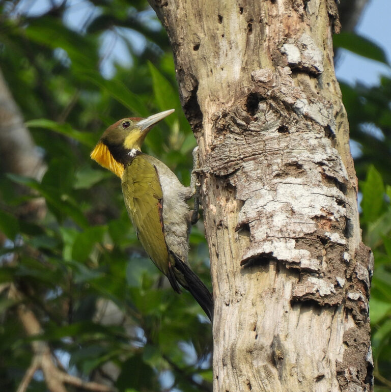
Chrysophlegma flavinucha
♥
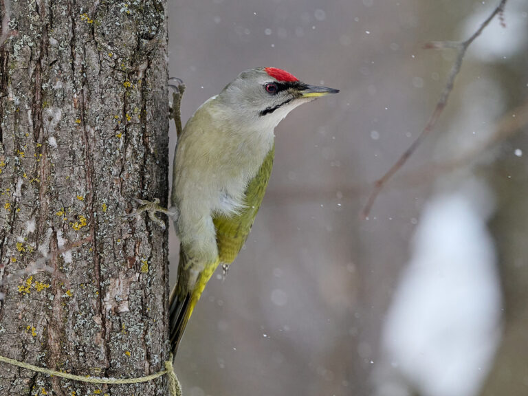
Picus canus
♥
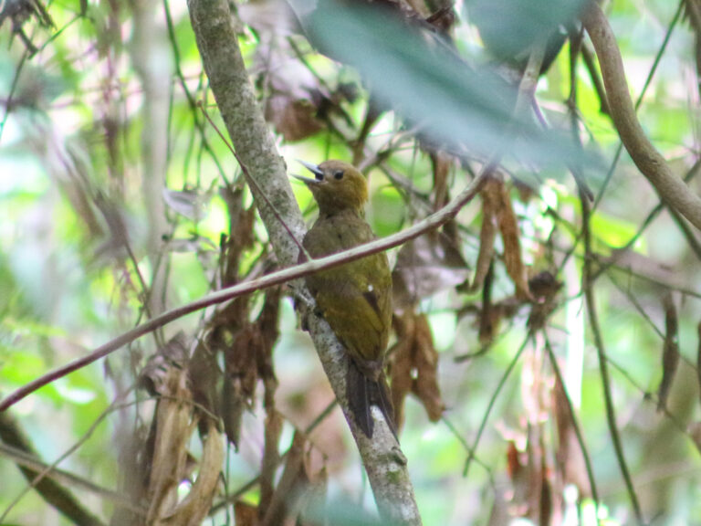
Gecinulus viridis
♥
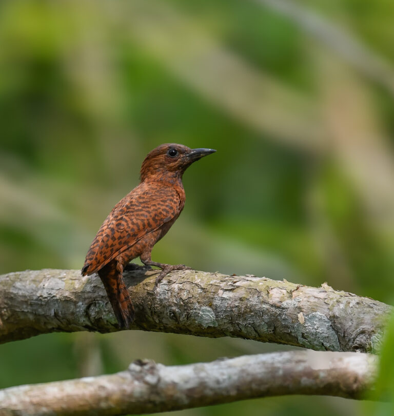
Micropternus brachyurus
♥
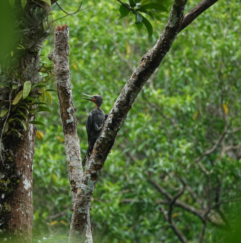
Mulleripicus pulverulentus
♥
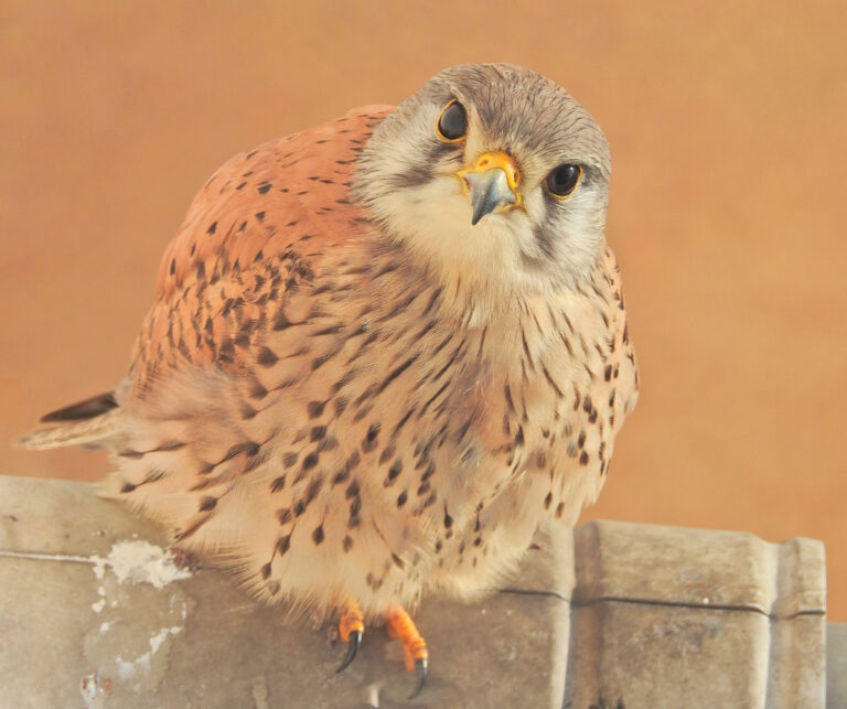
Falco tinnunculus
♥
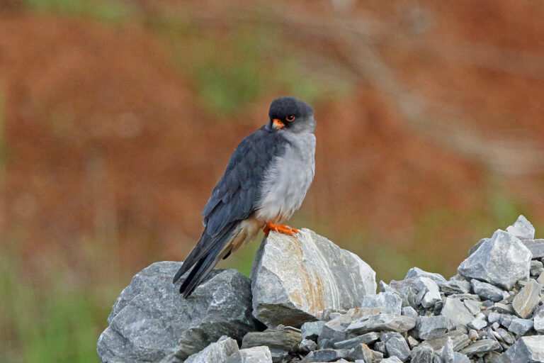
Falco amurensis
♥
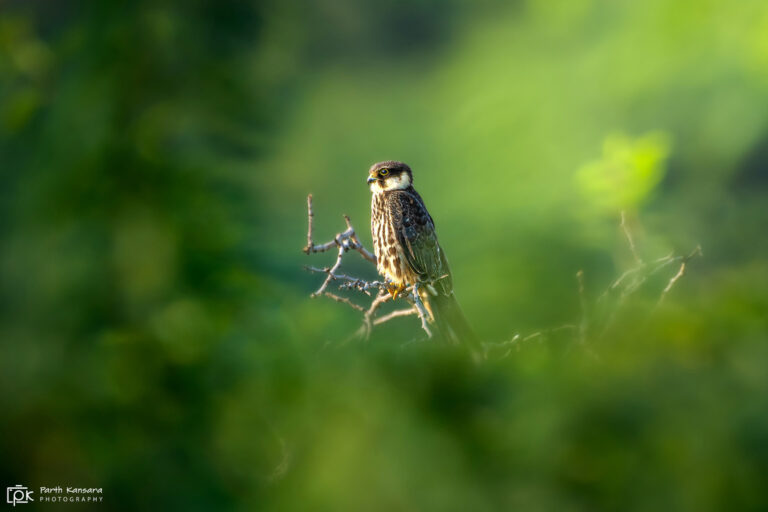
Falco subbuteo
♥
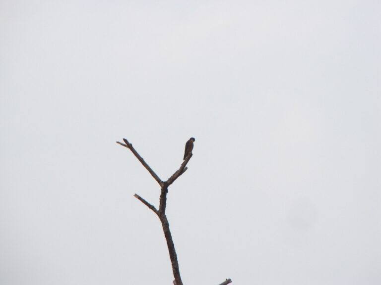
Falco severus
♥
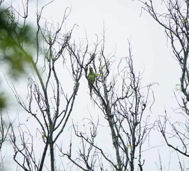
Psittacula finschii
♥
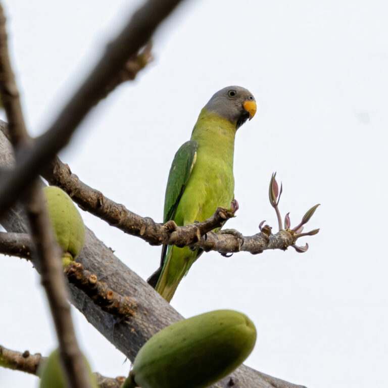
Psittacula roseata
♥
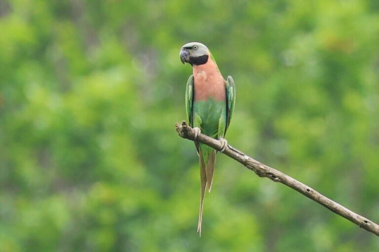
Psittacula alexandri
♥
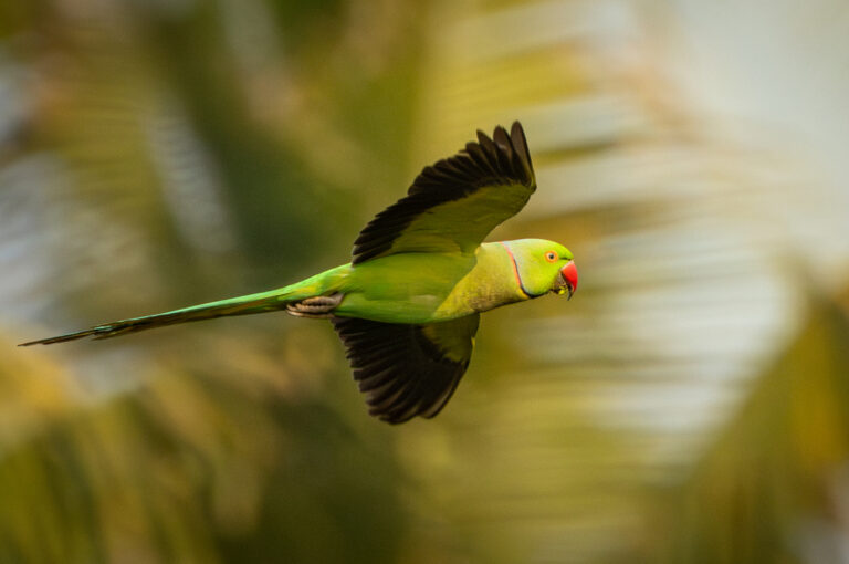
Psittacula krameri
♥
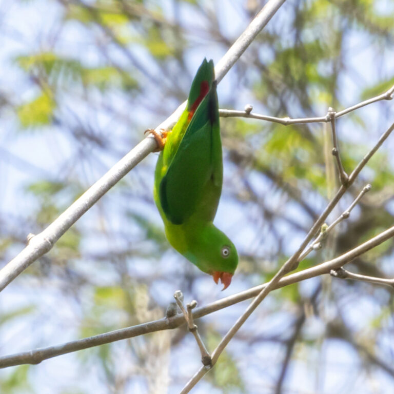
Loriculus vernalis
♥
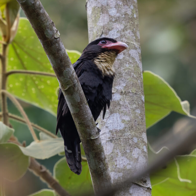
Corydon sumatranus
♥
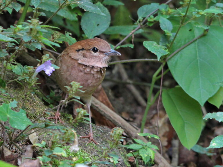
Hydrornis oatesi
♥
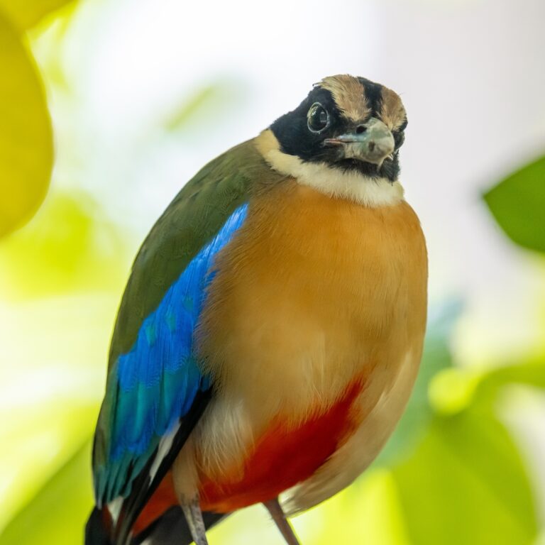
Pitta moluccensis
♥
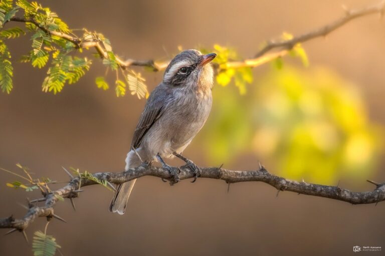
Tephrodornis pondicerianus
♥
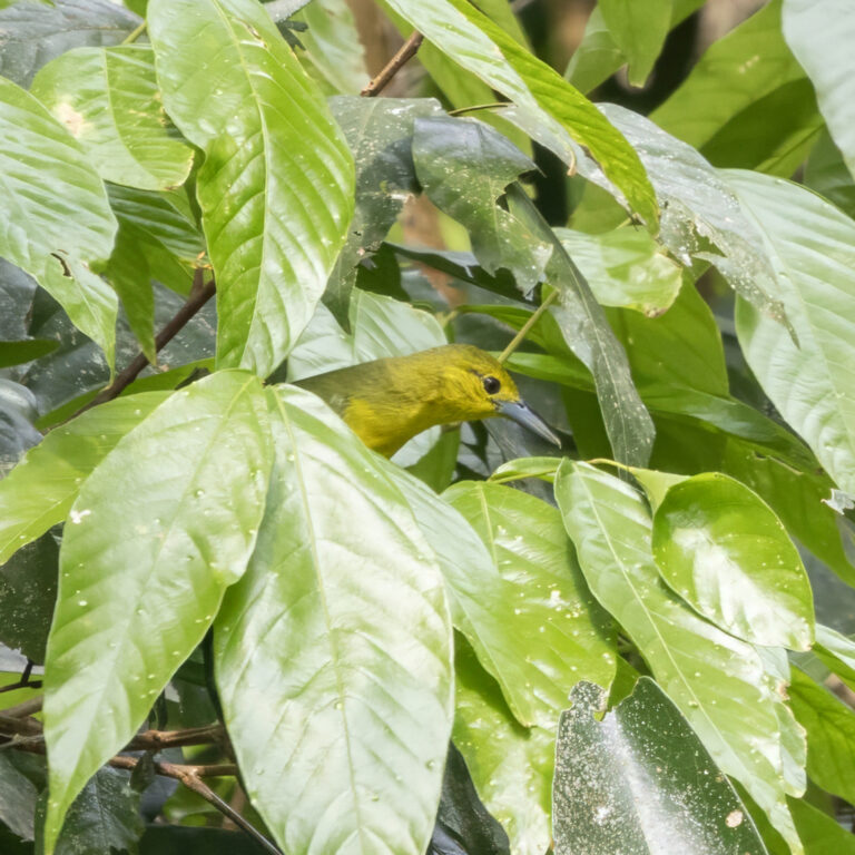
Aegithina lafresnayei
♥
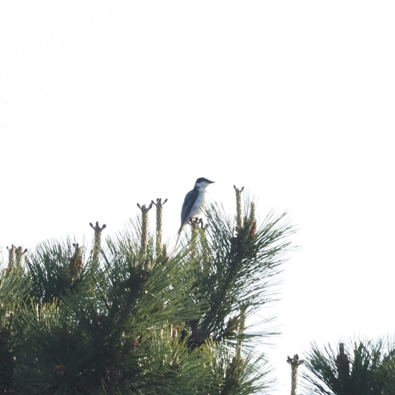
Pericrocotus divaricatus
♥
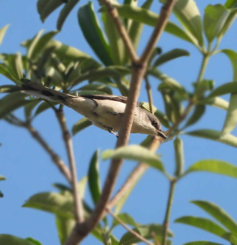
Pericrocotus cantonensis
♥
Dicrurus annectens
♥
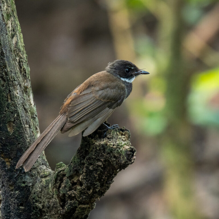
Rhipidura javanica
♥
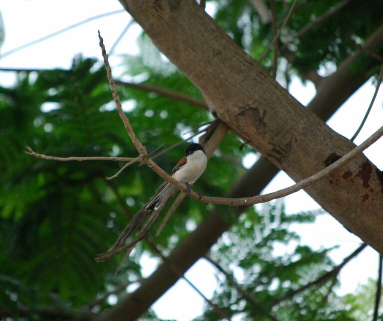
Lanius collurioides
♥
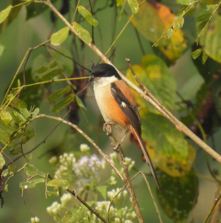
Lanius schach
♥
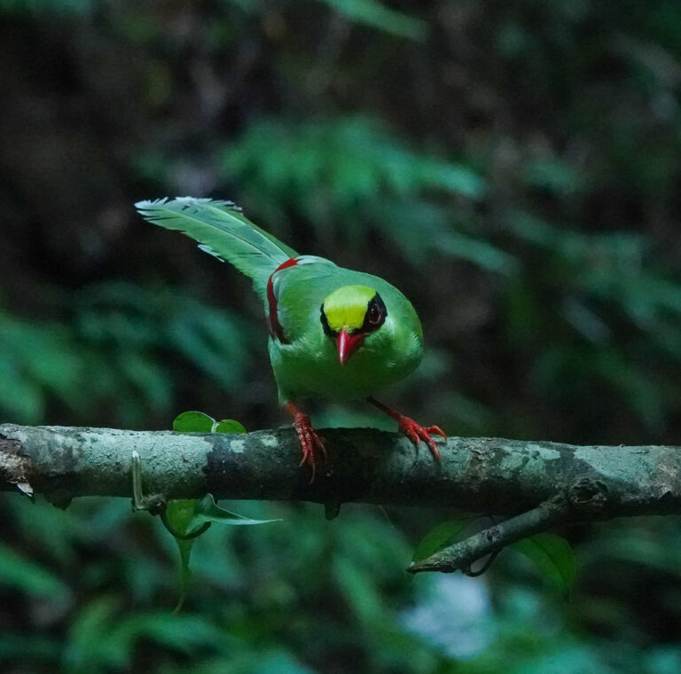
Cissa chinensis
♥
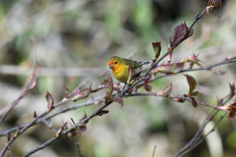
Cephalopyrus flammiceps
♥
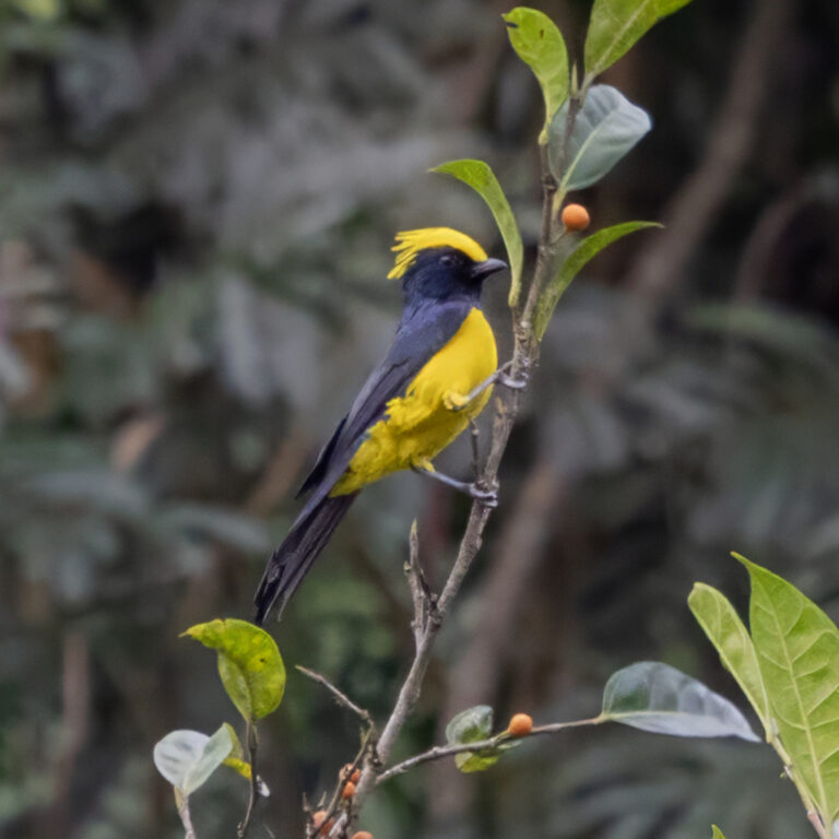
Melanochlora sultanea
♥
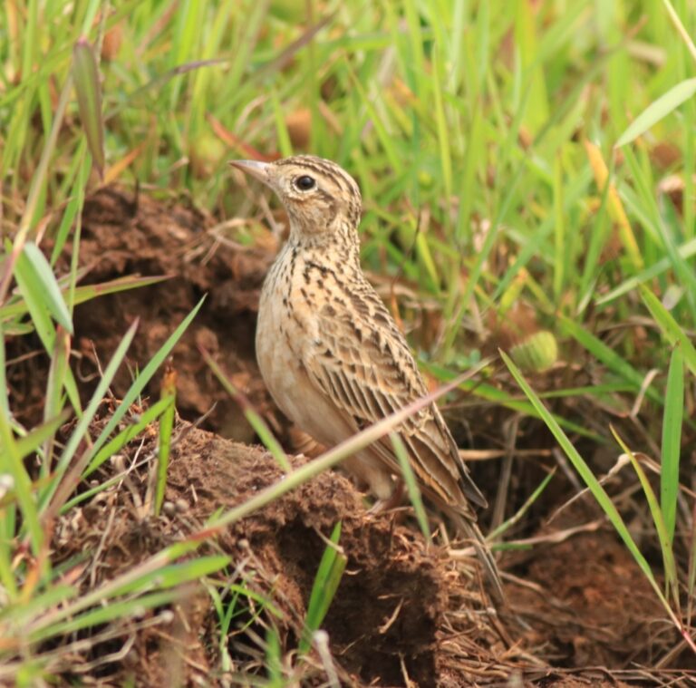
Alauda gulgula
♥
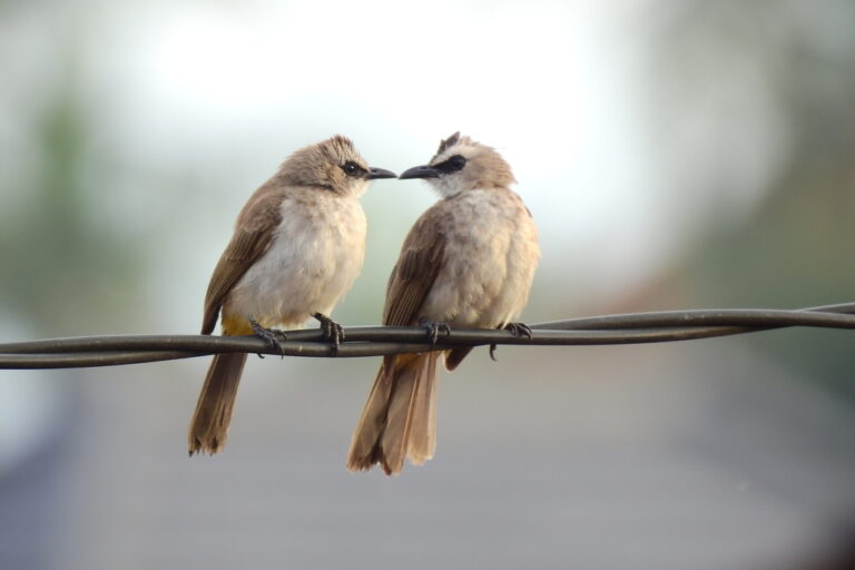
Pycnonotus goiavier
♥
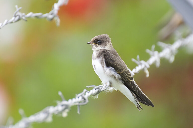
Riparia riparia
♥
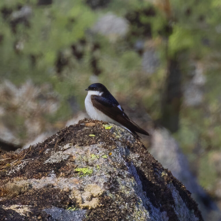
Delichon lagopodum
♥
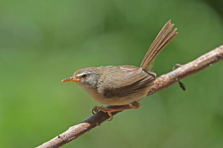
Horornis flavolivaceus
♥
Cettia castaneocoronata
♥
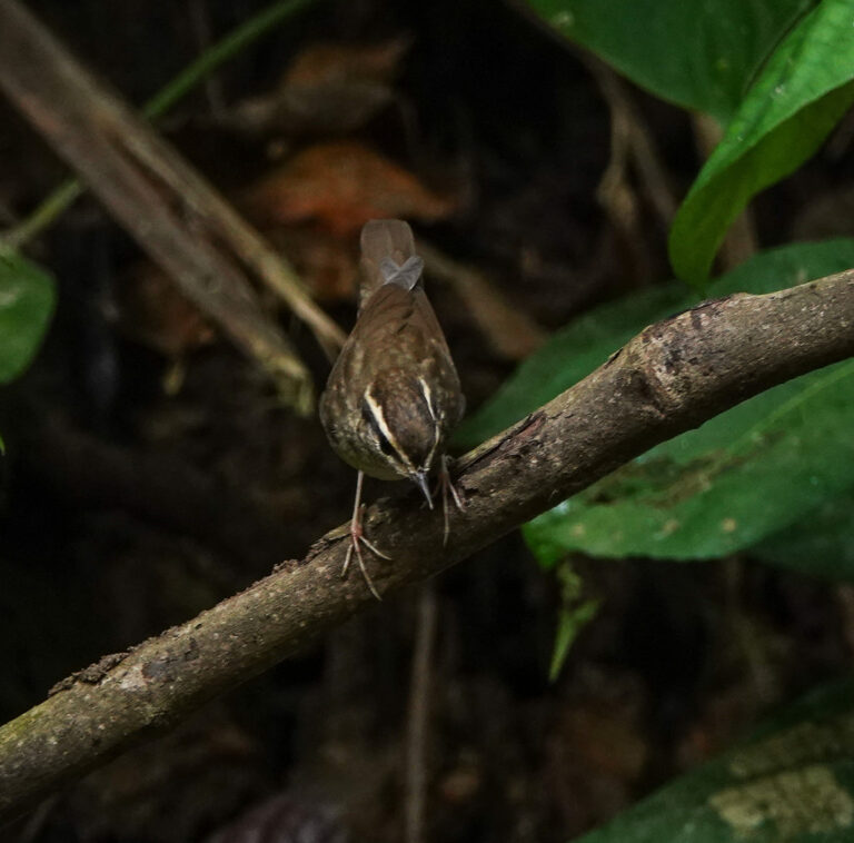
Urosphena squameiceps
♥
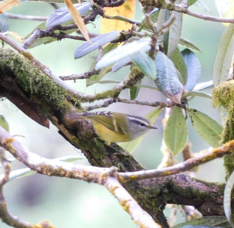
Phylloscopus maculipennis
♥
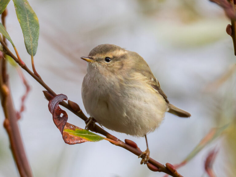
Phylloscopus humei
♥
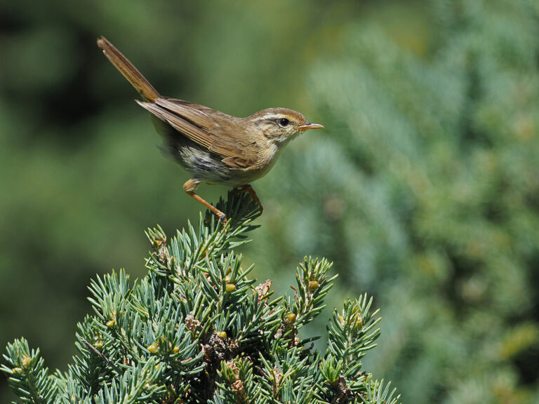
Phylloscopus armandii
♥
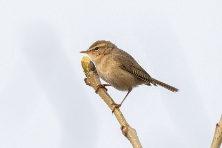
Phylloscopus fuscatus
♥
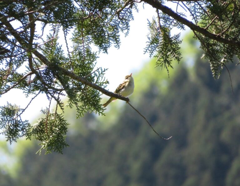
Phylloscopus coronatus
♥
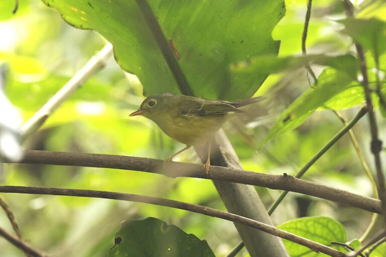
Phylloscopus valentini
♥
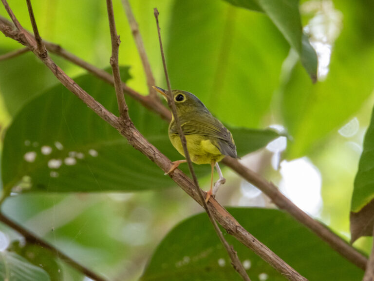
Phylloscopus soror
♥
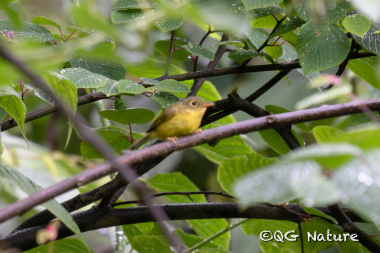
Phylloscopus omeiensis
♥
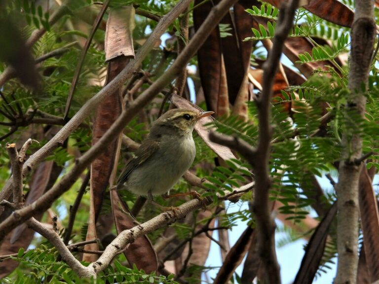
Phylloscopus plumbeitarsus
♥
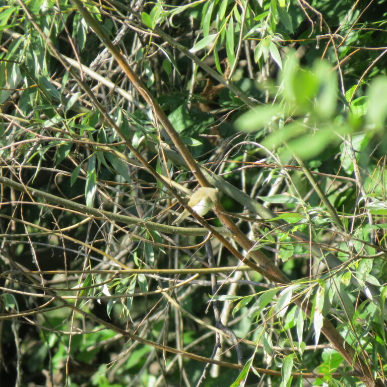
Phylloscopus trochiloides
♥
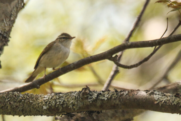
Phylloscopus borealoides
♥
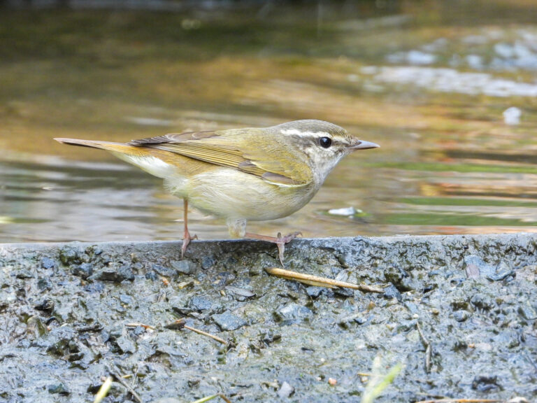
Phylloscopus tenellipes
♥
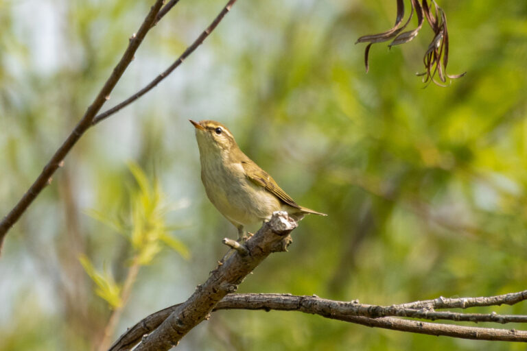
Phylloscopus borealis
♥
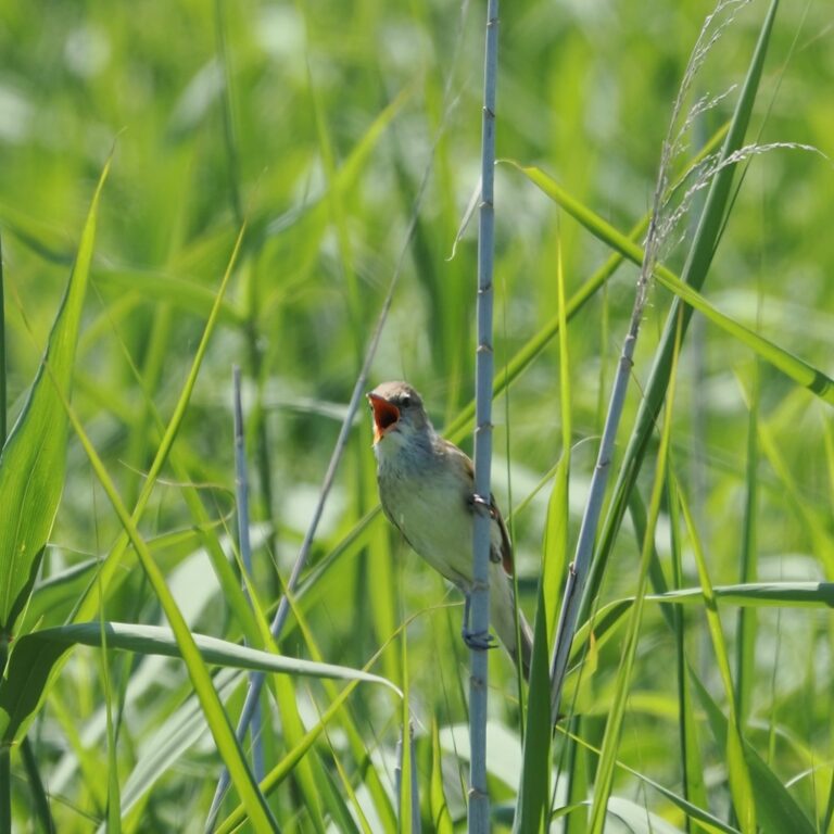
Acrocephalus orientalis
♥
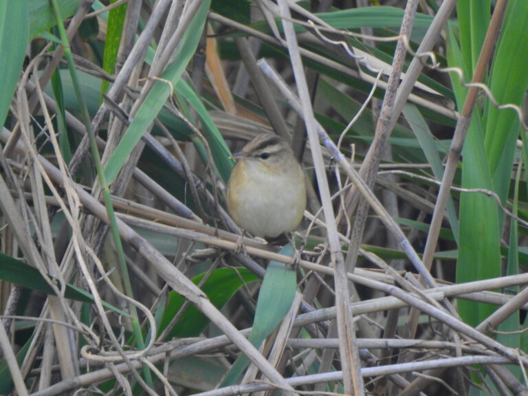
Acrocephalus bistrigiceps
♥
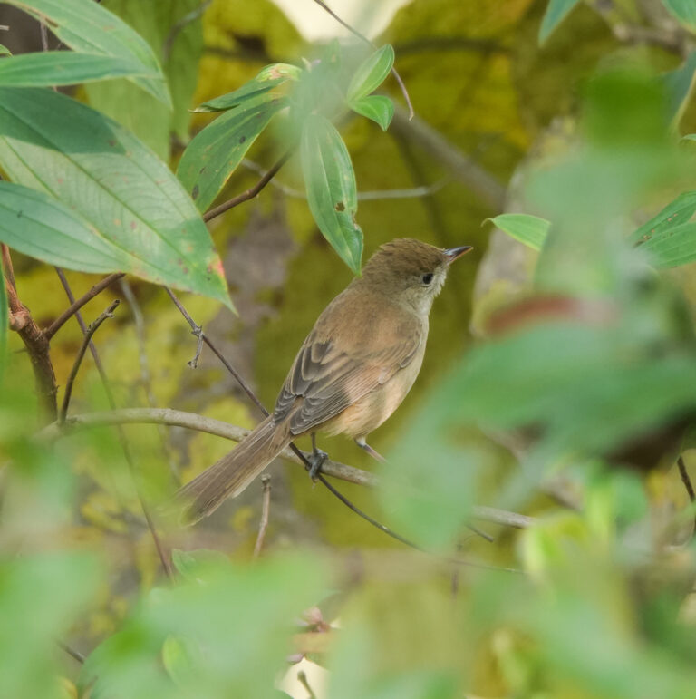
Arundinax aedon
♥
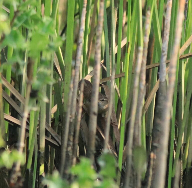
Helopsaltes certhiola
♥
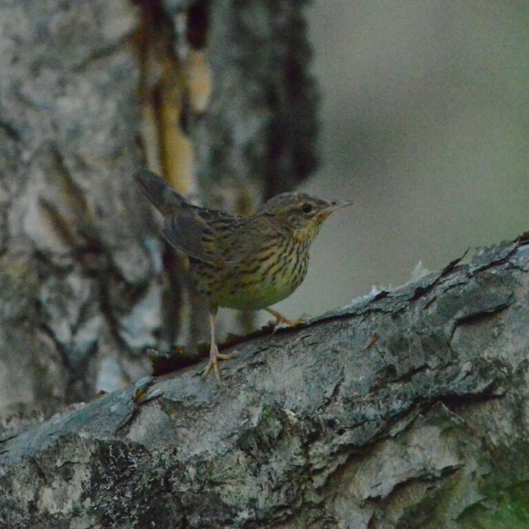
Locustella lanceolata
♥
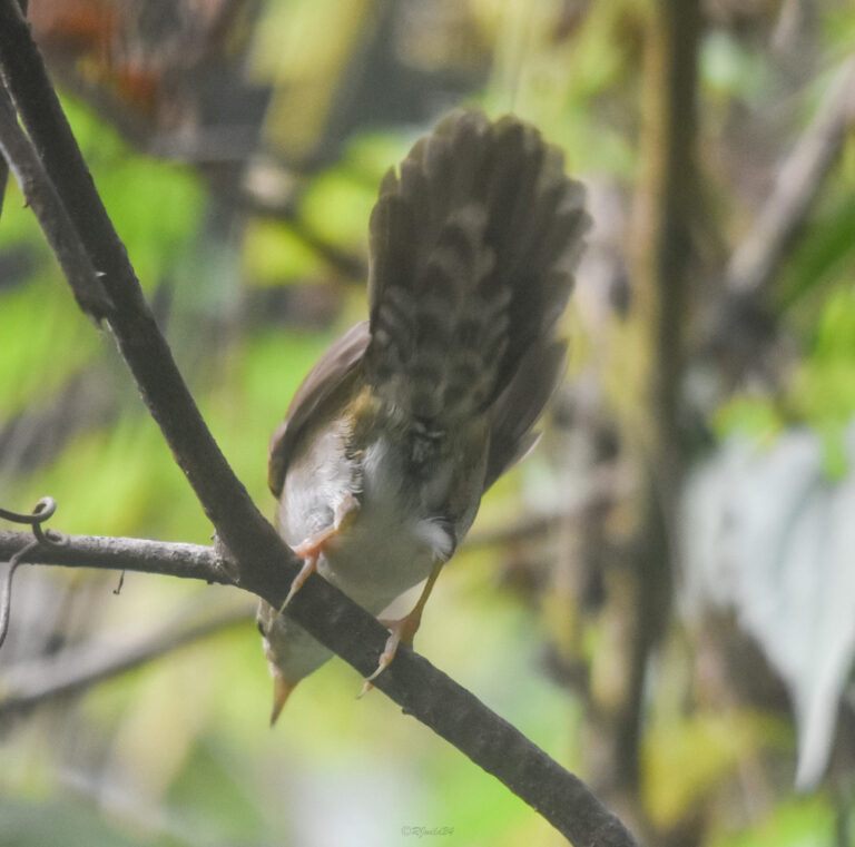
Locustella davidi
♥
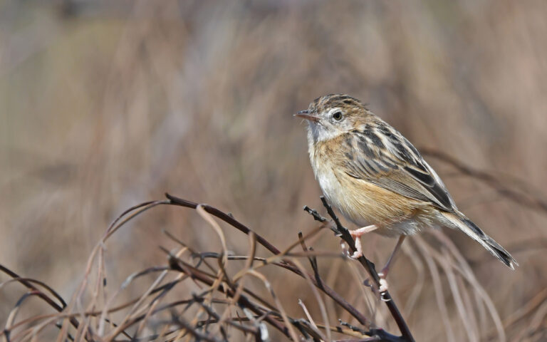
Cisticola juncidis
♥
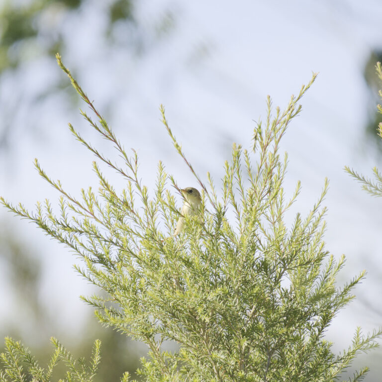
Cisticola exilis
♥
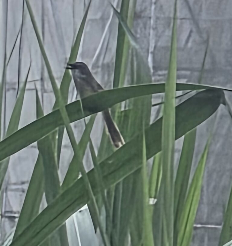
Prinia flaviventris
♥
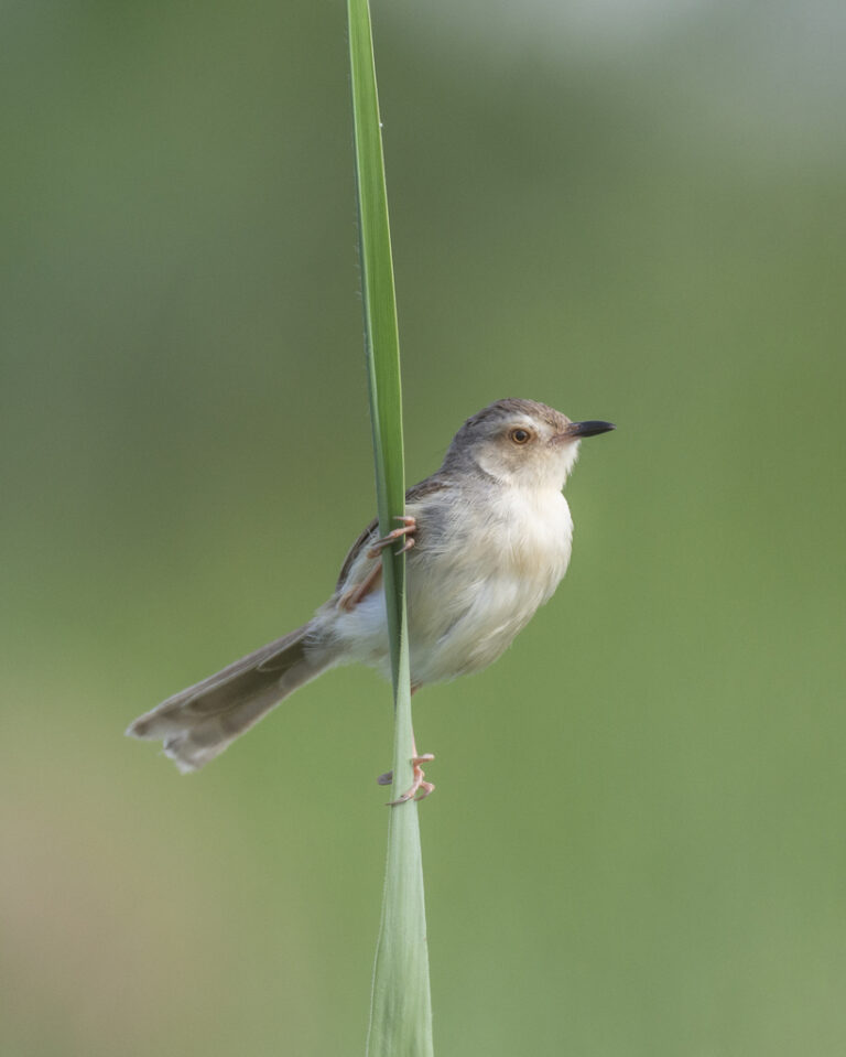
Prinia inornata
♥
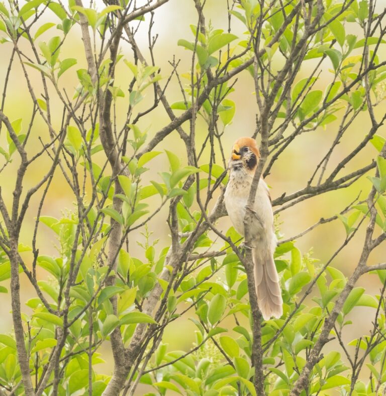
Paradoxornis guttaticollis
♥
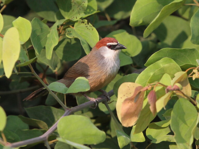
Timalia pileata
♥
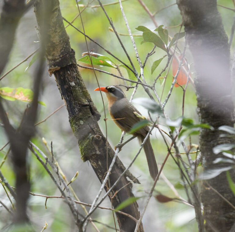
Pomatorhinus phayrei
♥
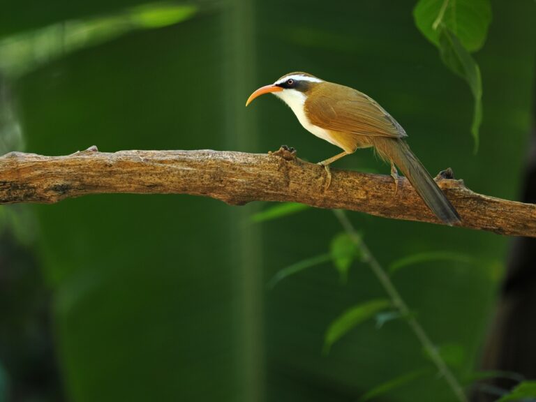
Pomatorhinus ochraceiceps
♥
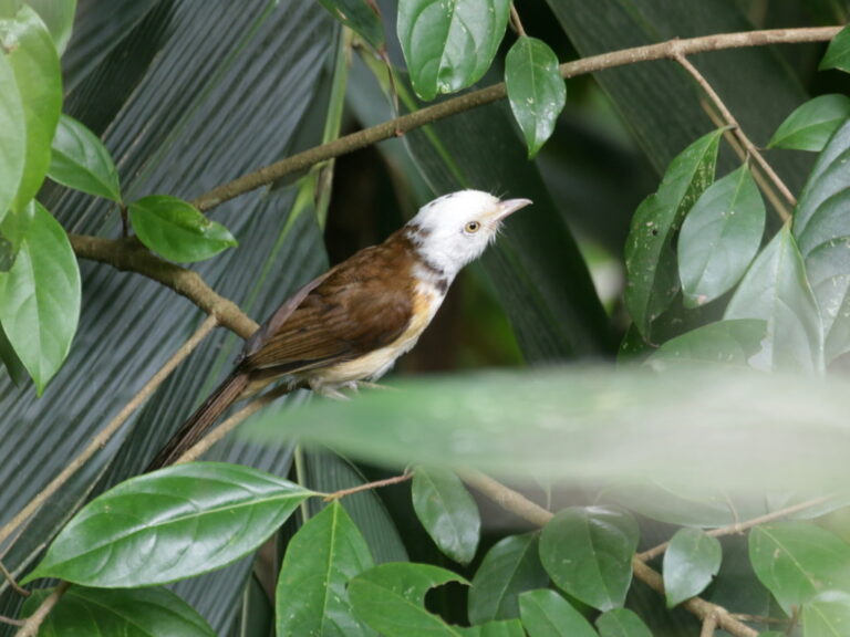
Gampsorhynchus torquatus
♥
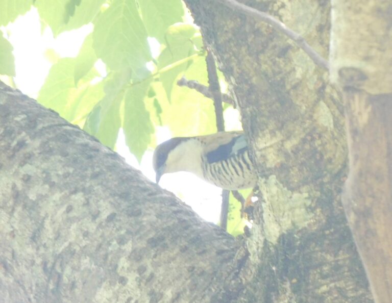
Cutia nipalensis
♥
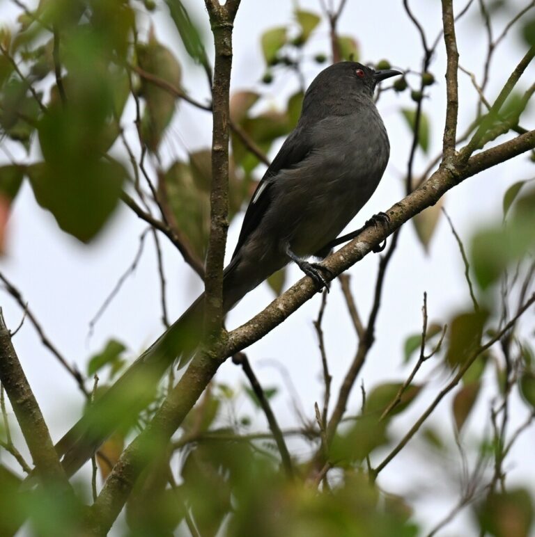
Heterophasia picaoides
♥
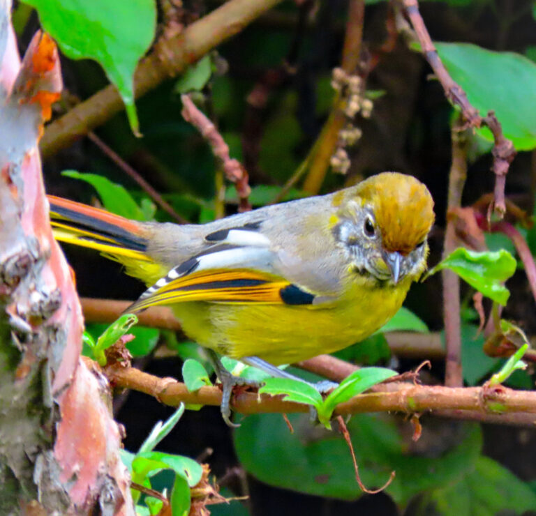
Actinodura strigula
♥
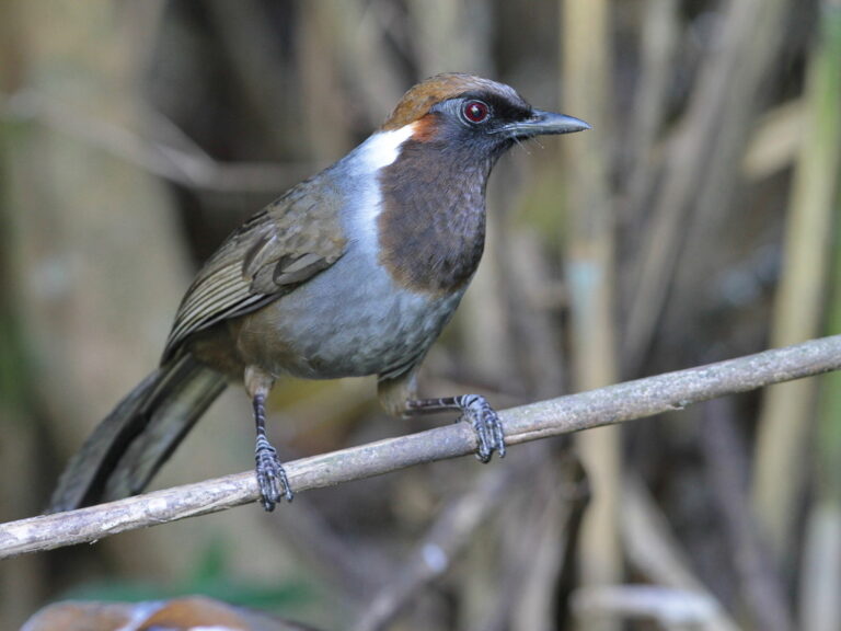
Garrulax strepitans
♥
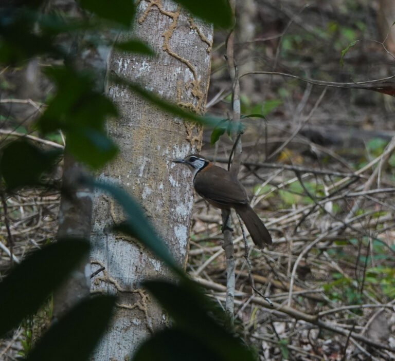
Pterorhinus pectoralis
♥
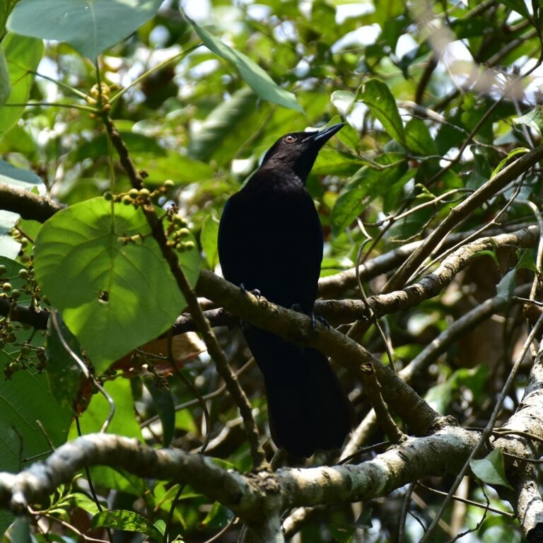
Irena puella
♥
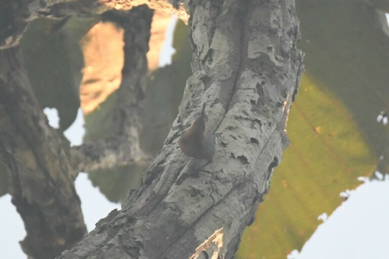
Sitta neglecta
♥
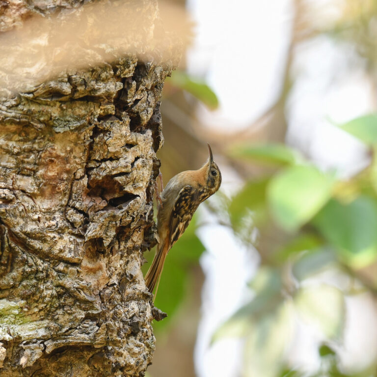
Certhia manipurensis
♥
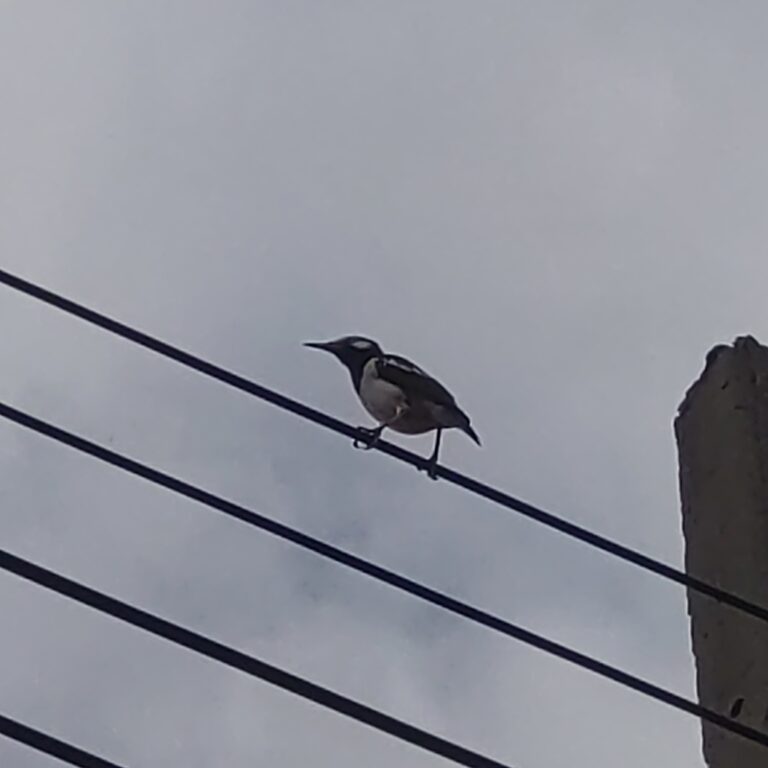
Gracupica floweri
♥
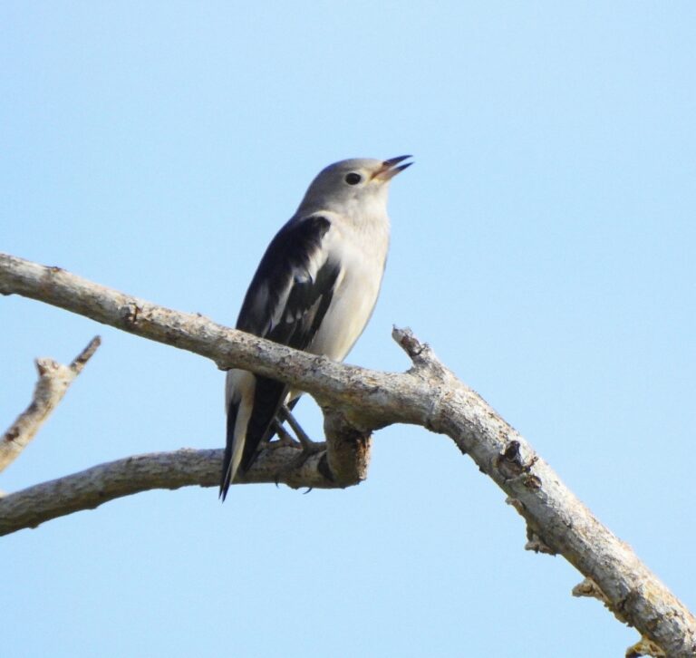
Agropsar sturninus
♥
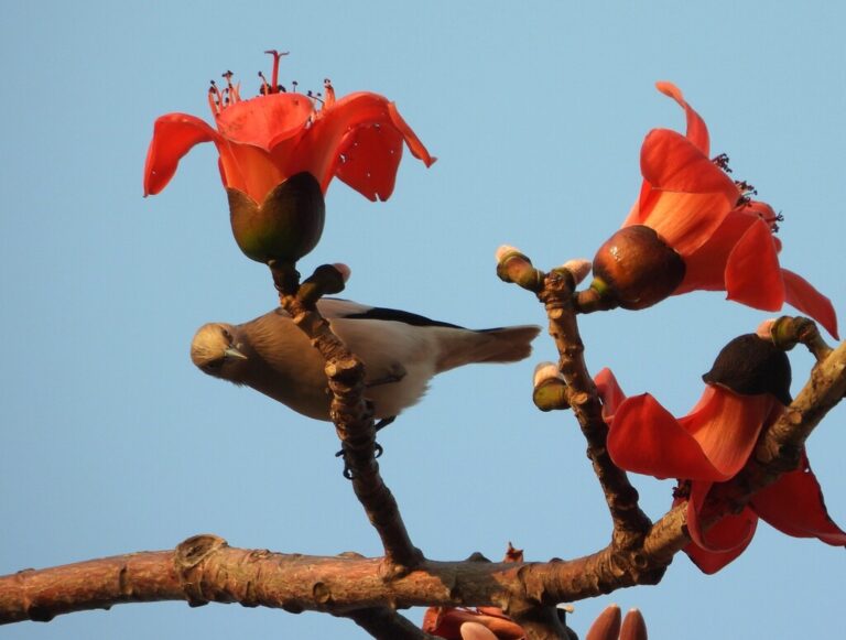
Sturnia sinensis
♥
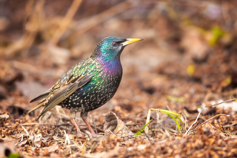
Sturnus vulgaris
♥
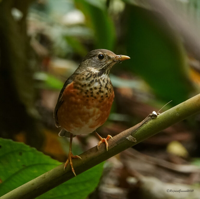
Turdus dissimilis
♥
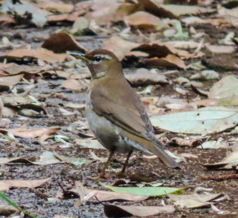
Turdus feae
♥
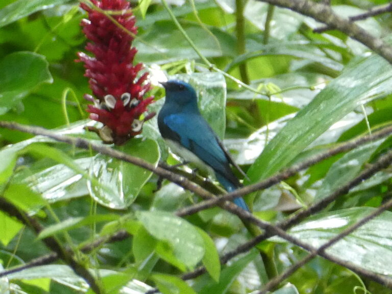
Cyanoptila cumatilis
♥
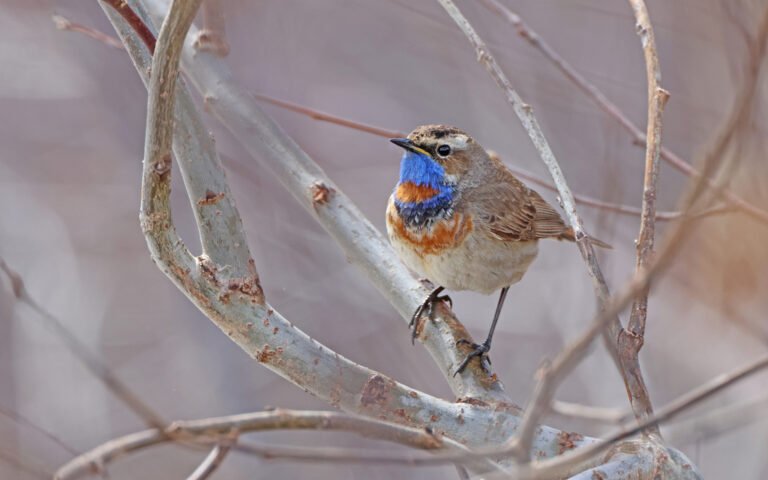
Luscinia svecica
♥
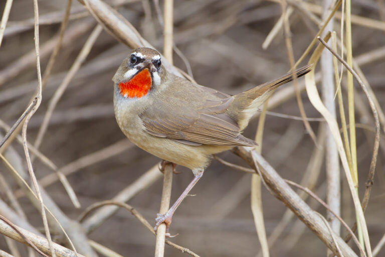
Calliope calliope
♥
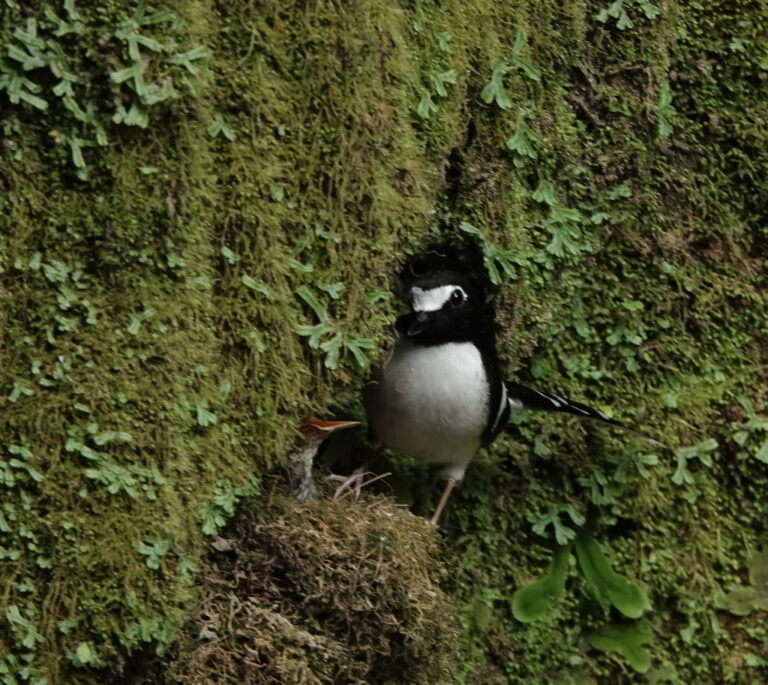
Enicurus immaculatus
♥
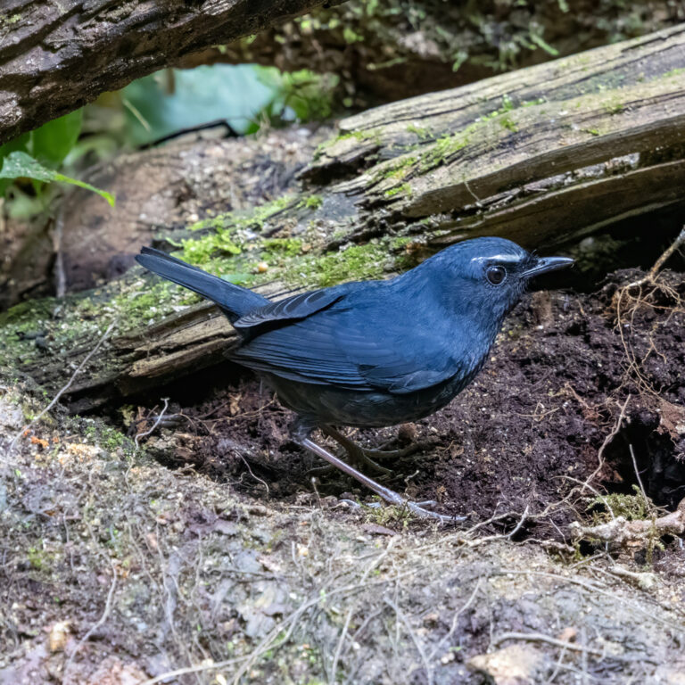
Brachypteryx cruralis
♥
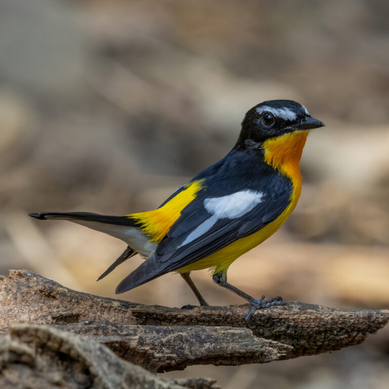
Ficedula zanthopygia
♥
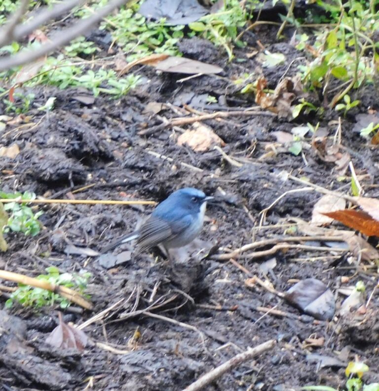
Ficedula tricolor
♥
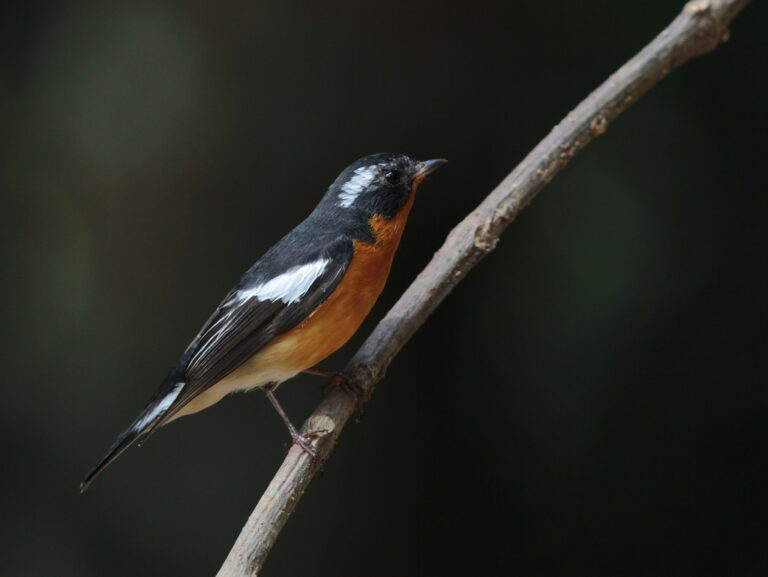
Ficedula mugimaki
♥
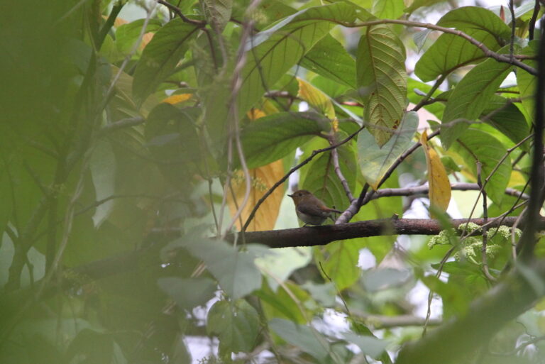
Ficedula sapphira
♥
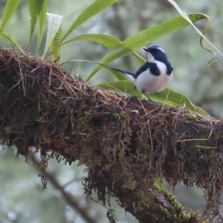
Ficedula superciliaris
♥
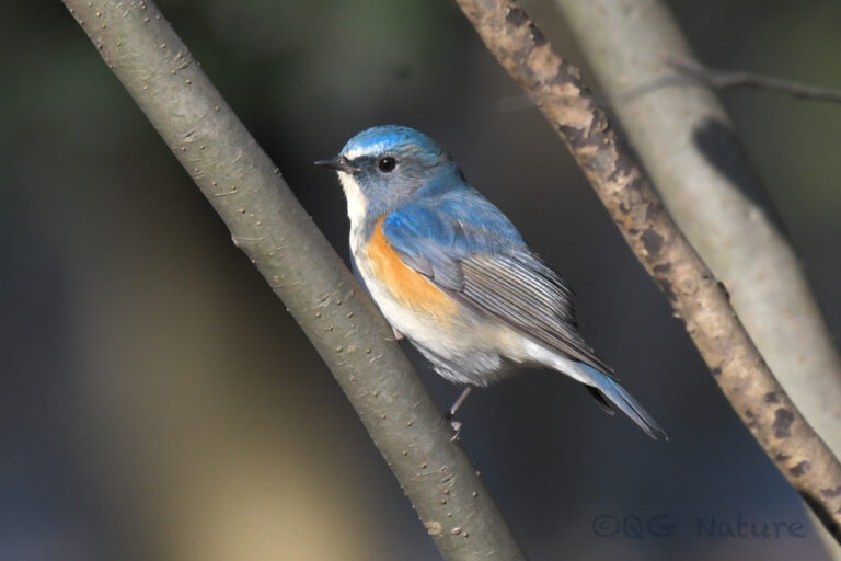
Tarsiger cyanurus
♥
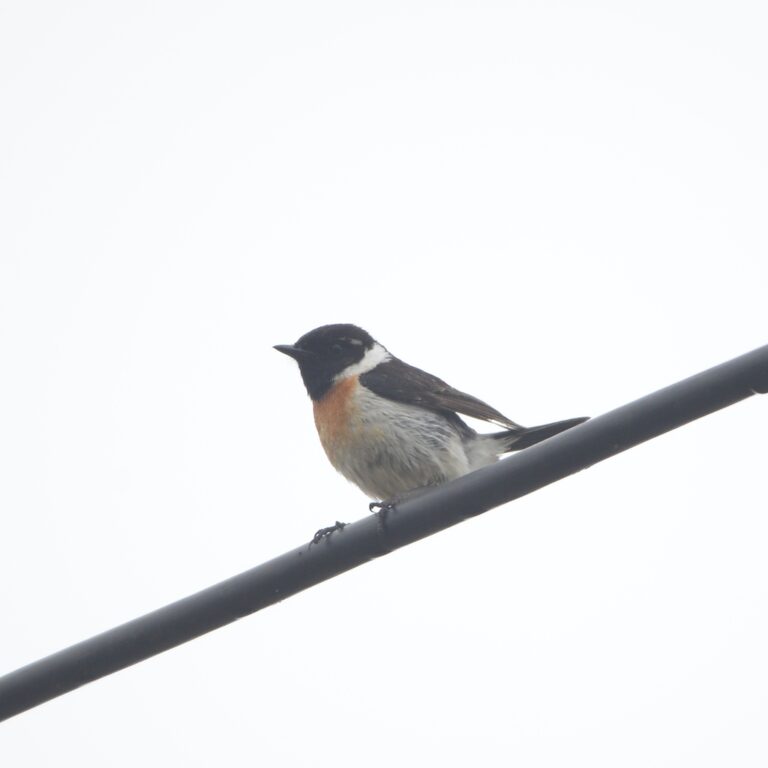
Saxicola stejnegeri
♥
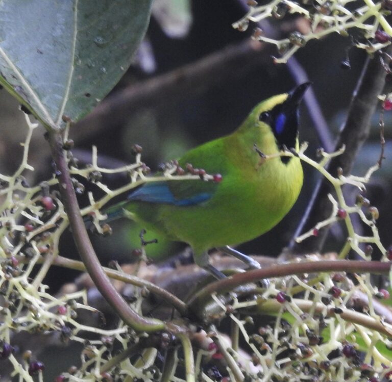
Chloropsis moluccensis
♥
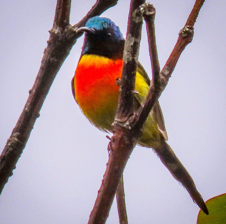
Aethopyga nipalensis
♥
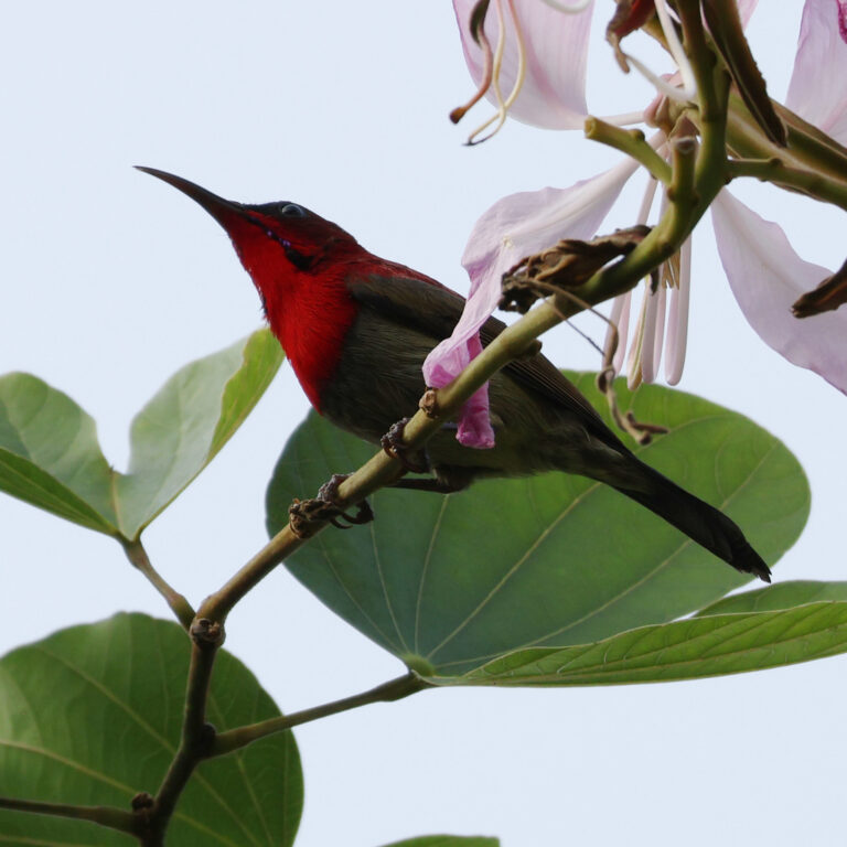
Aethopyga siparaja
♥
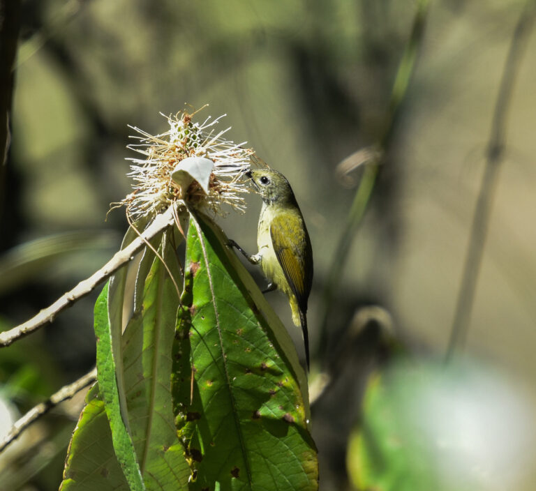
Aethopyga ignicauda
♥
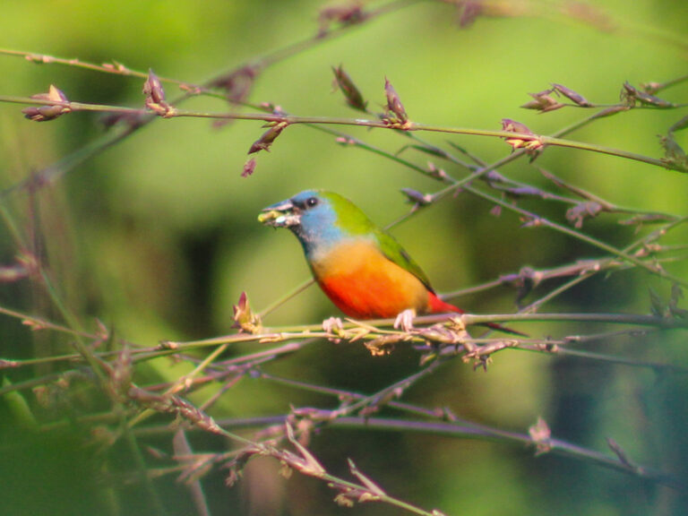
Erythrura prasina
♥
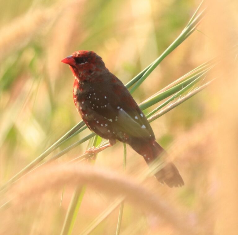
Amandava amandava
♥
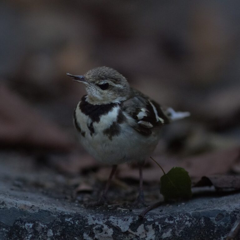
Dendronanthus indicus
♥
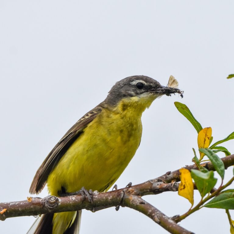
Motacilla tschutschensis
♥
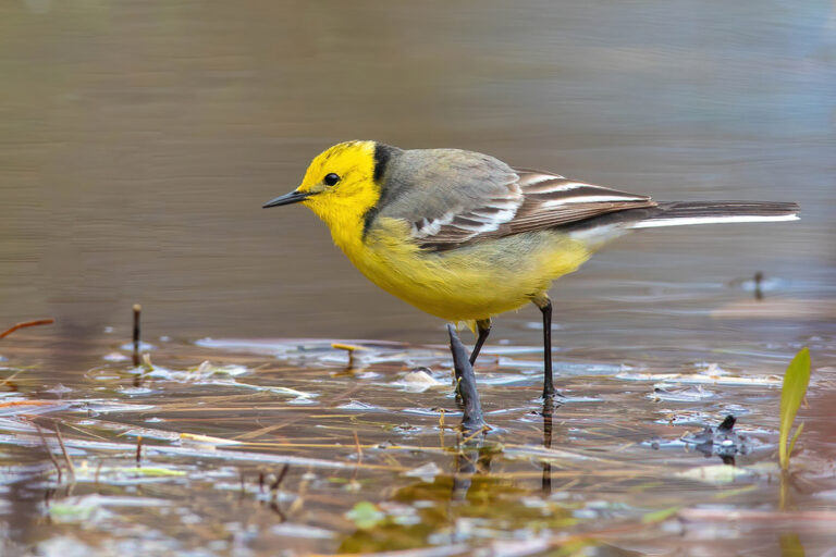
Motacilla citreola
♥
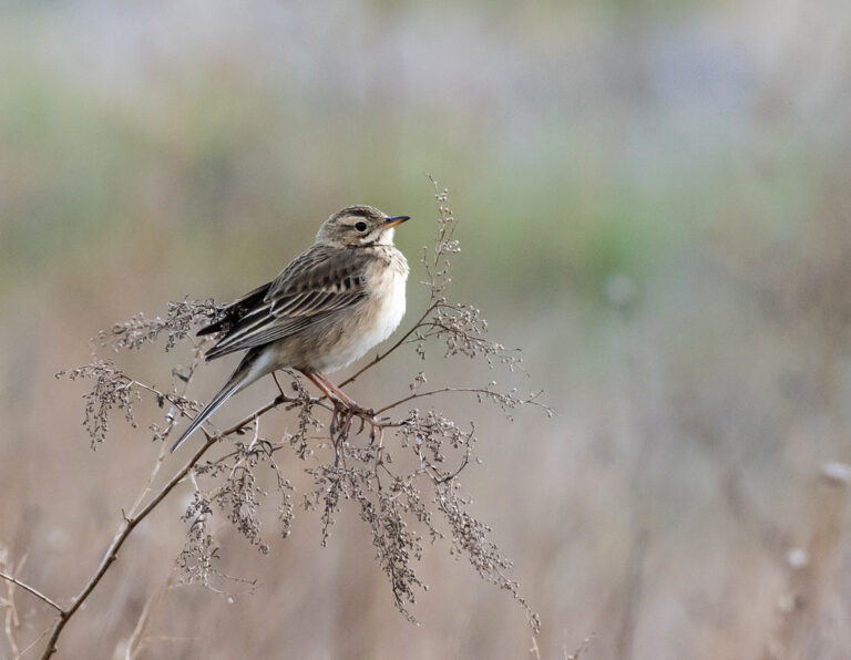
Anthus richardi
♥
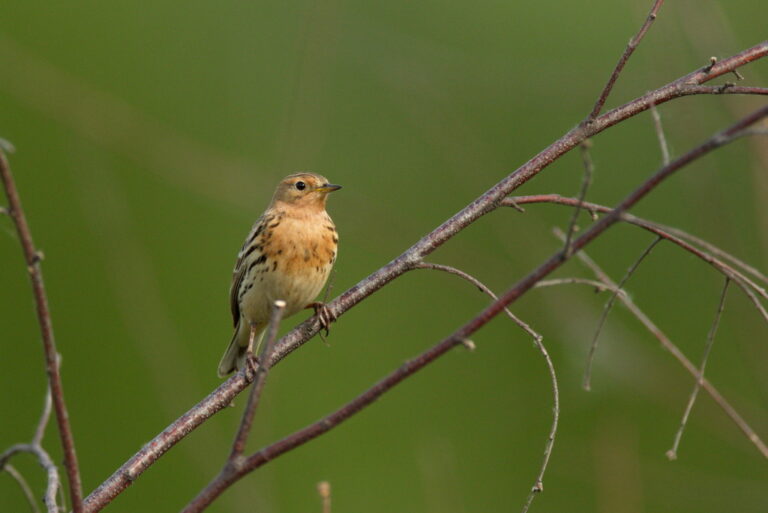
Anthus cervinus
♥
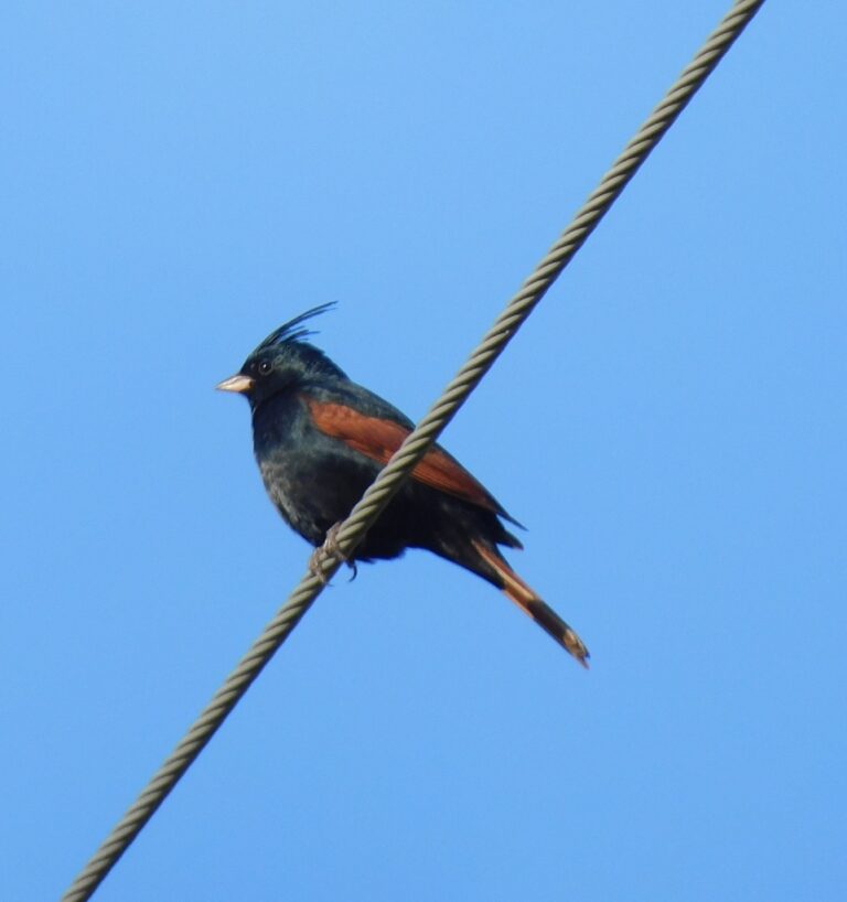
Emberiza lathami
♥
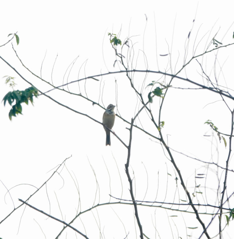
Emberiza fucata
♥
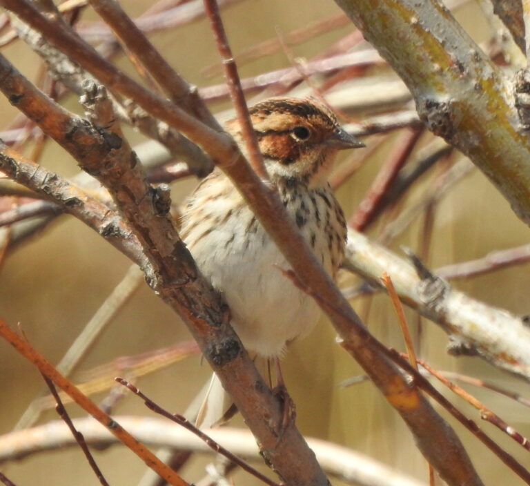
Emberiza pusilla
♥
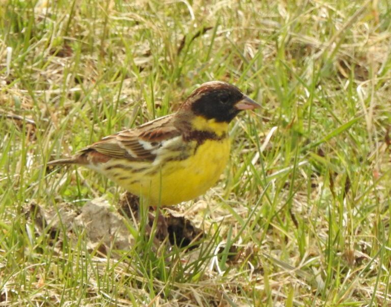
Emberiza aureola
♥
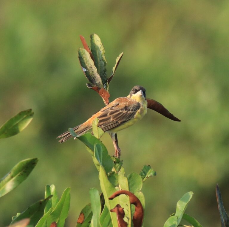
Emberiza melanocephala
♥
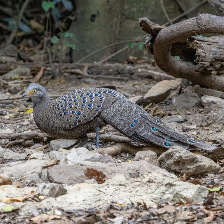
Polyplectron bicalcaratum
♥
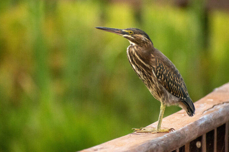
Butorides striata
♥
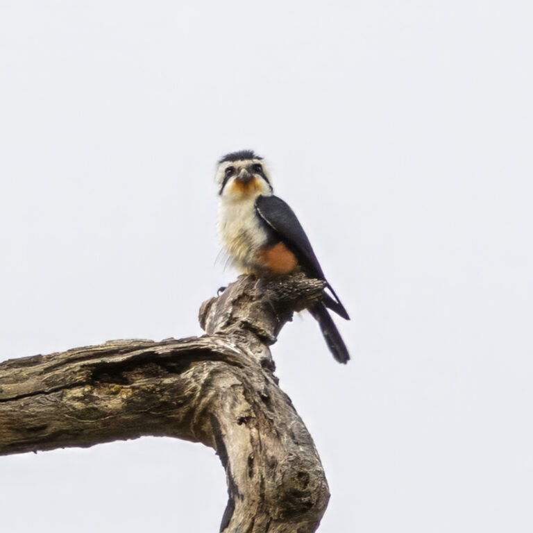
Microhierax caerulescens
♥
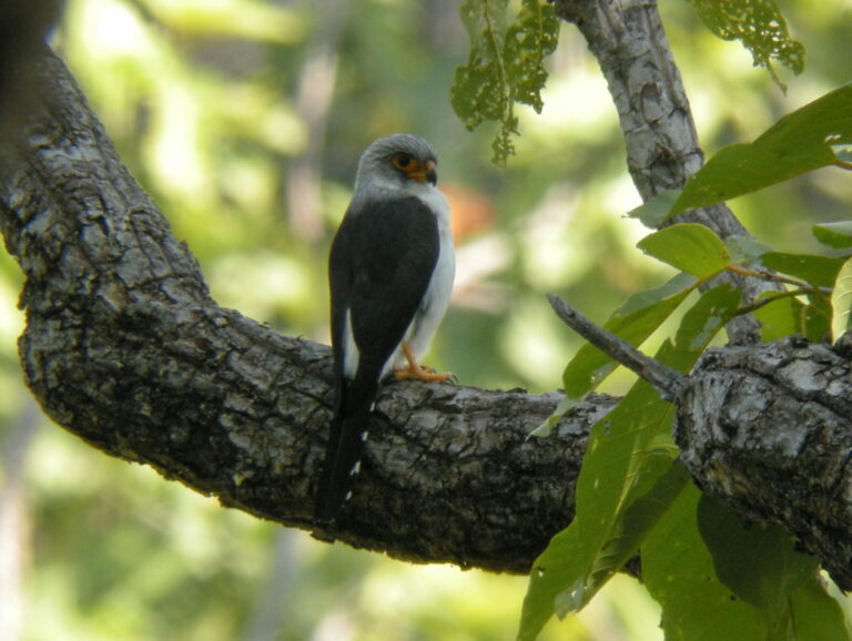
Neohierax insignis
♥
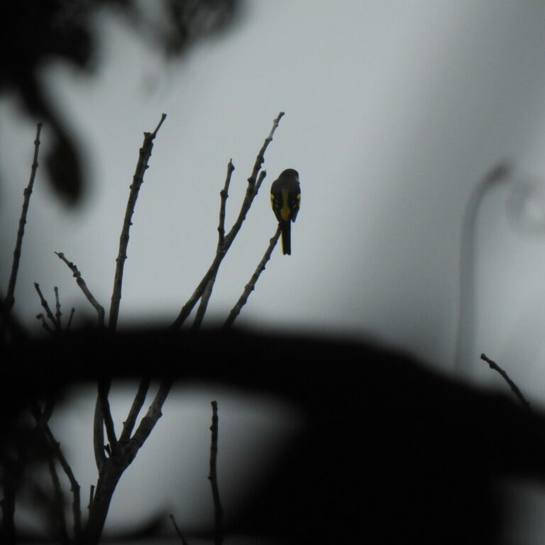
Pericrocotus flammeus
♥
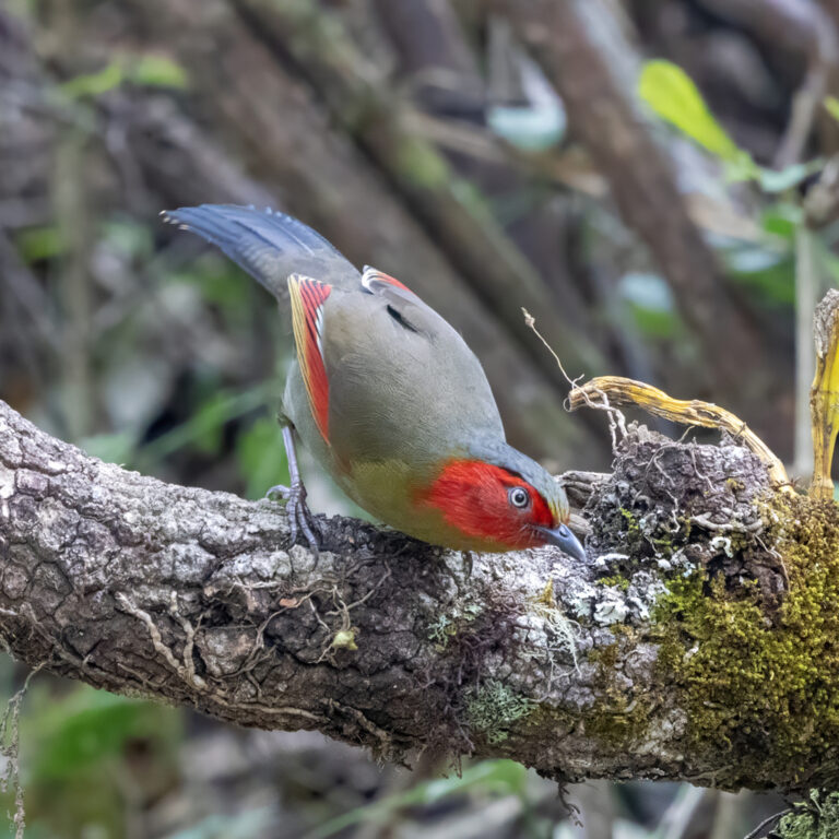
Liocichla ripponi
♥
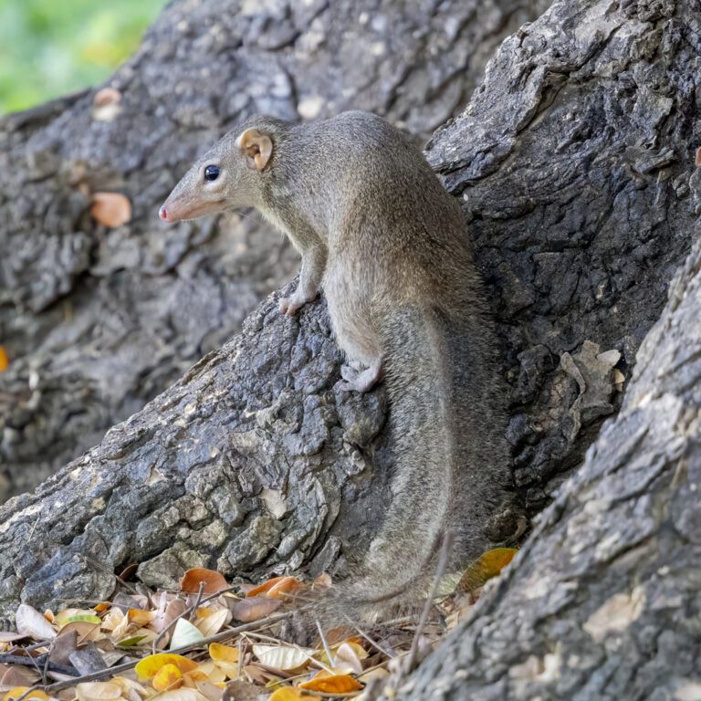
Tupaia belangeri
♥
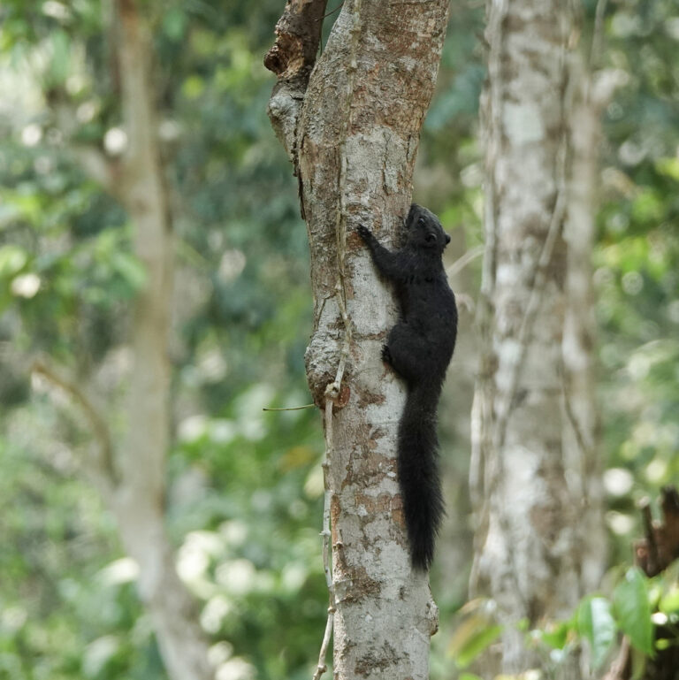
Callosciurus erythraeus
♥
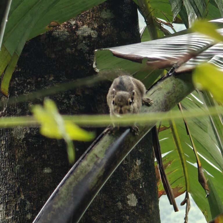
Tamiops mcclellandii
♥
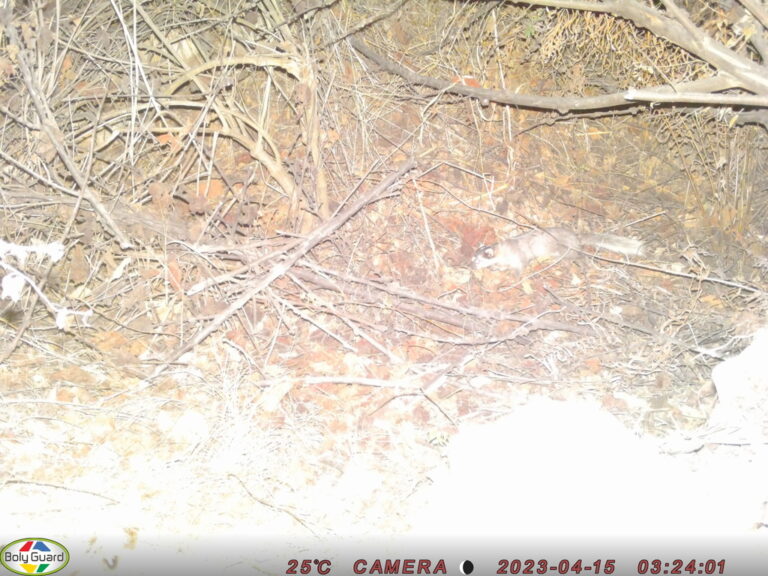
Melogale personata
♥
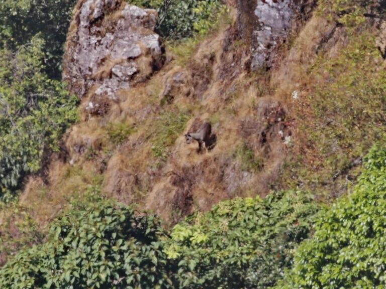
Naemorhedus evansi
♥
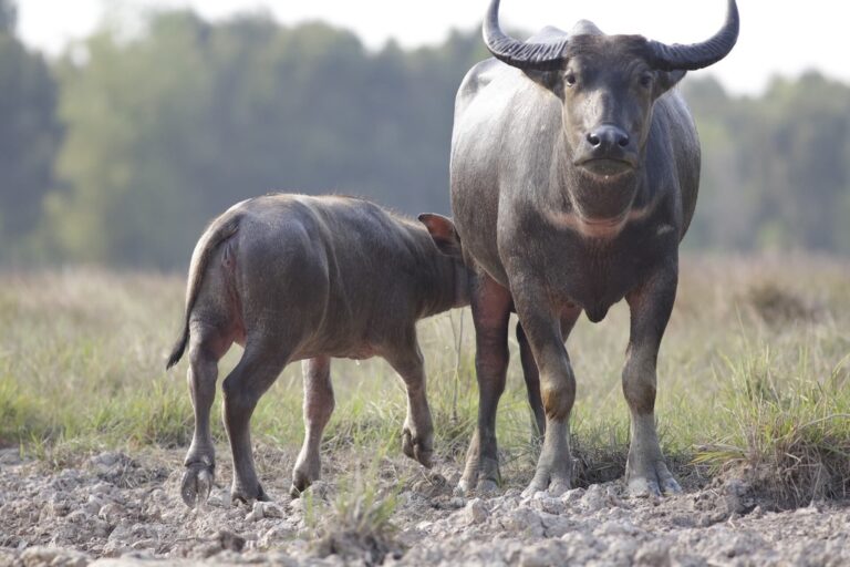
Bubalus bubalis
♥
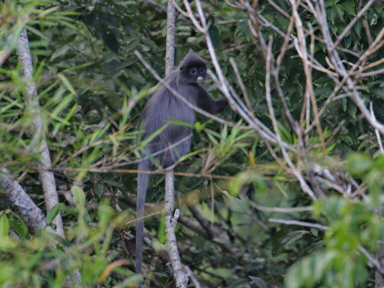
Trachypithecus crepusculus
♥
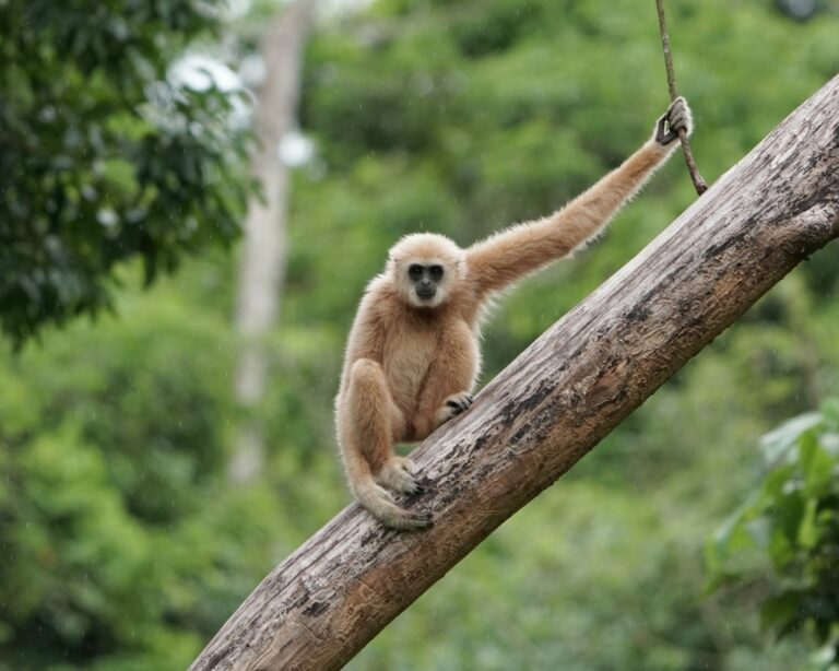
Hylobates lar
♥
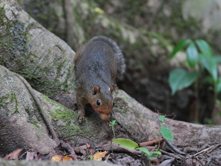
Dremomys rufigenis
♥
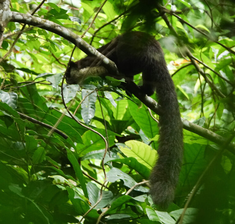
Ratufa bicolor
♥
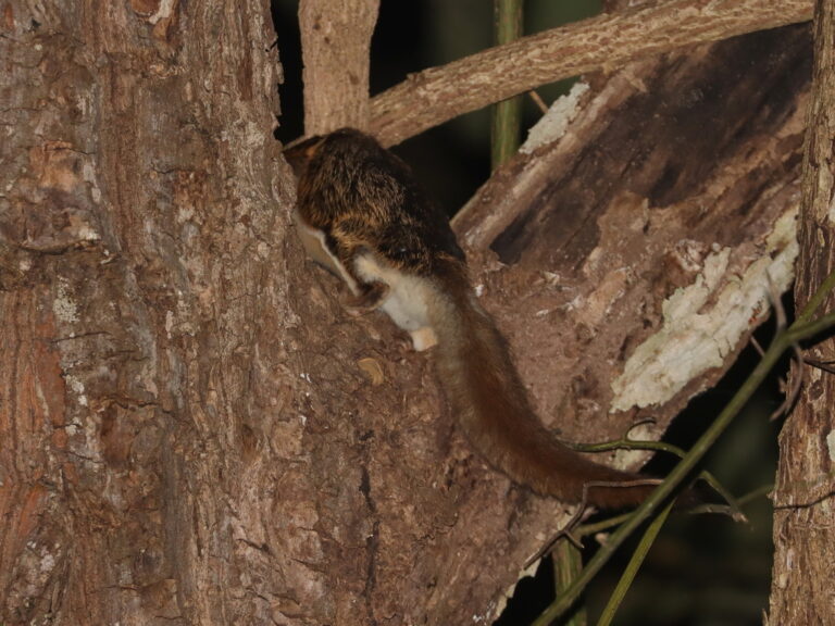
Belomys pearsonii
♥
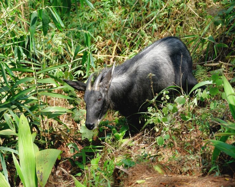
Capricornis sumatraensis
♥