Average annual temperature
25.7 °C
Average of the twelve monthly means
Website
penchnationalpark.in
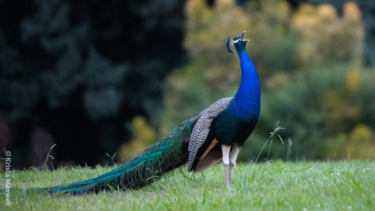
Pavo cristatus
♥
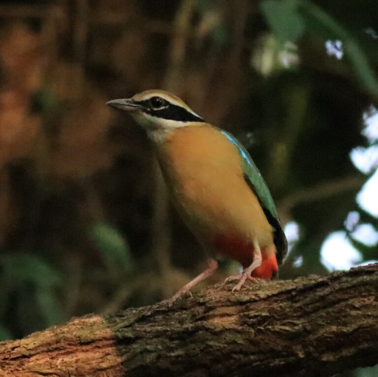
Pitta brachyura
♥
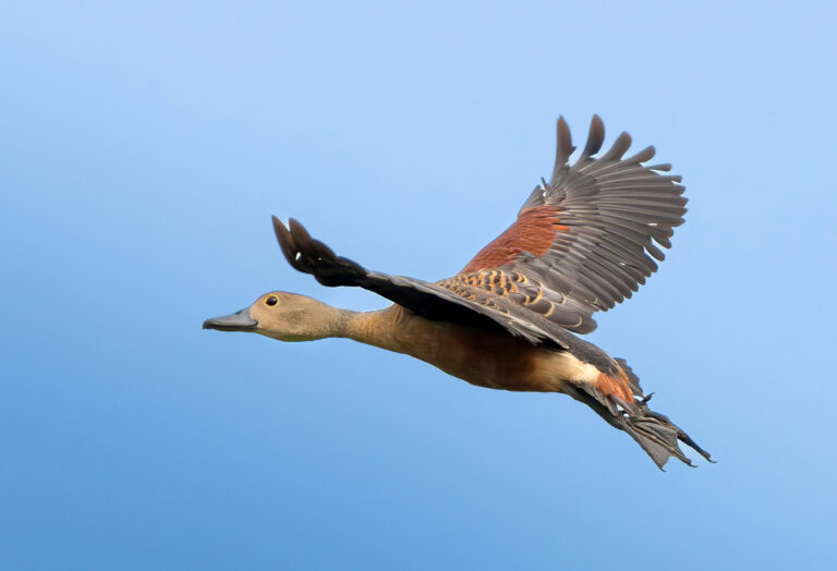
Dendrocygna javanica
♥
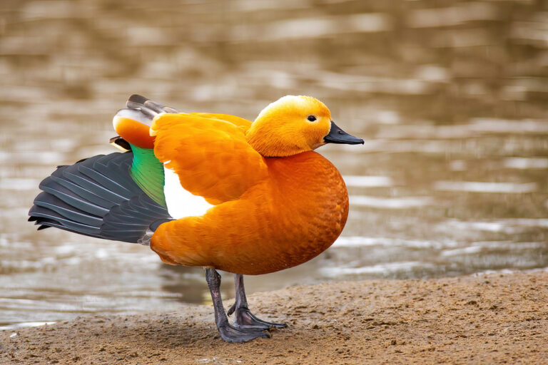
Tadorna ferruginea
♥
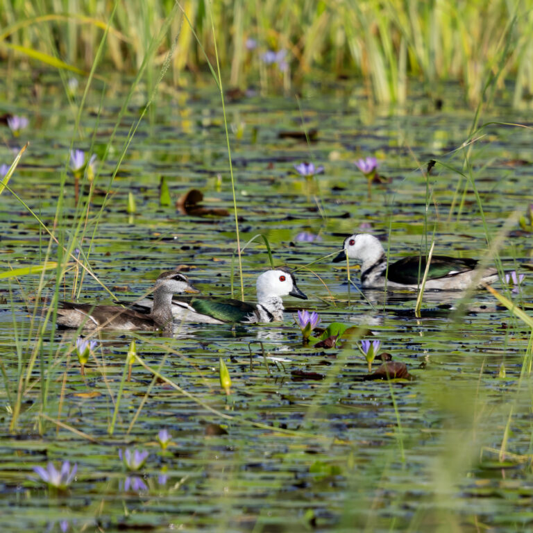
Nettapus coromandelianus
♥
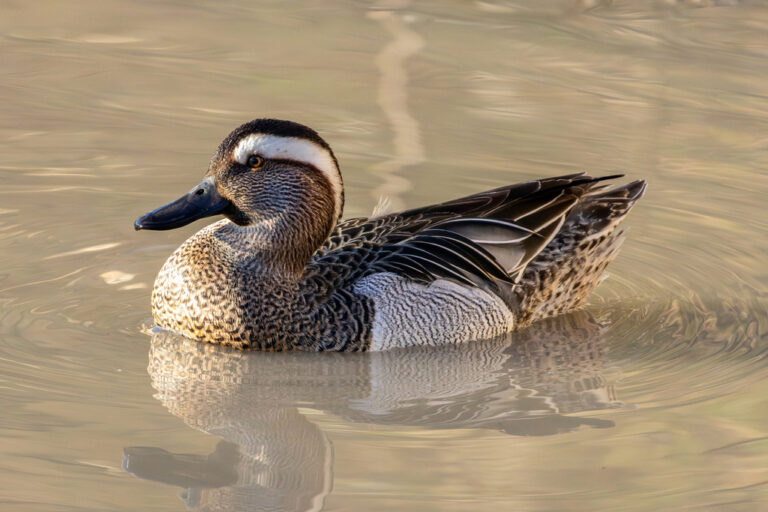
Spatula querquedula
♥
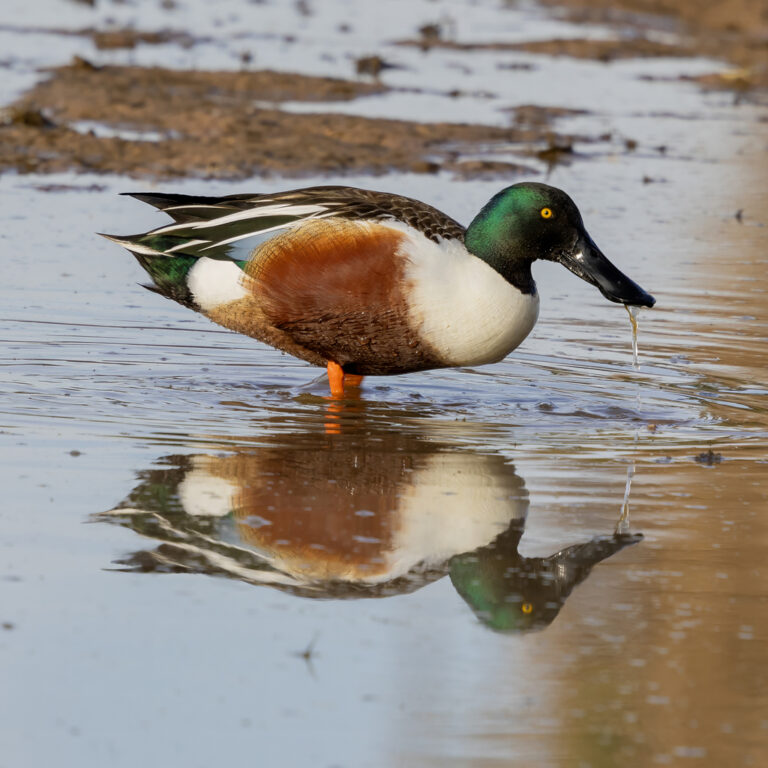
Spatula clypeata
♥
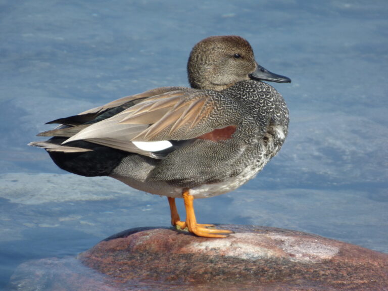
Mareca strepera
♥
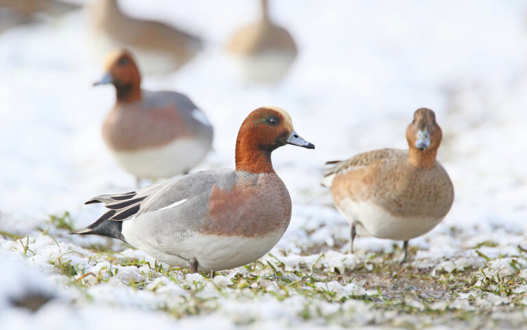
Mareca penelope
♥
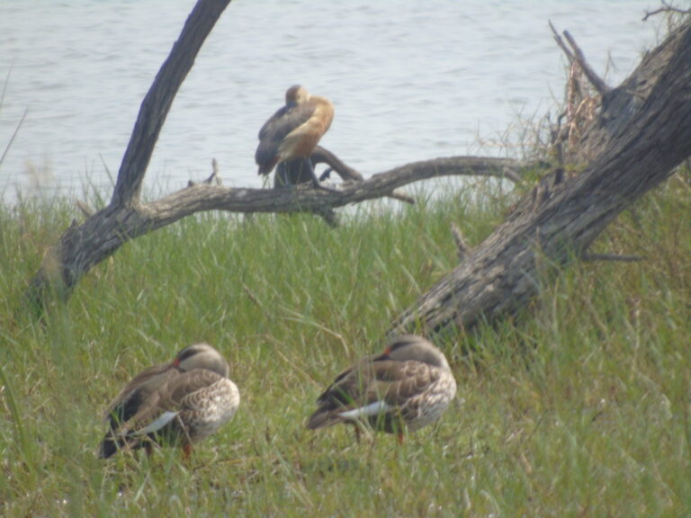
Anas poecilorhyncha
♥
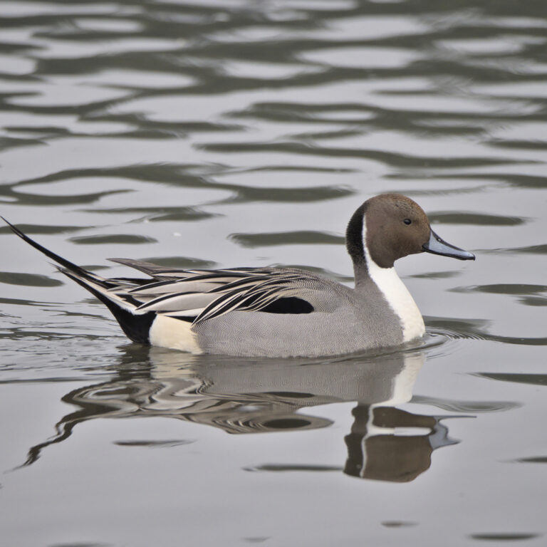
Anas acuta
♥
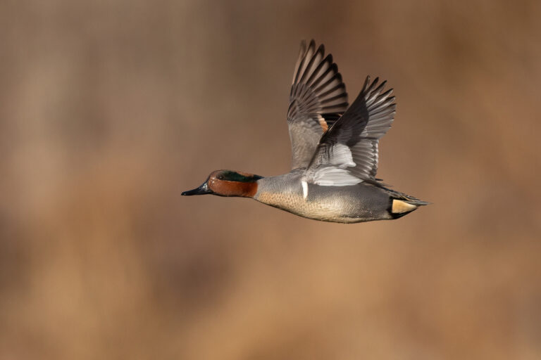
Anas crecca
♥
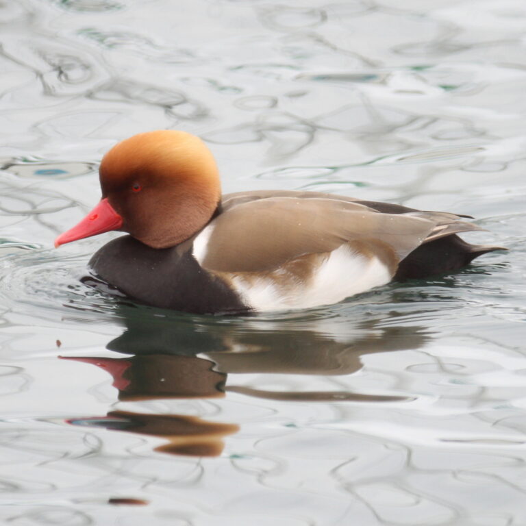
Netta rufina
♥
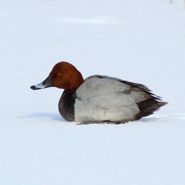
Aythya ferina
♥
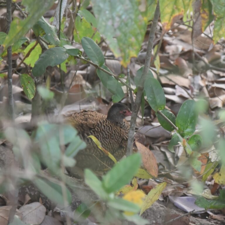
Galloperdix spadicea
♥
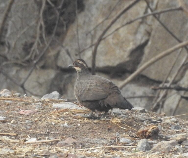
Galloperdix lunulata
♥
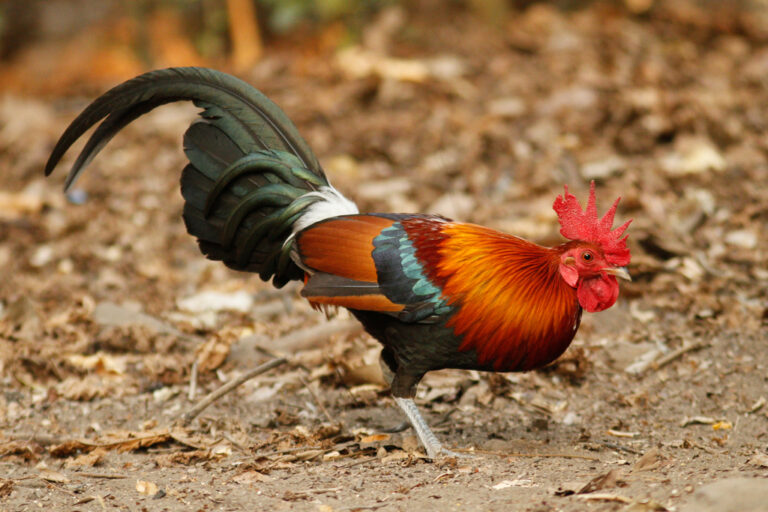
Gallus gallus
♥
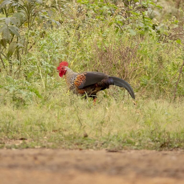
Gallus sonneratii
♥
Perdicula asiatica
♥
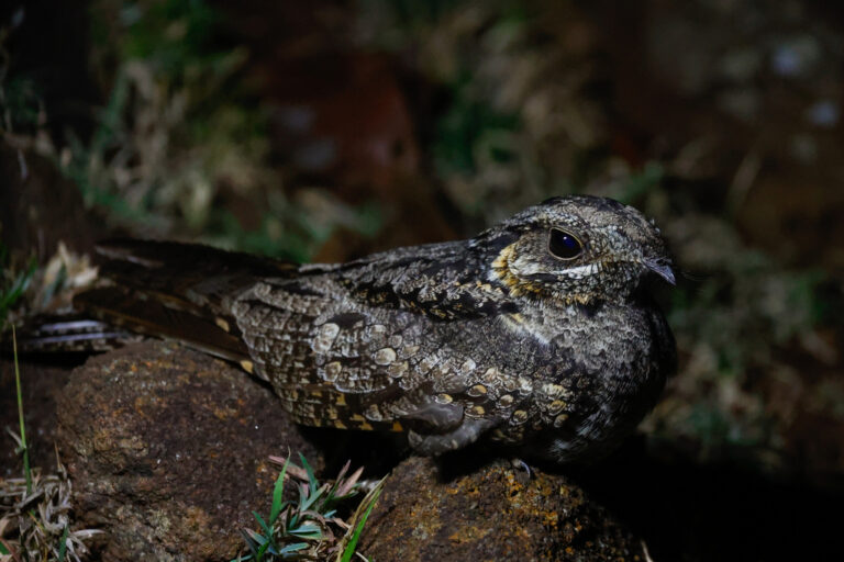
Caprimulgus indicus
♥
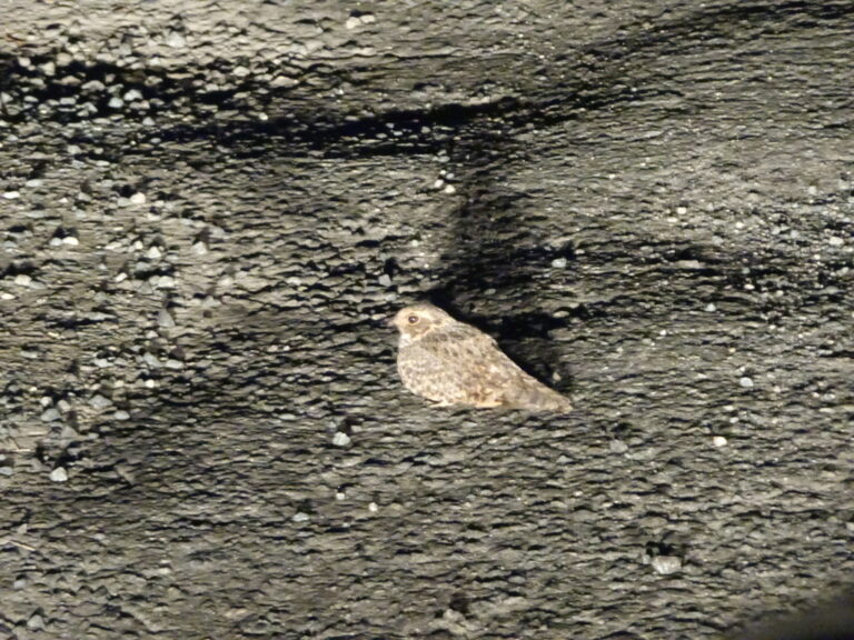
Caprimulgus affinis
♥
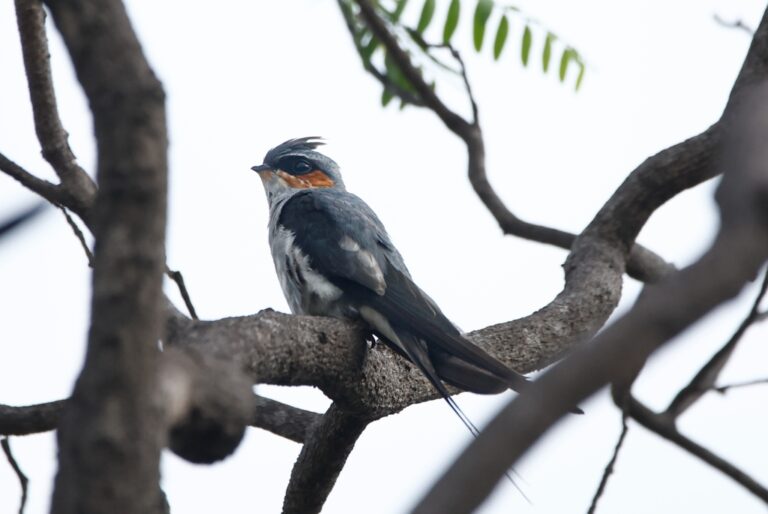
Hemiprocne coronata
♥
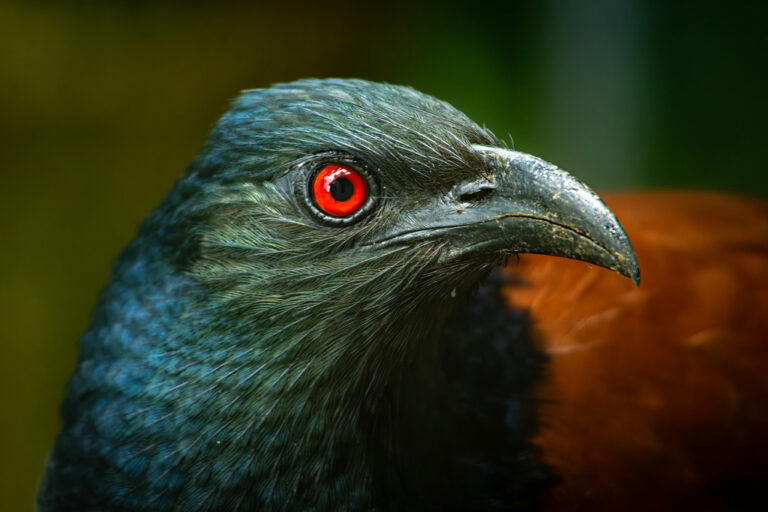
Centropus sinensis
♥
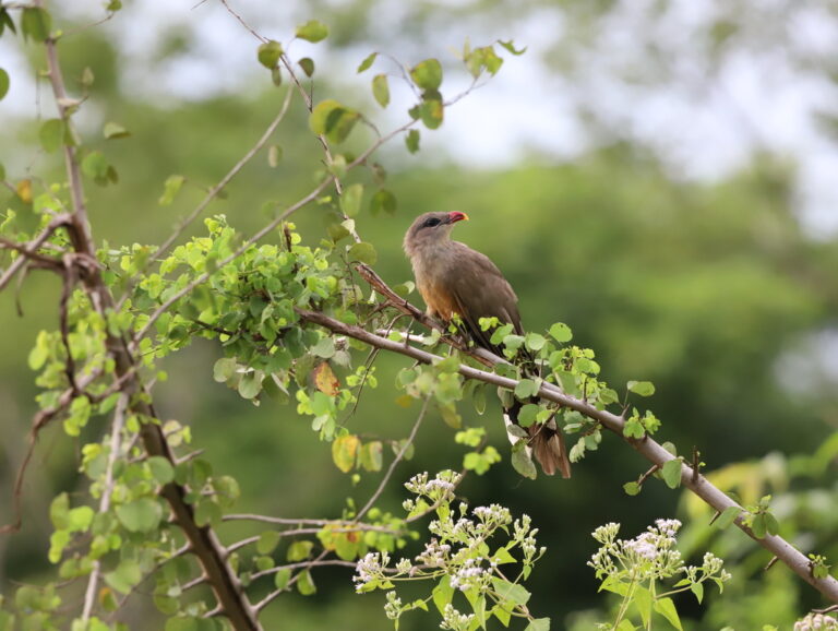
Taccocua leschenaultii
♥
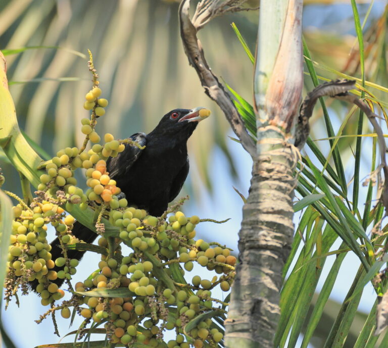
Eudynamys scolopaceus
♥
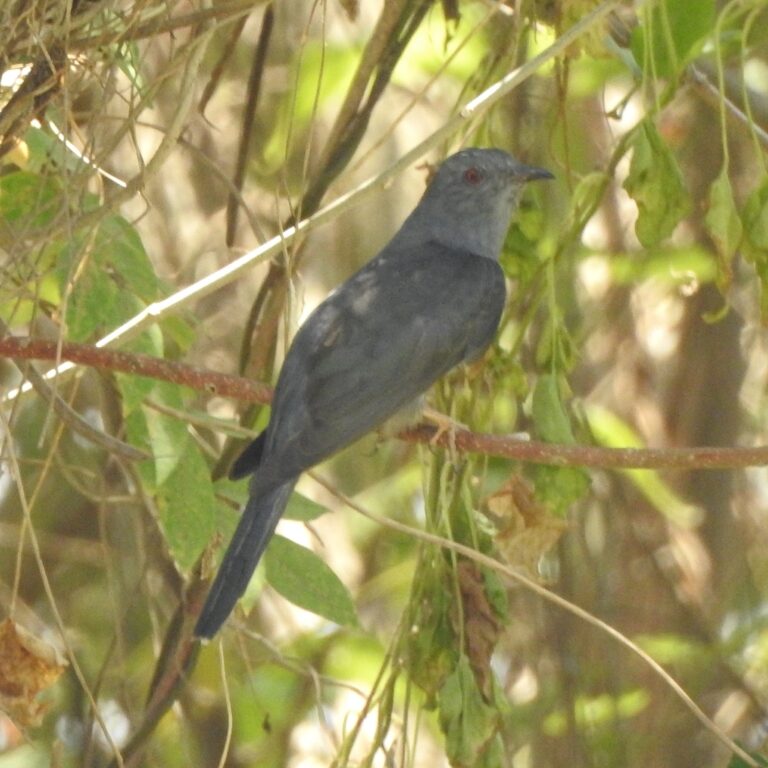
Cacomantis passerinus
♥
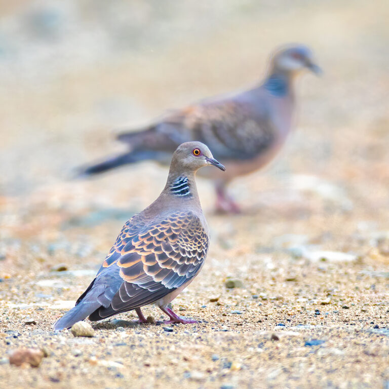
Streptopelia orientalis
♥
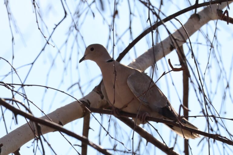
Streptopelia decaocto
♥
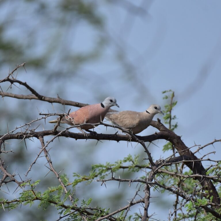
Streptopelia tranquebarica
♥
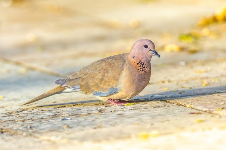
Spilopelia senegalensis
♥
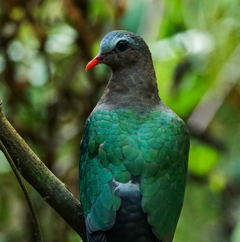
Chalcophaps indica
♥
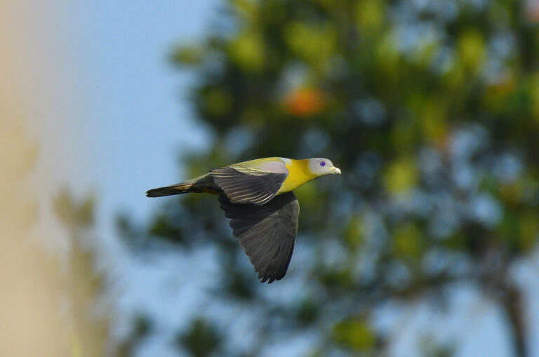
Treron phoenicopterus
♥
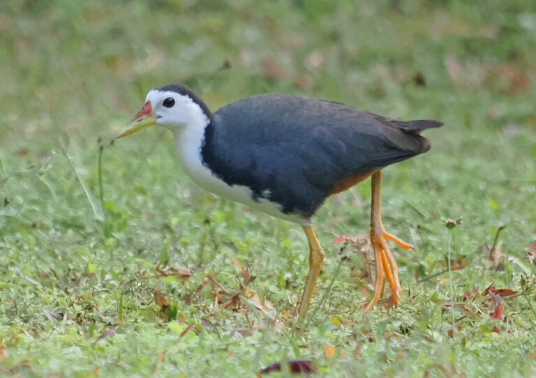
Amaurornis phoenicurus
♥
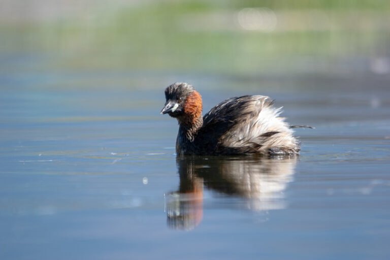
Tachybaptus ruficollis
♥
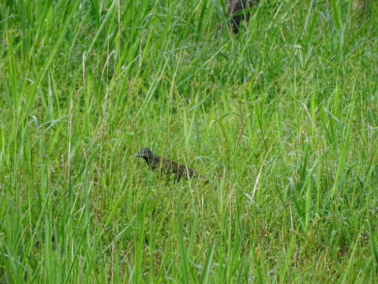
Turnix suscitator
♥
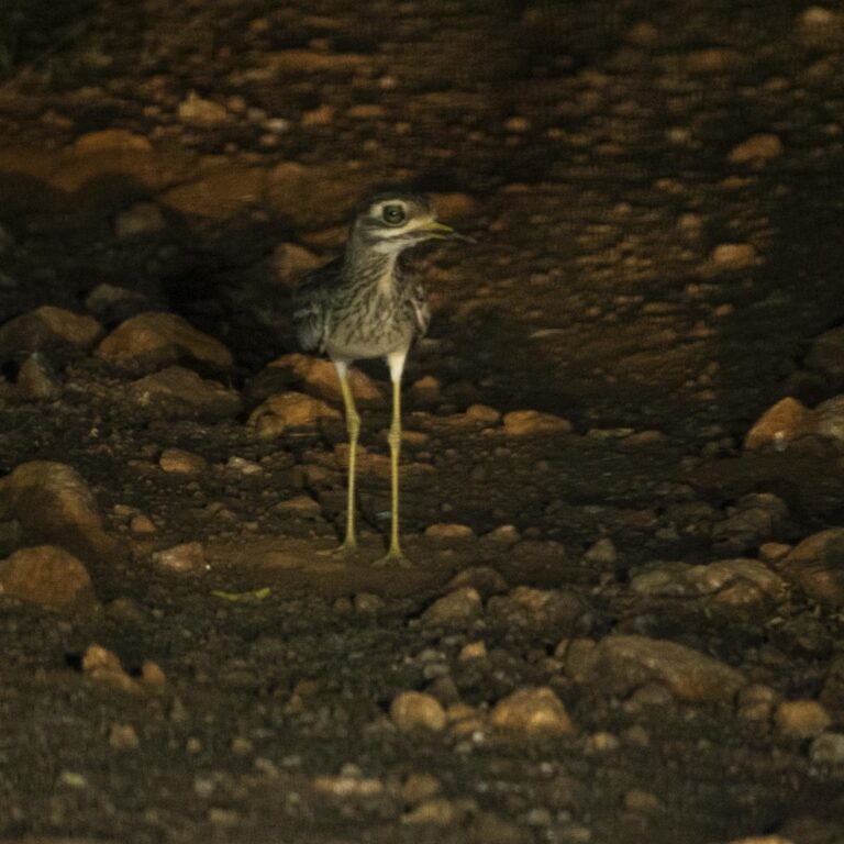
Burhinus indicus
♥
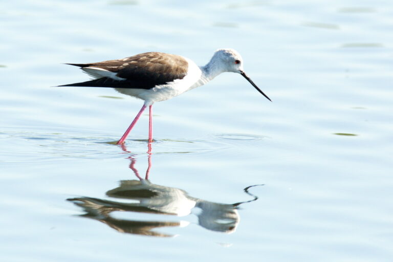
Himantopus himantopus
♥
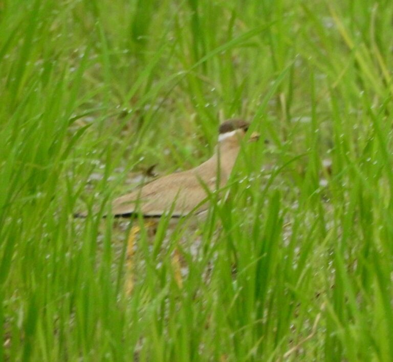
Vanellus malabaricus
♥
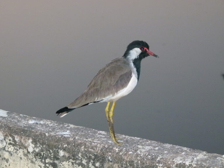
Vanellus indicus
♥
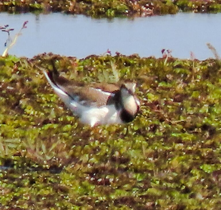
Hydrophasianus chirurgus
♥
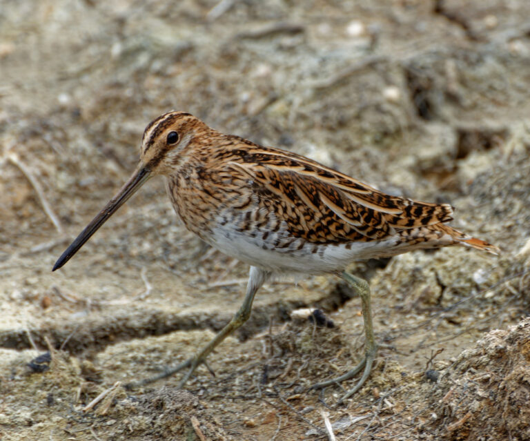
Gallinago gallinago
♥
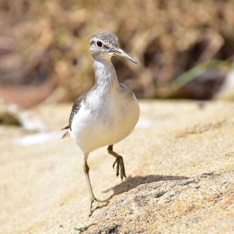
Actitis hypoleucos
♥
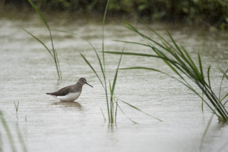
Tringa ochropus
♥
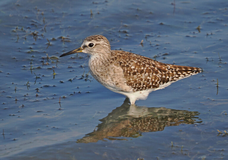
Tringa glareola
♥
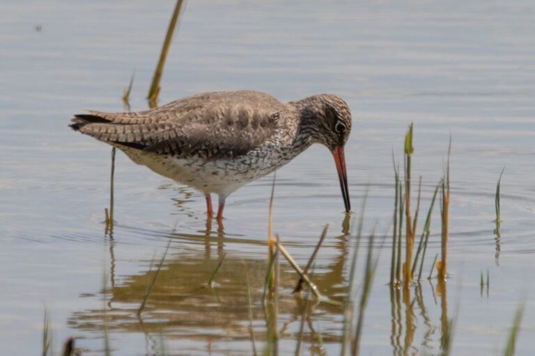
Tringa totanus
♥
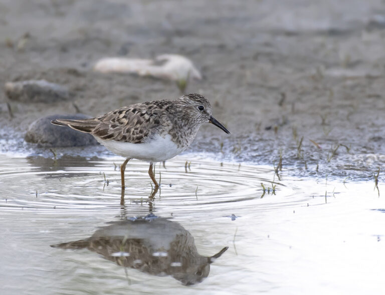
Calidris temminckii
♥
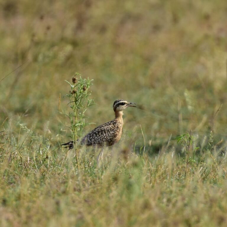
Cursorius coromandelicus
♥
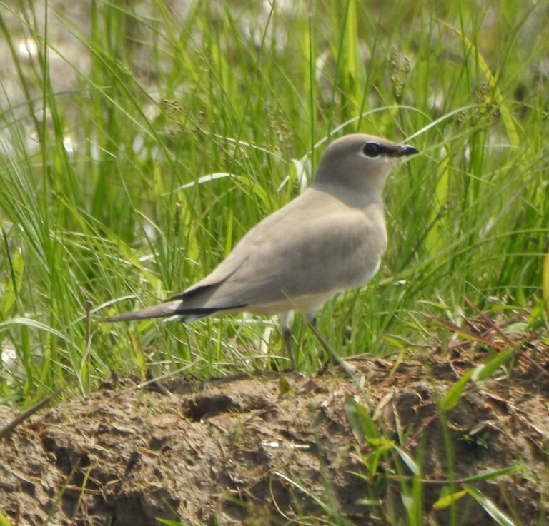
Glareola lactea
♥
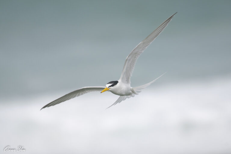
Sternula albifrons
♥
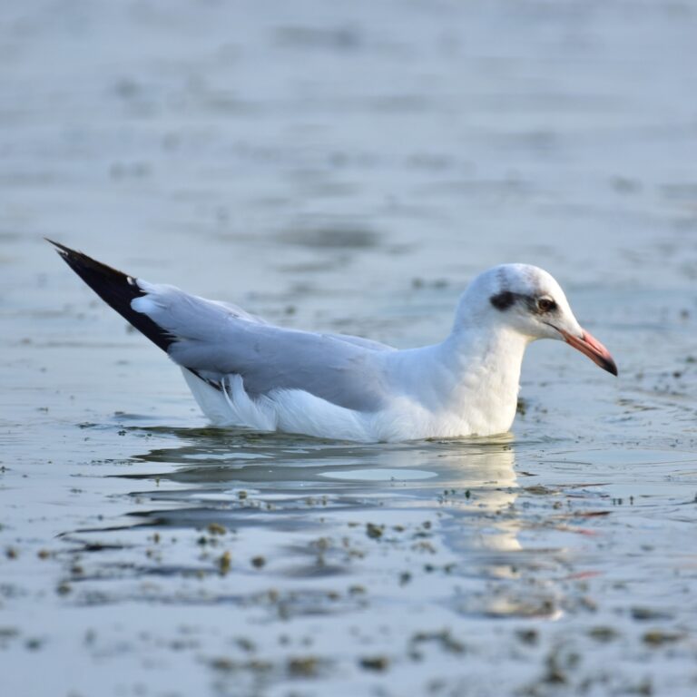
Chroicocephalus brunnicephalus
♥
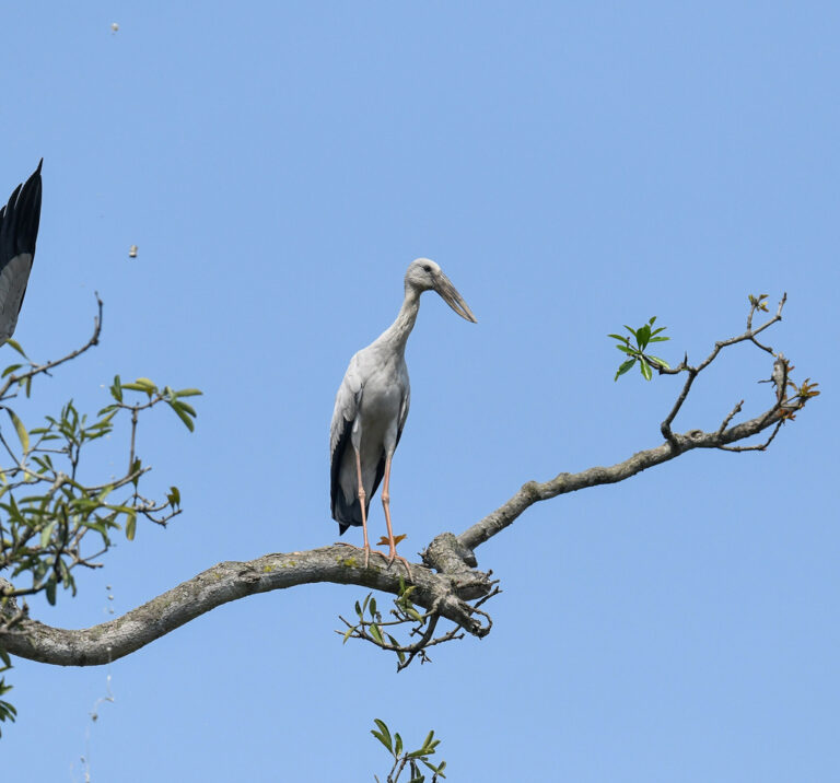
Anastomus oscitans
♥
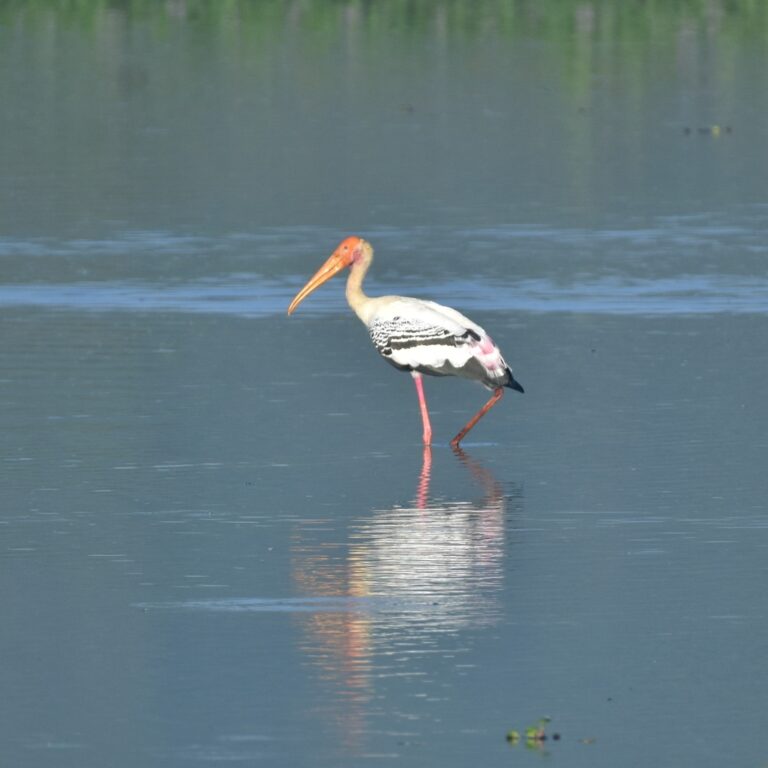
Mycteria leucocephala
♥
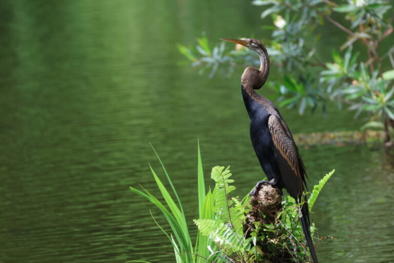
Anhinga melanogaster
♥
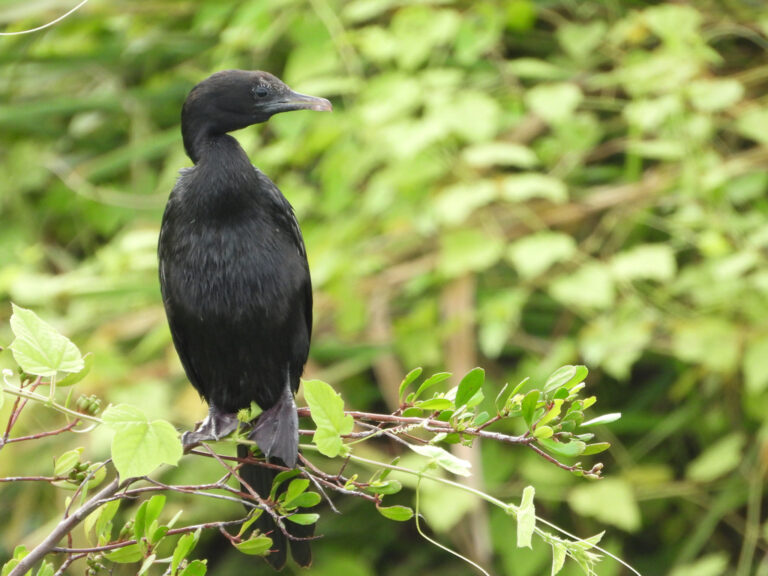
Microcarbo niger
♥
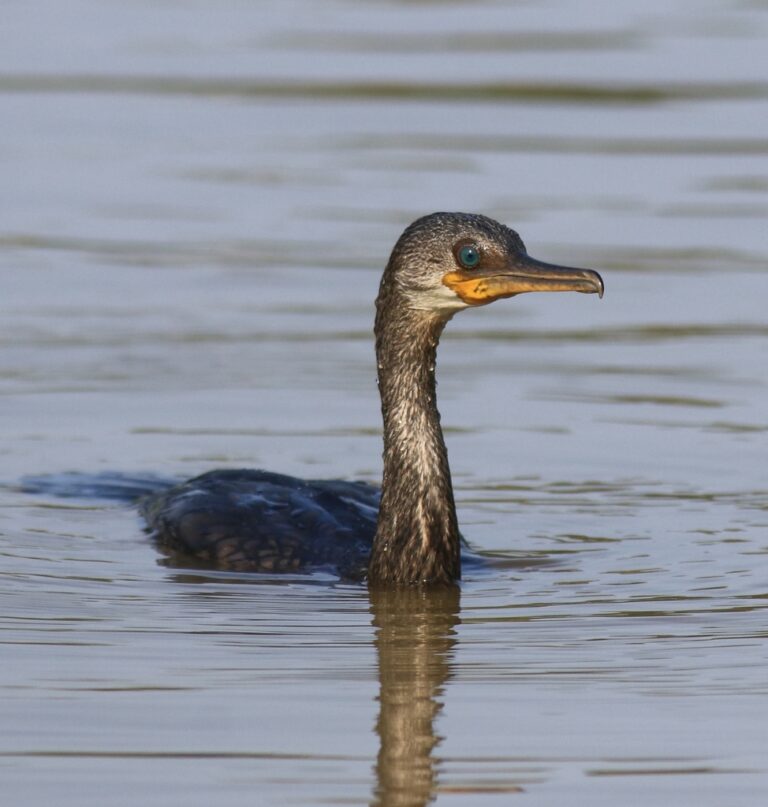
Phalacrocorax fuscicollis
♥
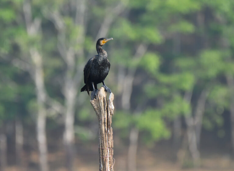
Phalacrocorax carbo
♥
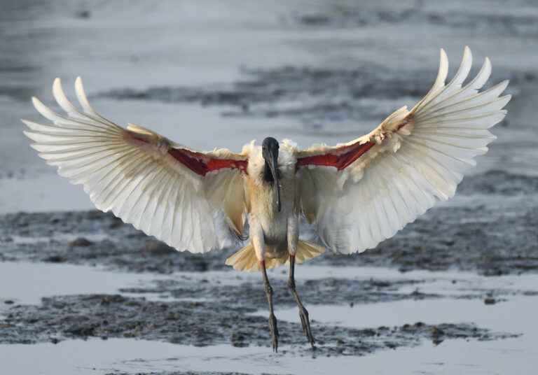
Threskiornis melanocephalus
♥
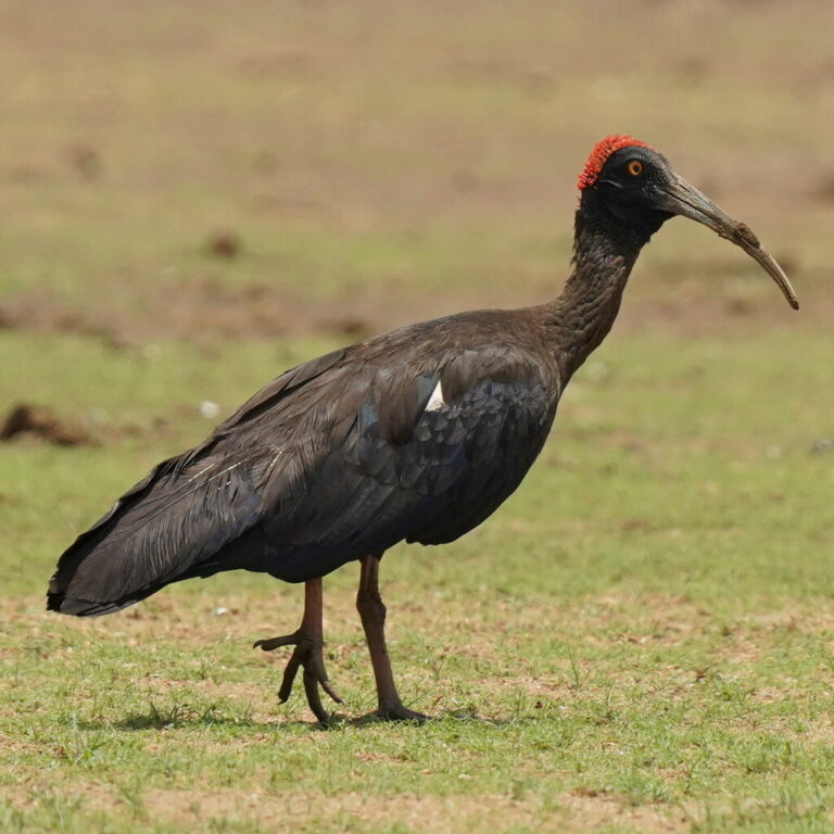
Pseudibis papillosa
♥
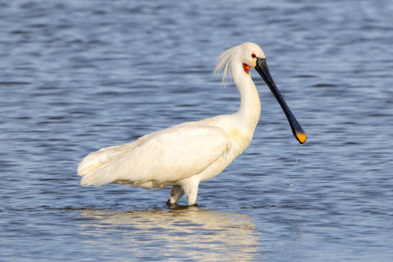
Platalea leucorodia
♥
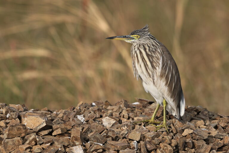
Ardeola grayii
♥
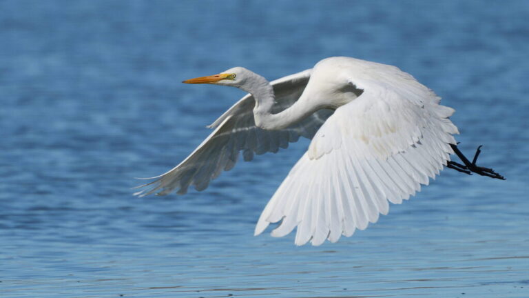
Ardea alba
♥
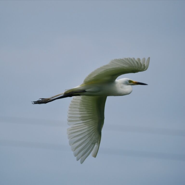
Ardea intermedia
♥
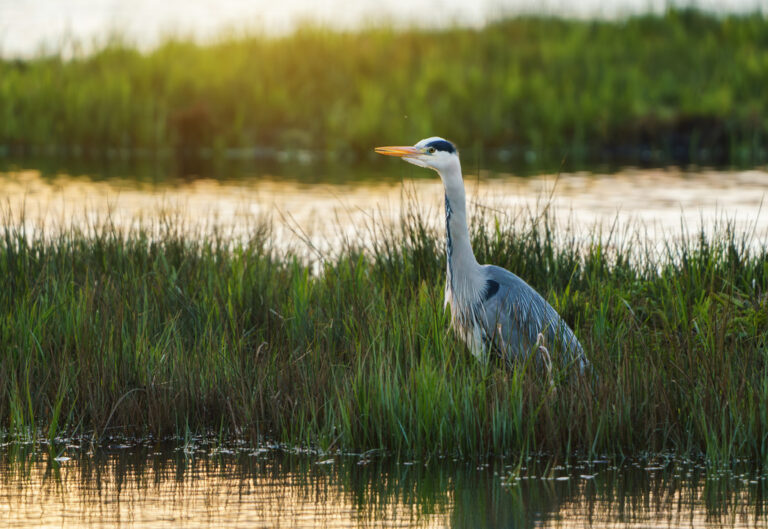
Ardea cinerea
♥
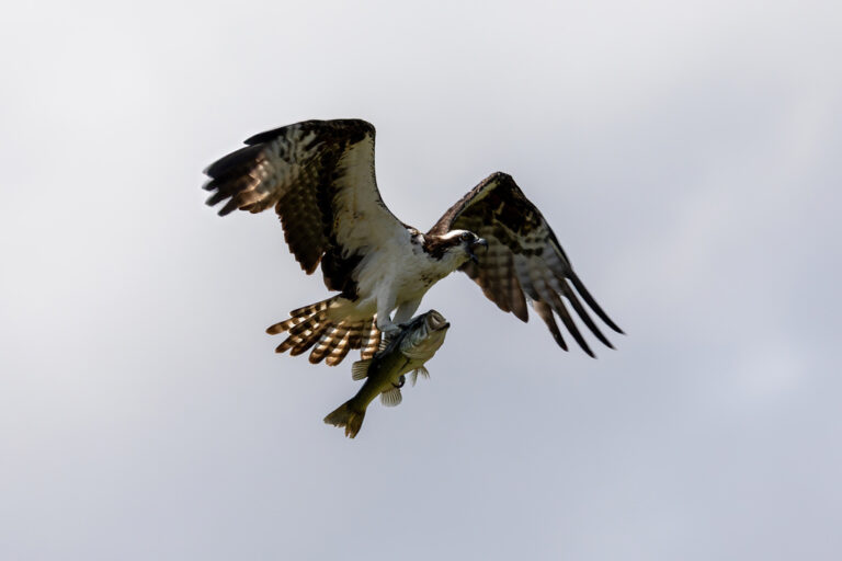
Pandion haliaetus
♥
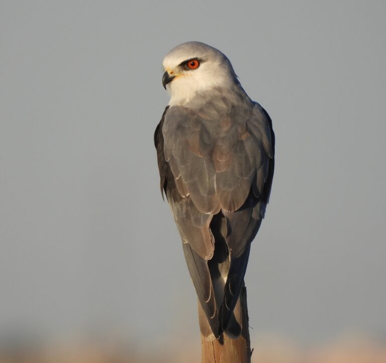
Elanus caeruleus
♥
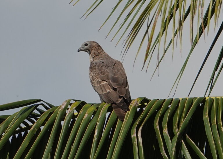
Pernis ptilorhynchus
♥
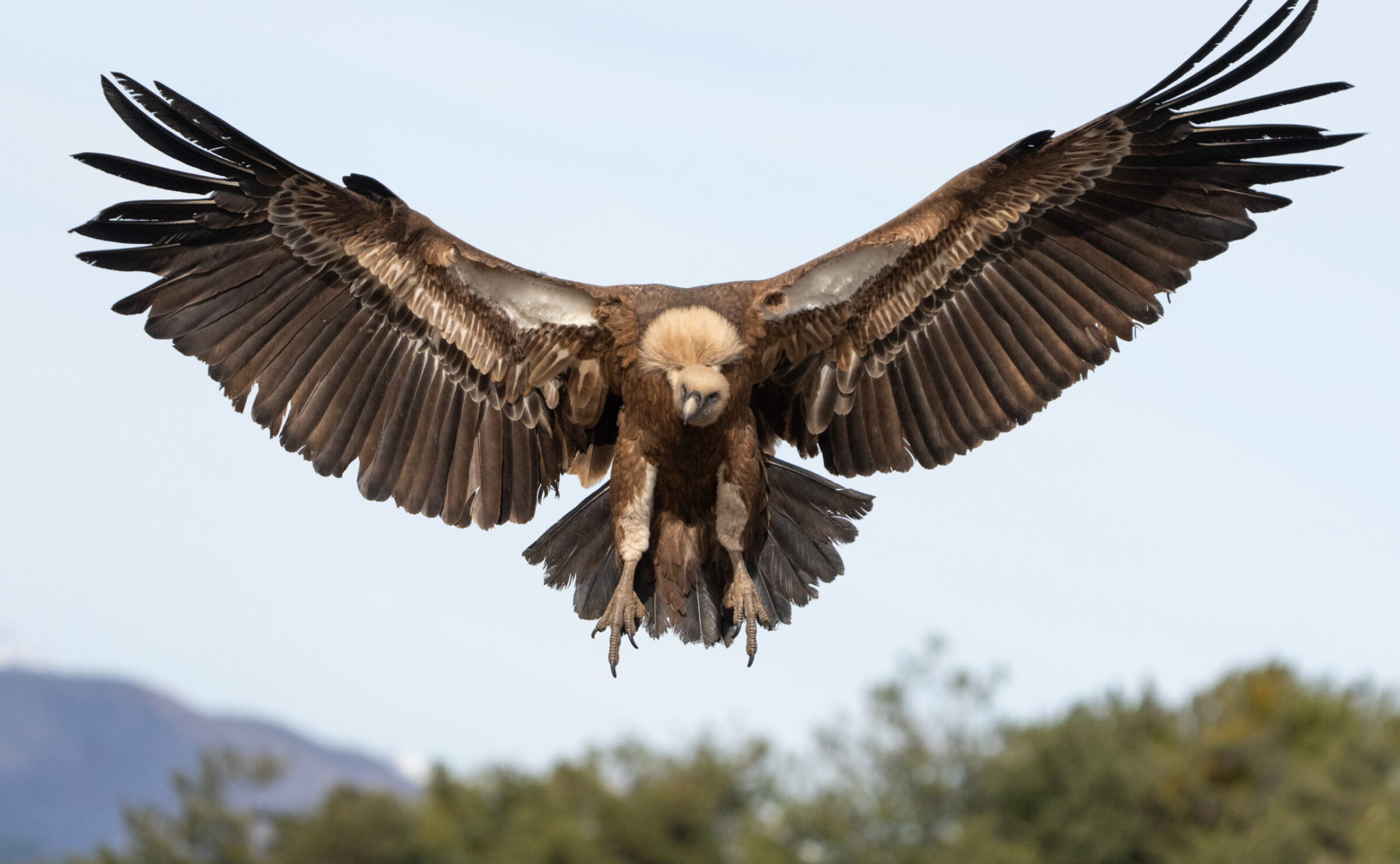
Gyps fulvus
♥
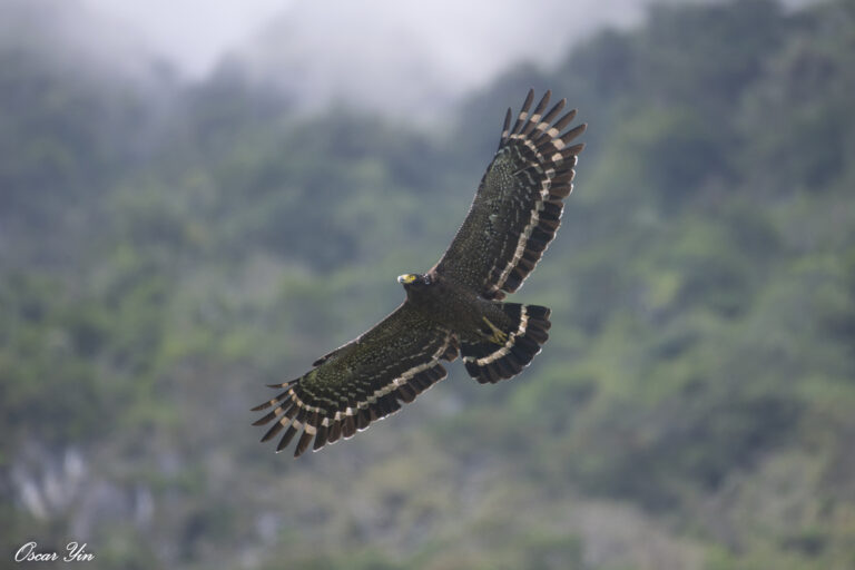
Spilornis cheela
♥
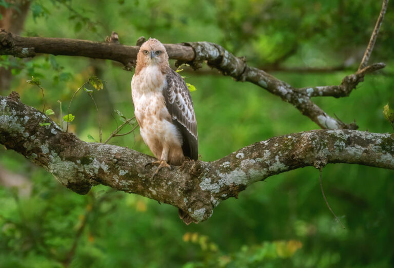
Nisaetus cirrhatus
♥
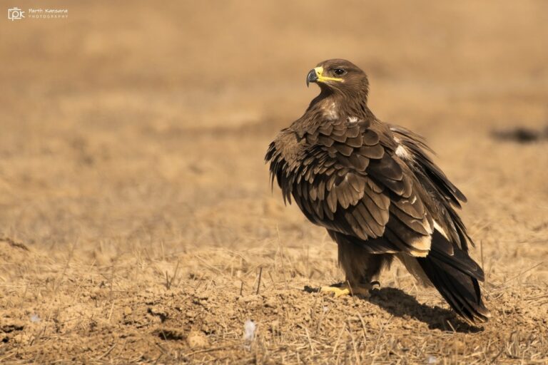
Aquila nipalensis
♥
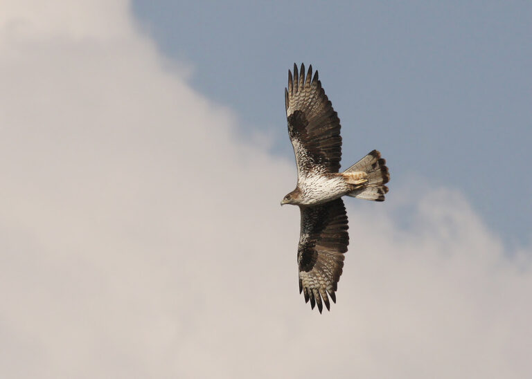
Aquila fasciata
♥
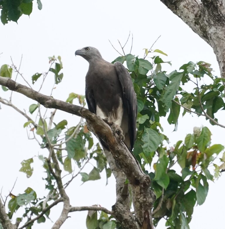
Icthyophaga ichthyaetus
♥
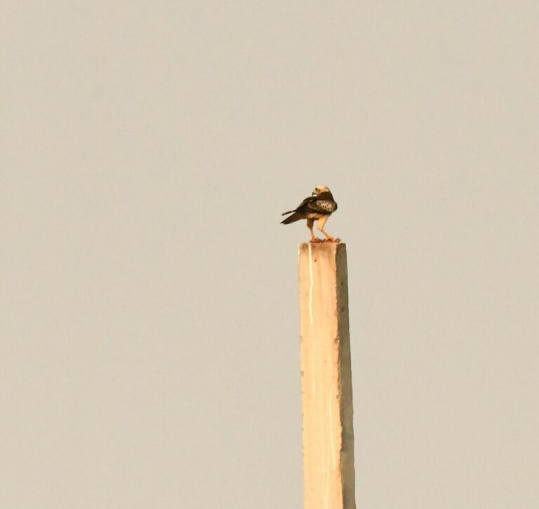
Butastur teesa
♥
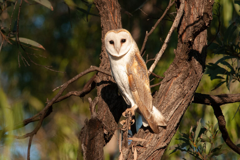
Tyto javanica
♥
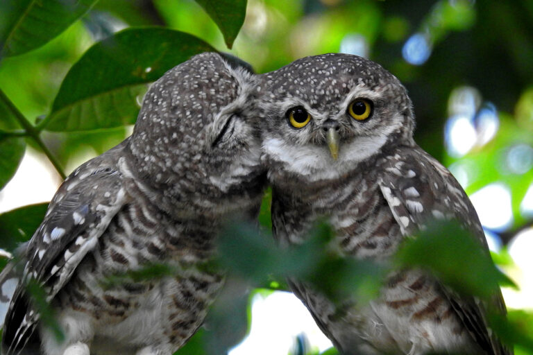
Athene brama
♥
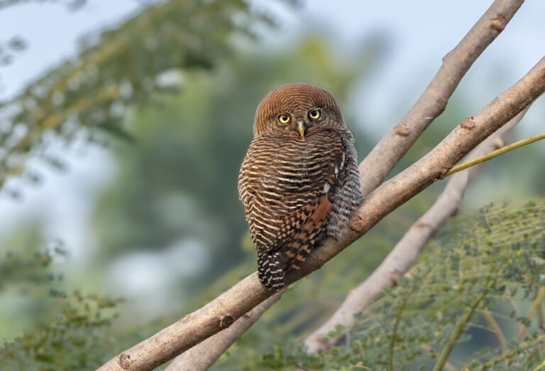
Glaucidium radiatum
♥
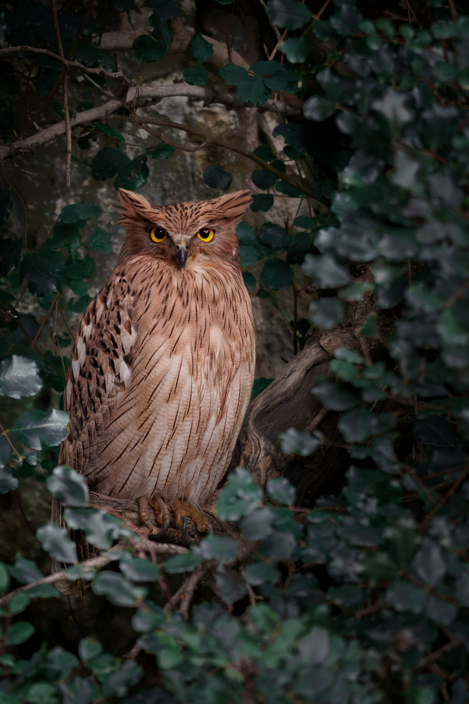
Ketupa zeylonensis
♥
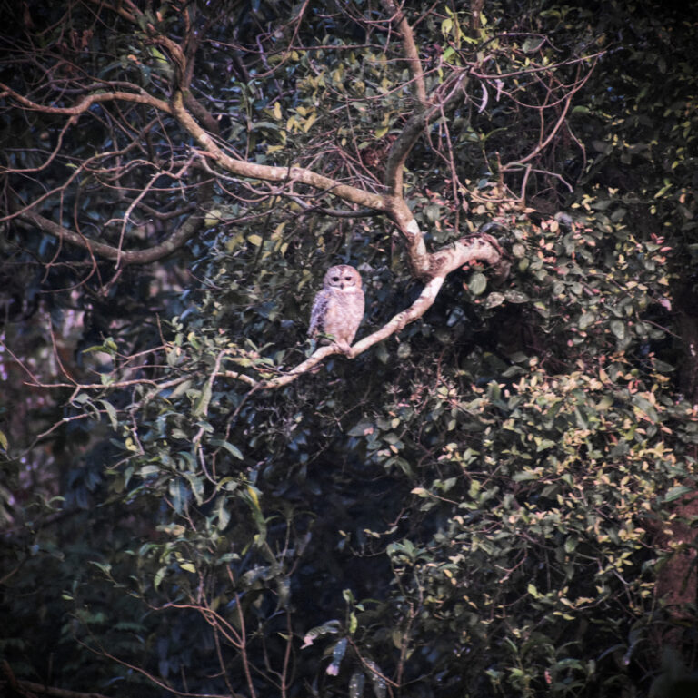
Strix ocellata
♥
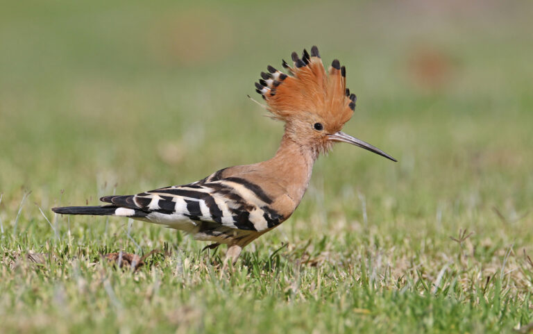
Upupa epops
♥
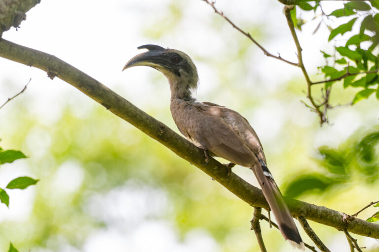
Ocyceros birostris
♥
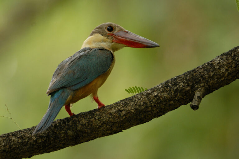
Pelargopsis capensis
♥
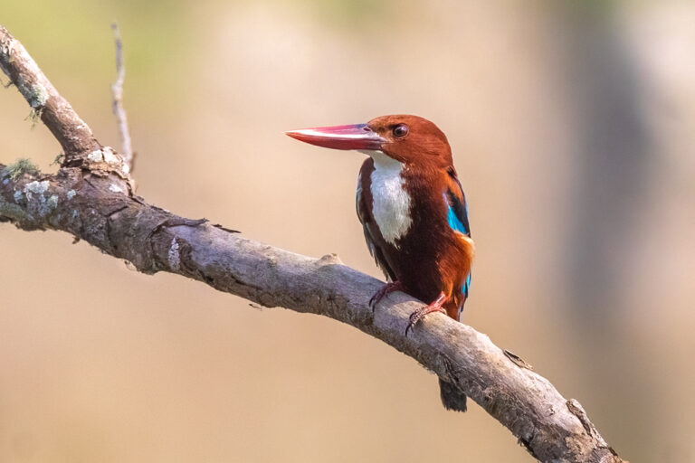
Halcyon smyrnensis
♥
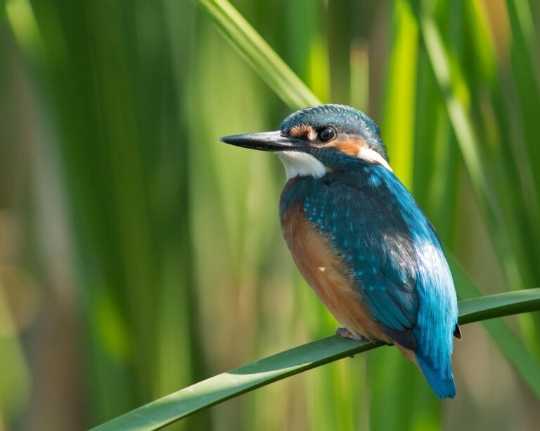
Alcedo atthis
♥
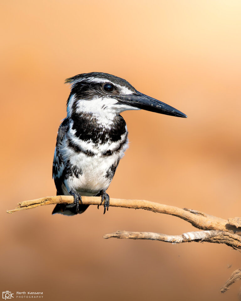
Ceryle rudis
♥
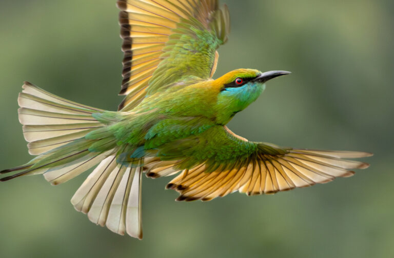
Merops orientalis
♥
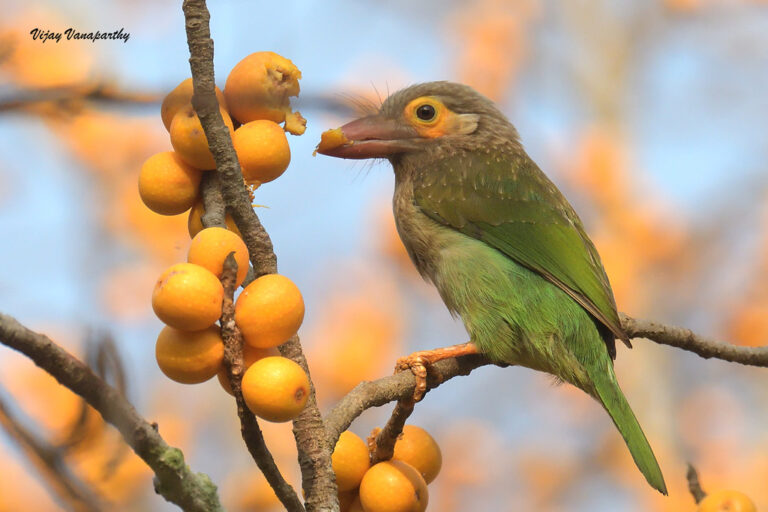
Psilopogon zeylanicus
♥
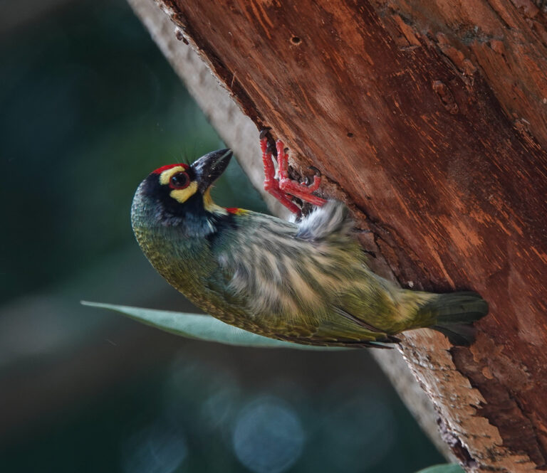
Psilopogon haemacephalus
♥
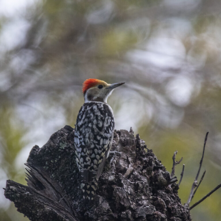
Leiopicus mahrattensis
♥
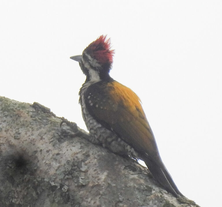
Dinopium benghalense
♥
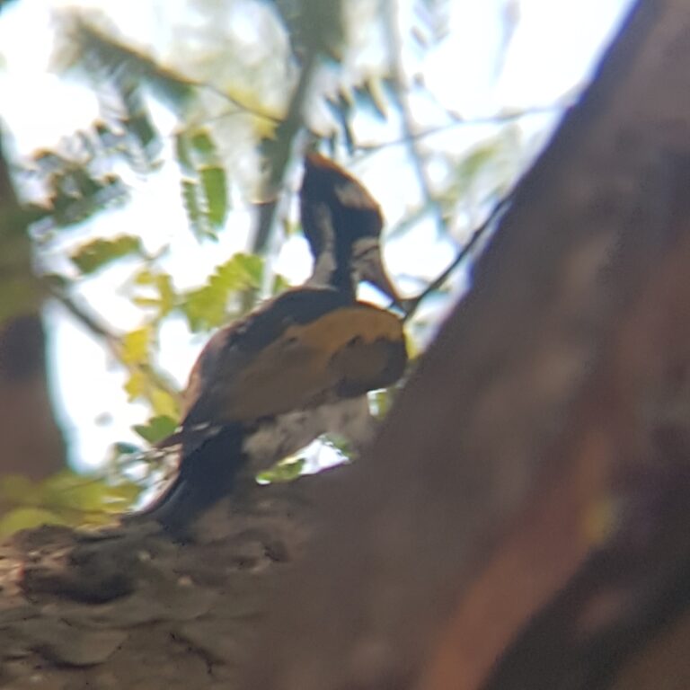
Chrysocolaptes festivus
♥
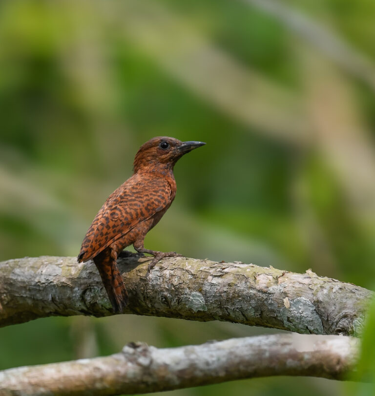
Micropternus brachyurus
♥
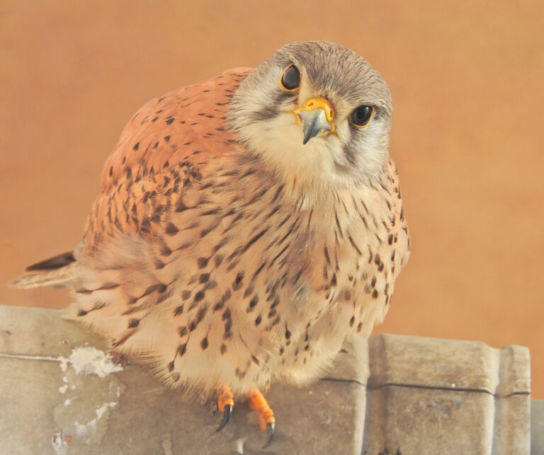
Falco tinnunculus
♥
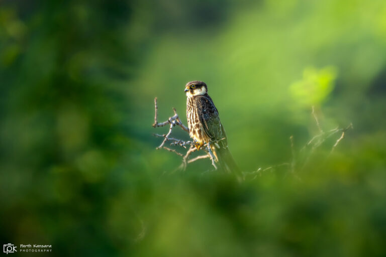
Falco subbuteo
♥
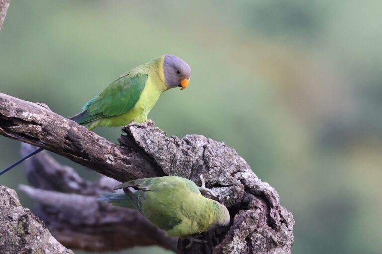
Psittacula cyanocephala
♥
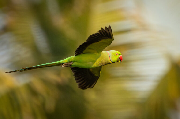
Psittacula krameri
♥
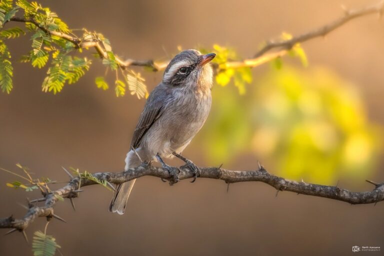
Tephrodornis pondicerianus
♥
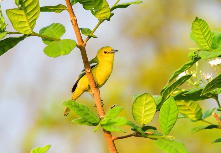
Aegithina tiphia
♥
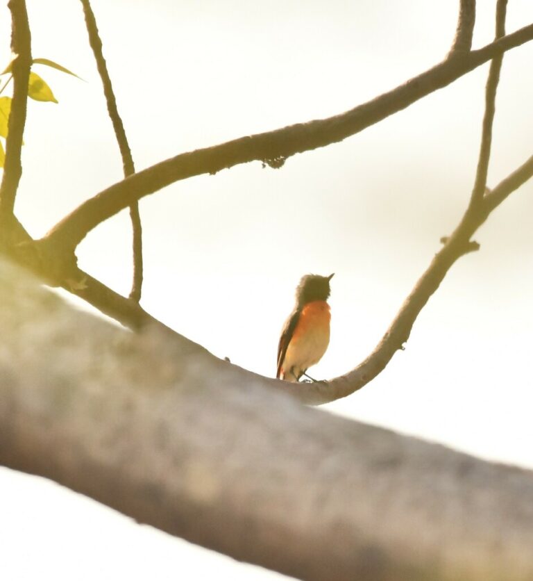
Pericrocotus cinnamomeus
♥
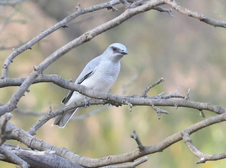
Coracina macei
♥
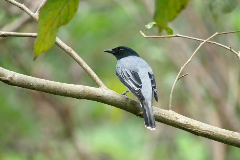
Lalage melanoptera
♥
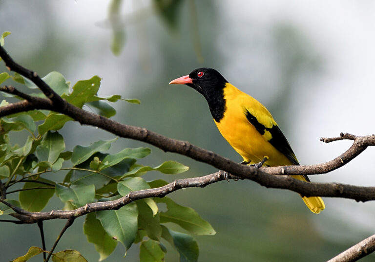
Oriolus xanthornus
♥
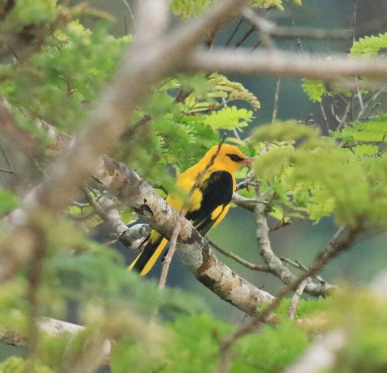
Oriolus kundoo
♥
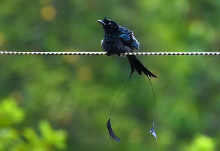
Dicrurus paradiseus
♥
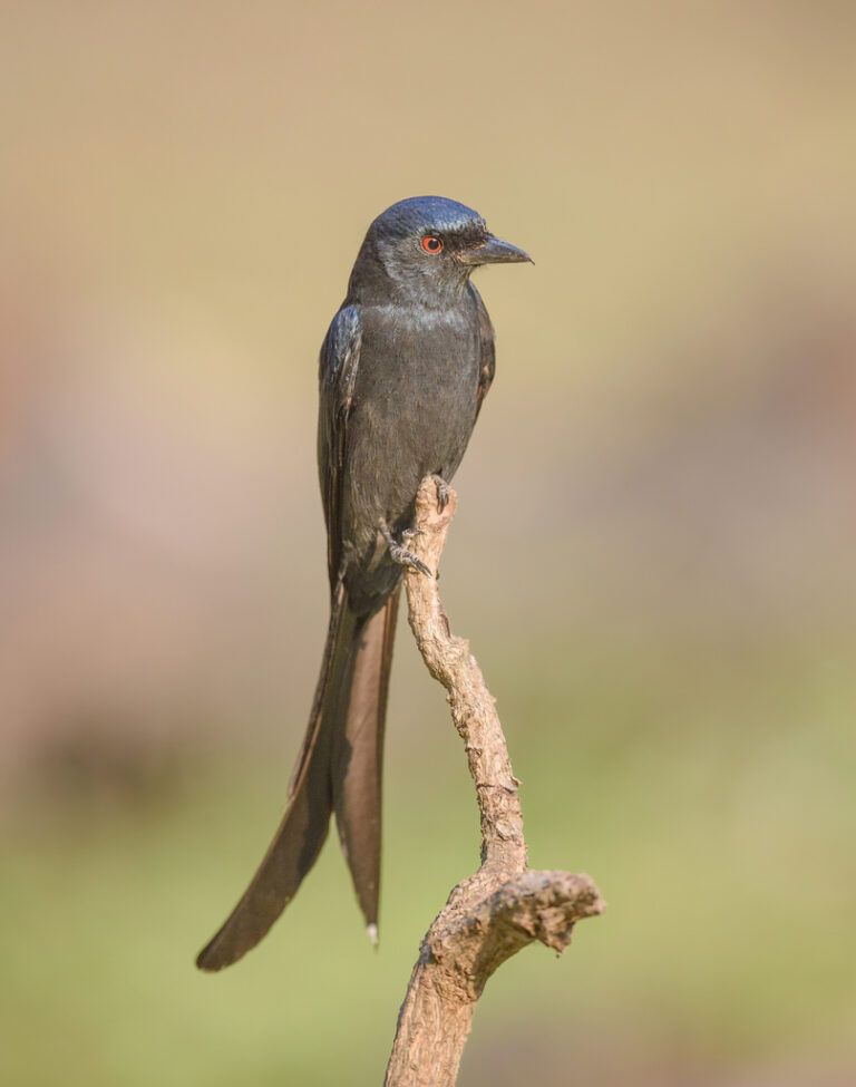
Dicrurus leucophaeus
♥
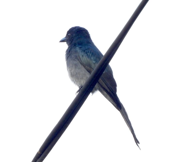
Dicrurus caerulescens
♥
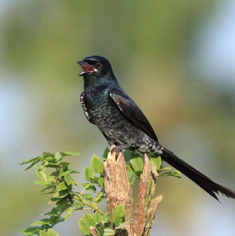
Dicrurus macrocercus
♥
Rhipidura albogularis
♥
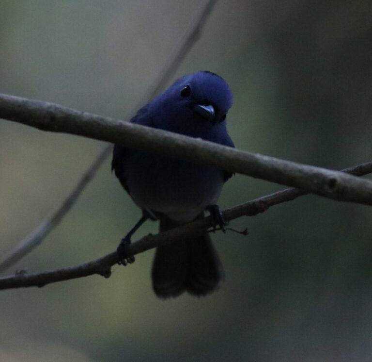
Hypothymis azurea
♥
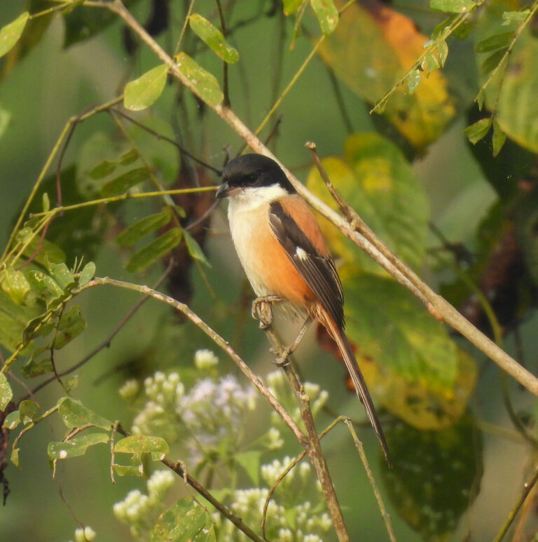
Lanius schach
♥
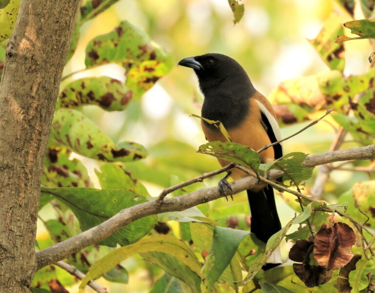
Dendrocitta vagabunda
♥
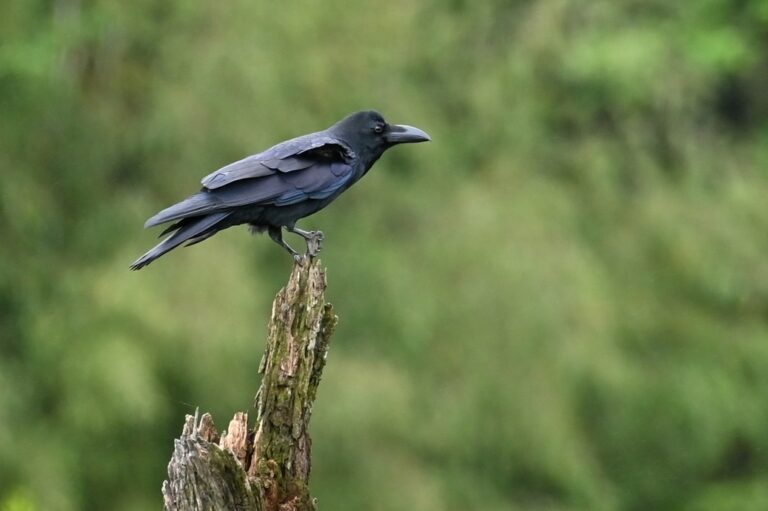
Corvus macrorhynchos
♥
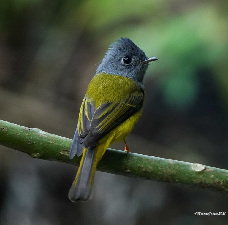
Culicicapa ceylonensis
♥
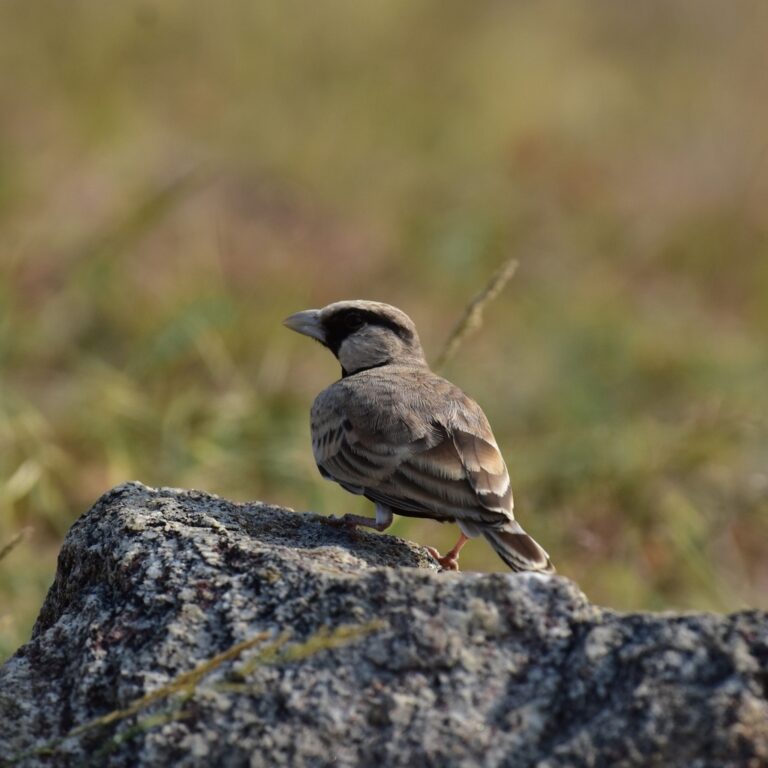
Eremopterix griseus
♥
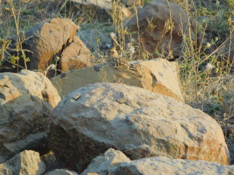
Galerida deva
♥
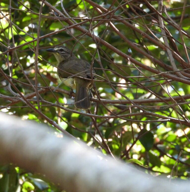
Pycnonotus luteolus
♥
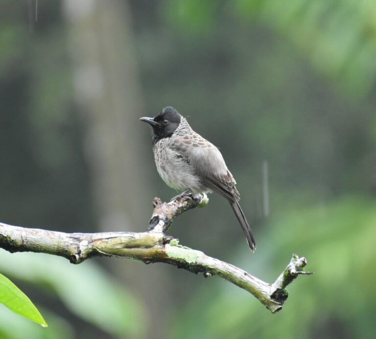
Pycnonotus cafer
♥
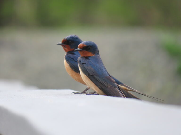
Hirundo rustica
♥
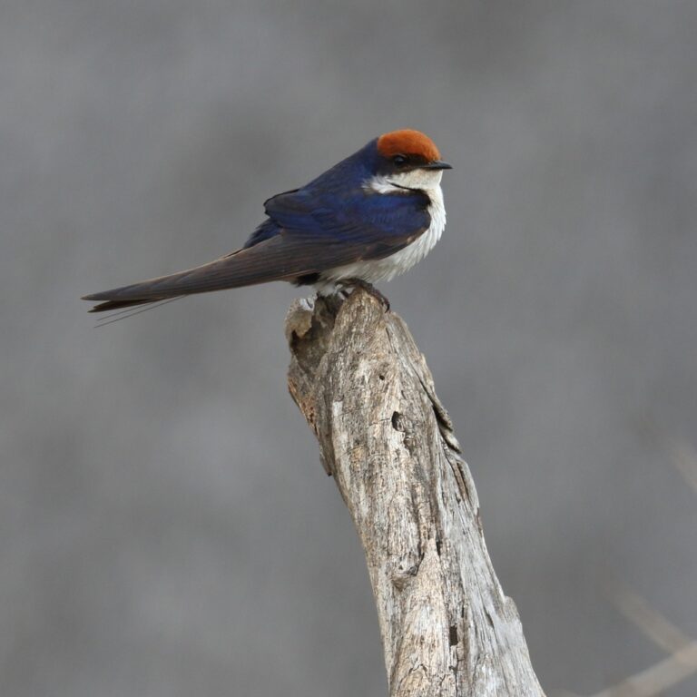
Hirundo smithii
♥
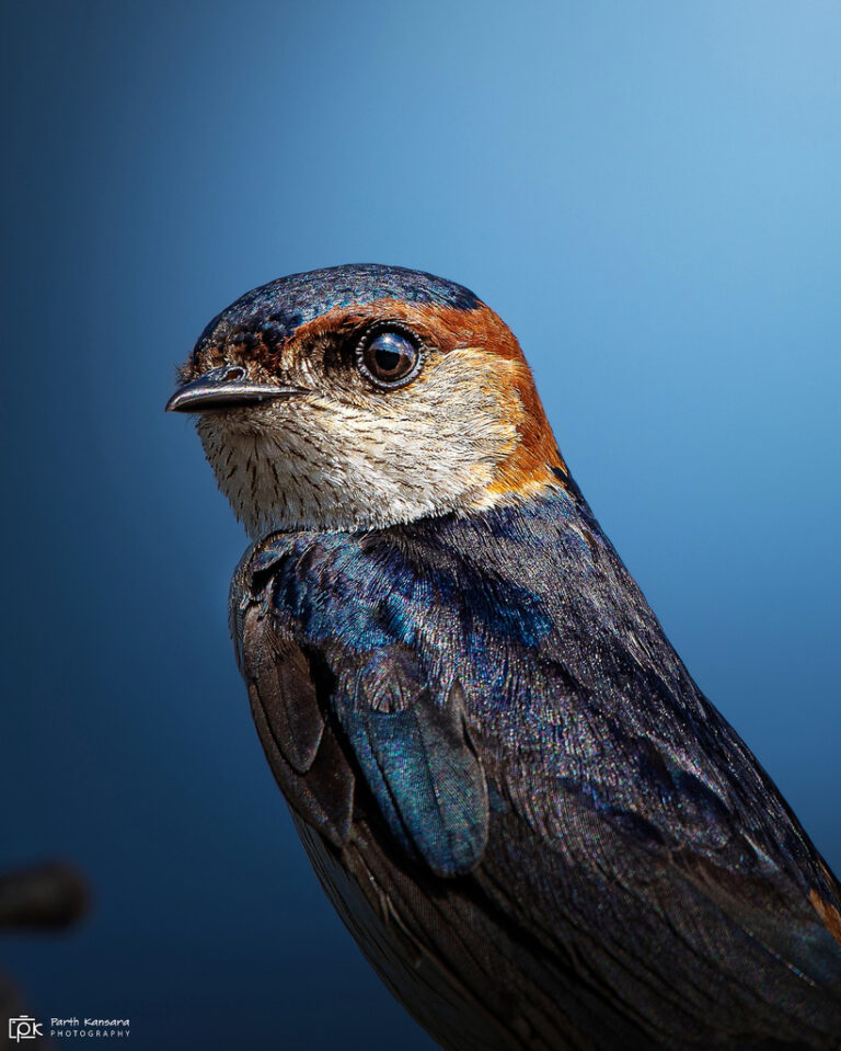
Cecropis daurica
♥
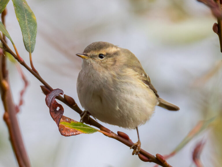
Phylloscopus humei
♥
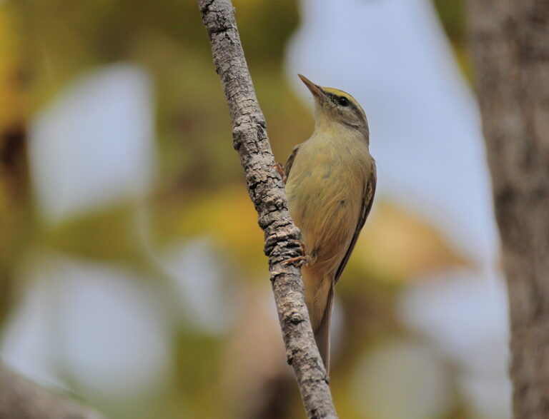
Phylloscopus griseolus
♥
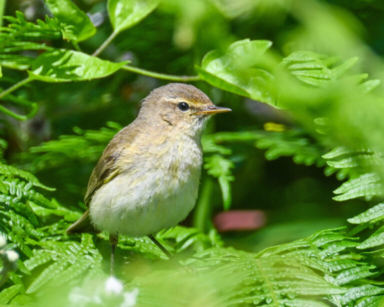
Phylloscopus collybita
♥
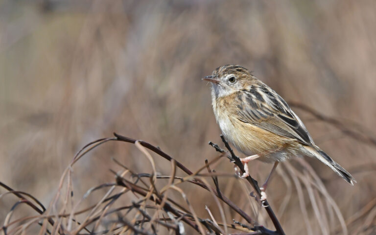
Cisticola juncidis
♥
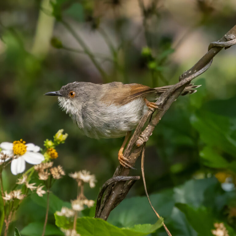
Prinia hodgsonii
♥
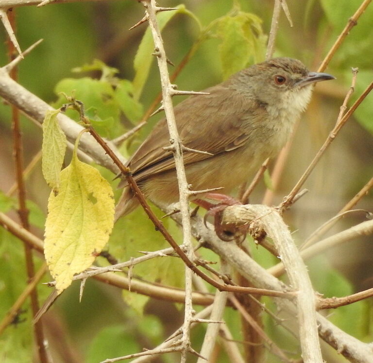
Prinia sylvatica
♥
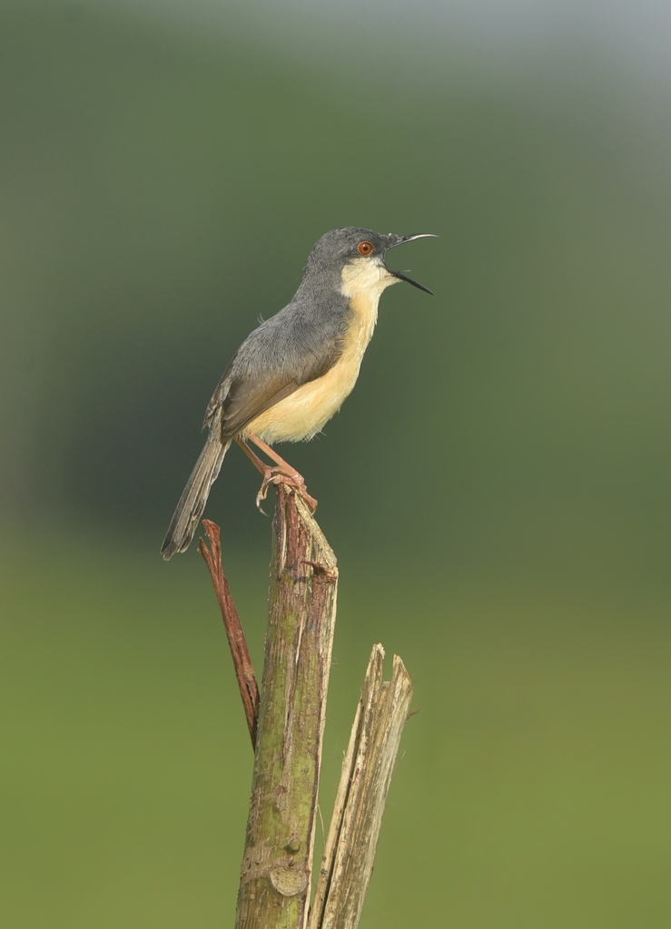
Prinia socialis
♥
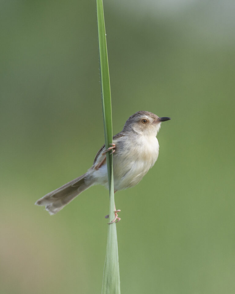
Prinia inornata
♥
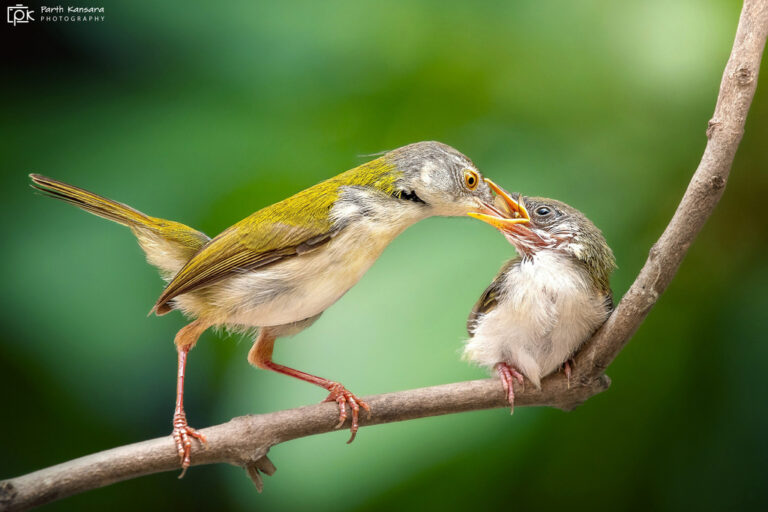
Orthotomus sutorius
♥
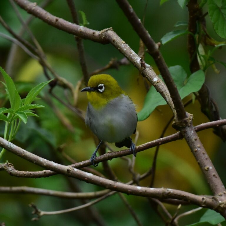
Zosterops palpebrosus
♥
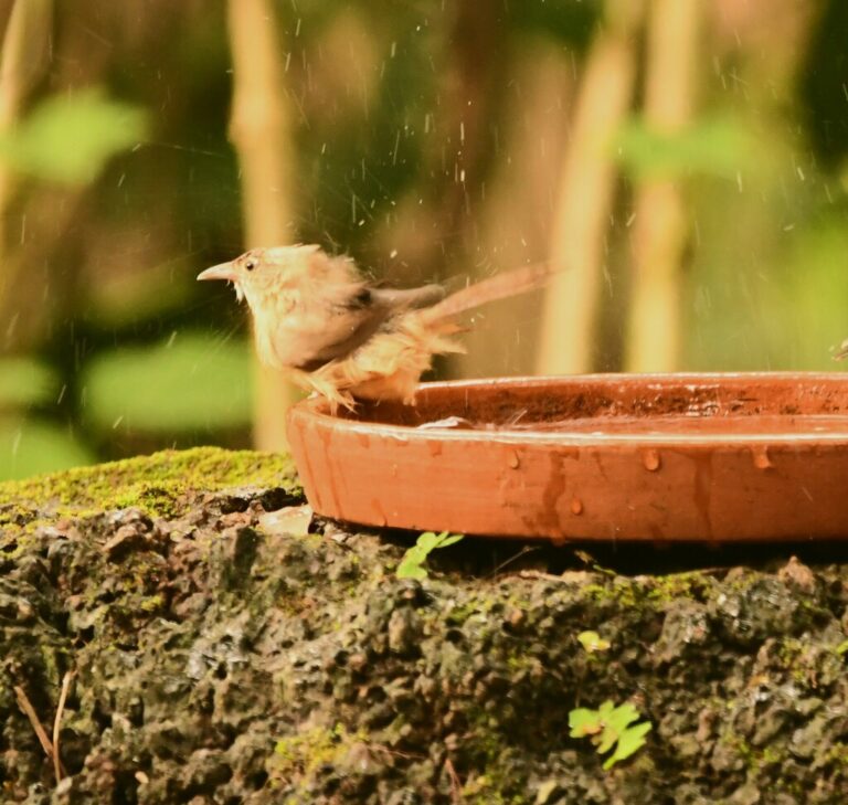
Dumetia hyperythra
♥
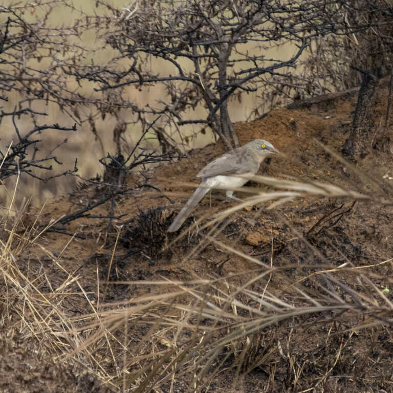
Argya malcolmi
♥
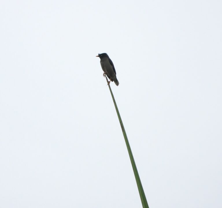
Acridotheres fuscus
♥
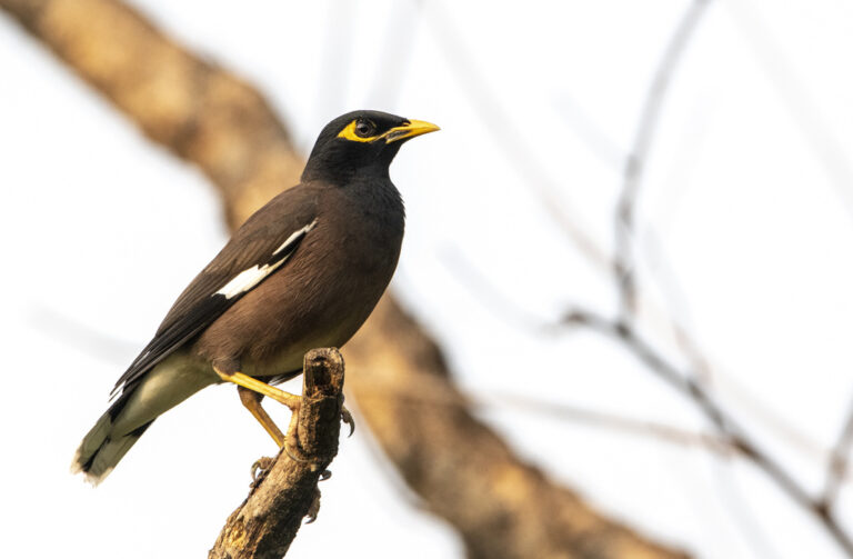
Acridotheres tristis
♥
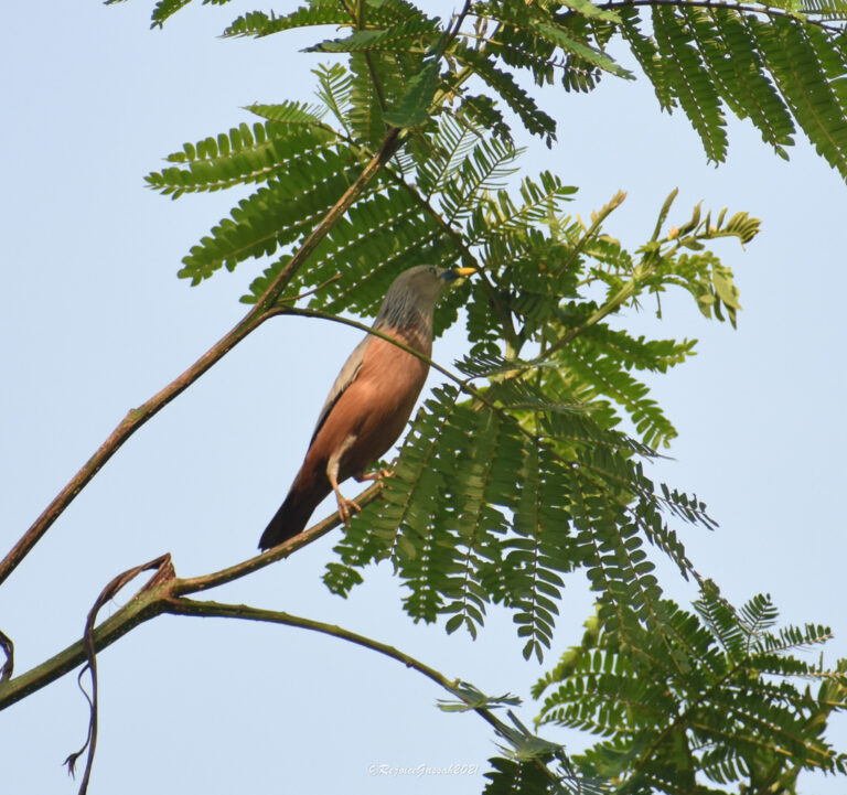
Sturnia malabarica
♥
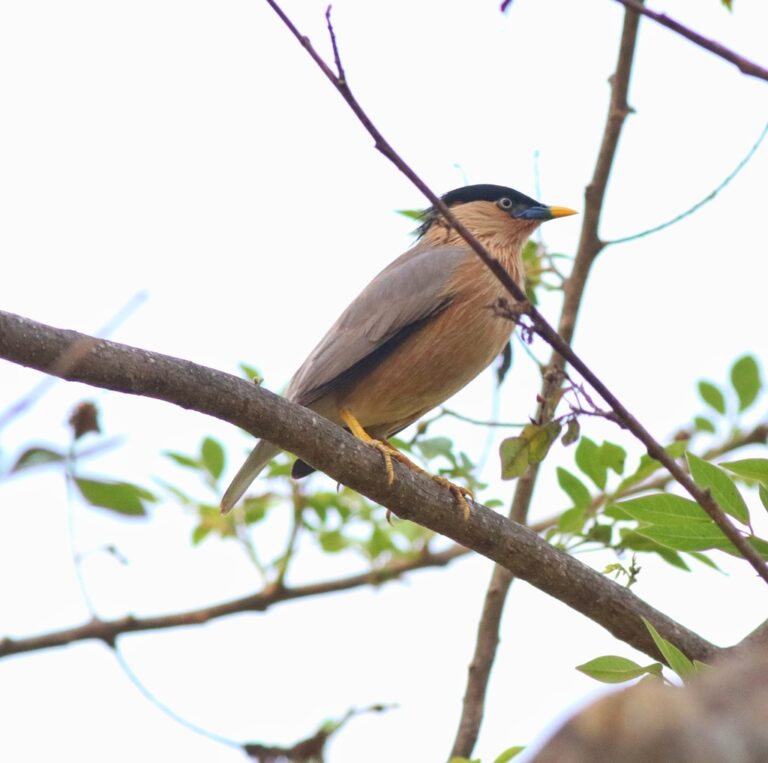
Sturnia pagodarum
♥
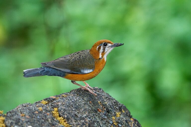
Geokichla citrina
♥
Turdus simillimus
♥
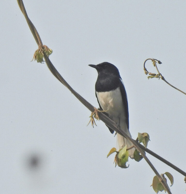
Copsychus saularis
♥
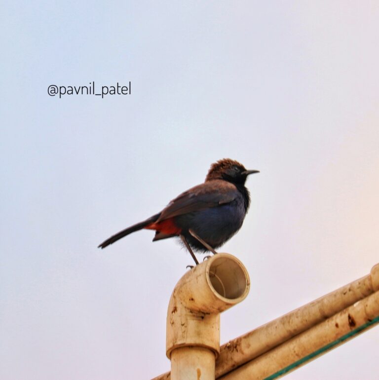
Copsychus fulicatus
♥
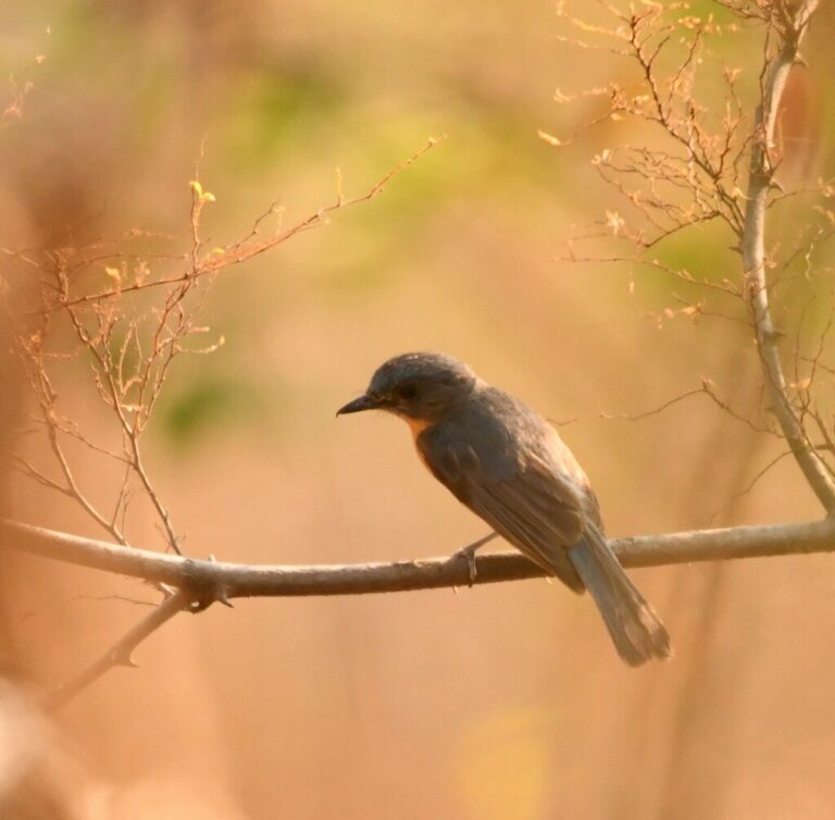
Cyornis tickelliae
♥
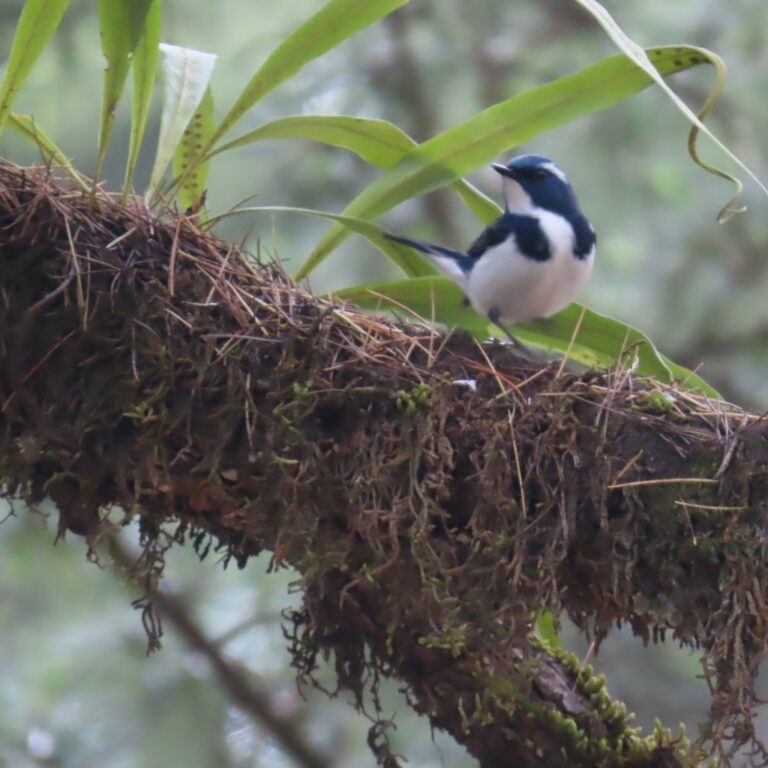
Ficedula superciliaris
♥
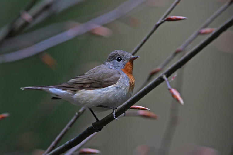
Ficedula parva
♥
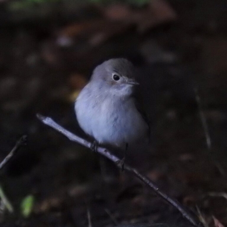
Ficedula albicilla
♥
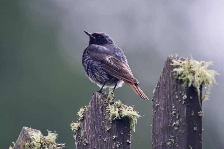
Phoenicurus ochruros
♥
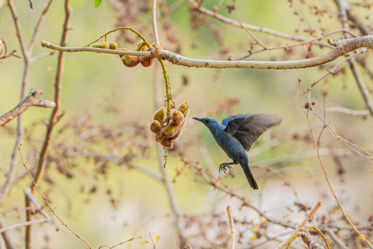
Monticola solitarius
♥
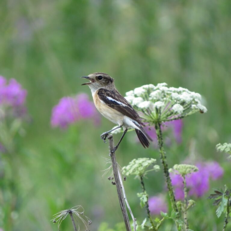
Saxicola maurus
♥
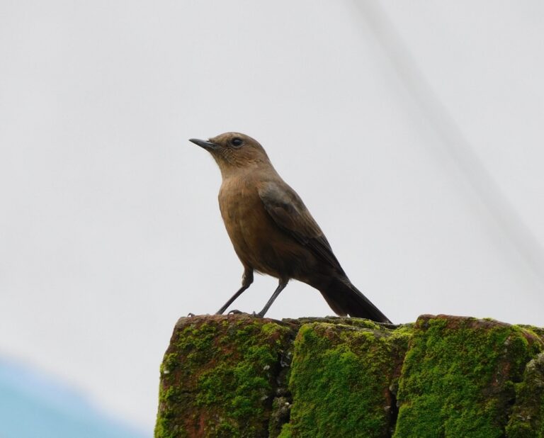
Oenanthe fusca
♥
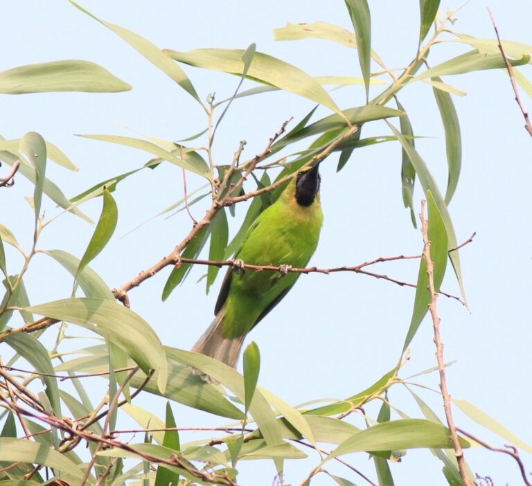
Chloropsis jerdoni
♥
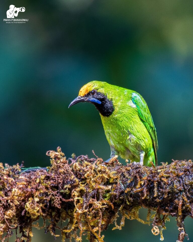
Chloropsis aurifrons
♥
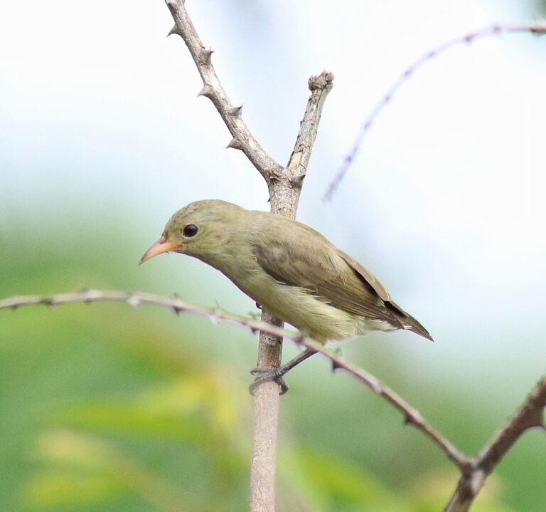
Dicaeum erythrorhynchos
♥
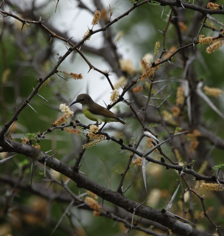
Leptocoma zeylonica
♥
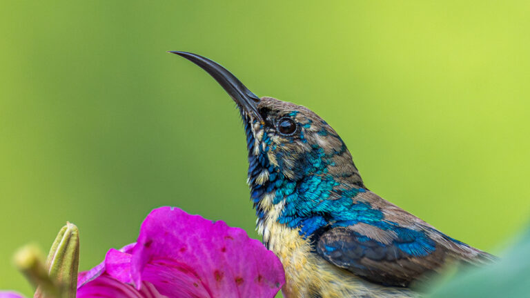
Cinnyris asiaticus
♥
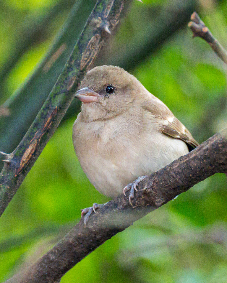
Gymnoris xanthocollis
♥
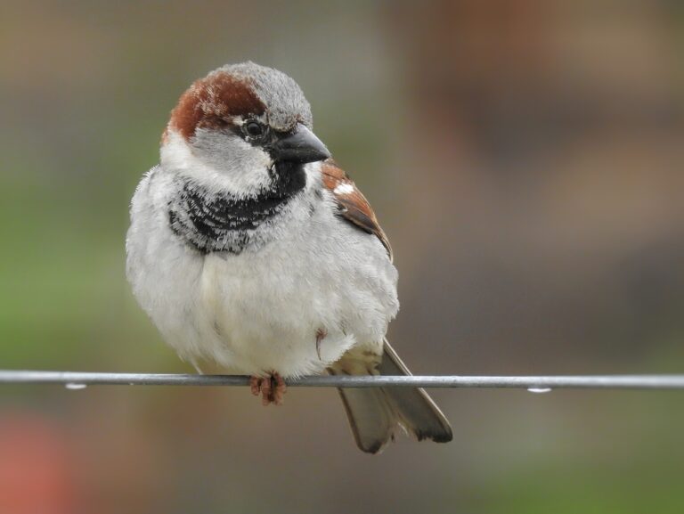
Passer domesticus
♥
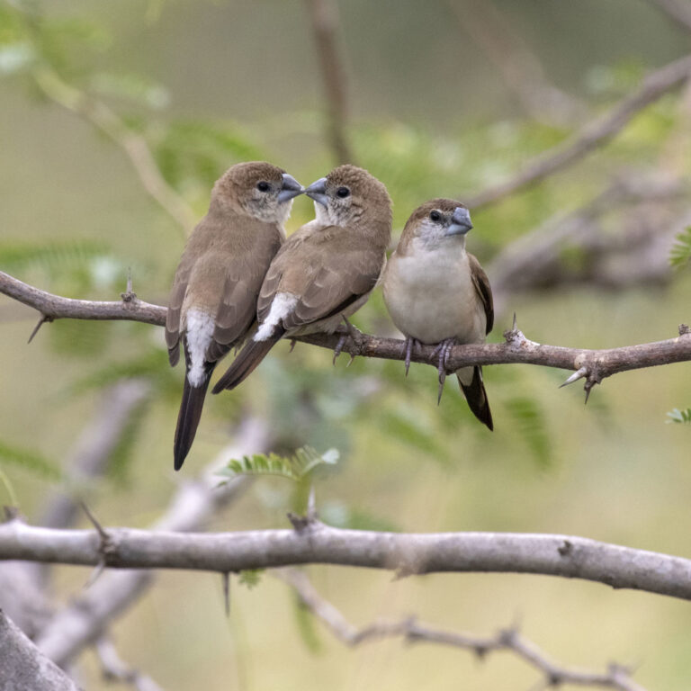
Euodice malabarica
♥
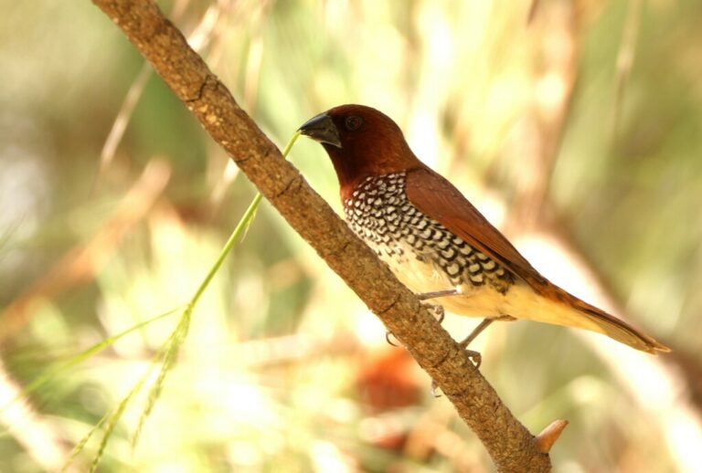
Lonchura punctulata
♥
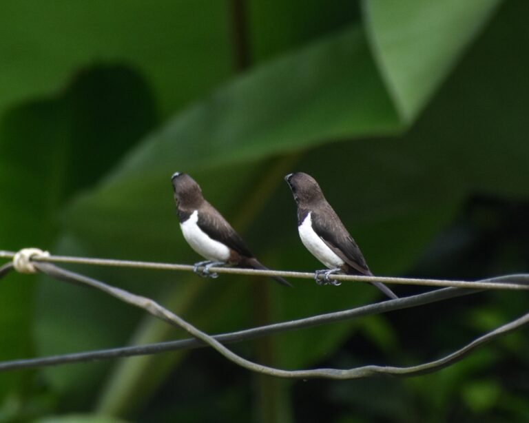
Lonchura striata
♥
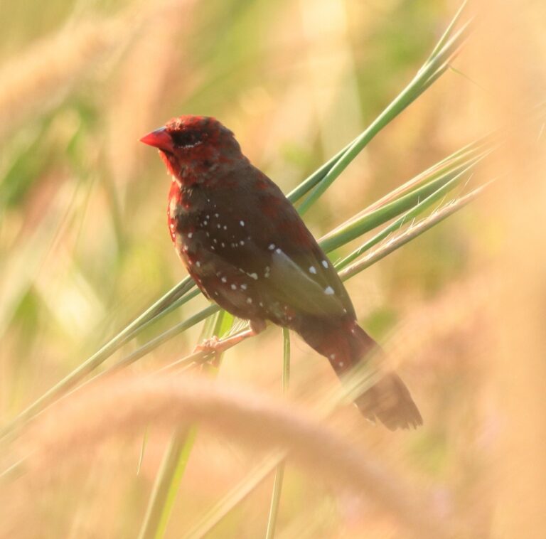
Amandava amandava
♥
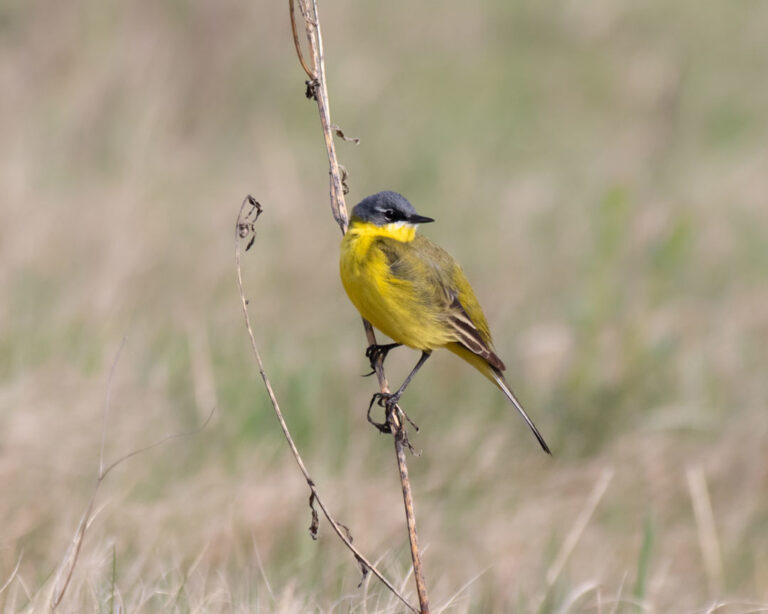
Motacilla flava
♥
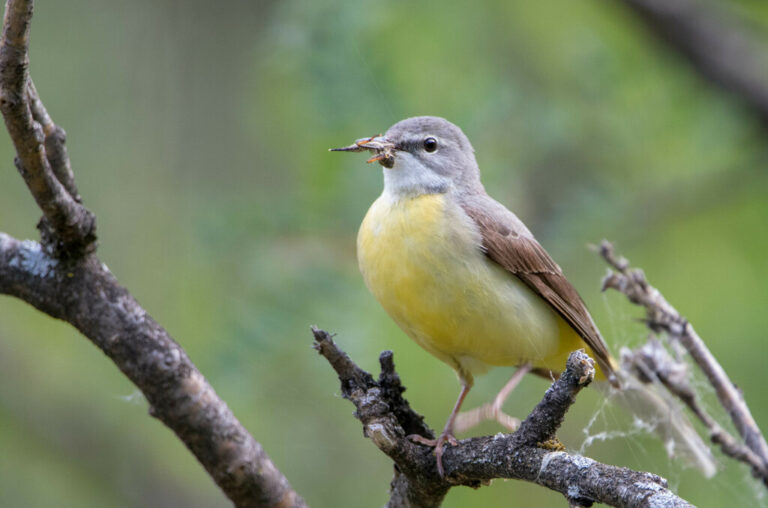
Motacilla cinerea
♥
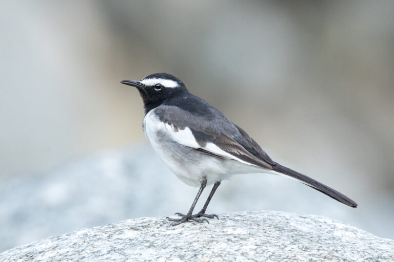
Motacilla maderaspatensis
♥
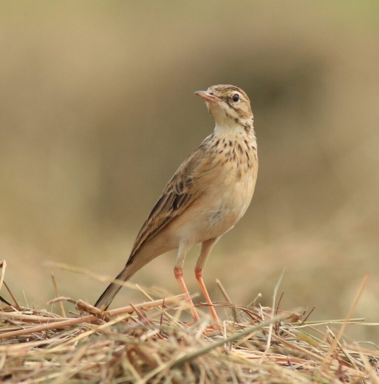
Anthus rufulus
♥
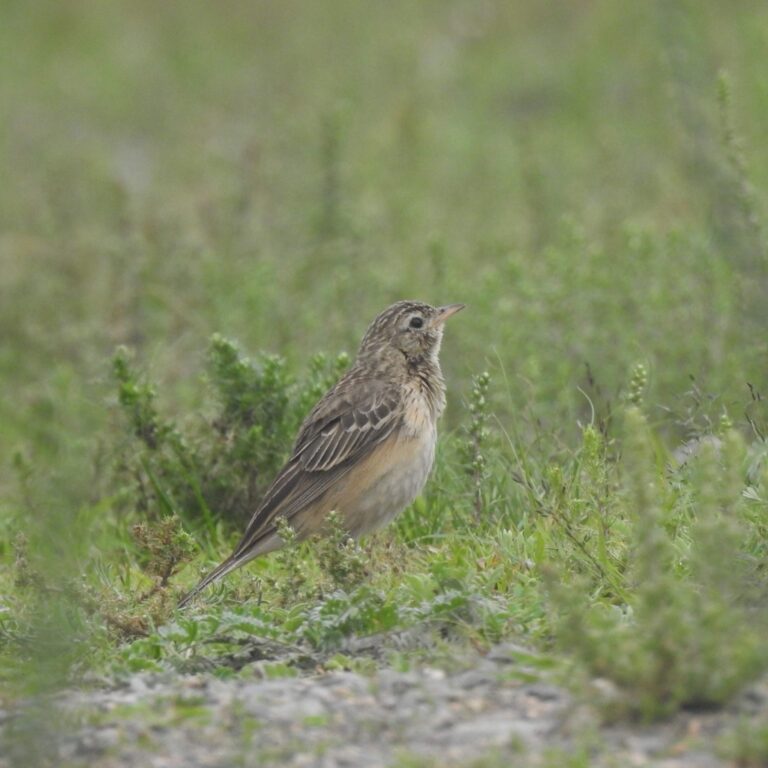
Anthus godlewskii
♥
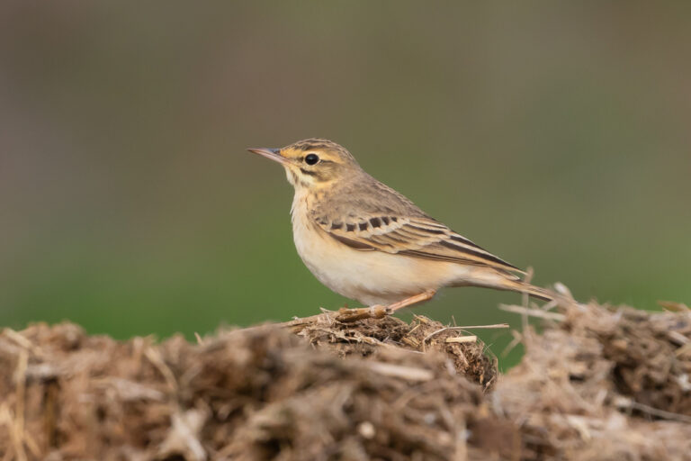
Anthus campestris
♥
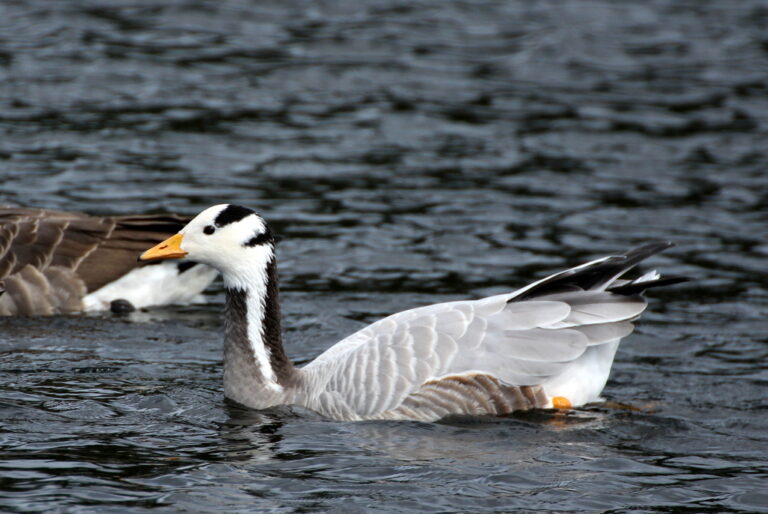
Anser indicus
♥
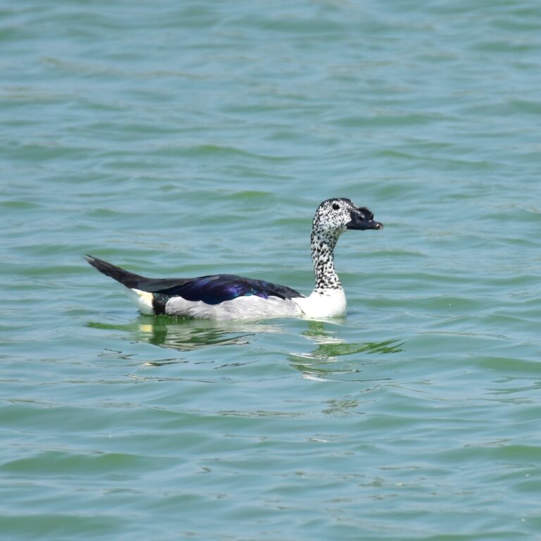
Sarkidiornis melanotos
♥
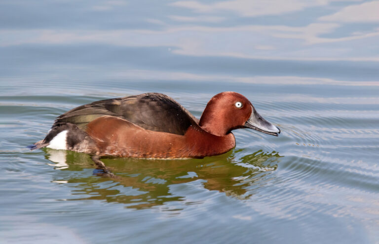
Aythya nyroca
♥
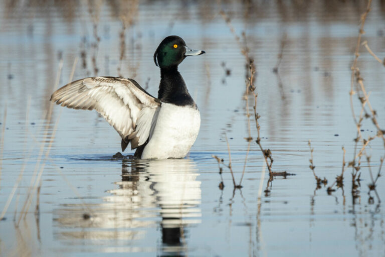
Aythya fuligula
♥
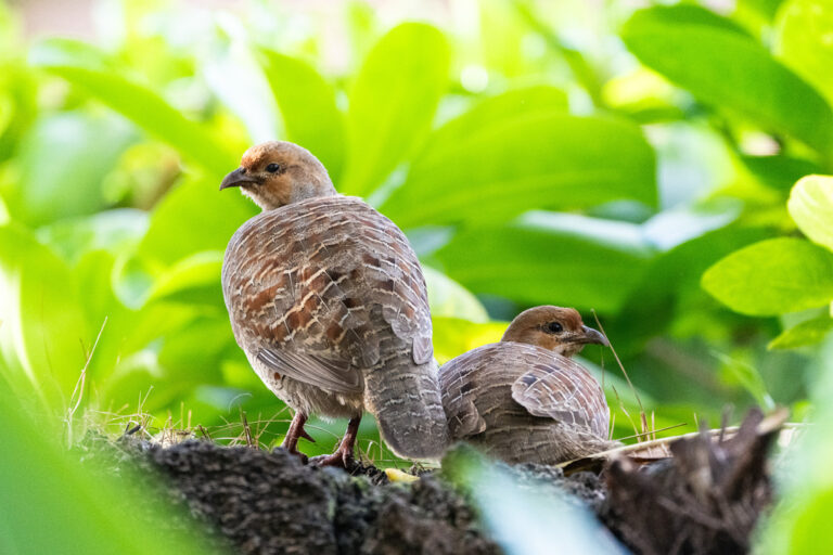
Ortygornis pondicerianus
♥
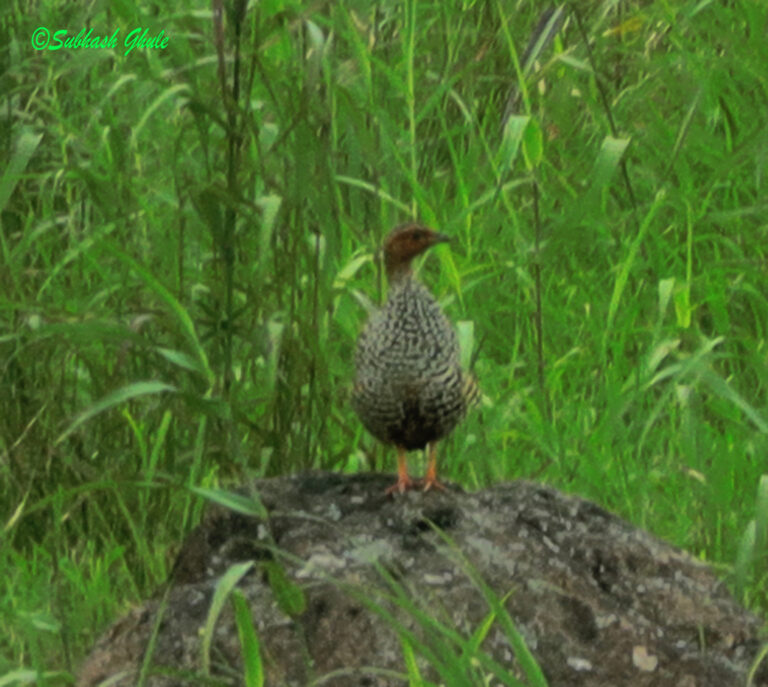
Francolinus pictus
♥
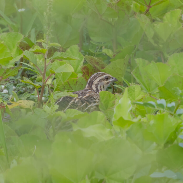
Coturnix coromandelica
♥
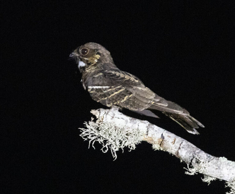
Caprimulgus atripennis
♥
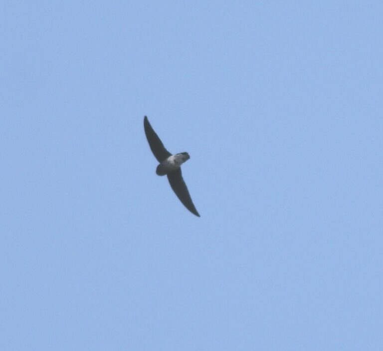
Zoonavena sylvatica
♥
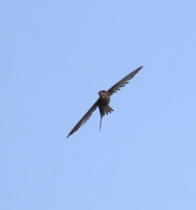
Cypsiurus balasiensis
♥
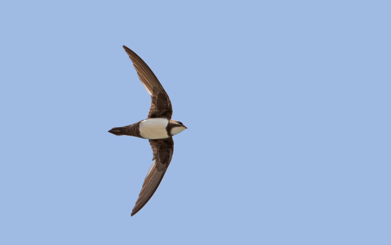
Tachymarptis melba
♥
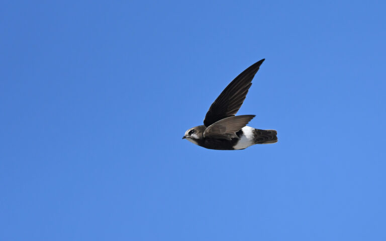
Apus affinis
♥
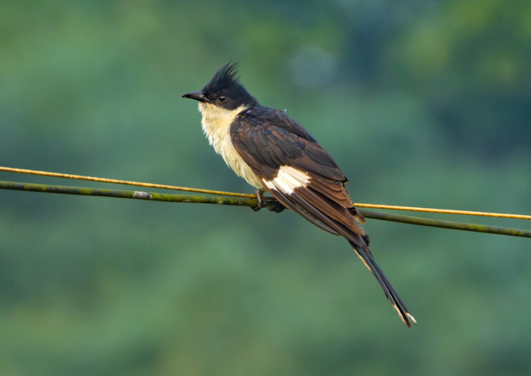
Clamator jacobinus
♥
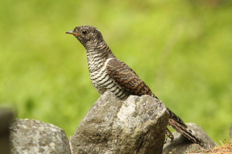
Cuculus canorus
♥
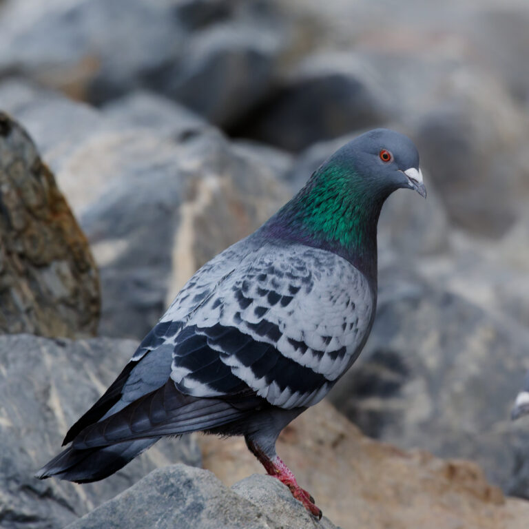
Columba livia
♥
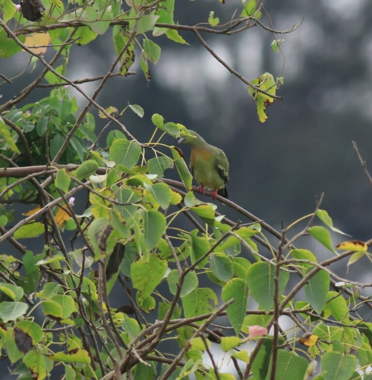
Treron bicinctus
♥
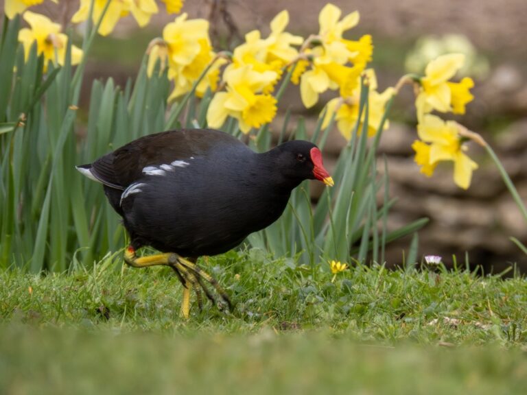
Gallinula chloropus
♥
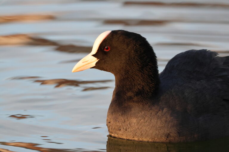
Fulica atra
♥
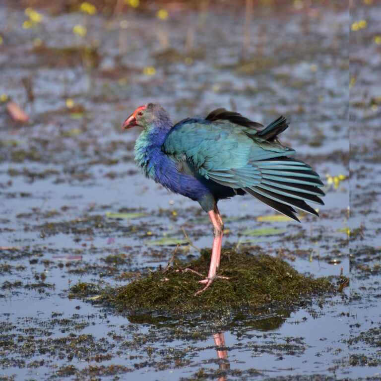
Porphyrio poliocephalus
♥
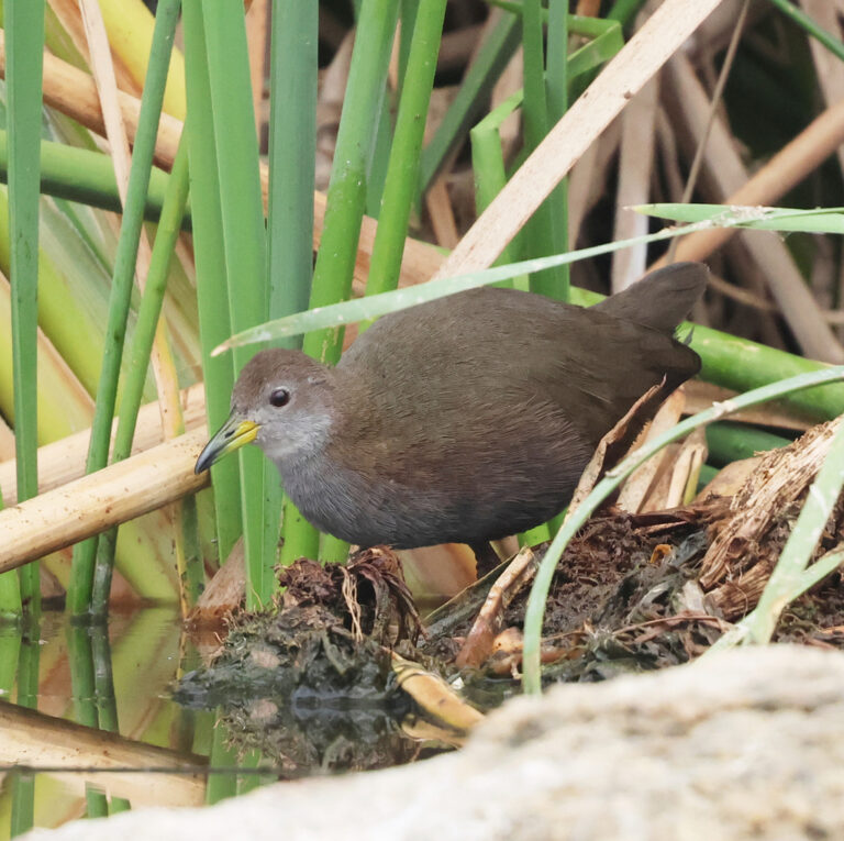
Zapornia akool
♥
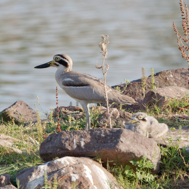
Esacus recurvirostris
♥
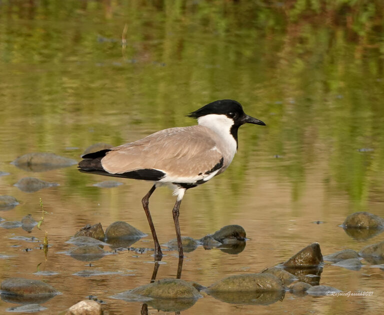
Vanellus duvaucelii
♥
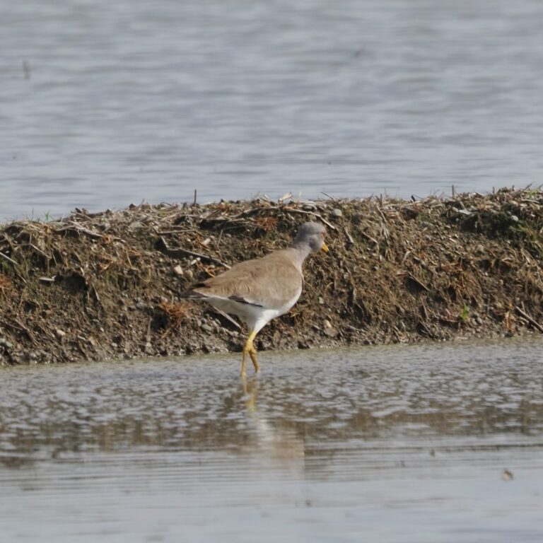
Vanellus cinereus
♥
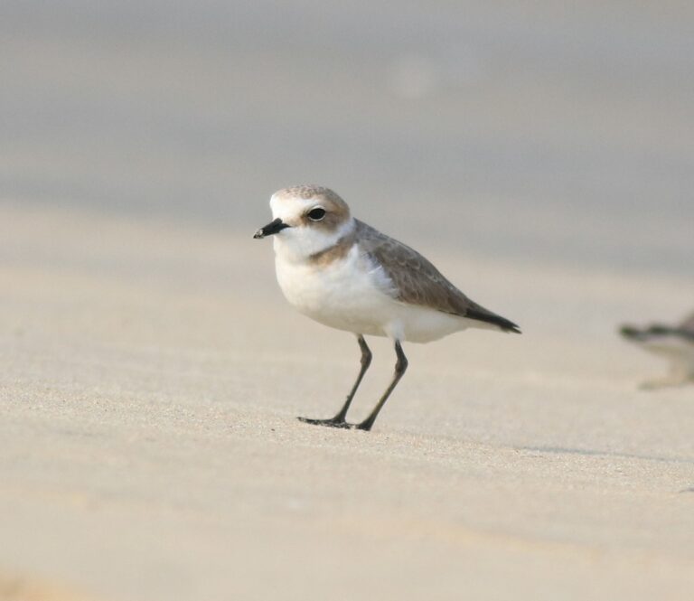
Anarhynchus alexandrinus
♥
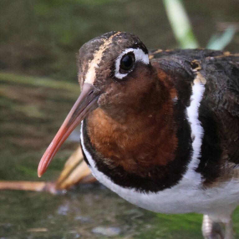
Rostratula benghalensis
♥
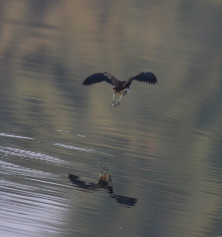
Metopidius indicus
♥
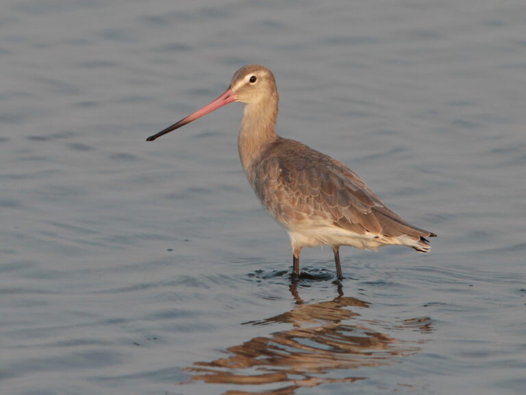
Limosa limosa
♥
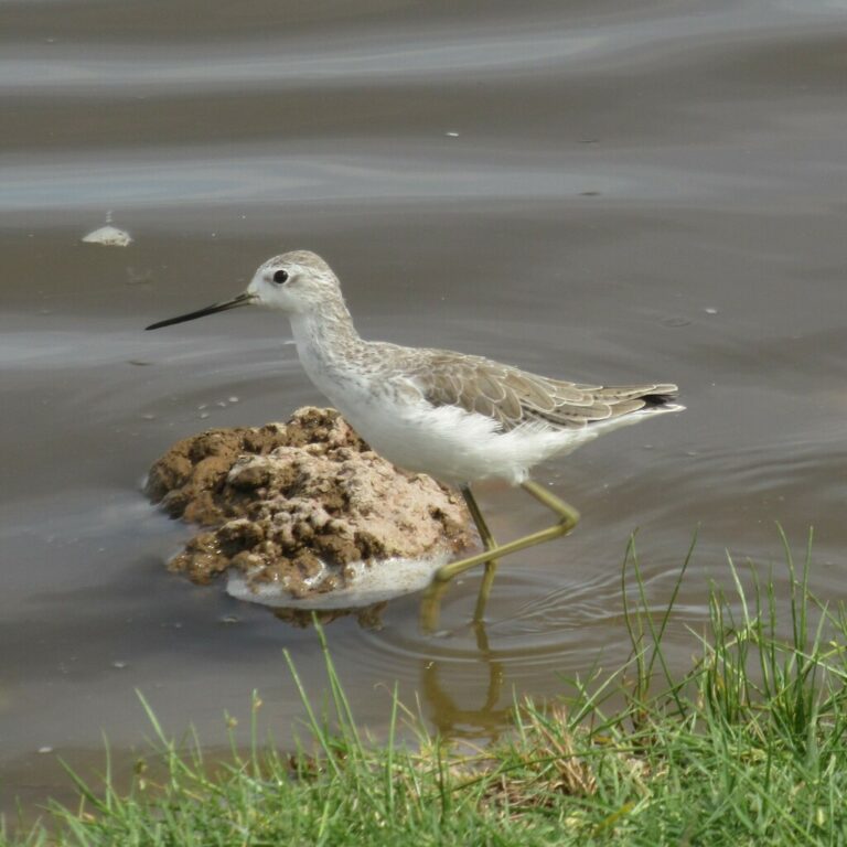
Tringa stagnatilis
♥
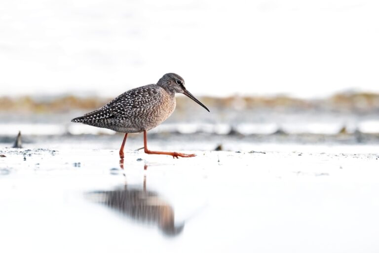
Tringa erythropus
♥
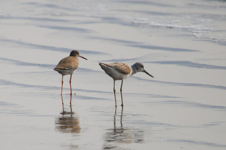
Tringa nebularia
♥
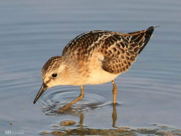
Calidris minuta
♥
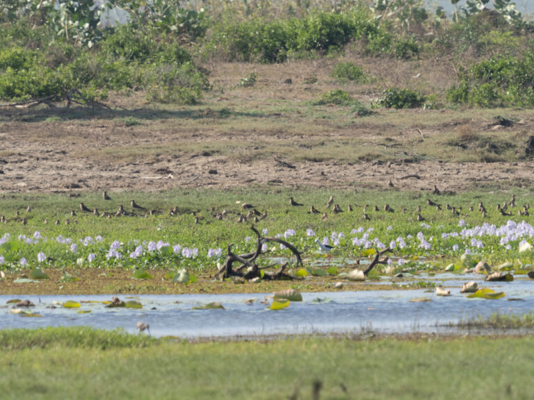
Glareola maldivarum
♥
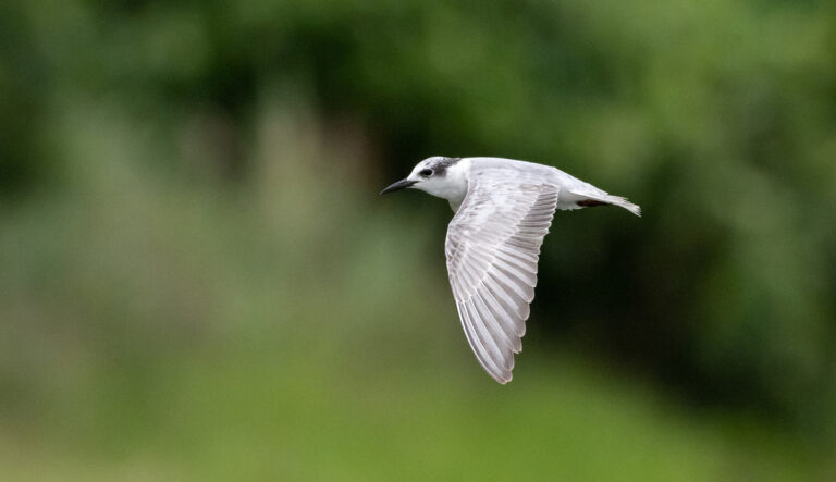
Chlidonias hybrida
♥
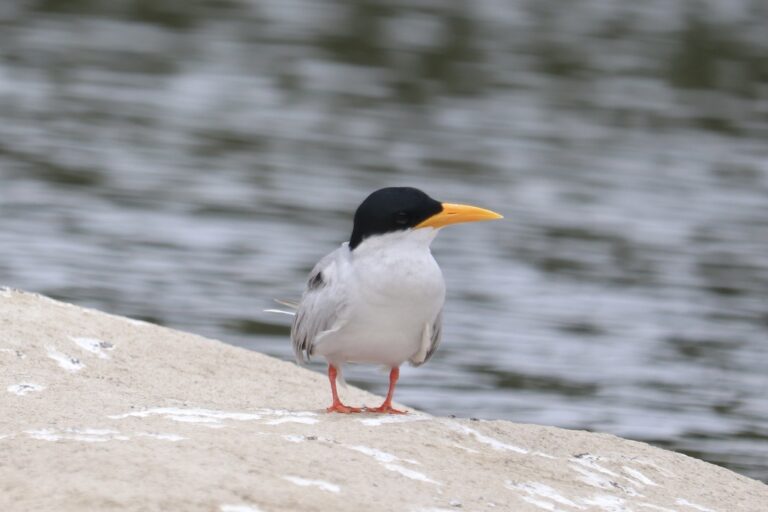
Sterna aurantia
♥
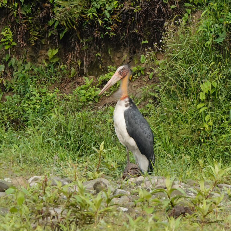
Leptoptilos javanicus
♥
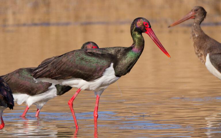
Ciconia nigra
♥
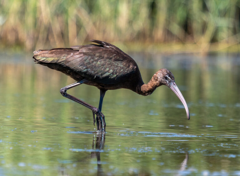
Plegadis falcinellus
♥
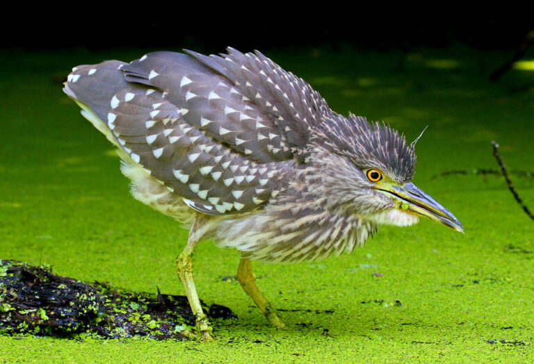
Nycticorax nycticorax
♥
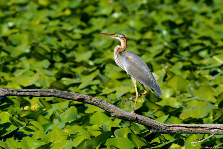
Ardea purpurea
♥
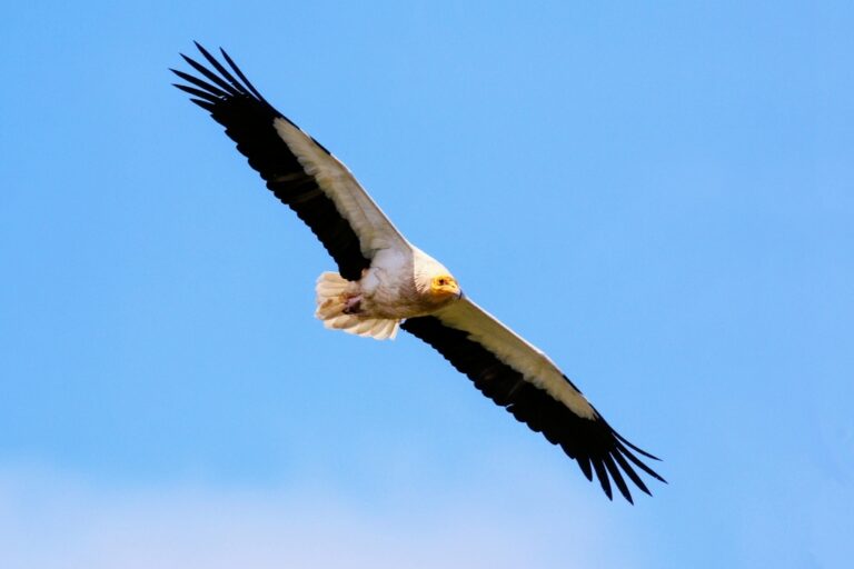
Neophron percnopterus
♥
Sarcogyps calvus
♥
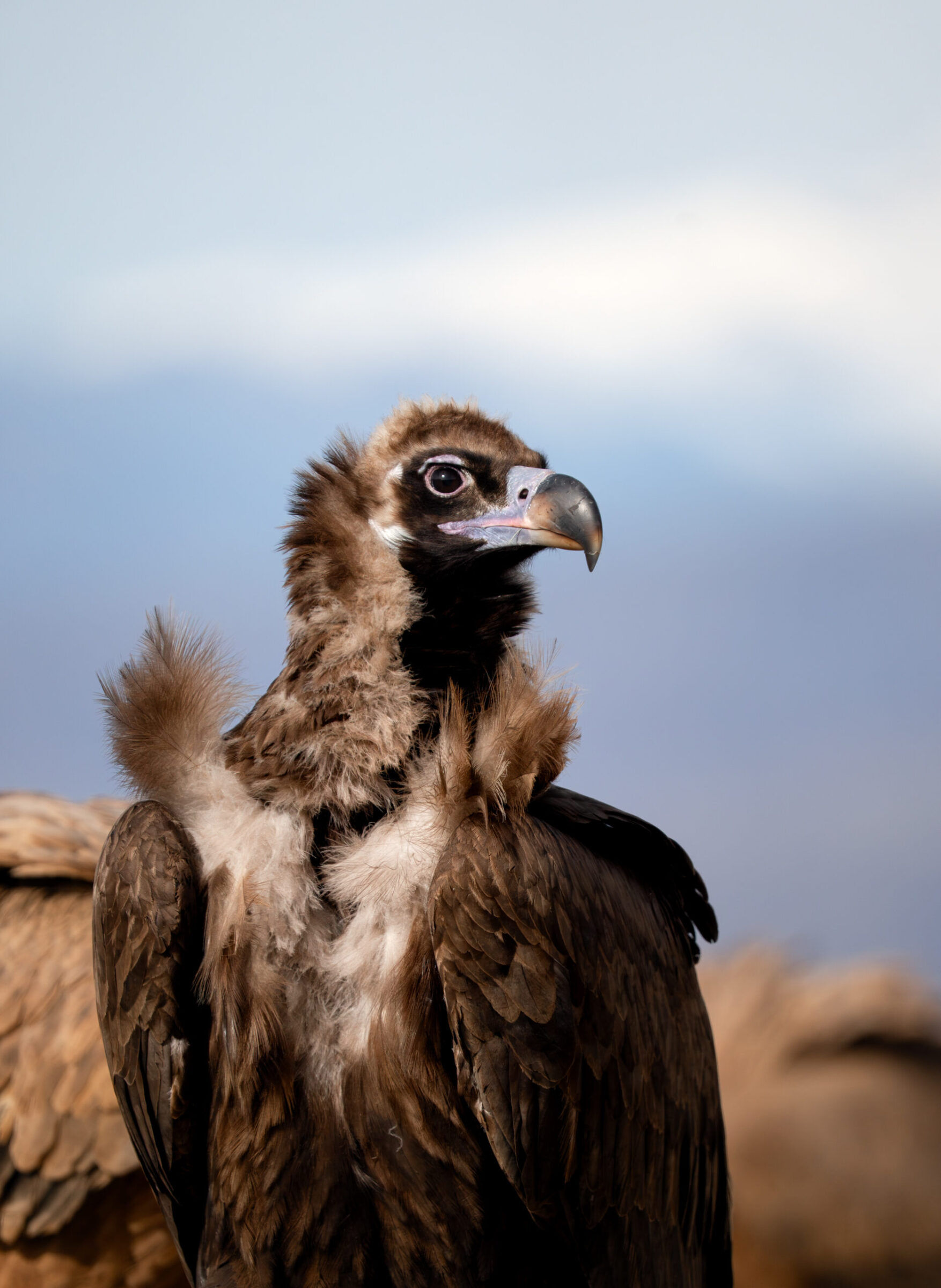
Aegypius monachus
♥
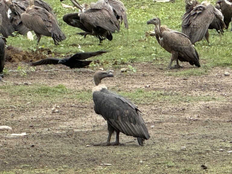
Gyps bengalensis
♥
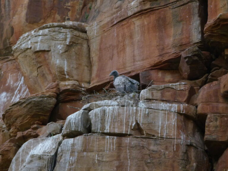
Gyps indicus
♥
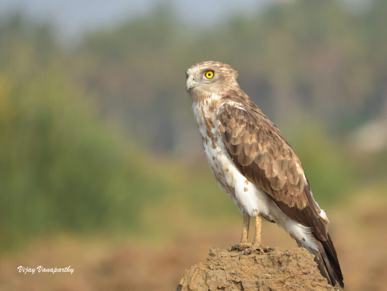
Circaetus gallicus
♥
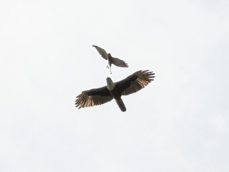
Lophotriorchis kienerii
♥
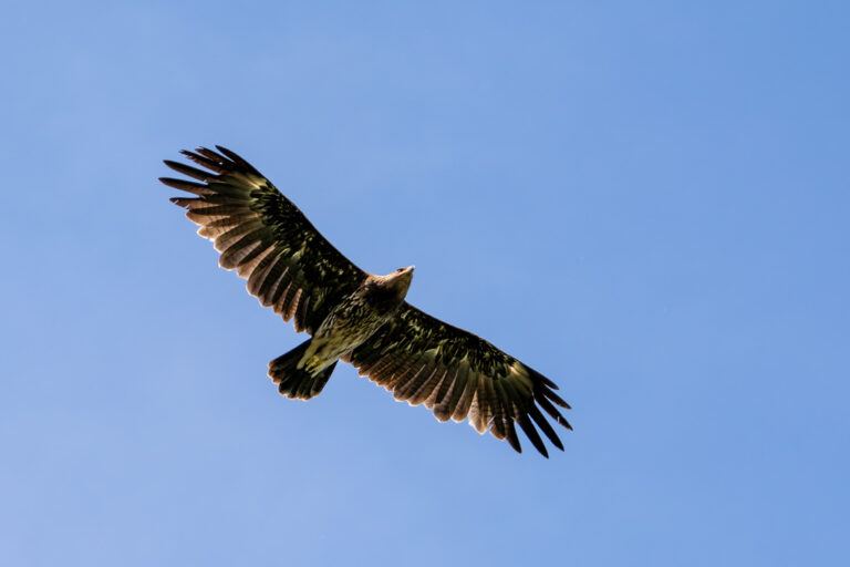
Clanga clanga
♥
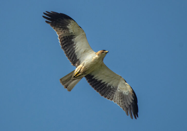
Hieraaetus pennatus
♥
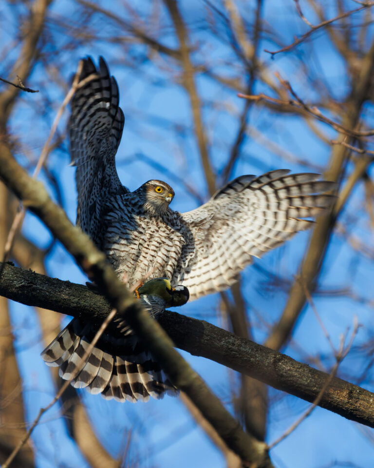
Accipiter nisus
♥
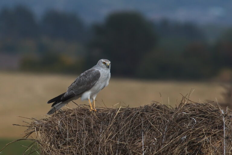
Circus macrourus
♥
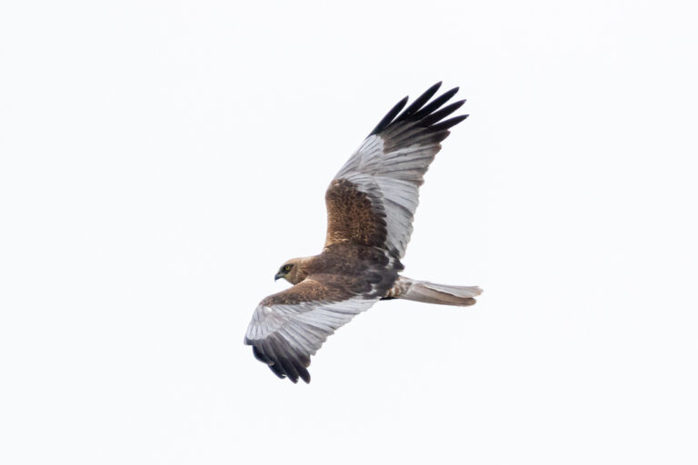
Circus aeruginosus
♥
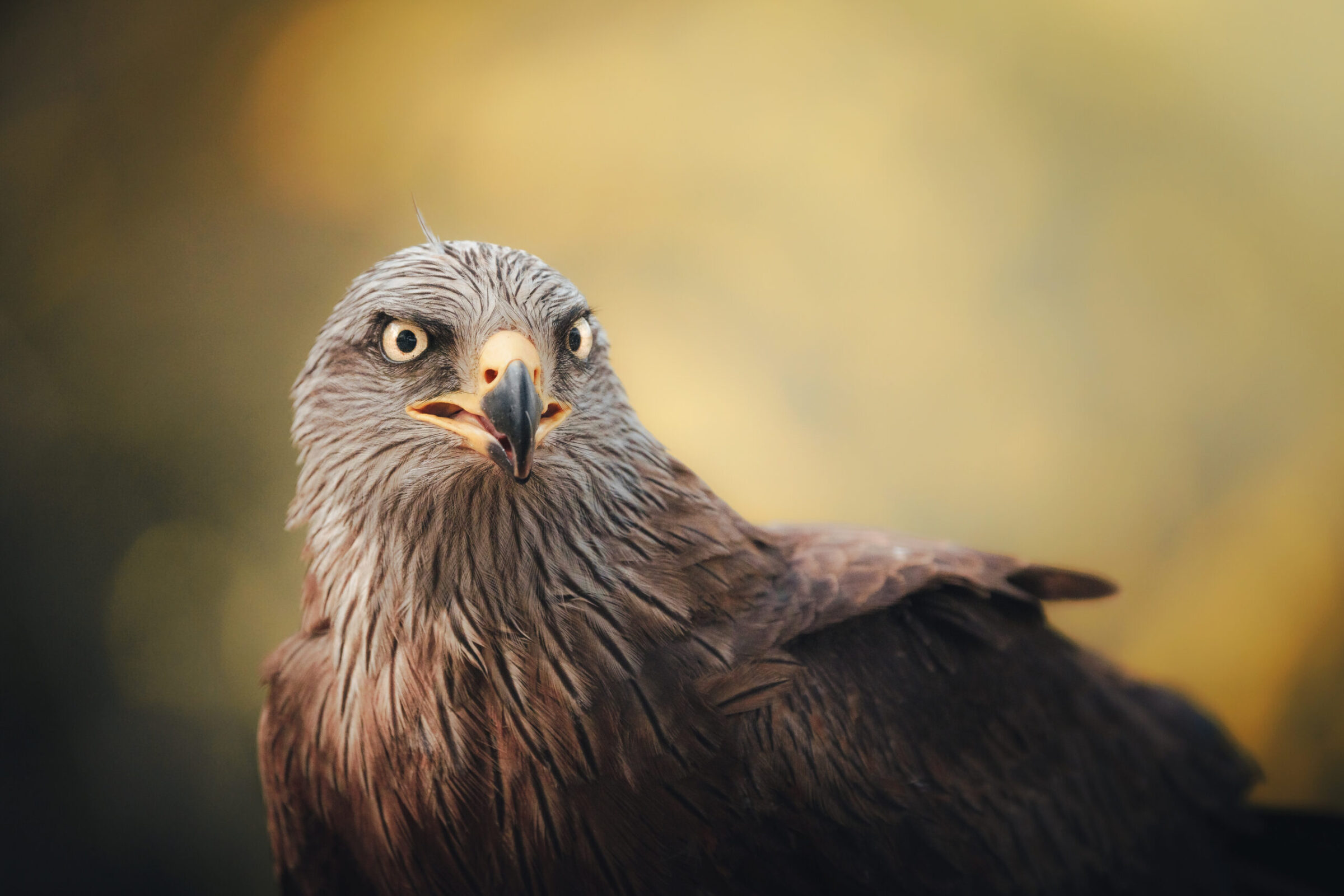
Milvus migrans
♥
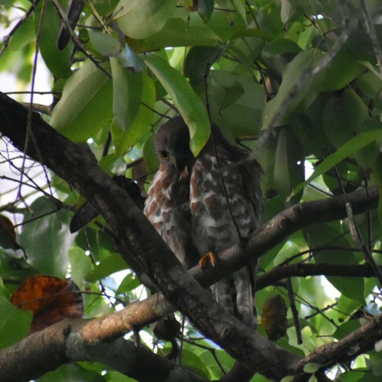
Ninox scutulata
♥
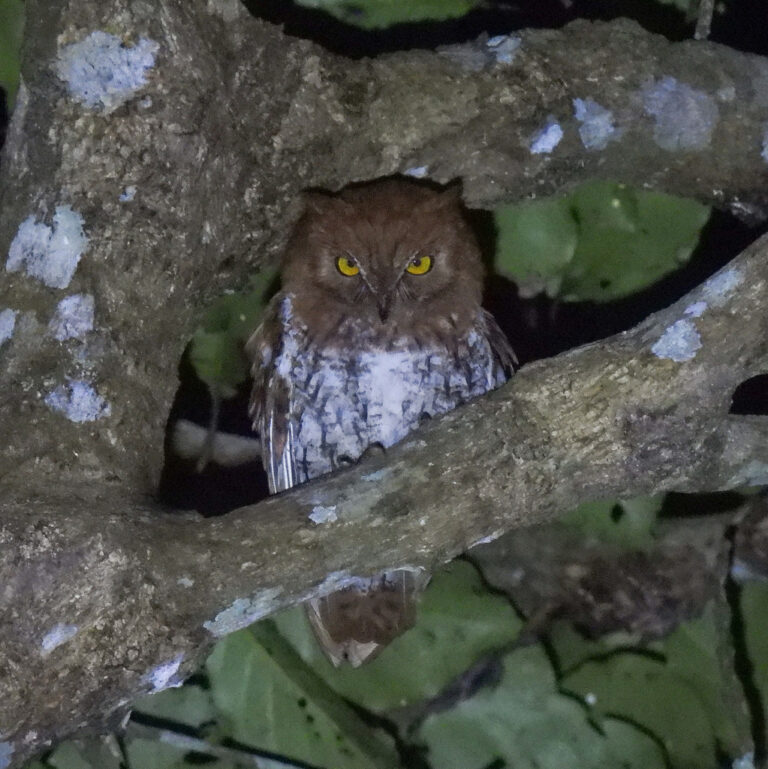
Otus sunia
♥
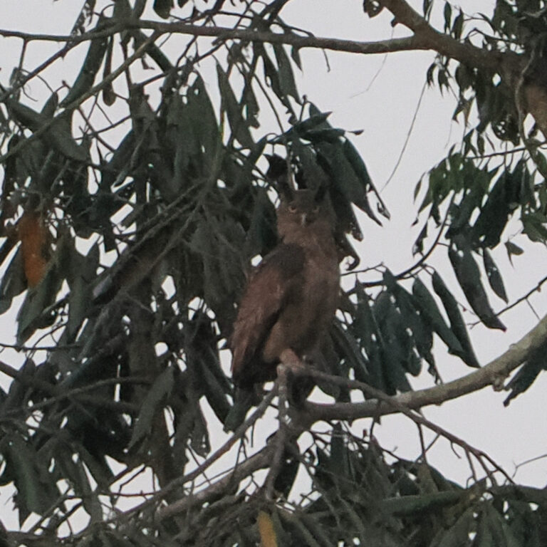
Ketupa coromanda
♥
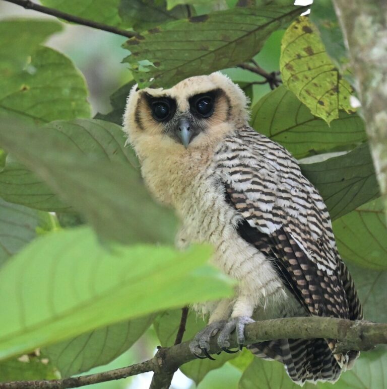
Strix leptogrammica
♥
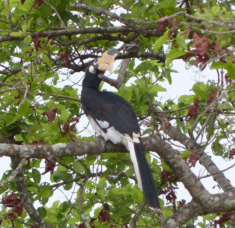
Anthracoceros coronatus
♥
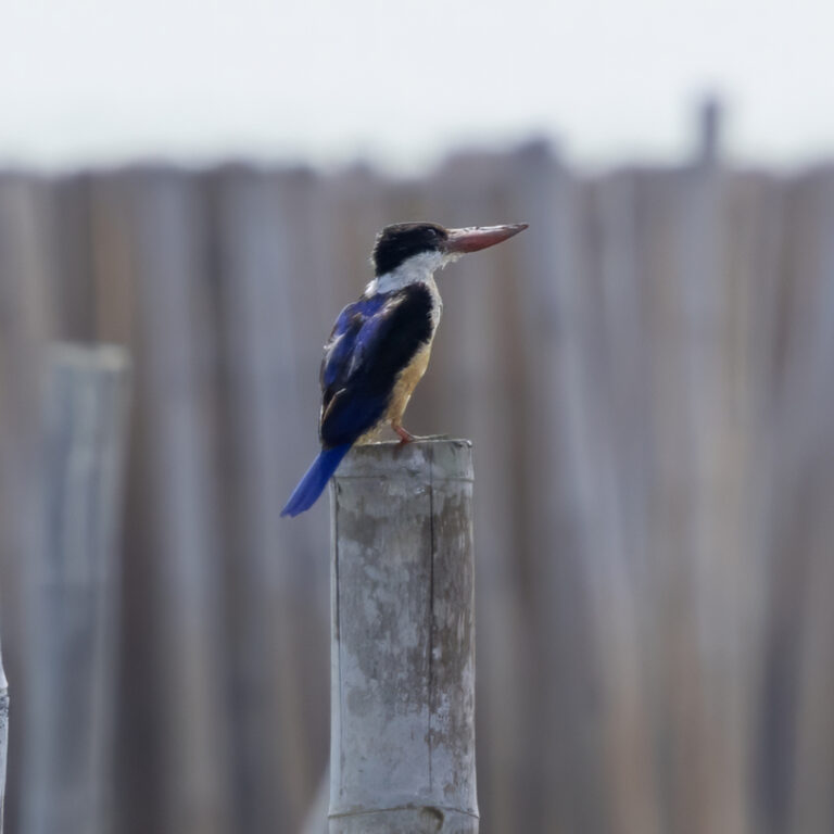
Halcyon pileata
♥
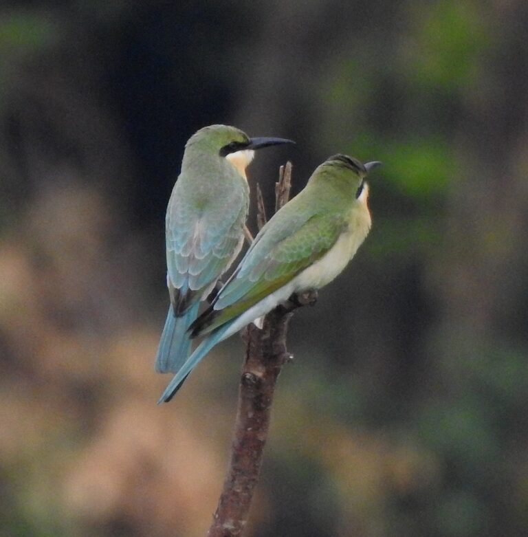
Merops philippinus
♥
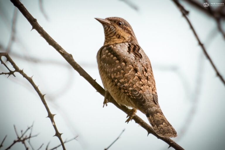
Jynx torquilla
♥
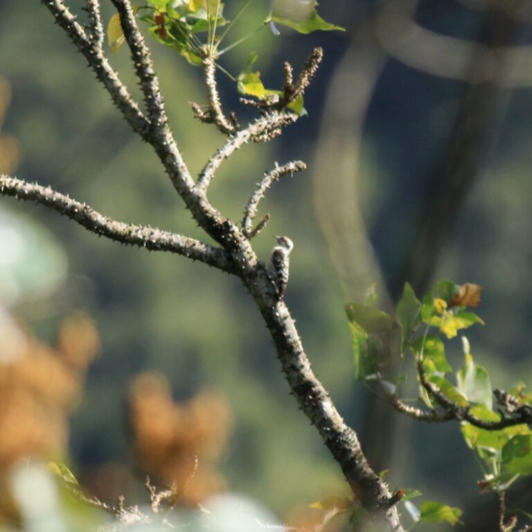
Yungipicus nanus
♥
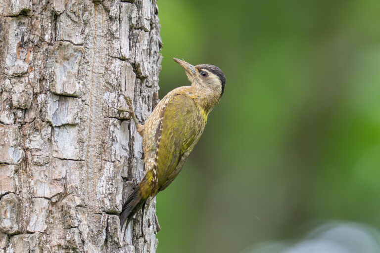
Picus xanthopygaeus
♥
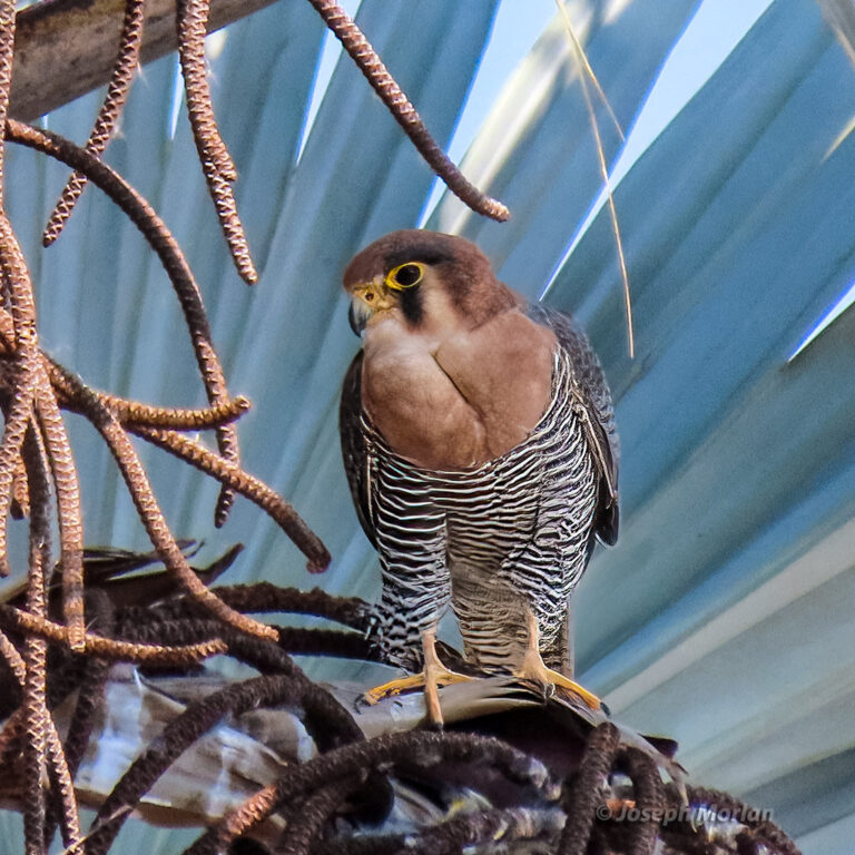
Falco chicquera
♥
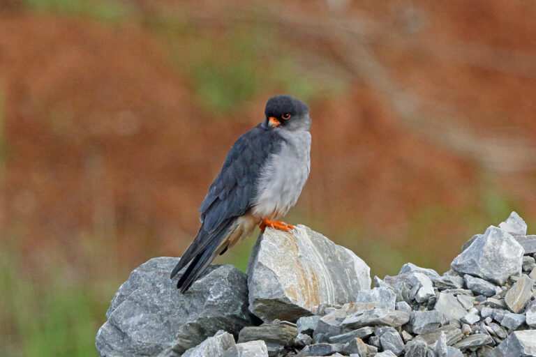
Falco amurensis
♥
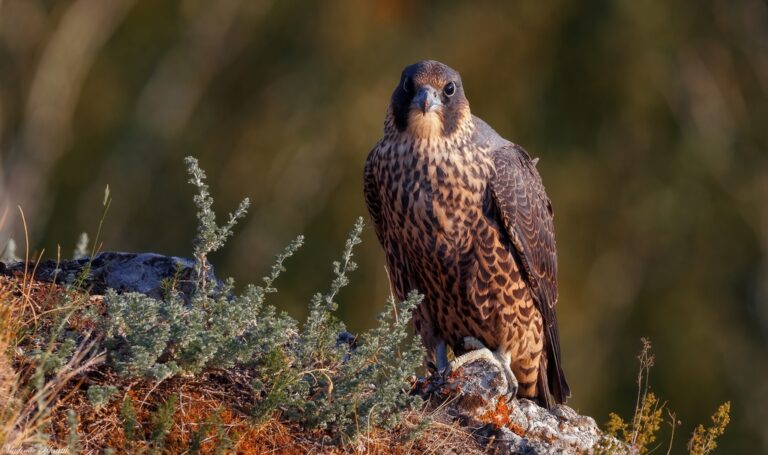
Falco peregrinus
♥
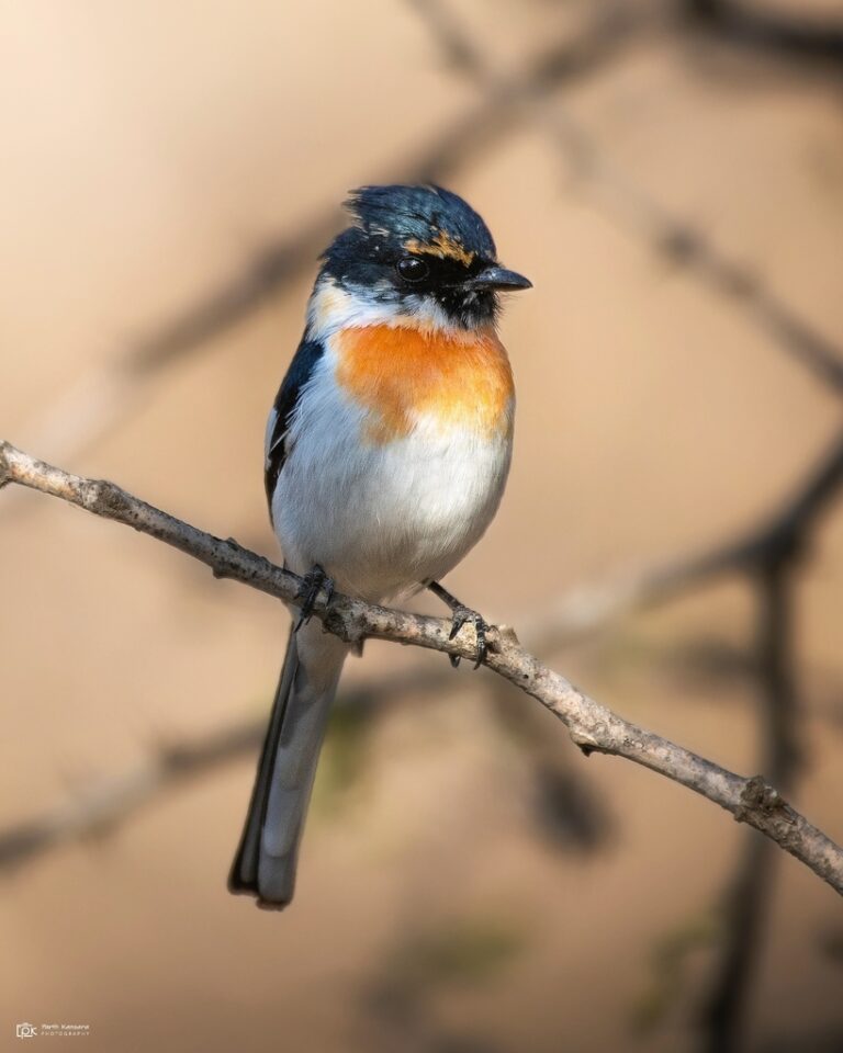
Pericrocotus erythropygius
♥
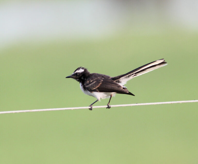
Rhipidura aureola
♥
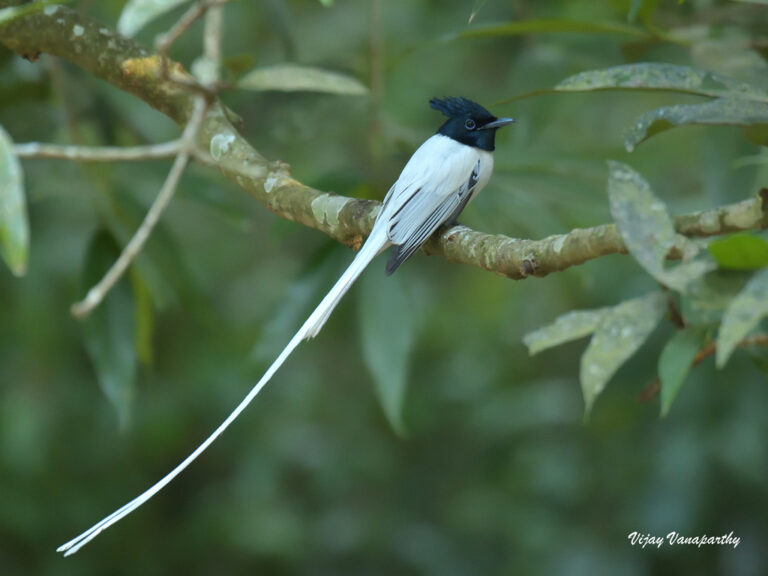
Terpsiphone paradisi
♥
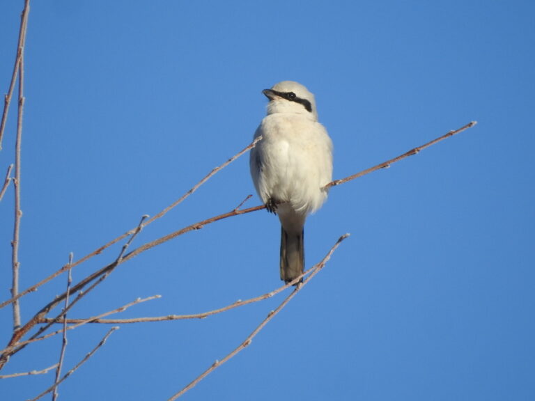
Lanius excubitor
♥
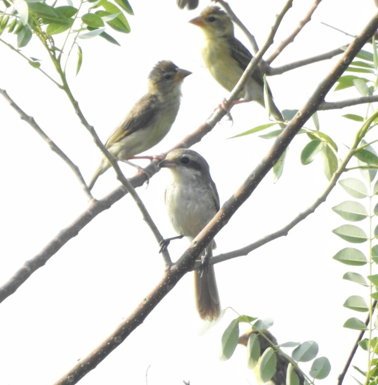
Lanius vittatus
♥
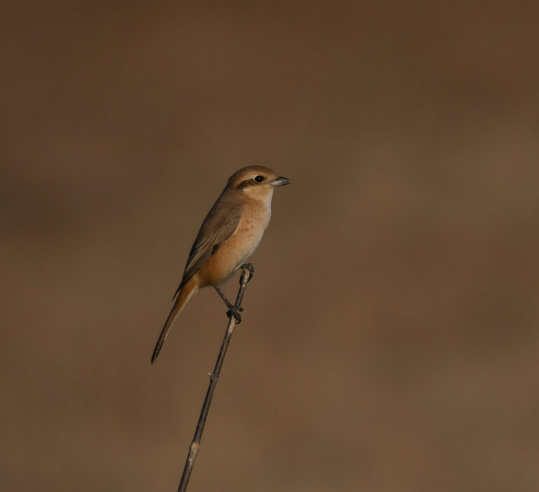
Lanius isabellinus
♥
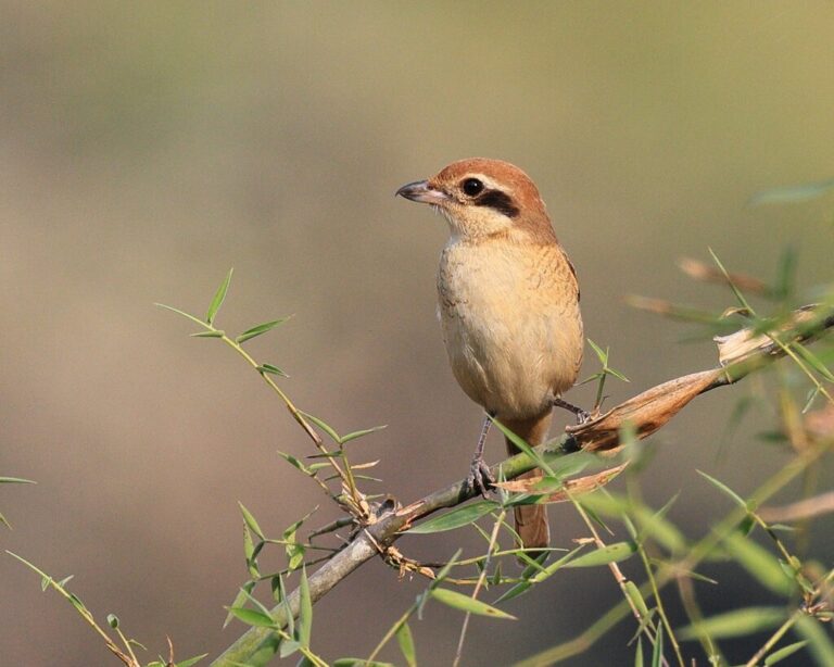
Lanius cristatus
♥
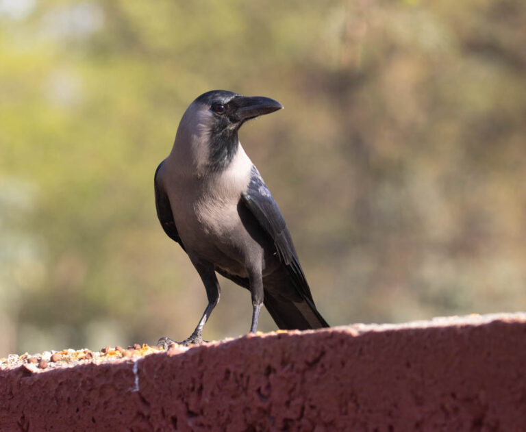
Corvus splendens
♥
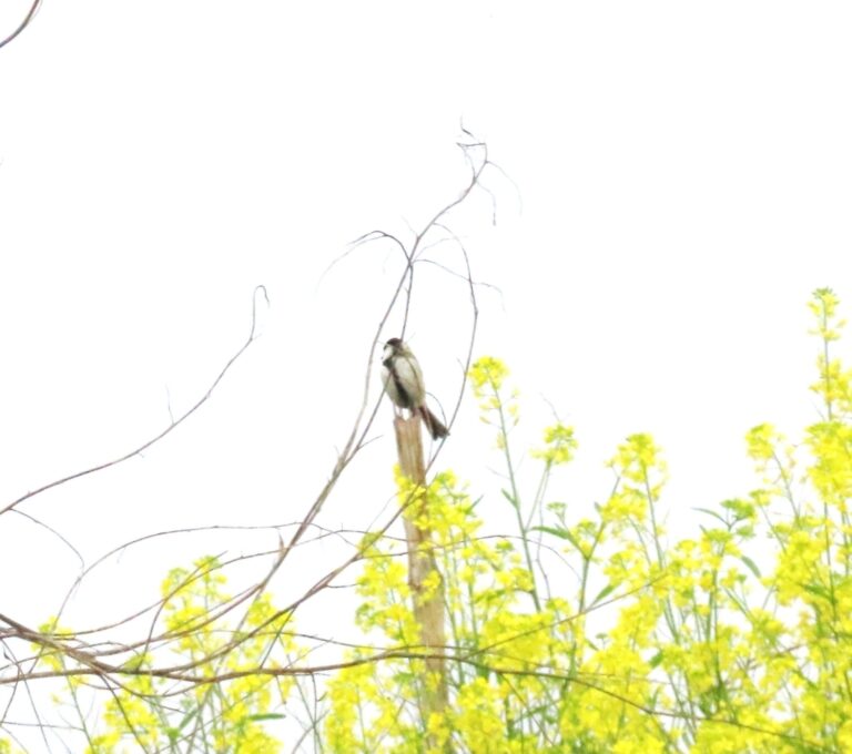
Parus cinereus
♥
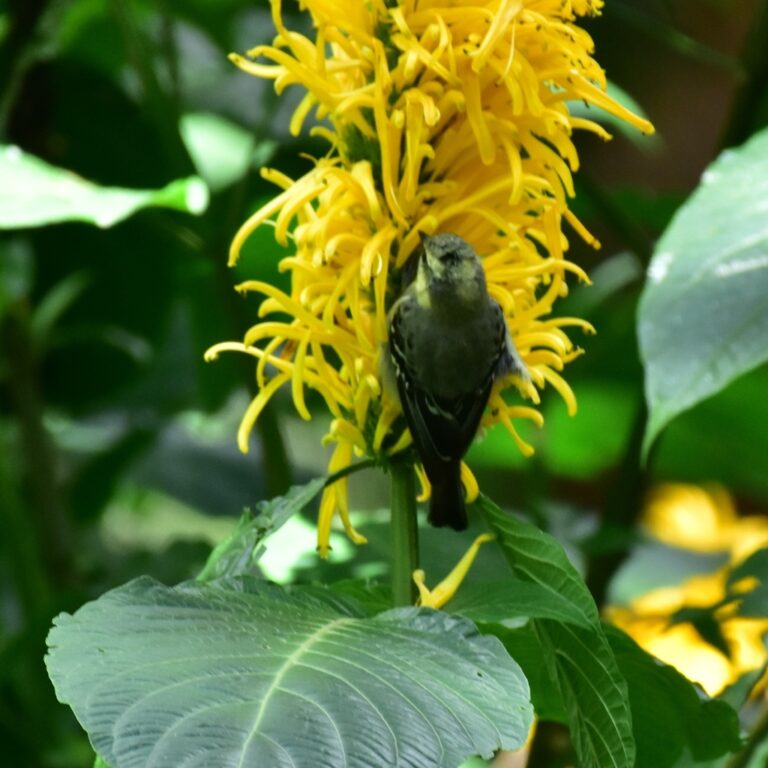
Machlolophus aplonotus
♥
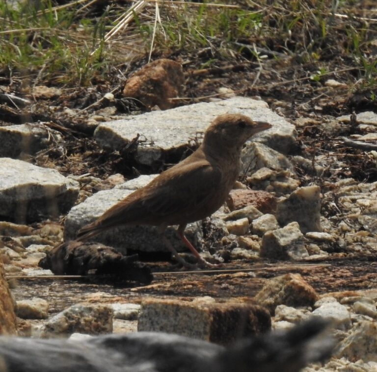
Ammomanes phoenicura
♥
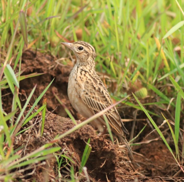
Alauda gulgula
♥
Calandrella dukhunensis
♥
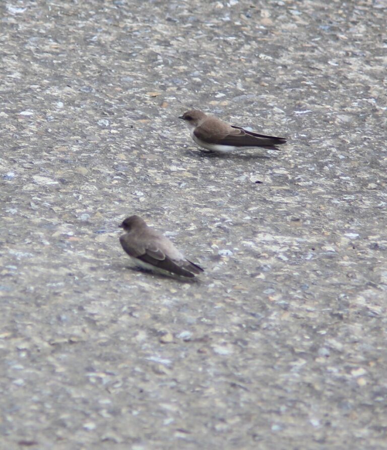
Riparia chinensis
♥
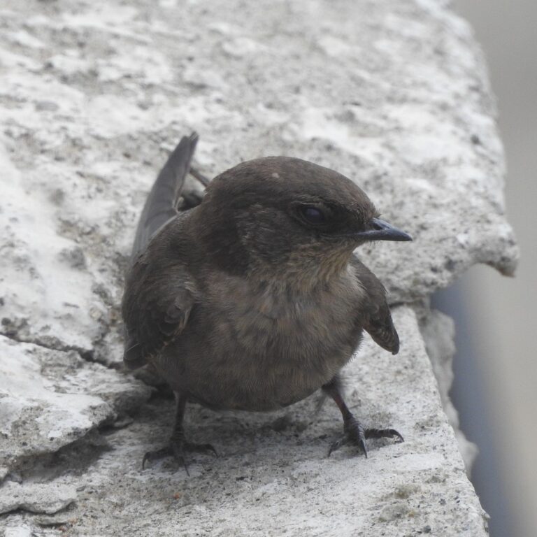
Ptyonoprogne concolor
♥
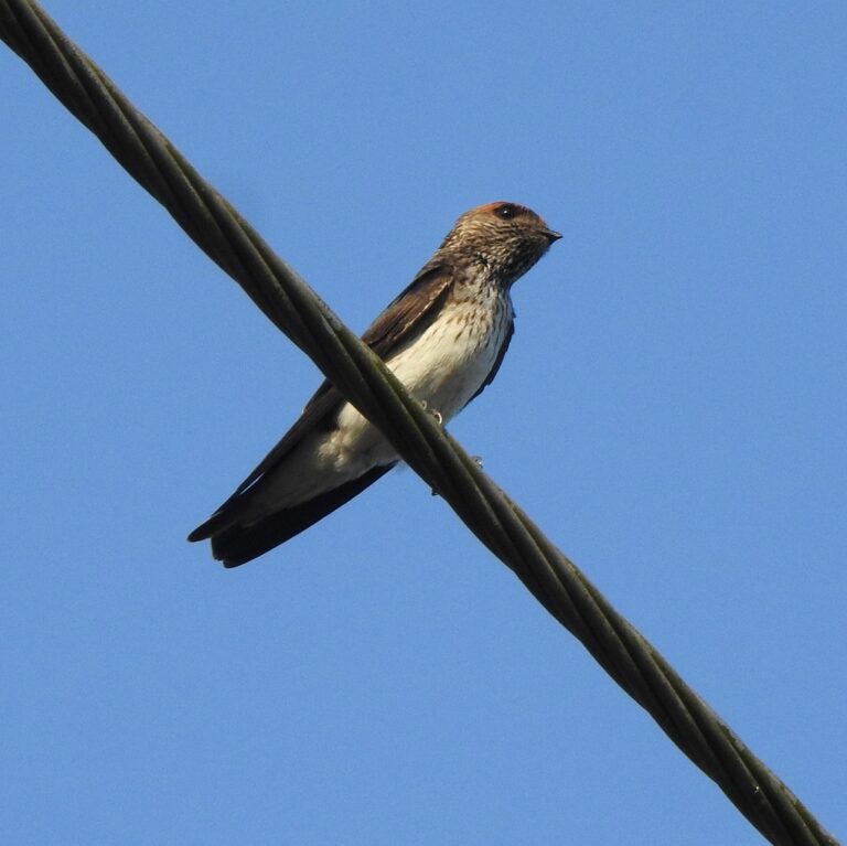
Petrochelidon fluvicola
♥
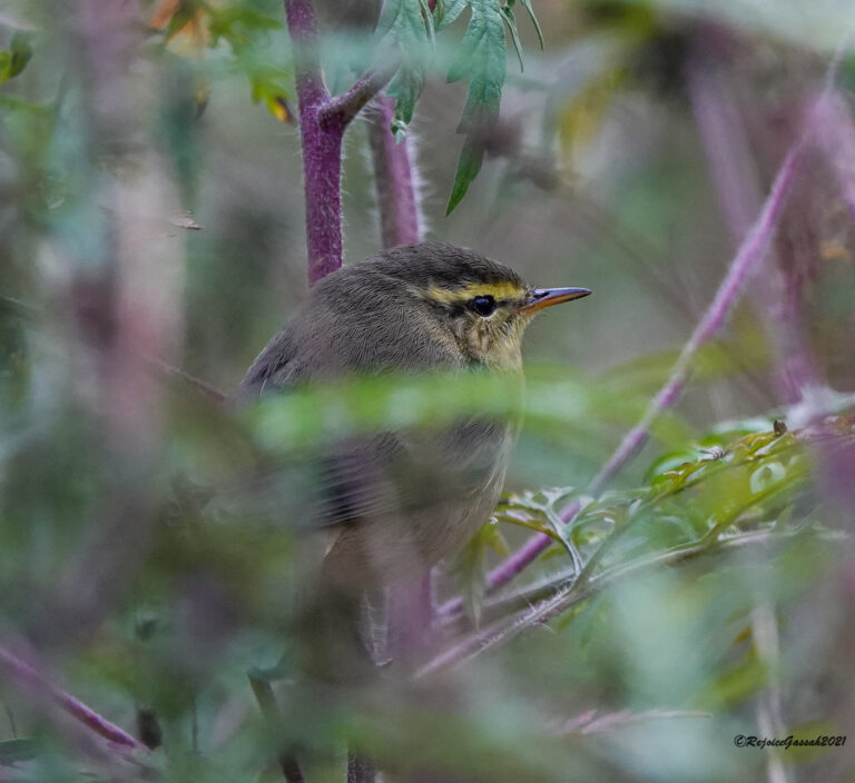
Phylloscopus affinis
♥
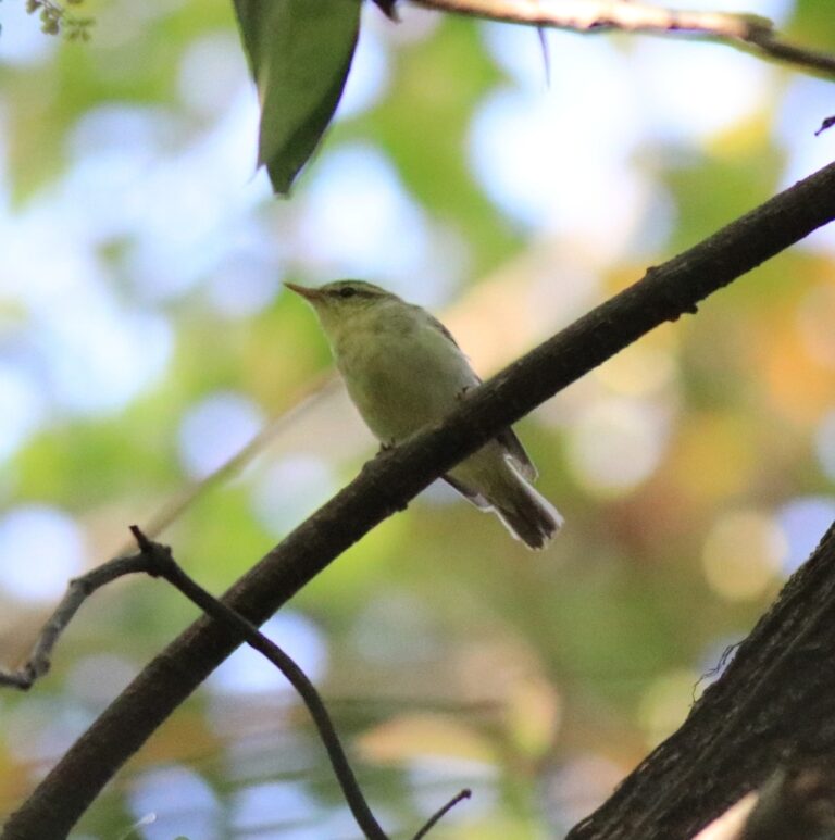
Phylloscopus nitidus
♥
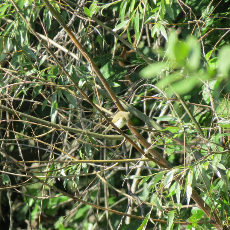
Phylloscopus trochiloides
♥
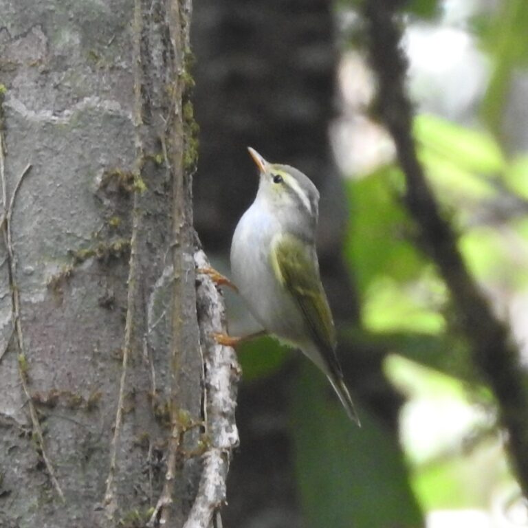
Phylloscopus occipitalis
♥
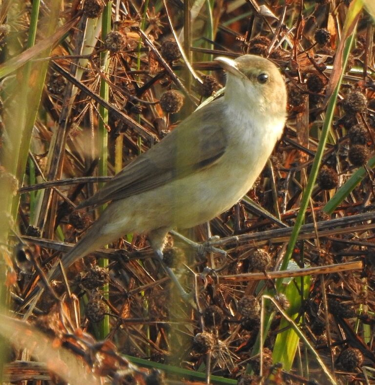
Acrocephalus stentoreus
♥
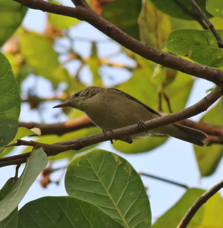
Acrocephalus dumetorum
♥
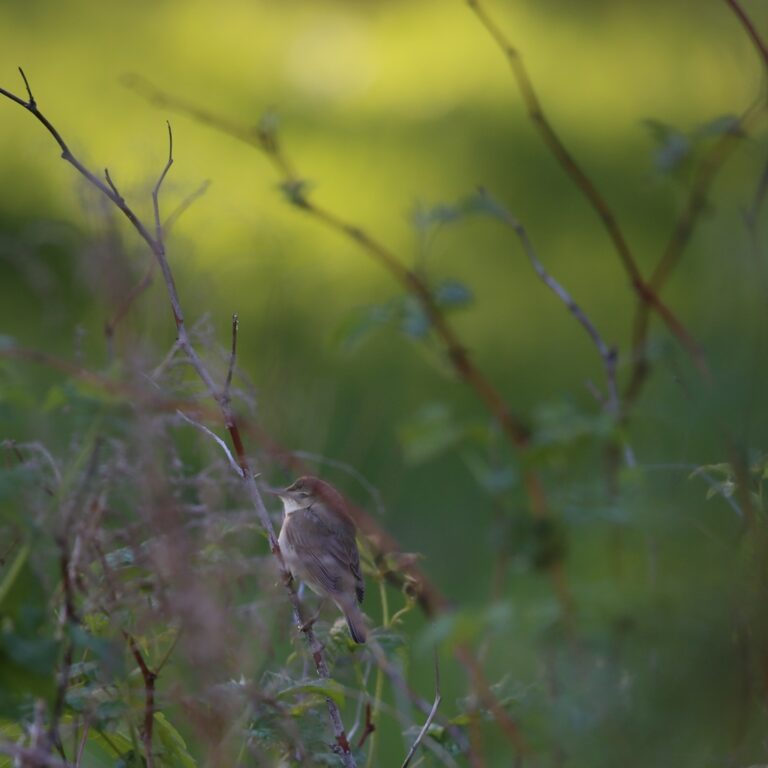
Iduna caligata
♥
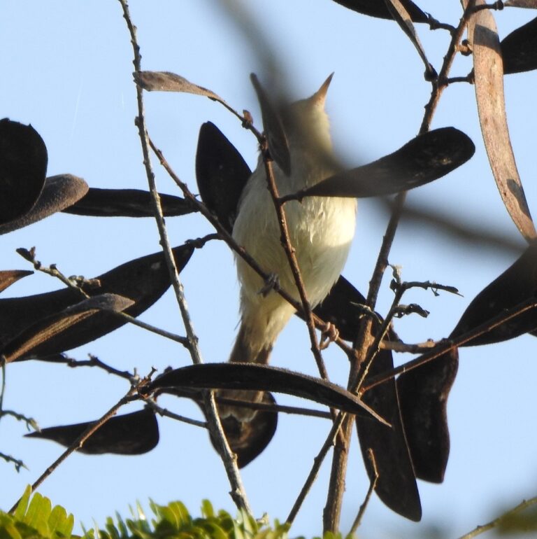
Iduna rama
♥
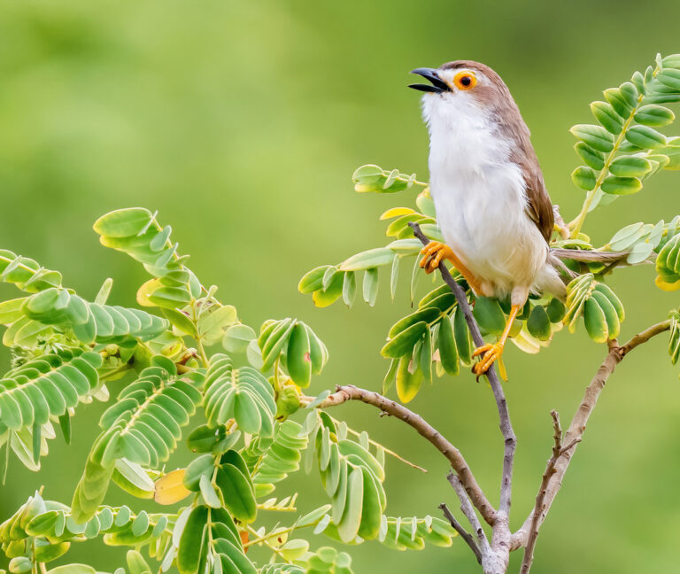
Chrysomma sinense
♥
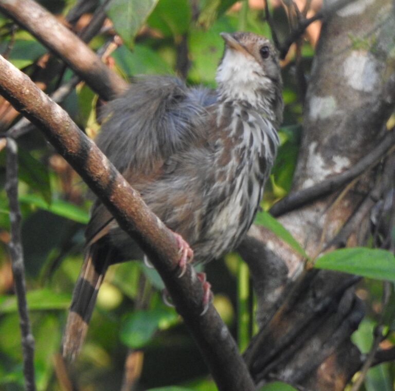
Pellorneum ruficeps
♥
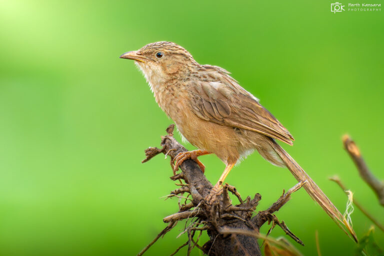
Argya caudata
♥
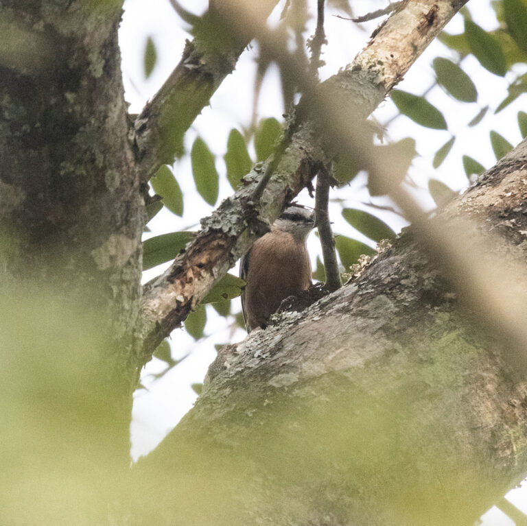
Sitta castanea
♥
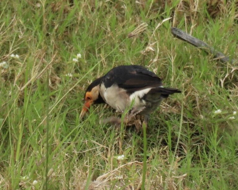
Gracupica contra
♥
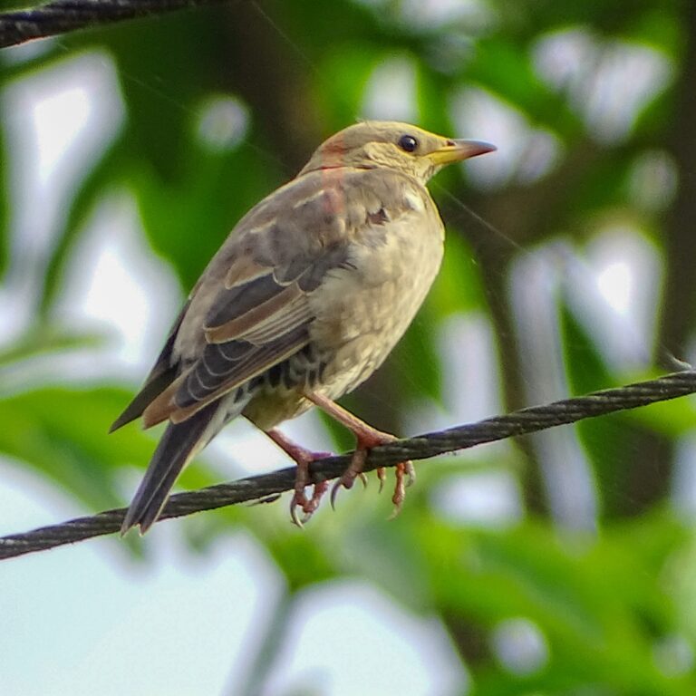
Pastor roseus
♥
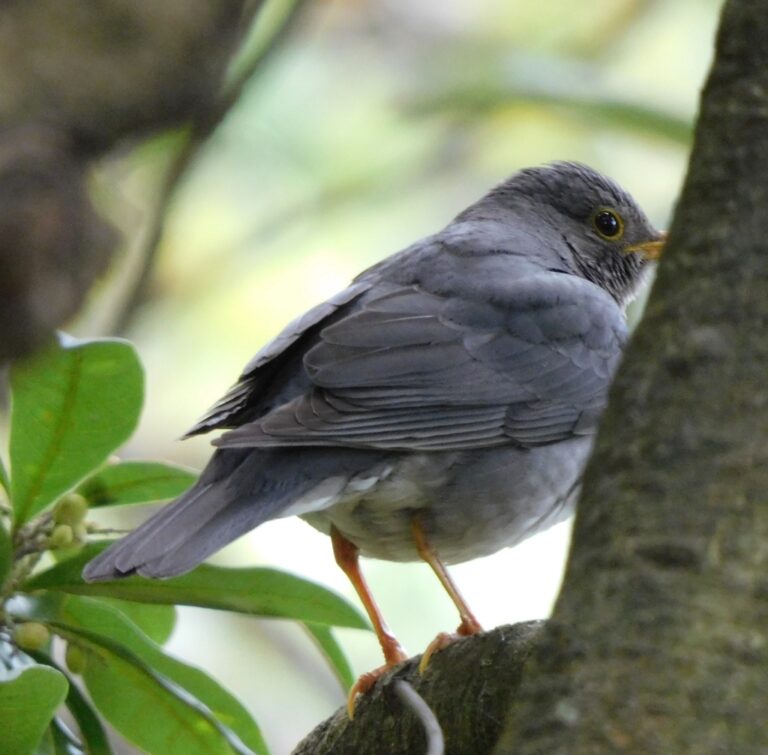
Turdus unicolor
♥
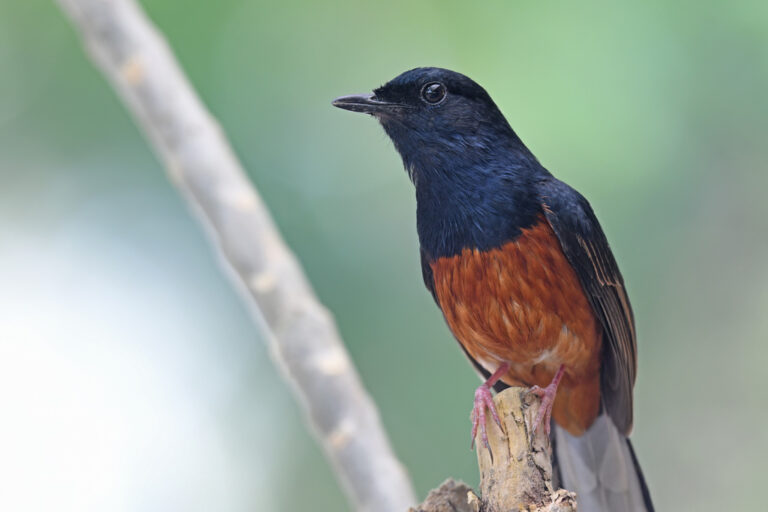
Copsychus malabaricus
♥
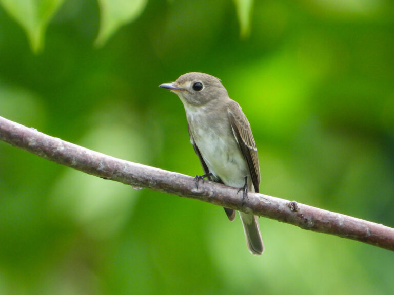
Muscicapa dauurica
♥
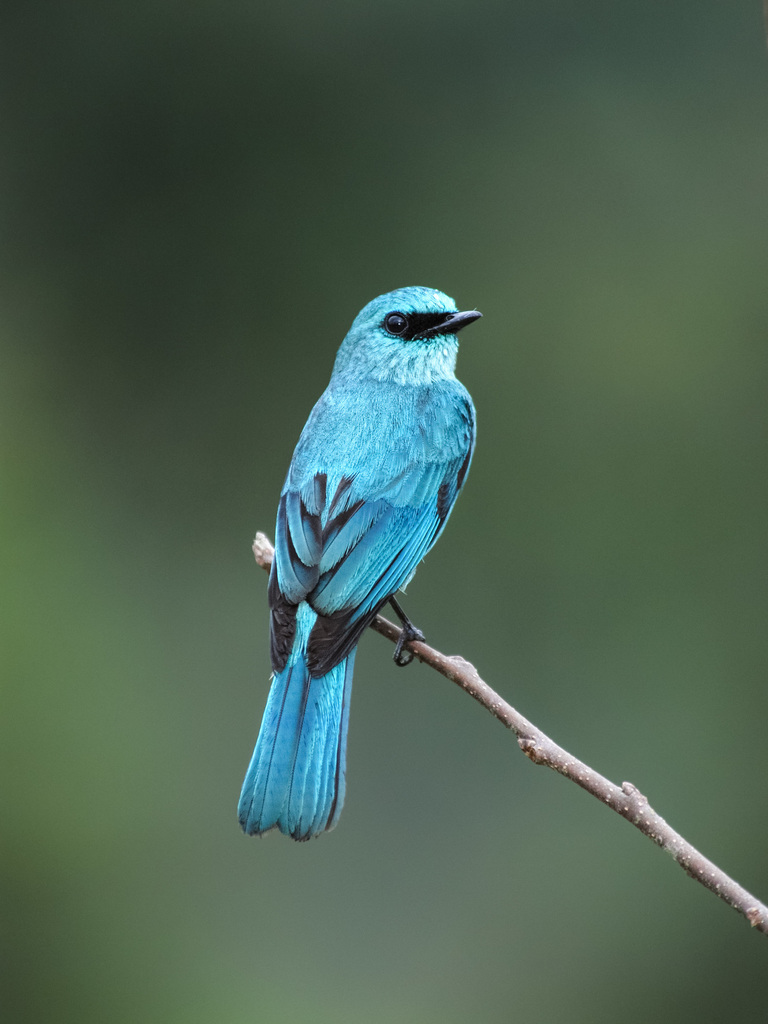
Eumyias thalassinus
♥
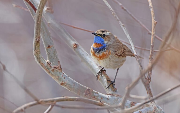
Luscinia svecica
♥
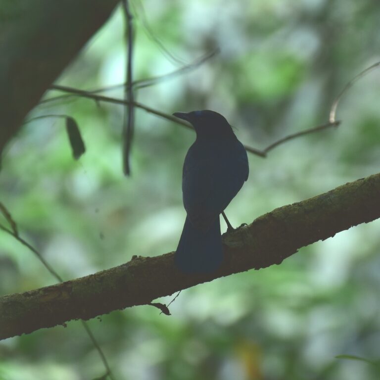
Myophonus horsfieldii
♥
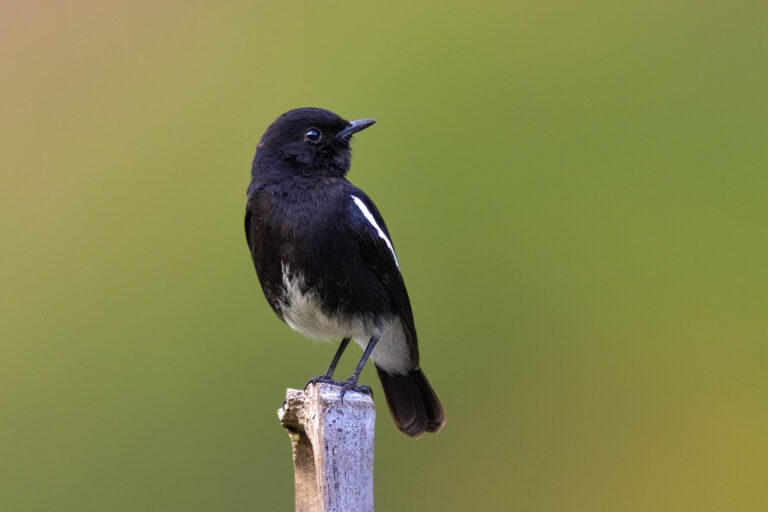
Saxicola caprata
♥
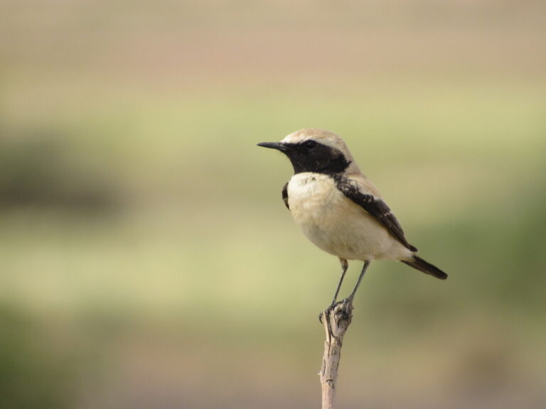
Oenanthe deserti
♥
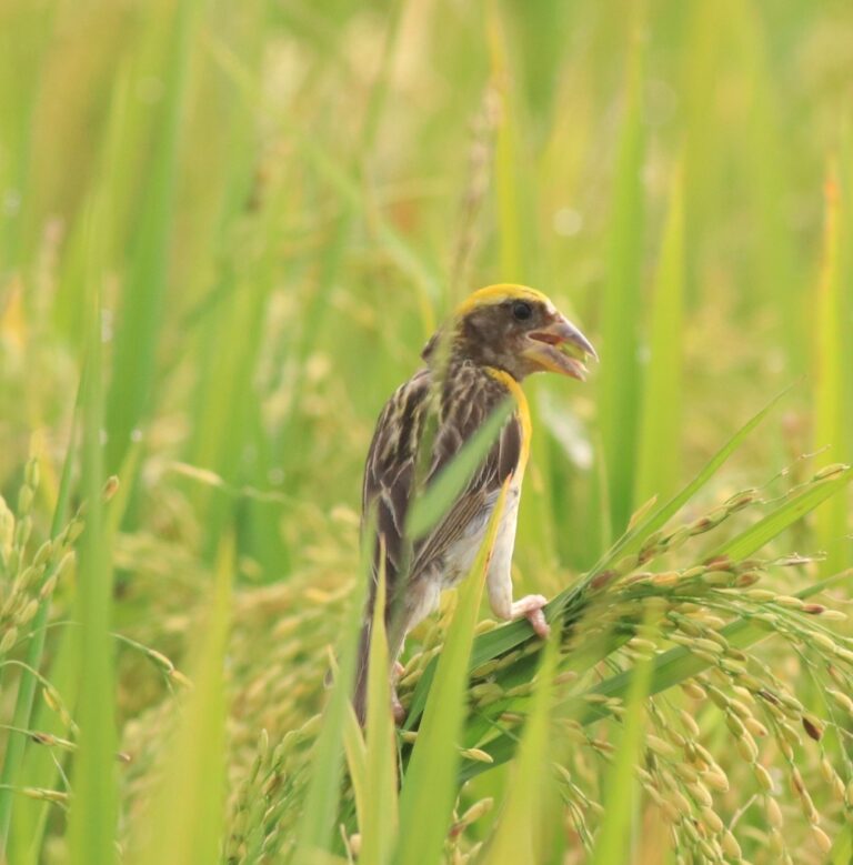
Ploceus philippinus
♥
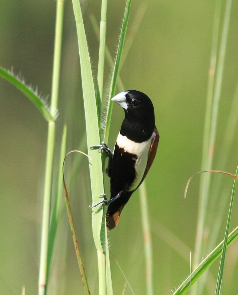
Lonchura malacca
♥
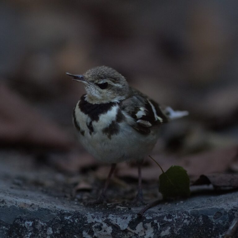
Dendronanthus indicus
♥
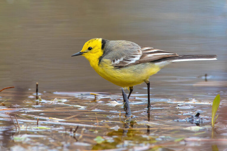
Motacilla citreola
♥
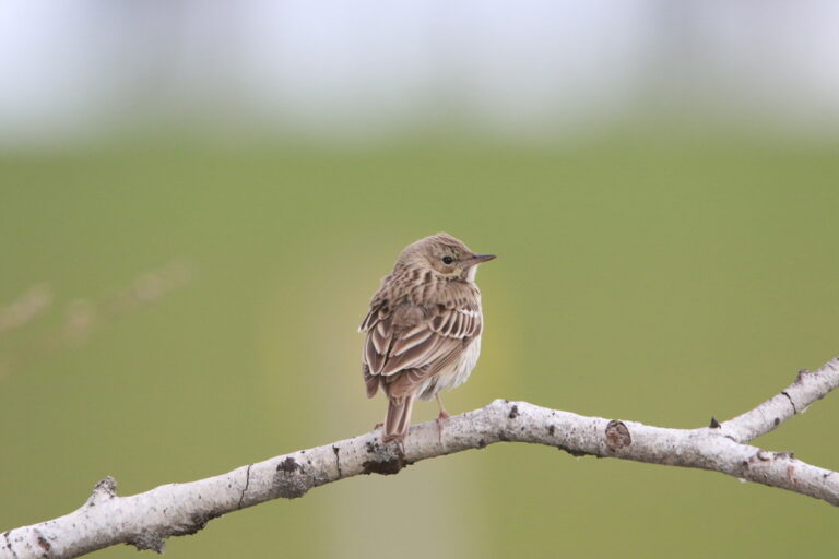
Anthus trivialis
♥
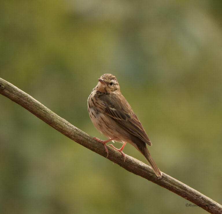
Anthus hodgsoni
♥
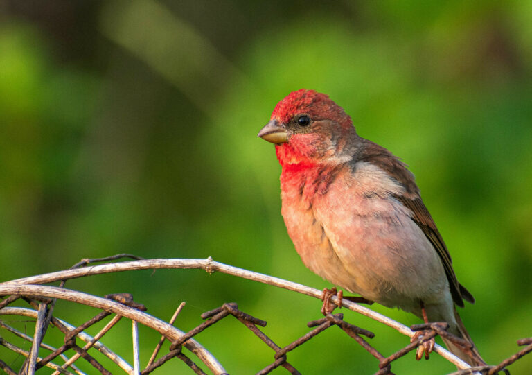
Carpodacus erythrinus
♥
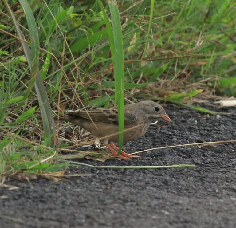
Emberiza buchanani
♥
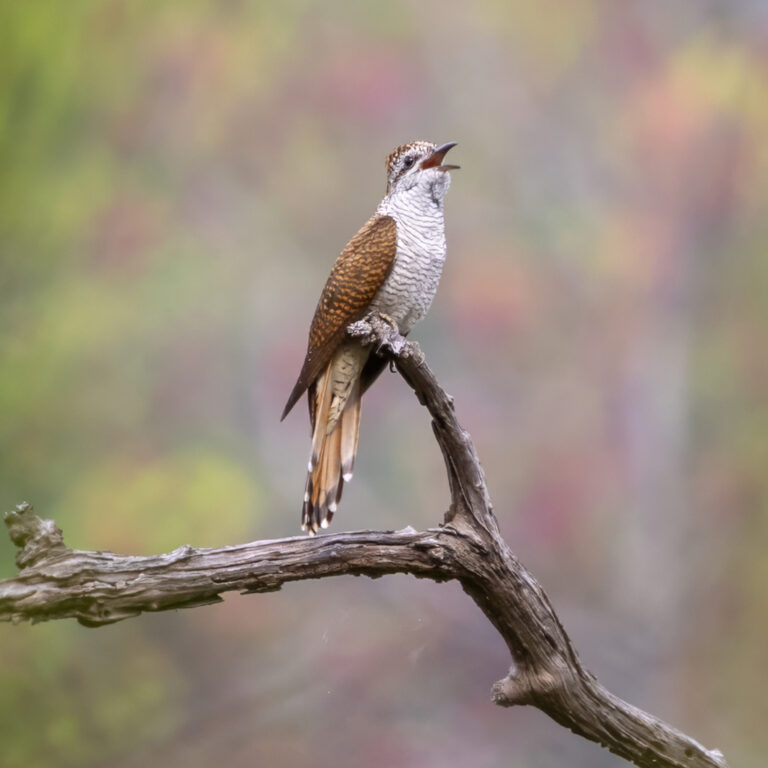
Cacomantis sonneratii
♥
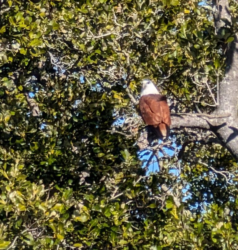
Haliastur indus
♥
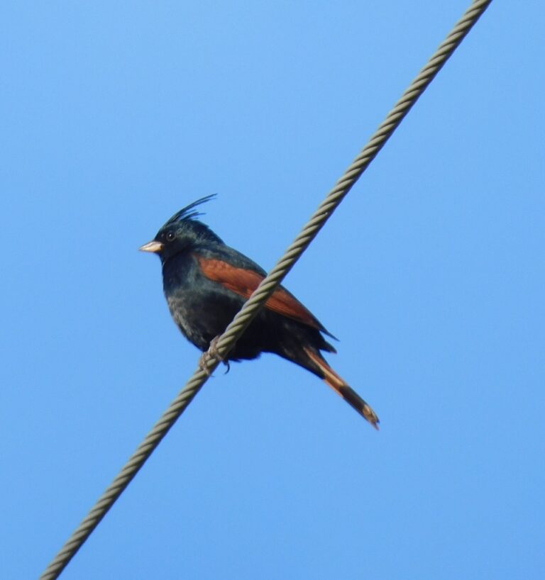
Emberiza lathami
♥
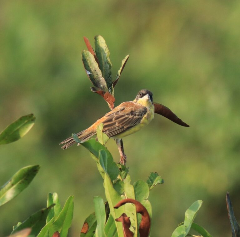
Emberiza melanocephala
♥
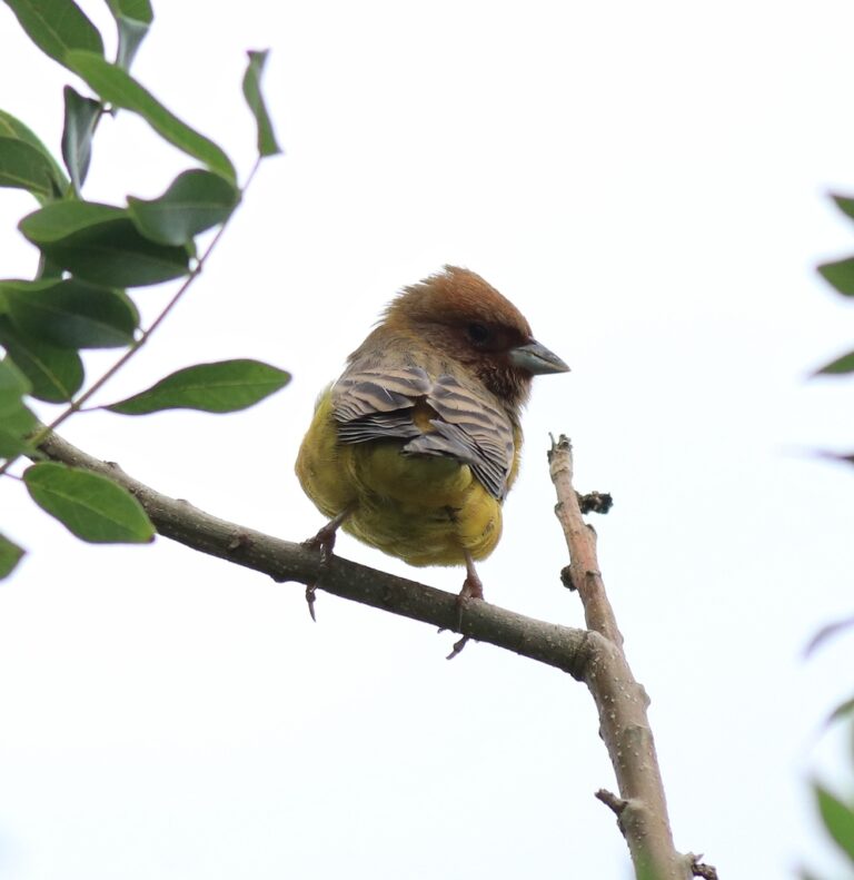
Emberiza bruniceps
♥
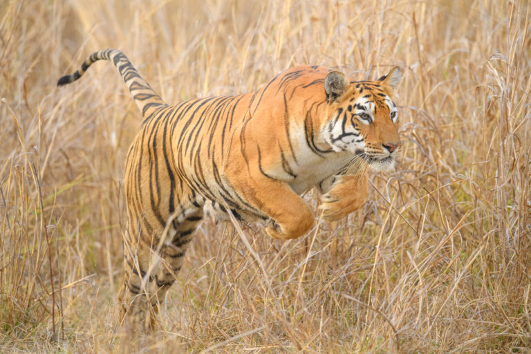
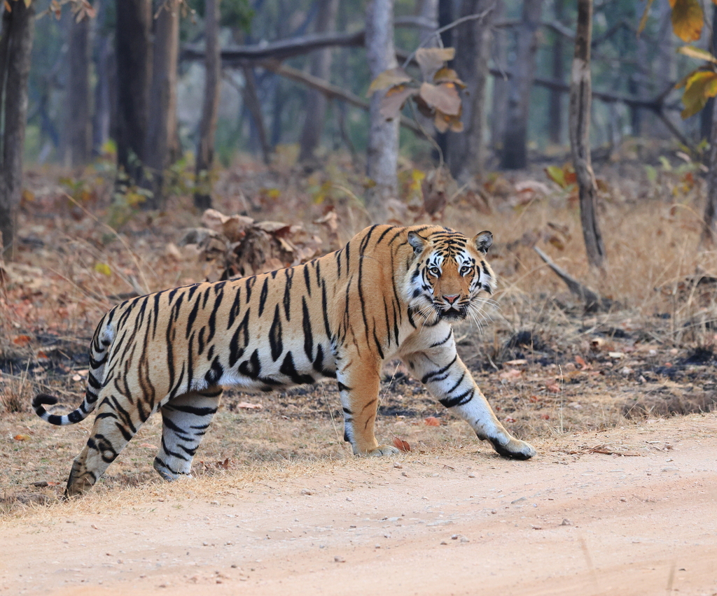
Panthera tigris
♥
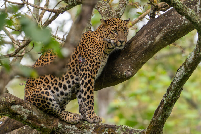
Panthera pardus
♥
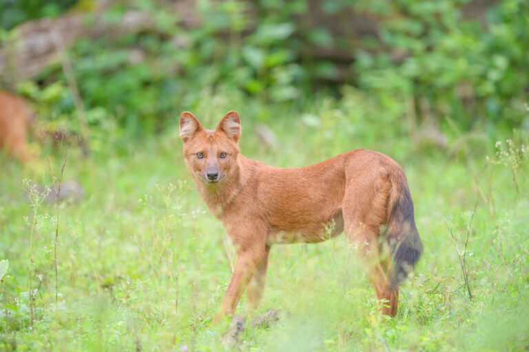
Cuon alpinus
♥
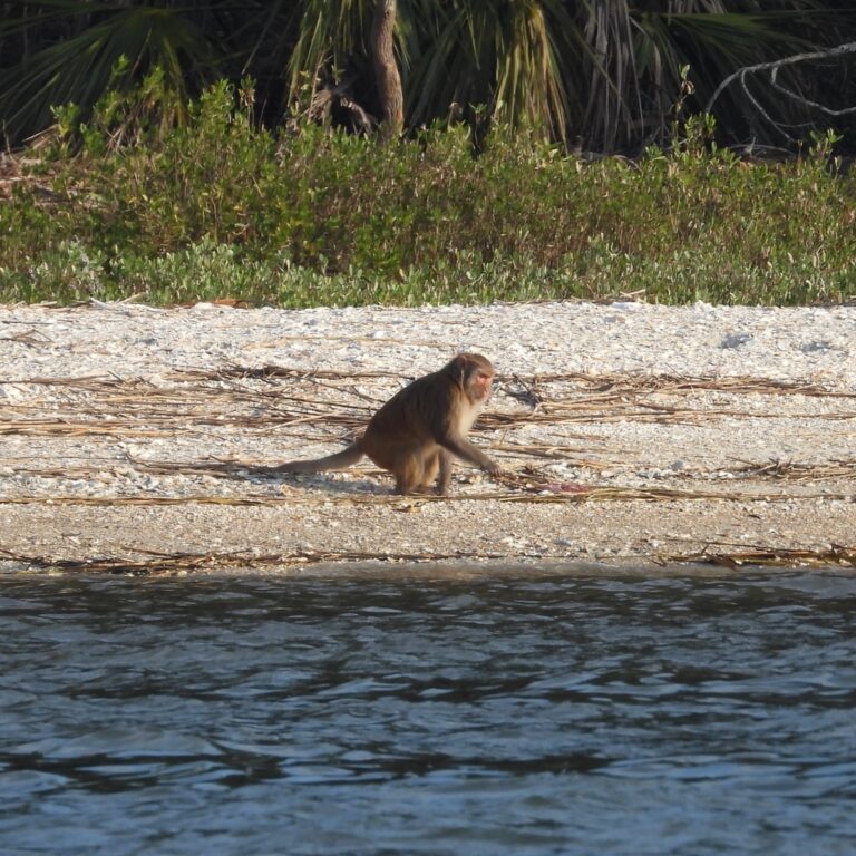
Macaca mulatta
♥
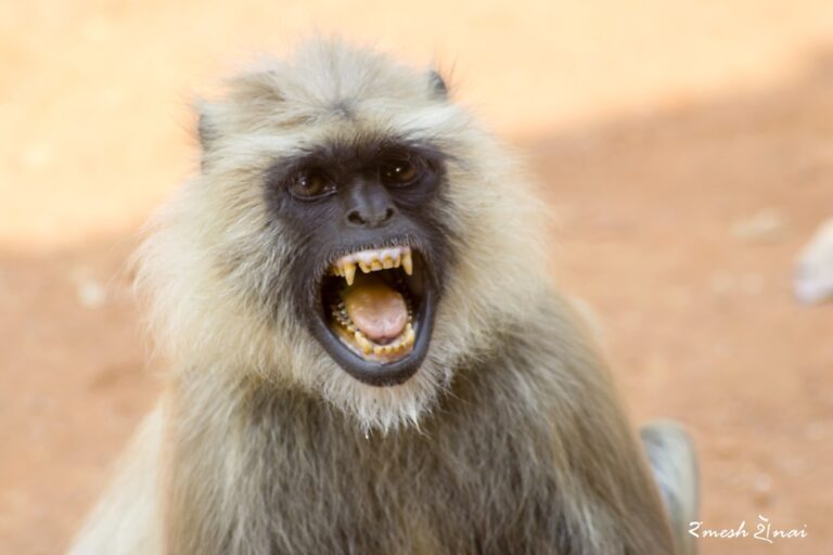
Semnopithecus entellus
♥
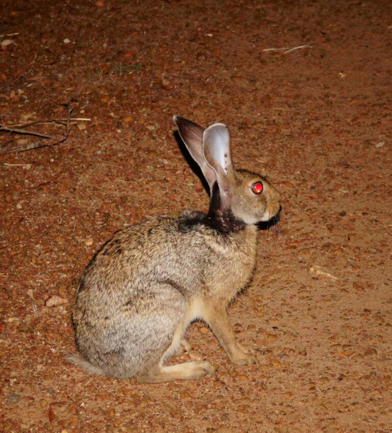
Lepus nigricollis
♥
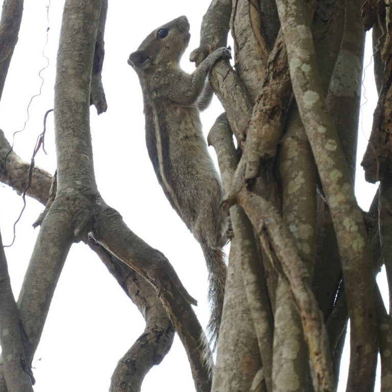
Funambulus palmarum
♥
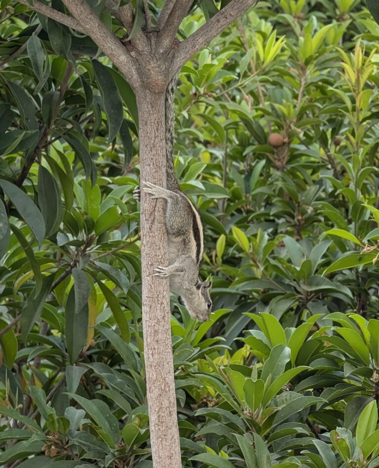
Funambulus pennantii
♥
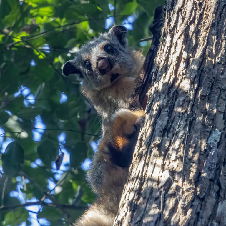
Petaurista philippensis
♥
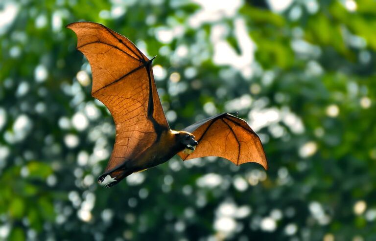
Pteropus medius
♥
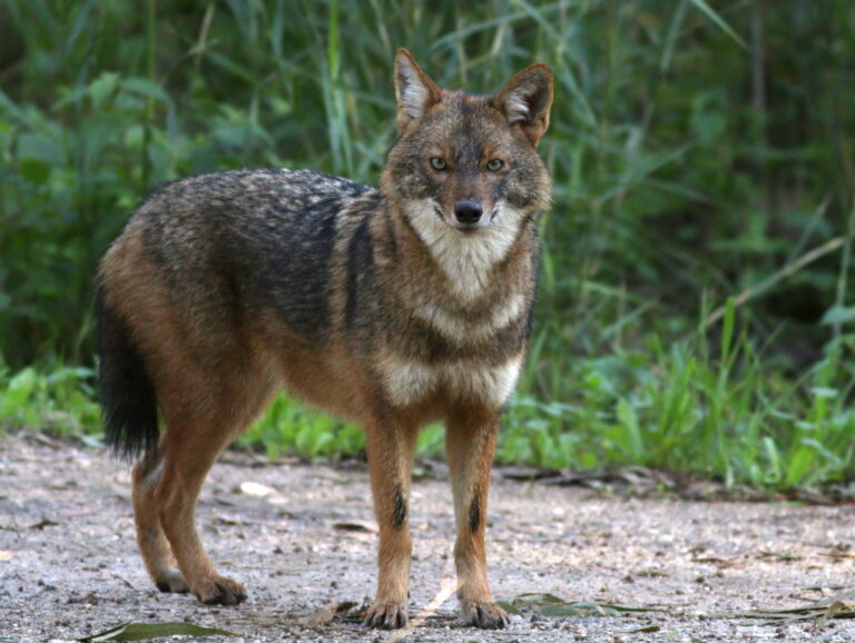
Canis aureus
♥
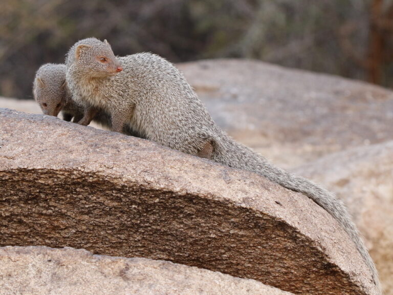
Urva edwardsii
♥
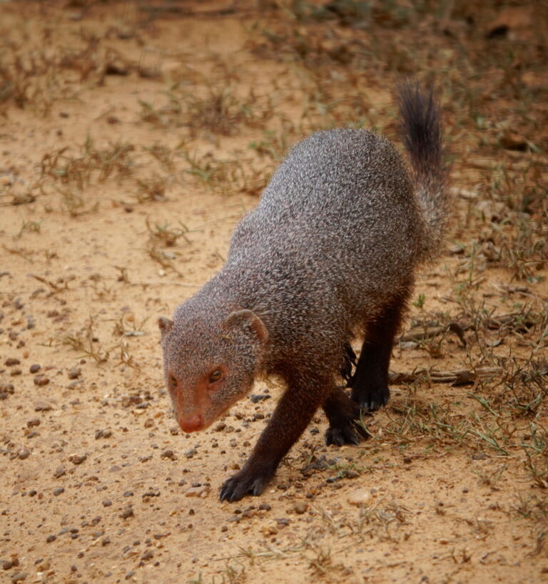
Urva smithii
♥
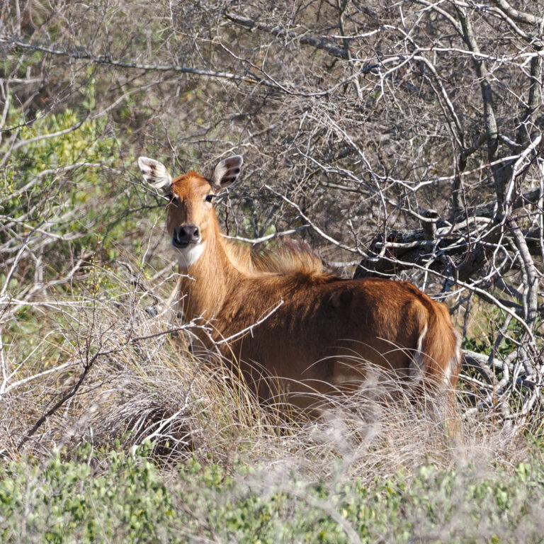
Boselaphus tragocamelus
♥
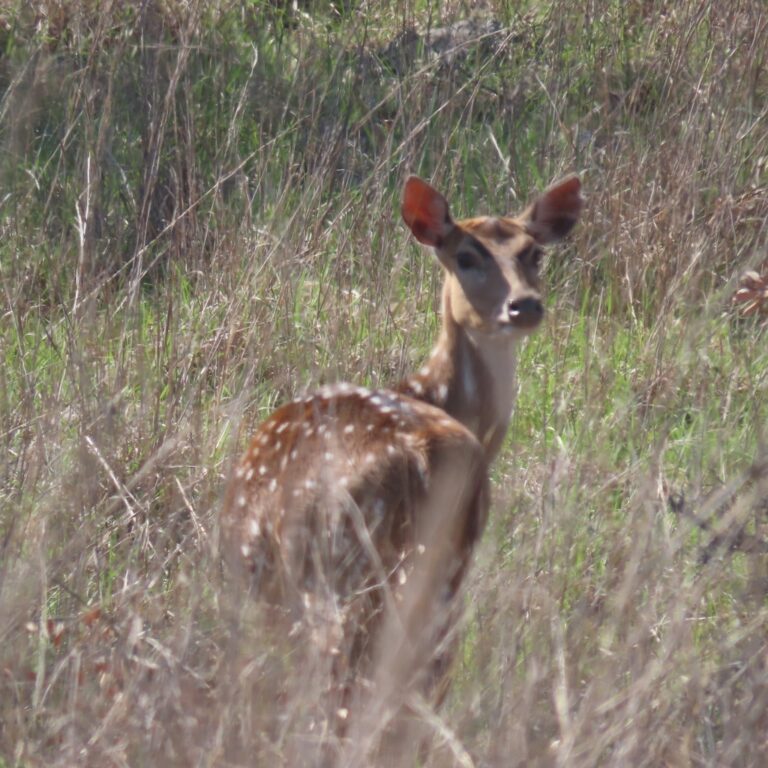
Axis axis
♥
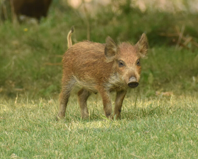
Sus scrofa
♥
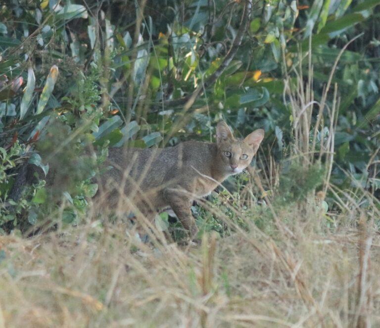
Felis chaus
♥
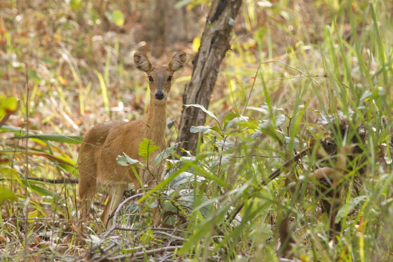
Tetracerus quadricornis
♥
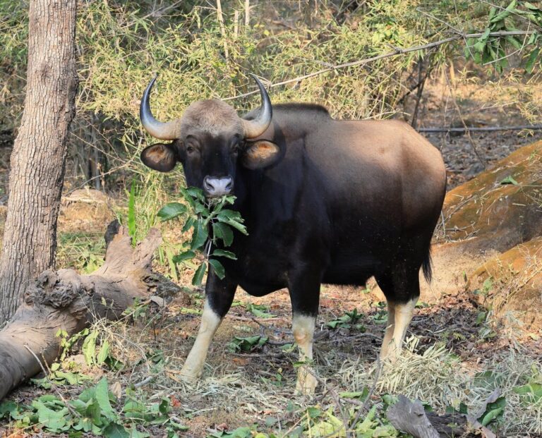
Bos gaurus
♥
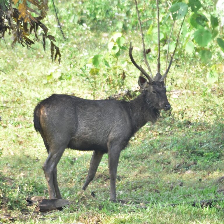
Rusa unicolor
♥