Average annual temperature
7.7 °C
Average of the twelve monthly means
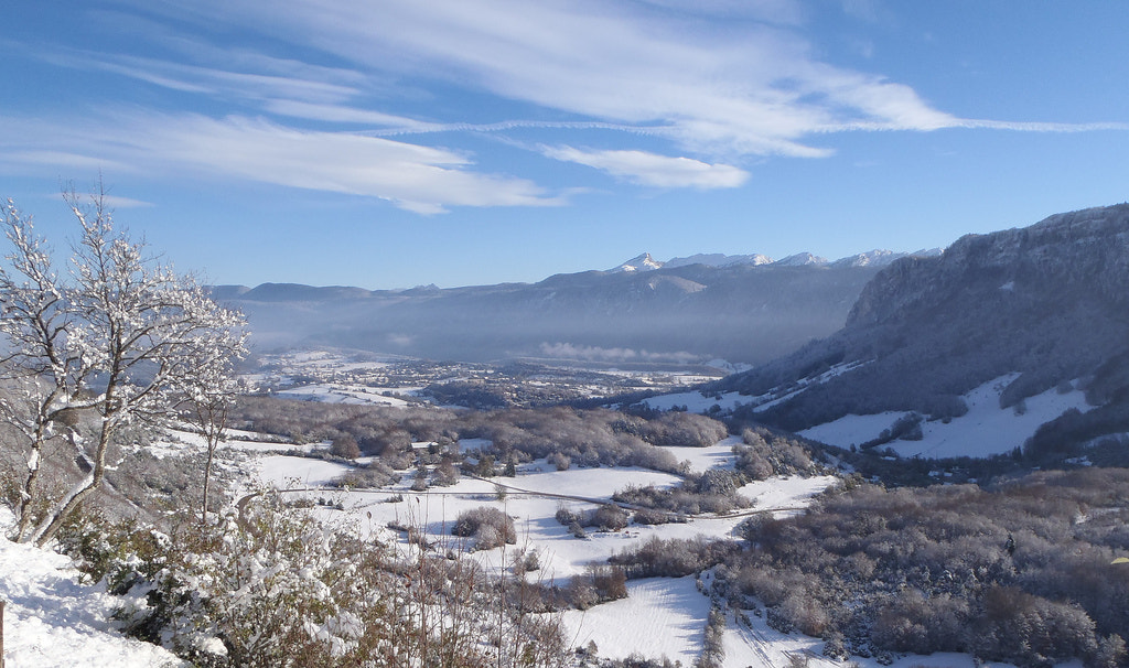
Vercors Regional Nature Park
Photo © Peupleloup
Photo © Peupleloup — CC BY-SA 4.0 — Source: Wikimedia Commons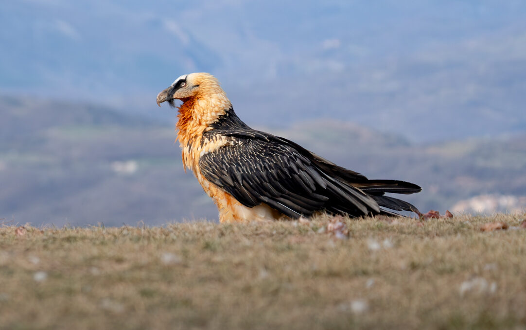
Gypaetus barbatus
♥
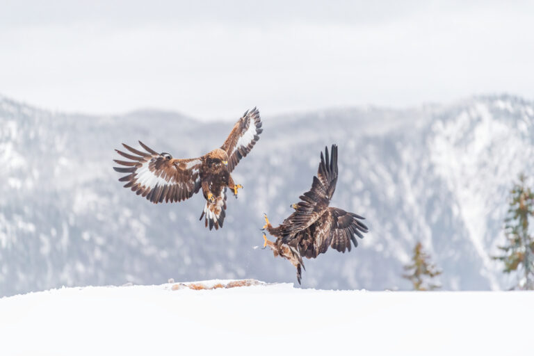
Aquila chrysaetos
♥
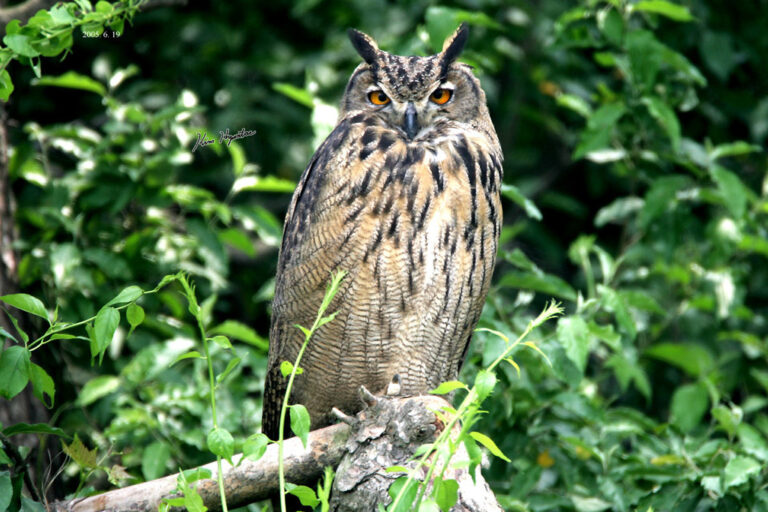
Bubo bubo
♥
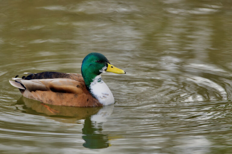
Anas platyrhynchos
♥
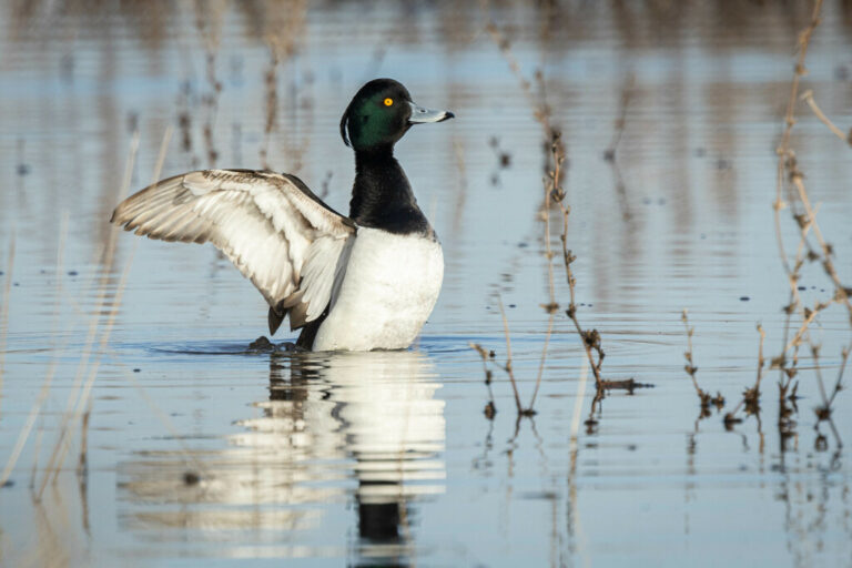
Aythya fuligula
♥
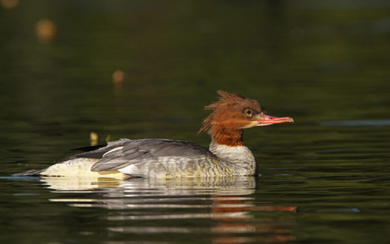
Mergus merganser
♥
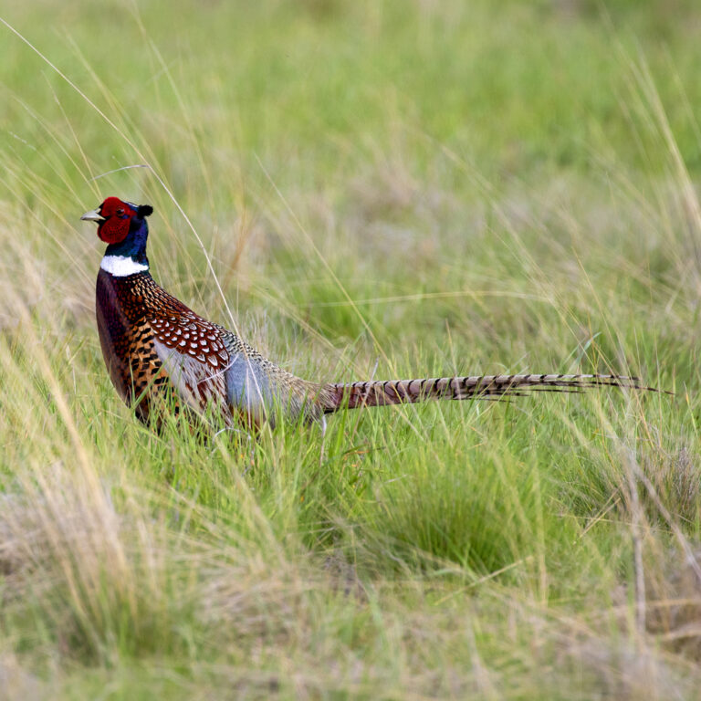
Phasianus colchicus
♥
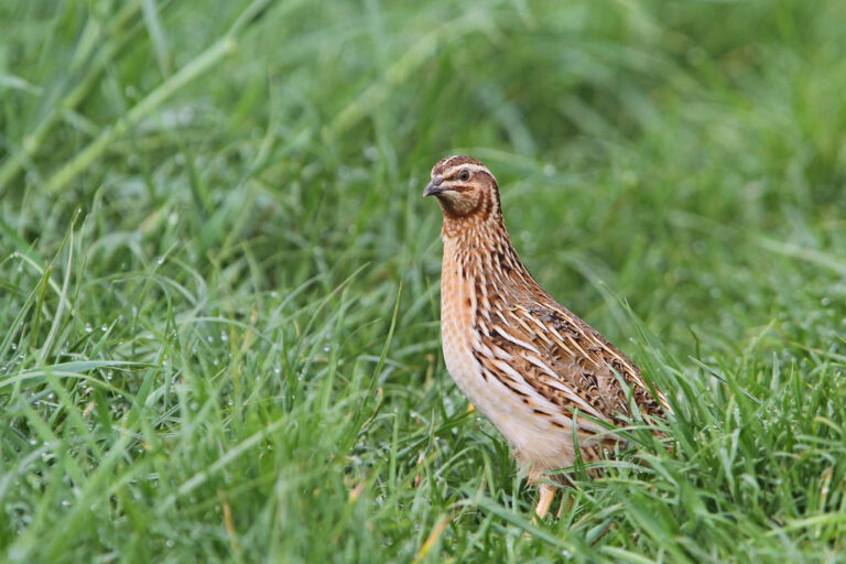
Coturnix coturnix
♥
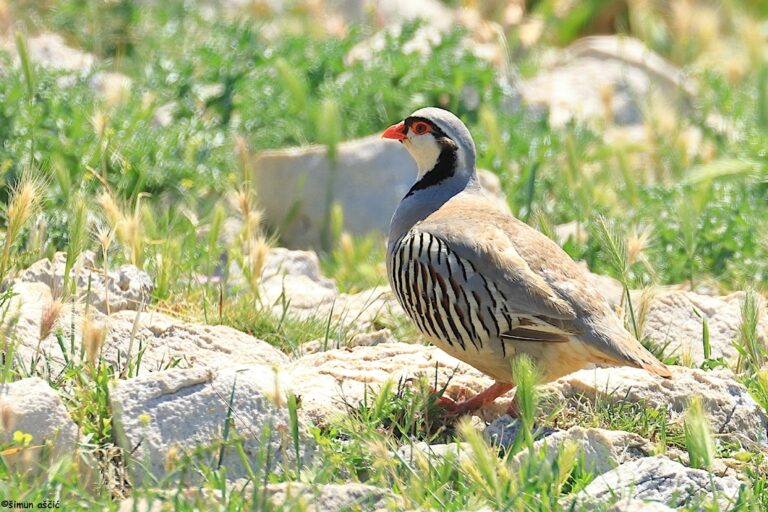
Alectoris graeca
♥
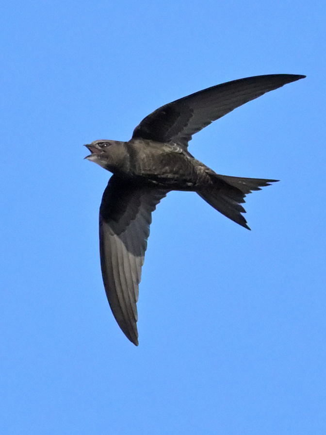
Apus apus
♥
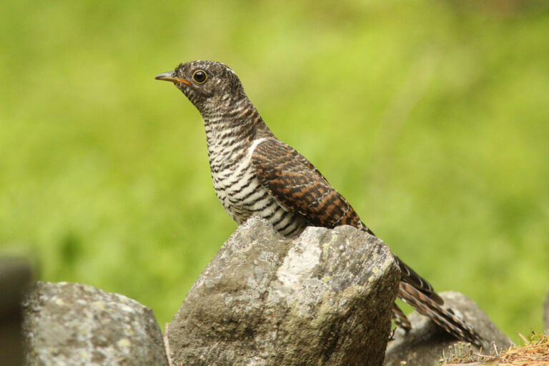
Cuculus canorus
♥
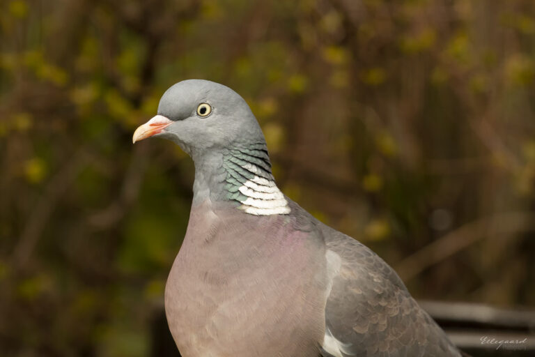
Columba palumbus
♥
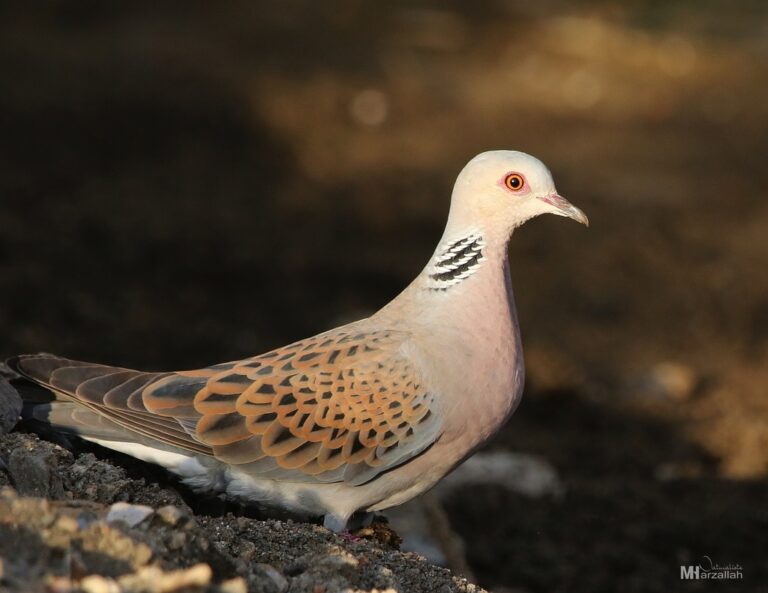
Streptopelia turtur
♥
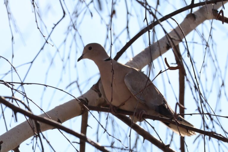
Streptopelia decaocto
♥
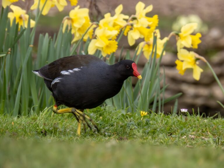
Gallinula chloropus
♥
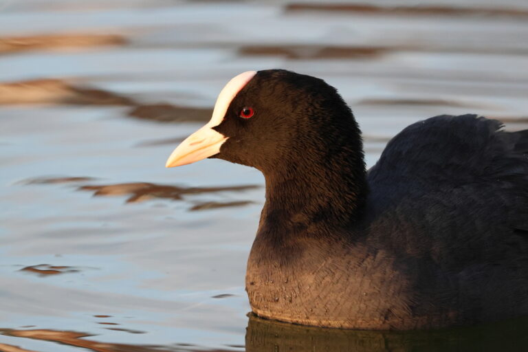
Fulica atra
♥
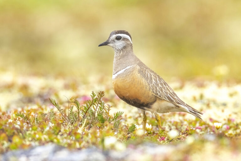
Eudromias morinellus
♥
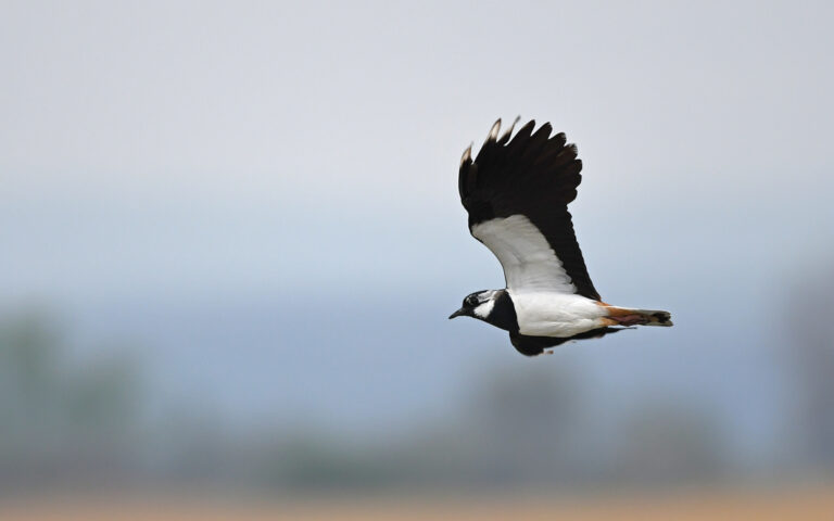
Vanellus vanellus
♥
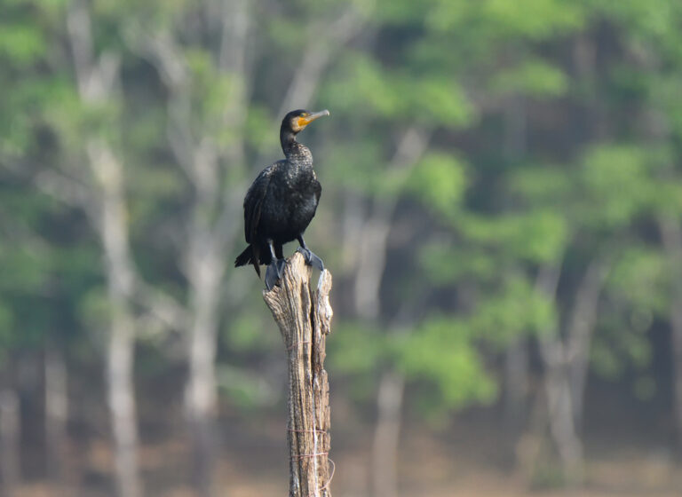
Phalacrocorax carbo
♥
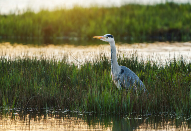
Ardea cinerea
♥
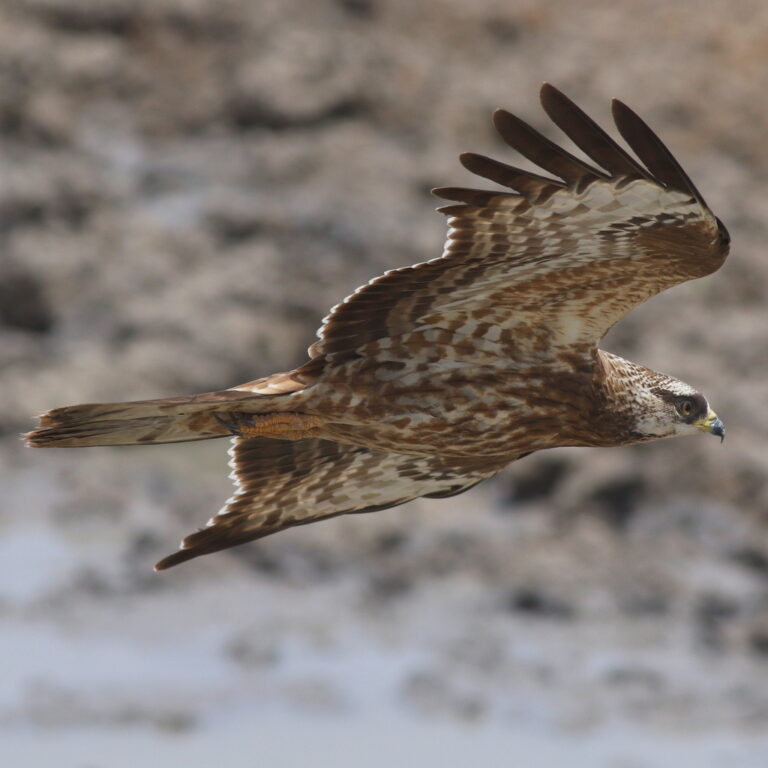
Pernis apivorus
♥
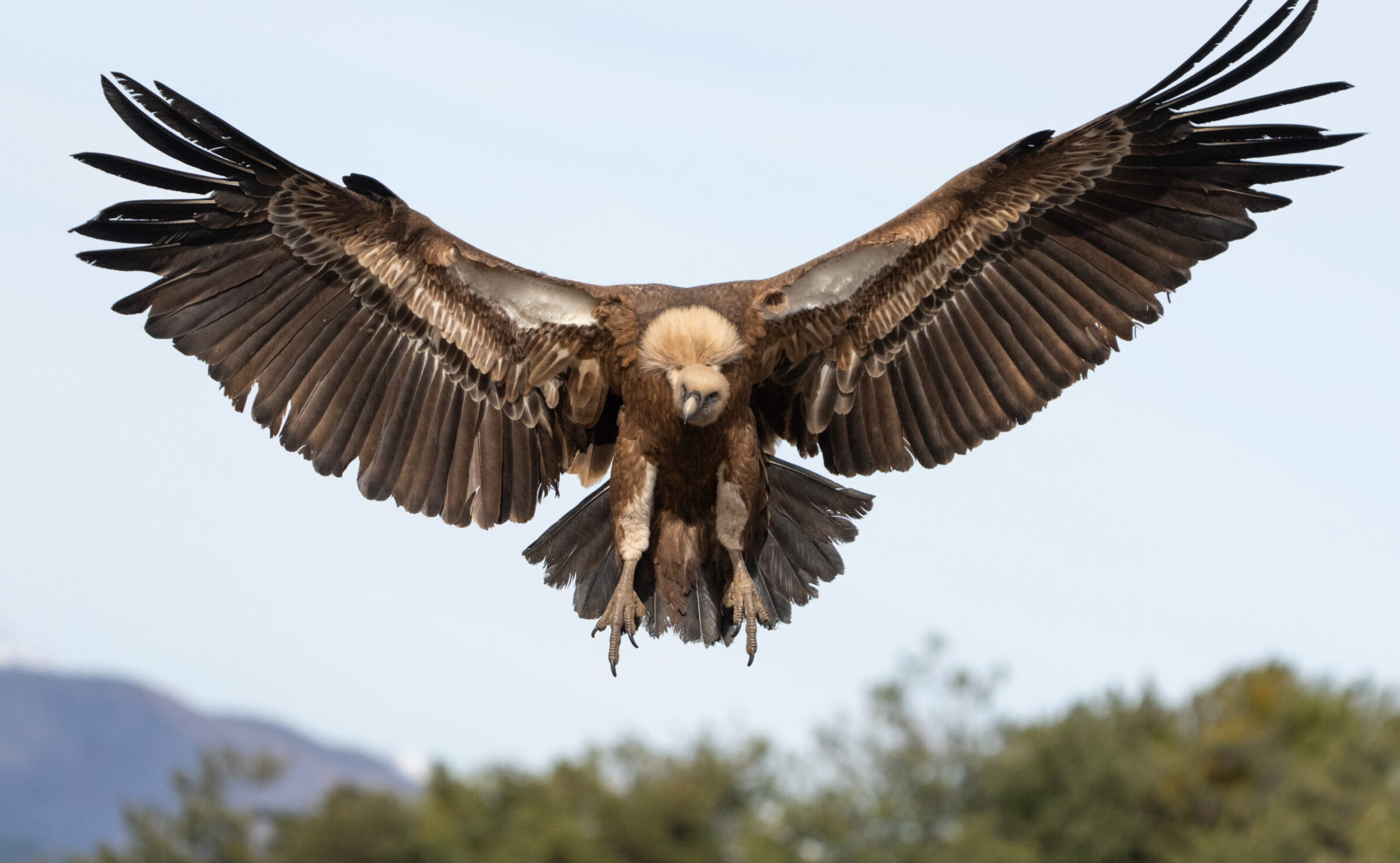
Gyps fulvus
♥
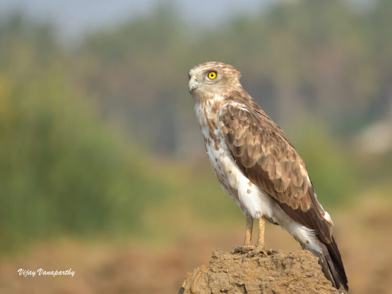
Circaetus gallicus
♥
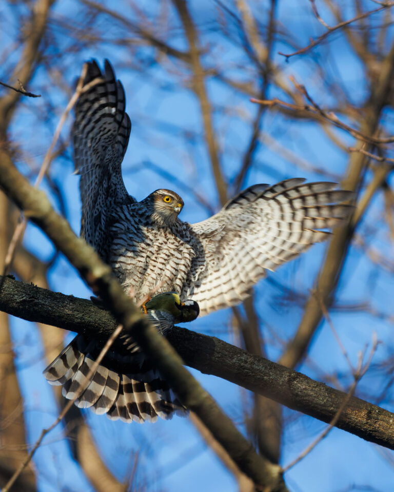
Accipiter nisus
♥
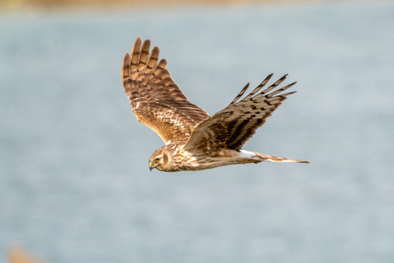
Circus cyaneus
♥
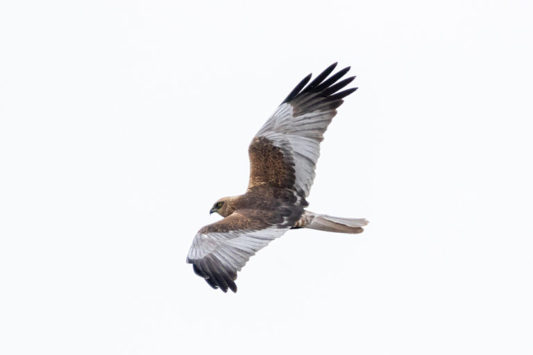
Circus aeruginosus
♥
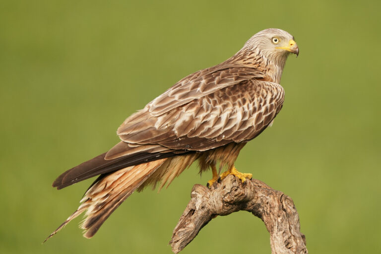
Milvus milvus
♥
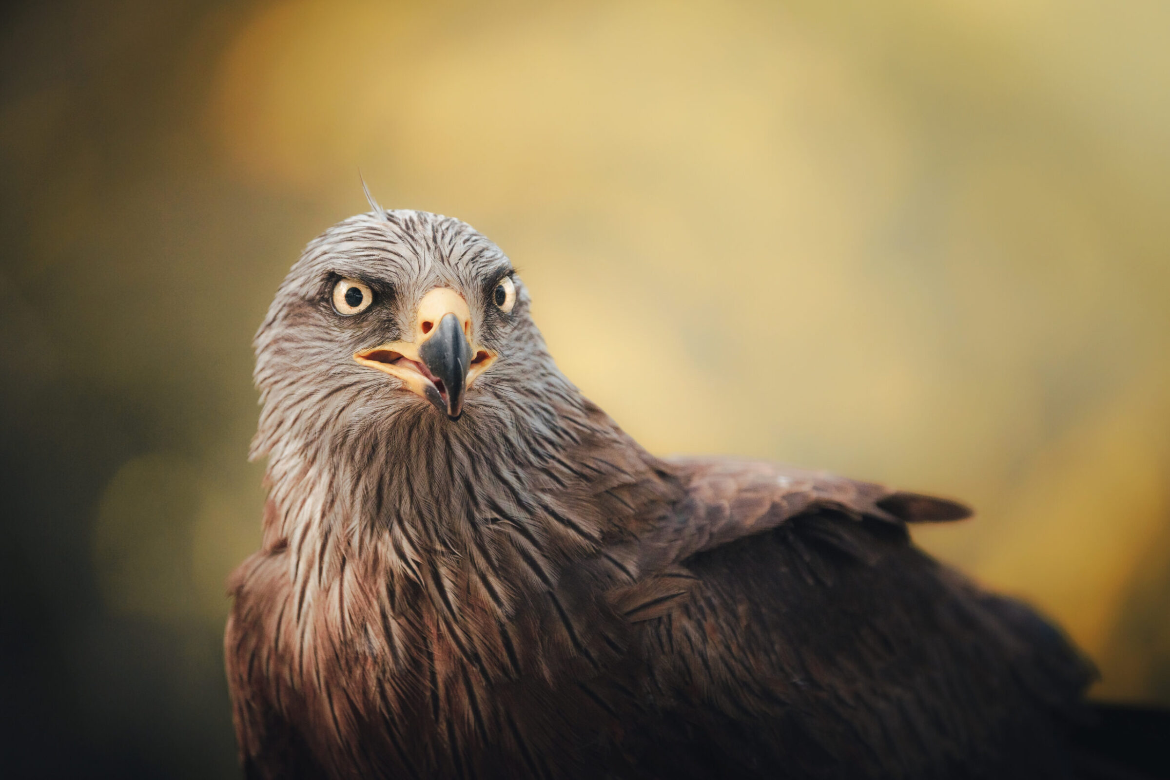
Milvus migrans
♥
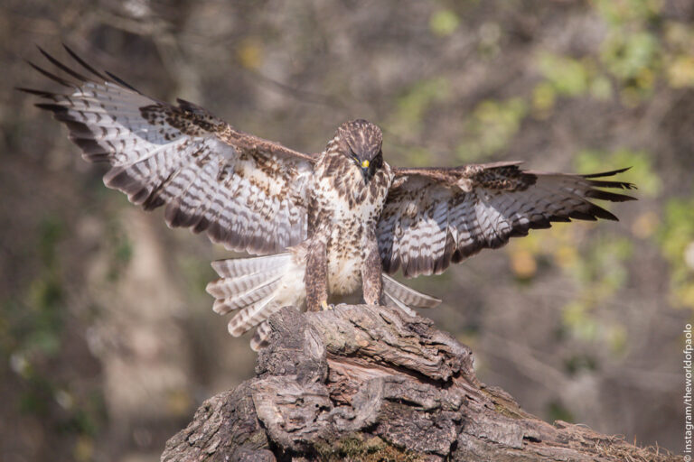
Buteo buteo
♥
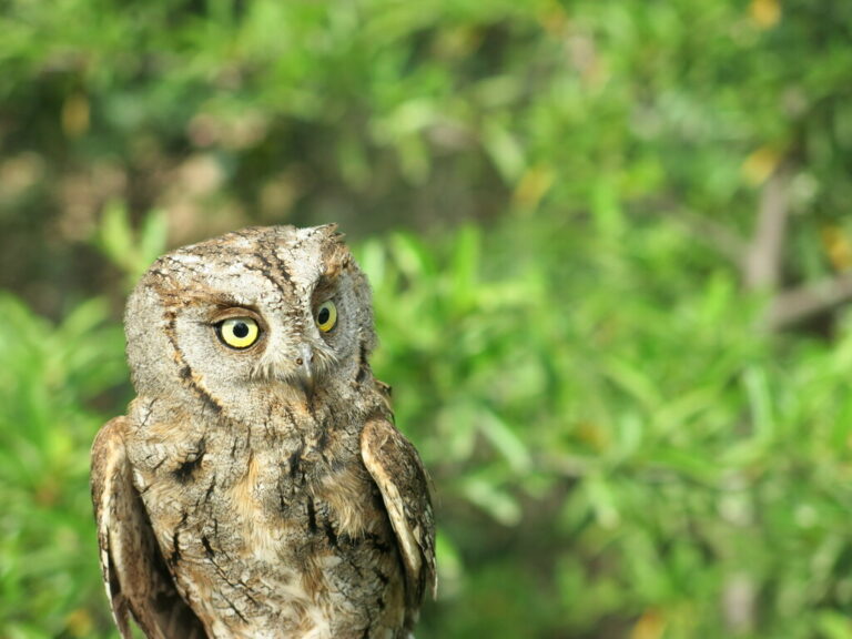
Otus scops
♥
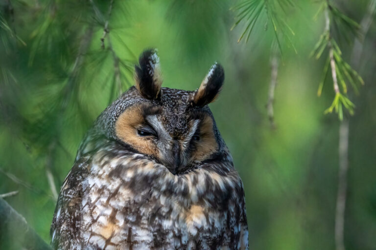
Asio otus
♥
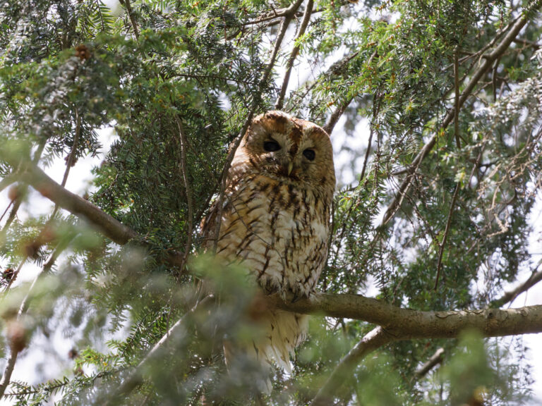
Strix aluco
♥
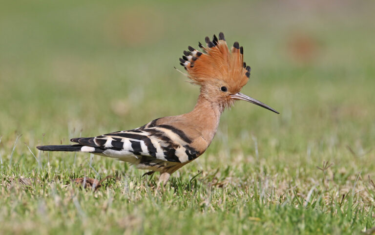
Upupa epops
♥
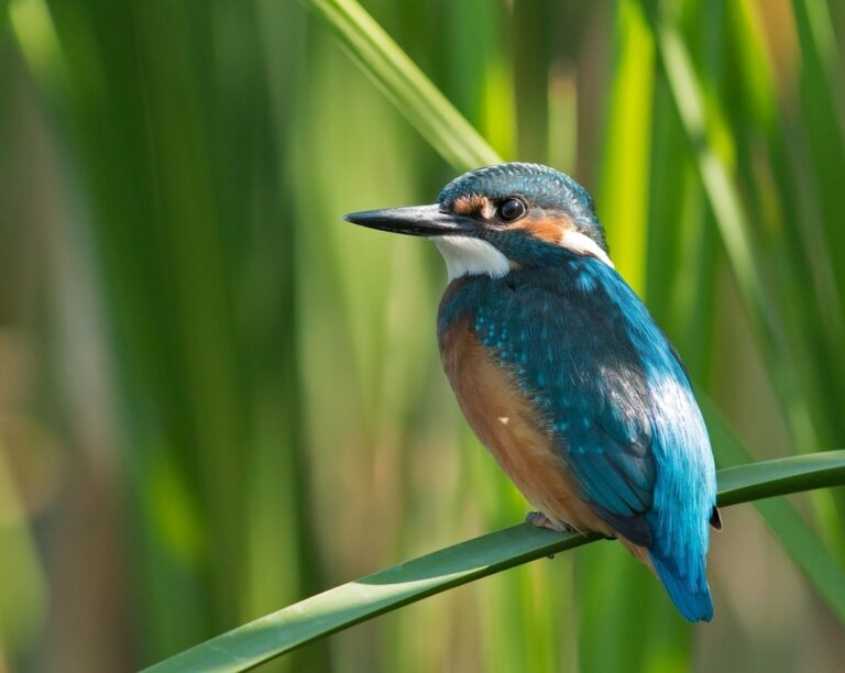
Alcedo atthis
♥
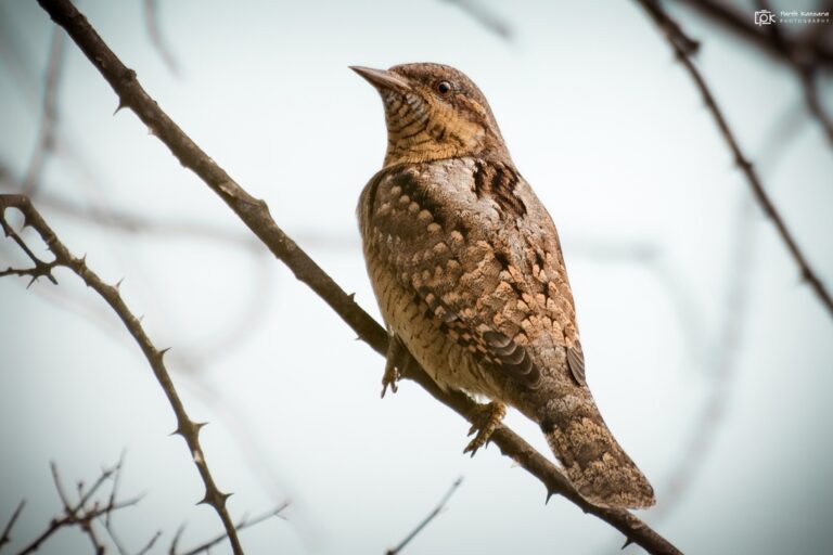
Jynx torquilla
♥
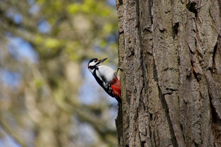
Dendrocopos major
♥
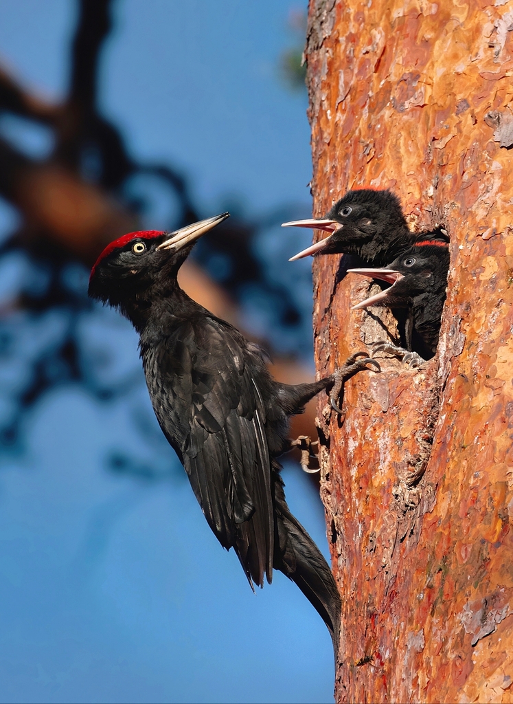
Dryocopus martius
♥
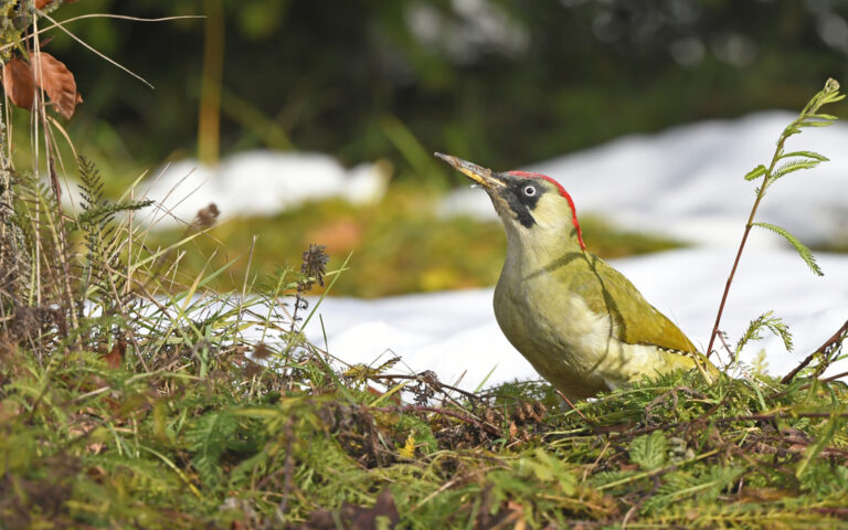
Picus viridis
♥
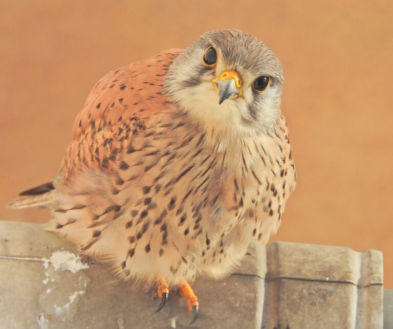
Falco tinnunculus
♥
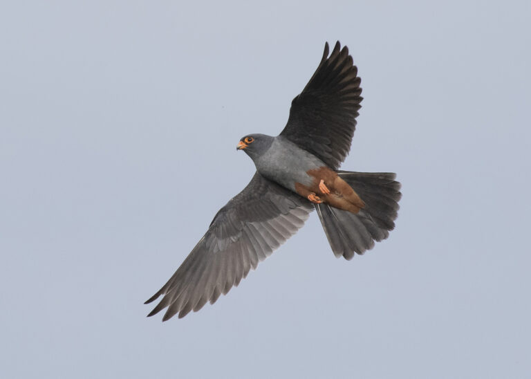
Falco vespertinus
♥
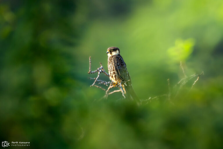
Falco subbuteo
♥
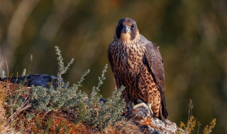
Falco peregrinus
♥
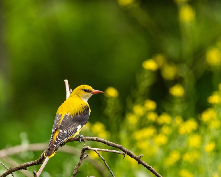
Oriolus oriolus
♥
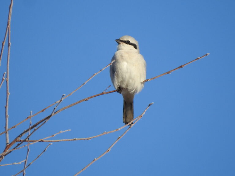
Lanius excubitor
♥
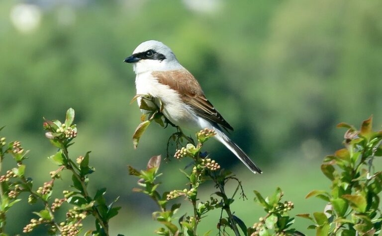
Lanius collurio
♥
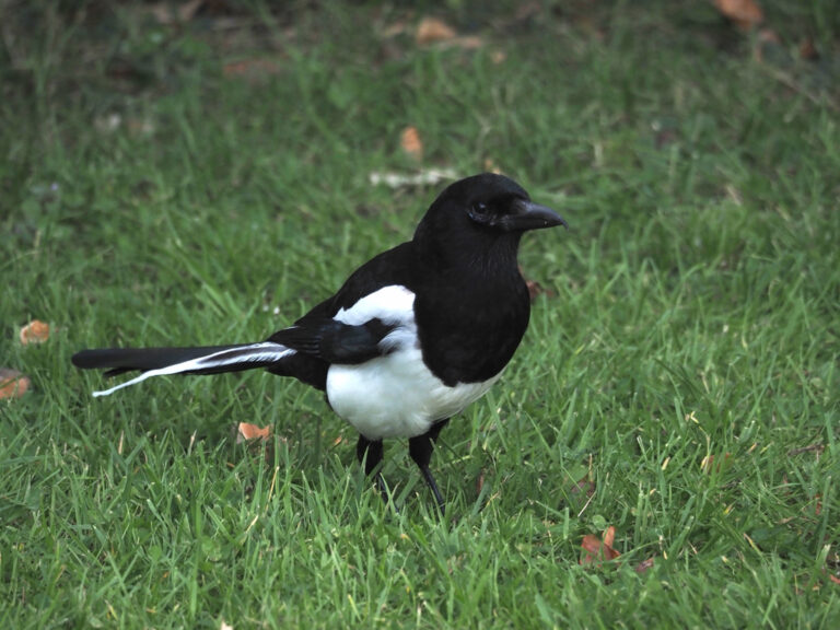
Pica pica
♥
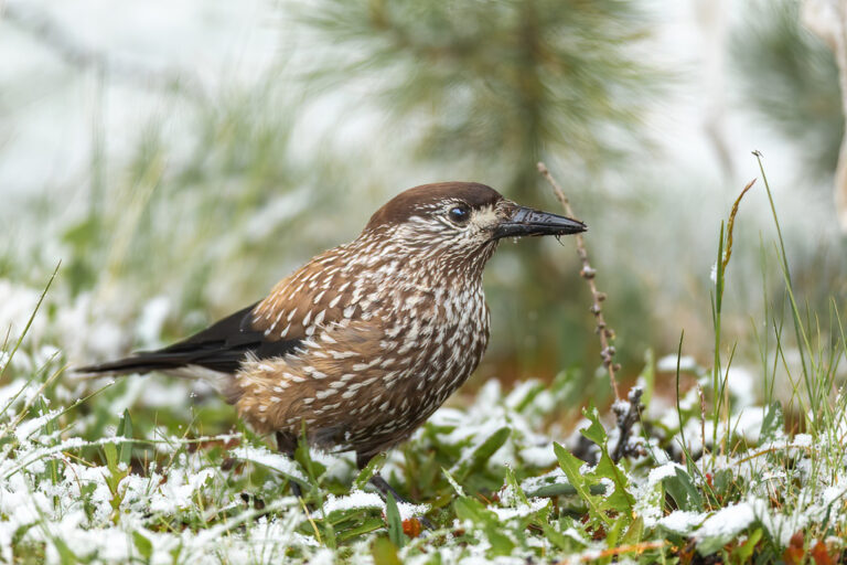
Nucifraga caryocatactes
♥
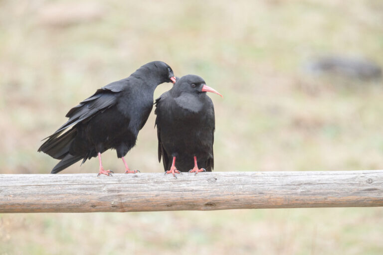
Pyrrhocorax pyrrhocorax
♥
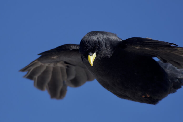
Pyrrhocorax graculus
♥
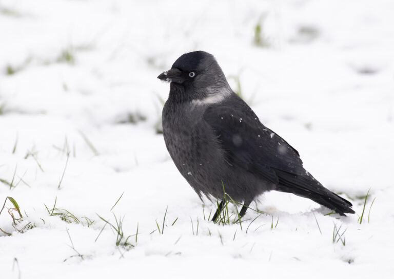
Coloeus monedula
♥
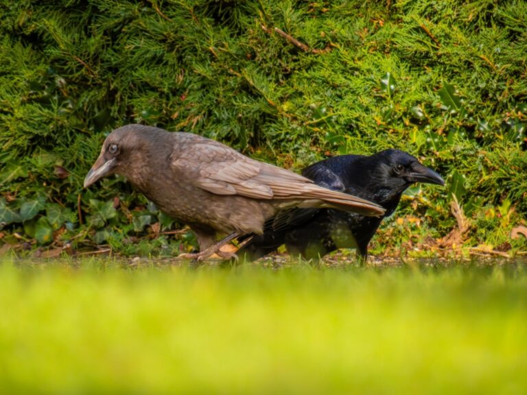
Corvus corone
♥
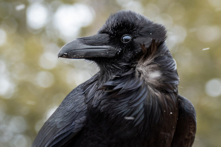
Corvus corax
♥
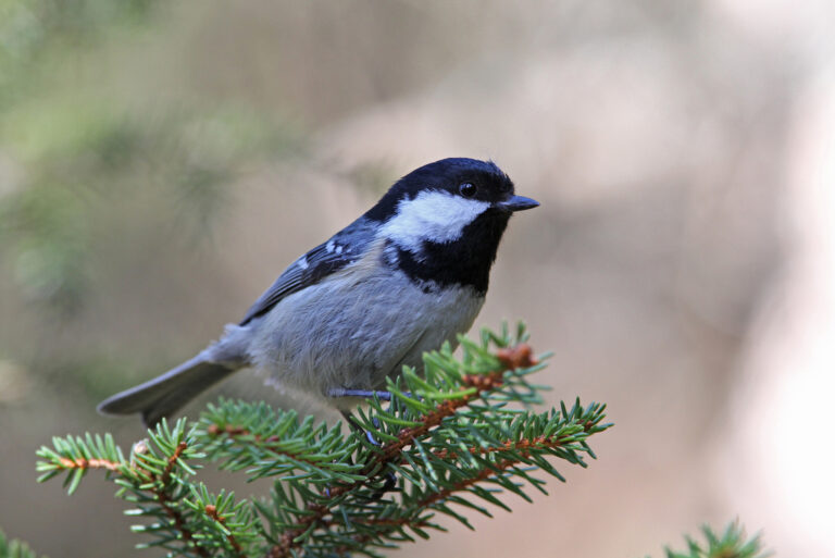
Periparus ater
♥
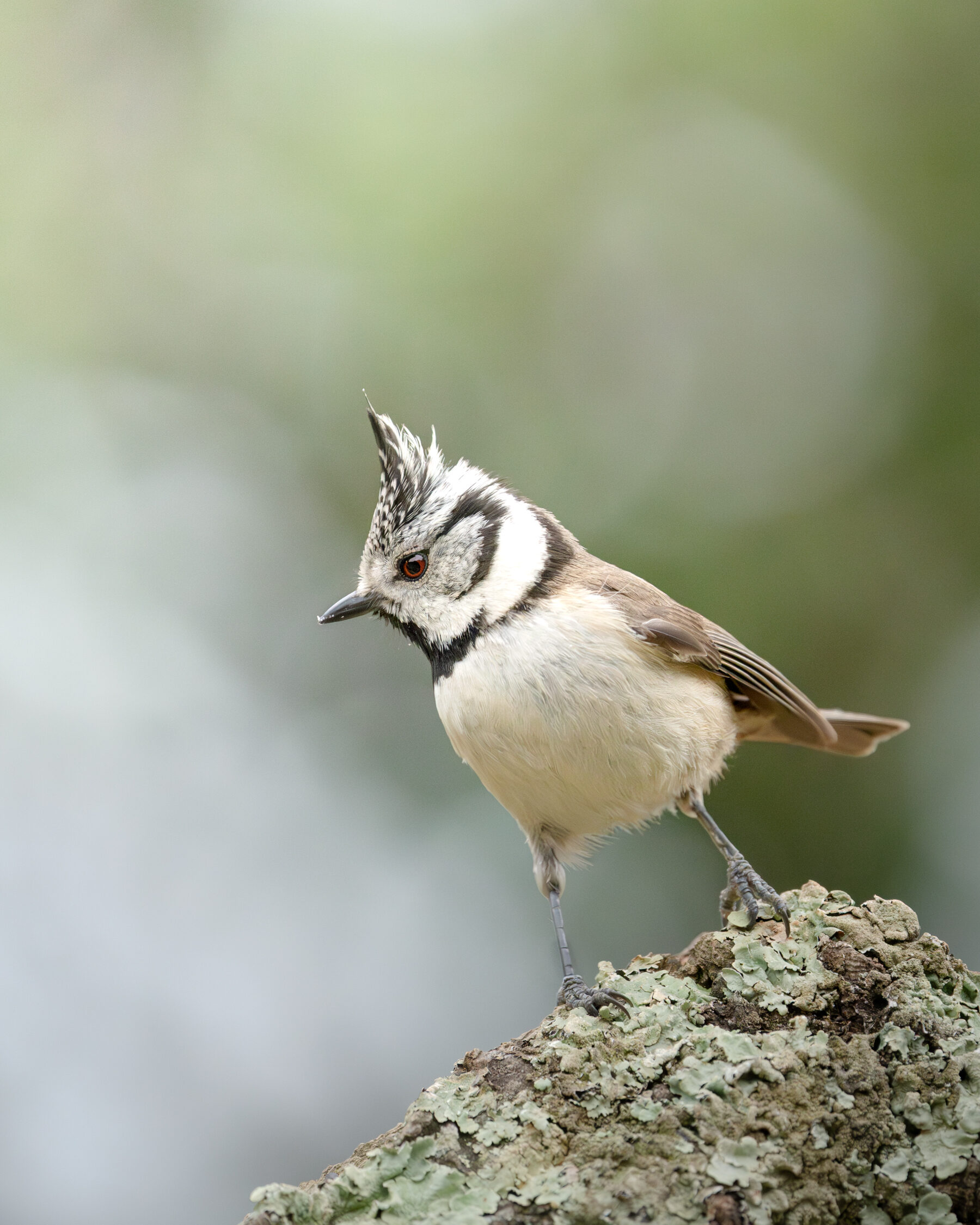
Lophophanes cristatus
♥
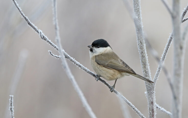
Poecile palustris
♥
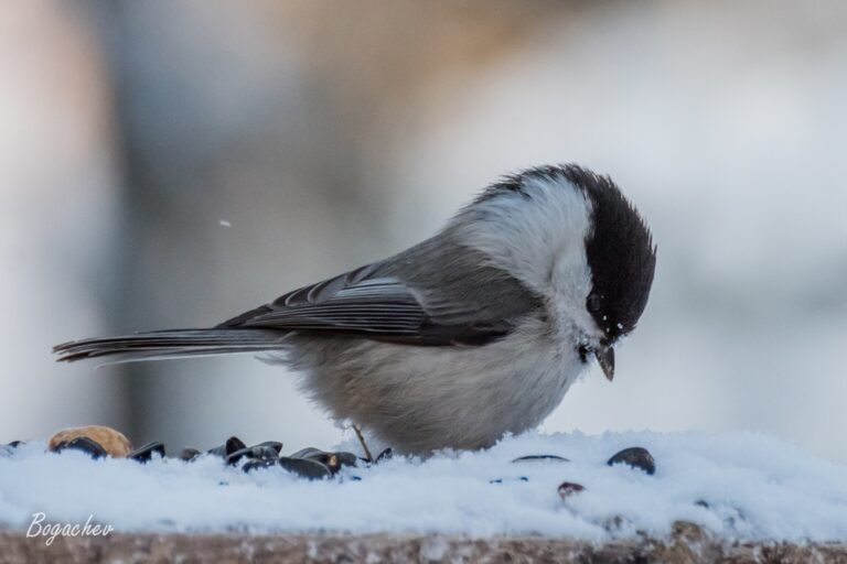
Poecile montanus
♥
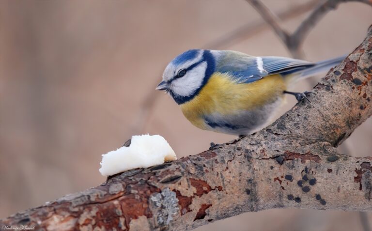
Cyanistes caeruleus
♥
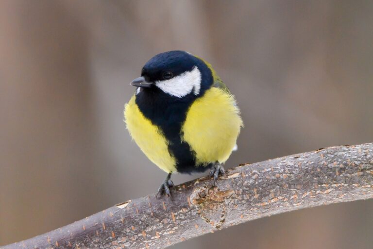
Parus major
♥
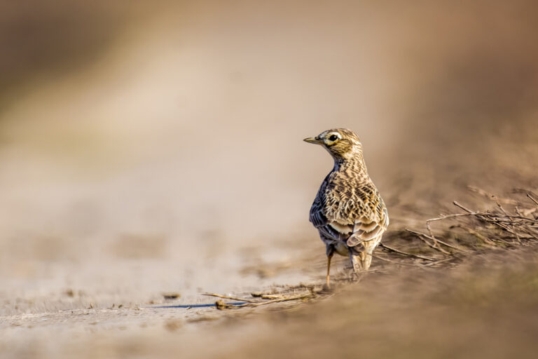
Alauda arvensis
♥
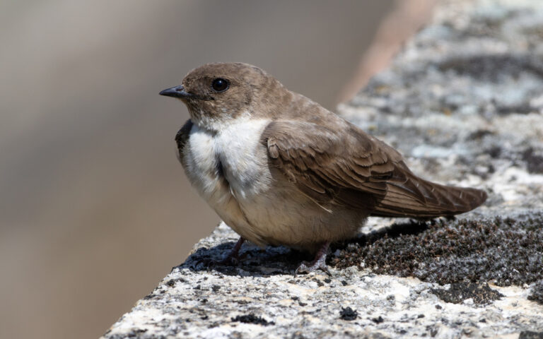
Ptyonoprogne rupestris
♥
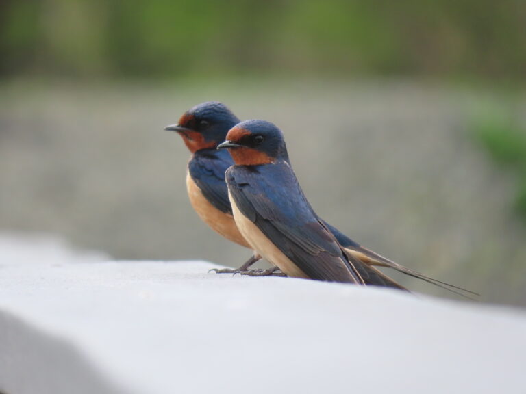
Hirundo rustica
♥
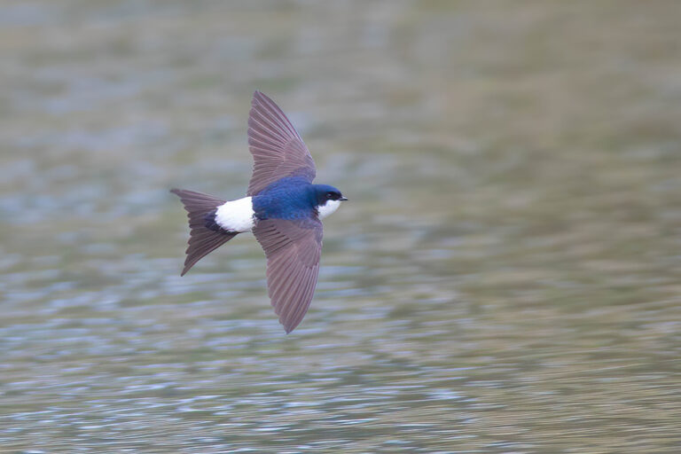
Delichon urbicum
♥
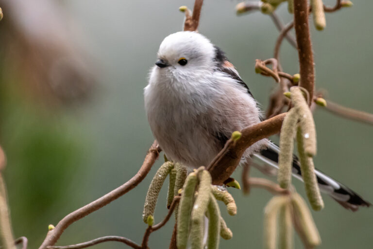
Aegithalos caudatus
♥
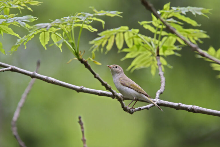
Phylloscopus bonelli
♥
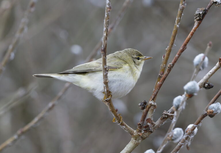
Phylloscopus trochilus
♥
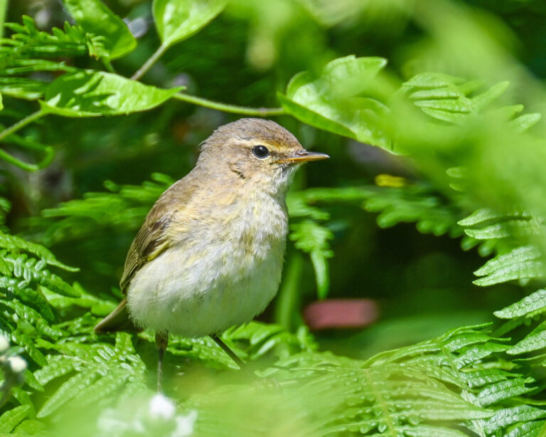
Phylloscopus collybita
♥
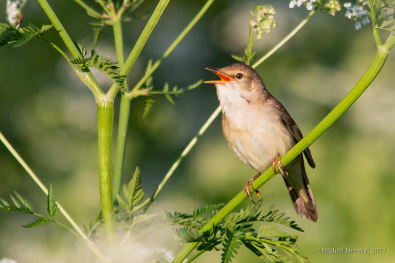
Acrocephalus palustris
♥
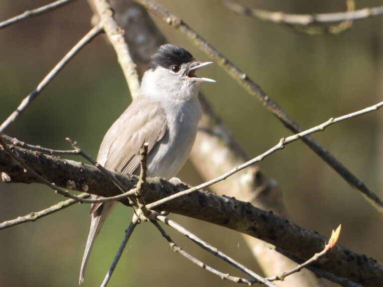
Sylvia atricapilla
♥
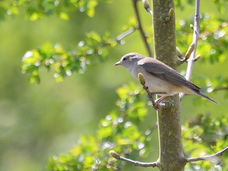
Sylvia borin
♥
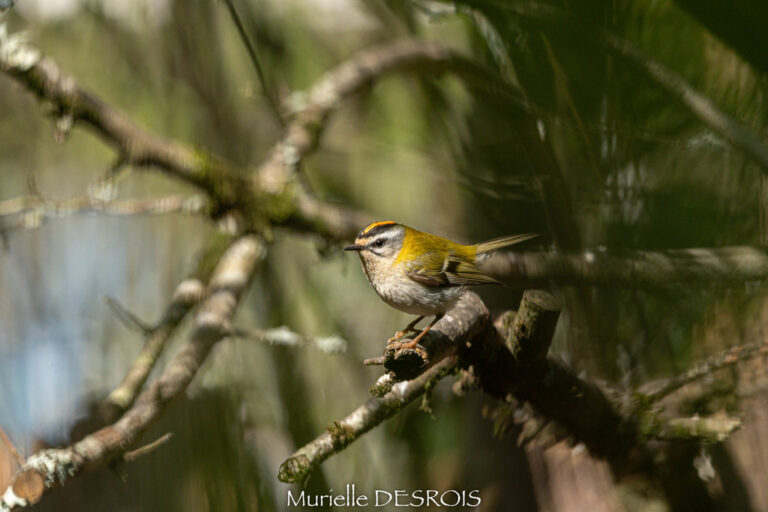
Regulus ignicapilla
♥
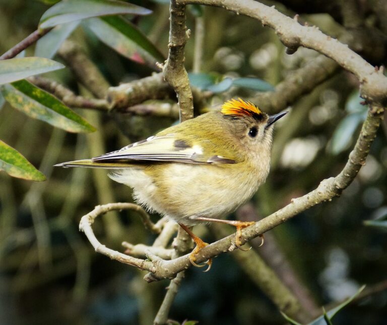
Regulus regulus
♥
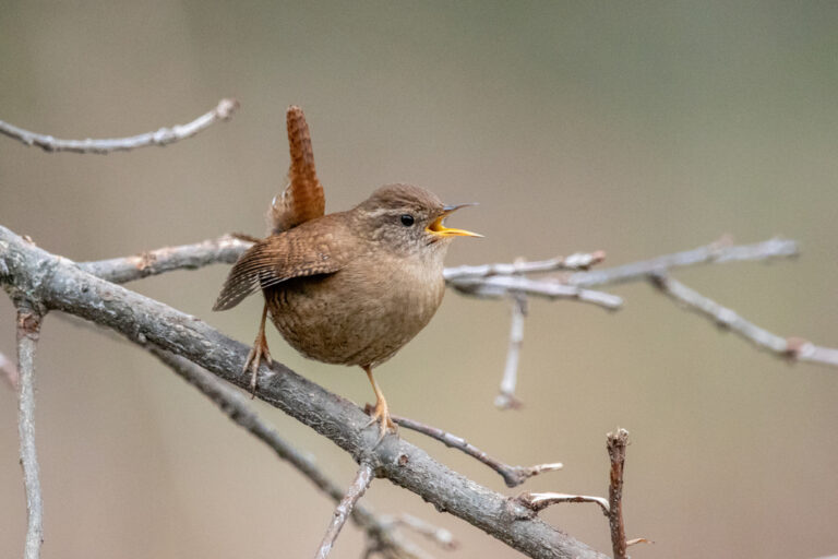
Troglodytes troglodytes
♥
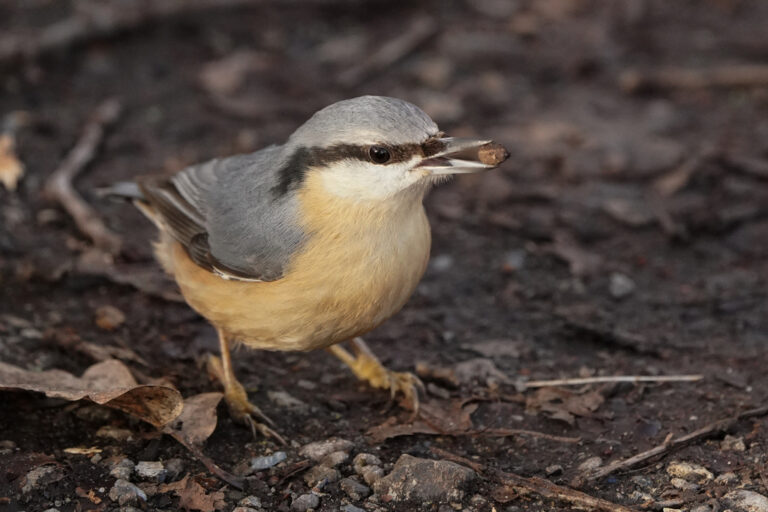
Sitta europaea
♥
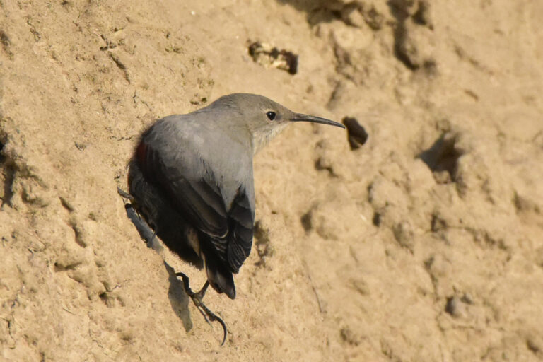
Tichodroma muraria
♥
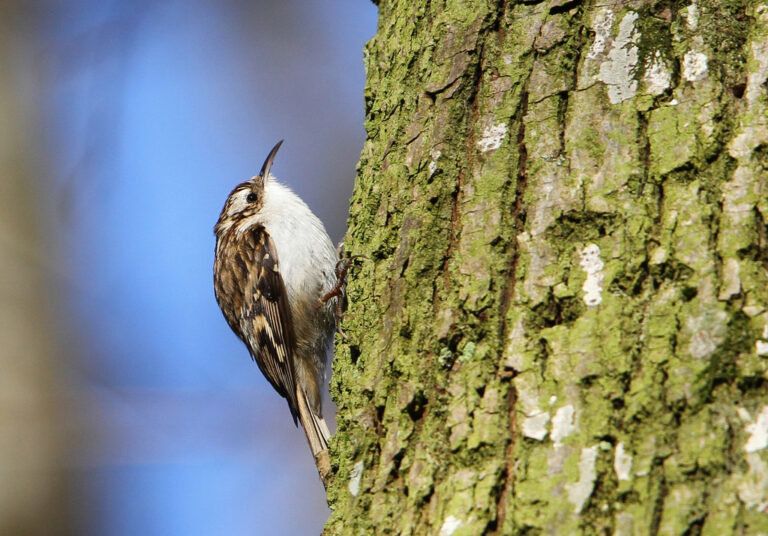
Certhia familiaris
♥
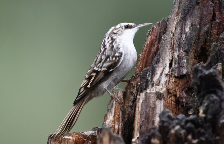
Certhia brachydactyla
♥
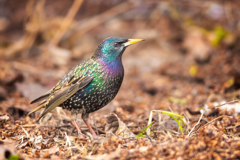
Sturnus vulgaris
♥
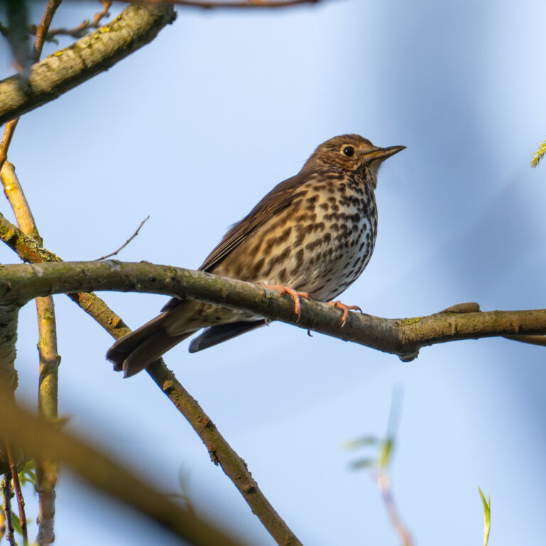
Turdus philomelos
♥
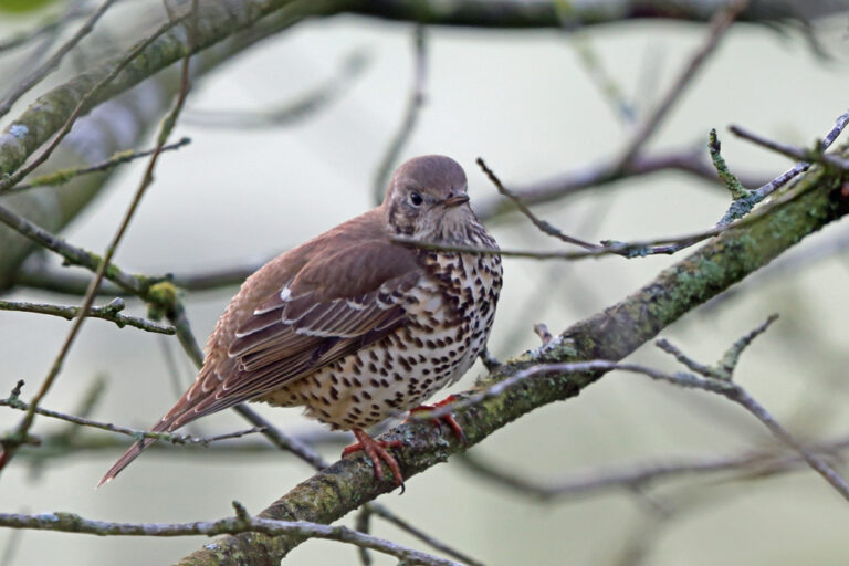
Turdus viscivorus
♥
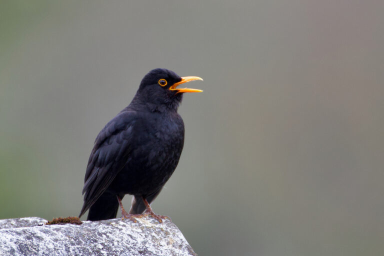
Turdus merula
♥
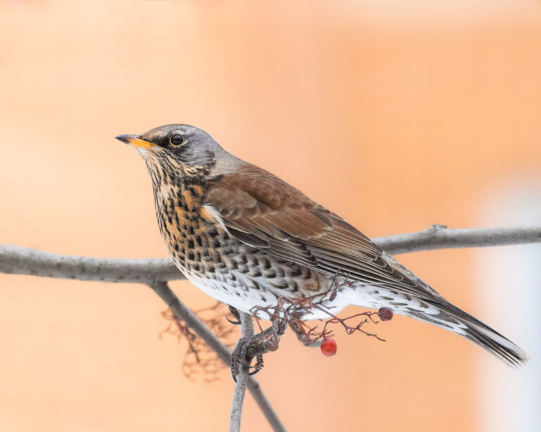
Turdus pilaris
♥
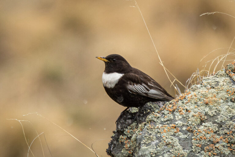
Turdus torquatus
♥
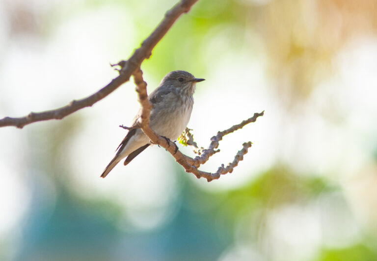
Muscicapa striata
♥
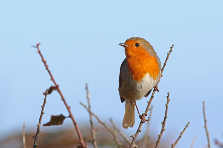
Erithacus rubecula
♥
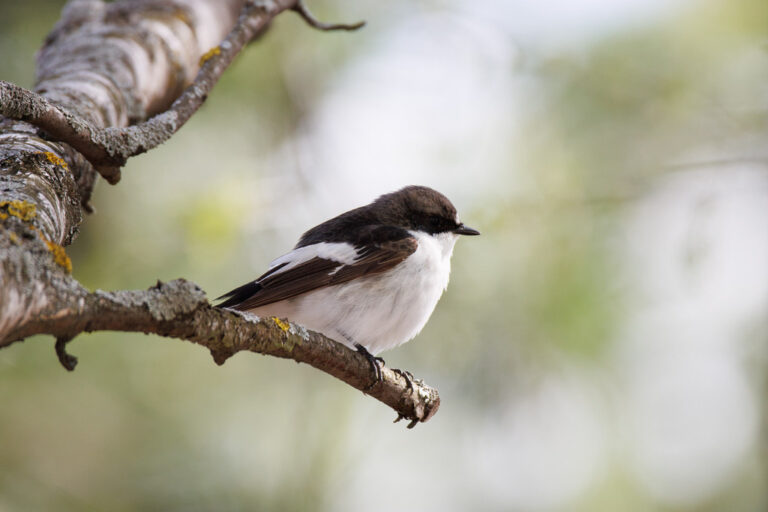
Ficedula hypoleuca
♥
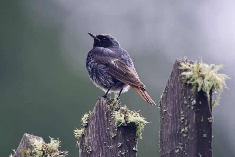
Phoenicurus ochruros
♥
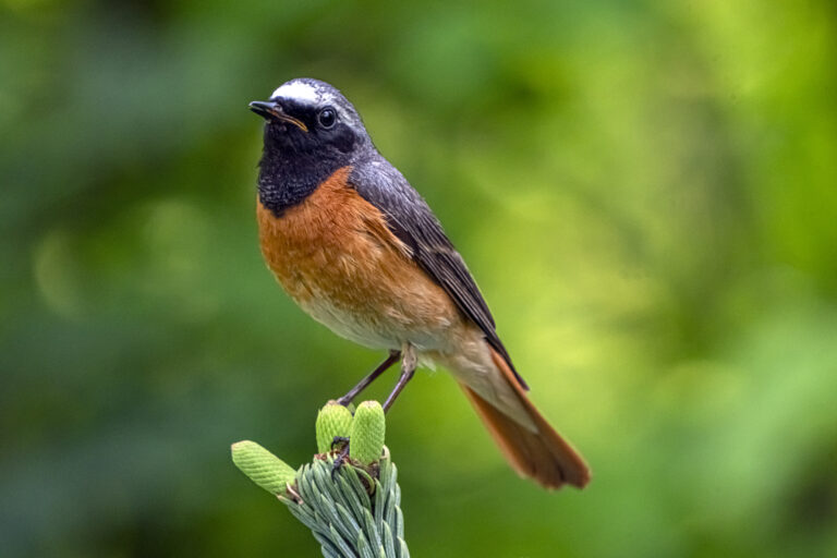
Phoenicurus phoenicurus
♥
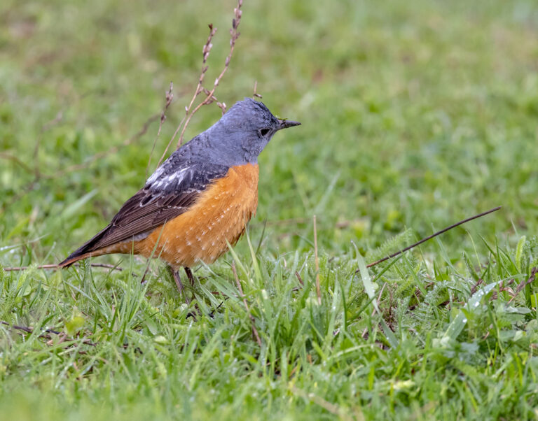
Monticola saxatilis
♥
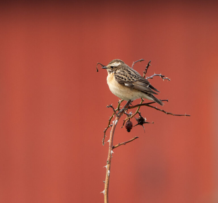
Saxicola rubetra
♥
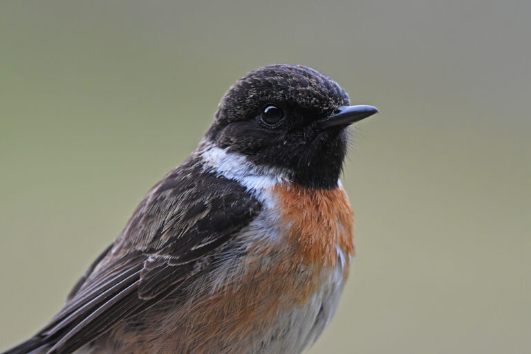
Saxicola rubicola
♥
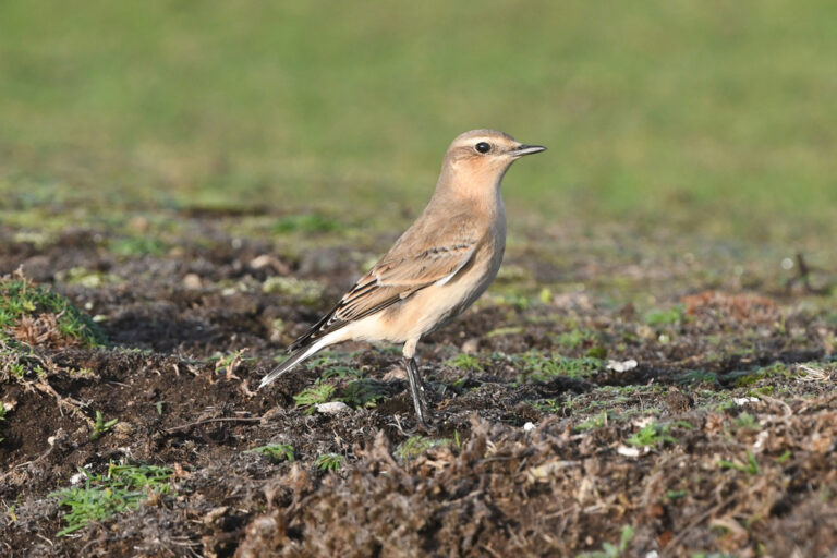
Oenanthe oenanthe
♥
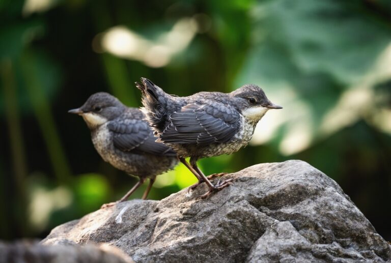
Cinclus cinclus
♥
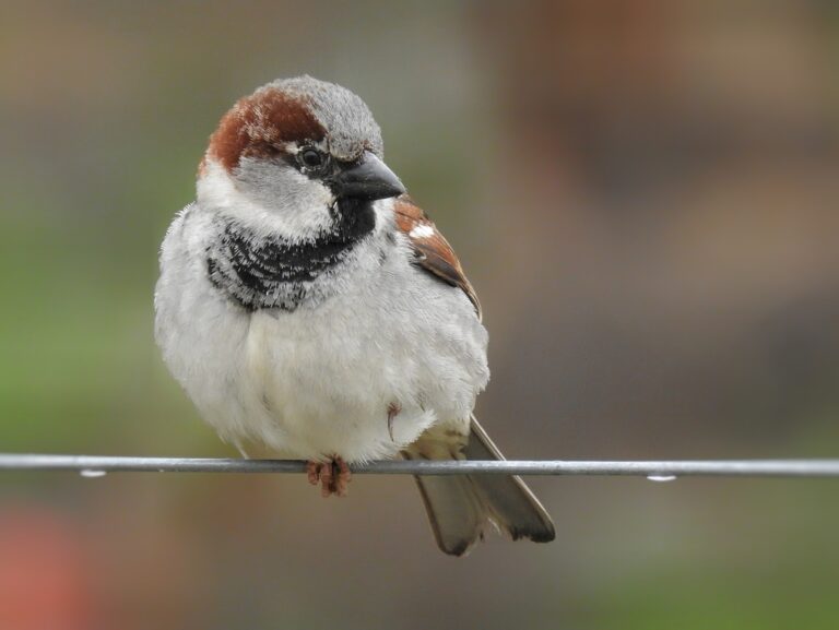
Passer domesticus
♥
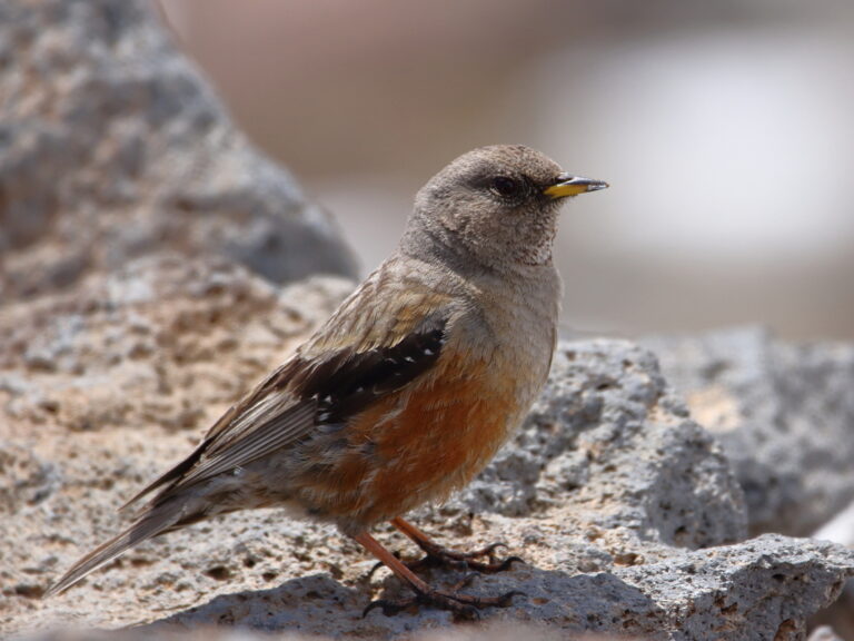
Prunella collaris
♥
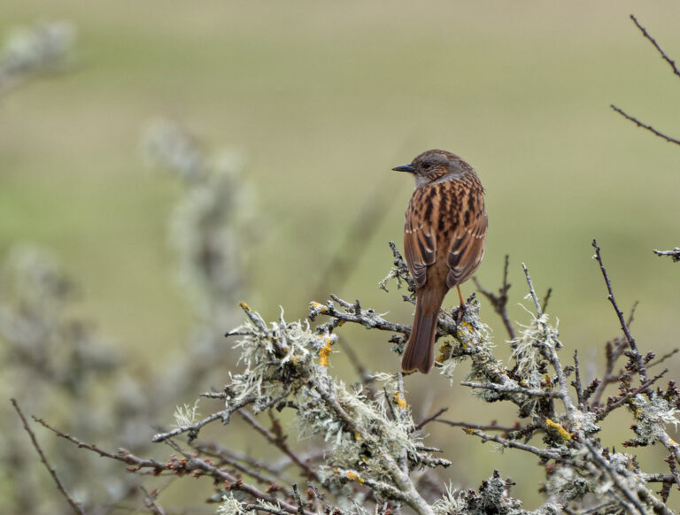
Prunella modularis
♥
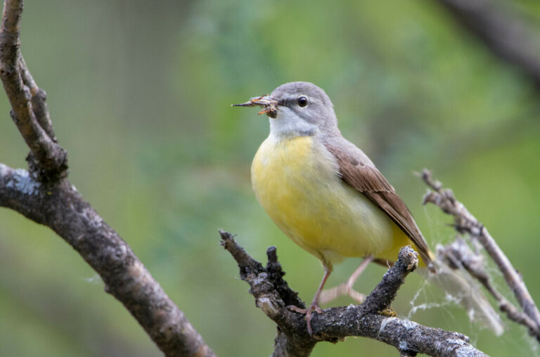
Motacilla cinerea
♥
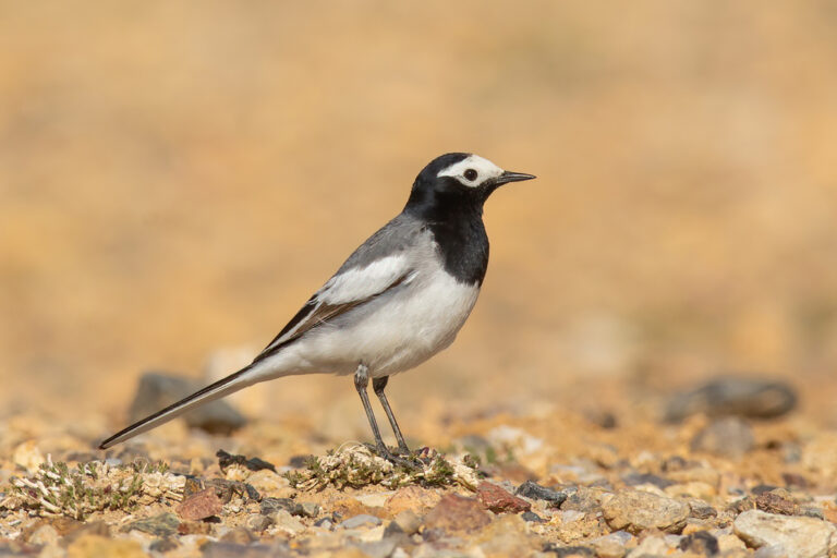
Motacilla alba
♥
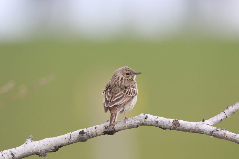
Anthus trivialis
♥
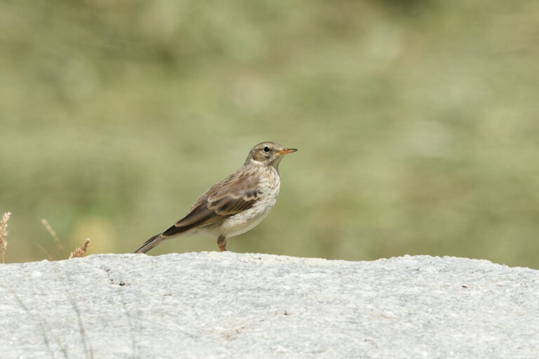
Anthus spinoletta
♥
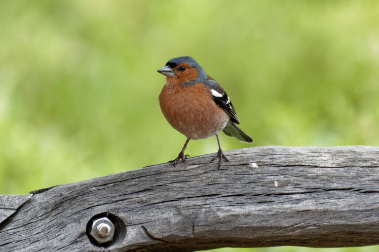
Fringilla coelebs
♥
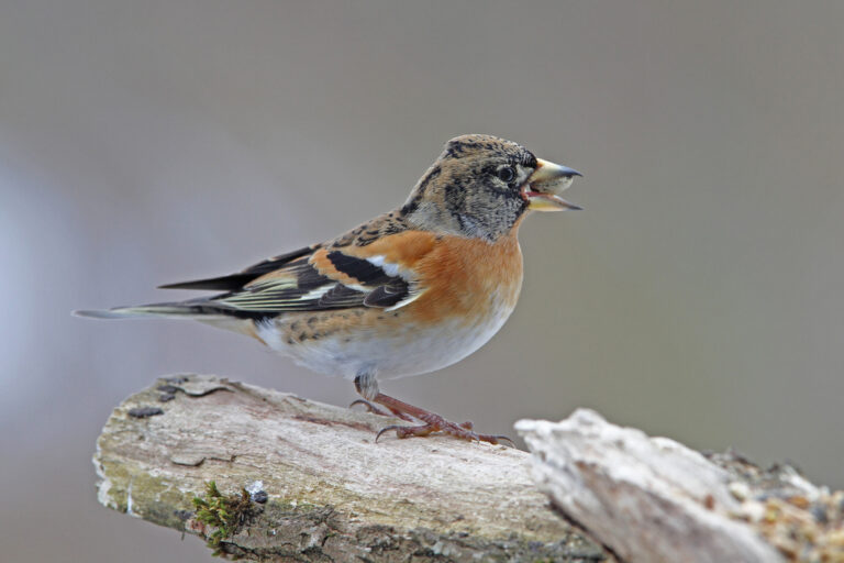
Fringilla montifringilla
♥
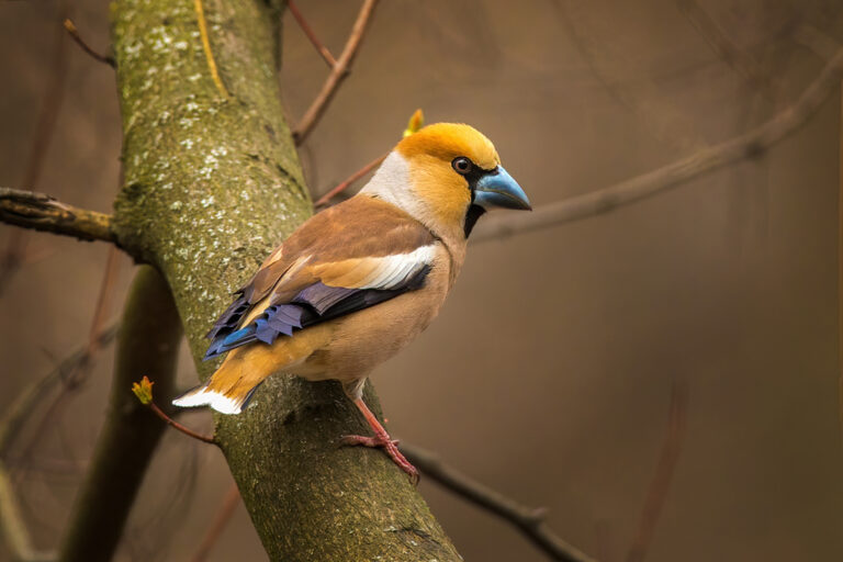
Coccothraustes coccothraustes
♥
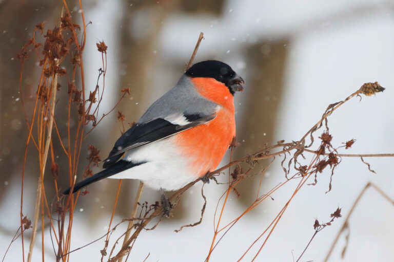
Pyrrhula pyrrhula
♥
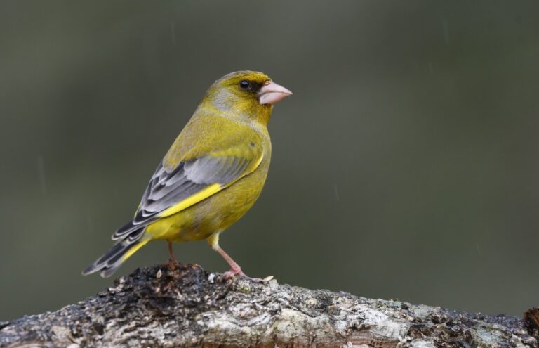
Chloris chloris
♥
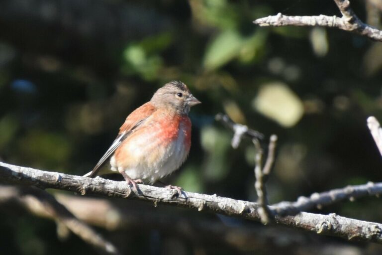
Linaria cannabina
♥
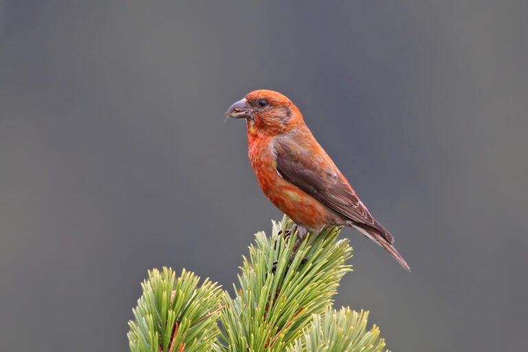
Loxia curvirostra
♥
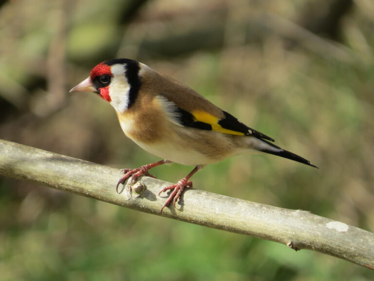
Carduelis carduelis
♥
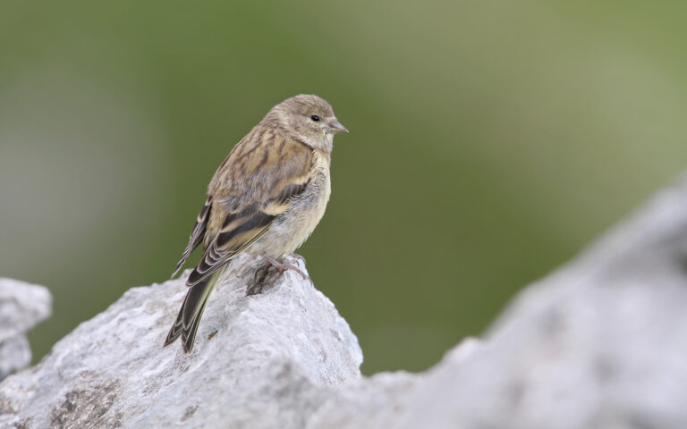
Carduelis citrinella
♥
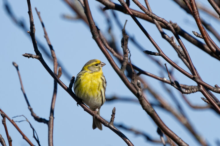
Serinus serinus
♥
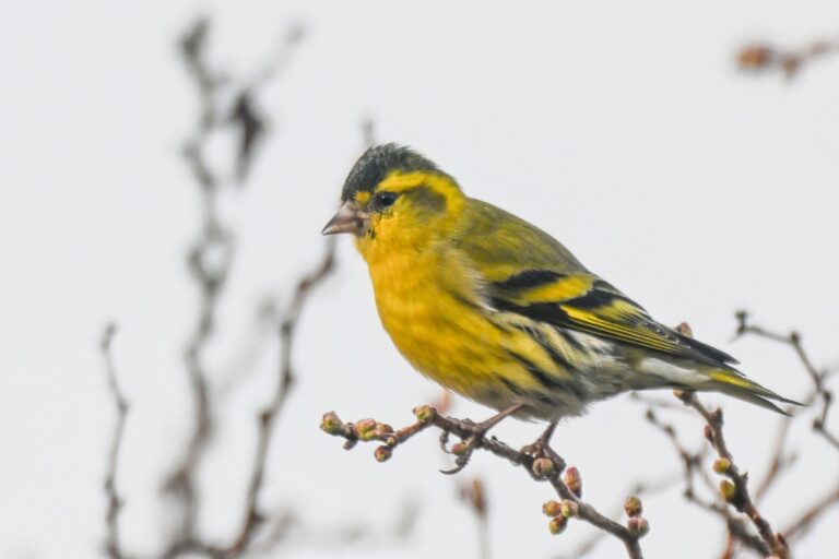
Spinus spinus
♥
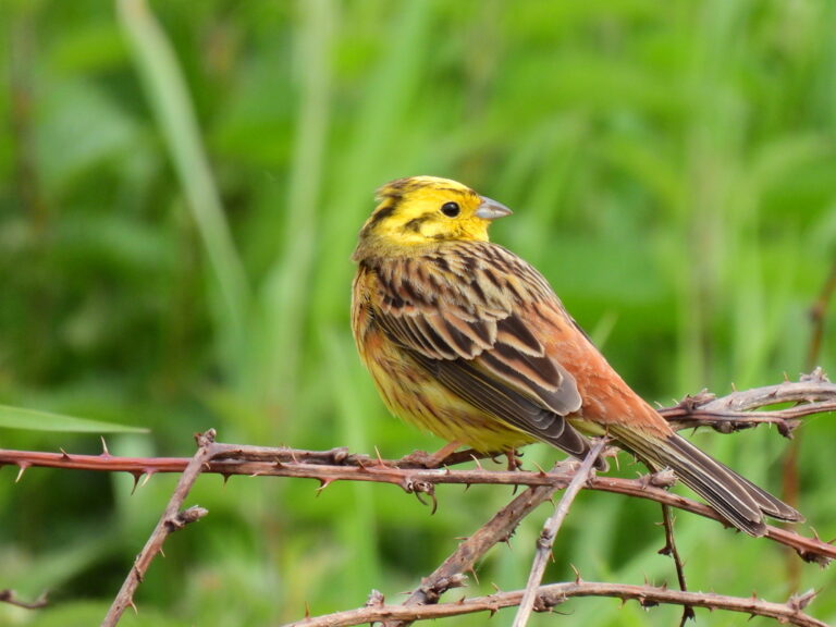
Emberiza citrinella
♥
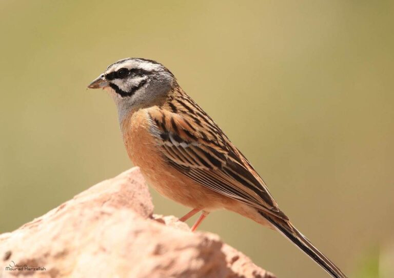
Emberiza cia
♥
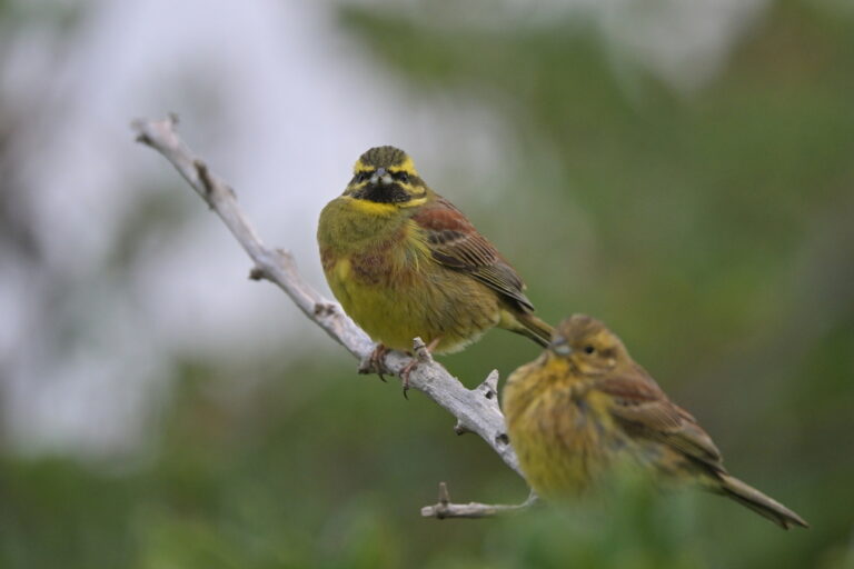
Emberiza cirlus
♥
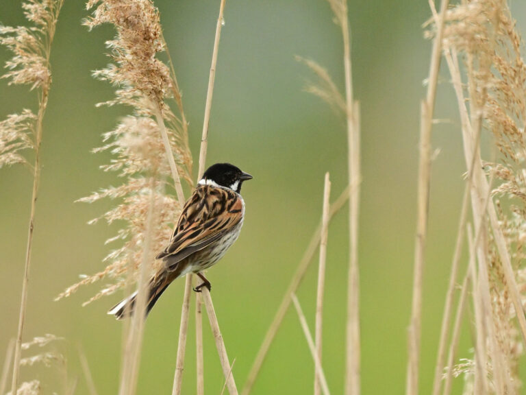
Emberiza schoeniclus
♥
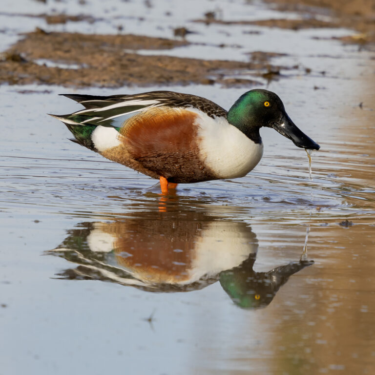
Spatula clypeata
♥
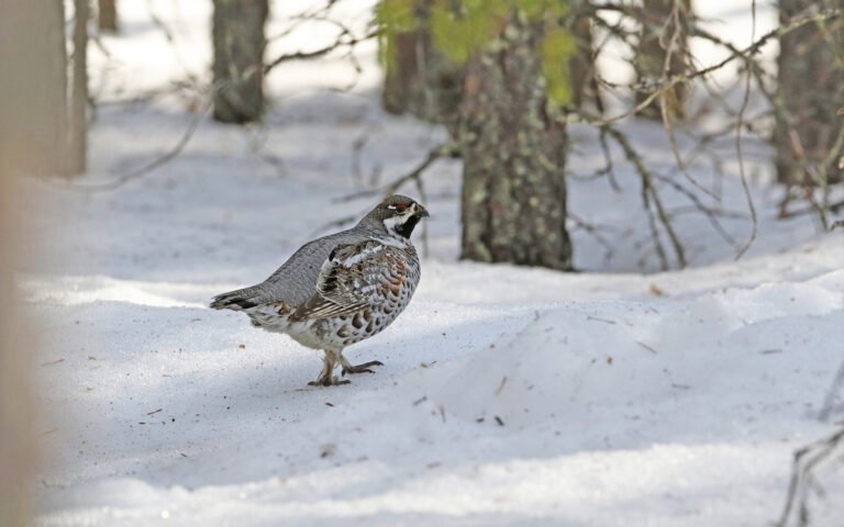
Tetrastes bonasia
♥
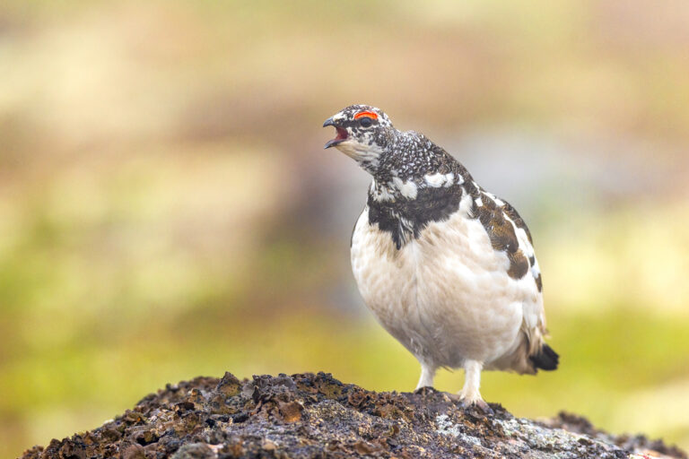
Lagopus muta
♥
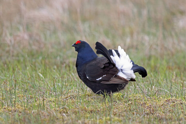
Lyrurus tetrix
♥
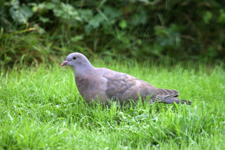
Columba oenas
♥
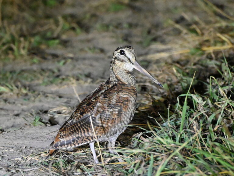
Scolopax rusticola
♥
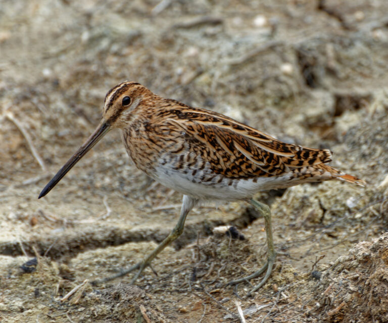
Gallinago gallinago
♥
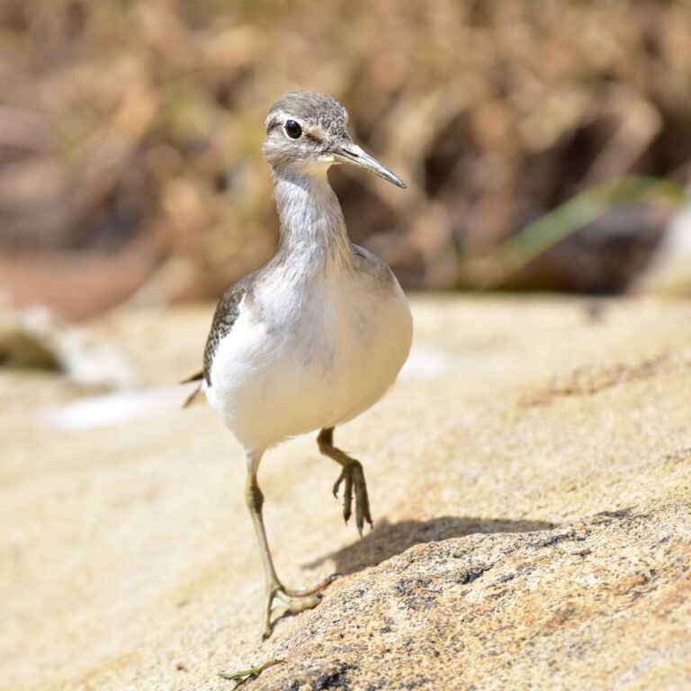
Actitis hypoleucos
♥
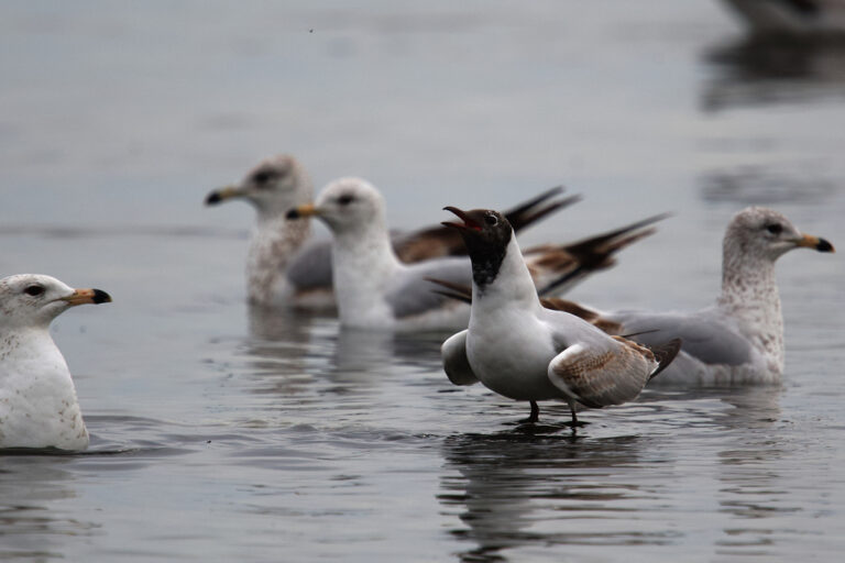
Chroicocephalus ridibundus
♥
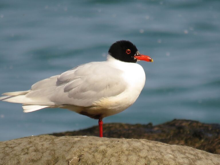
Ichthyaetus melanocephalus
♥
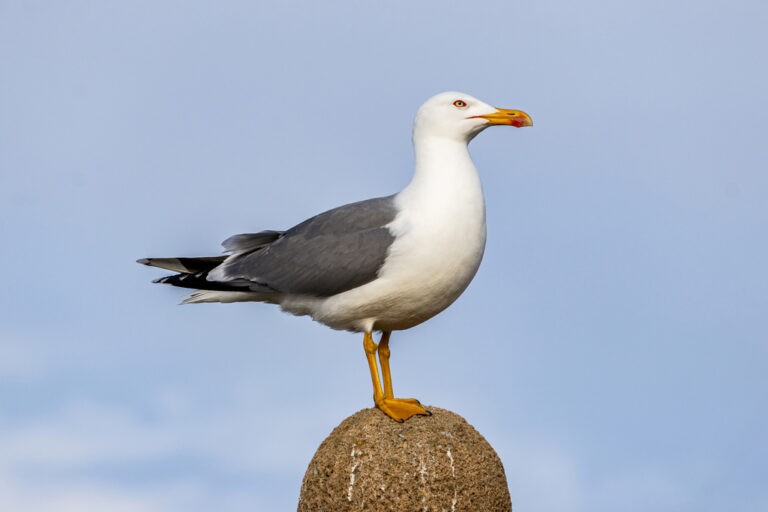
Larus michahellis
♥
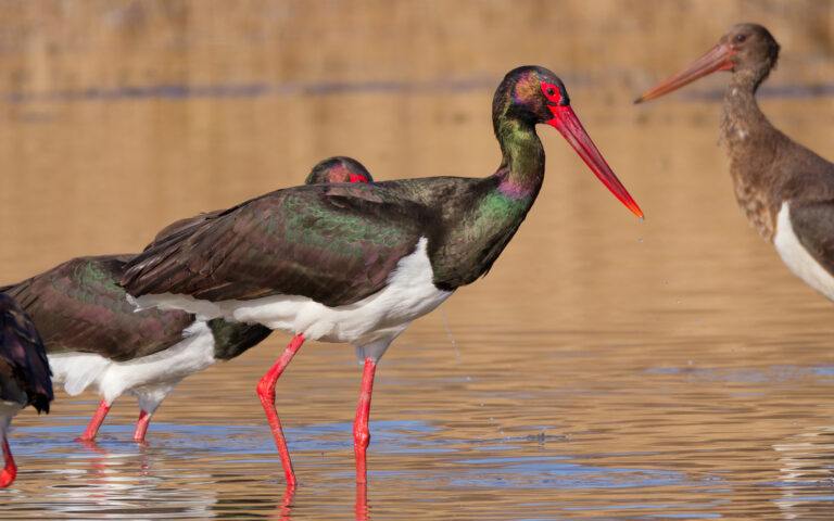
Ciconia nigra
♥
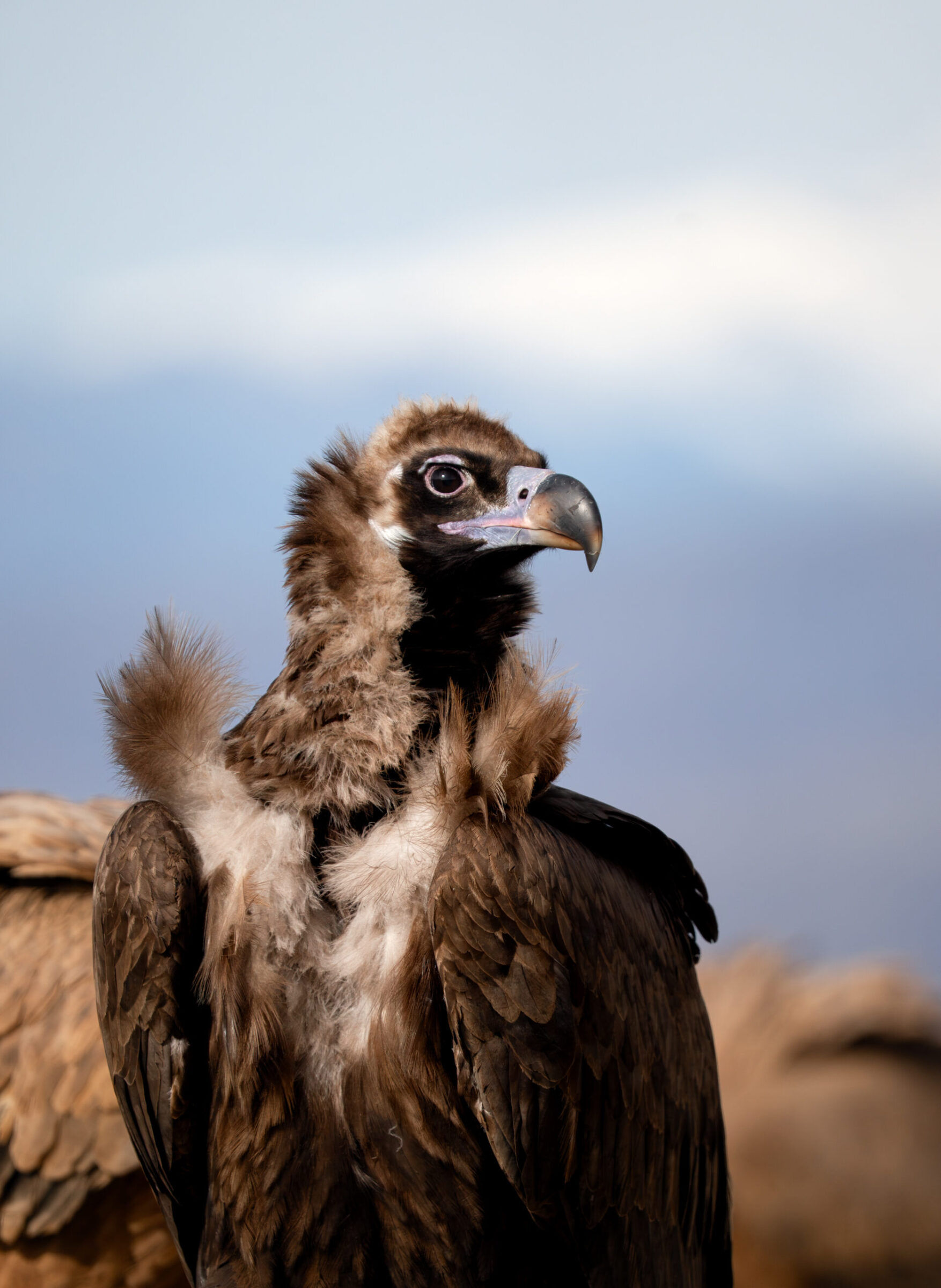
Aegypius monachus
♥
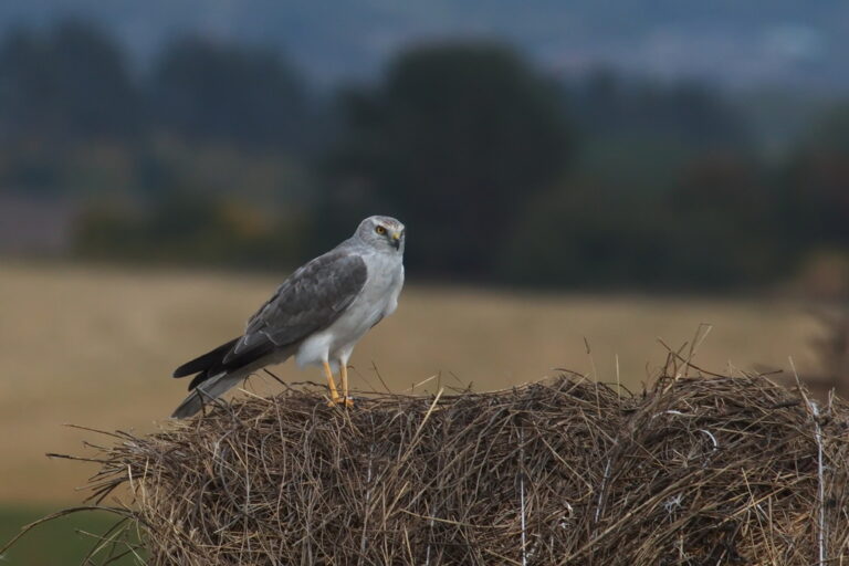
Circus macrourus
♥
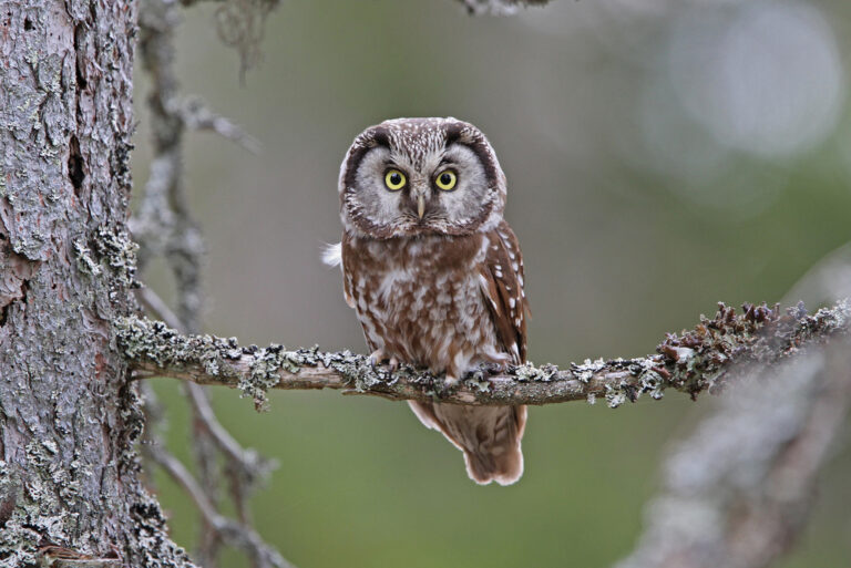
Aegolius funereus
♥
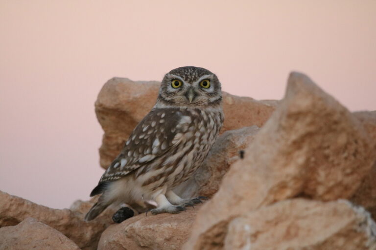
Athene noctua
♥
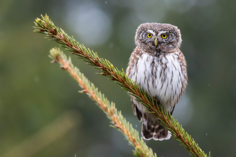
Glaucidium passerinum
♥
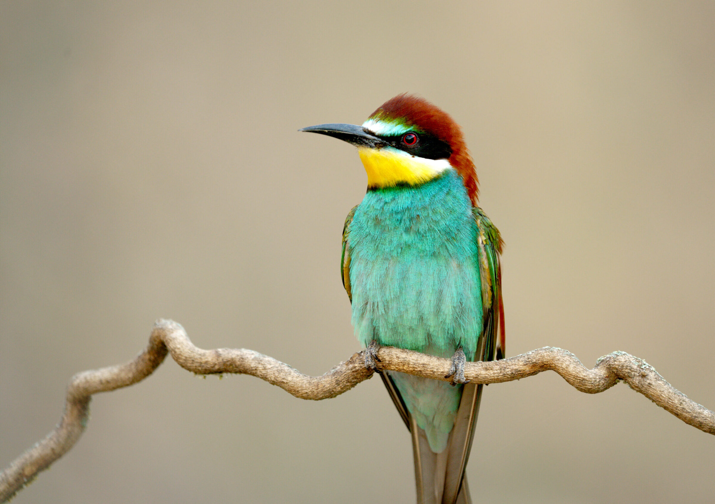
Merops apiaster
♥
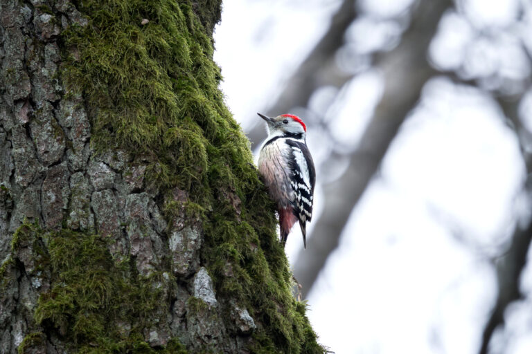
Dendrocoptes medius
♥
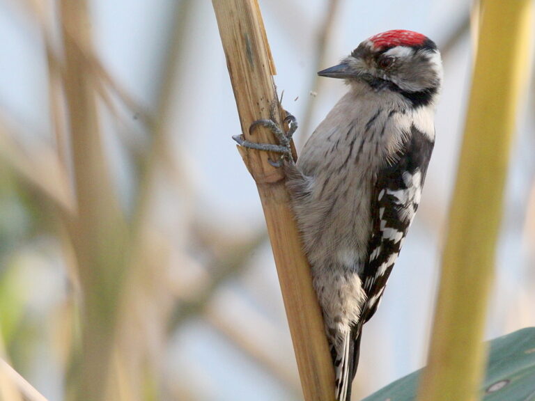
Dryobates minor
♥
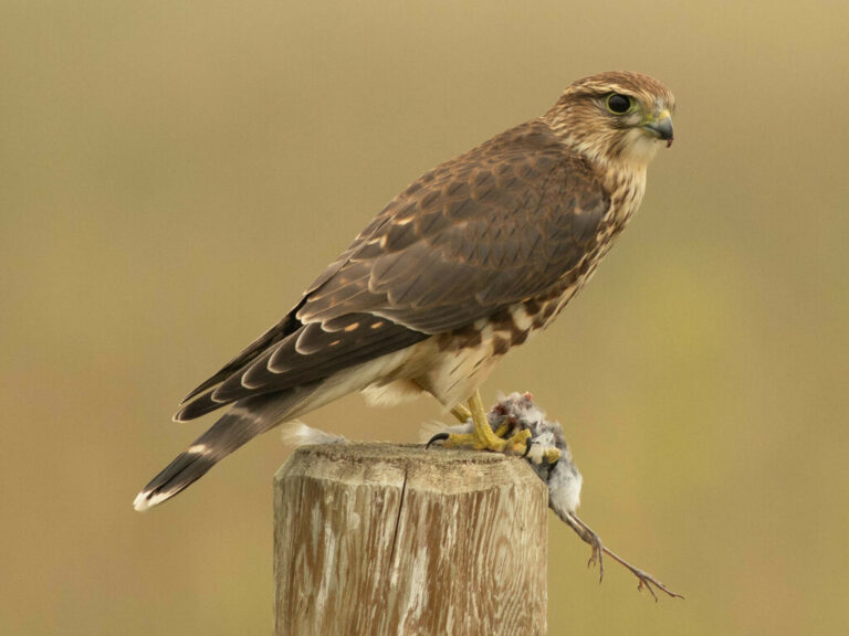
Falco columbarius
♥
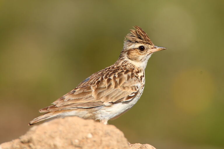
Lullula arborea
♥
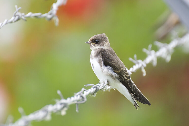
Riparia riparia
♥
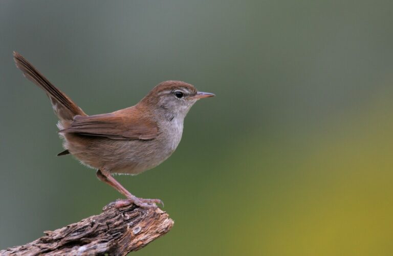
Cettia cetti
♥
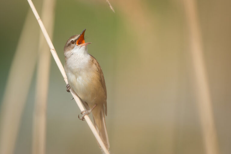
Acrocephalus arundinaceus
♥
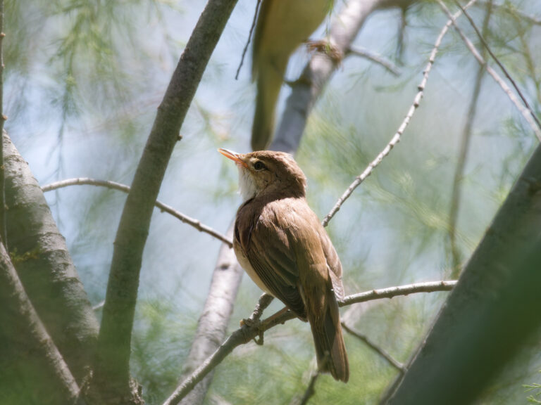
Acrocephalus scirpaceus
♥
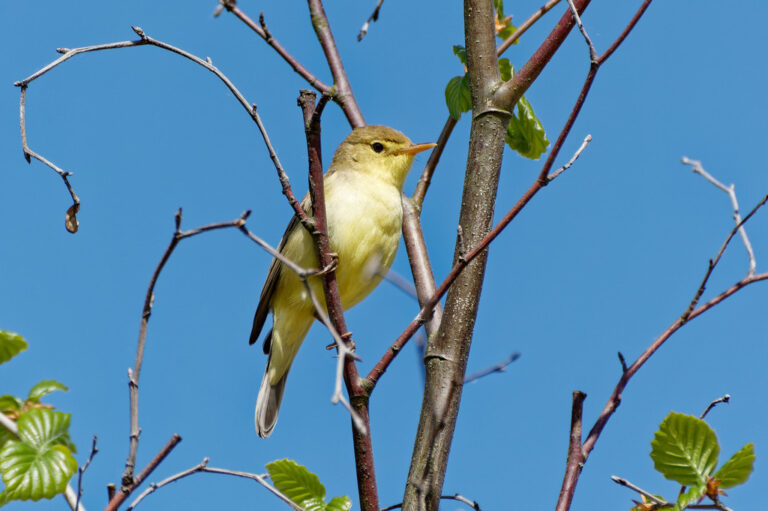
Hippolais polyglotta
♥
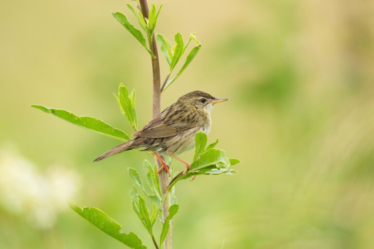
Locustella naevia
♥
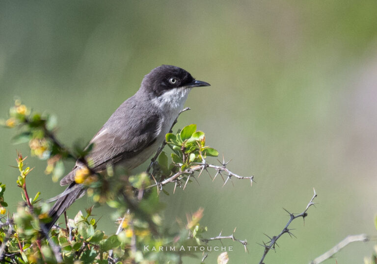
Curruca hortensis
♥
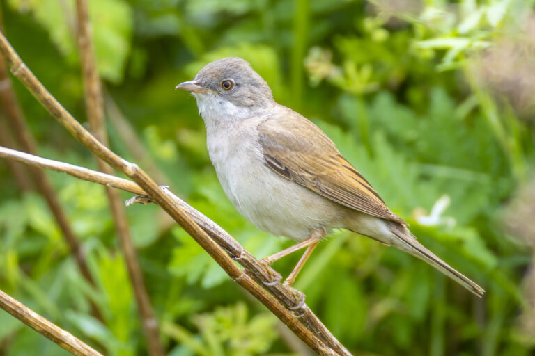
Curruca communis
♥
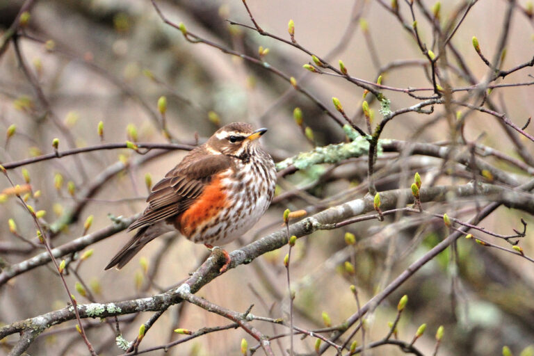
Turdus iliacus
♥
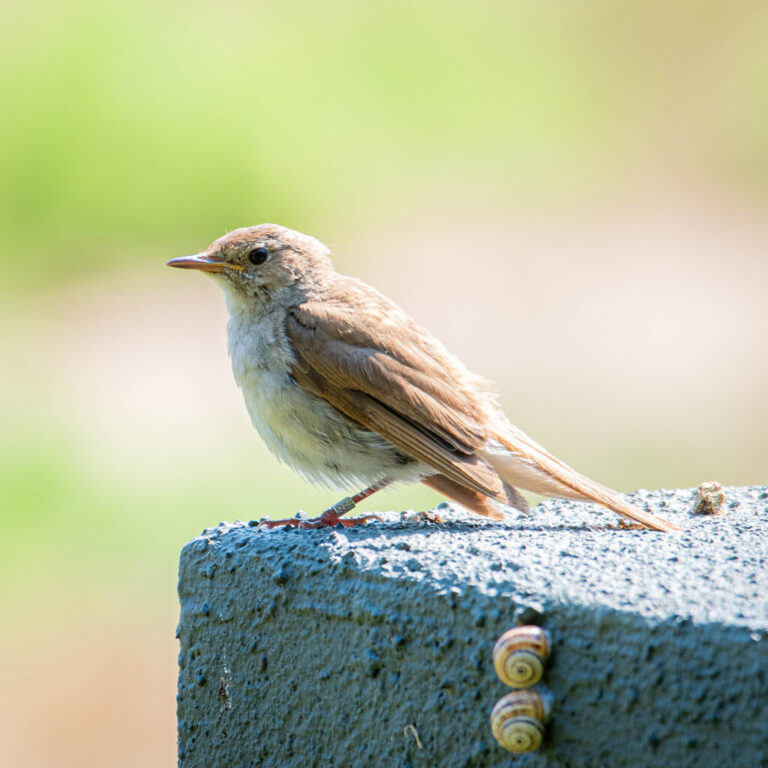
Luscinia megarhynchos
♥
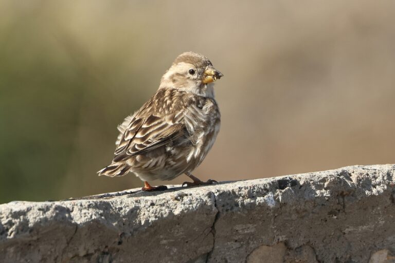
Petronia petronia
♥
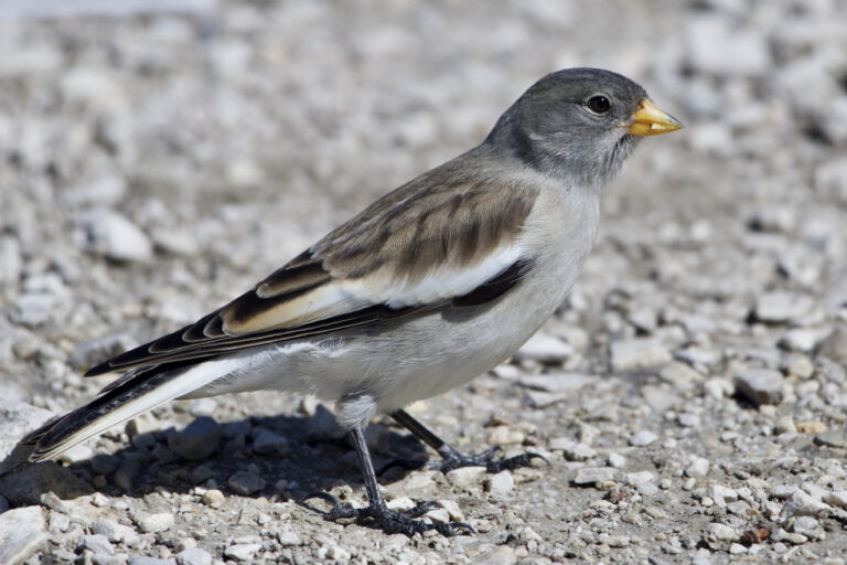
Montifringilla nivalis
♥
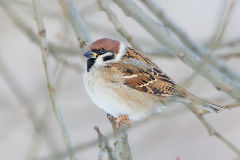
Passer montanus
♥
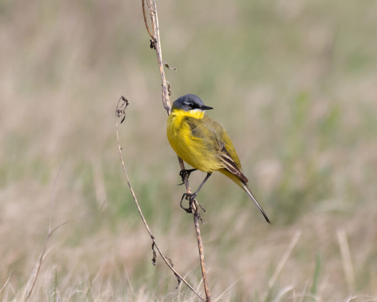
Motacilla flava
♥
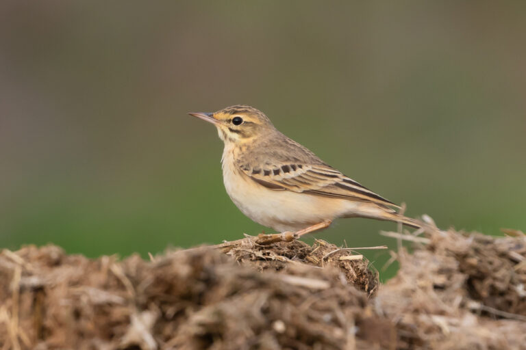
Anthus campestris
♥
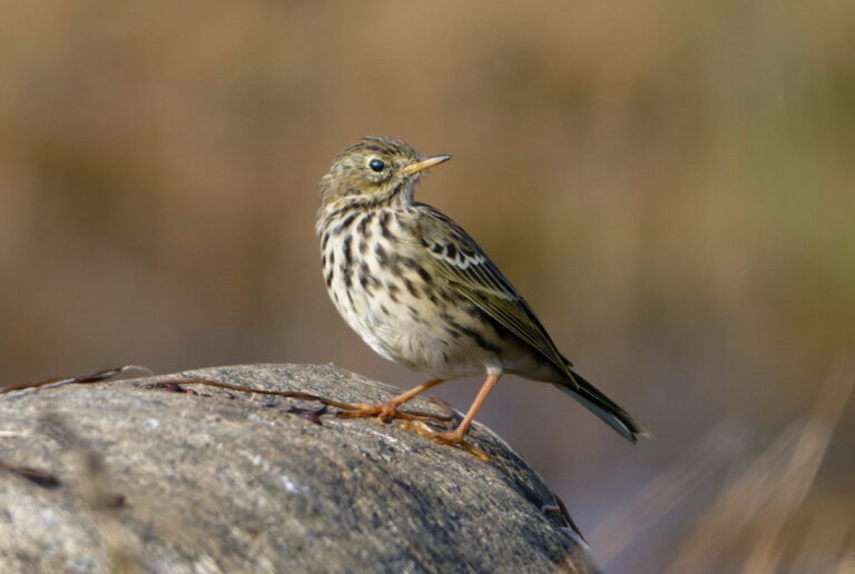
Anthus pratensis
♥
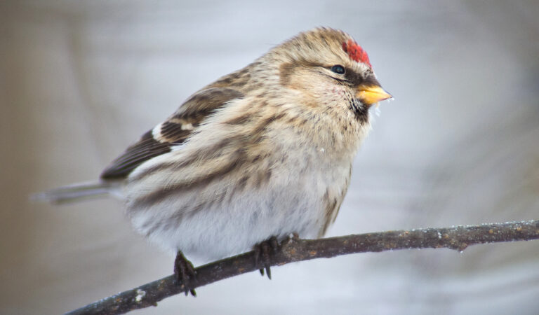
Acanthis flammea
♥
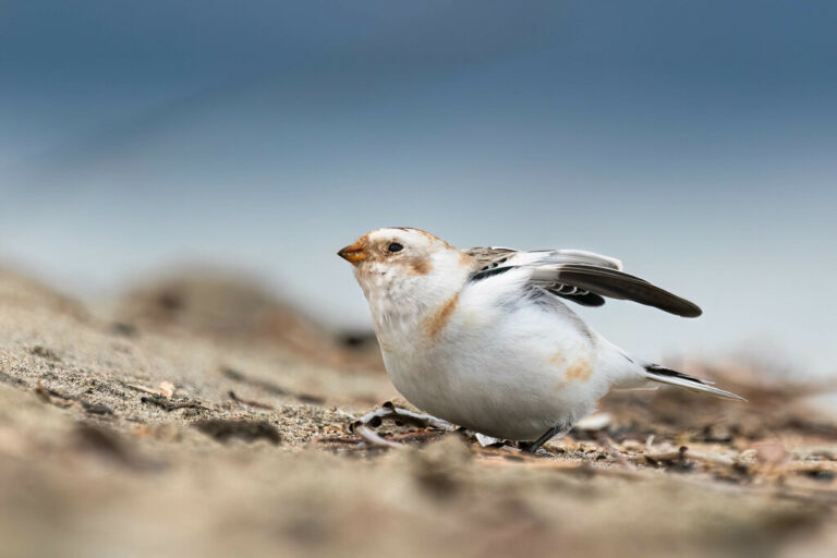
Plectrophenax nivalis
♥
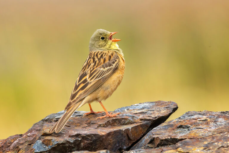
Emberiza hortulana
♥
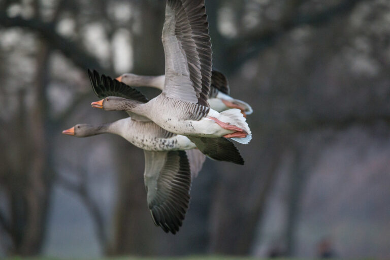
Anser anser
♥
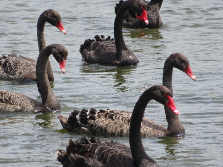
Cygnus atratus
♥
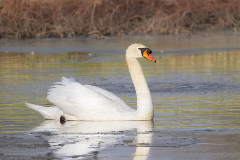
Cygnus olor
♥
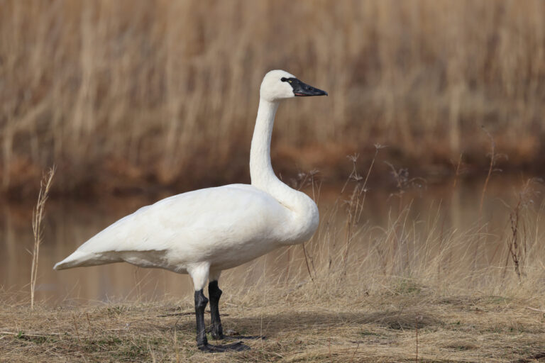
Cygnus columbianus
♥
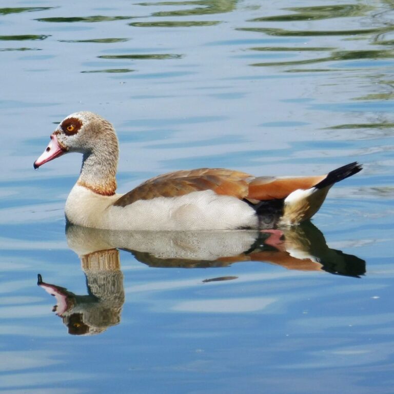
Alopochen aegyptiaca
♥
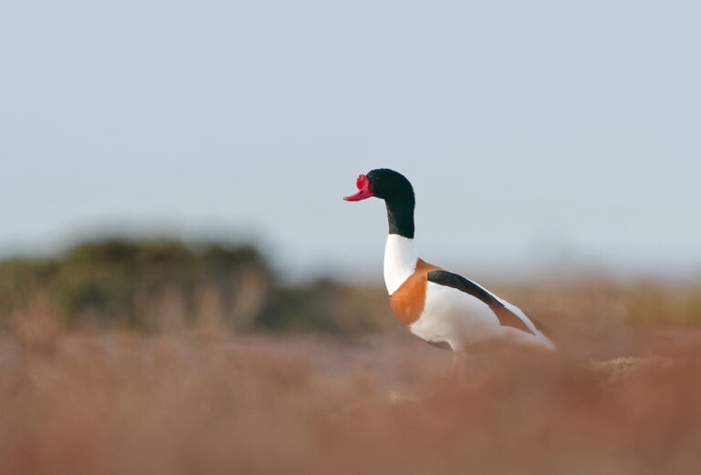
Tadorna tadorna
♥
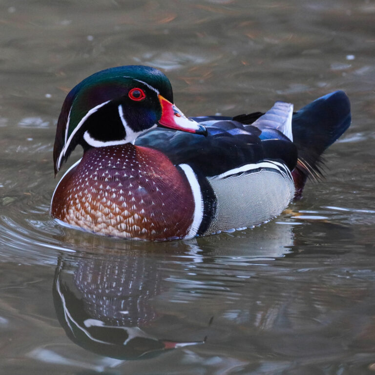
Aix sponsa
♥
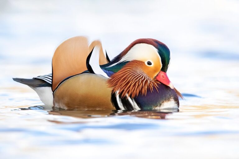
Aix galericulata
♥
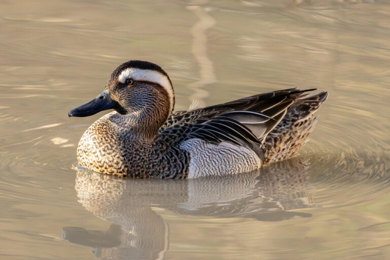
Spatula querquedula
♥
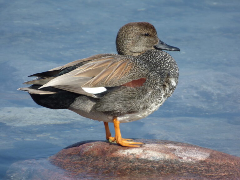
Mareca strepera
♥
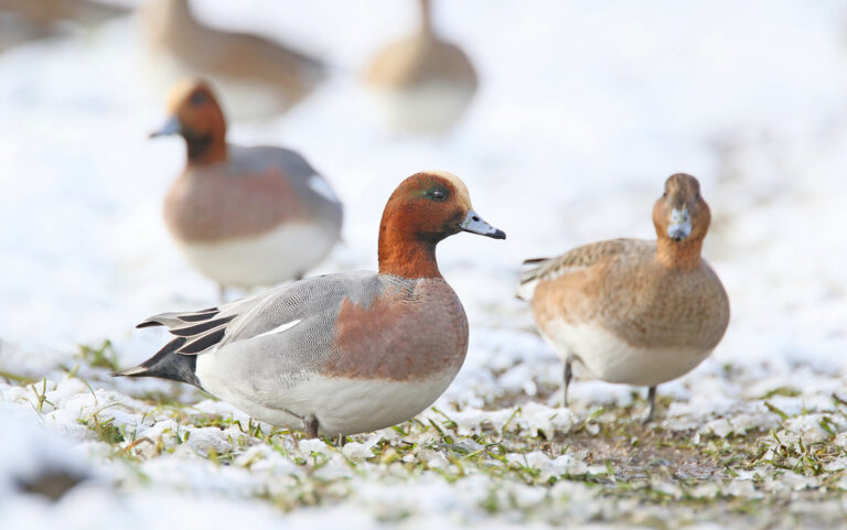
Mareca penelope
♥
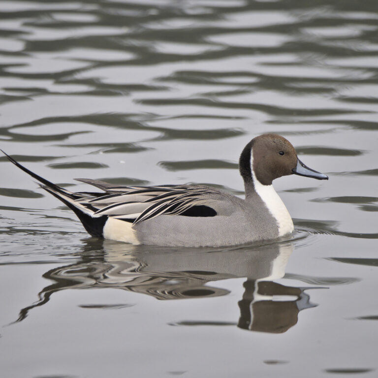
Anas acuta
♥
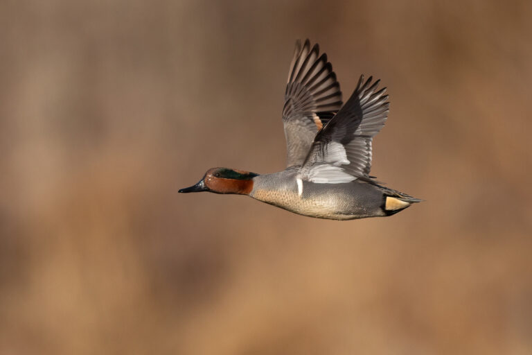
Anas crecca
♥
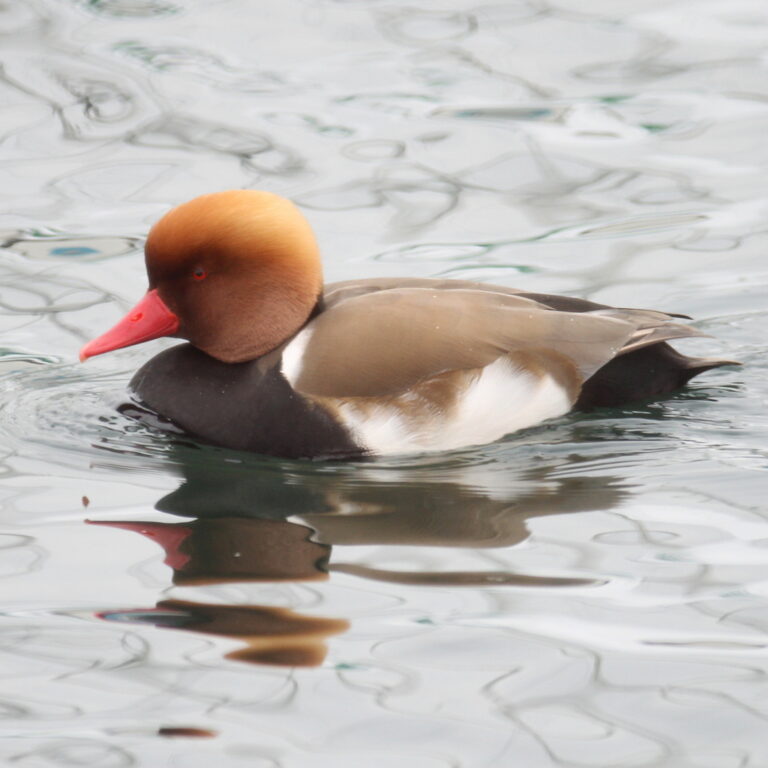
Netta rufina
♥
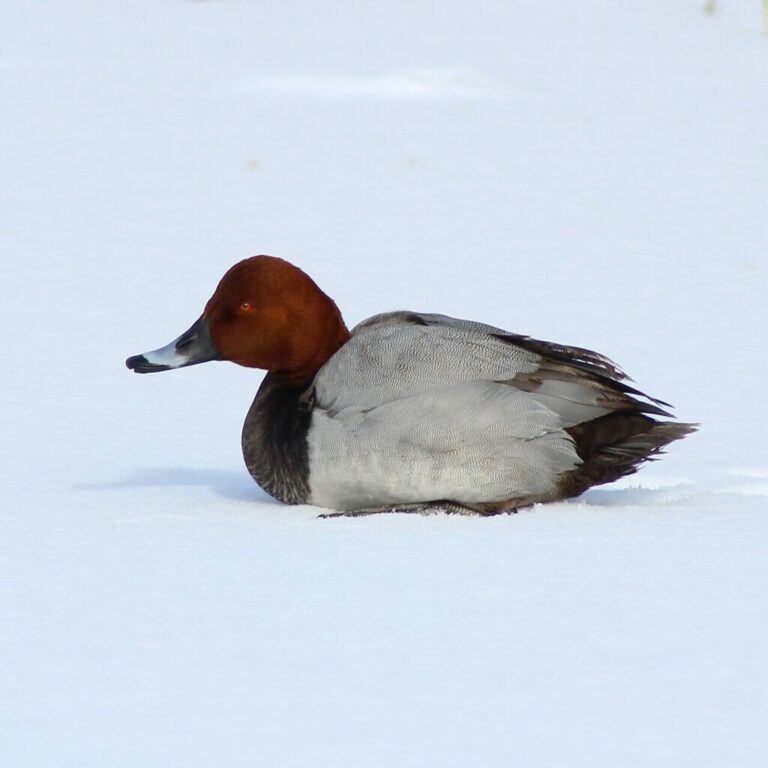
Aythya ferina
♥
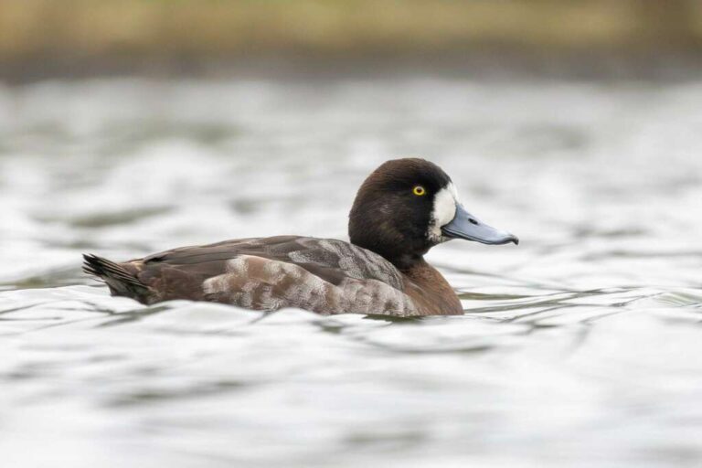
Aythya marila
♥
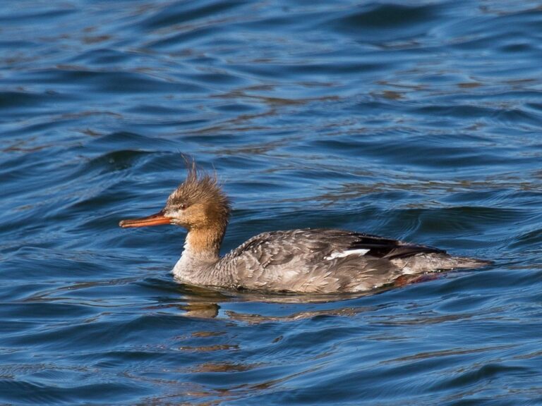
Mergus serrator
♥
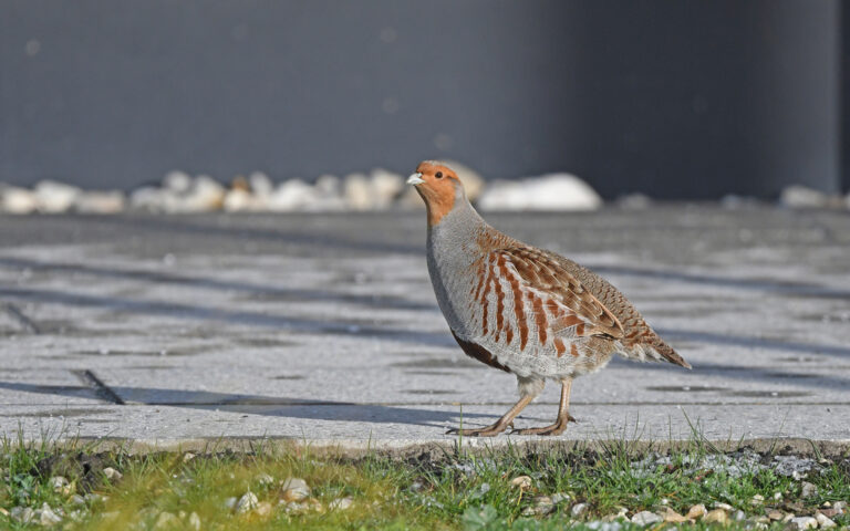
Perdix perdix
♥
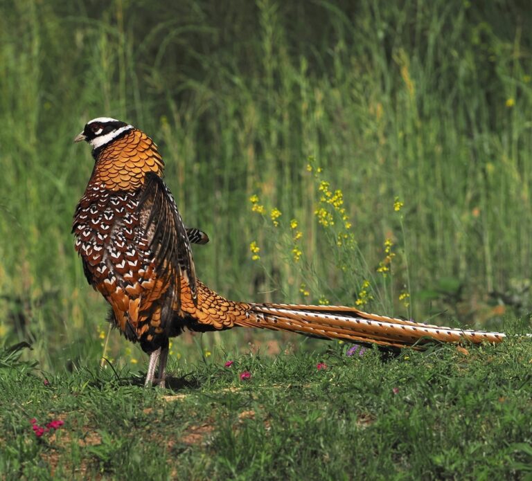
Syrmaticus reevesii
♥
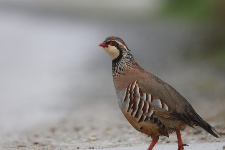
Alectoris rufa
♥
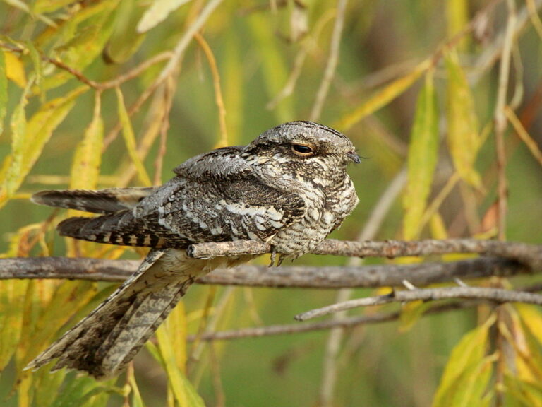
Caprimulgus europaeus
♥
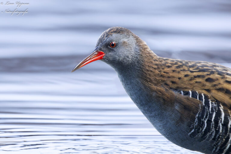
Rallus aquaticus
♥
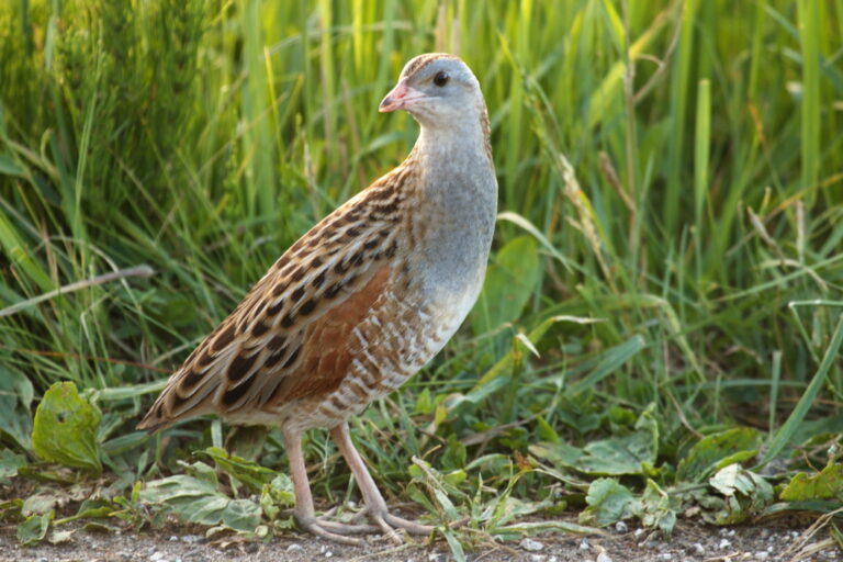
Crex crex
♥
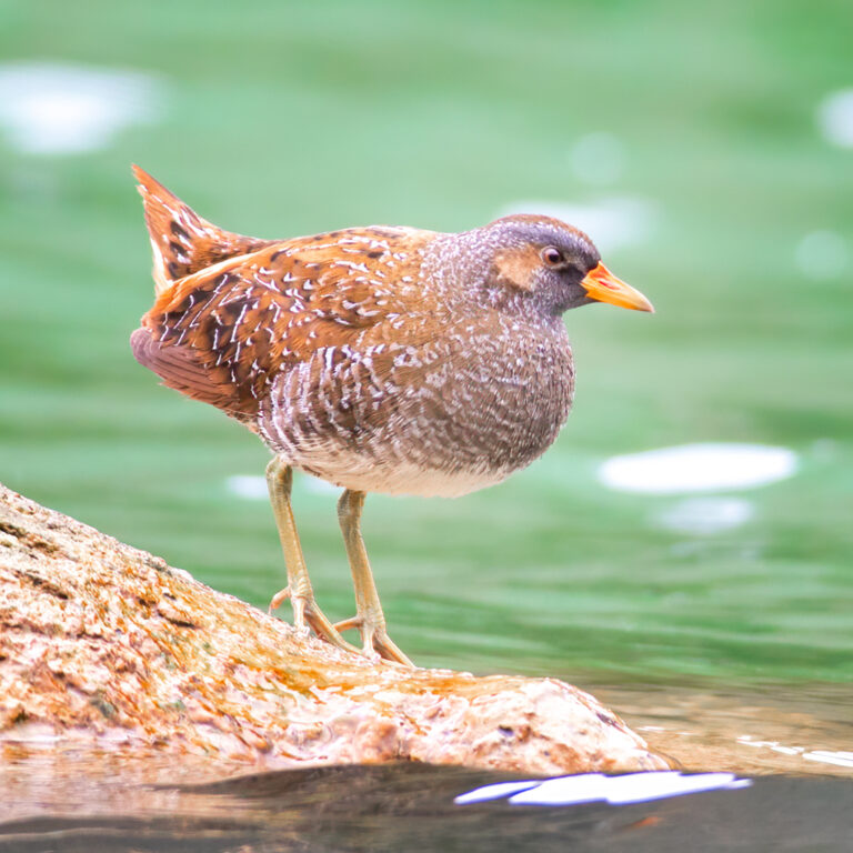
Porzana porzana
♥
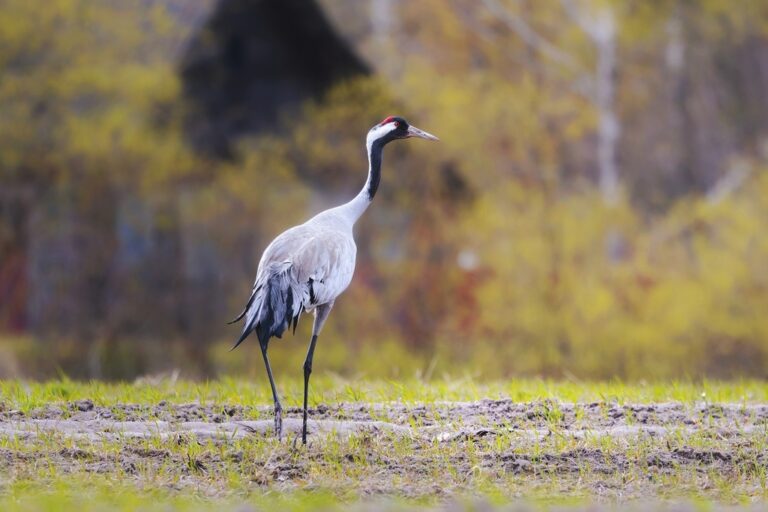
Grus grus
♥
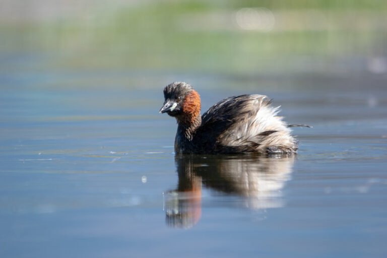
Tachybaptus ruficollis
♥
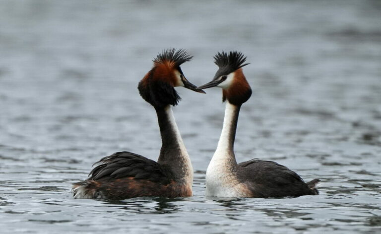
Podiceps cristatus
♥
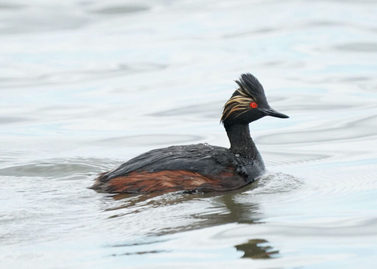
Podiceps nigricollis
♥
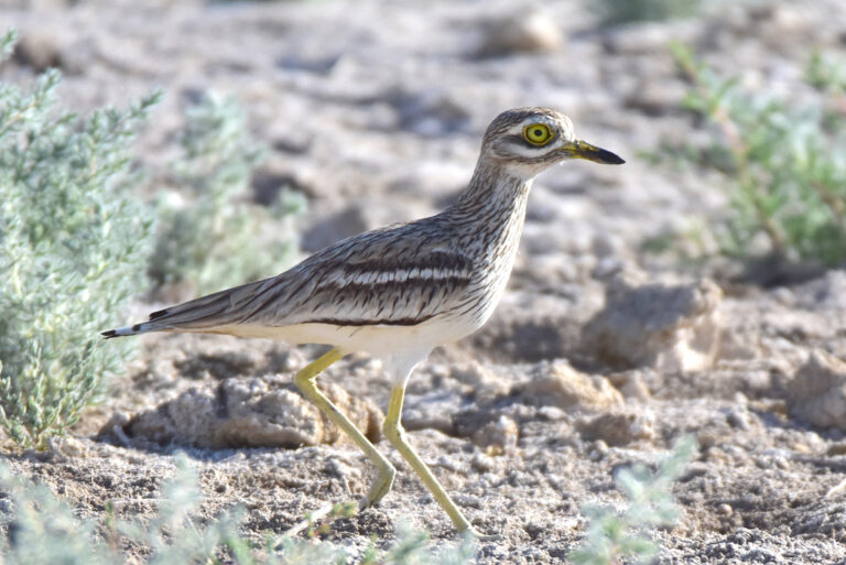
Burhinus oedicnemus
♥
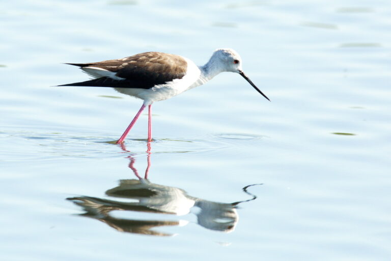
Himantopus himantopus
♥
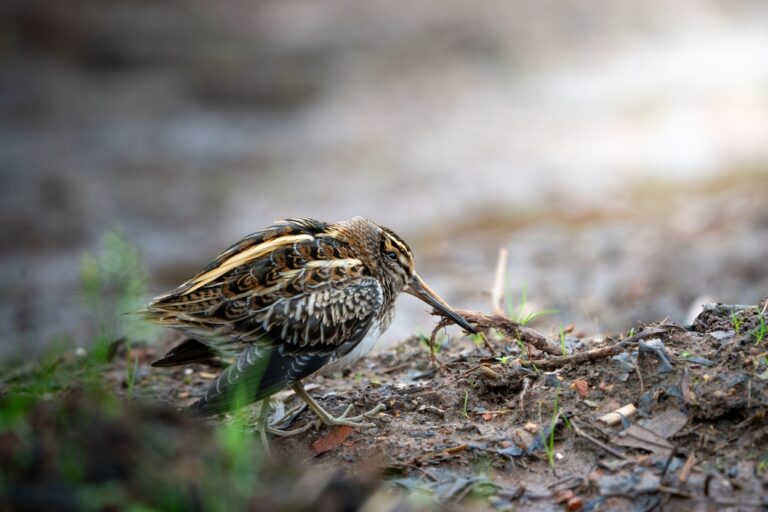
Lymnocryptes minimus
♥
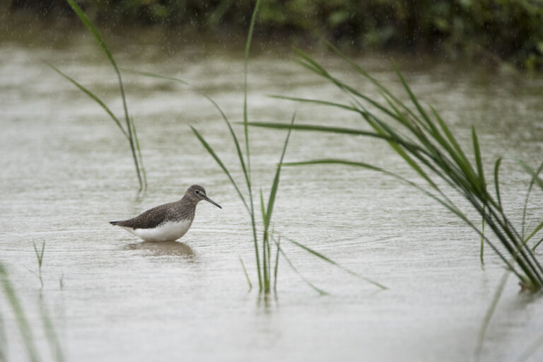
Tringa ochropus
♥
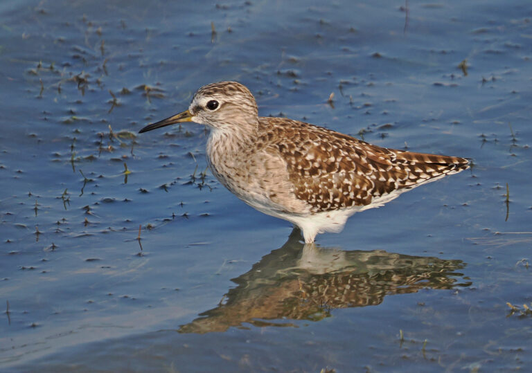
Tringa glareola
♥
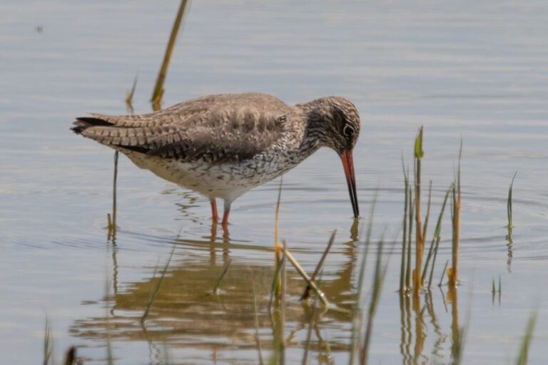
Tringa totanus
♥
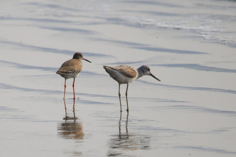
Tringa nebularia
♥
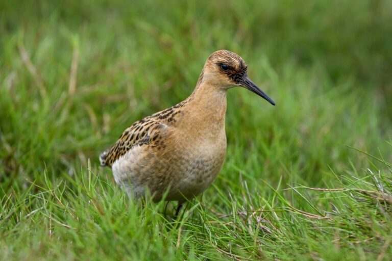
Calidris pugnax
♥
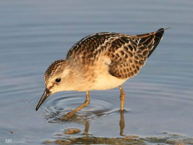
Calidris minuta
♥
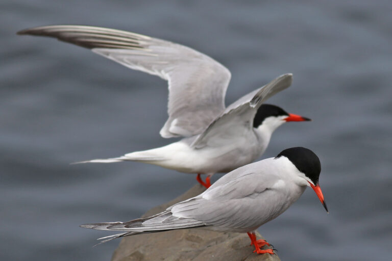
Sterna hirundo
♥
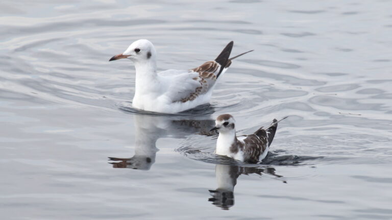
Hydrocoloeus minutus
♥
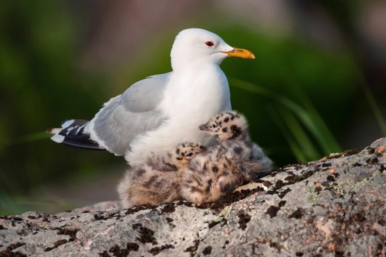
Larus canus
♥
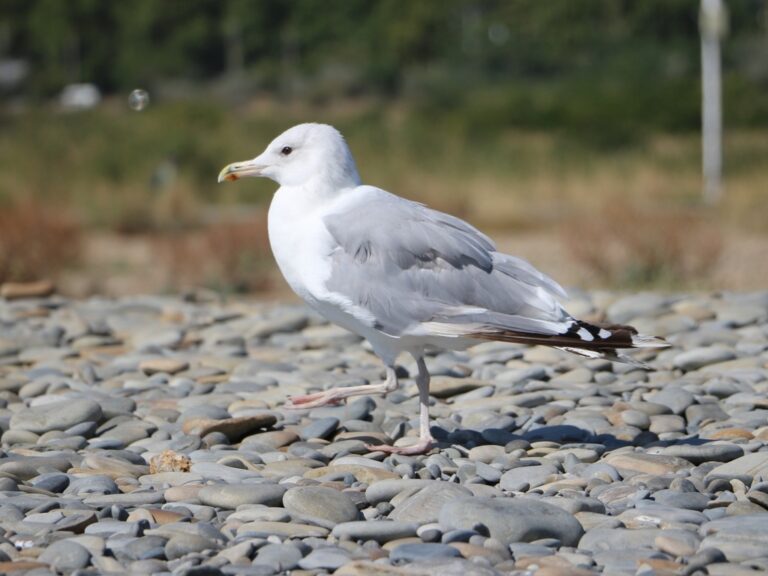
Larus cachinnans
♥
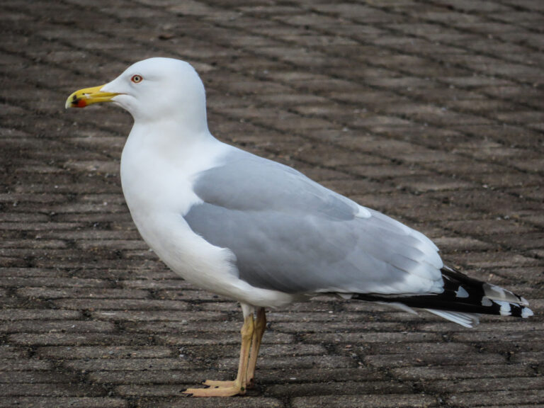
Larus argentatus
♥
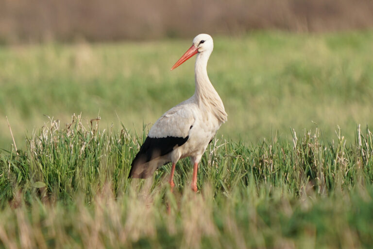
Ciconia ciconia
♥
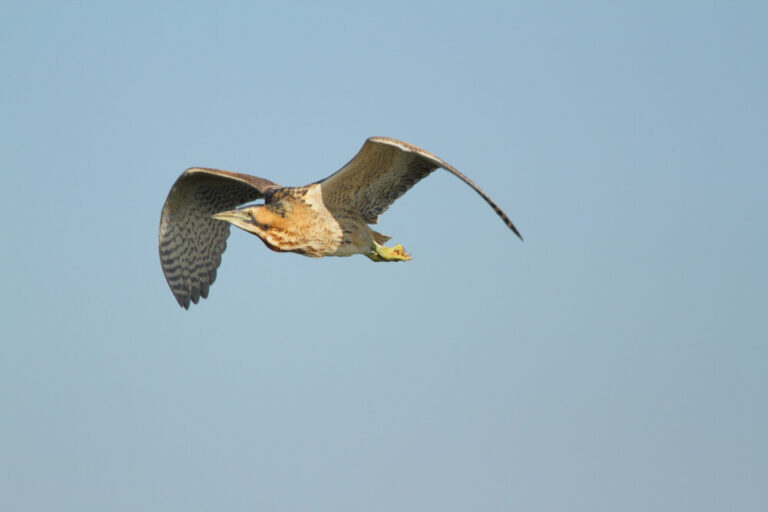
Botaurus stellaris
♥
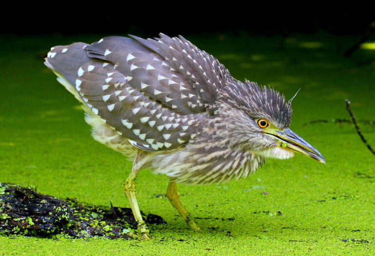
Nycticorax nycticorax
♥
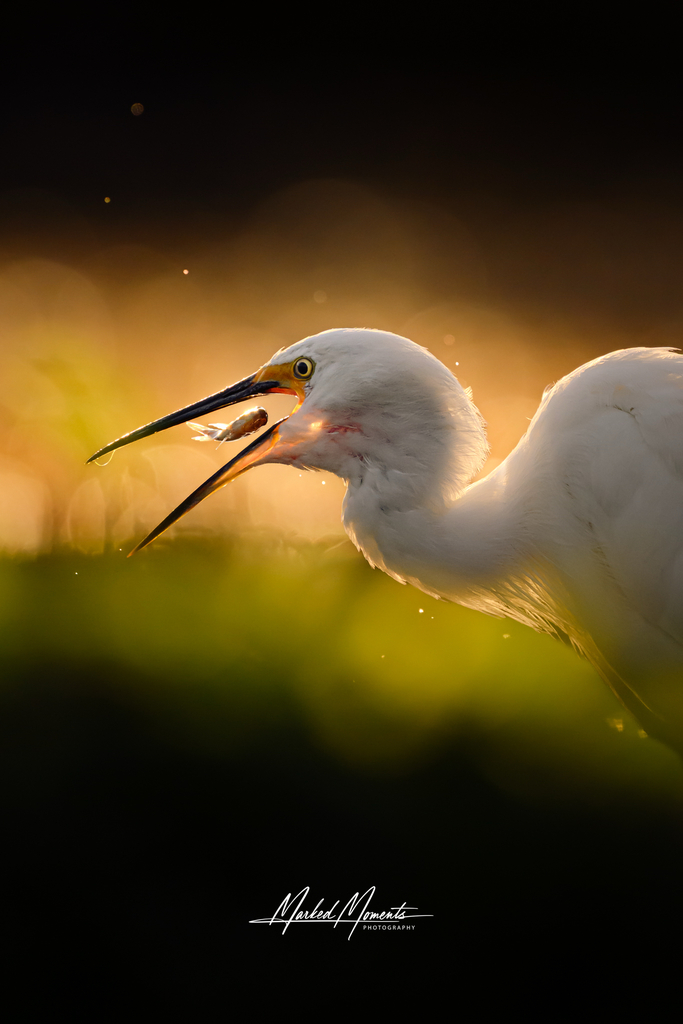
Egretta garzetta
♥
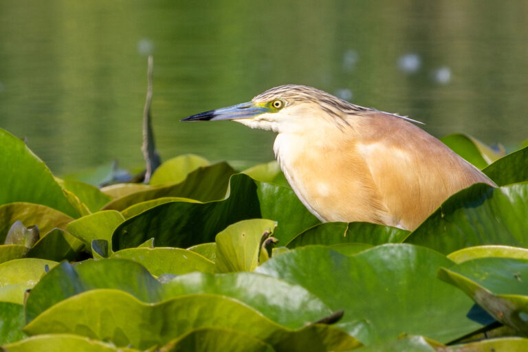
Ardeola ralloides
♥
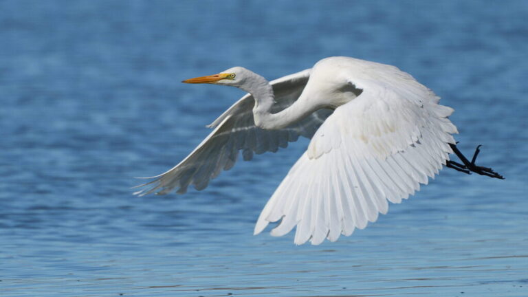
Ardea alba
♥
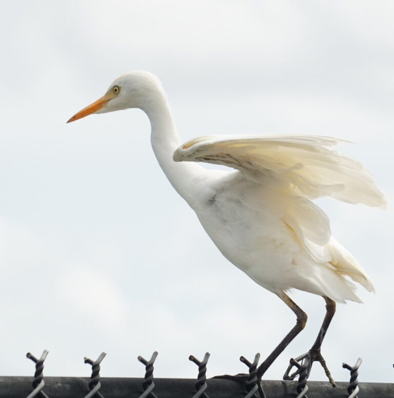
Ardea ibis
♥
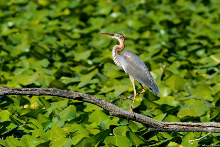
Ardea purpurea
♥
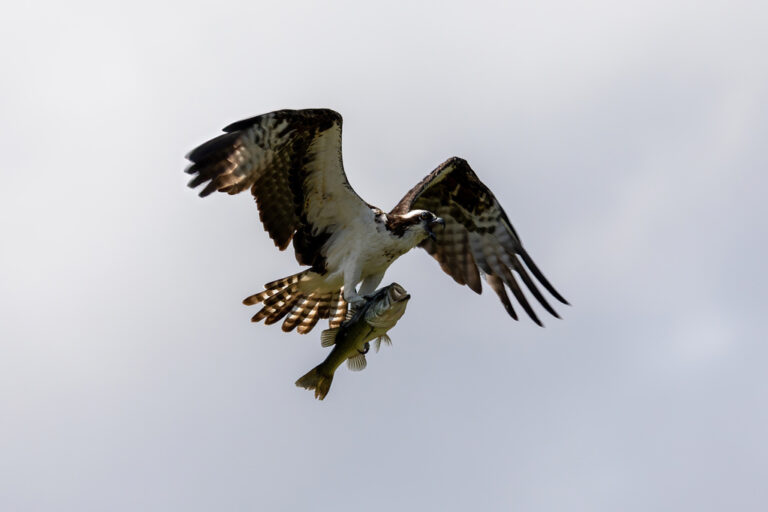
Pandion haliaetus
♥
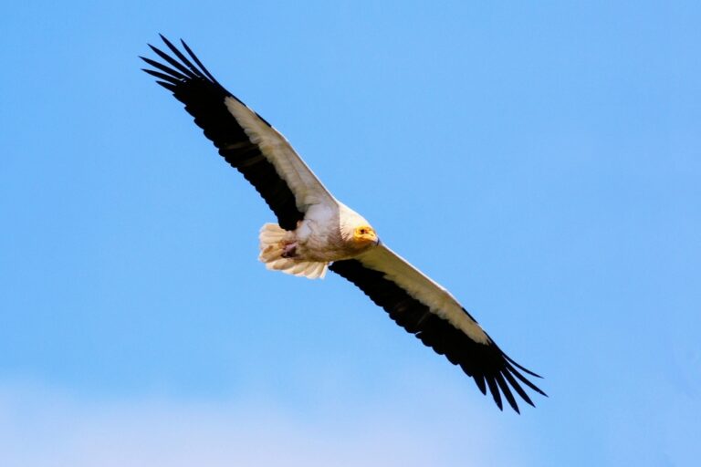
Neophron percnopterus
♥
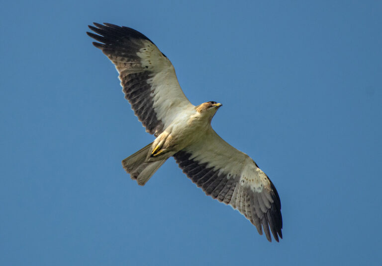
Hieraaetus pennatus
♥
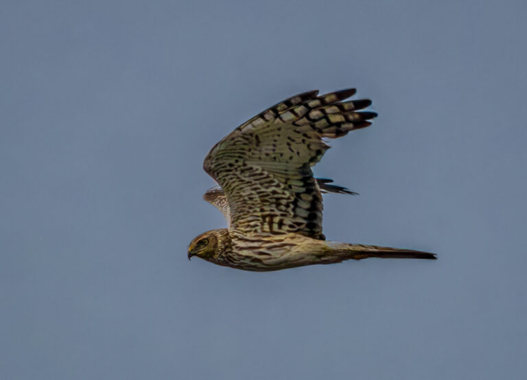
Circus pygargus
♥
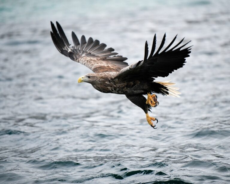
Haliaeetus albicilla
♥
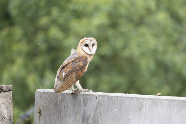
Tyto alba
♥
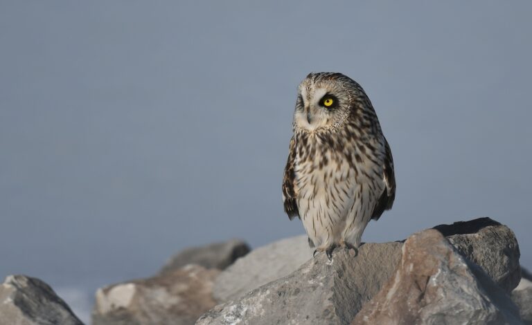
Asio flammeus
♥
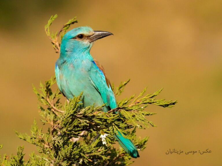
Coracias garrulus
♥
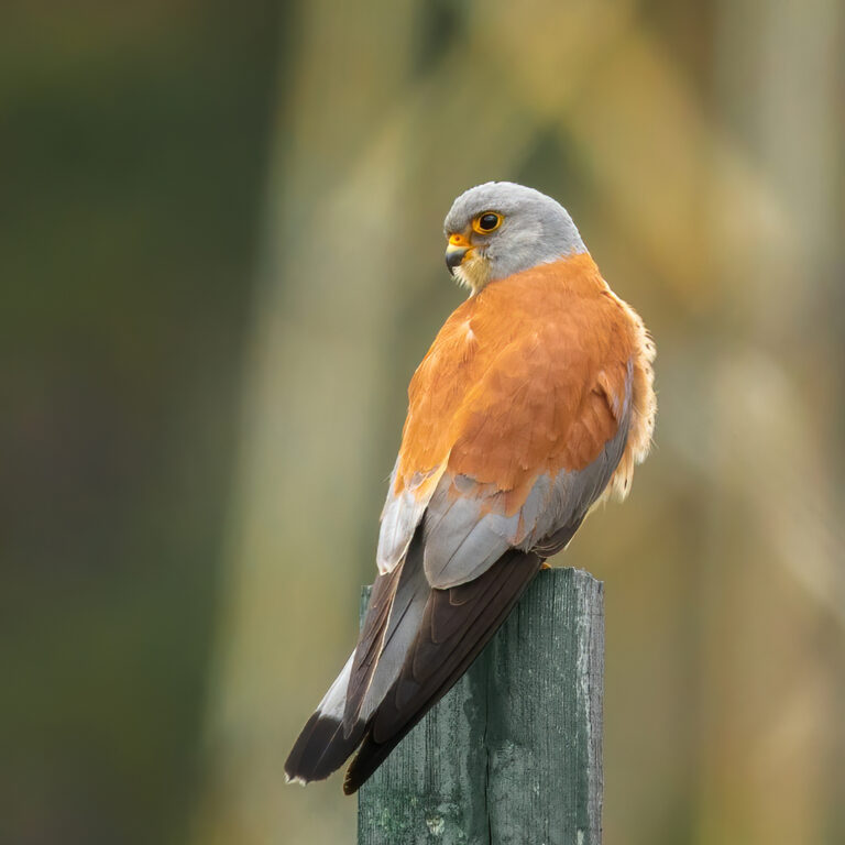
Falco naumanni
♥
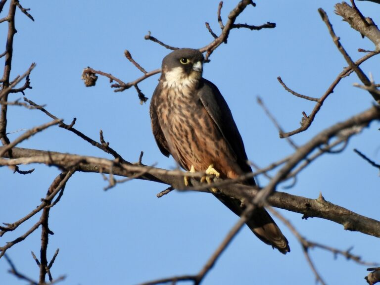
Falco eleonorae
♥
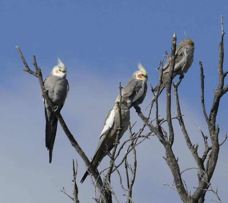
Nymphicus hollandicus
♥
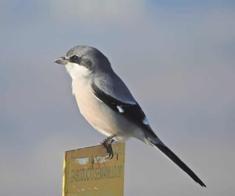
Lanius meridionalis
♥
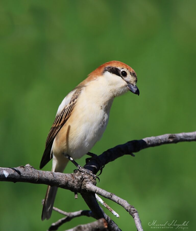
Lanius senator
♥
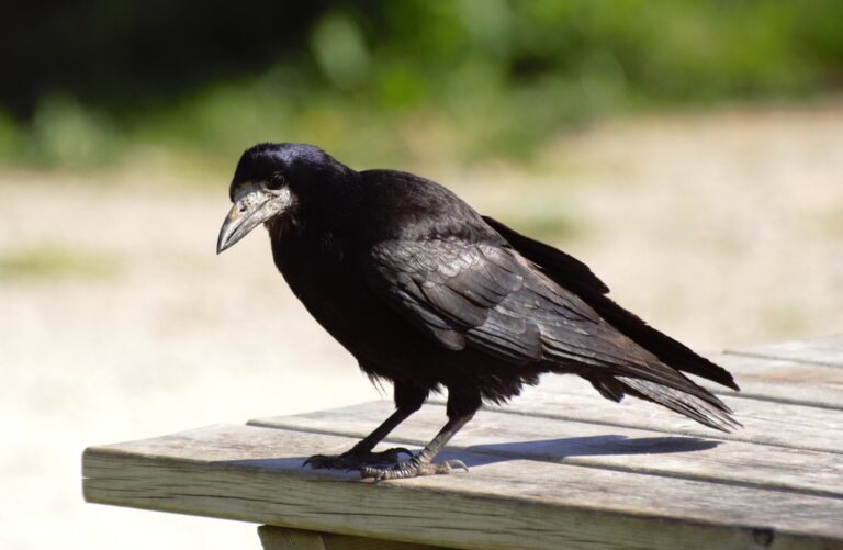
Corvus frugilegus
♥
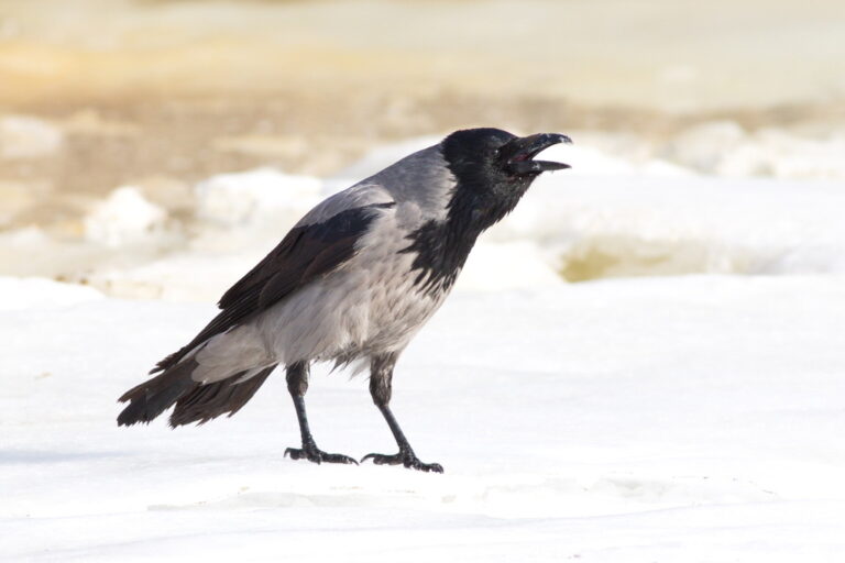
Corvus cornix
♥
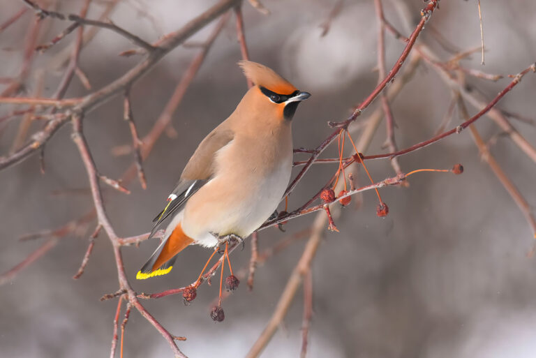
Bombycilla garrulus
♥
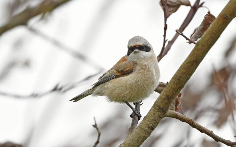
Remiz pendulinus
♥
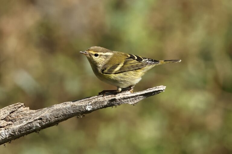
Phylloscopus inornatus
♥
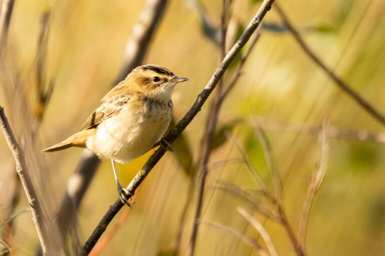
Acrocephalus schoenobaenus
♥
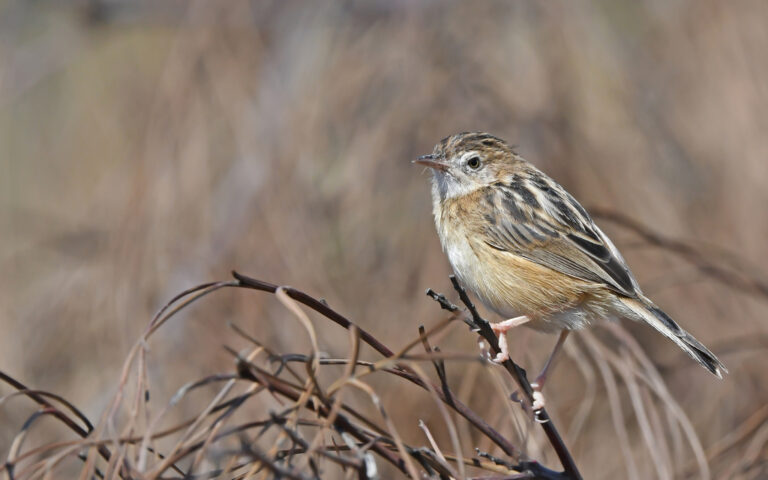
Cisticola juncidis
♥
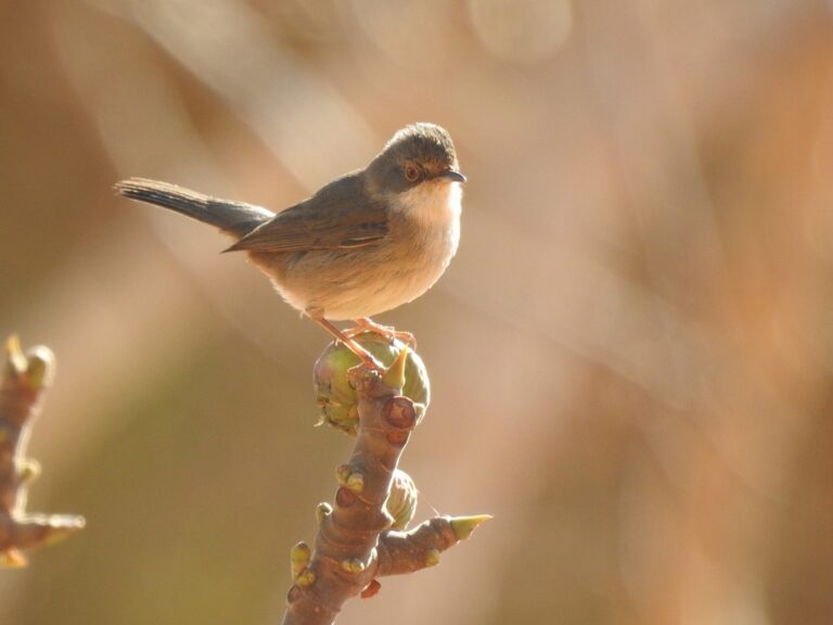
Curruca melanocephala
♥
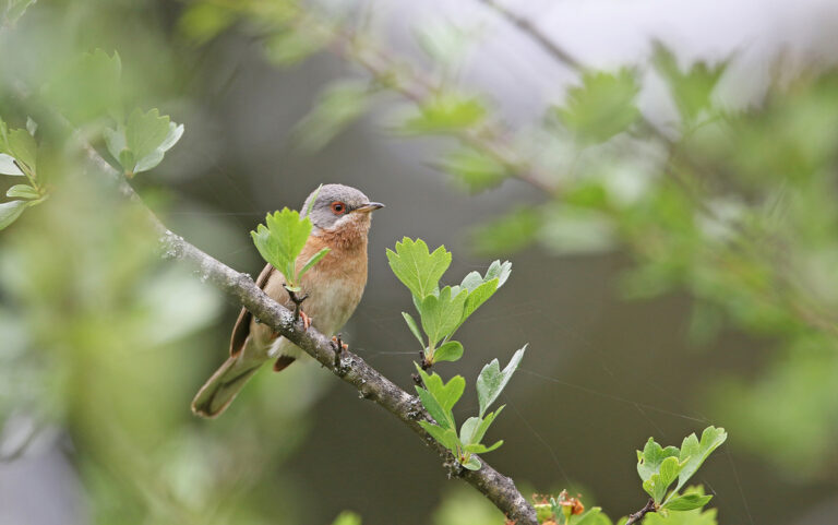
Curruca iberiae
♥
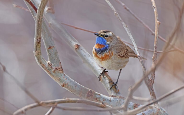
Luscinia svecica
♥
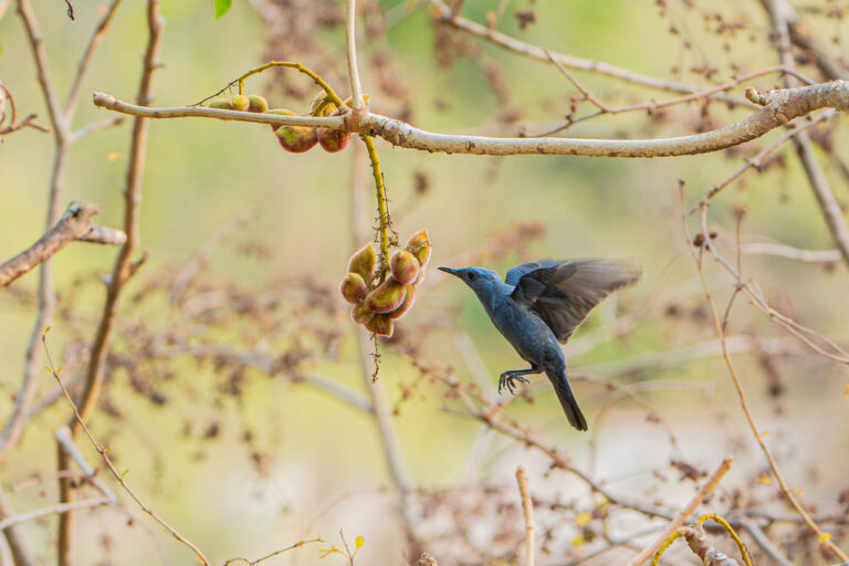
Monticola solitarius
♥
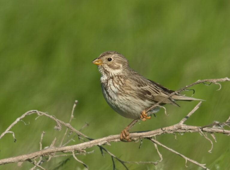
Emberiza calandra
♥
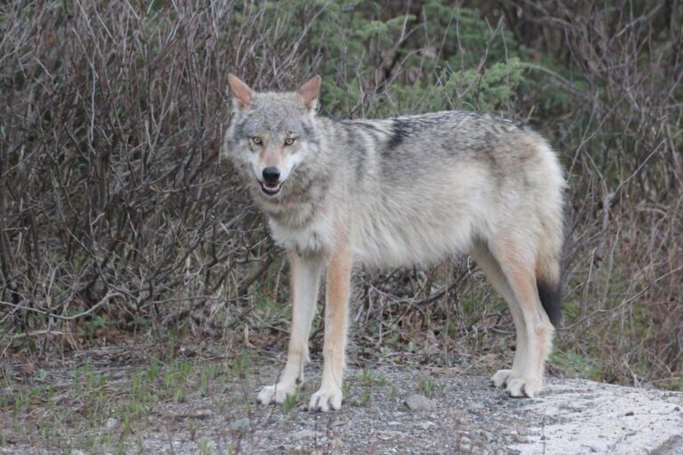
Canis lupus
♥
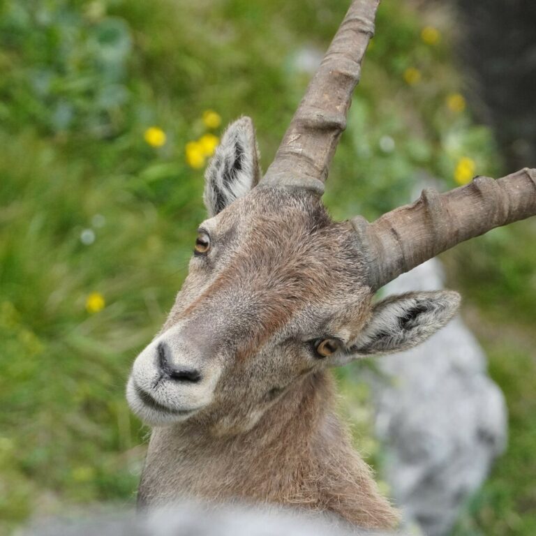
Capra ibex
♥
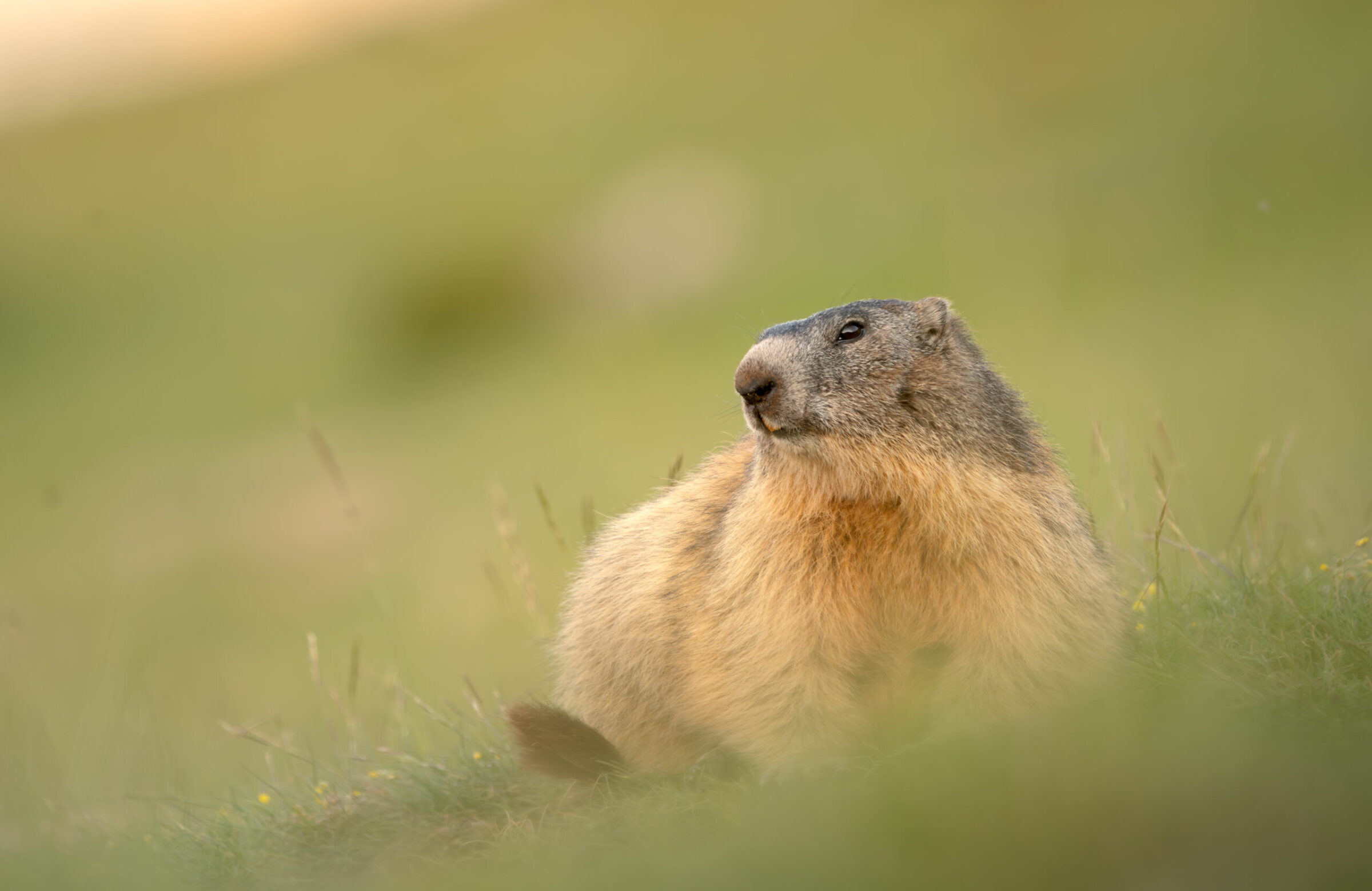
Marmota marmota
♥
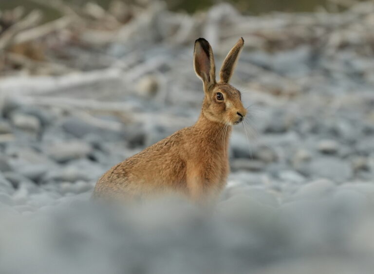
Lepus europaeus
♥
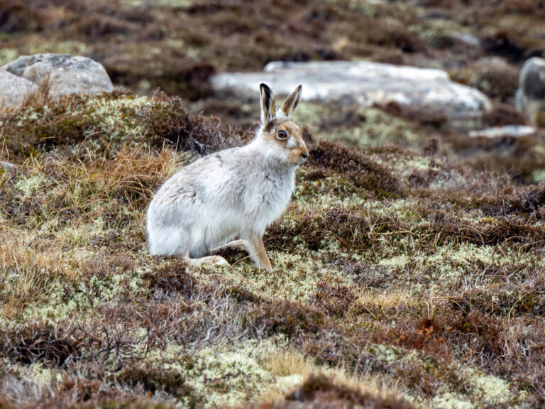
Lepus timidus
♥
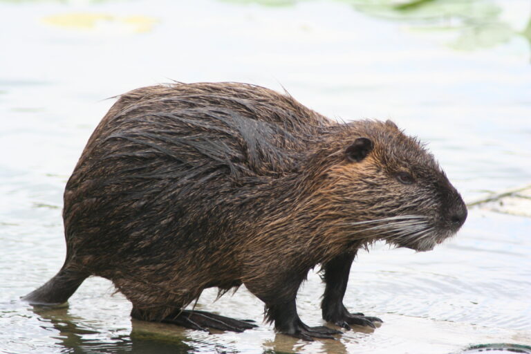
Myocastor coypus
♥
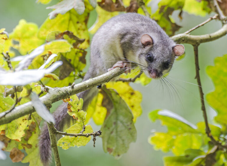
Glis glis
♥
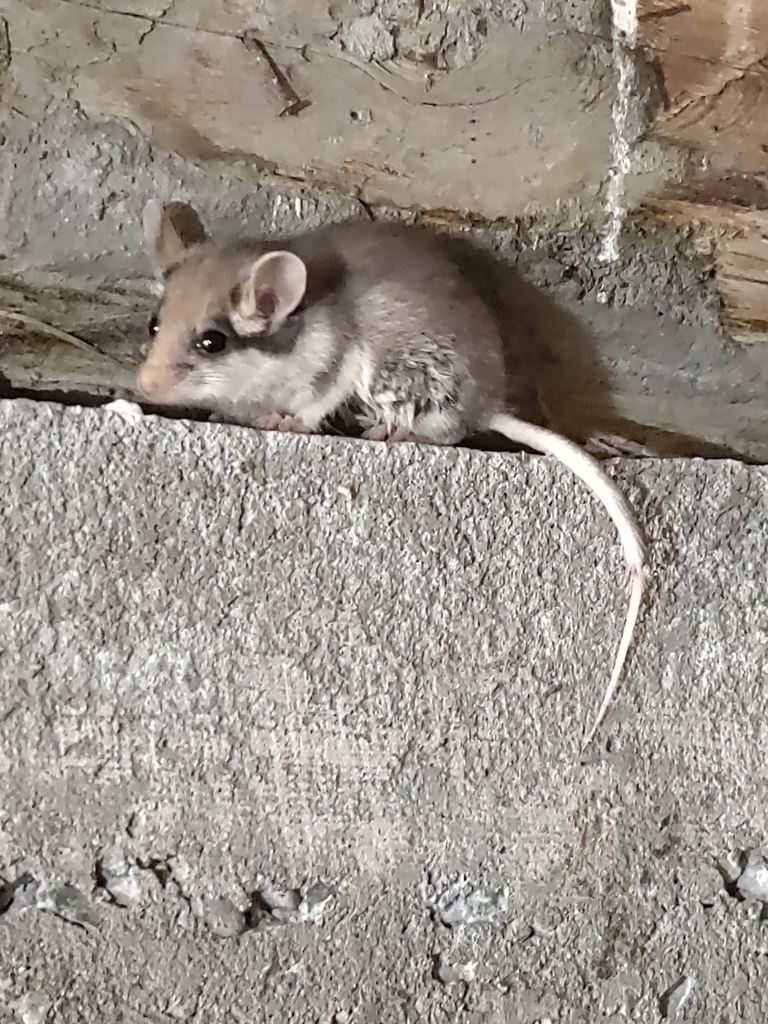
Eliomys quercinus
♥
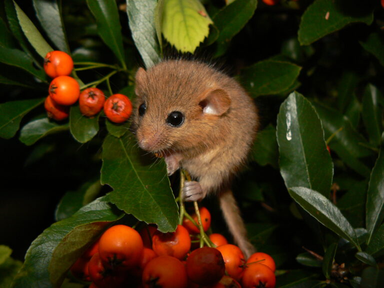
Muscardinus avellanarius
♥
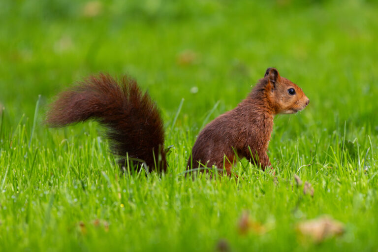
Sciurus vulgaris
♥
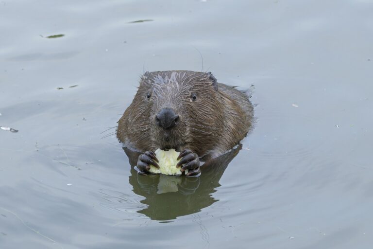
Castor fiber
♥
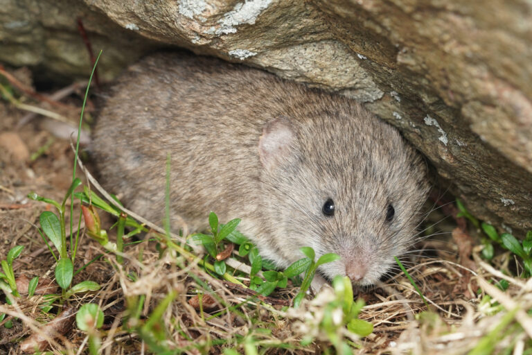
Chionomys nivalis
♥
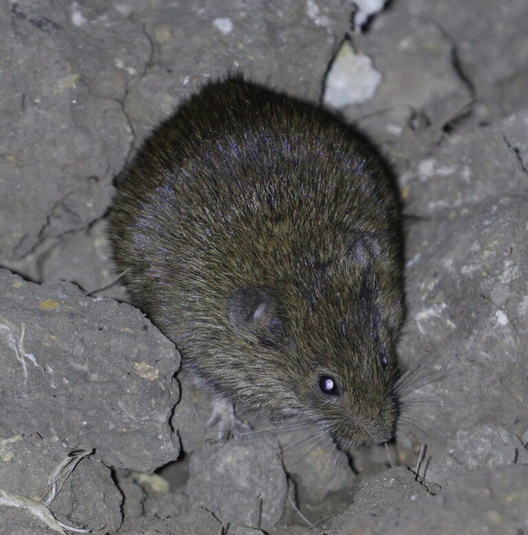
Microtus arvalis
♥
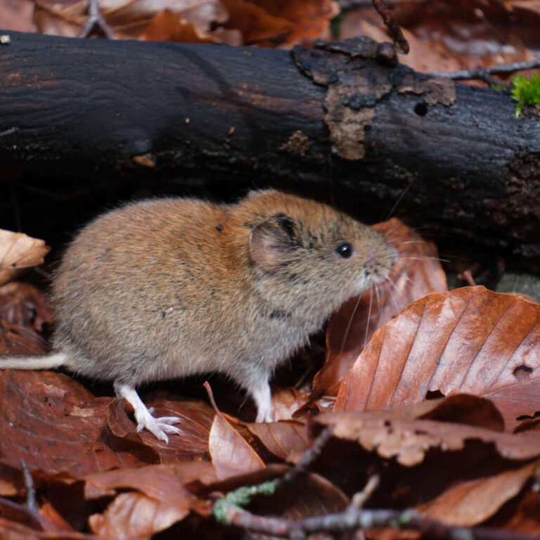
Clethrionomys glareolus
♥
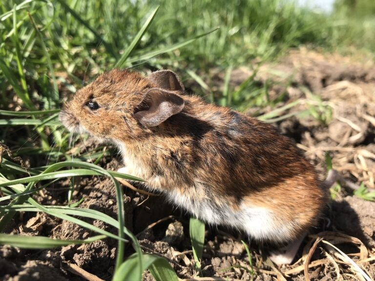
Apodemus sylvaticus
♥
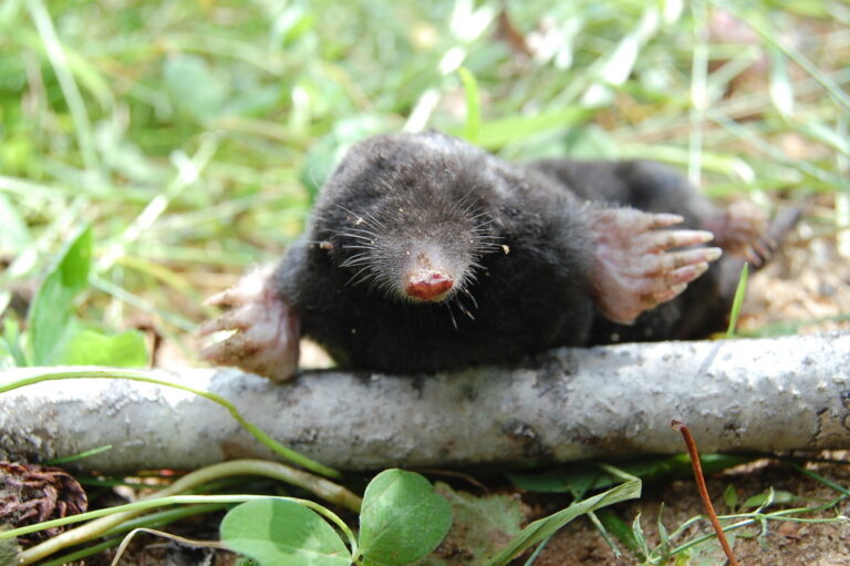
Talpa europaea
♥
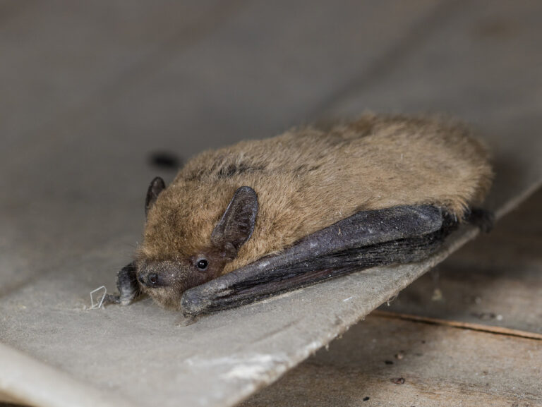
Pipistrellus pipistrellus
♥
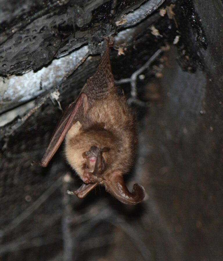
Plecotus auritus
♥
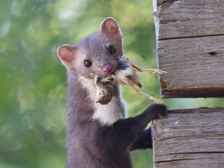
Martes foina
♥
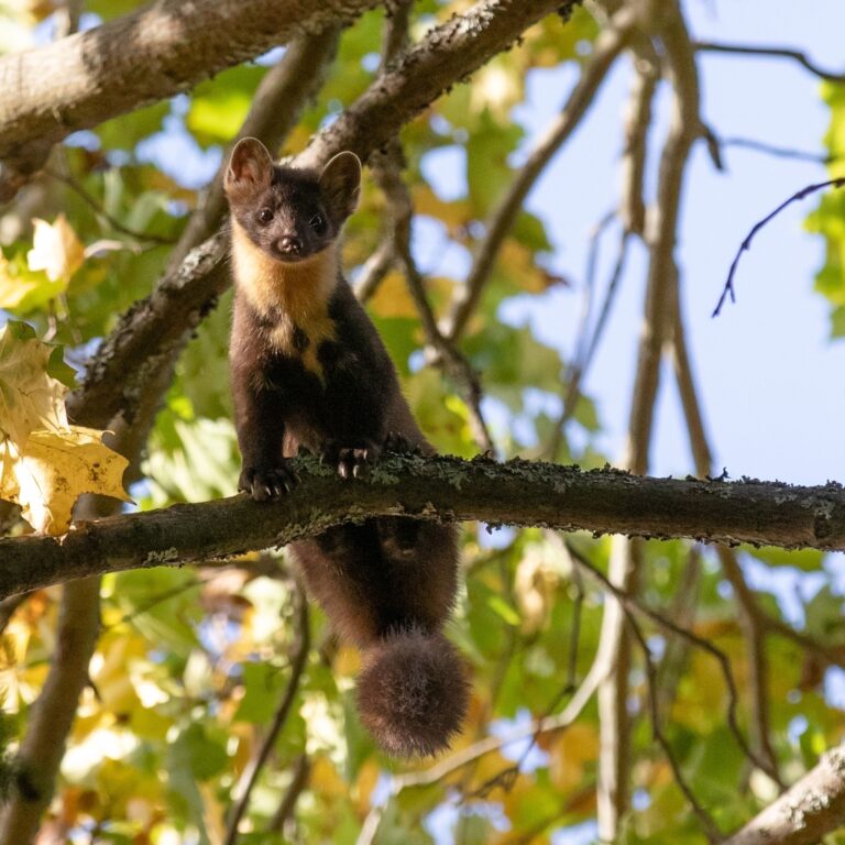
Martes martes
♥
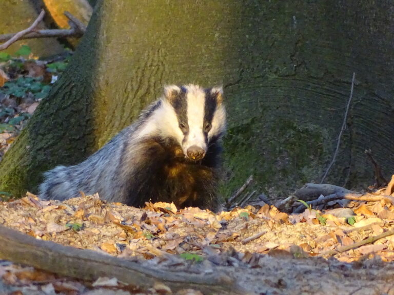
Meles meles
♥
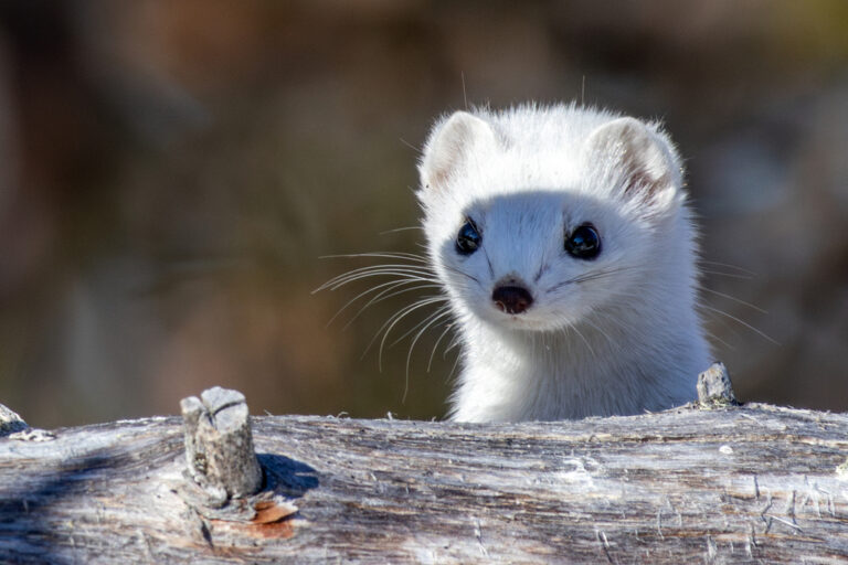
Mustela erminea
♥
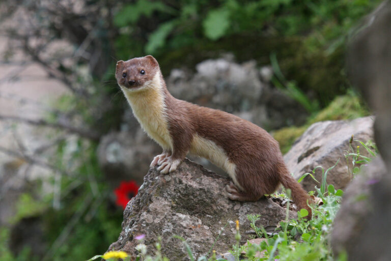
Mustela nivalis
♥
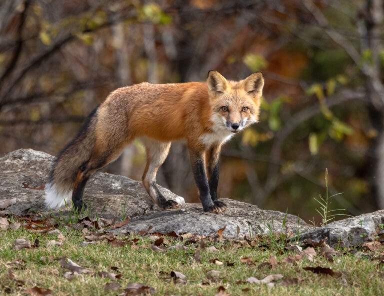
Vulpes vulpes
♥
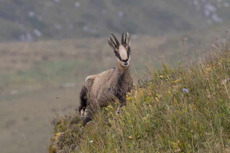
Rupicapra rupicapra
♥
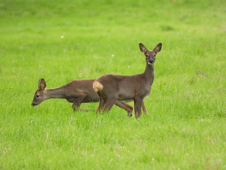
Capreolus capreolus
♥
Cervus elaphus
♥
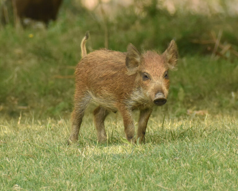
Sus scrofa
♥
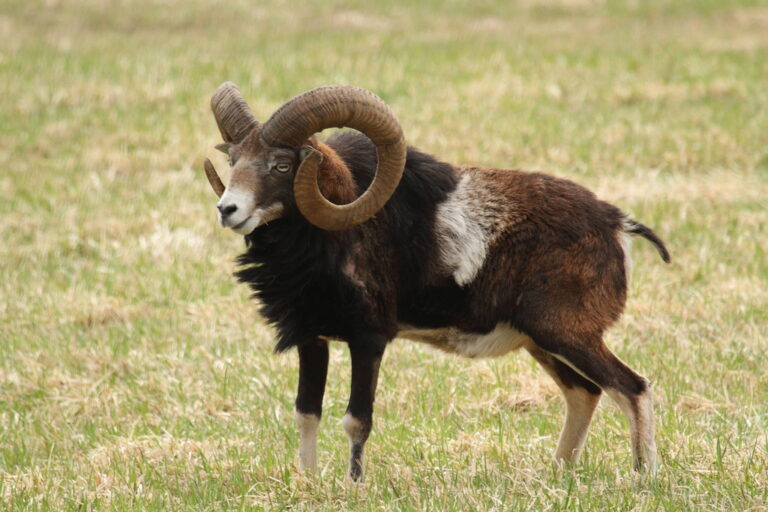
Ovis aries musimon
♥
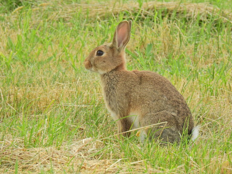
Oryctolagus cuniculus
♥
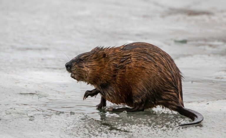
Ondatra zibethicus
♥
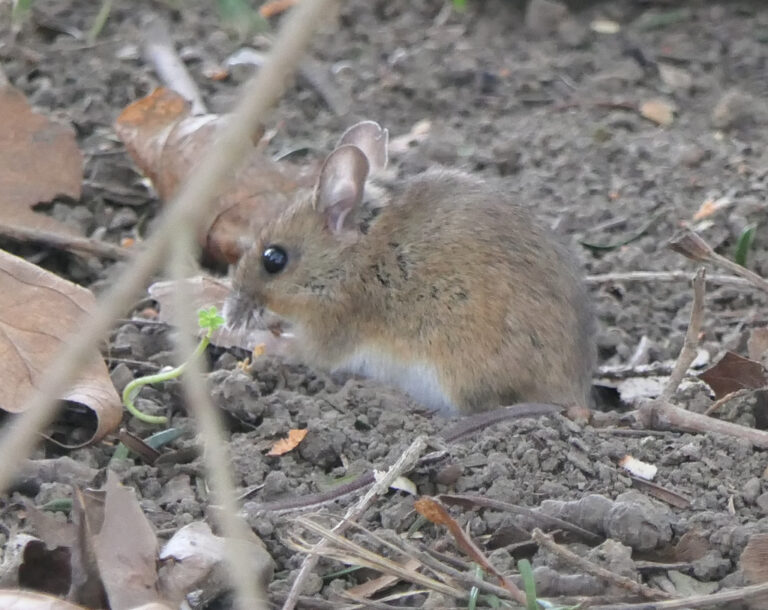
Apodemus flavicollis
♥
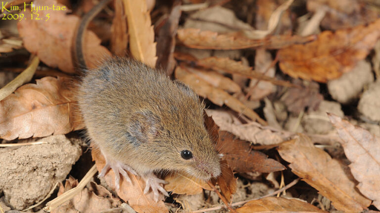
Micromys minutus
♥
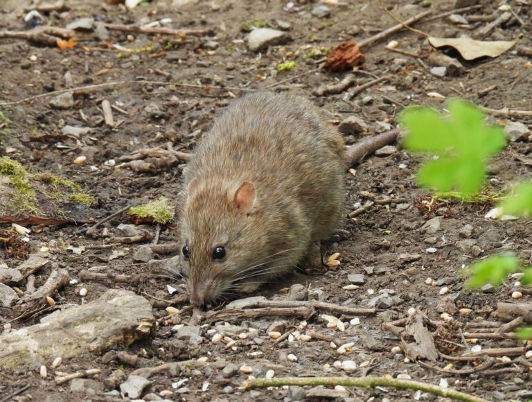
Rattus norvegicus
♥
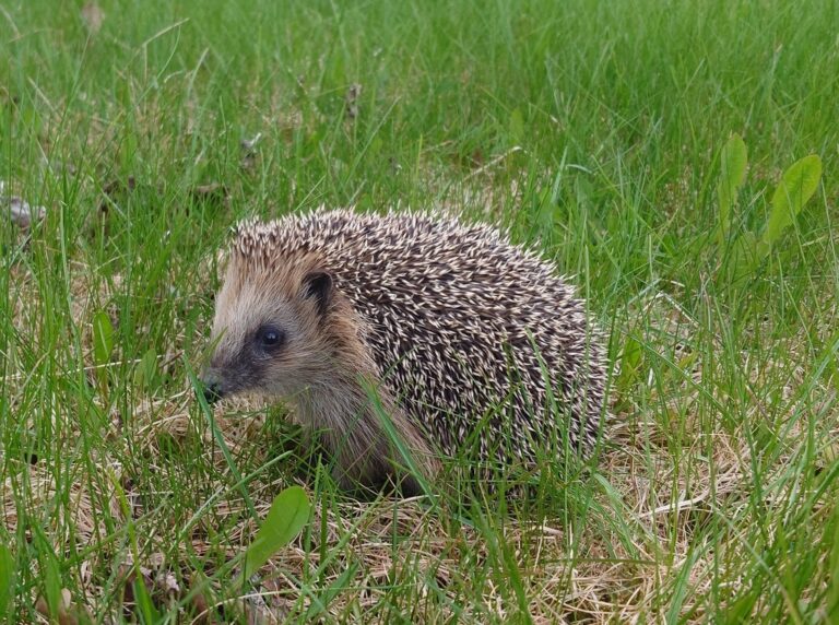
Erinaceus europaeus
♥
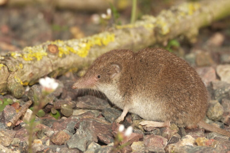
Crocidura russula
♥
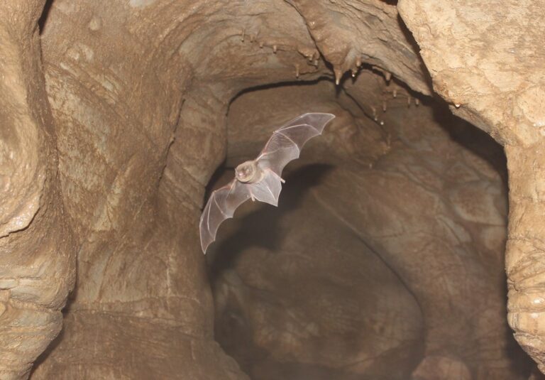
Miniopterus schreibersii
♥
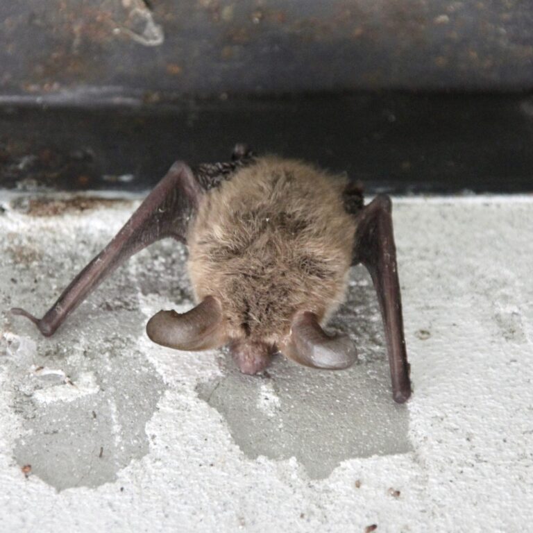
Myotis bechsteinii
♥
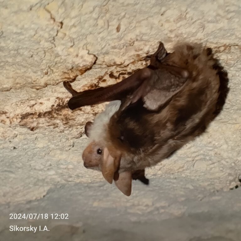
Myotis blythii
♥
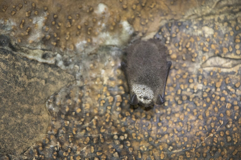
Myotis brandtii
♥
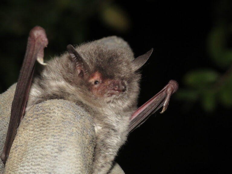
Myotis capaccinii
♥
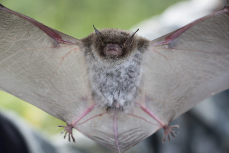
Myotis daubentonii
♥
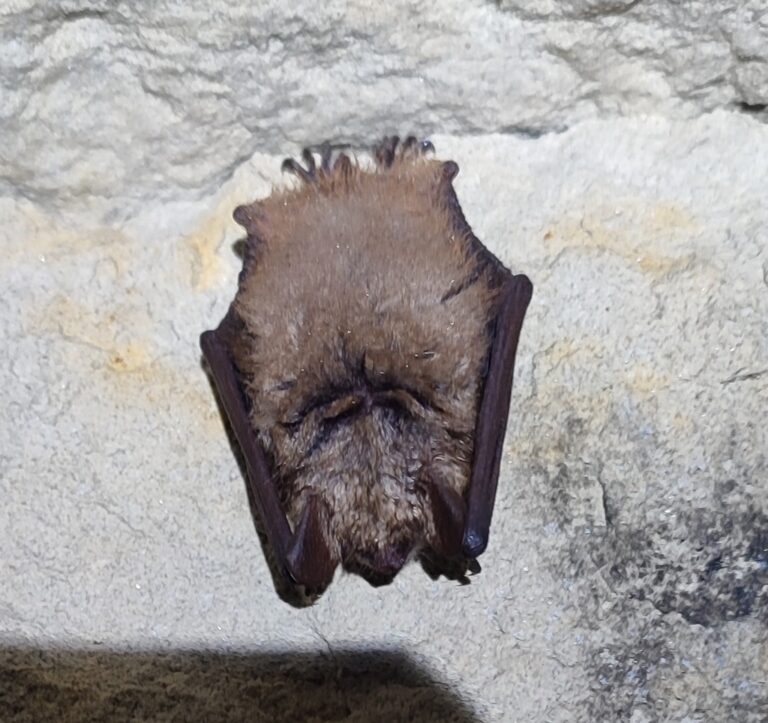
Myotis emarginatus
♥
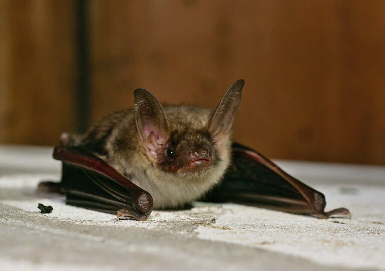
Myotis myotis
♥
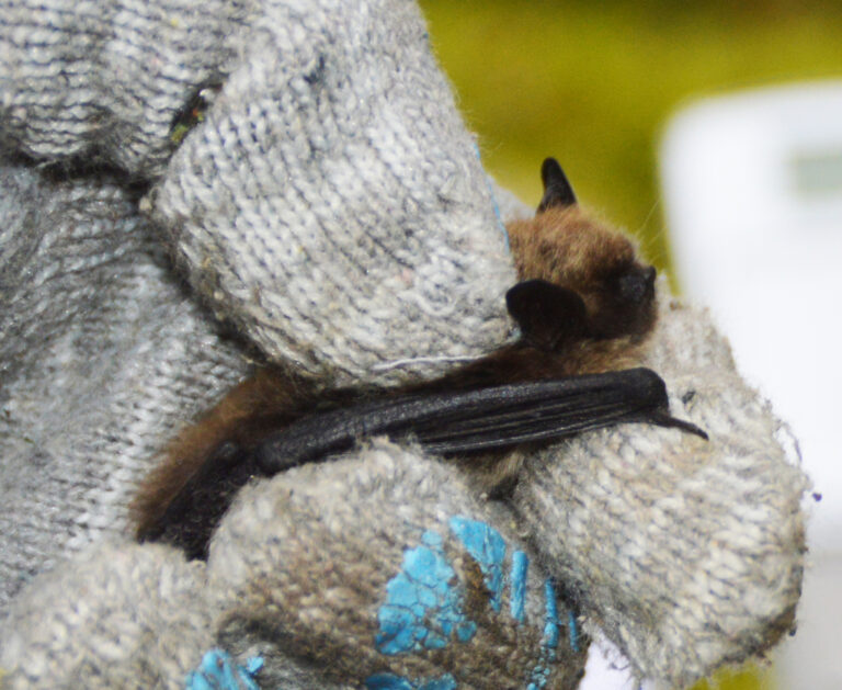
Myotis mystacinus
♥
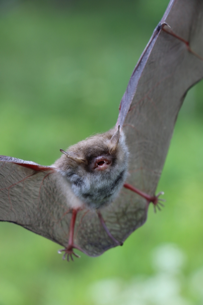
Myotis nattereri
♥
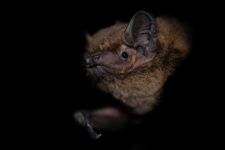
Nyctalus leisleri
♥
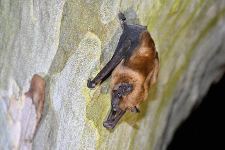
Nyctalus noctula
♥
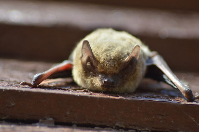
Pipistrellus kuhlii
♥
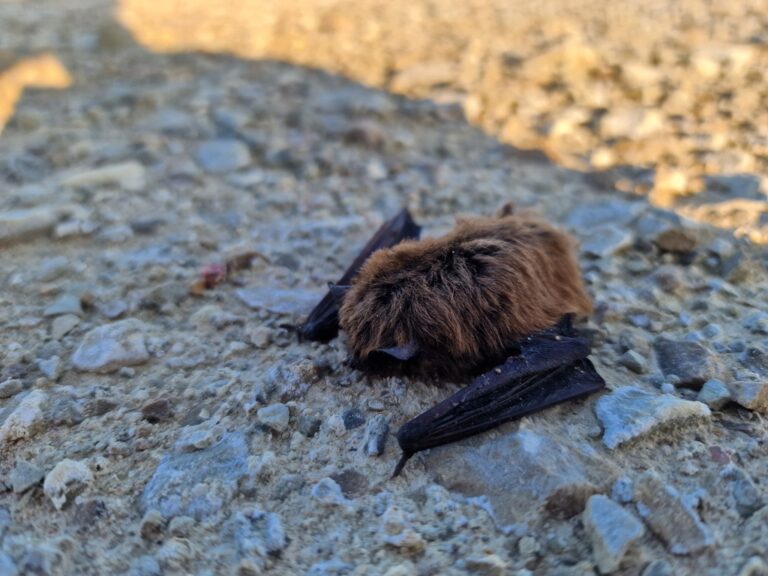
Pipistrellus nathusii
♥
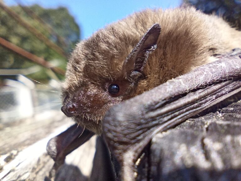
Pipistrellus pygmaeus
♥
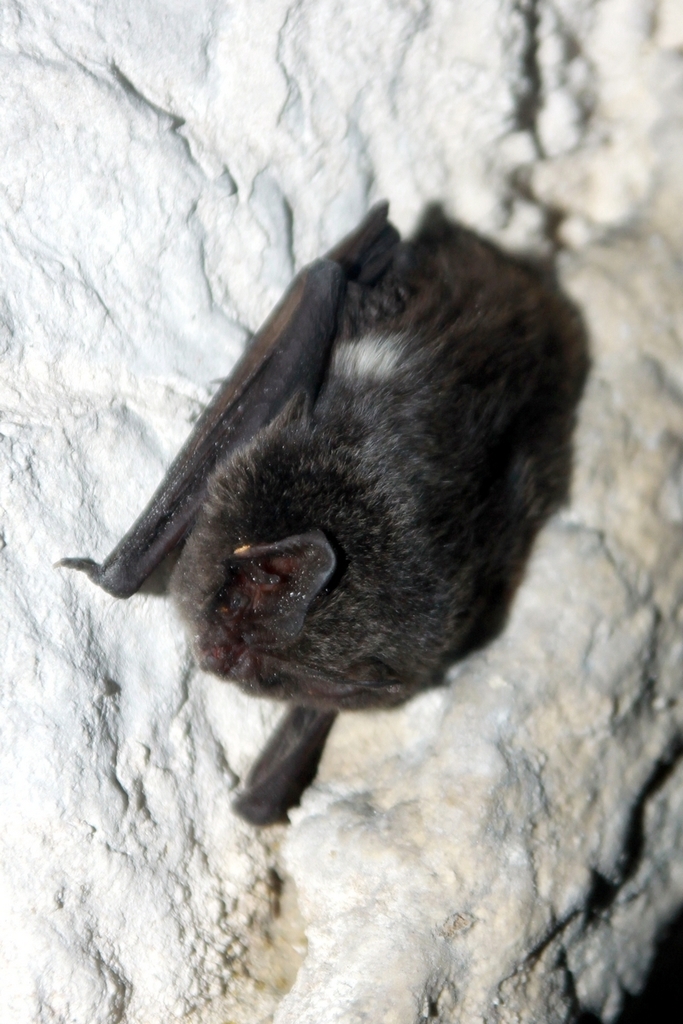
Barbastella barbastellus
♥
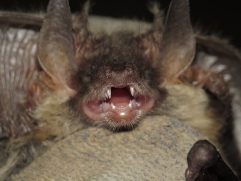
Plecotus austriacus
♥
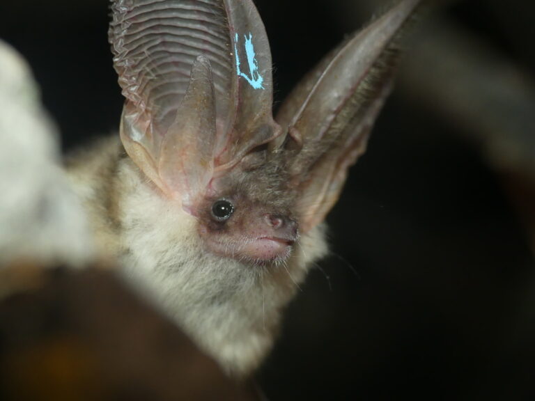
Plecotus macrobullaris
♥
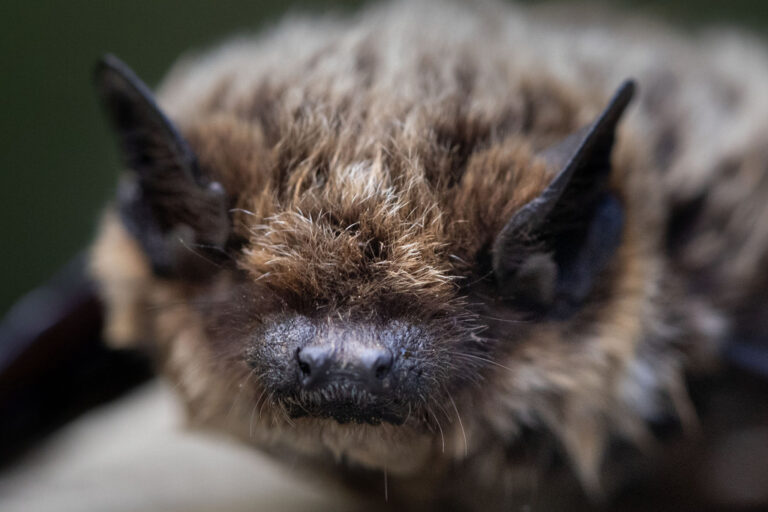
Hypsugo savii
♥
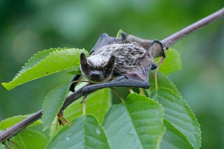
Vespertilio murinus
♥
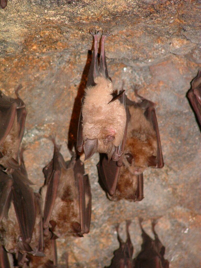
Rhinolophus ferrumequinum
♥
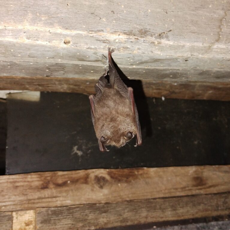
Rhinolophus hipposideros
♥
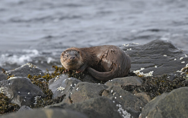
Lutra lutra
♥
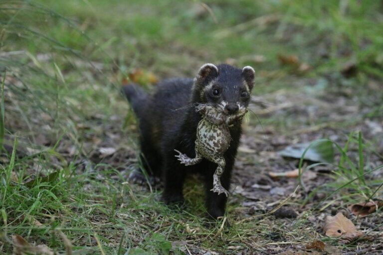
Mustela putorius
♥
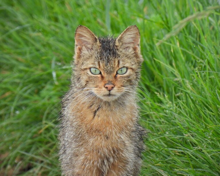
Felis silvestris
♥
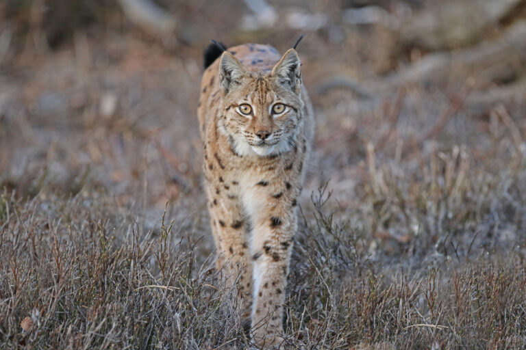
Lynx lynx
♥
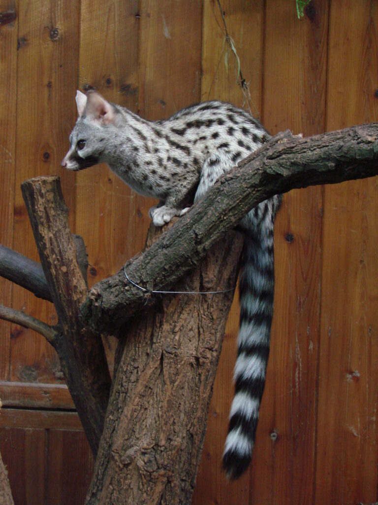
Genetta genetta
♥
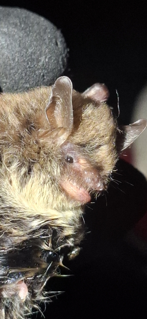
Myotis alcathoe
♥
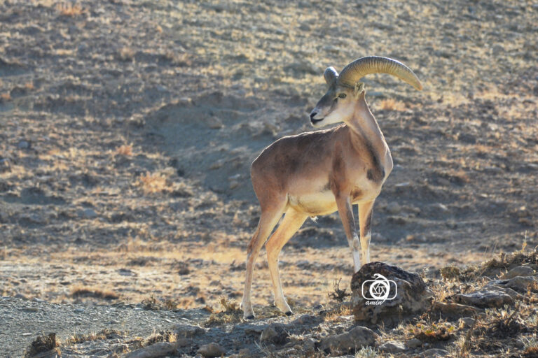
Ovis gmelinii
♥